Elevation of Cooktown Rd, Ruston, LA, USA
Location: United States > Louisiana > Lincoln Parish > > Ruston >
Longitude: -92.656620
Latitude: 32.5501866
Elevation: 84m / 276feet
Barometric Pressure: 100KPa
Elevation Map:
Satellite Map:
Related Photos:
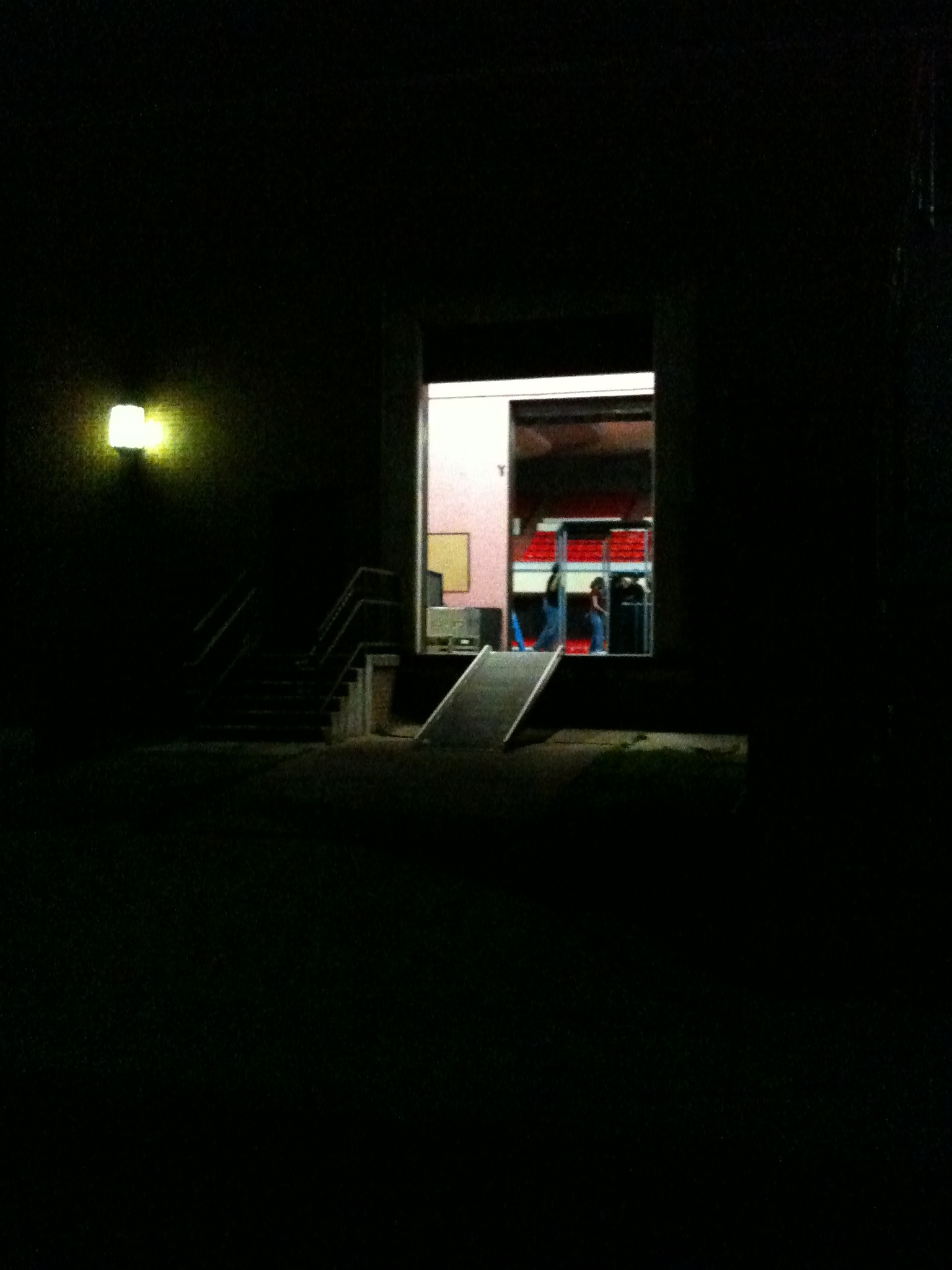
Load Out, Ruston, LA
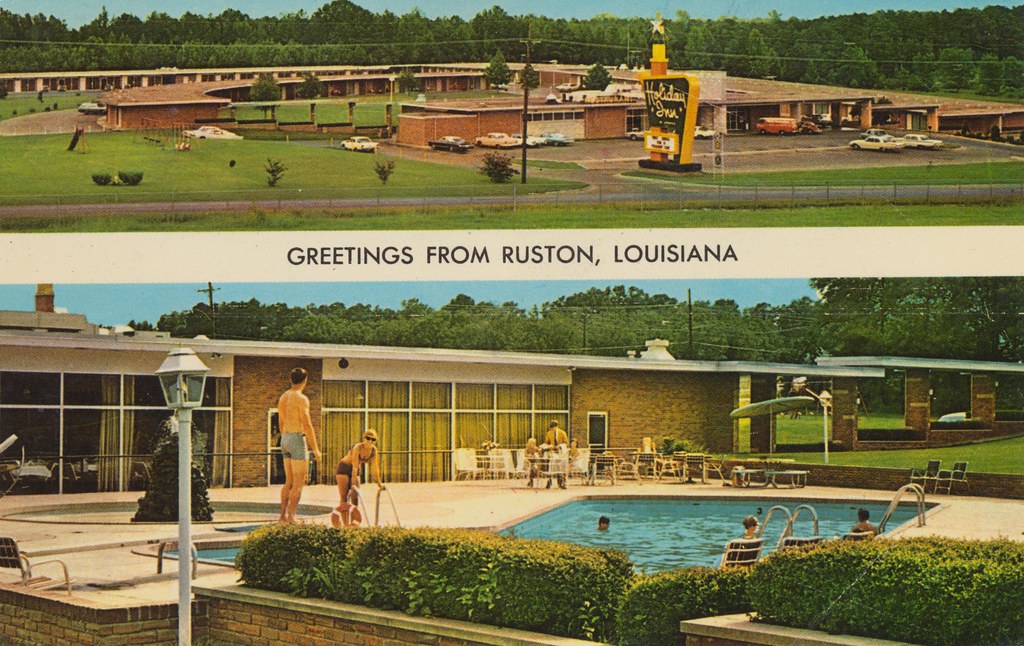
Holiday Inn - Ruston, Louisiana
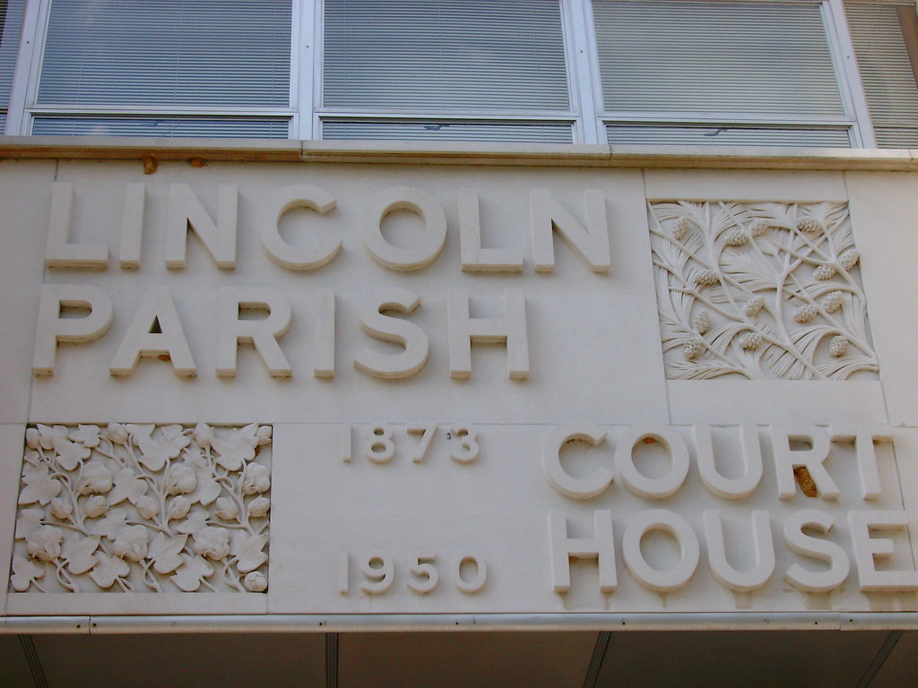
Lincoln Parish Courthouse Sign (Ruston, Louisiana)
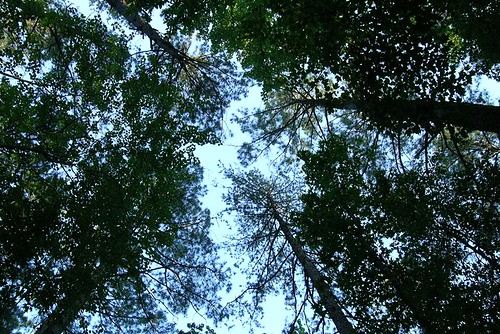
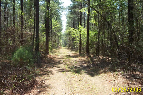
The last view of the trees overhead
My Land in Simsboro

#Peaceful #Nature Druidry #Pagan #Stressfree #Spirituality #Breathe #Healing #Wanderlust #Druidism #Urban Druid

Rugby ULL v La Tech 102012 017
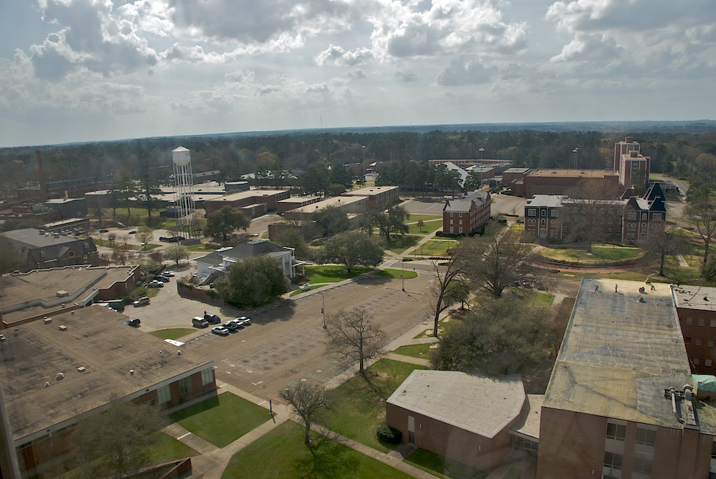
Louisiana Tech University
IMG_1904.JPG

#Peaceful #Nature #Druidry #Pagan #Stressfree #Spirituality #Breathe #Healing #Wanderlust #urbandruidry
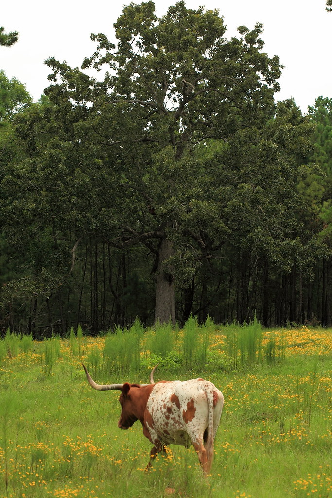
Wafer Creek Ranch IMG_3721
Topographic Map of Cooktown Rd, Ruston, LA, USA
Find elevation by address:

Places near Cooktown Rd, Ruston, LA, USA:
Llangeler Drive
411 Audubon Dr
Jim Mize Track And Field Complex
Louisiana Tech University
814 Melissa St
Ruston
7, LA, USA
310 N Bernard St
1606 Rampart Dr
1469 Mitcham Orchard Rd
Grambling
283 Par Rd 87
Lincoln Parish
Grambling State University
Myrtis Drive
LA-, Dubach, LA, USA
Simsboro
243 Walnut Creek Rd
Choudrant
5, LA, USA
Recent Searches:
- Elevation of Congressional Dr, Stevensville, MD, USA
- Elevation of Bellview Rd, McLean, VA, USA
- Elevation of Stage Island Rd, Chatham, MA, USA
- Elevation of Shibuya Scramble Crossing, 21 Udagawacho, Shibuya City, Tokyo -, Japan
- Elevation of Jadagoniai, Kaunas District Municipality, Lithuania
- Elevation of Pagonija rock, Kranto 7-oji g. 8"N, Kaunas, Lithuania
- Elevation of Co Rd 87, Jamestown, CO, USA
- Elevation of Tenjo, Cundinamarca, Colombia
- Elevation of Côte-des-Neiges, Montreal, QC H4A 3J6, Canada
- Elevation of Bobcat Dr, Helena, MT, USA