Elevation of Gouchhari, Bihar, India
Location: India > Bihar > Khagaria >
Longitude: 86.6713647
Latitude: 25.4369911
Elevation: 42m / 138feet
Barometric Pressure: 101KPa
Elevation Map:
Satellite Map:
Related Photos:

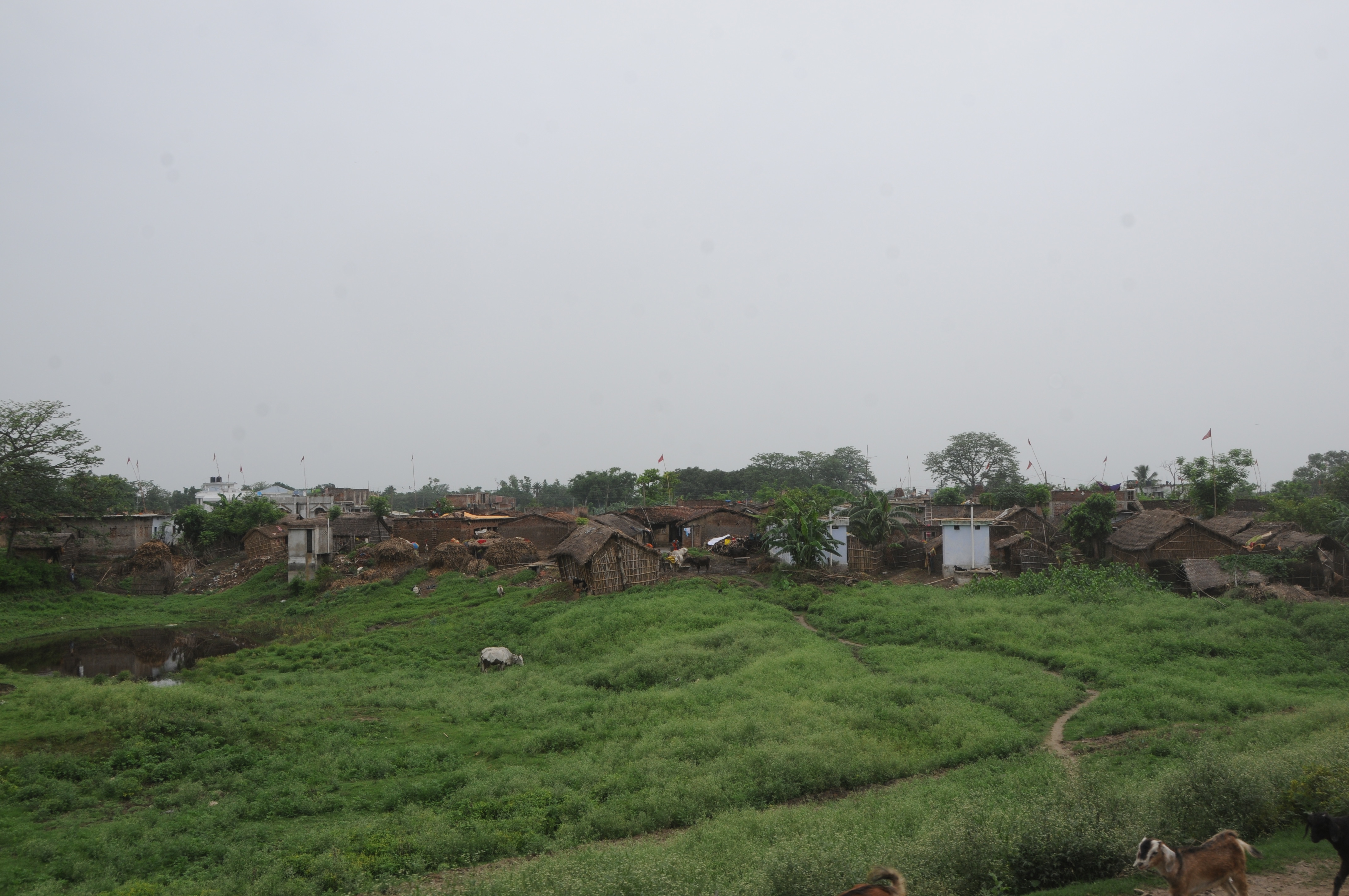
Mansi, Bihar

Mansi, Bihar

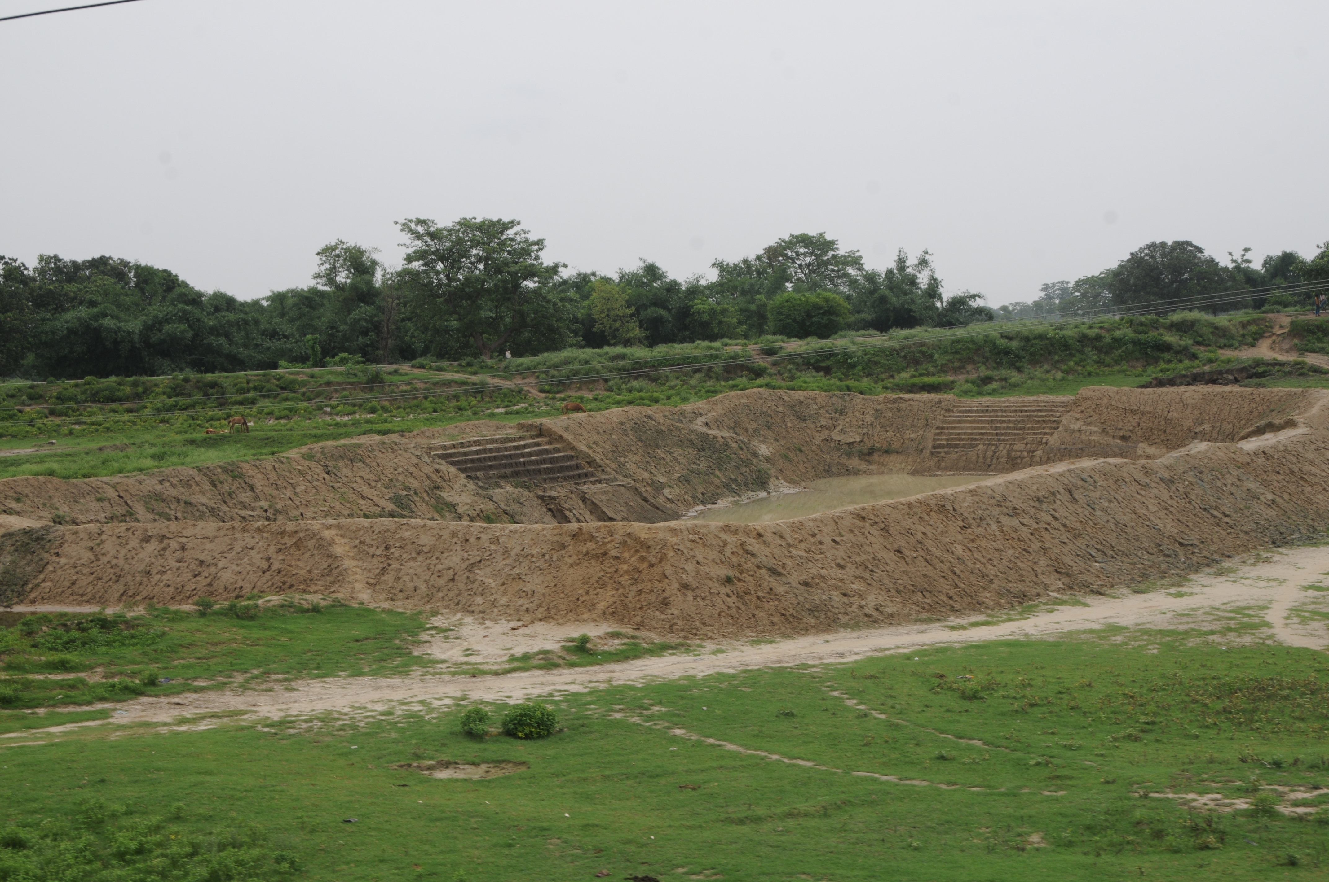
Mehdipur, Bihar

CSP_3888.JPG
CSP_3882.JPG

CSP_3878.JPG
CSP_3887.JPG
CSP_3896.JPG

CSP_3879.JPG

IMG20200714081836

PHOTO_20160421_211048

PHOTO_20160421_211134

PHOTO_20160421_211404

PHOTO_20160421_211417

PHOTO_20160421_211504

PHOTO_20160421_211525

PHOTO_20160421_211558

PHOTO_20160421_211631

PHOTO_20160421_211742

PHOTO_20160421_211916

PHOTO_20160421_211934

PHOTO_20160421_212035

PHOTO_20160421_213031

PHOTO_20160421_210646

PHOTO_20160421_210726

PHOTO_20160421_210801

PHOTO_20160421_210810

PHOTO_20160421_210853

IMG_20160421_203623

IMG_20160421_203712
Topographic Map of Gouchhari, Bihar, India
Find elevation by address:

Places near Gouchhari, Bihar, India:
Middle School Gauchhari Par
Khagaria
Munger
Khagaria
Jamalpur
Bihpur
Narayanpur
Bhagalpur
Kharik
Saharsa
Naugachia
Saharsa
Samho
Begusarai
Madhepura
Madhepura
Begusarai
Purnia
Hasanpur
Saubhadra Nivas
Recent Searches:
- Elevation of Co Rd 87, Jamestown, CO, USA
- Elevation of Tenjo, Cundinamarca, Colombia
- Elevation of Côte-des-Neiges, Montreal, QC H4A 3J6, Canada
- Elevation of Bobcat Dr, Helena, MT, USA
- Elevation of Zu den Ihlowbergen, Althüttendorf, Germany
- Elevation of Badaber, Peshawar, Khyber Pakhtunkhwa, Pakistan
- Elevation of SE Heron Loop, Lincoln City, OR, USA
- Elevation of Slanický ostrov, 01 Námestovo, Slovakia
- Elevation of Spaceport America, Co Rd A, Truth or Consequences, NM, USA
- Elevation of Warwick, RI, USA