Elevation of Bihpur, Bihar, India
Location: India > Bihar > Bhagalpur >
Longitude: 86.9353266
Latitude: 25.3865606
Elevation: 40m / 131feet
Barometric Pressure: 101KPa
Elevation Map:
Satellite Map:
Related Photos:

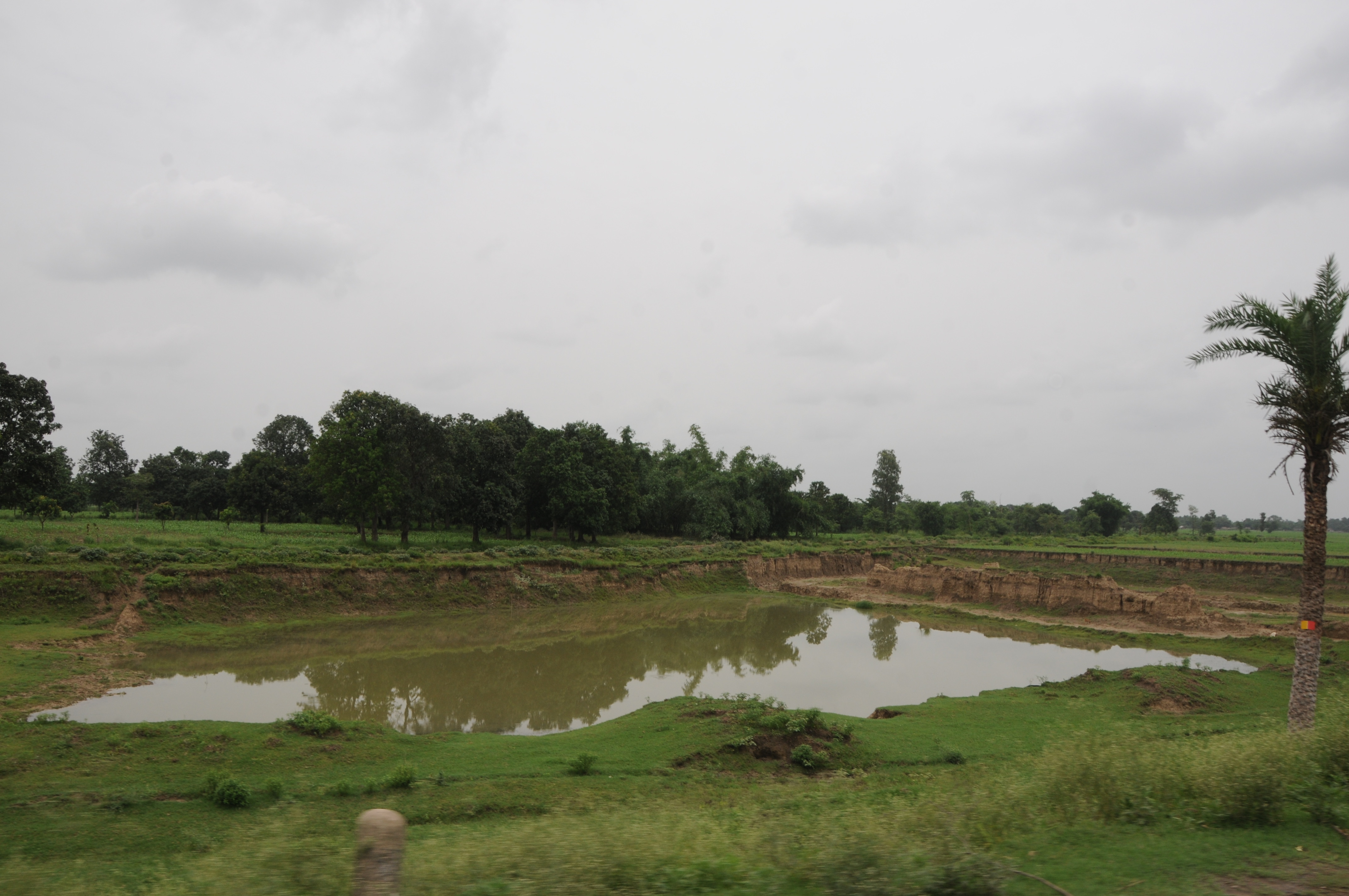
Marwa, Bihar
Jhajhra, Bihar
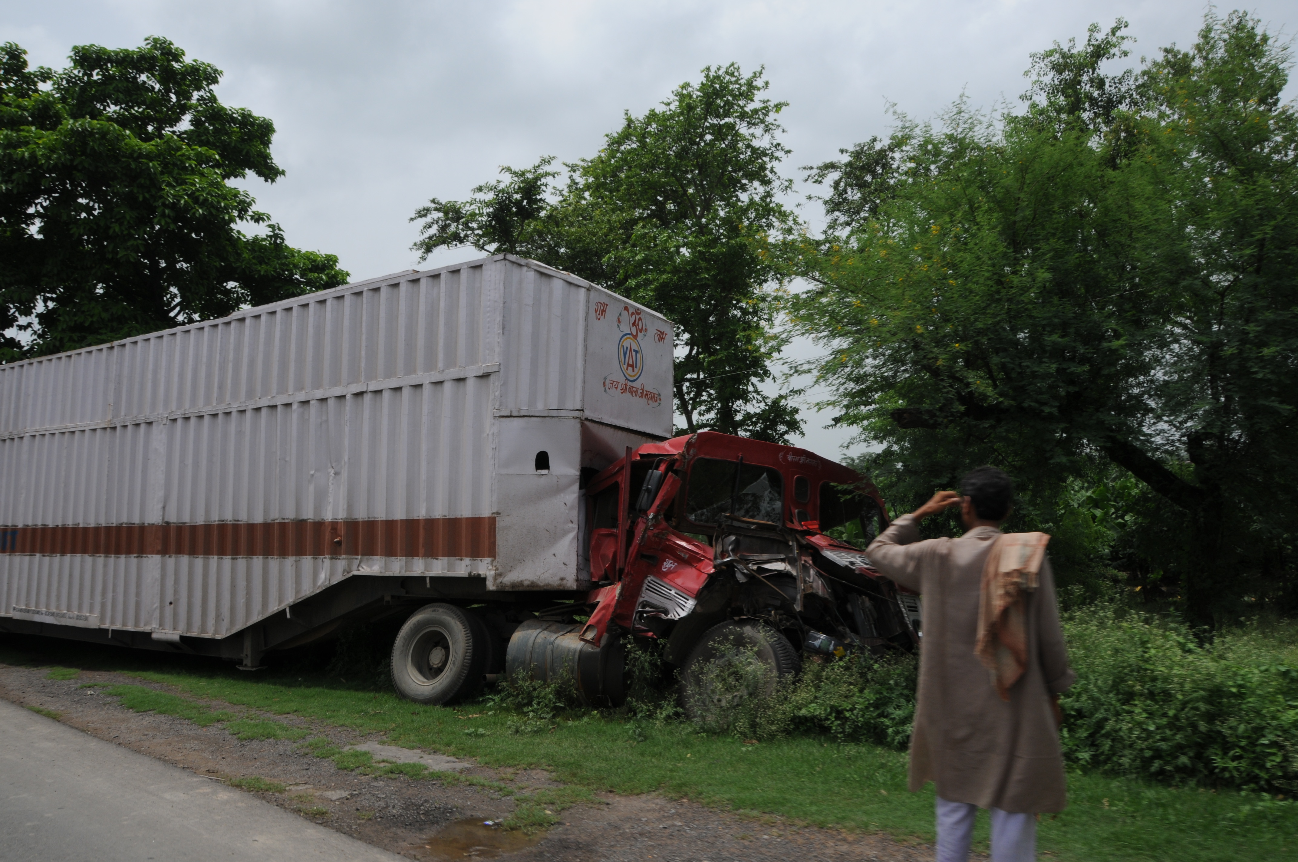
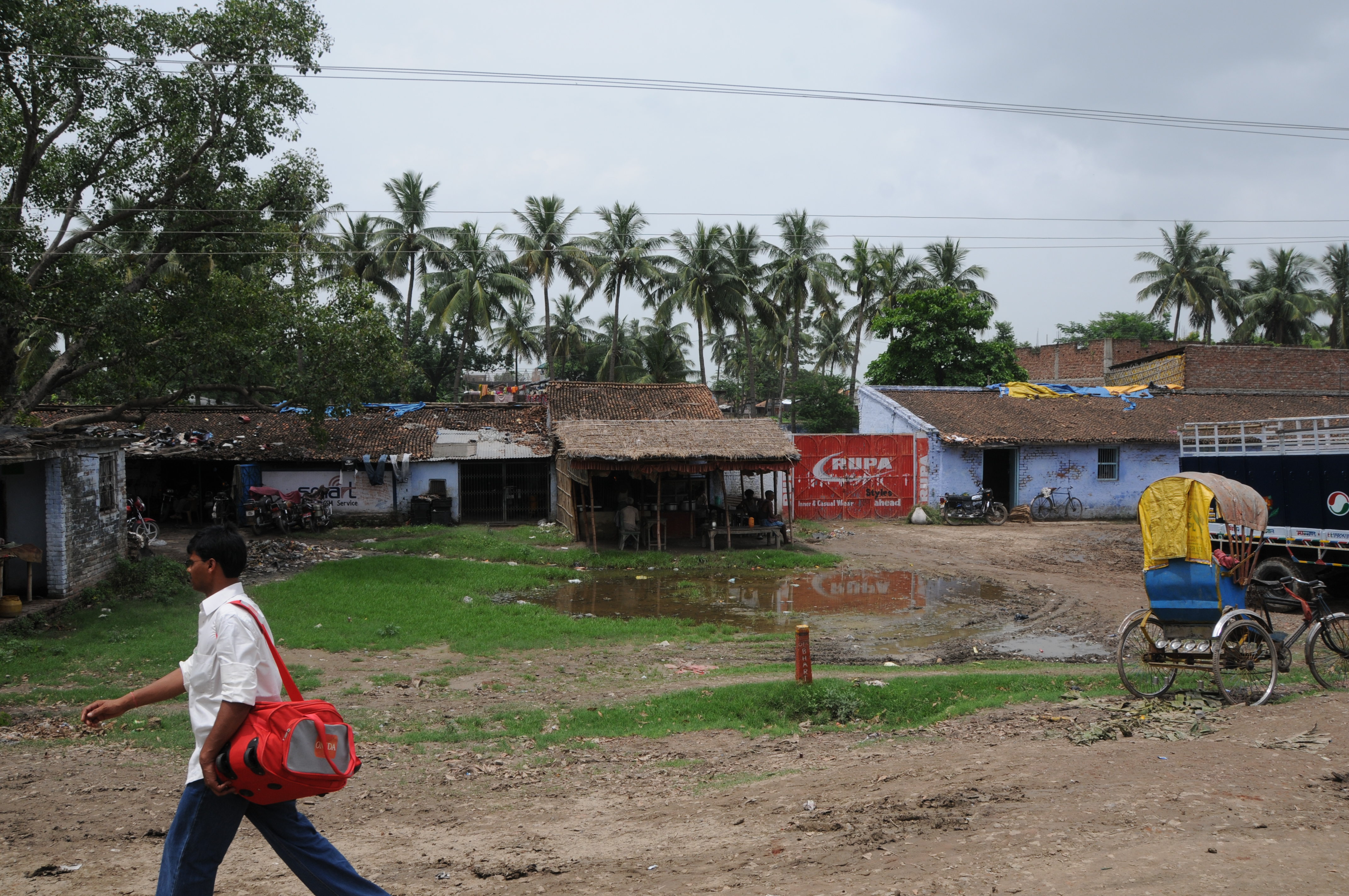
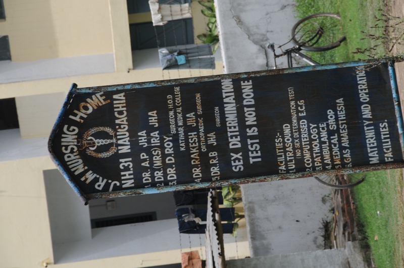
Naugachhia, Bihar(2008)
CSP_3904.JPG
CSP_3900.JPG

CSP_3899.JPG

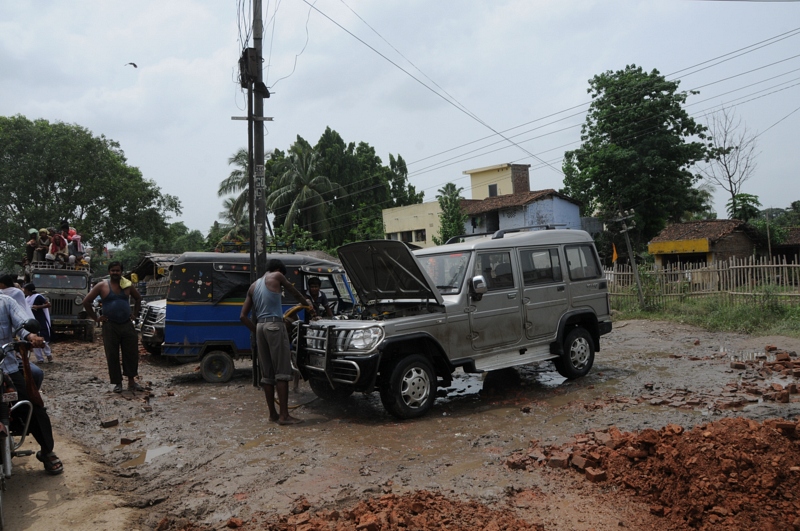
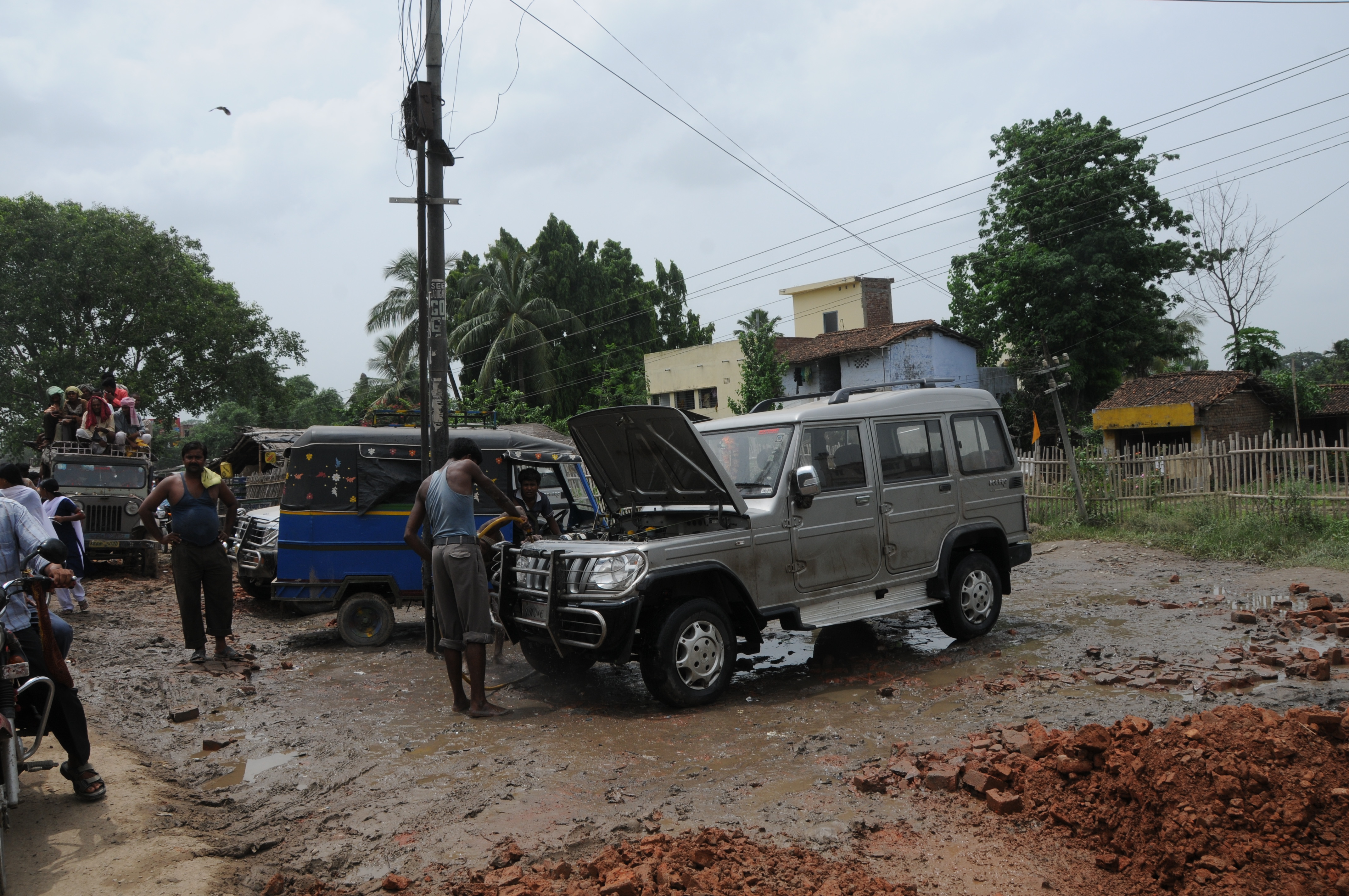
Naugachhia, Bihar(2008)
CSP_3901.JPG

CSP_3903.JPG
CSP_3902.JPG
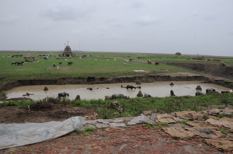
Naugachhia, Bihar(2008)
Topographic Map of Bihpur, Bihar, India
Find elevation by address:

Places near Bihpur, Bihar, India:
Narayanpur
Bhagalpur
Kharik
Naugachia
Khagaria
Middle School Gauchhari Par
Gouchhari
Purnia
Jamalpur
Munger
Khagaria
Madhepura
Madhepura
Saharsa
Saharsa
Samho
Begusarai
Begusarai
Supaul
Hasanpur
Recent Searches:
- Elevation of Gateway Blvd SE, Canton, OH, USA
- Elevation of East W.T. Harris Boulevard, E W.T. Harris Blvd, Charlotte, NC, USA
- Elevation of West Sugar Creek, Charlotte, NC, USA
- Elevation of Wayland, NY, USA
- Elevation of Steadfast Ct, Daphne, AL, USA
- Elevation of Lagasgasan, X+CQH, Tiaong, Quezon, Philippines
- Elevation of Rojo Ct, Atascadero, CA, USA
- Elevation of Flagstaff Drive, Flagstaff Dr, North Carolina, USA
- Elevation of Avery Ln, Lakeland, FL, USA
- Elevation of Woolwine, VA, USA