Elevation of Gotta Avenue, Gotta Ave, Fritz Creek, AK, USA
Location: United States > Alaska > Kenai Peninsula Borough > Fritz Creek >
Longitude: -151.17292
Latitude: 59.767902
Elevation: 257m / 843feet
Barometric Pressure: 98KPa
Elevation Map:
Satellite Map:
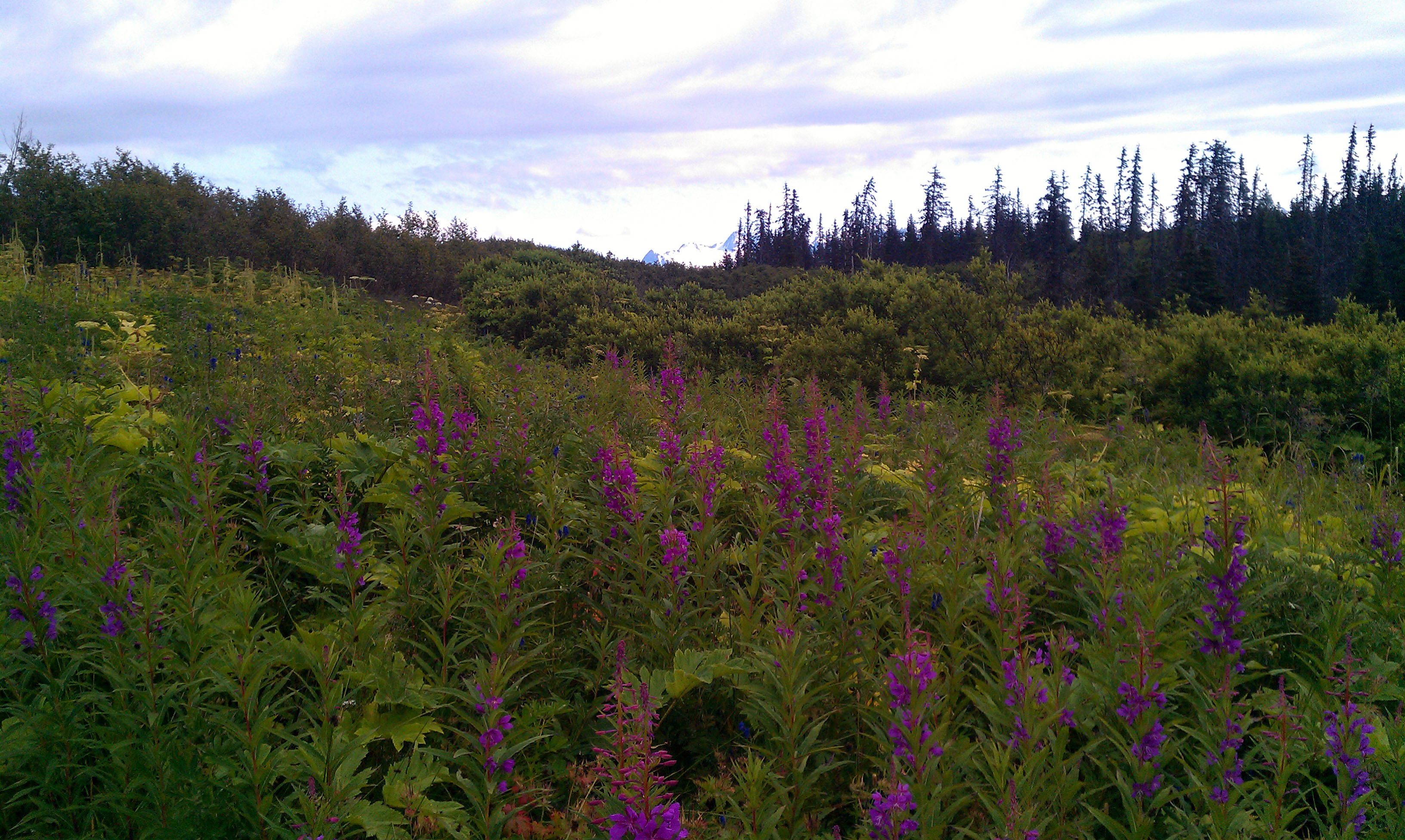
Related Photos:
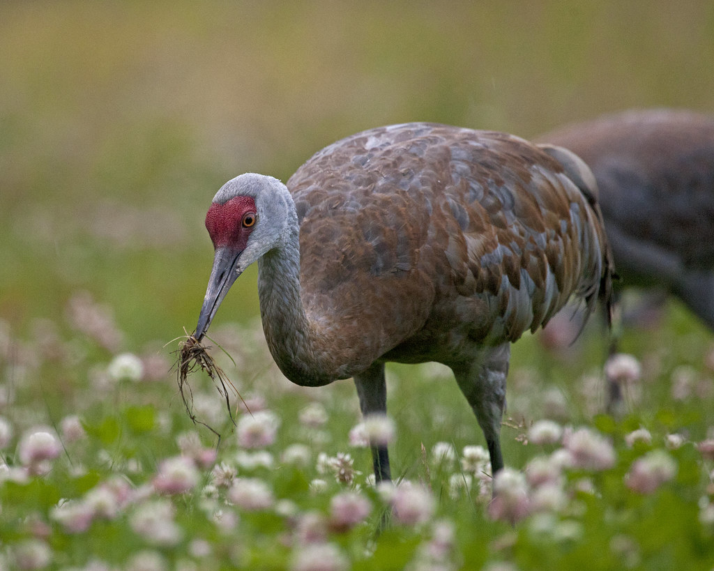
Sandhill Crane (Grus grus)
view of the lake

Kachemak Bay taken from Old East End Road
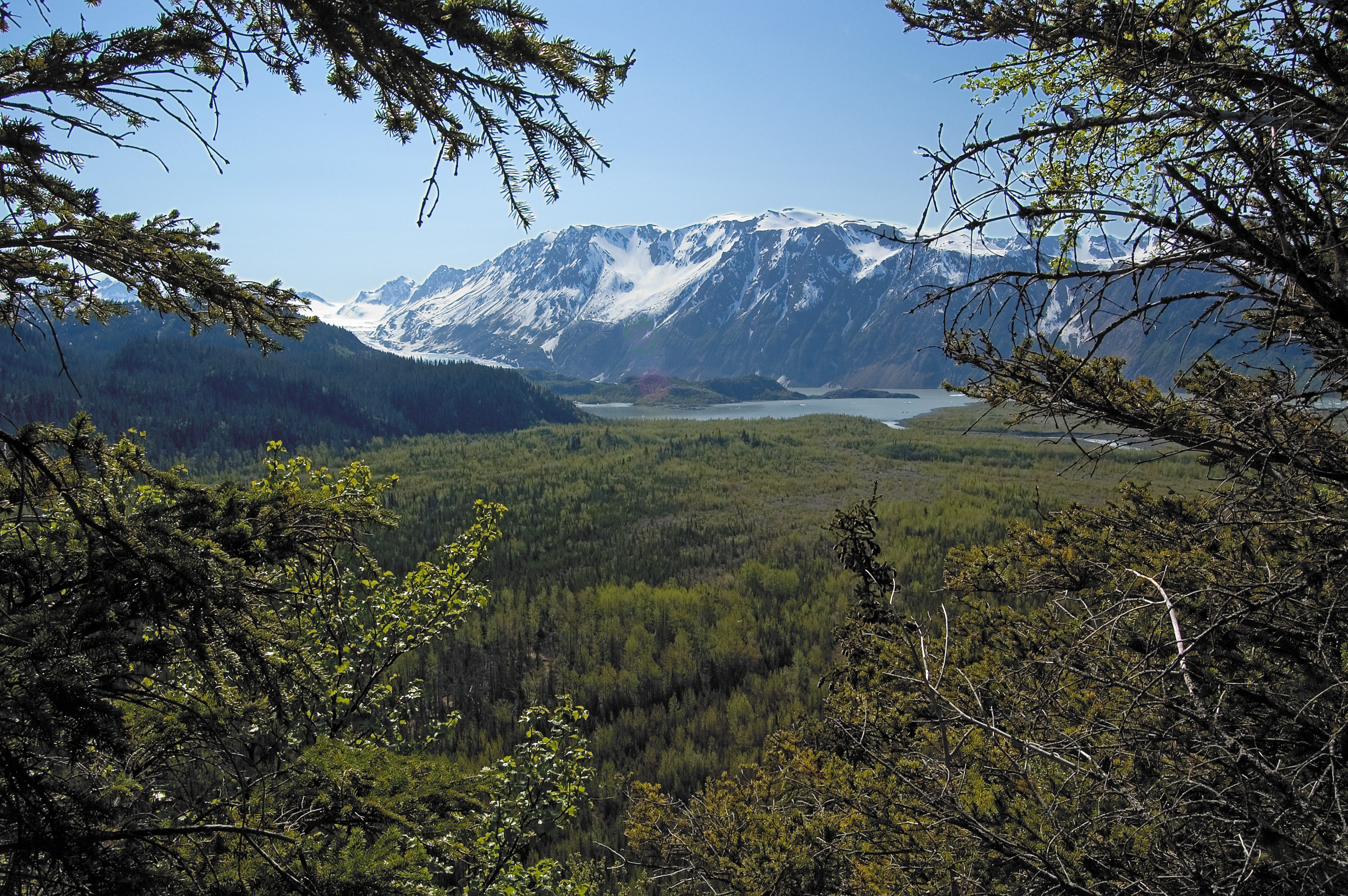
Glacier Lake
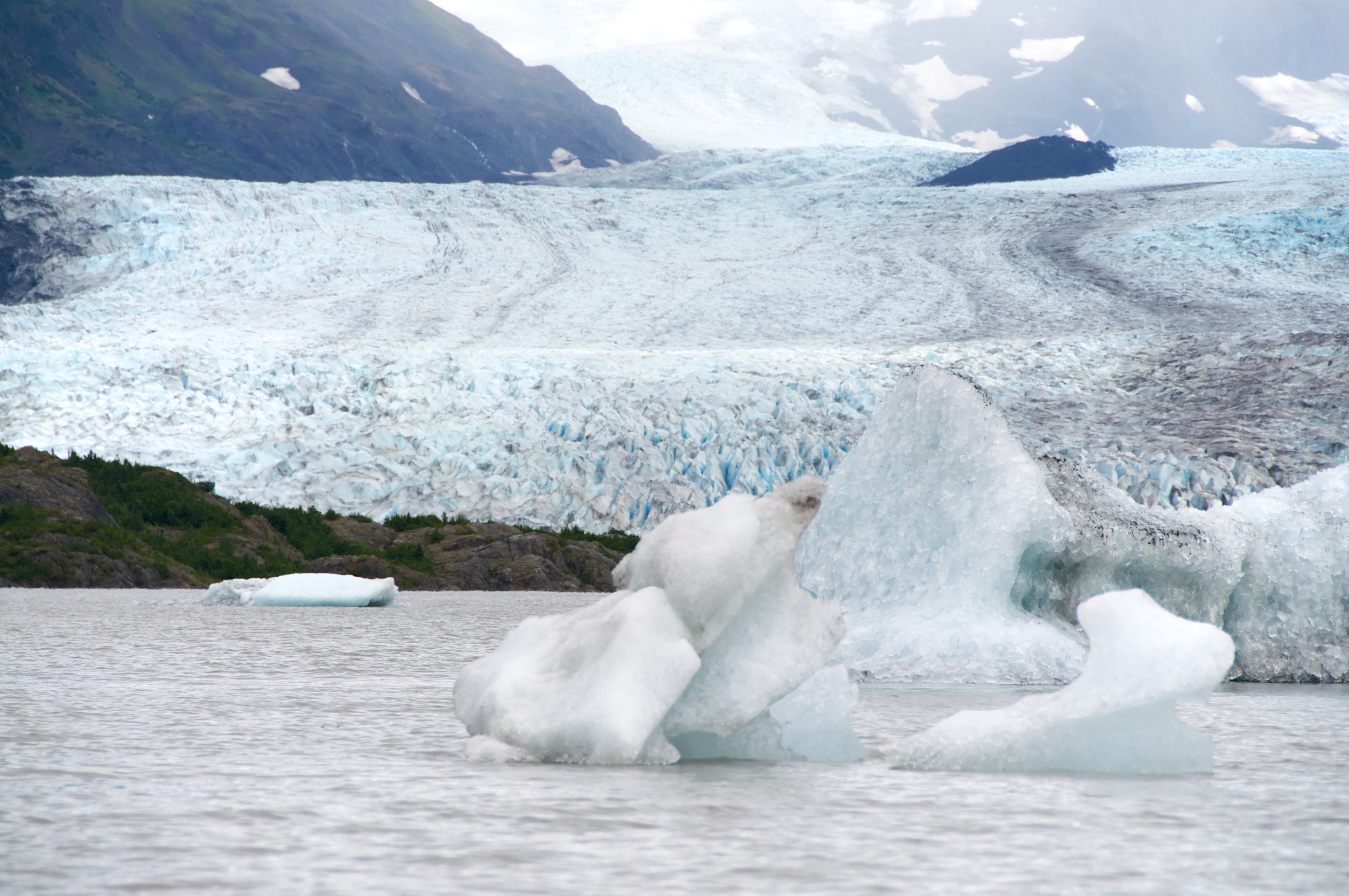
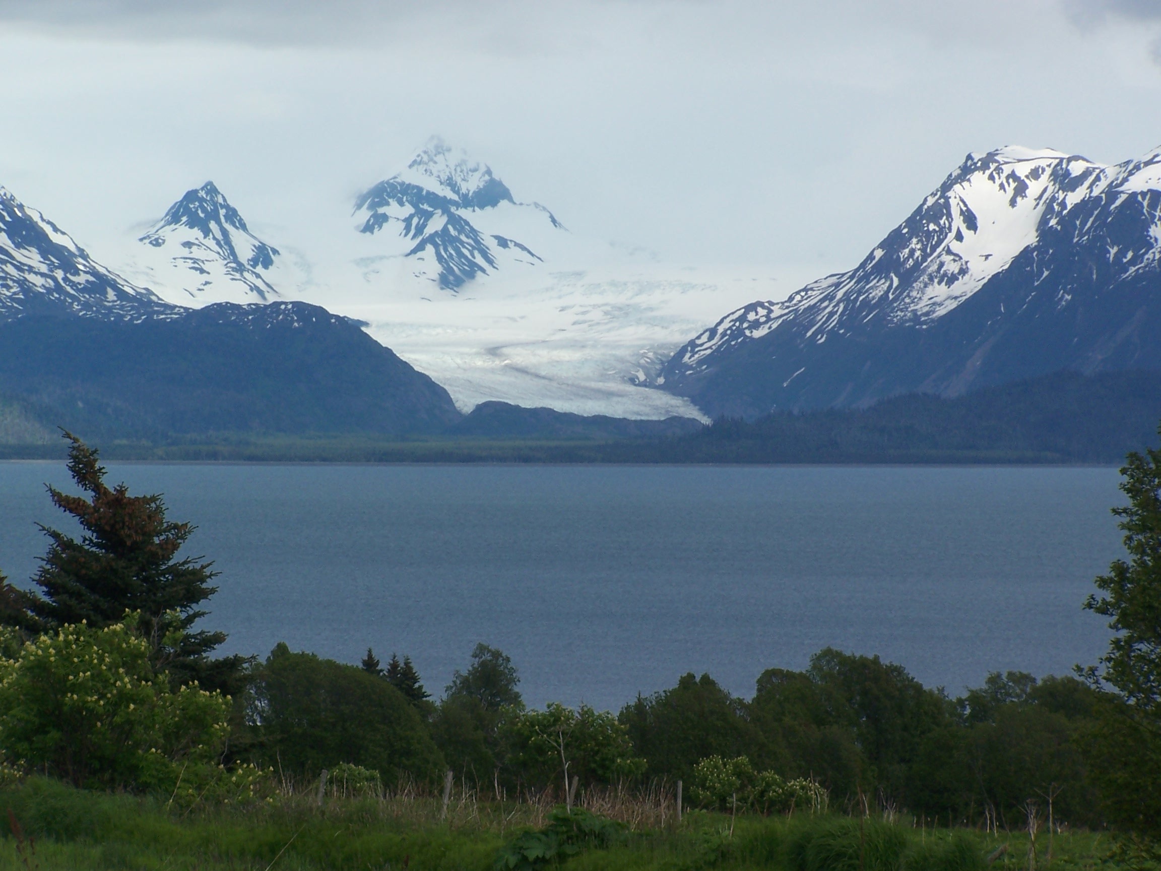
Portlock Glacier, Portage, Alaska
Across Katchemak Bay
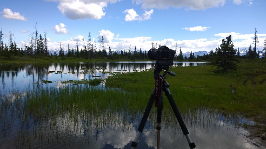
Nokia WP- Canon 5D MIII On Location (37)
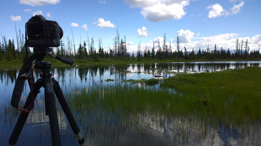
Nokia WP- Canon 5D MIII On Location (38)
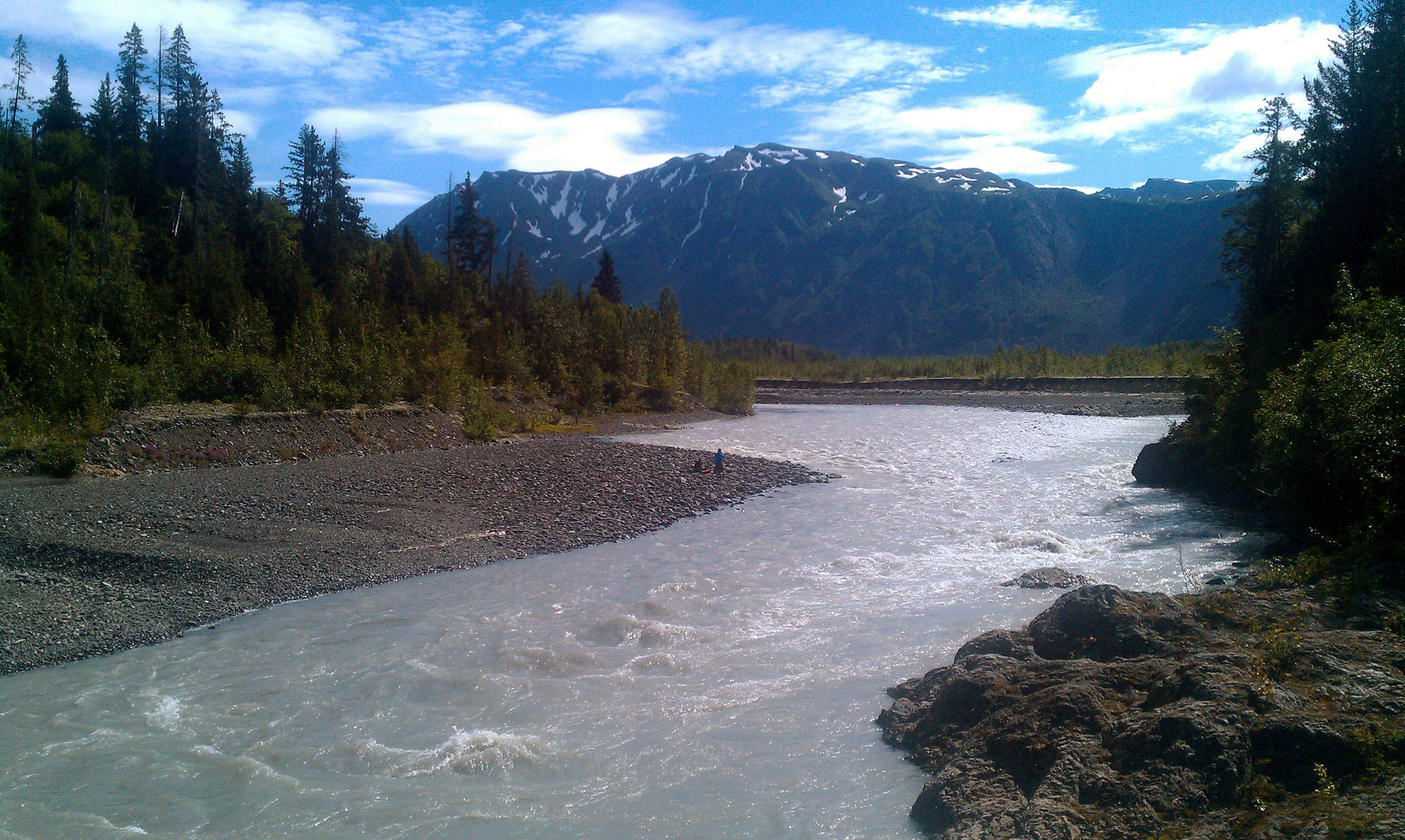
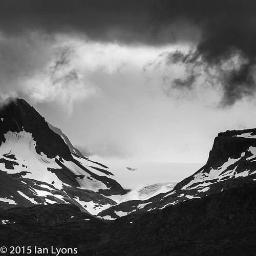
Grinwick Glacier Melt
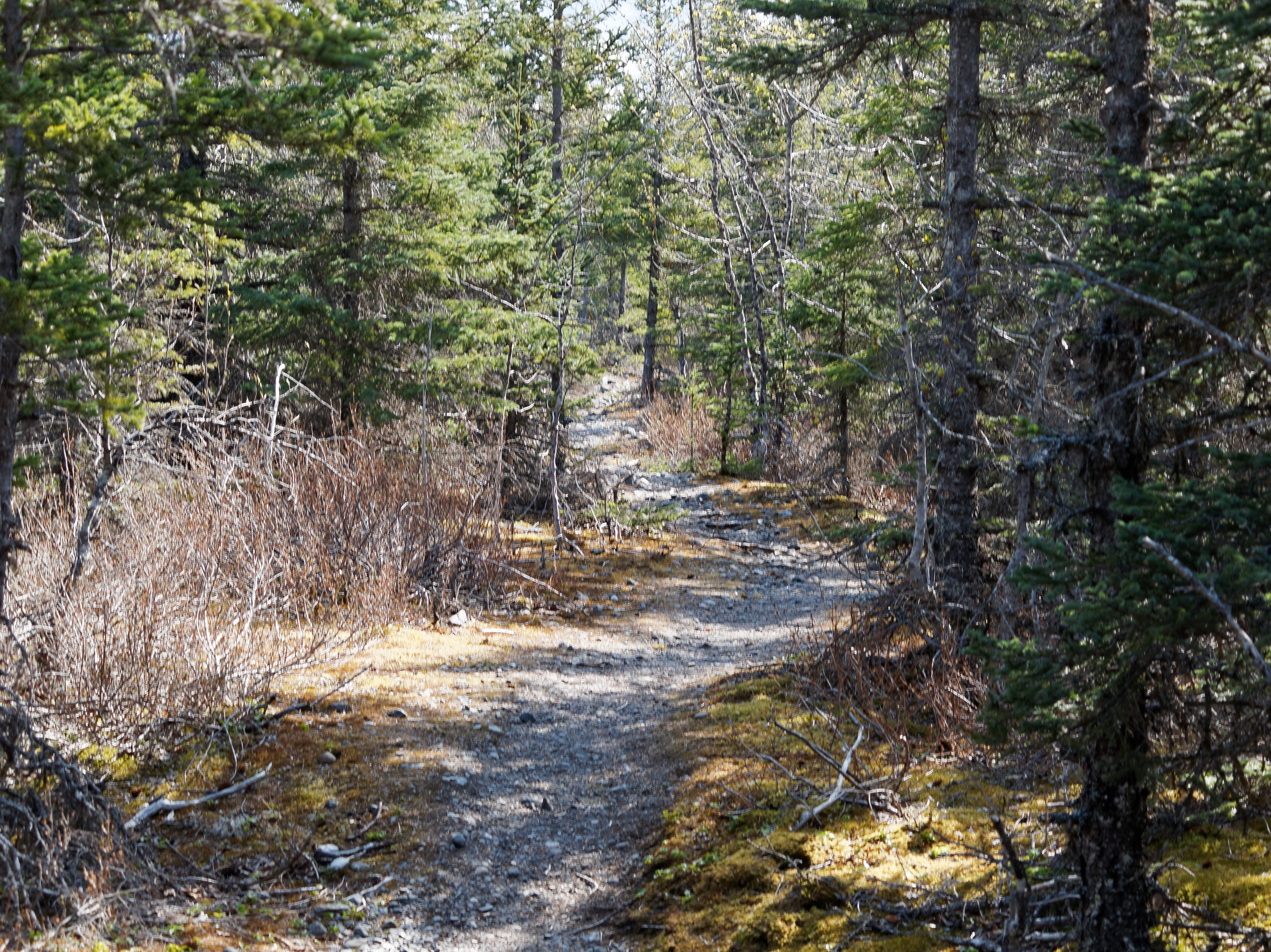
The trail
100819_JTSg_9960.jpg
100820_JTSg_0168.jpg

2012-10-13 12.29.11 HDR
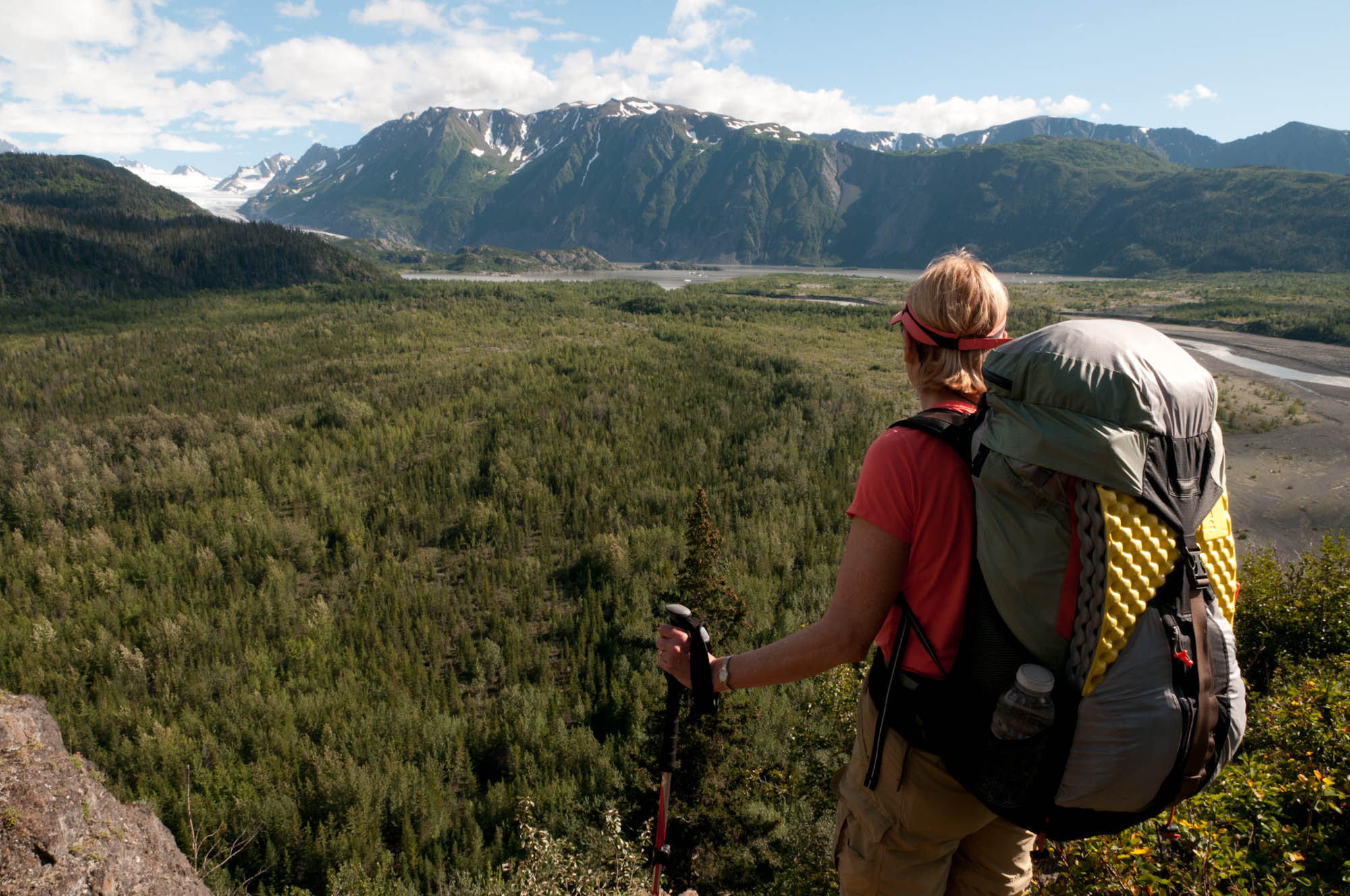
jon above grewingk valley
Eveline State Park Homer
Topographic Map of Gotta Avenue, Gotta Ave, Fritz Creek, AK, USA
Find elevation by address:

Places near Gotta Avenue, Gotta Ave, Fritz Creek, AK, USA:
Moonrise Street
34955 Lowbush St
50215 East End Rd
52038 Old E End Rd
Kilcher Homestead
Kilcher Road
Fritz Creek
38415 Walters St
Bear Cove
sidelinger Trail, Halibut Cove, AK, USA
Fritz Creek General Store
56300 East End Rd
56132 Glenn Rd
Cannonball Circle
56764 Thurston Dr
56857 Thurston Dr
Fox River
40652 Dave Rd
59250 Ohlson Mountain Rd
Kachemak Dr, Homer, AK, USA
Recent Searches:
- Elevation of Pinewood Dr, New Bern, NC, USA
- Elevation of Mountain View, CA, USA
- Elevation of Foligno, Province of Perugia, Italy
- Elevation of Blauwestad, Netherlands
- Elevation of Bella Terra Blvd, Estero, FL, USA
- Elevation of Estates Loop, Priest River, ID, USA
- Elevation of Woodland Oak Pl, Thousand Oaks, CA, USA
- Elevation of Brownsdale Rd, Renfrew, PA, USA
- Elevation of Corcoran Ln, Suffolk, VA, USA
- Elevation of Mamala II, Sariaya, Quezon, Philippines