Elevation of Gopalganj, Bihar, India
Location: India > Bihar > Gopalganj >
Longitude: 84.4433318
Latitude: 26.4685472
Elevation: 74m / 243feet
Barometric Pressure: 100KPa
Elevation Map:
Satellite Map:
Related Photos:

Bhanu singh
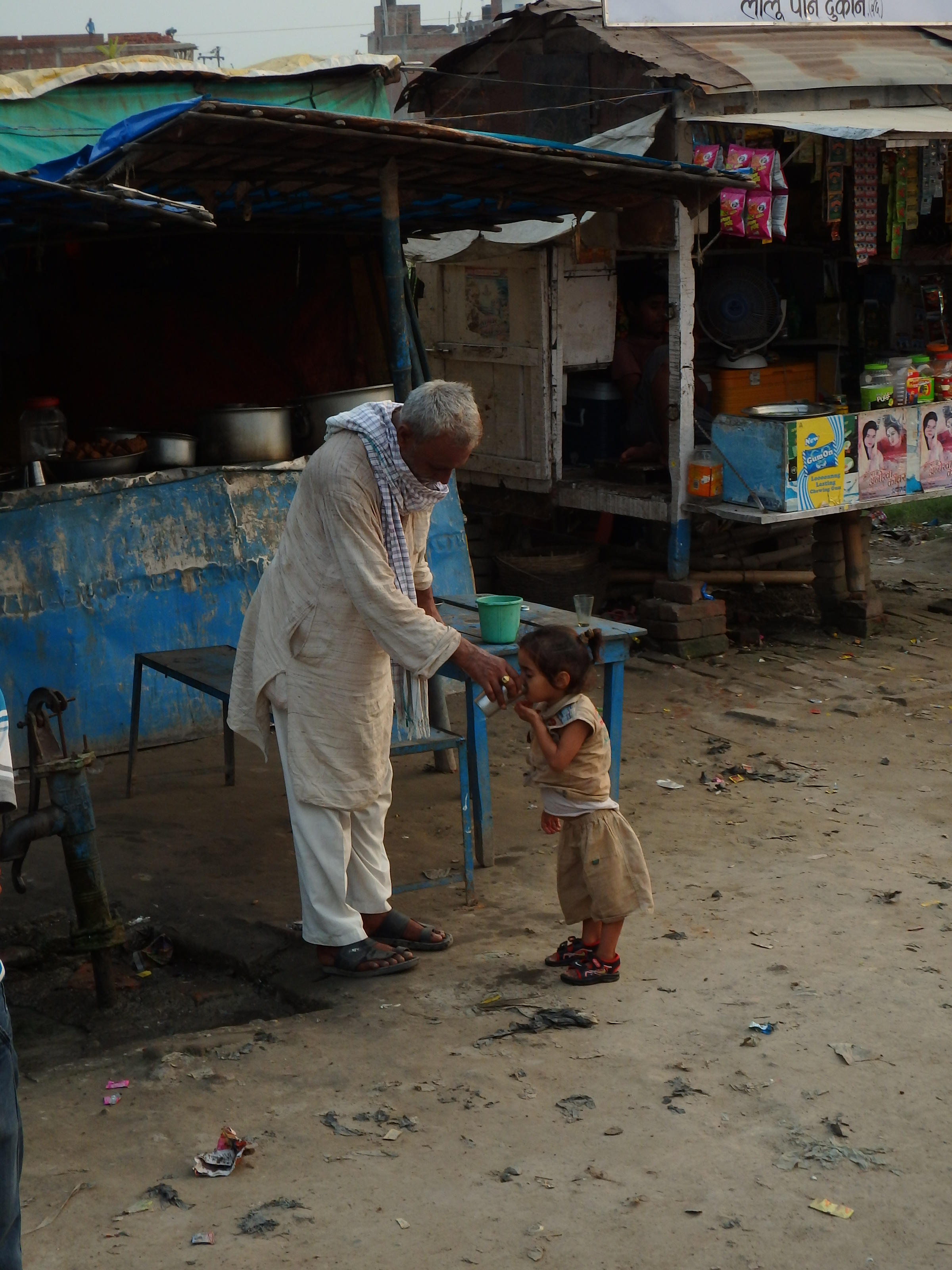
Drink (3)
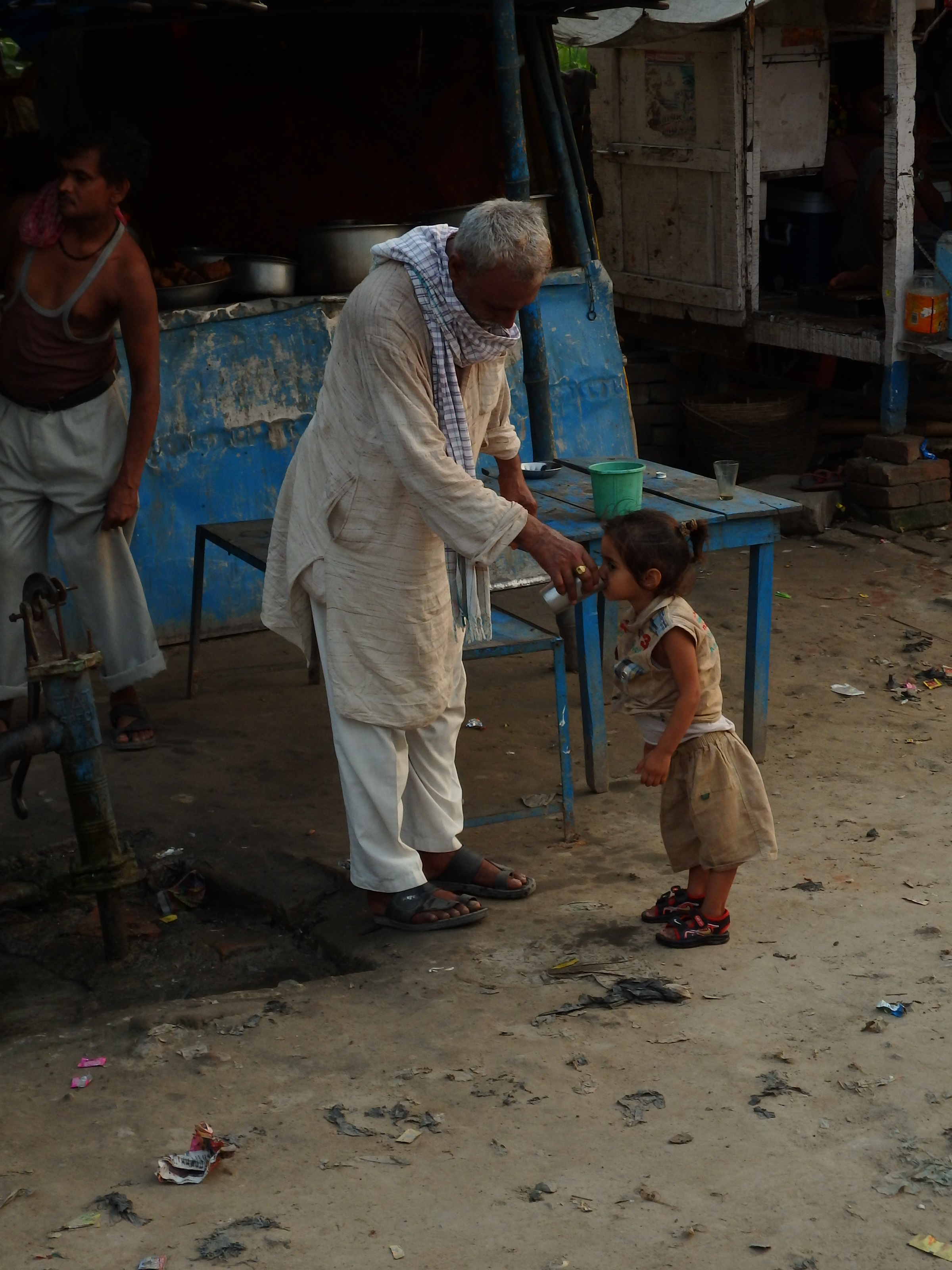
Drink (2)

Drink (1)

#AnujKumarGupta & #TauseefAhmadZeya #Selfie

Ram gurung
Topographic Map of Gopalganj, Bihar, India
Find elevation by address:

Places near Gopalganj, Bihar, India:
Gopalganj
Siwan
Purvi Champaran
Motihari
Saran
Chhapra
Newaji Tola
Purbari Telpa
Garkha Block Office
Chapra Sadar Block Office
Garkha
Sheohar
Sheohar
Bela
Dariyapur Police Station
Suarmarwa
Arrah
Sone River
Muzaffarpur
Bhojpur
Recent Searches:
- Elevation of N, Mt Pleasant, UT, USA
- Elevation of 6 Rue Jules Ferry, Beausoleil, France
- Elevation of Sattva Horizon, 4JC6+G9P, Vinayak Nagar, Kattigenahalli, Bengaluru, Karnataka, India
- Elevation of Great Brook Sports, Gold Star Hwy, Groton, CT, USA
- Elevation of 10 Mountain Laurels Dr, Nashua, NH, USA
- Elevation of 16 Gilboa Ln, Nashua, NH, USA
- Elevation of Laurel Rd, Townsend, TN, USA
- Elevation of 3 Nestling Wood Dr, Long Valley, NJ, USA
- Elevation of Ilungu, Tanzania
- Elevation of Yellow Springs Road, Yellow Springs Rd, Chester Springs, PA, USA