Elevation map of Saran, Bihar, India
Location: India > Bihar >
Longitude: 84.8567932
Latitude: 25.8559698
Elevation: 55m / 180feet
Barometric Pressure: 101KPa
Elevation Map:
Satellite Map:
Related Photos:
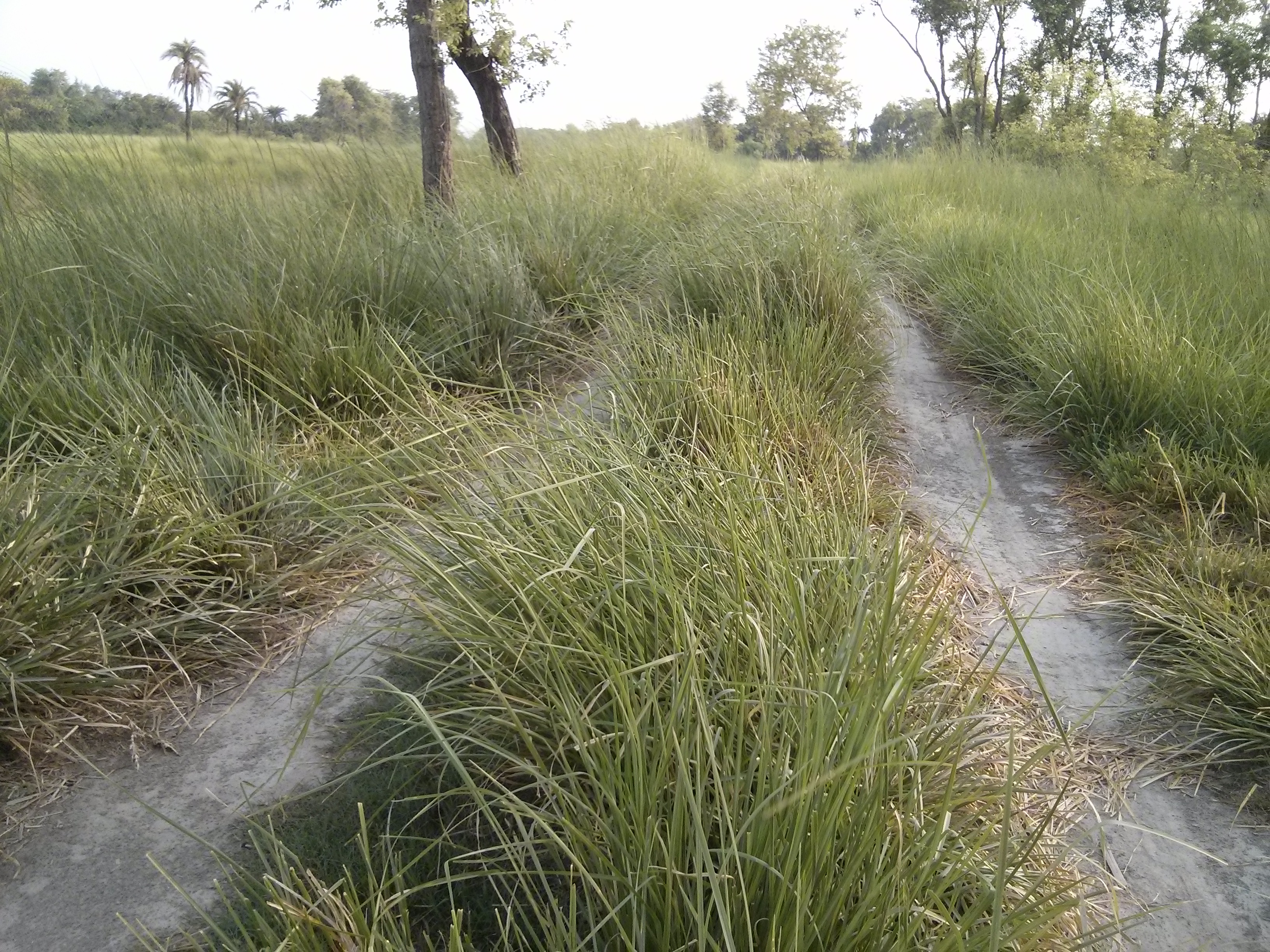
IMG_20140610_060454

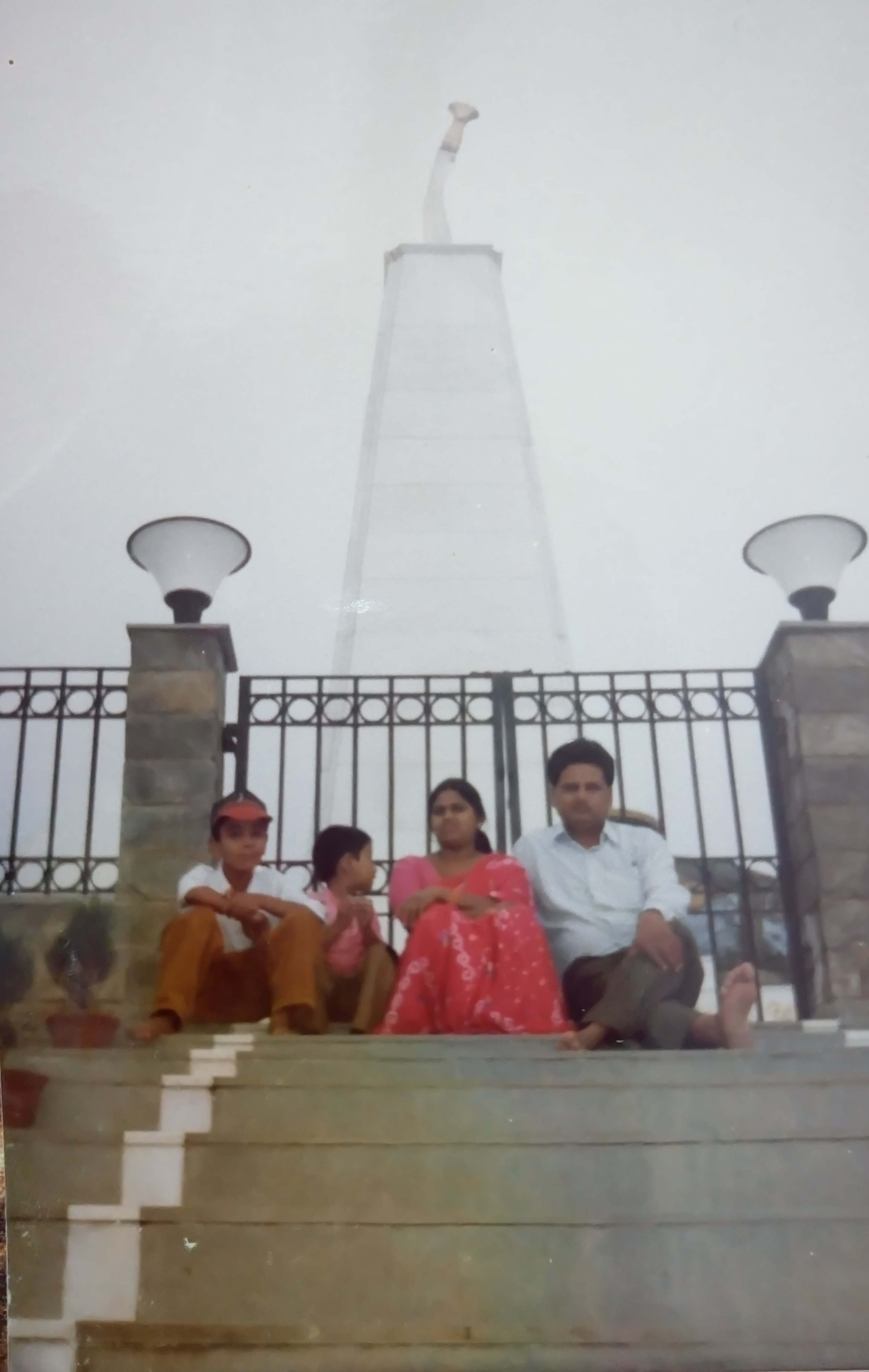
DSC_0798-01

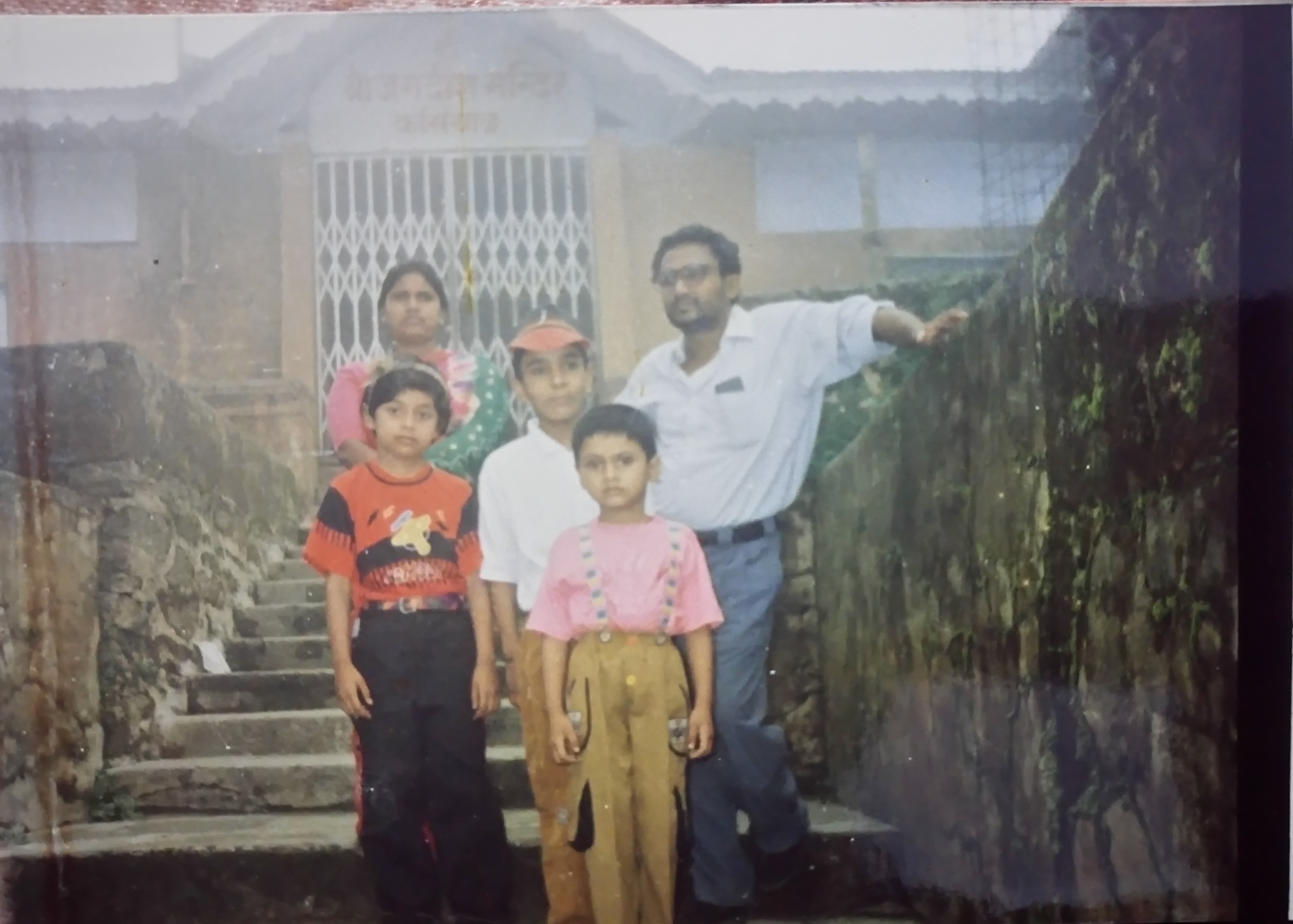
DSC_0799-01

DSC_0797-01

DSC_0796-01

DSC_0795-01

DSC_0794-01
DSC_0793-01
DSC_0791-01

Swati sinha
Topographic Map of Saran, Bihar, India
Find elevation by address:

Places in Saran, Bihar, India:
Places near Saran, Bihar, India:
Garkha Block Office
Garkha
Purbari Telpa
Chapra Sadar Block Office
Newaji Tola
Chhapra
Bela
Dariyapur Police Station
Suarmarwa
Sone River
Danapur
Digha–sonpur Rail-road Bridge
Police Station Parsa
Arrah
Ibrahimpur
Dujra Diara
Pmch Bus Stop
Patna
New Area
Hasanpura
Recent Searches:
- Elevation of 12 Hutchinson Woods Dr, Fletcher, NC, USA
- Elevation of Holloway Ave, San Francisco, CA, USA
- Elevation of Norfolk, NY, USA
- Elevation of - San Marcos Pass Rd, Santa Barbara, CA, USA
- Elevation of th Pl SE, Issaquah, WA, USA
- Elevation of 82- D Rd, Captain Cook, HI, USA
- Elevation of Harlow CM20 2PR, UK
- Elevation of Shenyang Agricultural University, Dong Ling Lu, Shen He Qu, Shen Yang Shi, Liao Ning Sheng, China
- Elevation of Alpha Dr, Melbourne, FL, USA
- Elevation of Hiroshima University, 1-chōme-3-2 Kagamiyama, Higashihiroshima, Hiroshima -, Japan