Elevation of Goodwin Rd, Gibsons, BC V0N 1V1, Canada
Location: Canada > British Columbia > Sunshine Coast > Sunshine Coast F >
Longitude: -123.50089
Latitude: 49.415798
Elevation: 138m / 453feet
Barometric Pressure: 100KPa
Elevation Map:
Satellite Map:
Related Photos:

Vancouver and Mount Baker Volcano

Big Blue World

Rain Clouds over lighthouse, Bowen Island, British Columbia, Canada
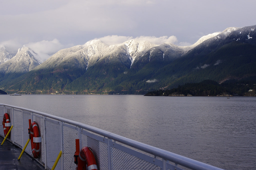
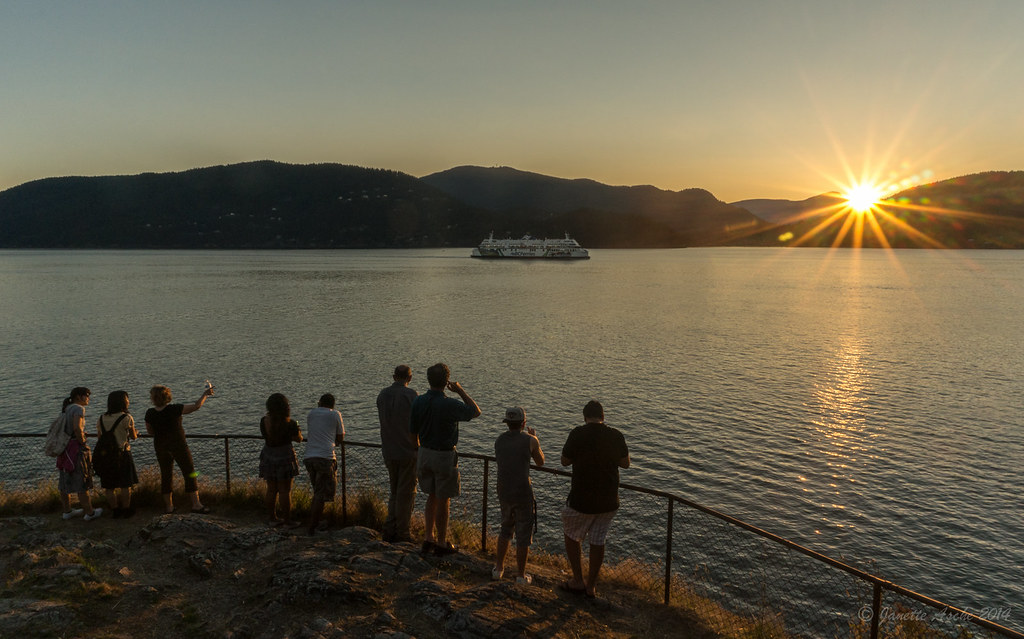
View From the Ferry

2014 Aug 03 Soames Hill 6869

2014 Aug 03 Soames Hill 6913

Sunrise and prayer flags
2014 Aug 03 Soames Hill 6833

Langley Roadriders

Today's View

Vancouver and Mount Baker Volcano

never get tired of the view....
Morning View
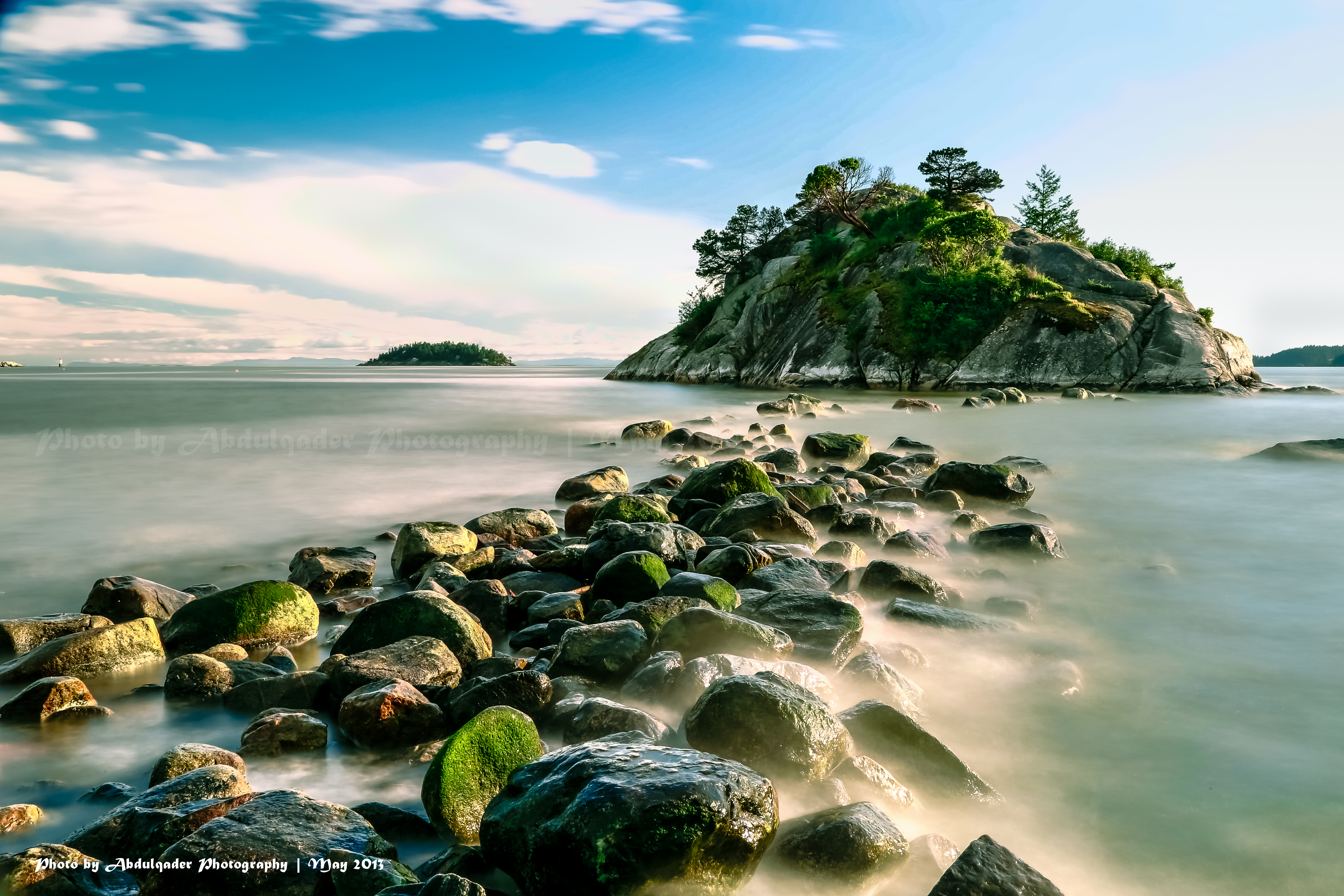
Beautiful View from Whytecliff Park in West Vancouver
Today's View
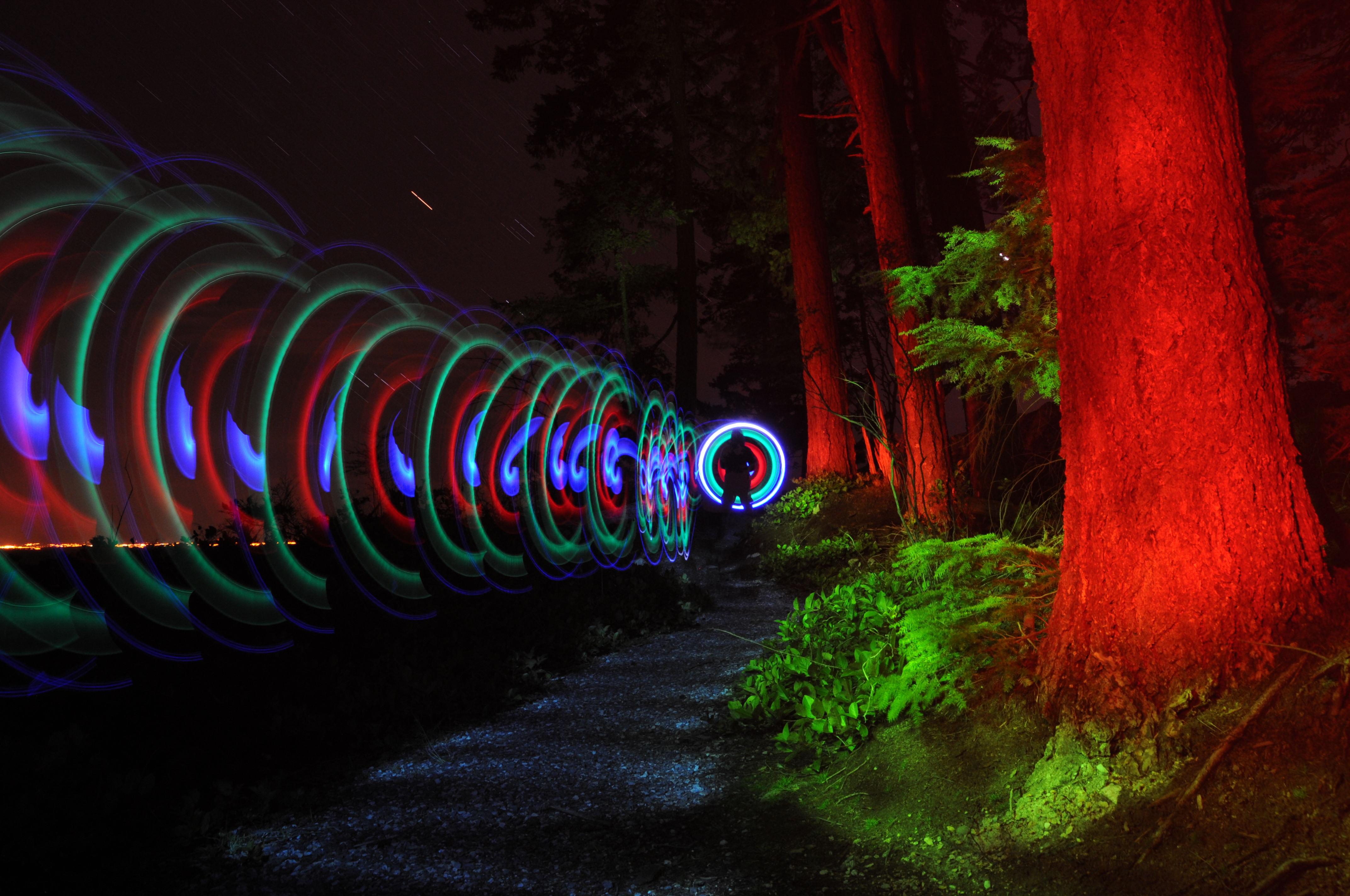
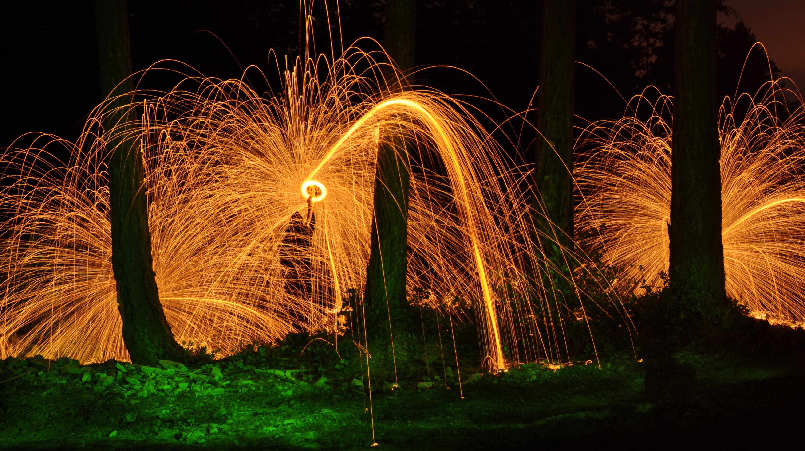
Spiral thing
I love this view!
Technicolor – Treasure Island

Morning View
Bay of Blue
In da forest
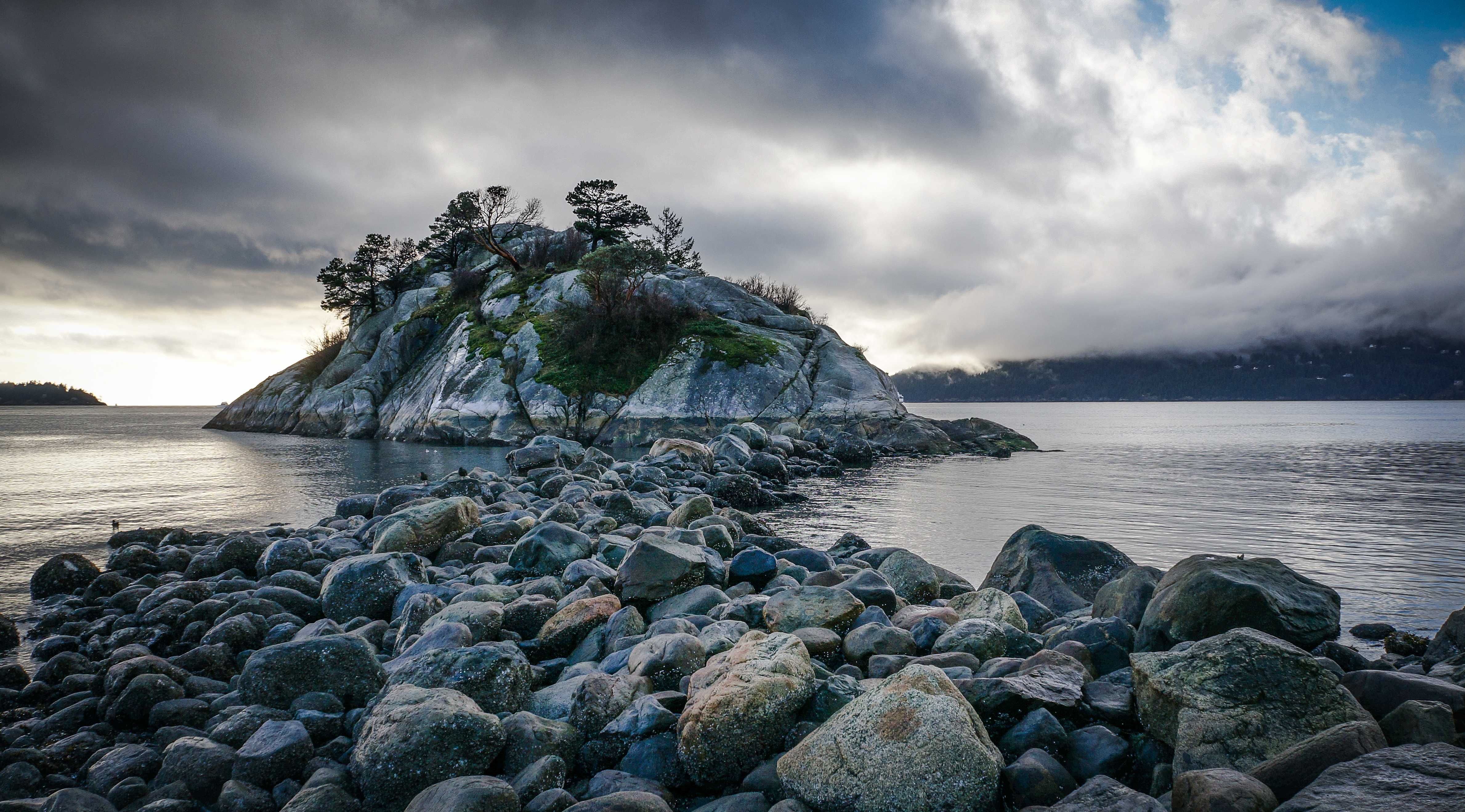
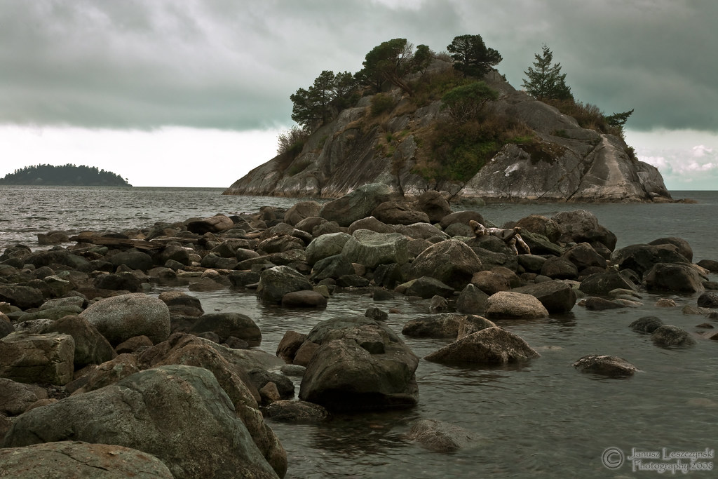
Whytecliff Park 1
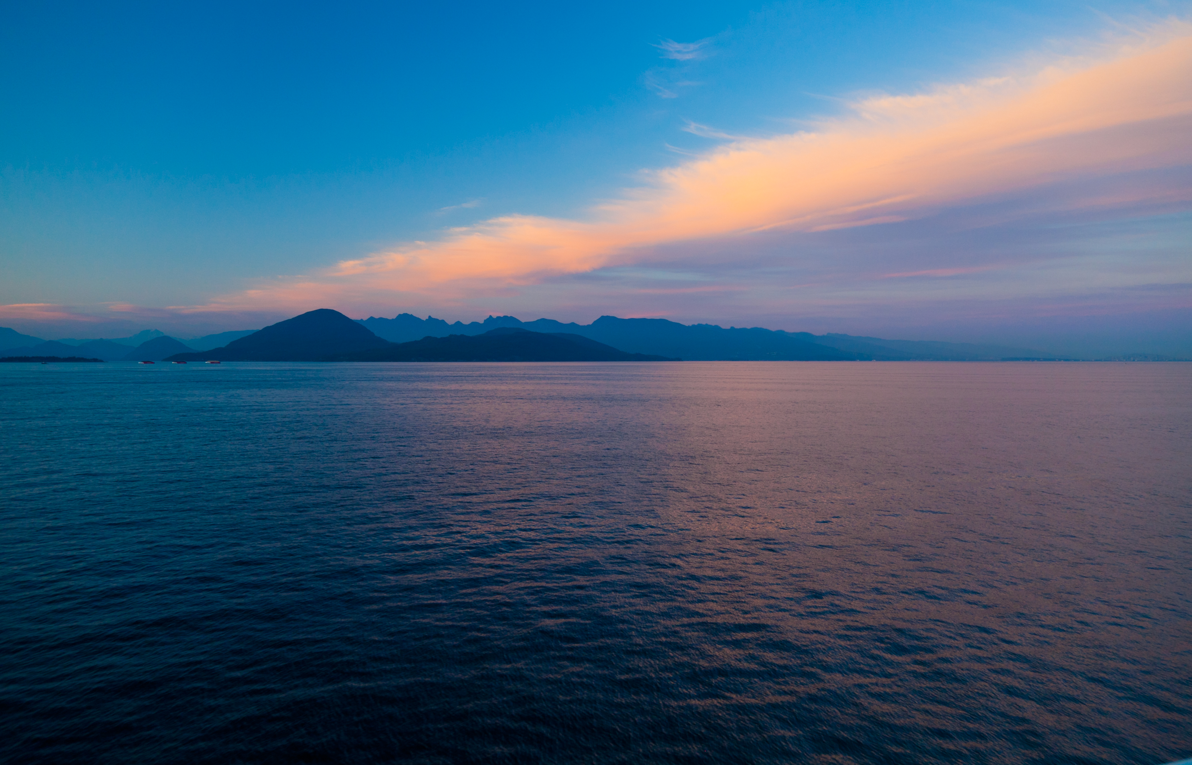
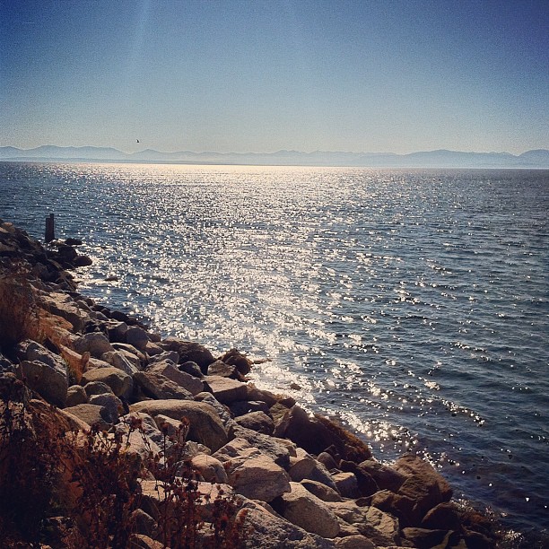
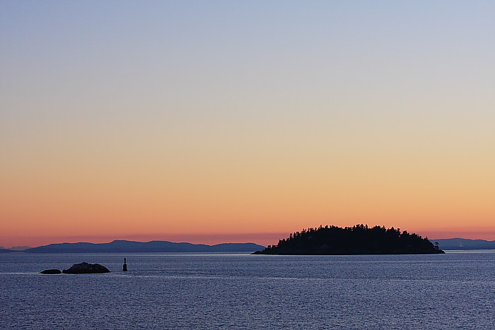
Georgia Strait at dawn
North Shore Mountains; late afternoon in December

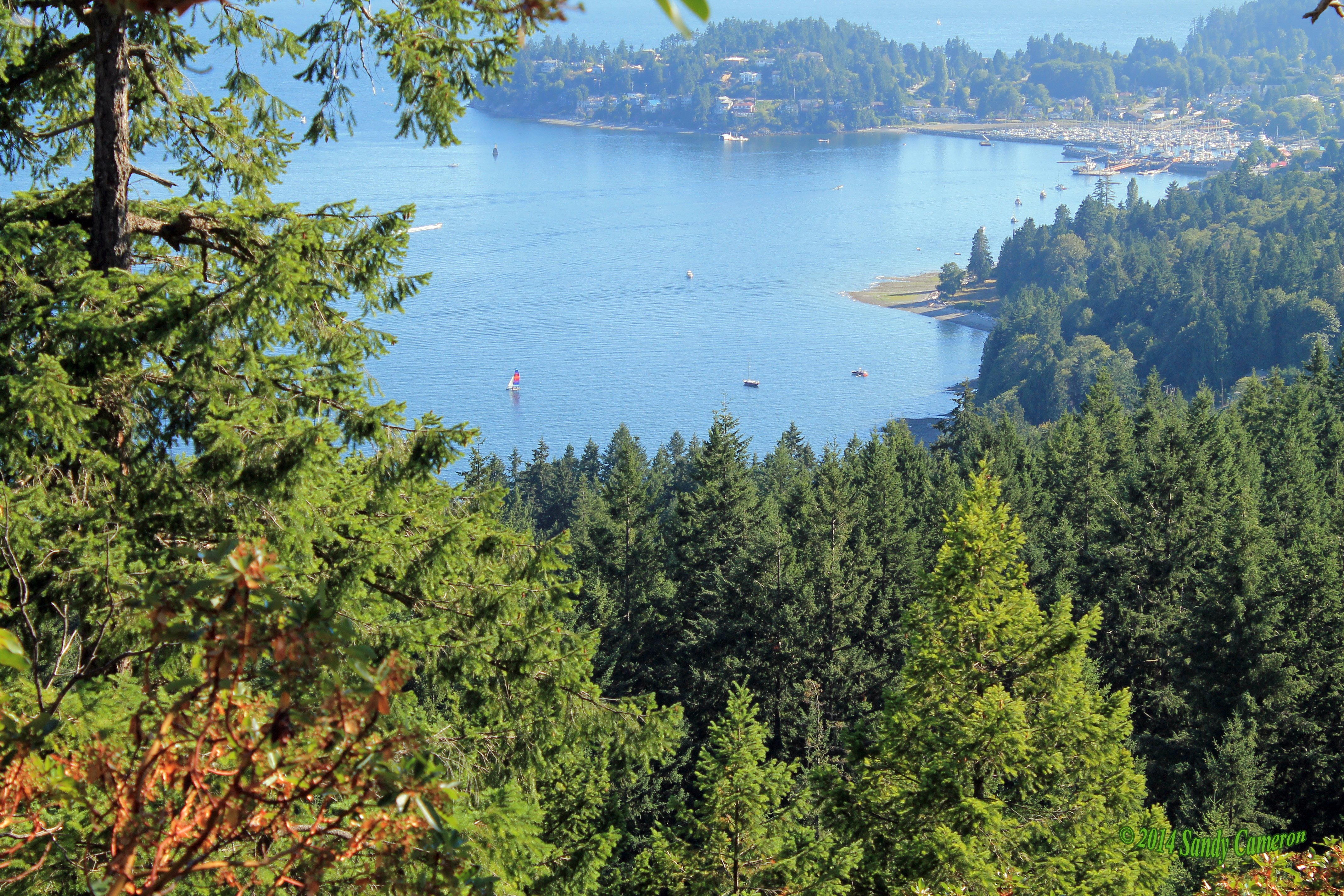
North Shore Mountains from Deep Bay

Across Killarney Lake
Clouds on the mountains, New Years Eve 2012
Crayola sunset
Navigation by starlight
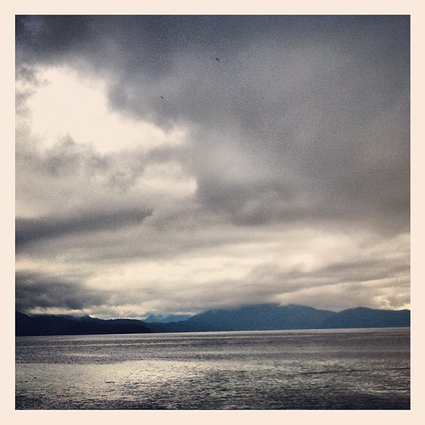
Dark clouds , dark days , dark

Kilarney Lake: distant fog
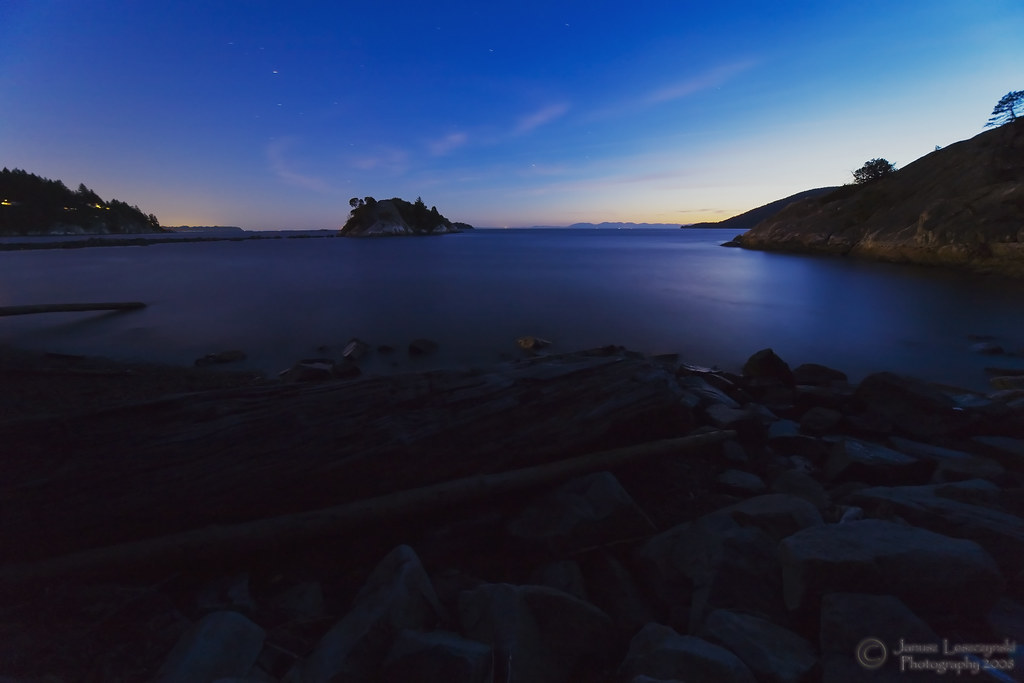
Sunset at Whytecliff Pt
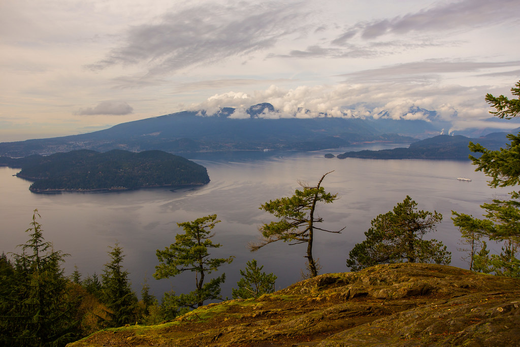
Great view from here (550 m)
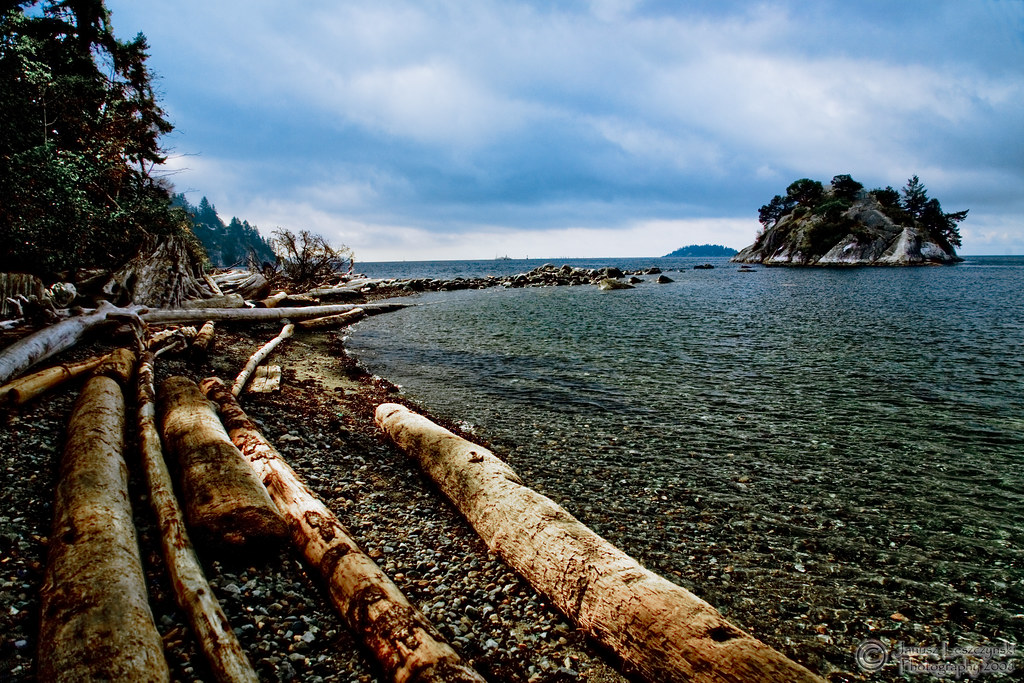
Islands-Vancouver
Topographic Map of Goodwin Rd, Gibsons, BC V0N 1V1, Canada
Find elevation by address:

Places near Goodwin Rd, Gibsons, BC V0N 1V1, Canada:
626 Reed Rd
646 Reed Rd
646 Reed Rd
Soames Road
549 Abbs Rd
Reed Road
O'shea Road
1794 N Rd
Gibsons
Hopkins Landing
1028 Sunshine Coast Hwy
Gerussi Lane
765 Gerussi Ln
1563 Langdale Rd
802 Henry Rd
Sunshine Coast E
1552 Burton Rd
455 Harry Rd
98 Esplanade Rd, Bowen Island, BC V0N 1G2, Canada
2222 Pixton Rd
Recent Searches:
- Elevation of Falling Spring Rd, Clyde, NC, USA
- Elevation of Kingsfield St, Castle Rock, CO, USA
- Elevation of AMELIA CT HSE, VA, USA
- Elevation of Abbey Dr, Virginia Beach, VA, USA
- Elevation of Brooks Lp, Spearfish, SD, USA
- Elevation of Panther Dr, Maggie Valley, NC, USA
- Elevation of Jais St - Wadi Shehah - Ras al Khaimah - United Arab Emirates
- Elevation of Shawnee Avenue, Shawnee Ave, Easton, PA, USA
- Elevation of Scenic Shore Dr, Kingwood Area, TX, USA
- Elevation of W Prive Cir, Delray Beach, FL, USA