Elevation of Hopkins Landing, BC V0N 1V1, Canada
Location: Canada > British Columbia > Sunshine Coast > Sunshine Coast F >
Longitude: -123.48021
Latitude: 49.429255
Elevation: 33m / 108feet
Barometric Pressure: 101KPa
Elevation Map:
Satellite Map:
Related Photos:
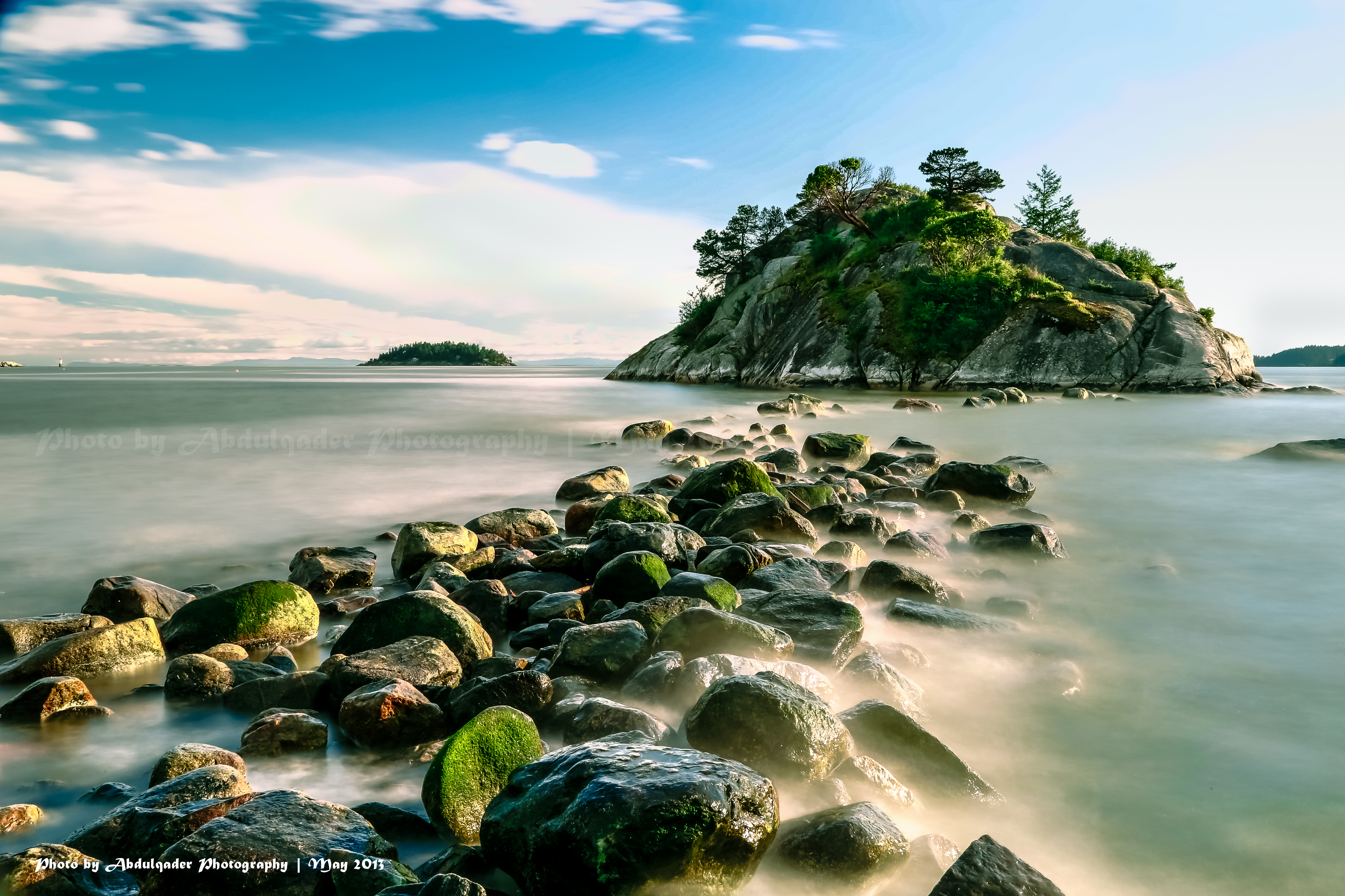
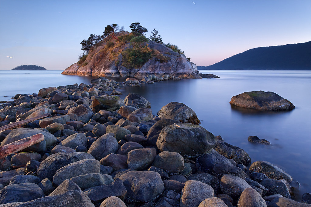
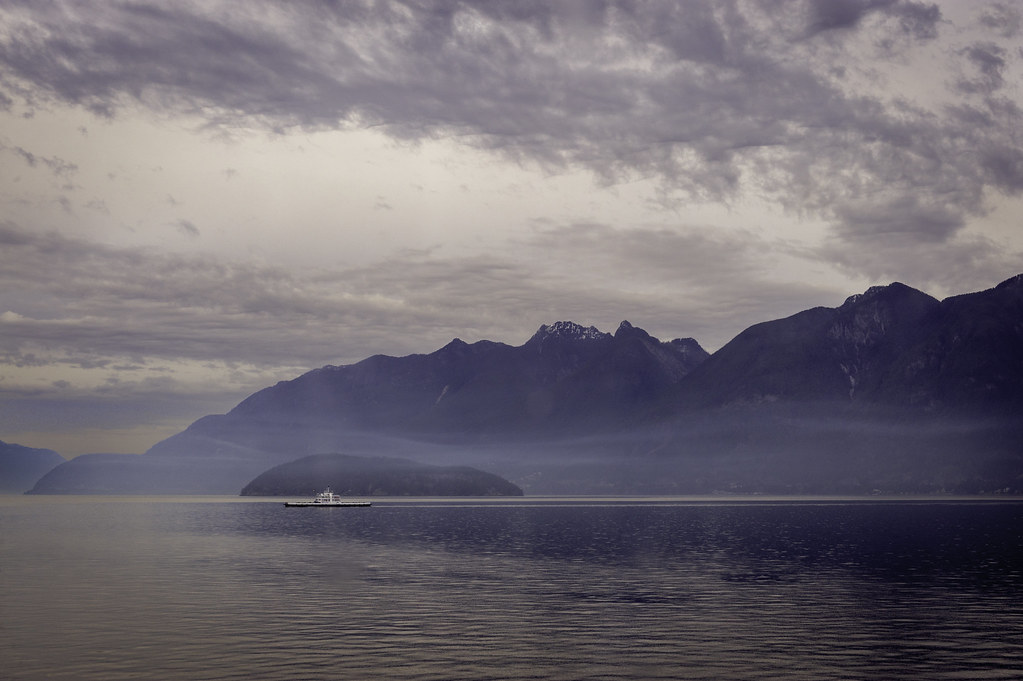
Beautiful View from Whytecliff Park in West Vancouver

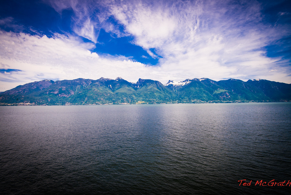
Vancouver and Mount Baker Volcano
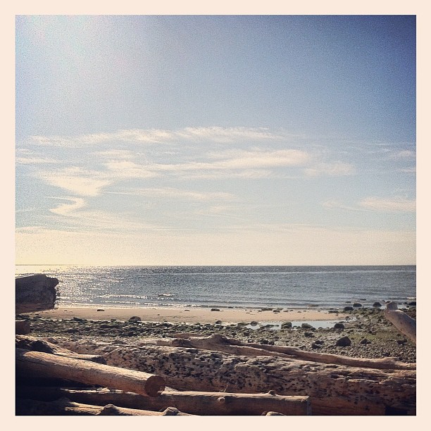
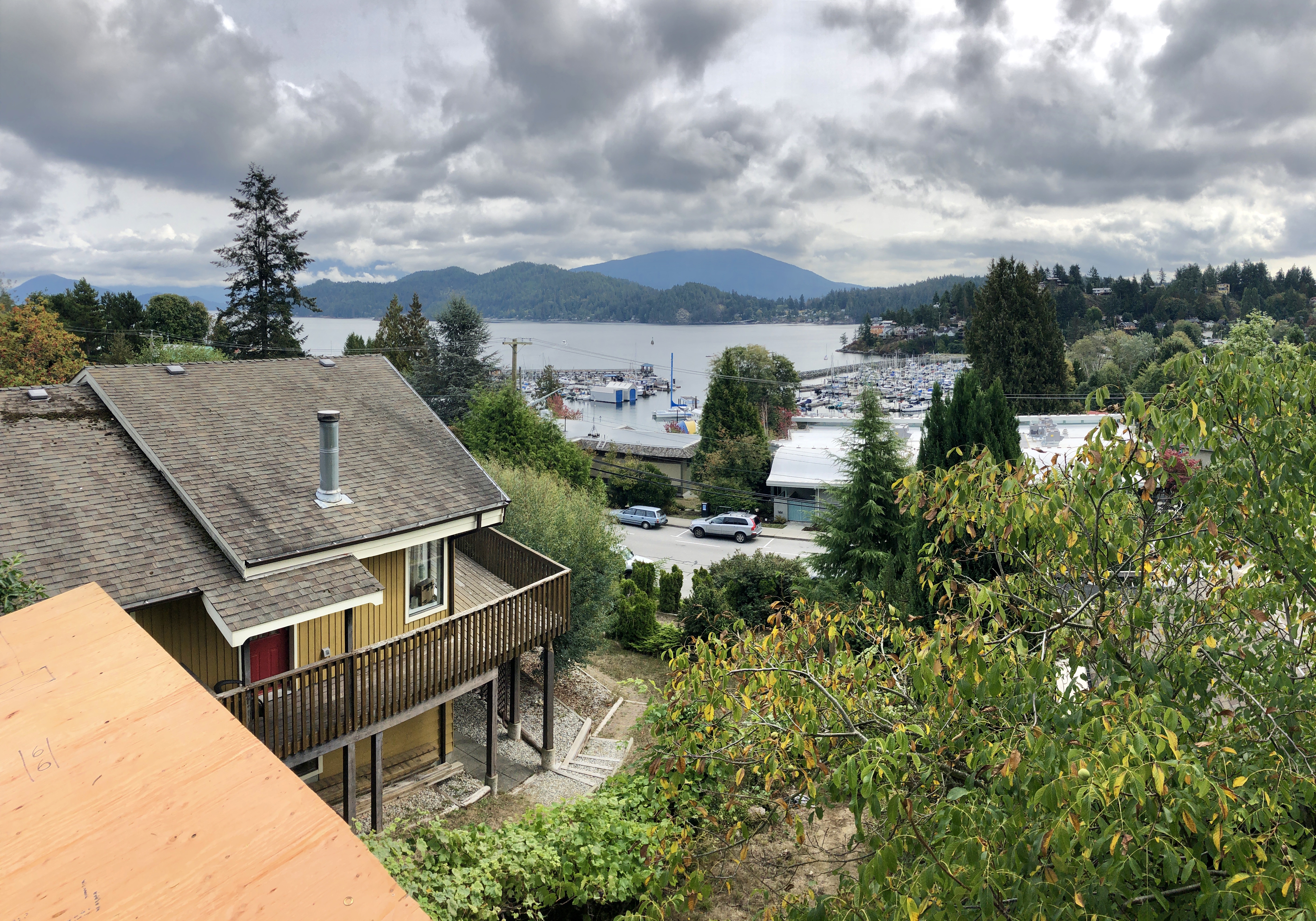
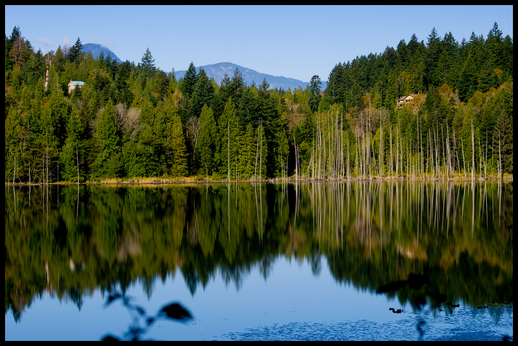
Morning View
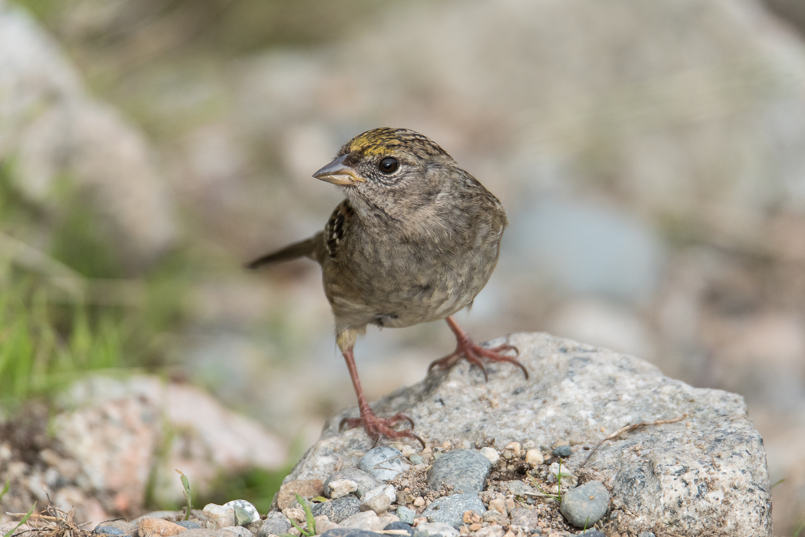
Golden-crowned sparrow

Great Blue Heron

Morning View
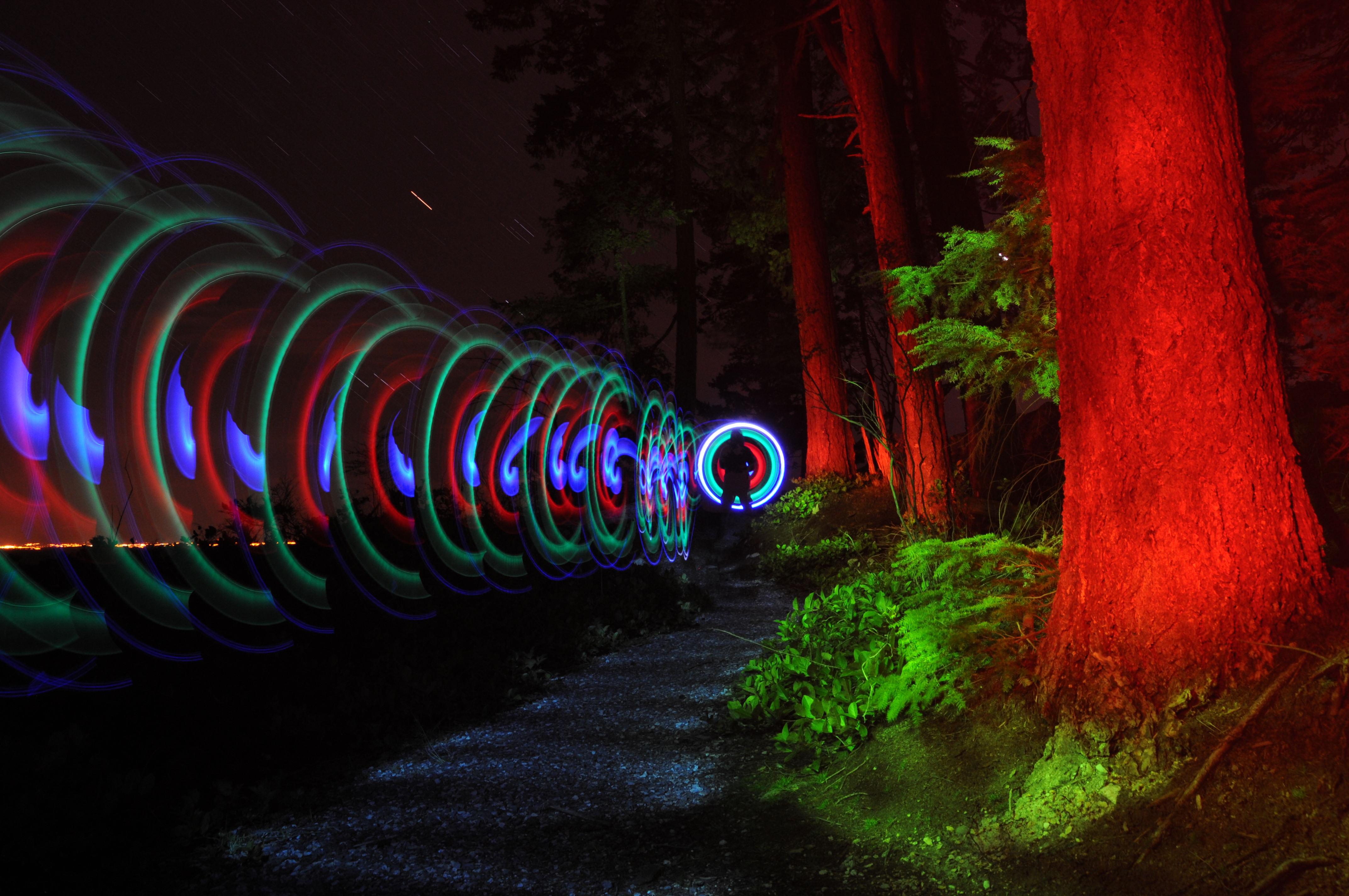
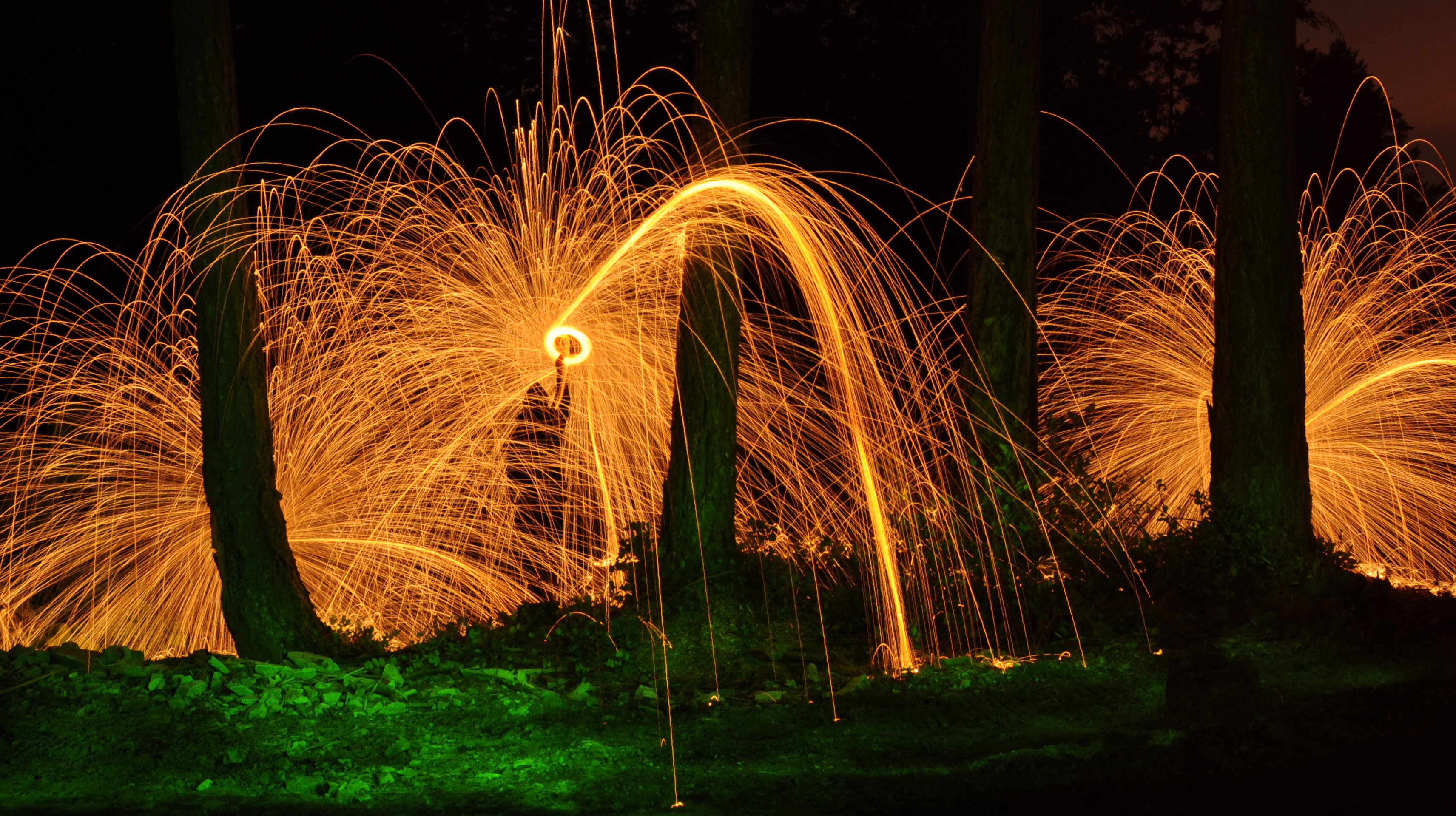
Spiral thing

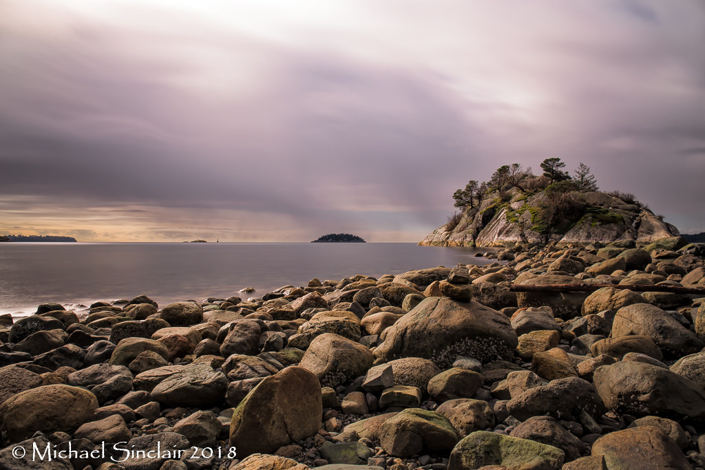
Rain Clouds over lighthouse, Bowen Island, British Columbia, Canada

Vancouver and Mount Baker Volcano
Gambier - 16 Jun 2013-34

I love this view!
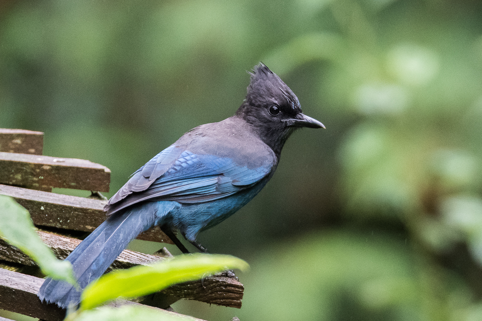
Steller's jay

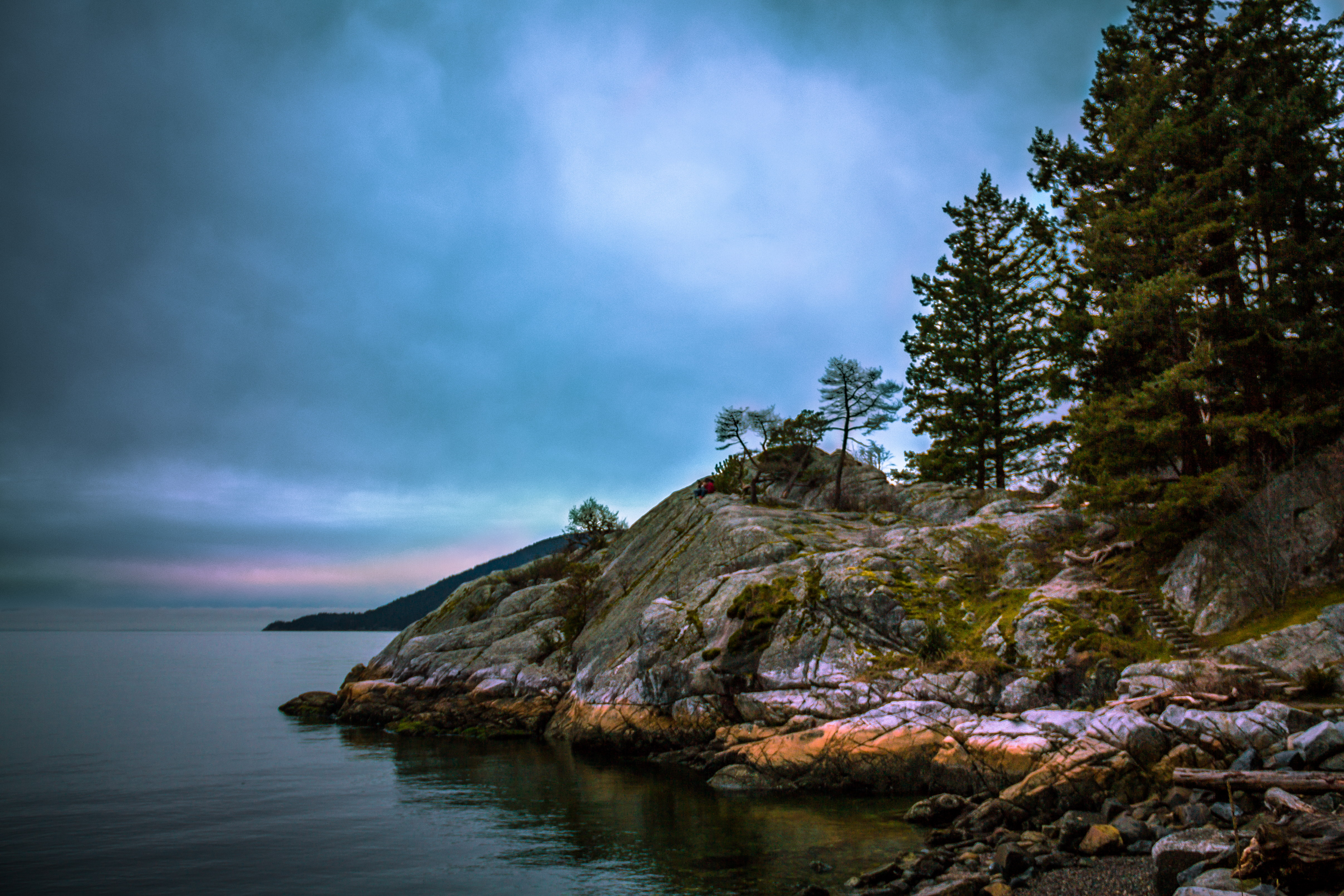
Whytecliff Park Sunset & Silhouettes
RippleHouse(CLT)-Phase3-ReapplyWood-FPInnovations
In da forest

Today's View
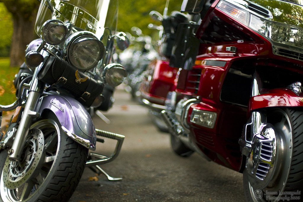
Langley Roadriders
Killarney Lake, Bowen Island

Enjoying the View

Big Blue World

never get tired of the view....
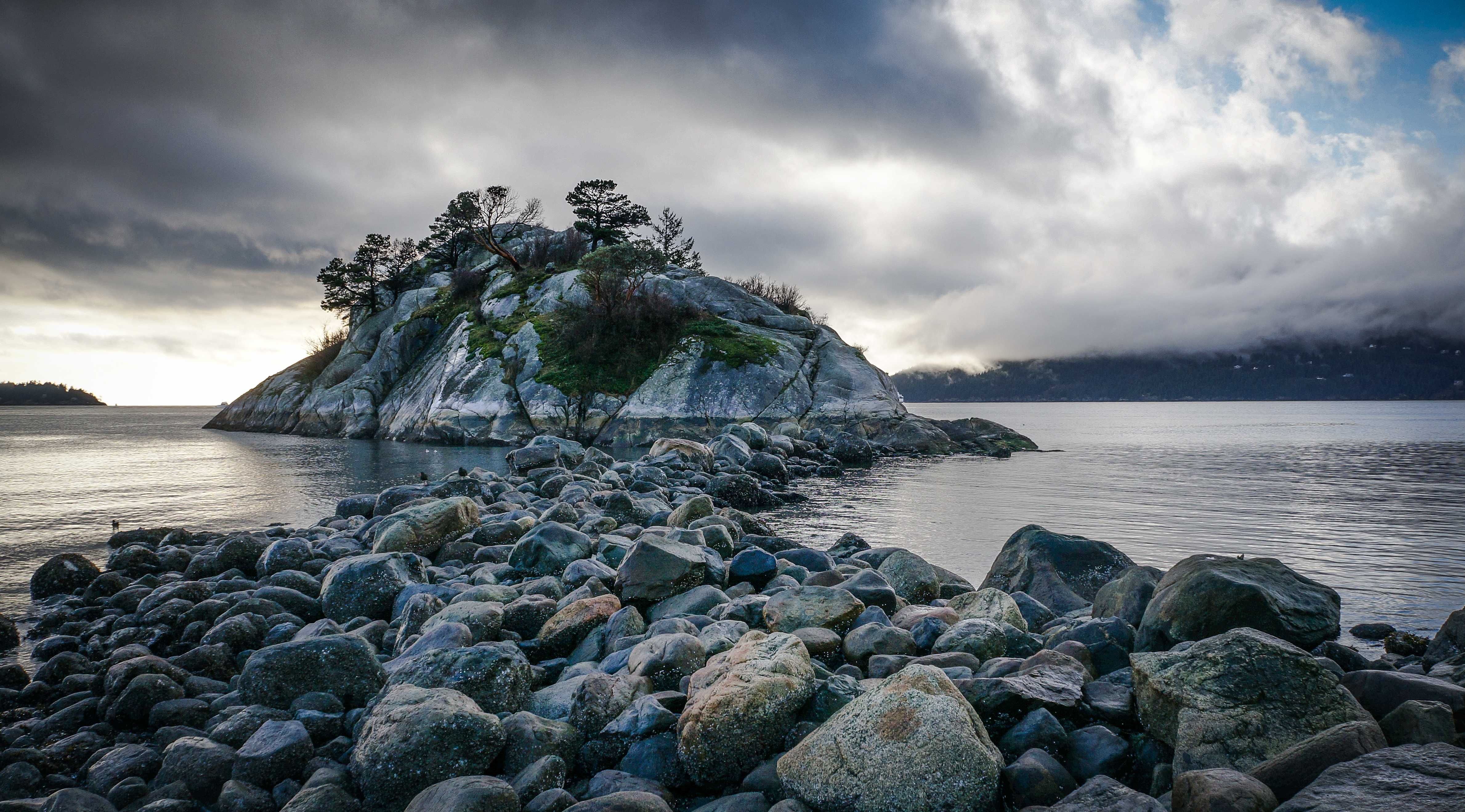
Whytecliff Park 1
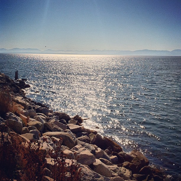
Canadian Coast
Whytecliff Islet Park at Night

The Long Way Home
I love this view!

The Long Way Home
Sunset, Bowen Island

Purple World
Whyte Islet Long Exposure 102277-102285

Horseshoe Bay, British Columbia

Whytecliff Park

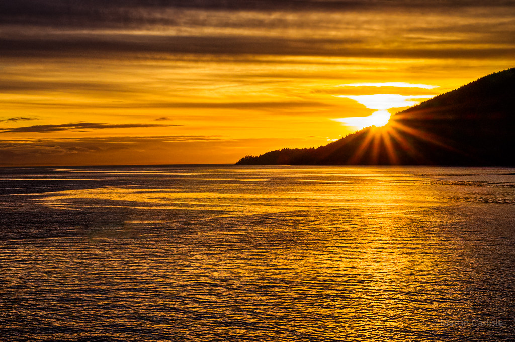
Whytecliff Sunset
Tranquility III
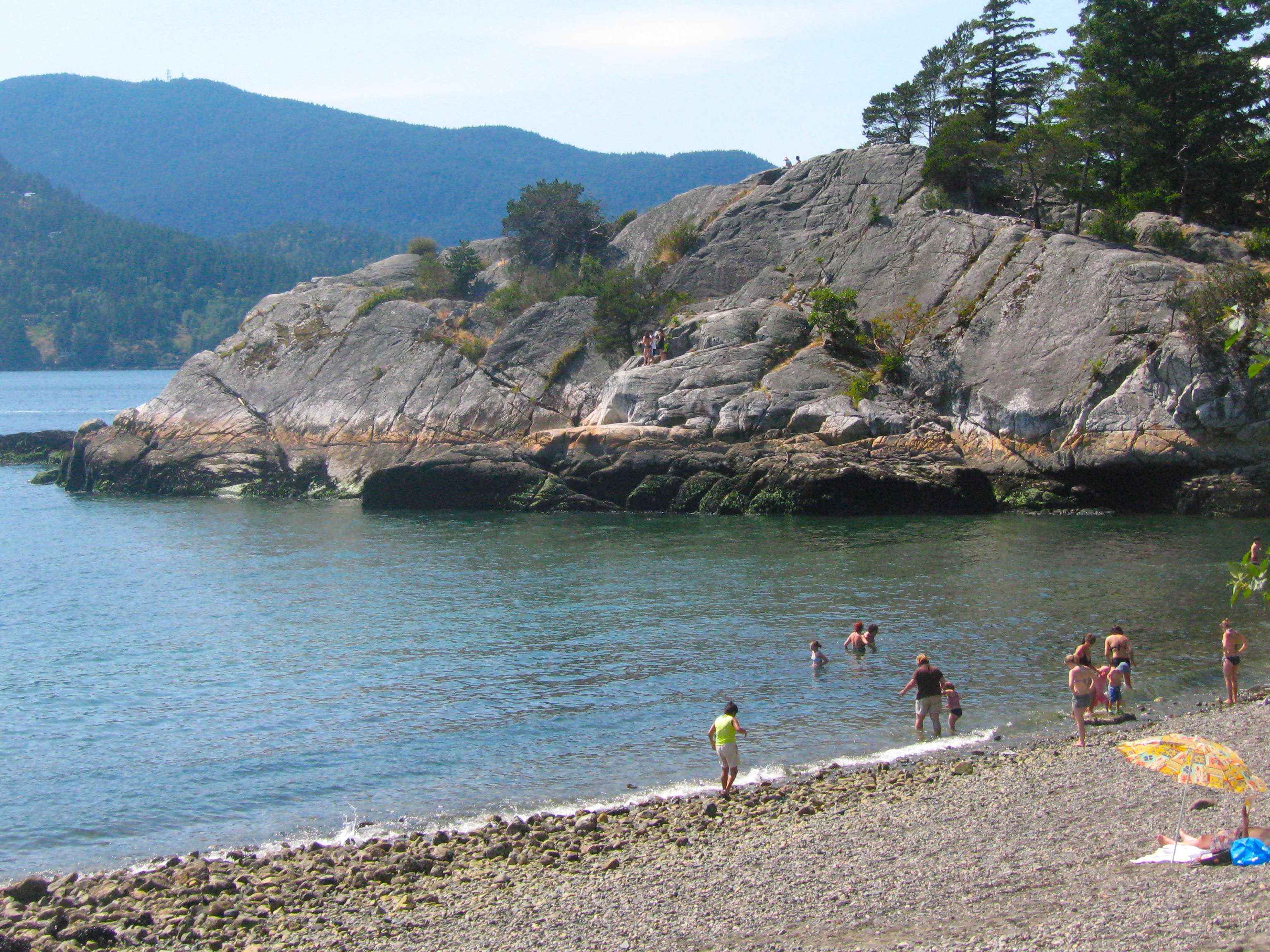
not a Greek island !
Topographic Map of Hopkins Landing, BC V0N 1V1, Canada
Find elevation by address:

Places near Hopkins Landing, BC V0N 1V1, Canada:
1794 N Rd
1563 Langdale Rd
Soames Road
Goodwin Rd, Gibsons, BC V0N 1V1, Canada
626 Reed Rd
646 Reed Rd
646 Reed Rd
549 Abbs Rd
Reed Road
O'shea Road
Gibsons
1028 Sunshine Coast Hwy
Gerussi Lane
765 Gerussi Ln
98 Esplanade Rd, Bowen Island, BC V0N 1G2, Canada
802 Henry Rd
Sunshine Coast E
Taki-te-si Road
1552 Burton Rd
455 Harry Rd
Recent Searches:
- Elevation of Jalan Senandin, Lutong, Miri, Sarawak, Malaysia
- Elevation of Bilohirs'k
- Elevation of 30 Oak Lawn Dr, Barkhamsted, CT, USA
- Elevation of Luther Road, Luther Rd, Auburn, CA, USA
- Elevation of Unnamed Road, Respublika Severnaya Osetiya — Alaniya, Russia
- Elevation of Verkhny Fiagdon, North Ossetia–Alania Republic, Russia
- Elevation of F. Viola Hiway, San Rafael, Bulacan, Philippines
- Elevation of Herbage Dr, Gulfport, MS, USA
- Elevation of Lilac Cir, Haldimand, ON N3W 2G9, Canada
- Elevation of Harrod Branch Road, Harrod Branch Rd, Kentucky, USA