Elevation of Goodman Rd, Temple, GA, USA
Location: United States > Georgia > Paulding County >
Longitude: -85.024259
Latitude: 33.826073
Elevation: 382m / 1253feet
Barometric Pressure: 97KPa
Elevation Map:
Satellite Map:
Related Photos:

Winter Clouds

Last Call Before Lights Out
View to the pasture

View thru a broken window

Blue Jay eating
Highway Sunset

Blue Heron fishing

Mirror Lake (Villa Rica, Georgia)

Drab Female House Finch

Grist Mill
on a walk

House Finch

Bailing hay

Busy time at the farm
The Frog Golf Course, Villa Rica, GA

DSC00541-True Blue Evening
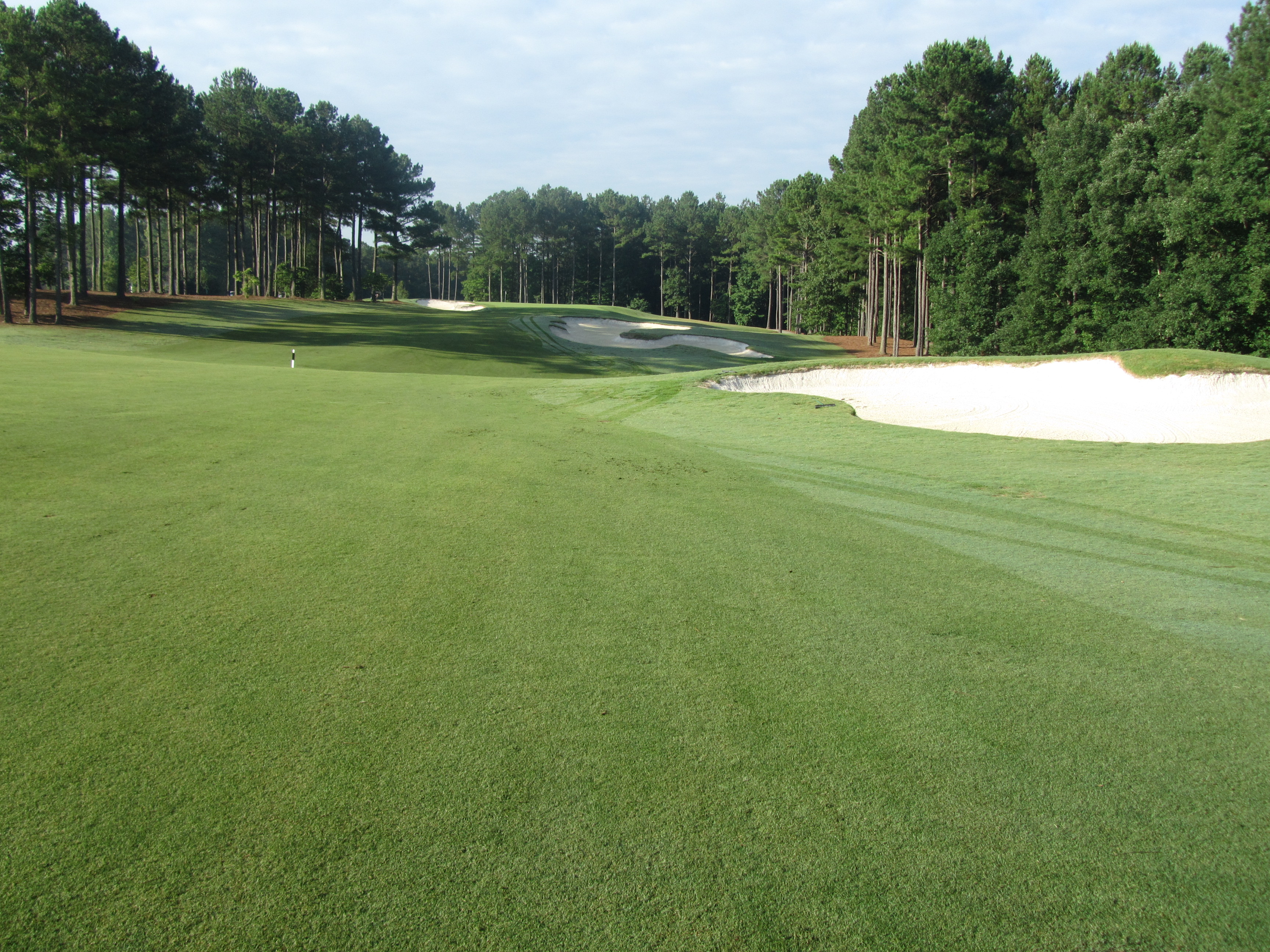
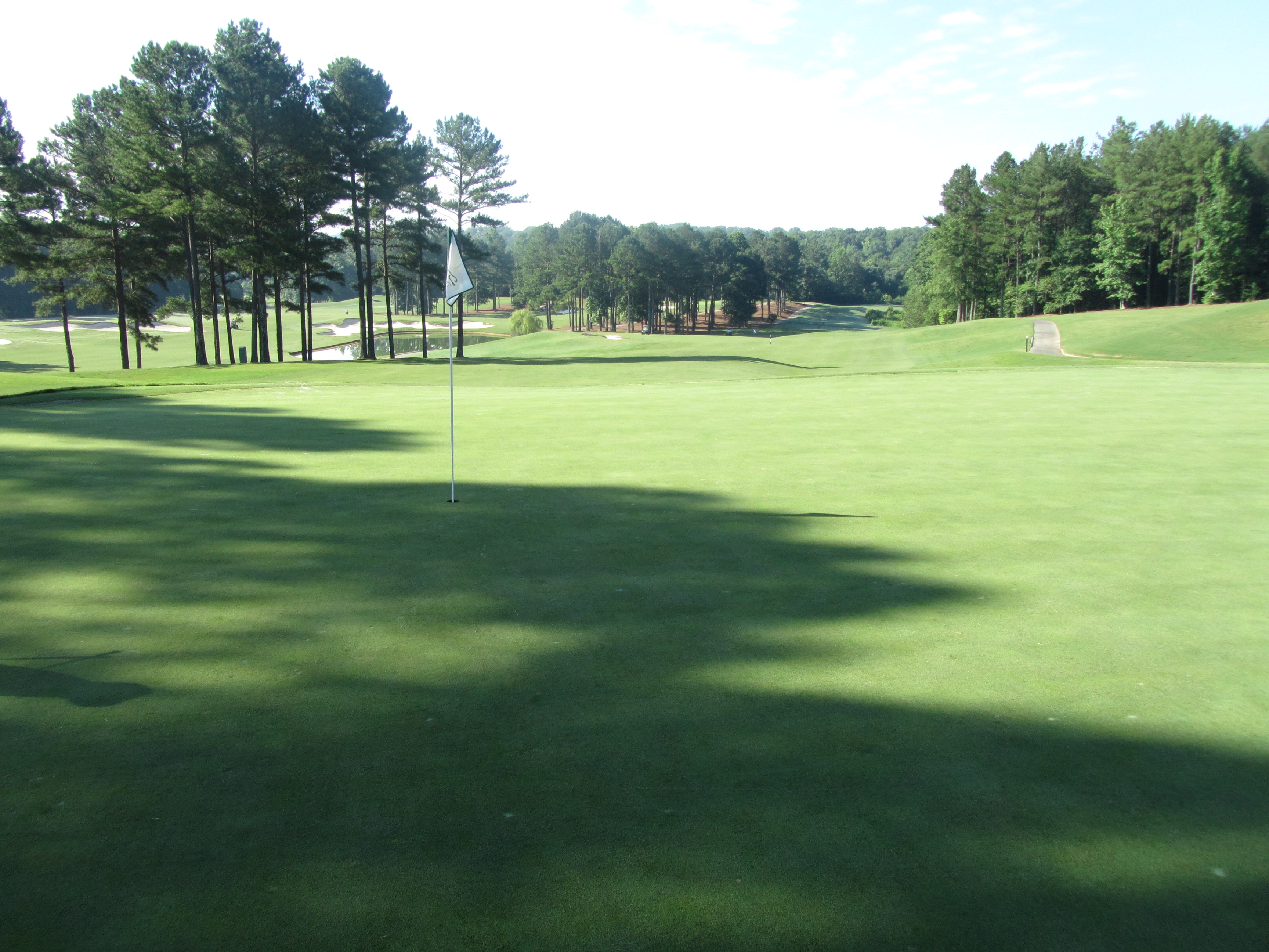
The Frog Golf Course, Villa Rica, Georgia
The Frog Golf Course, Villa Rica, Georgia

CloudySunrise(JCP)

Choose Your Path
it is still a beautiful world
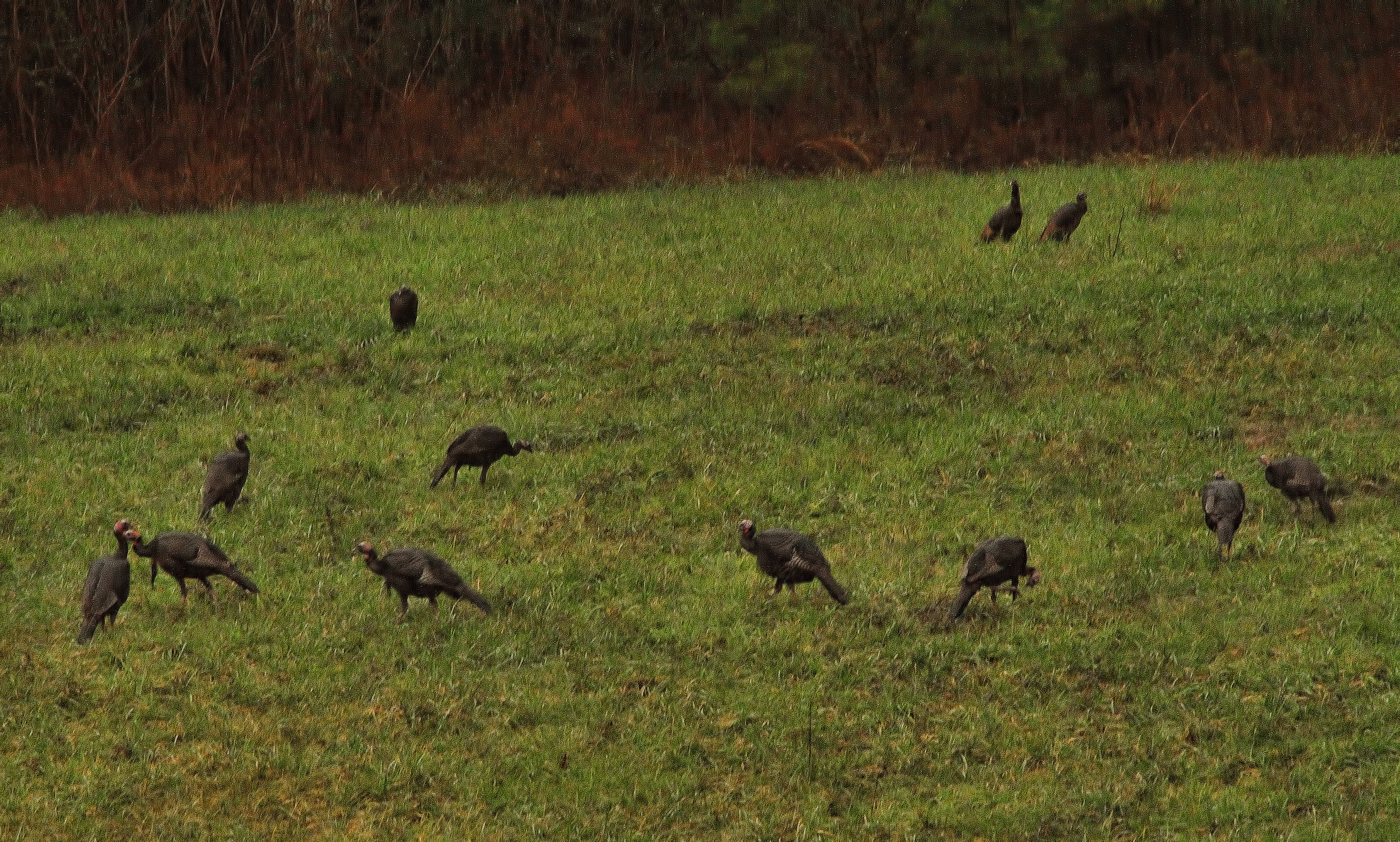
Wild Turkeys in my backyard.
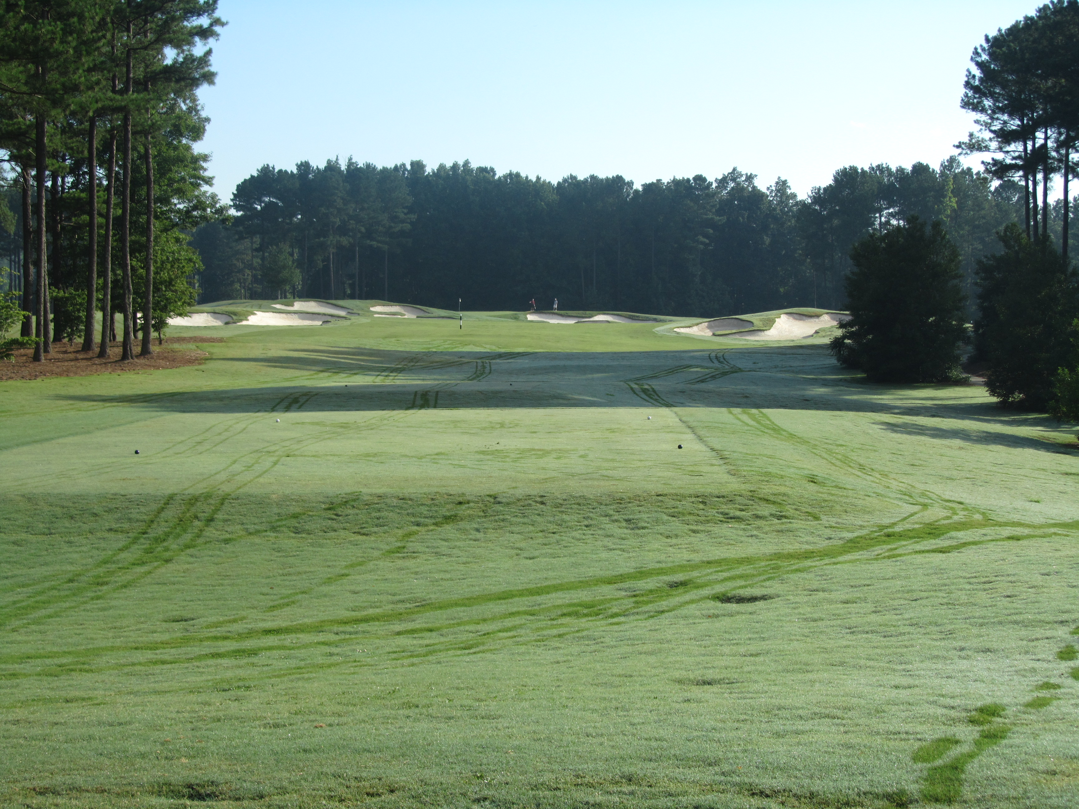
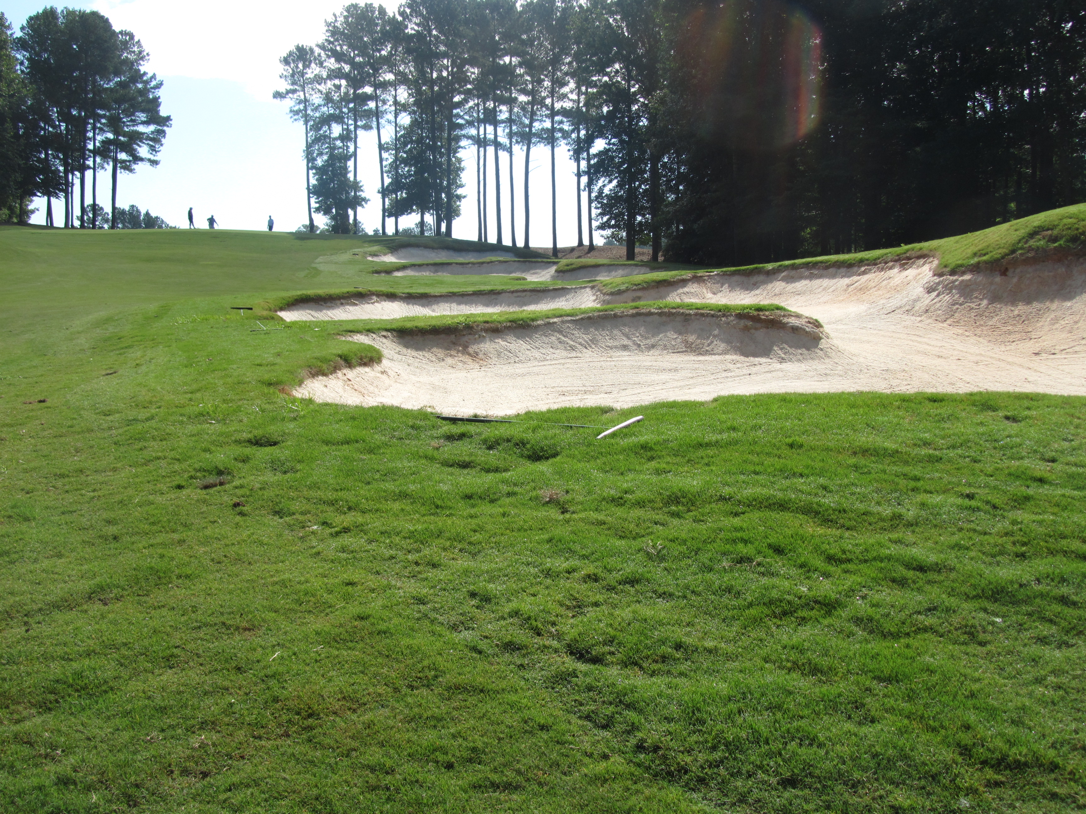
The Frog Golf Course, Villa Rica, GA

Grass and Seed
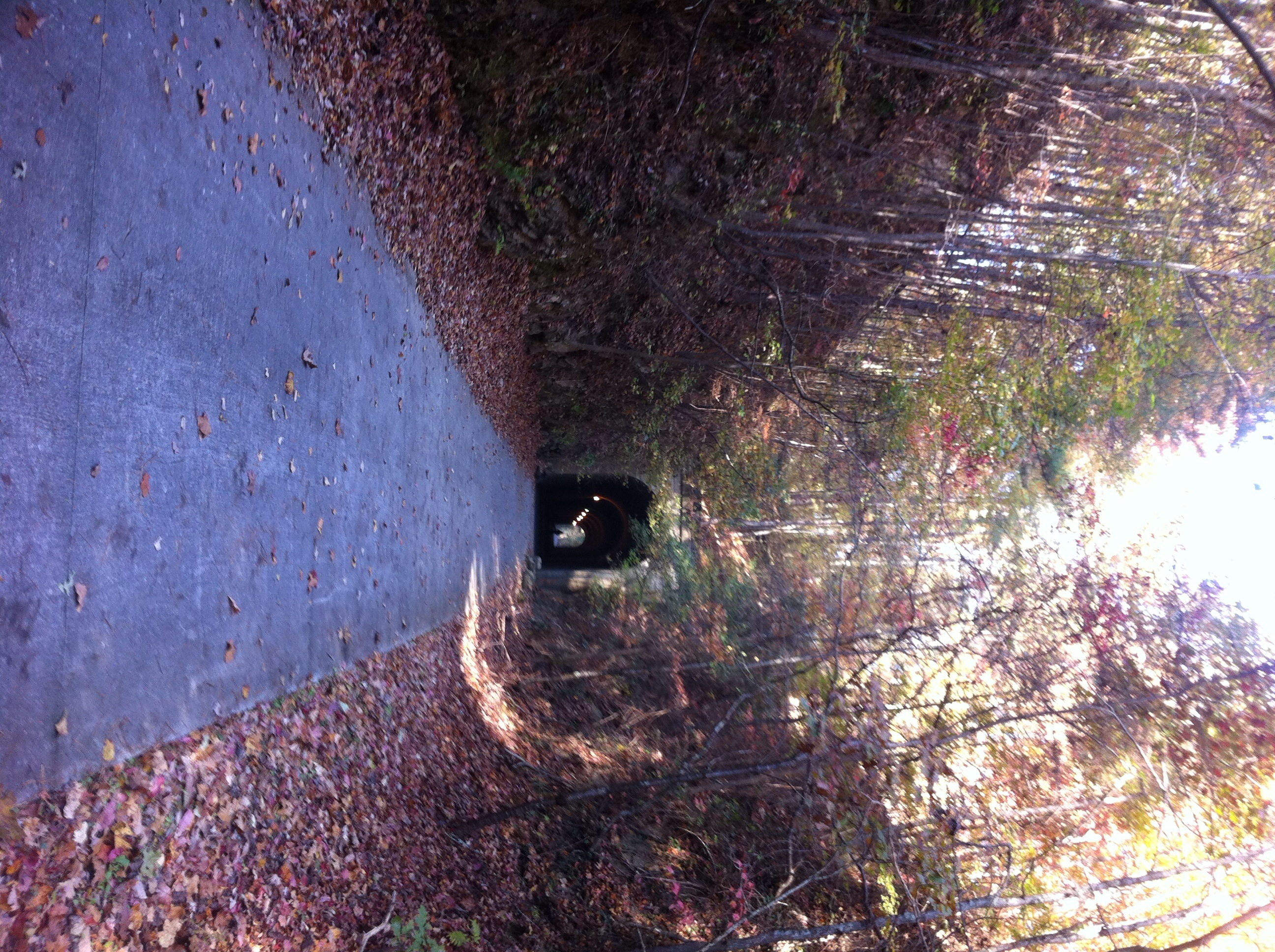
The Tunnel
The Frog Golf at Georgian Resort
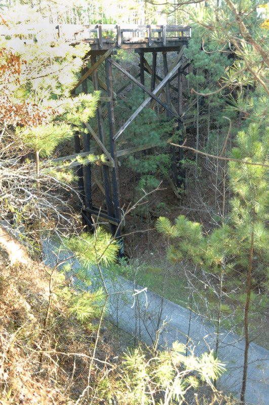
Willow Springs Bridge over the Silver Comet Trail
Topographic Map of Goodman Rd, Temple, GA, USA
Find elevation by address:

Places near Goodman Rd, Temple, GA, USA:
2040 Honeysuckle Ln
216 Courthouse Rd
1033 Ga-101
1214 Asbury Rd
101 Overton Path
GA-, Rockmart, GA, USA
160 Detweiler Rd
181 Country Side Path
85 Tolbert Rd
362 White Creek Loop
332 Wesley Mill Pl
345 Brown Rd
49 Augustine Ct
Mulberry Rock Rd, Dallas, GA, USA
3390 Mulberry Rock Rd
1507 Syble Dr
2223 Hulsey Town Rd
440 Townsend Rd
Buchanan Hwy, Dallas, GA, USA
36 Wolf Pen Path
Recent Searches:
- Elevation of Leguwa, Nepal
- Elevation of County Rd, Enterprise, AL, USA
- Elevation of Kolchuginsky District, Vladimir Oblast, Russia
- Elevation of Shustino, Vladimir Oblast, Russia
- Elevation of Lampiasi St, Sarasota, FL, USA
- Elevation of Elwyn Dr, Roanoke Rapids, NC, USA
- Elevation of Congressional Dr, Stevensville, MD, USA
- Elevation of Bellview Rd, McLean, VA, USA
- Elevation of Stage Island Rd, Chatham, MA, USA
- Elevation of Shibuya Scramble Crossing, 21 Udagawacho, Shibuya City, Tokyo -, Japan