Elevation of Wesley Mill Pl, Villa Rica, GA, USA
Location: United States > Georgia > Carroll County > Villa Rica >
Longitude: -84.961328
Latitude: 33.77708
Elevation: 357m / 1171feet
Barometric Pressure: 97KPa
Elevation Map:
Satellite Map:
Related Photos:
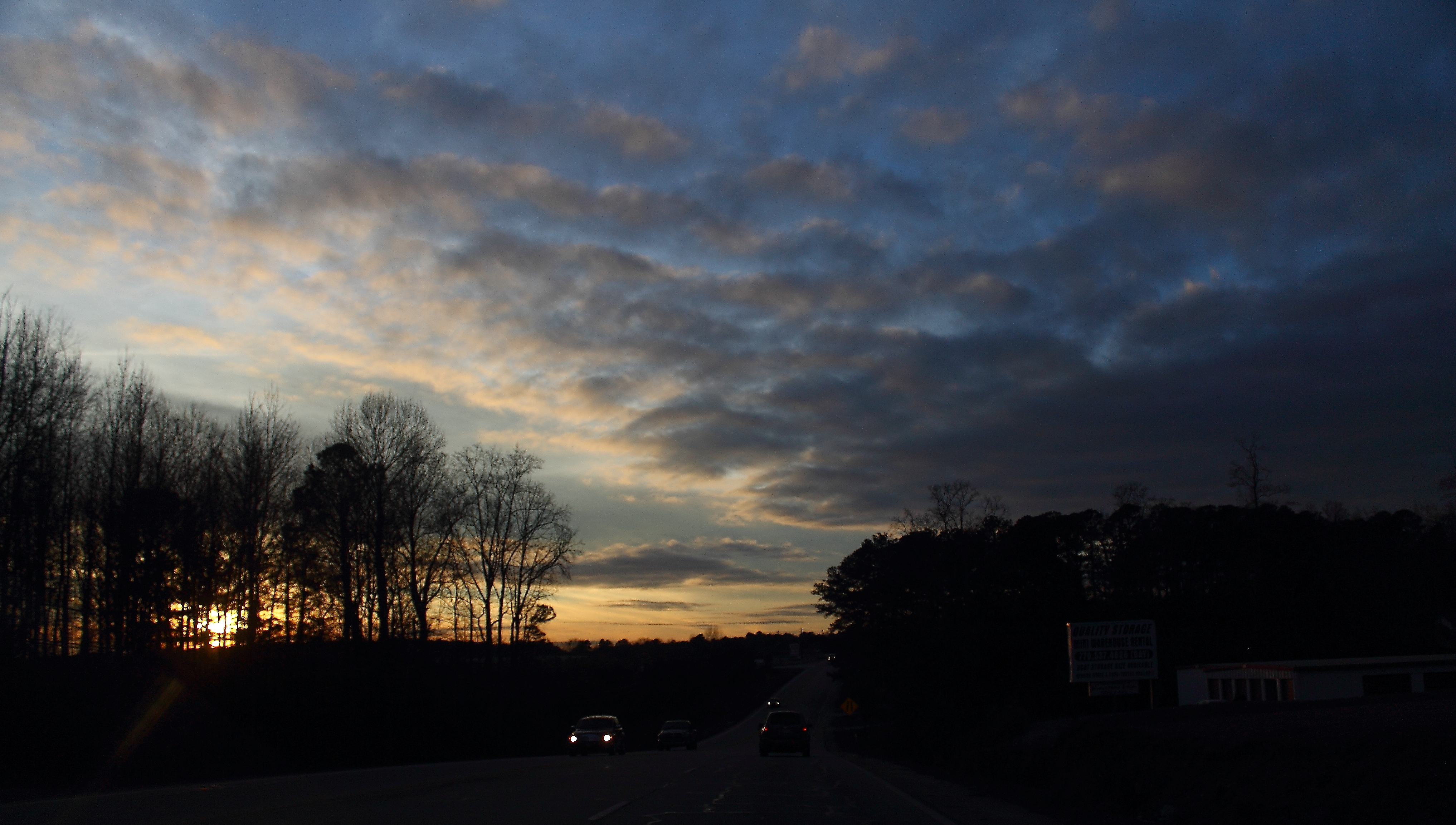
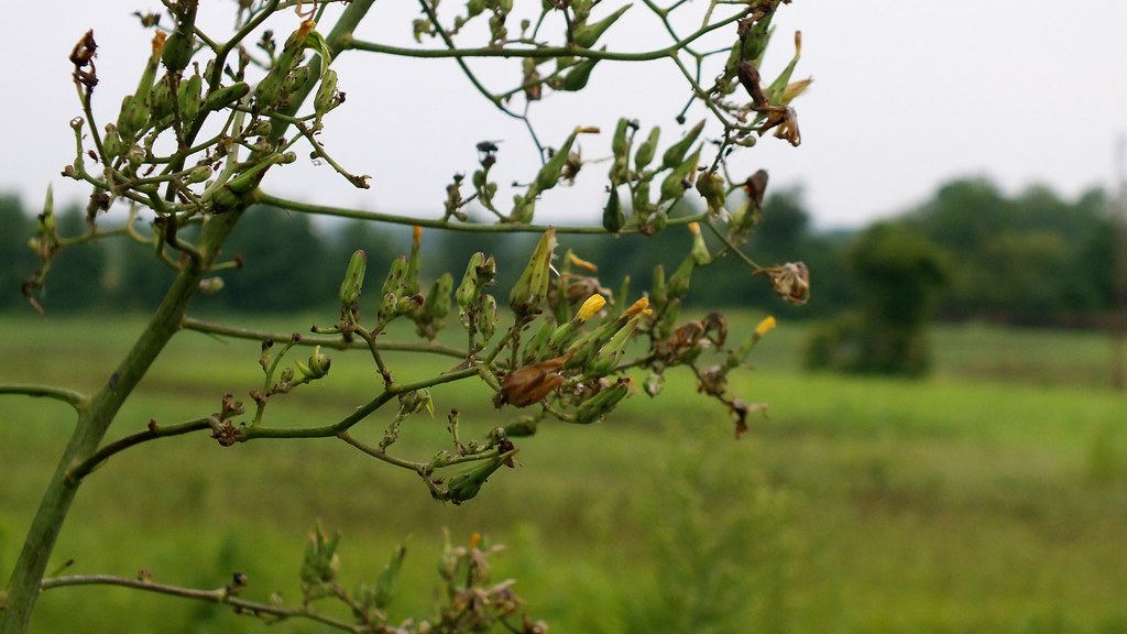
Highway Sunset

Blue Heron fishing

Blue Jay eating

Backyard view

Winter Clouds
Clinton#32_1RL4834

Clinton#40_1RL4849

Clinton#41_1RL4849
Clinton#32_1RL4836

Clinton#43_1RL4857

Clinton#33_1RL4836

Clinton#31_1RL4820

Clinton#30_1RL4820
Clinton#44_1RL4857
View to the pasture

Clinton#52_1RL4873
Clinton#53_1RL4873

Clinton#33_1RL4841
Clinton#34_1RL4841

Clinton#28_1RL4805
Clinton#28_1RL4805

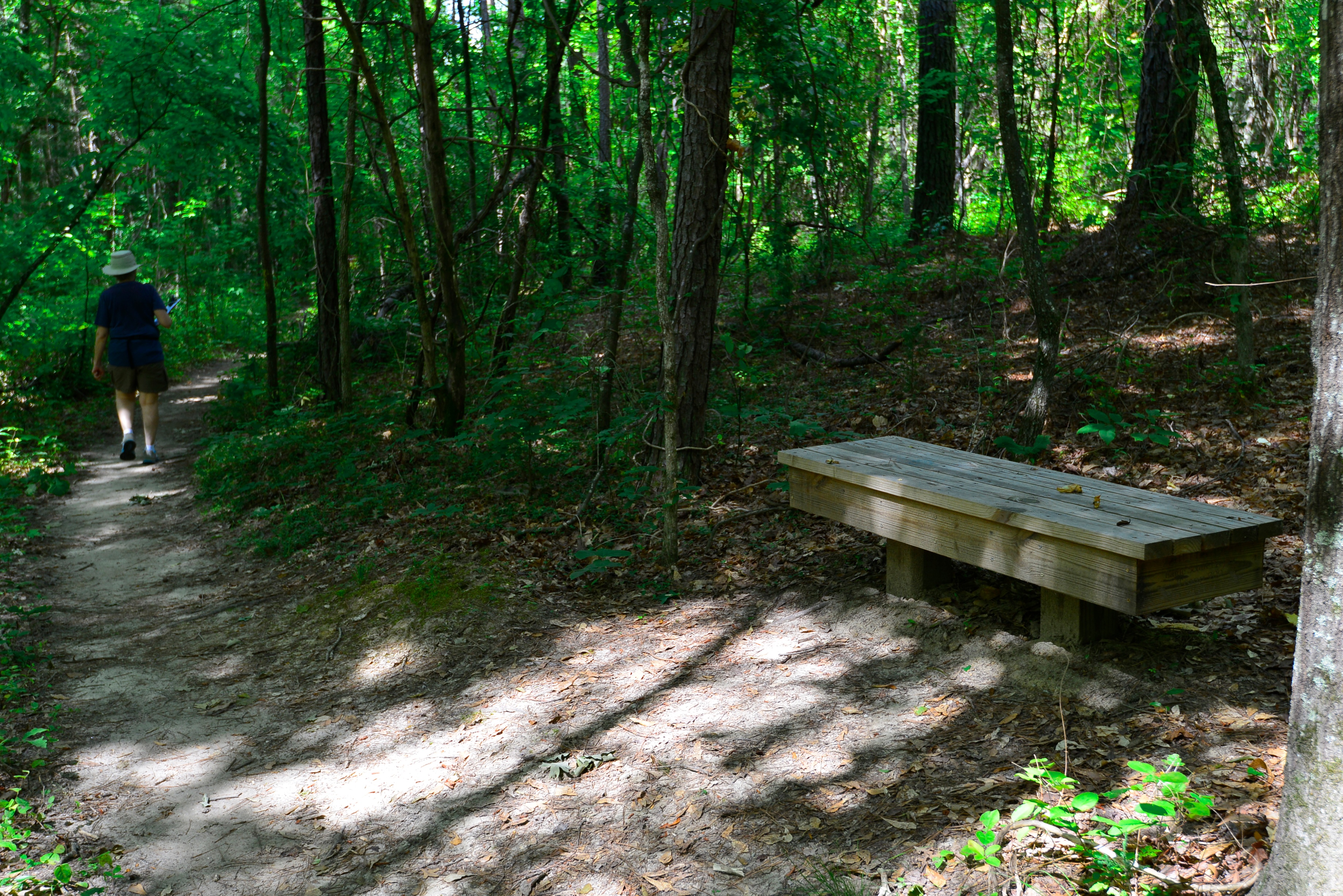
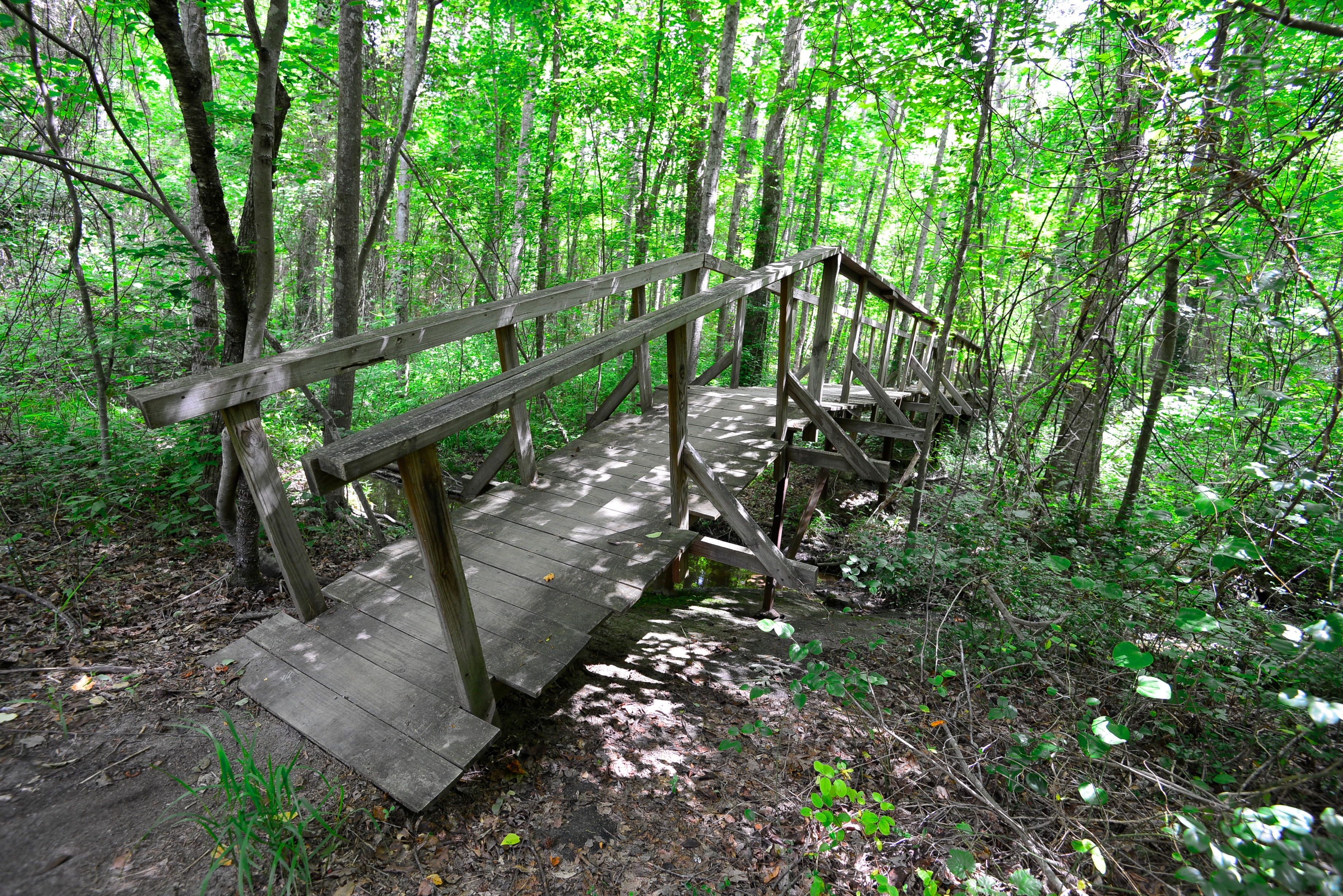
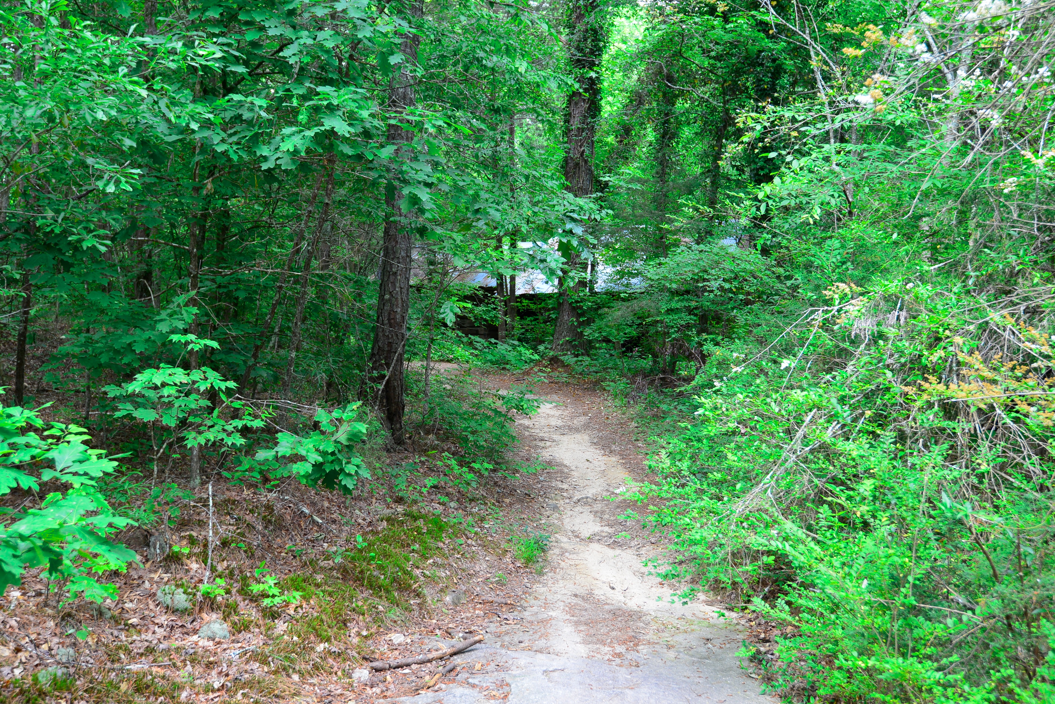
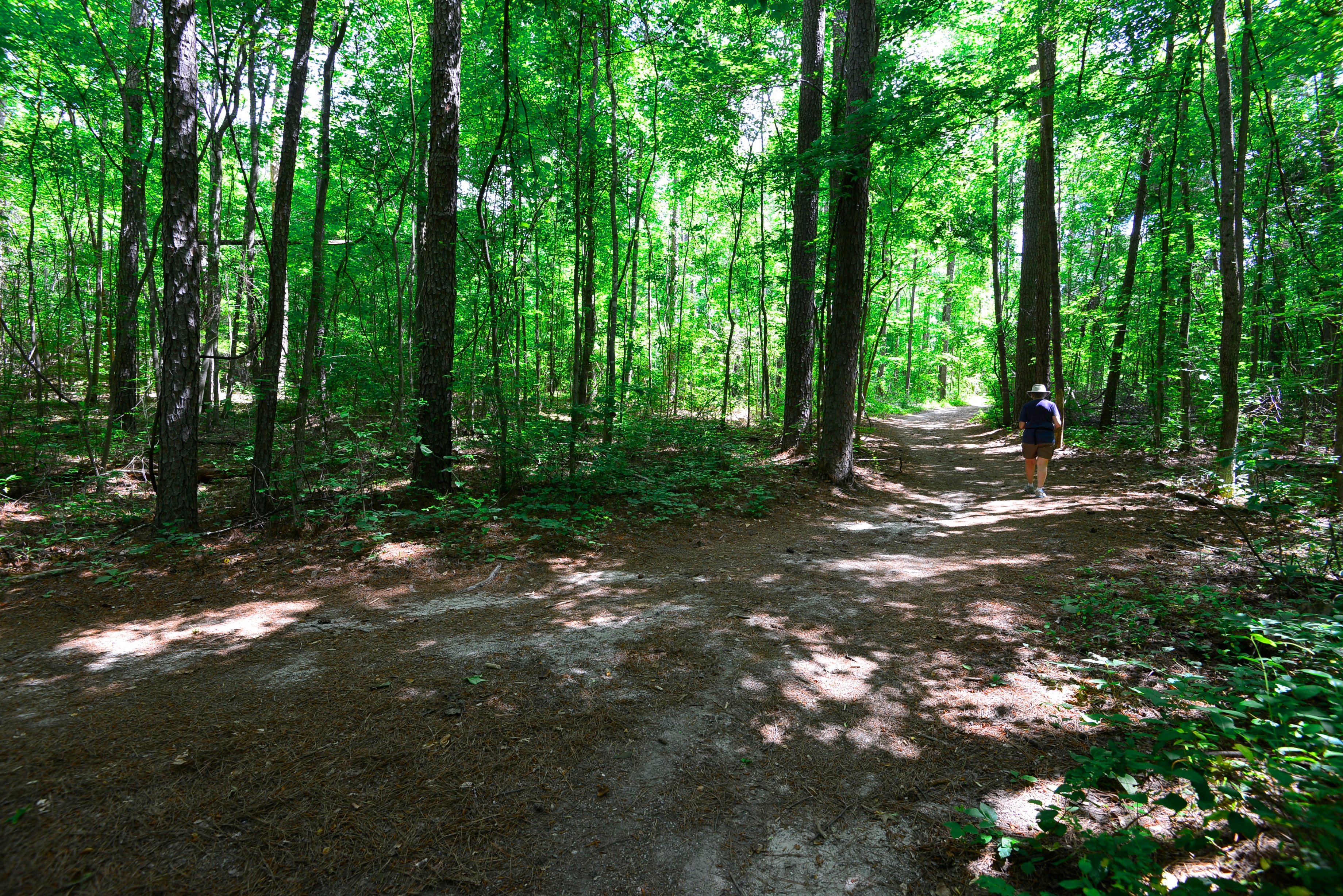
Choose Your Path

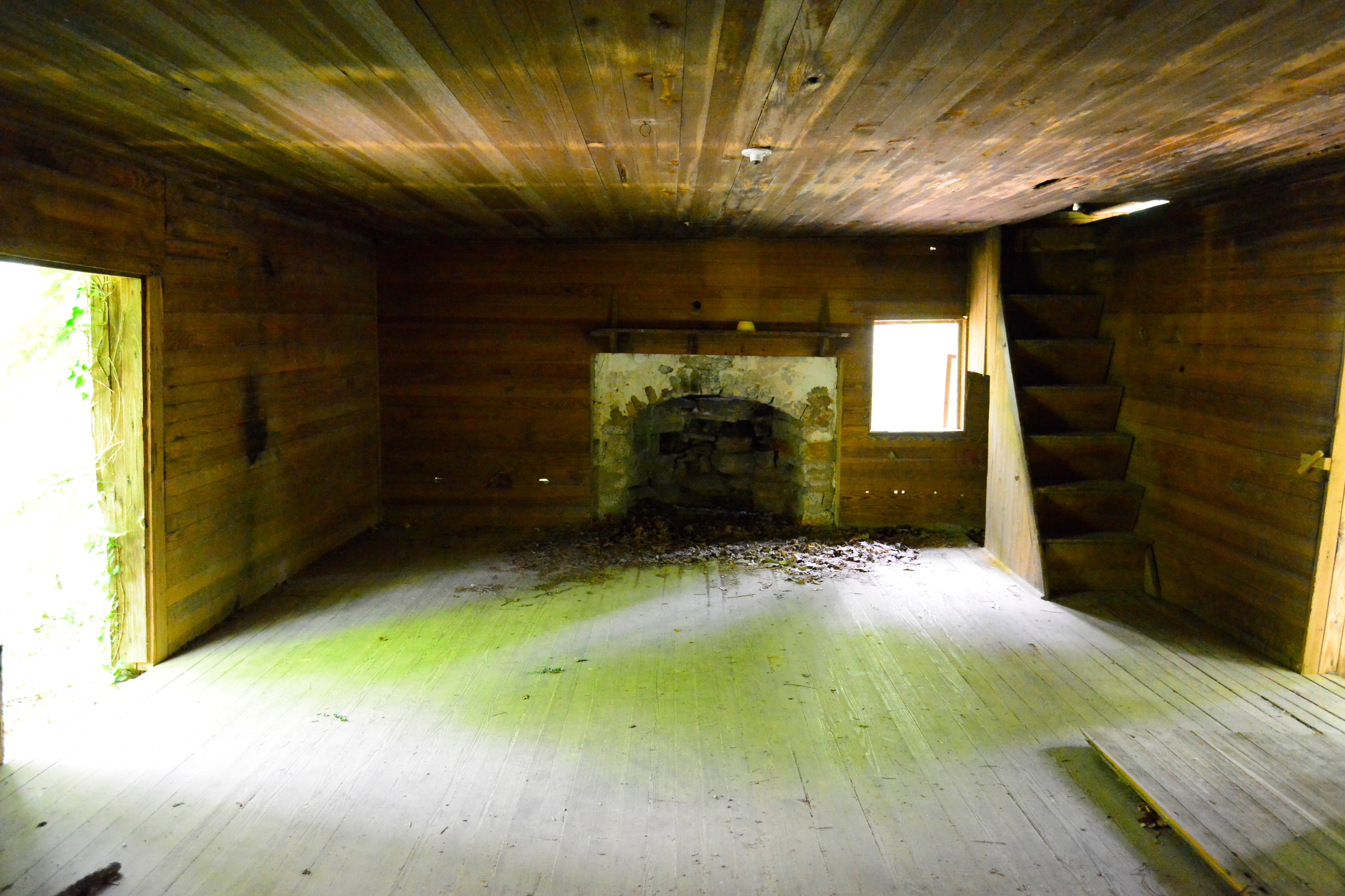
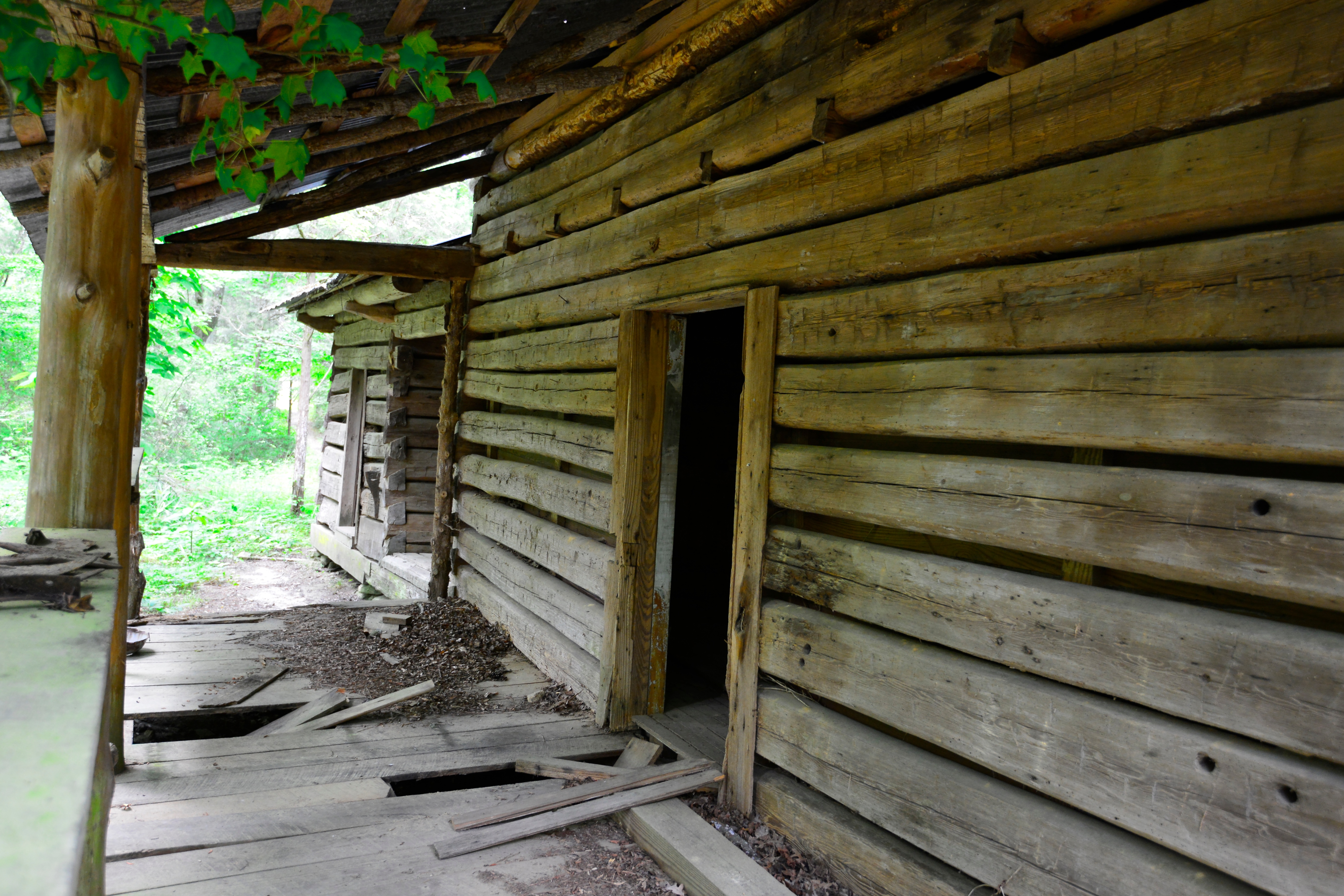
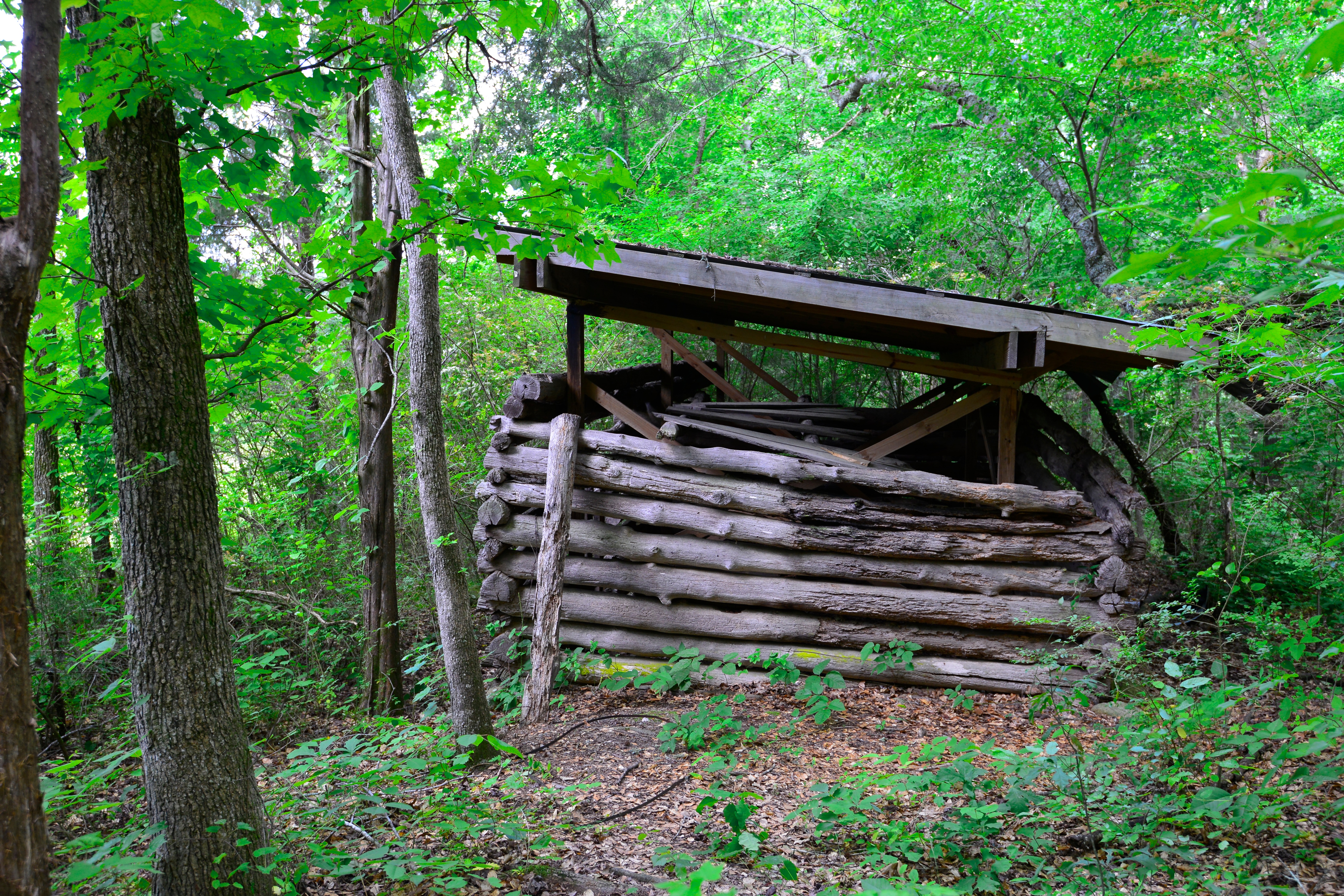
Grist Mill

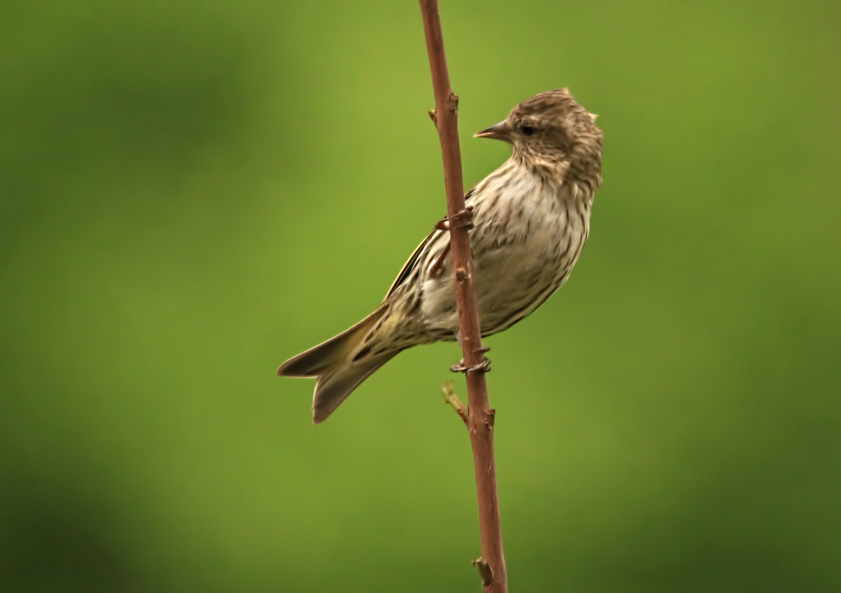
House Finch

Mirror Lake (Villa Rica, Georgia)

Clinton#36_1RL4845
Clinton#37_1RL4845
Clinton#50_1RL4868
Drab Female House Finch

Clinton#21_1RL4788

Clinton#49_1RL4868
Clinton#23_1RL4791
Clinton#53_1RL4879
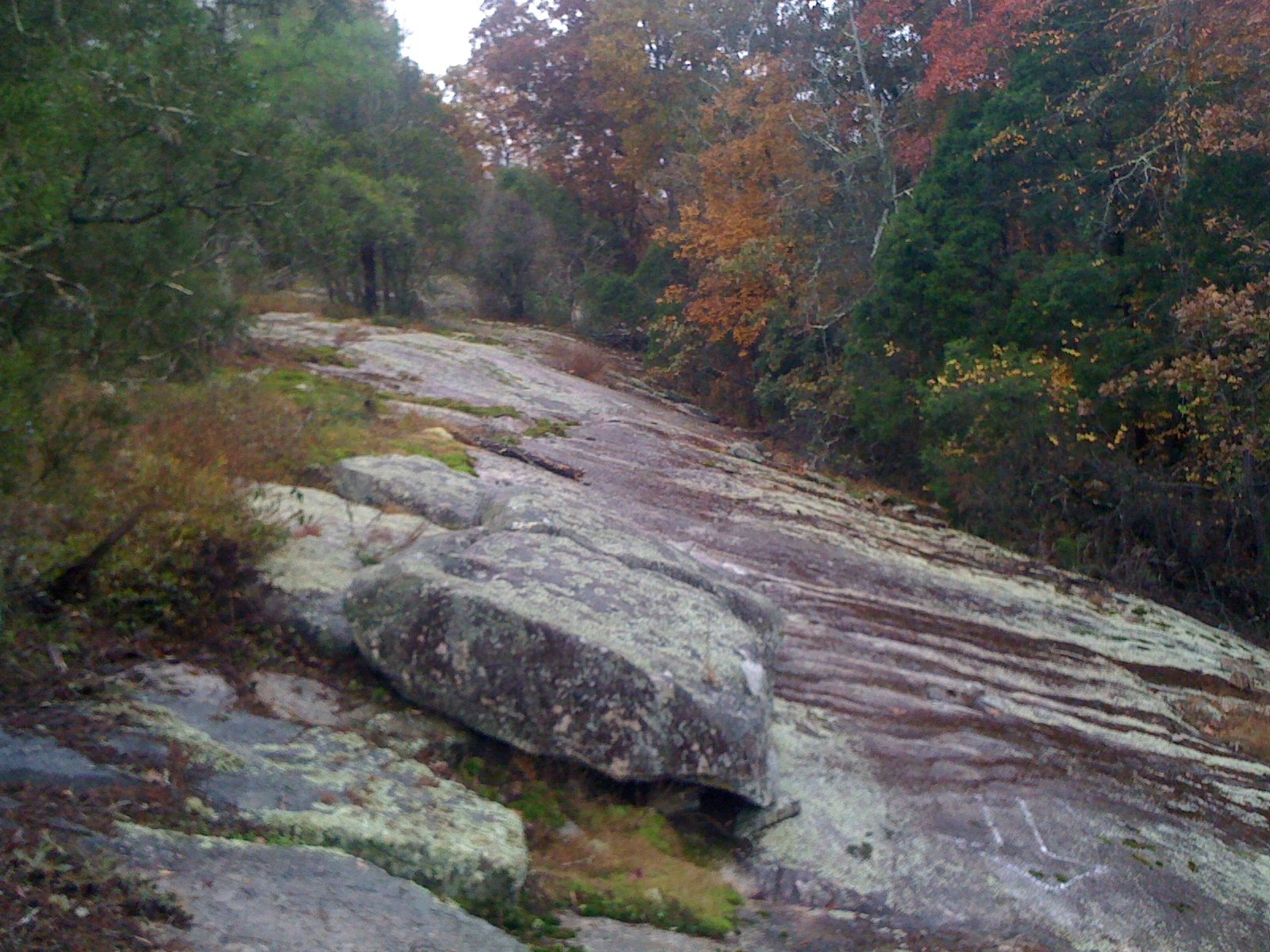
Off Camber Granite

Clinton#23_1RL4791
Topographic Map of Wesley Mill Pl, Villa Rica, GA, USA
Find elevation by address:

Places near Wesley Mill Pl, Villa Rica, GA, USA:
1507 Syble Dr
160 Detweiler Rd
220 White Flower Cir
1033 Ga-101
3390 Mulberry Rock Rd
Mulberry Rock Rd, Dallas, GA, USA
2040 Honeysuckle Ln
1214 Asbury Rd
440 Townsend Rd
8390 Villa Rica Hwy
New Georgia
Goodman Rd, Temple, GA, USA
216 Courthouse Rd
39 Cedar Creek Dr, Dallas, GA, USA
Buchanan Hwy, Dallas, GA, USA
Villa Rica Hwy, Dallas, GA, USA
Friendship Church Rd, Douglasville, GA, USA
GA-, Rockmart, GA, USA
Leggett Rd, Dallas, GA, USA
2223 Hulsey Town Rd
Recent Searches:
- Elevation of Pykes Down, Ivybridge PL21 0BY, UK
- Elevation of Jalan Senandin, Lutong, Miri, Sarawak, Malaysia
- Elevation of Bilohirs'k
- Elevation of 30 Oak Lawn Dr, Barkhamsted, CT, USA
- Elevation of Luther Road, Luther Rd, Auburn, CA, USA
- Elevation of Unnamed Road, Respublika Severnaya Osetiya — Alaniya, Russia
- Elevation of Verkhny Fiagdon, North Ossetia–Alania Republic, Russia
- Elevation of F. Viola Hiway, San Rafael, Bulacan, Philippines
- Elevation of Herbage Dr, Gulfport, MS, USA
- Elevation of Lilac Cir, Haldimand, ON N3W 2G9, Canada