Elevation of Gold Hill Baptist Church Fellowship Hall, Orchid Ln, Independence, VA, USA
Location: United States > Virginia > Grayson County > Elk Creek > Independence >
Longitude: -81.264704
Latitude: 36.6008114
Elevation: 809m / 2654feet
Barometric Pressure: 92KPa
Elevation Map:
Satellite Map:
Related Photos:

Forgotten House in the Hills

Old New River House

Virginia Hills

Foggy Mountain Morning

Mount Rogers

Hungry Bird

old Grayson county courthouse, Independence, VA

Mountain view from the meadow above our cabin

Mountain view just up the hill from our cabin

SWVA -- My Second Home

Through The Grass
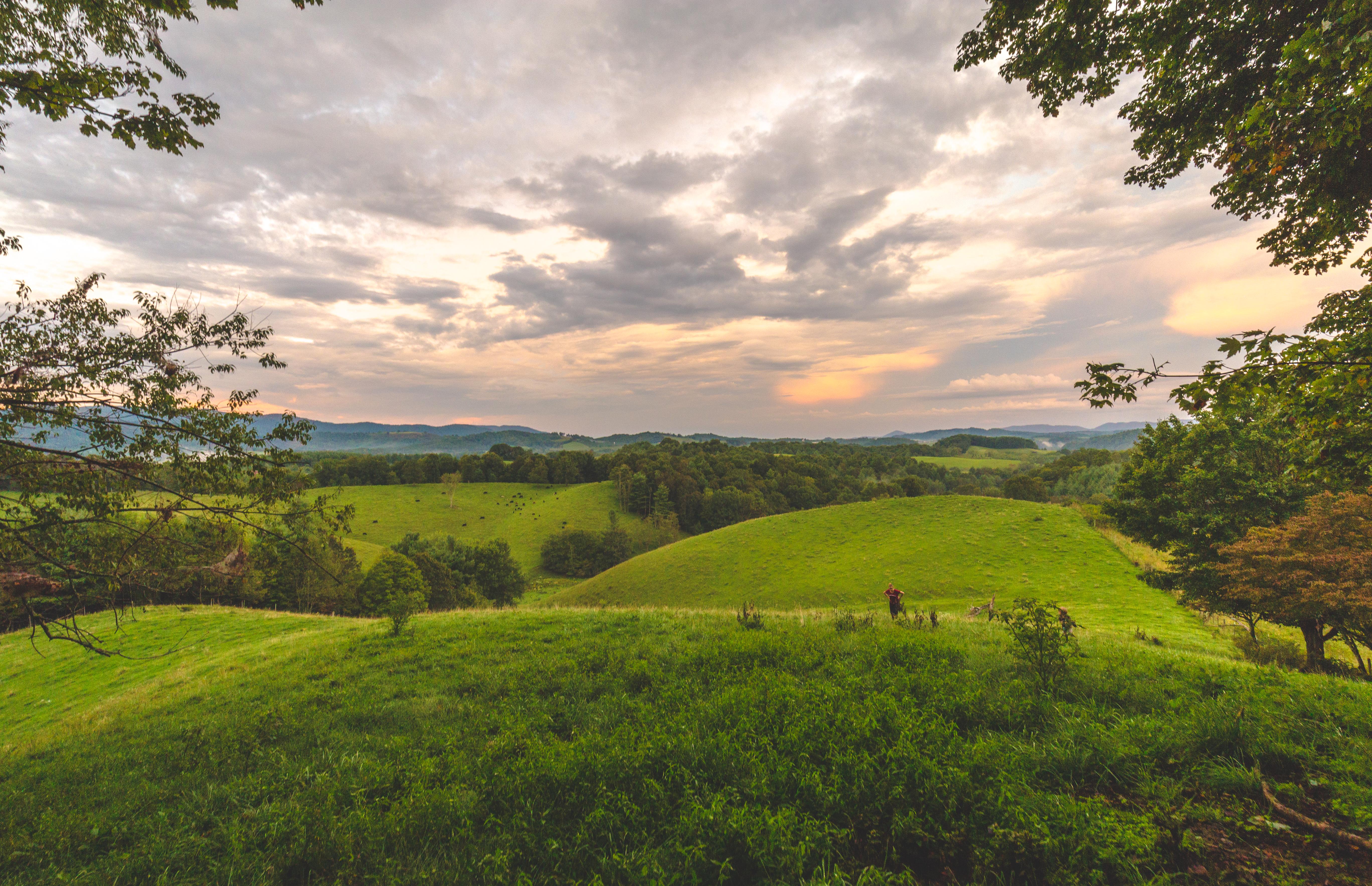
Virginia Hills Sunset

Over the Hills and Far Away

Powerhouse Falls

Farmers Fish Camp Road bridge damage

118/365: Thursday, April 28, 2011: DeBoard's Fox Hunt Farm, Grassy Creek, Ashe County, North Carolina

New River at Scottville, North Carolina

Huckleberry Ridge, Scottville, North Carolina

Grayson County Courthouse (New)

Entering North Carolina (Alleghany County, North Carolina)

Entering Virginia (Grayson County, Virginia)

Allegany Section New River State Park 20111009 4474

New River State Park

Jennifer, Bobbi, and Carol racing

Christmas Tree Farm
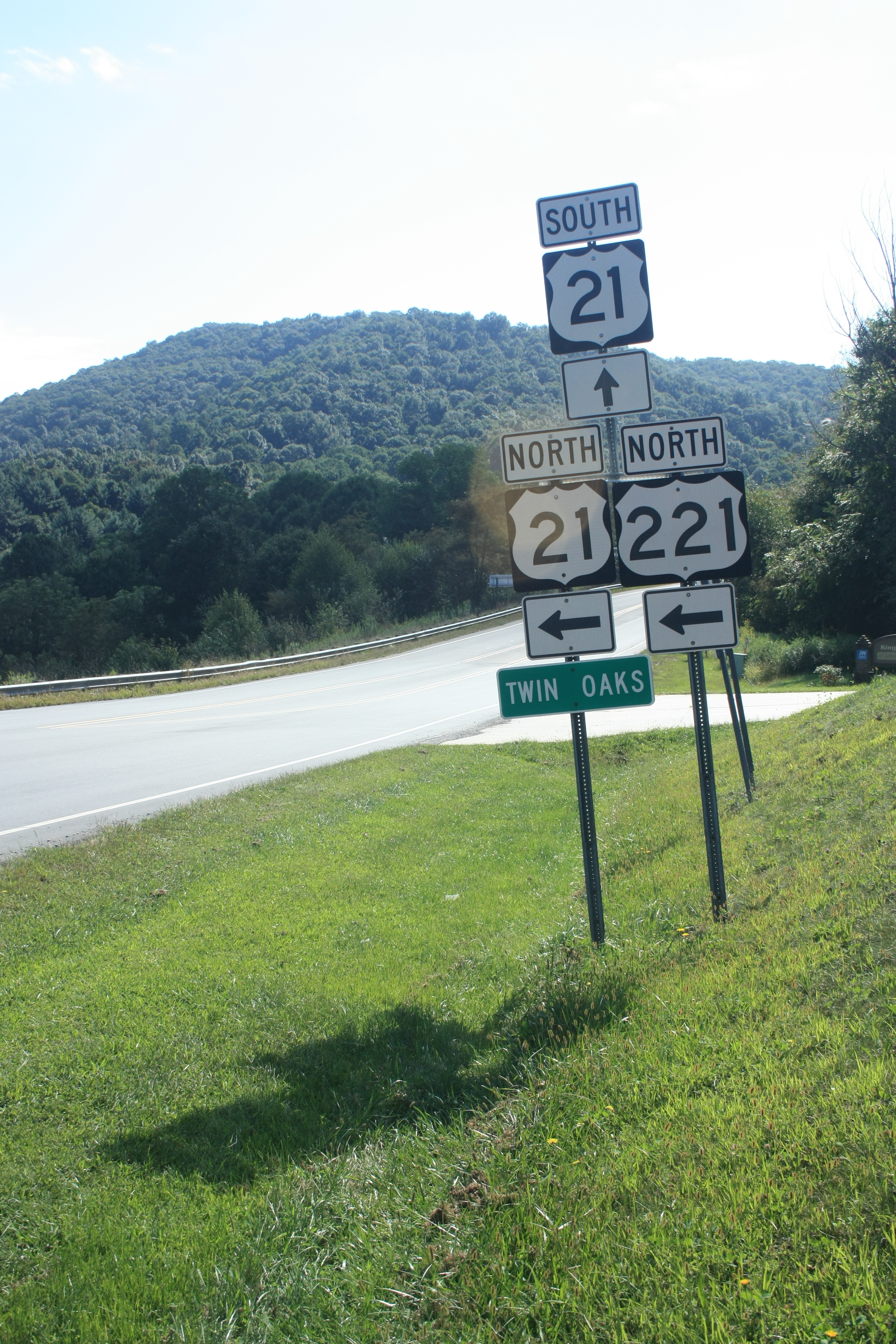
Twin Oaks

New River State Park
Topographic Map of Gold Hill Baptist Church Fellowship Hall, Orchid Ln, Independence, VA, USA
Find elevation by address:

Places near Gold Hill Baptist Church Fellowship Hall, Orchid Ln, Independence, VA, USA:
1312 Gold Hill Rd
2542 Potato Creek Rd
2542 Potato Creek Rd
2542 Potato Creek Rd
2542 Potato Creek Rd
Potato Creek Road
405 Bear Den Rd
204 Bear Creek Ln
17 River Bend Rd
Mount Carmel Road
859 Phipps Rd
60 Rocky Falls Ln
30 W Ridge Rd
260 W Ridge Rd
101 Milky Way
11190 Wilson Hwy
256 Deer Knoll Dr
11 Buck Trail Ln
300 Kritter Crossing Ln
83 Mountain Ridge Rd
Recent Searches:
- Elevation of Leguwa, Nepal
- Elevation of County Rd, Enterprise, AL, USA
- Elevation of Kolchuginsky District, Vladimir Oblast, Russia
- Elevation of Shustino, Vladimir Oblast, Russia
- Elevation of Lampiasi St, Sarasota, FL, USA
- Elevation of Elwyn Dr, Roanoke Rapids, NC, USA
- Elevation of Congressional Dr, Stevensville, MD, USA
- Elevation of Bellview Rd, McLean, VA, USA
- Elevation of Stage Island Rd, Chatham, MA, USA
- Elevation of Shibuya Scramble Crossing, 21 Udagawacho, Shibuya City, Tokyo -, Japan