Elevation of Glade Spring, VA, USA
Location: United States > Virginia > Washington County > Monroe >
Longitude: -81.771232
Latitude: 36.791225
Elevation: 635m / 2083feet
Barometric Pressure: 94KPa
Elevation Map:
Satellite Map:
Related Photos:
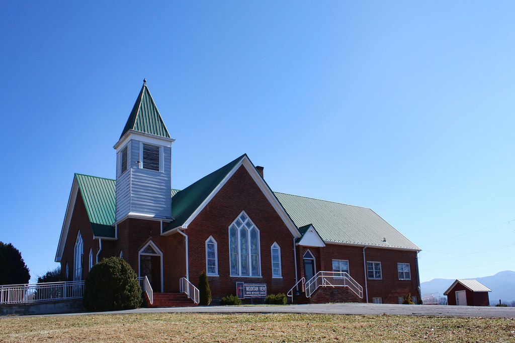
Mountain View United Methodist Church
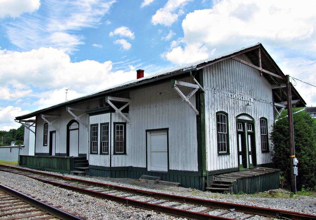
Meadowview, Virginia

Black-legged Meadow Katydid Nymph
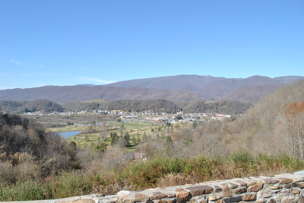
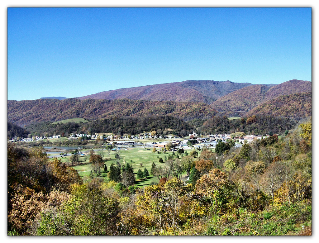
SALTVILLE OVERLOOK
SALTVILLE OVERLOOK
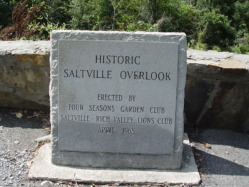
SALTVILLE OVERLOOK
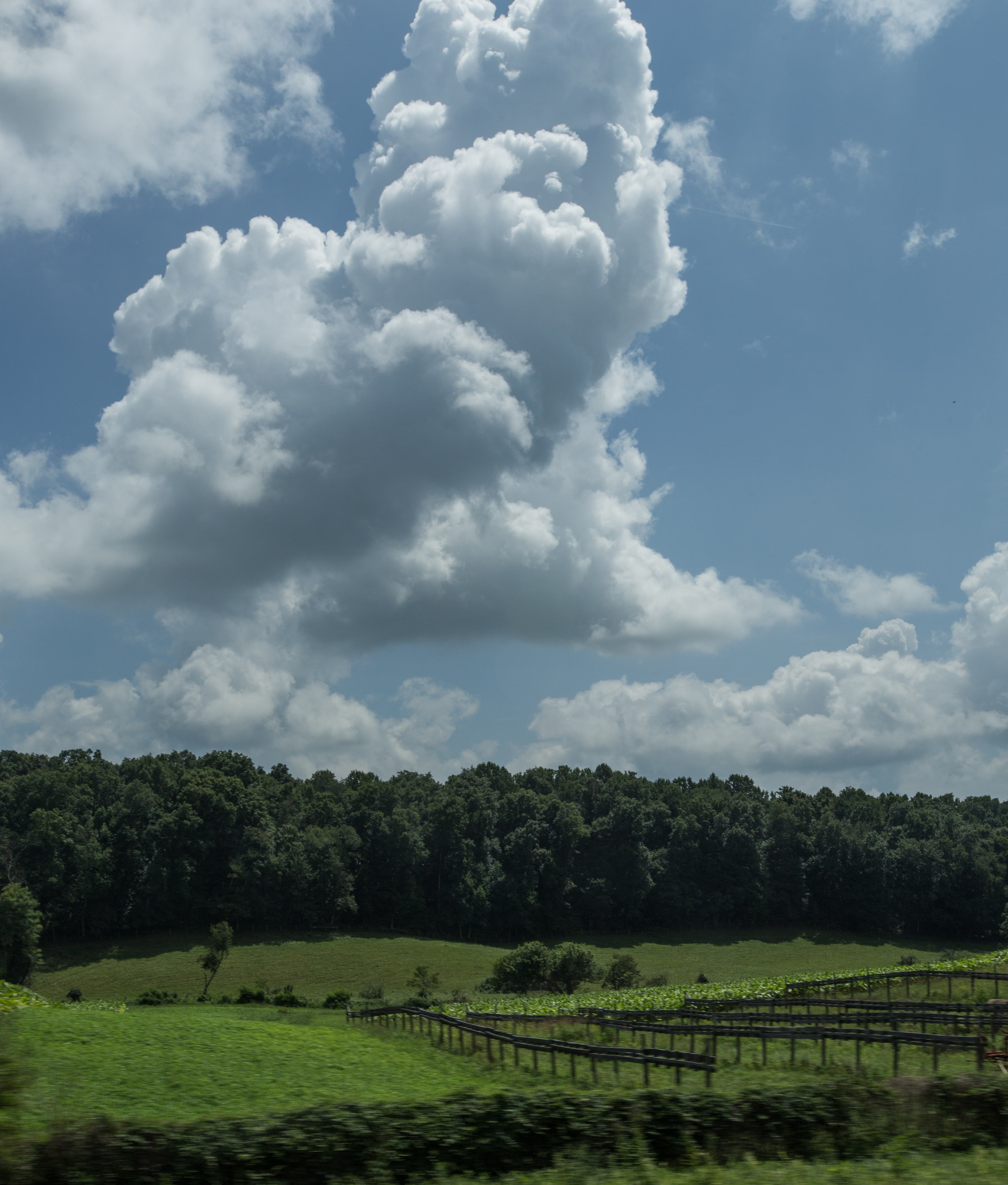
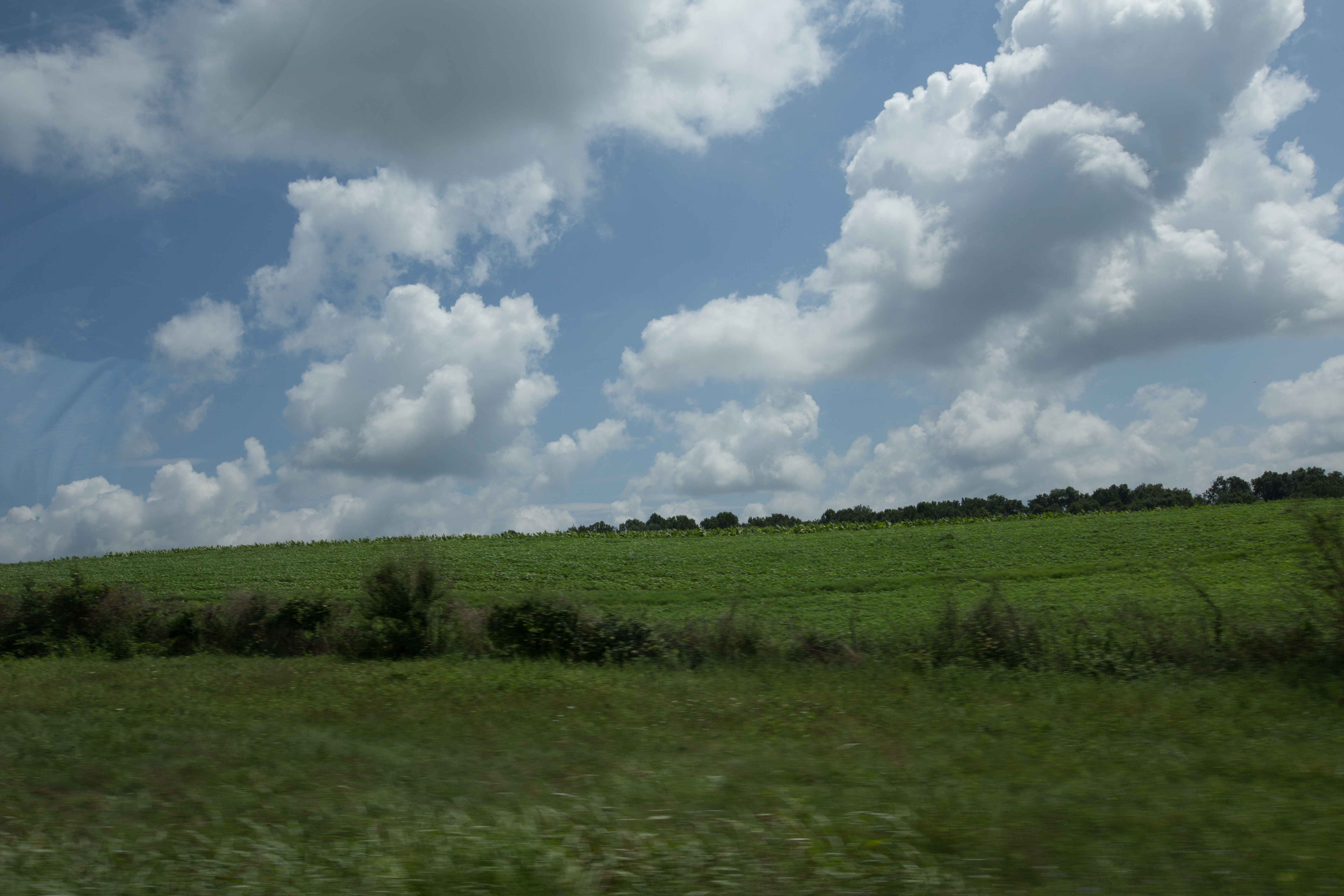
More beautiful scenery in va
IMG_2854.jpg
IMG_2853.jpg
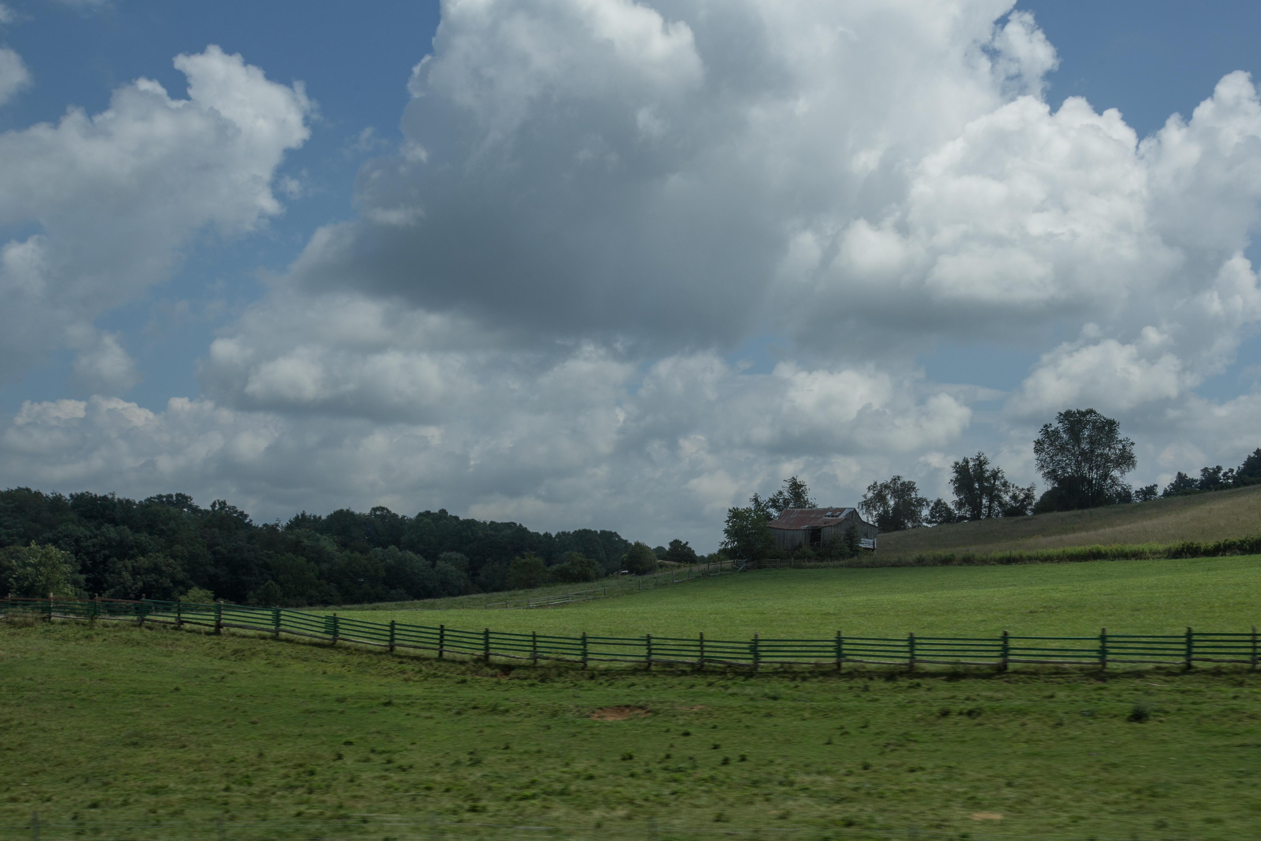
Scenery near Glade Spring
IMG_2845.jpg
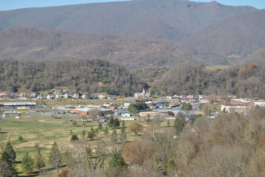
Saltville, Virginia
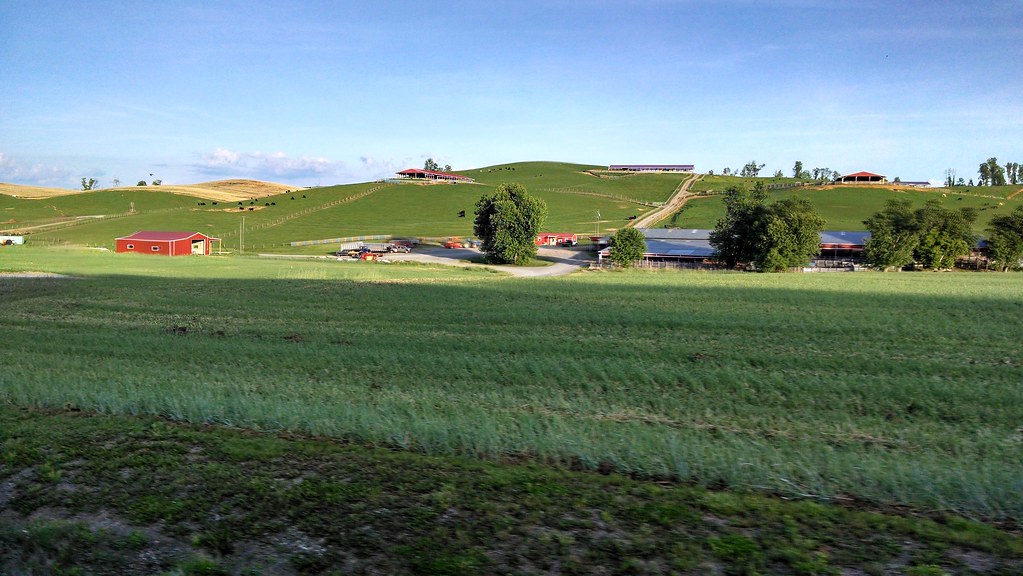
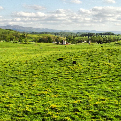
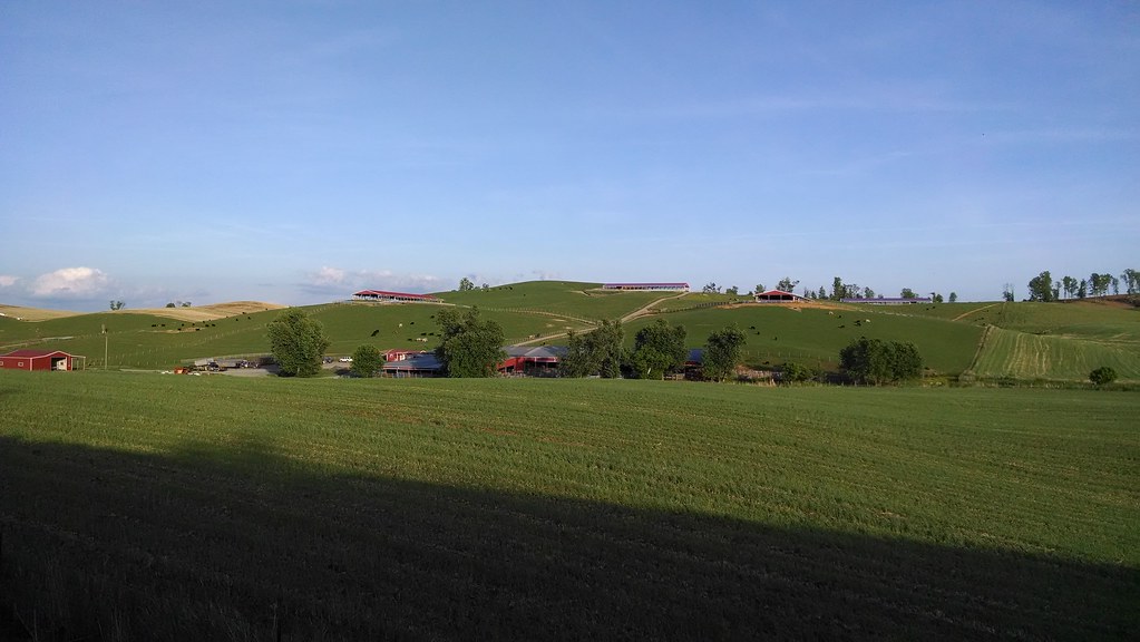
Farms near glade springs
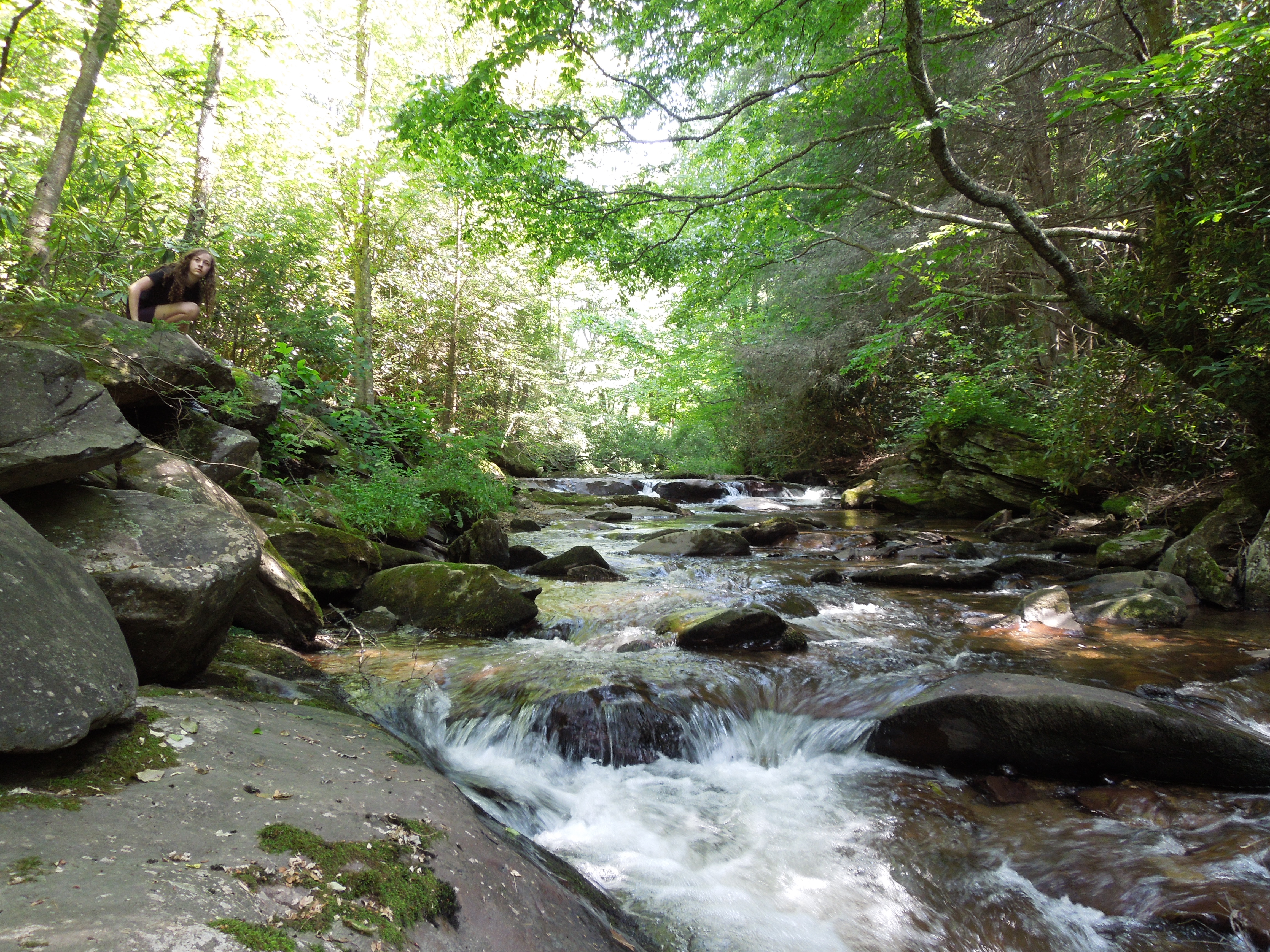
streams of peace
Topographic Map of Glade Spring, VA, USA
Find elevation by address:

Places in Glade Spring, VA, USA:
Forsythia Ln, Glade Spring, VA, USA
Debusk Mill Rd, Glade Spring, VA, USA
Crescent Rd, Glade Spring, VA, USA
Widener Valley Road
Mount Calm Drive
Places near Glade Spring, VA, USA:
Crescent Rd, Glade Spring, VA, USA
Old Mill Rd, Glade Spring, VA, USA
8315 Buchanan Rd
Plum Creek Road
11391 Mt Calm Dr
Debusk Mill Rd, Glade Spring, VA, USA
Mount Calm Drive
9231 Stillmeadows Ln
Forsythia Ln, Glade Spring, VA, USA
15125 Rouse Rd
1001 Palmer Ave
190 Saddleback Rd
852 Meadowbrook Dr
429 Almond Ln
Crestwood Dr, Chilhowie, VA, USA
Blue Grass Trail
Home, 29326 Hillman Hwy
130 Lee Hwy
Chilhowie
Monroe
Recent Searches:
- Elevation of Corso Fratelli Cairoli, 35, Macerata MC, Italy
- Elevation of Tallevast Rd, Sarasota, FL, USA
- Elevation of 4th St E, Sonoma, CA, USA
- Elevation of Black Hollow Rd, Pennsdale, PA, USA
- Elevation of Oakland Ave, Williamsport, PA, USA
- Elevation of Pedrógão Grande, Portugal
- Elevation of Klee Dr, Martinsburg, WV, USA
- Elevation of Via Roma, Pieranica CR, Italy
- Elevation of Tavkvetili Mountain, Georgia
- Elevation of Hartfords Bluff Cir, Mt Pleasant, SC, USA