Elevation of Gila National Forest, New Mexico, USA
Location: United States > New Mexico > Socorro County > Alamo >
Longitude: -108.37588
Latitude: 33.3747871
Elevation: 2155m / 7070feet
Barometric Pressure: 78KPa
Elevation Map:
Satellite Map:
Related Photos:

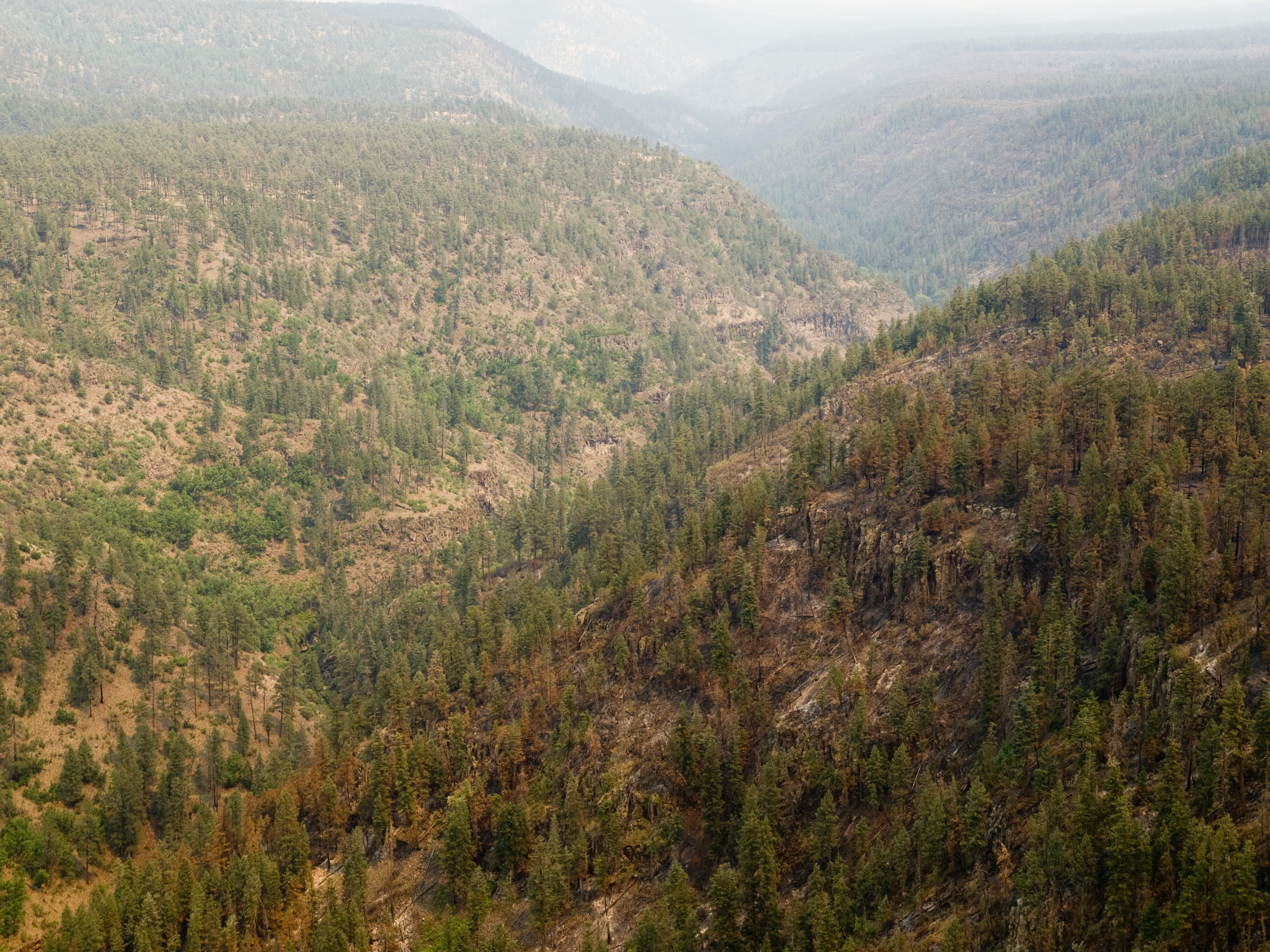
CAC007393a

CAC007388a

CAC007391a

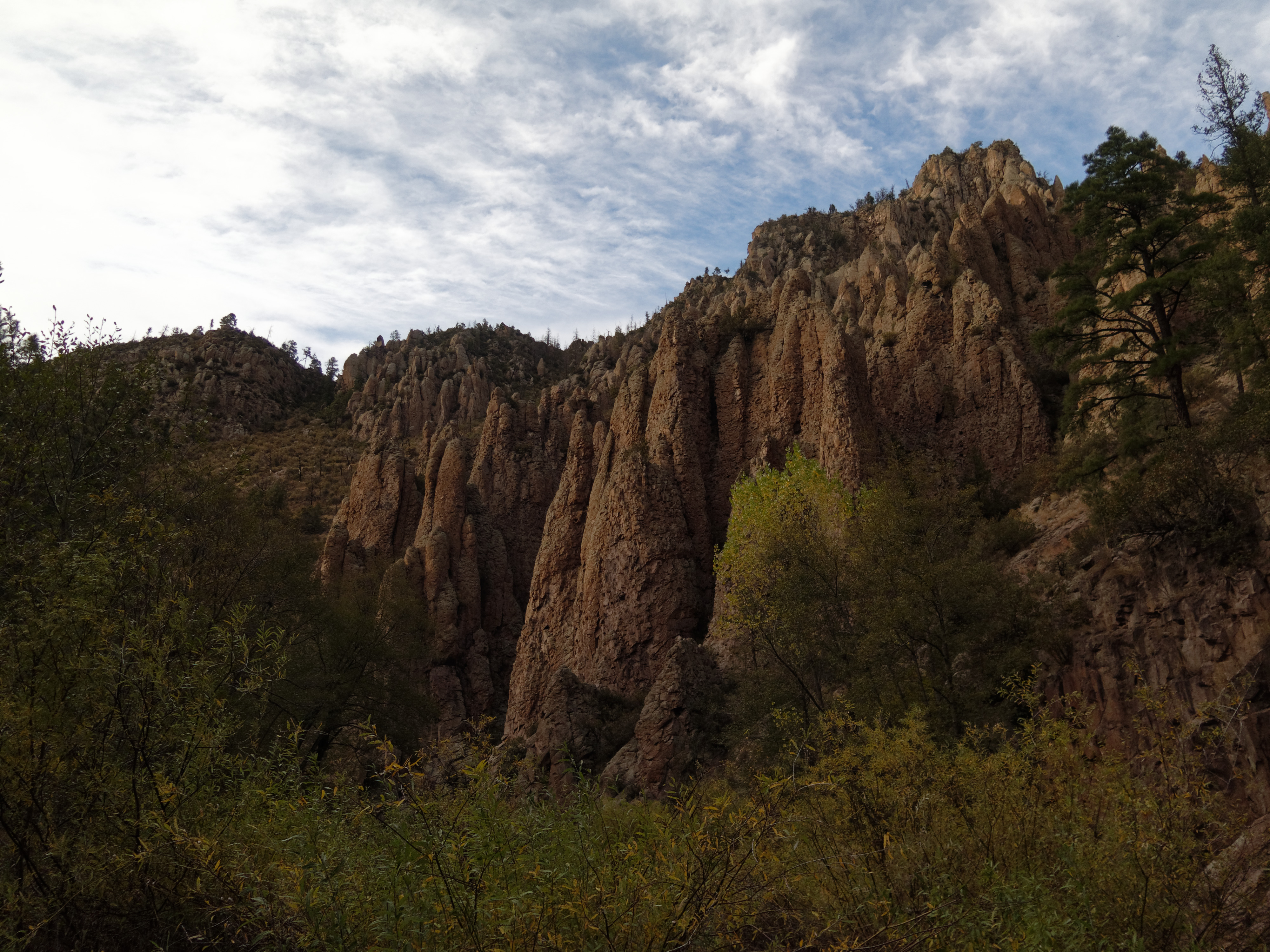
Middle Fork Gila River Trail #157

NM_12-06-02_0457

West Fork Gila River Trail #151

NM_12-06-02_0462
NM_12-06-02_0452

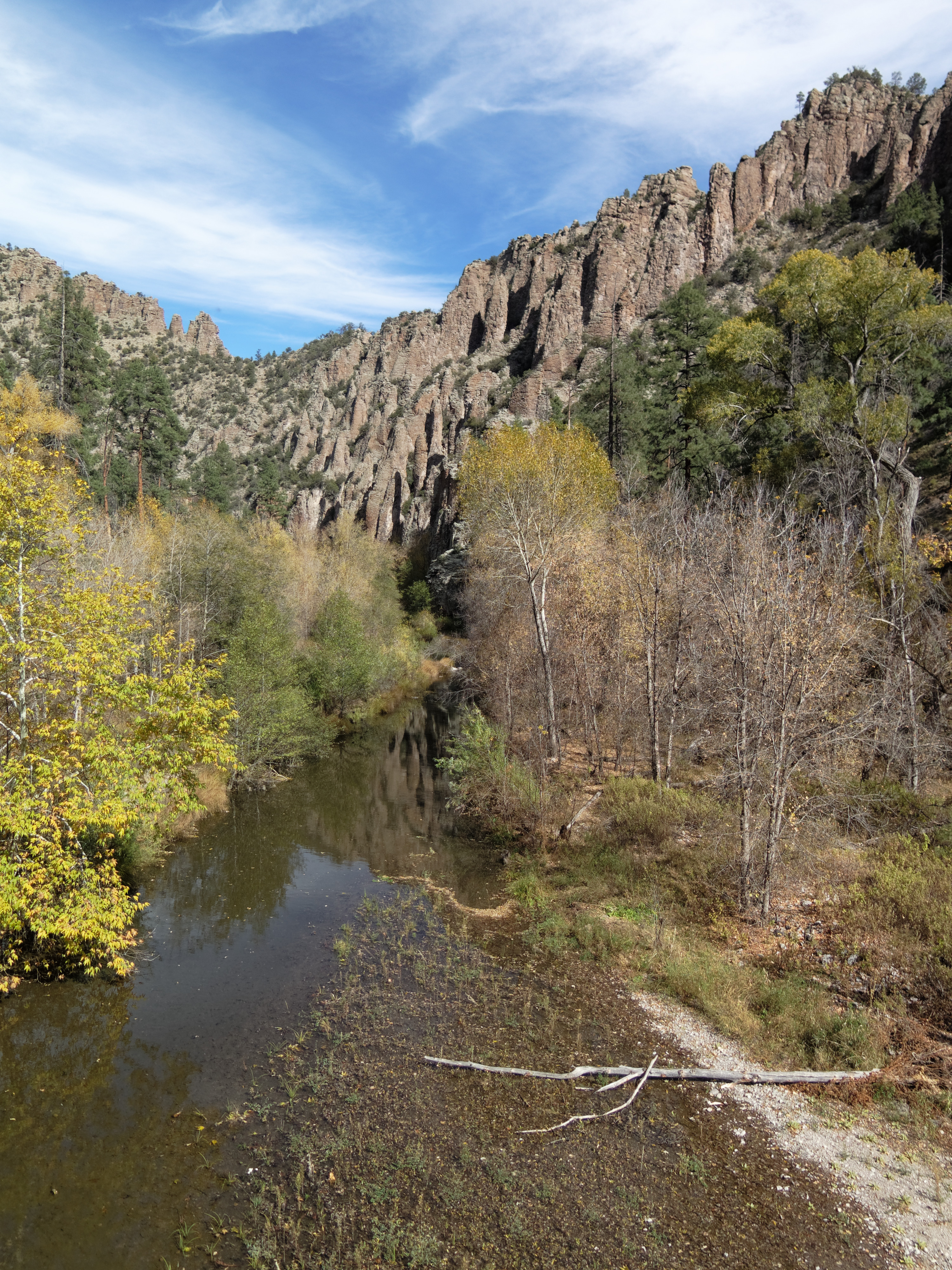
Middle Fork Gila River
West Fork Gila River Trail #151

Gila Cliff Dwellings

Middle Fork Gila River Trail #157
West Fork Gila River Trail #151

West Fork Gila River

West Fork Gila River Trail #151

Looking Over the Middle Fork of the Gila River

West Fork Gila River Trail #151

Gila Cliff Dwellings

Hikers Crossing Middle Fork

Middle Fork Gila River Trail #157

Middle Fork Gila River Trail #157

West Fork Gila River Trail #151

West Fork Gila River Trail #151

West Fork Gila River Trail #151
Topographic Map of Gila National Forest, New Mexico, USA
Find elevation by address:

Places near Gila National Forest, New Mexico, USA:
Canyon Creek Mountains Hp
Cooney Point
Lilley Mountain
Jerky Mountains Hp
Dipping Vat Campground
Middle Elk Mountain
Diablo Range Hp
Elk Mountain
Turkeyfeather Mountain
O Bar O Mountain
Mogollon Baldy Peak
Shelley Peak
Salvation Peak
Gila National Forest
Seventyfour Mountain
Pinon Knob
Sacaton Mountain
Haystack Mountain
Deep Creek Divide
Eagle Peak
Recent Searches:
- Elevation of Vista Blvd, Sparks, NV, USA
- Elevation of 15th Ave SE, St. Petersburg, FL, USA
- Elevation of Beall Road, Beall Rd, Florida, USA
- Elevation of Leguwa, Nepal
- Elevation of County Rd, Enterprise, AL, USA
- Elevation of Kolchuginsky District, Vladimir Oblast, Russia
- Elevation of Shustino, Vladimir Oblast, Russia
- Elevation of Lampiasi St, Sarasota, FL, USA
- Elevation of Elwyn Dr, Roanoke Rapids, NC, USA
- Elevation of Congressional Dr, Stevensville, MD, USA