Elevation of Cooney Point, New Mexico, USA
Location: United States > New Mexico > Magdalena >
Longitude: -108.29672
Latitude: 33.4283979
Elevation: 2568m / 8425feet
Barometric Pressure: 74KPa
Elevation Map:
Satellite Map:
Related Photos:
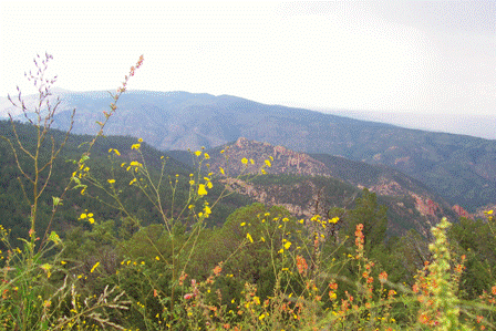
Gila National Forest, New Mexico

What fun…NOT!
Gila National Forest, New Mexico
Gila National Forest, New Mexico
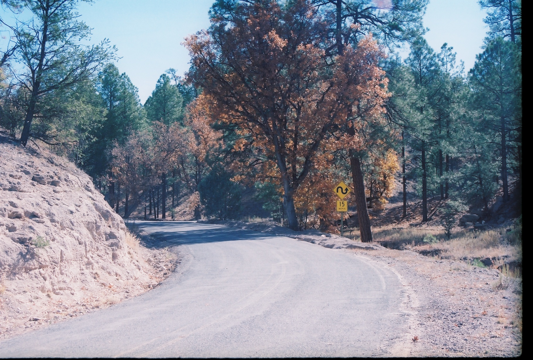
Lunch time picnic spot
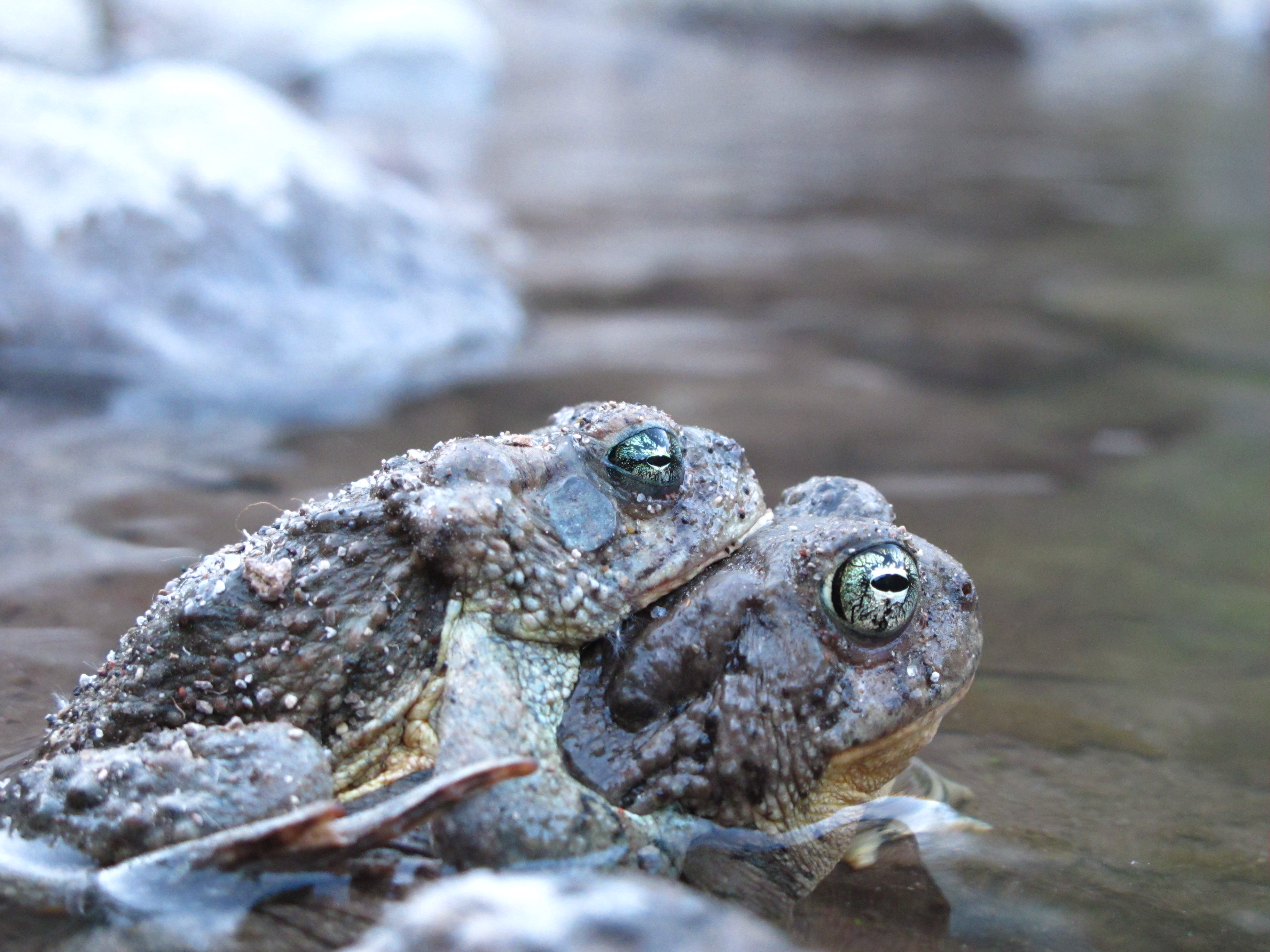
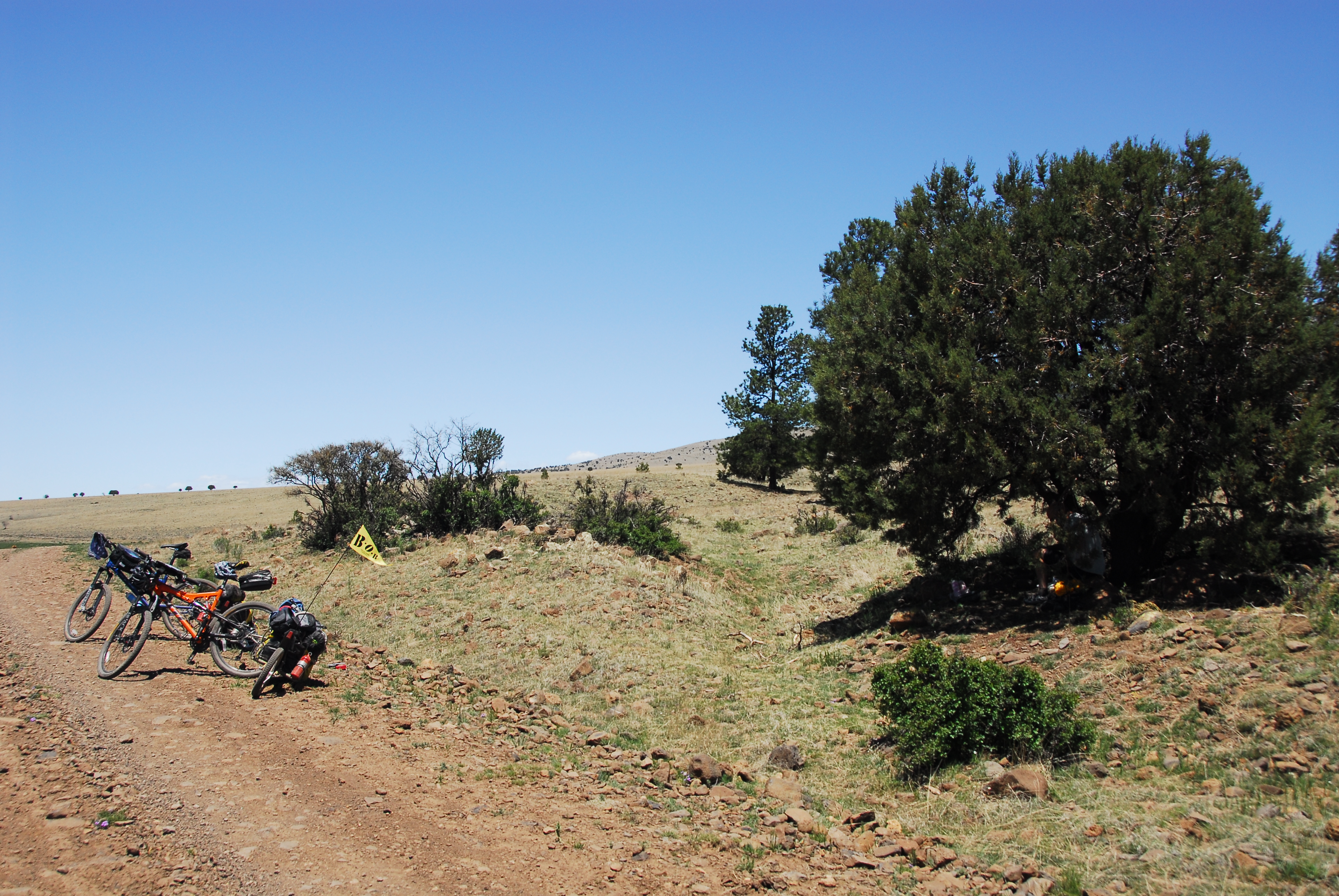
having fun
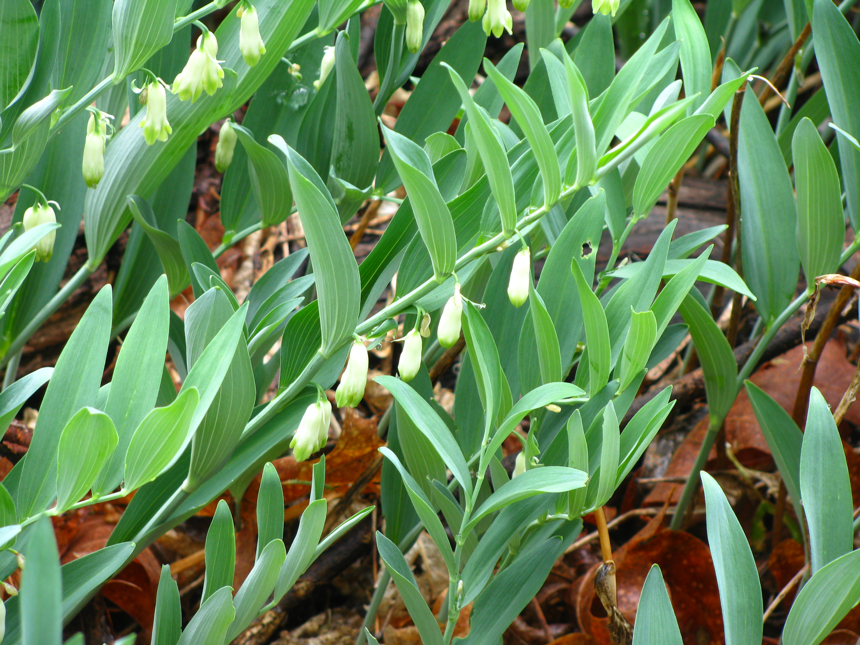
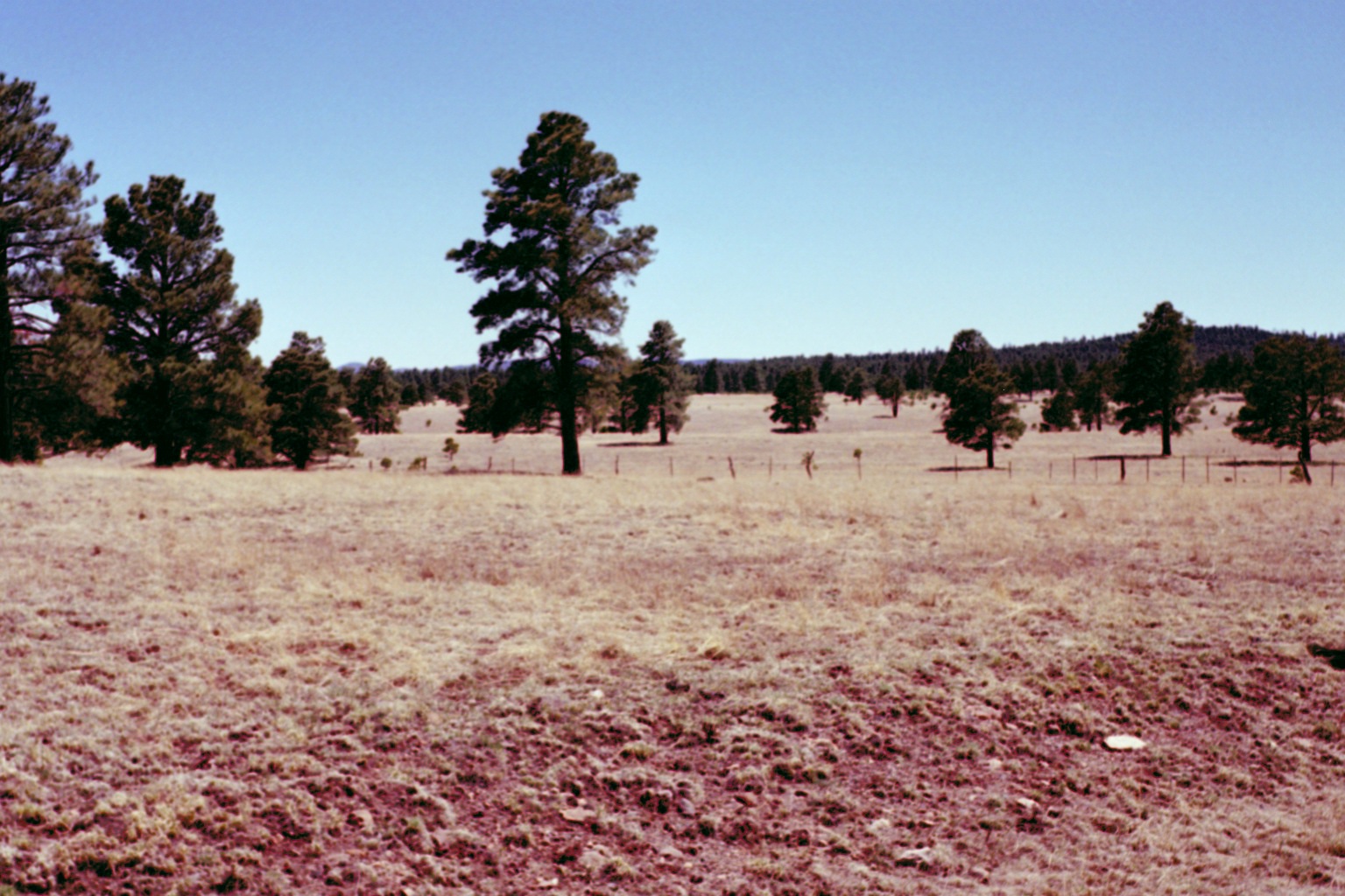
Life in the canyon
Topographic Map of Cooney Point, New Mexico, USA
Find elevation by address:

Places near Cooney Point, New Mexico, USA:
Canyon Creek Mountains Hp
Gila National Forest
Middle Elk Mountain
O Bar O Mountain
Elk Mountain
Lilley Mountain
Dipping Vat Campground
Jerky Mountains Hp
Salvation Peak
Diablo Range Hp
Turkeyfeather Mountain
Pinon Knob
Gila National Forest
Mogollon Baldy Peak
Shelley Peak
Buzzard Peak
Eagle Peak
Deep Creek Divide
Seventyfour Mountain
Sign Camp Mountain
Recent Searches:
- Elevation of Corso Fratelli Cairoli, 35, Macerata MC, Italy
- Elevation of Tallevast Rd, Sarasota, FL, USA
- Elevation of 4th St E, Sonoma, CA, USA
- Elevation of Black Hollow Rd, Pennsdale, PA, USA
- Elevation of Oakland Ave, Williamsport, PA, USA
- Elevation of Pedrógão Grande, Portugal
- Elevation of Klee Dr, Martinsburg, WV, USA
- Elevation of Via Roma, Pieranica CR, Italy
- Elevation of Tavkvetili Mountain, Georgia
- Elevation of Hartfords Bluff Cir, Mt Pleasant, SC, USA