Elevation of Ghogomali, Siliguri, West Bengal, India
Location: India > West Bengal > Jalpaiguri > Dabgram >
Longitude: 88.4525012
Latitude: 26.7147305
Elevation: 124m / 407feet
Barometric Pressure: 100KPa
Elevation Map:
Satellite Map:
Related Photos:

BCK VIEW OF SGUJ WDP-4D #40091
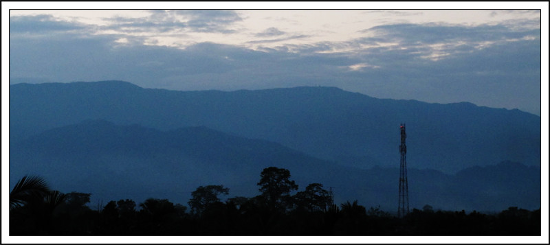
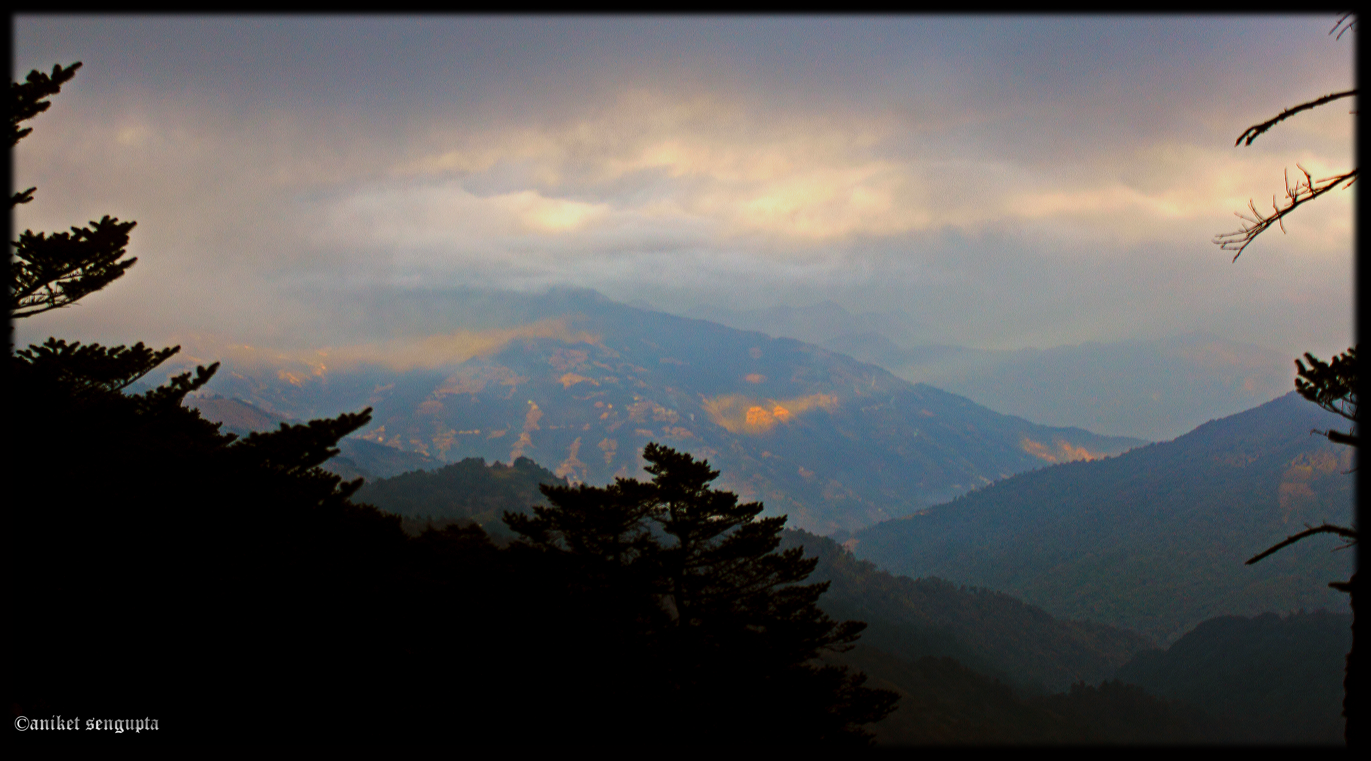
The Blue Mountain
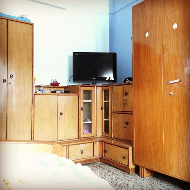
#Honestly the #first #view when I #wake up #every #morning #bed #room #hairs #cold #coffee #Starbucks #tipsy #Tea #music Thats pretty much #life
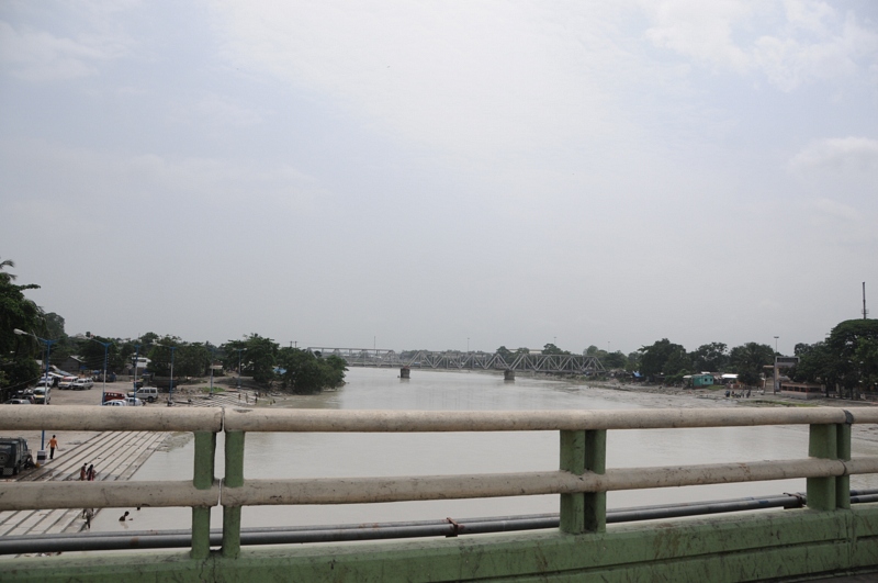
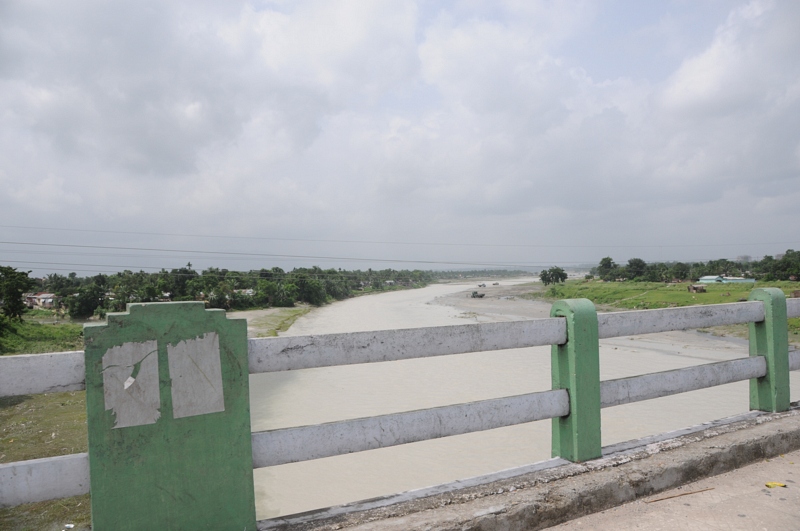
Dabgram, Siliguri, West Bengal
CSP_3980.JPG
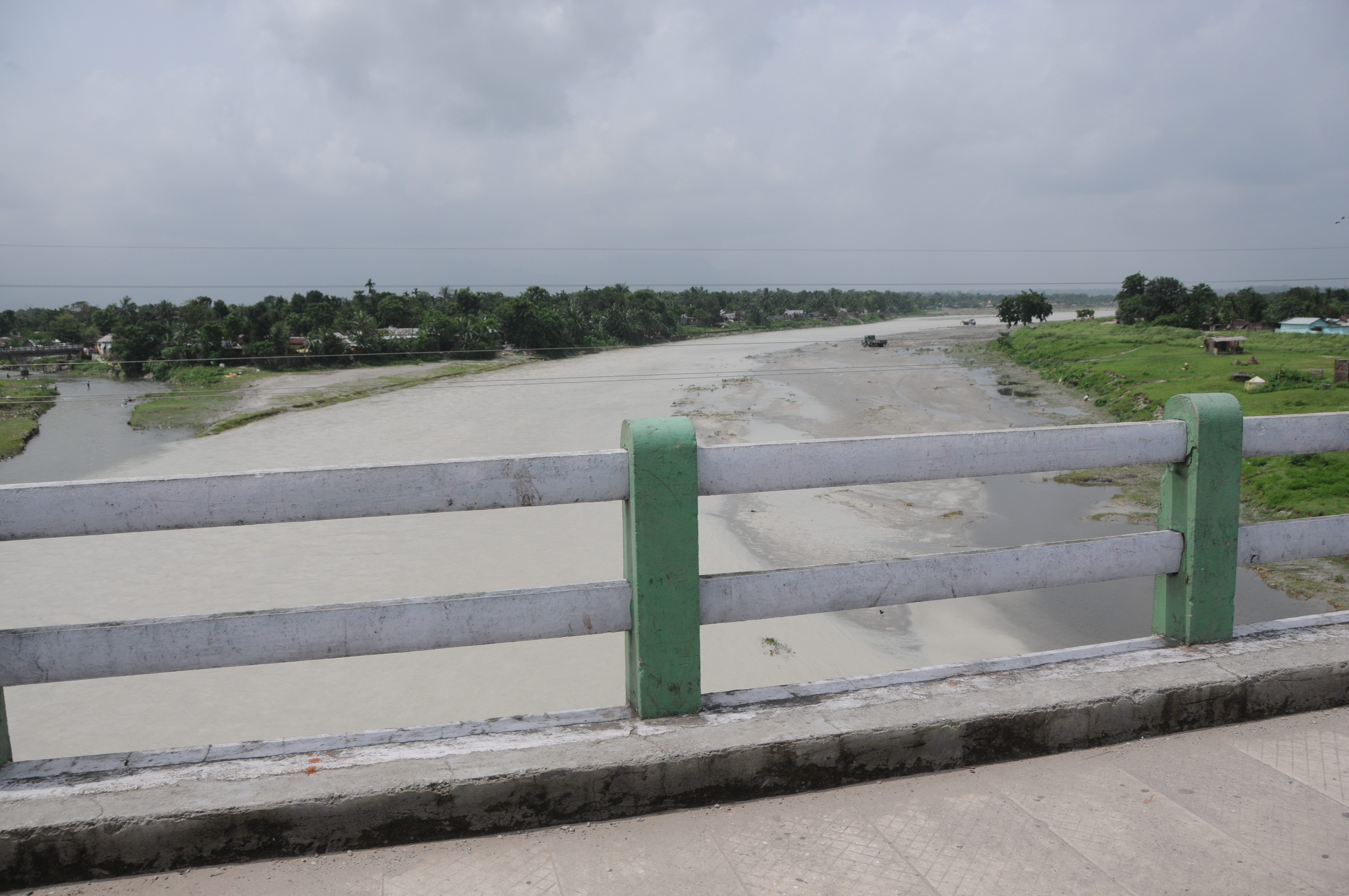
Dabgram, Siliguri, West Bengal
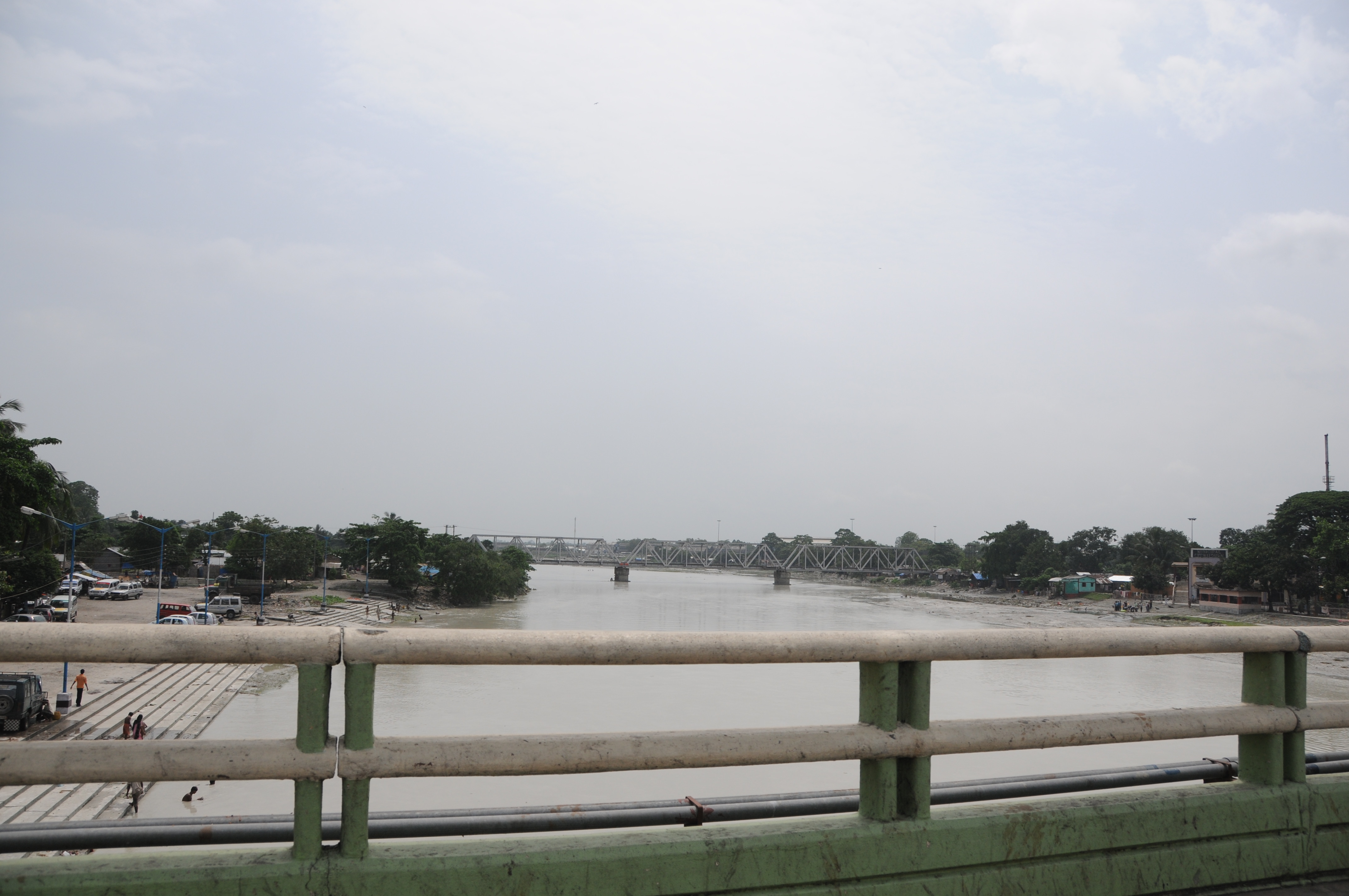
CSP_3978.JPG

Dabgram, Siliguri, West Bengal

©2014 Subir K. Ghosh
shades of afternoon

Blue tiger butterfly
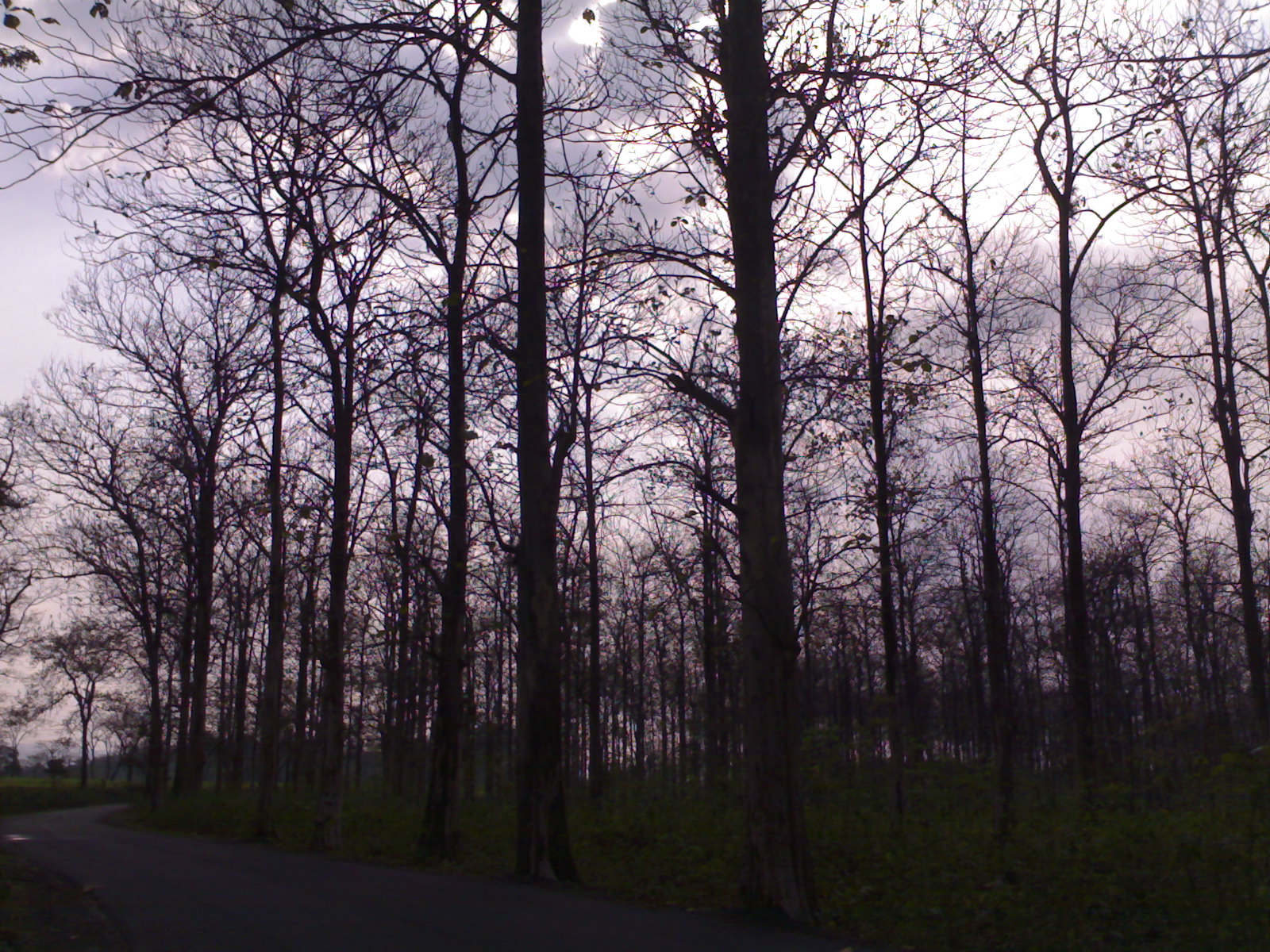
Naked Woods, Promise of Spring
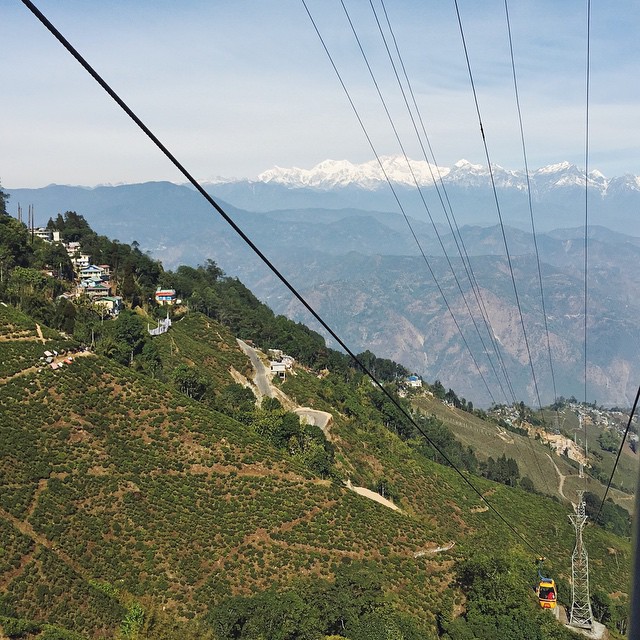
The Cable Car Hop to Darjeeling;

Dooars from Train

parapoynx fluctuosalis
Topographic Map of Ghogomali, Siliguri, West Bengal, India
Find elevation by address:

Places near Ghogomali, Siliguri, West Bengal, India:
Baribhasha Central School
Dabgram
Dabgram
Babupara
Surya Sen Mahavidyalaya
Fulbari
Ambari
Banglabandha
Dakshin Jibhakata
Mechinagar
Pyarivitta
Unnamed Road
Panchagarh
Bhadrapur Airport
Atwari Upazila
Birtamode
Rajgadh
Jhapa
Thakurgaon District
Thakurgaon
Recent Searches:
- Elevation of Deep Gap Farm Rd E, Mill Spring, NC, USA
- Elevation of Dog Leg Dr, Minden, NV, USA
- Elevation of Dog Leg Dr, Minden, NV, USA
- Elevation of Kambingan Sa Pansol Atbp., Purok 7 Pansol, Candaba, Pampanga, Philippines
- Elevation of Pinewood Dr, New Bern, NC, USA
- Elevation of Mountain View, CA, USA
- Elevation of Foligno, Province of Perugia, Italy
- Elevation of Blauwestad, Netherlands
- Elevation of Bella Terra Blvd, Estero, FL, USA
- Elevation of Estates Loop, Priest River, ID, USA