Elevation of Ghanapurward, Tandur, Telangana, India
Location: India > Telangana > Ranga Reddy > Tandur >
Longitude: 77.5845084
Latitude: 17.2576971
Elevation: 464m / 1522feet
Barometric Pressure: 96KPa
Elevation Map:
Satellite Map:
Related Photos:
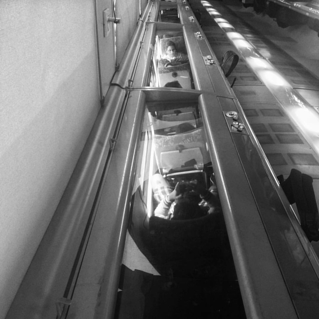
Shatabdi #train #people #reflection #upsidedown #_soi
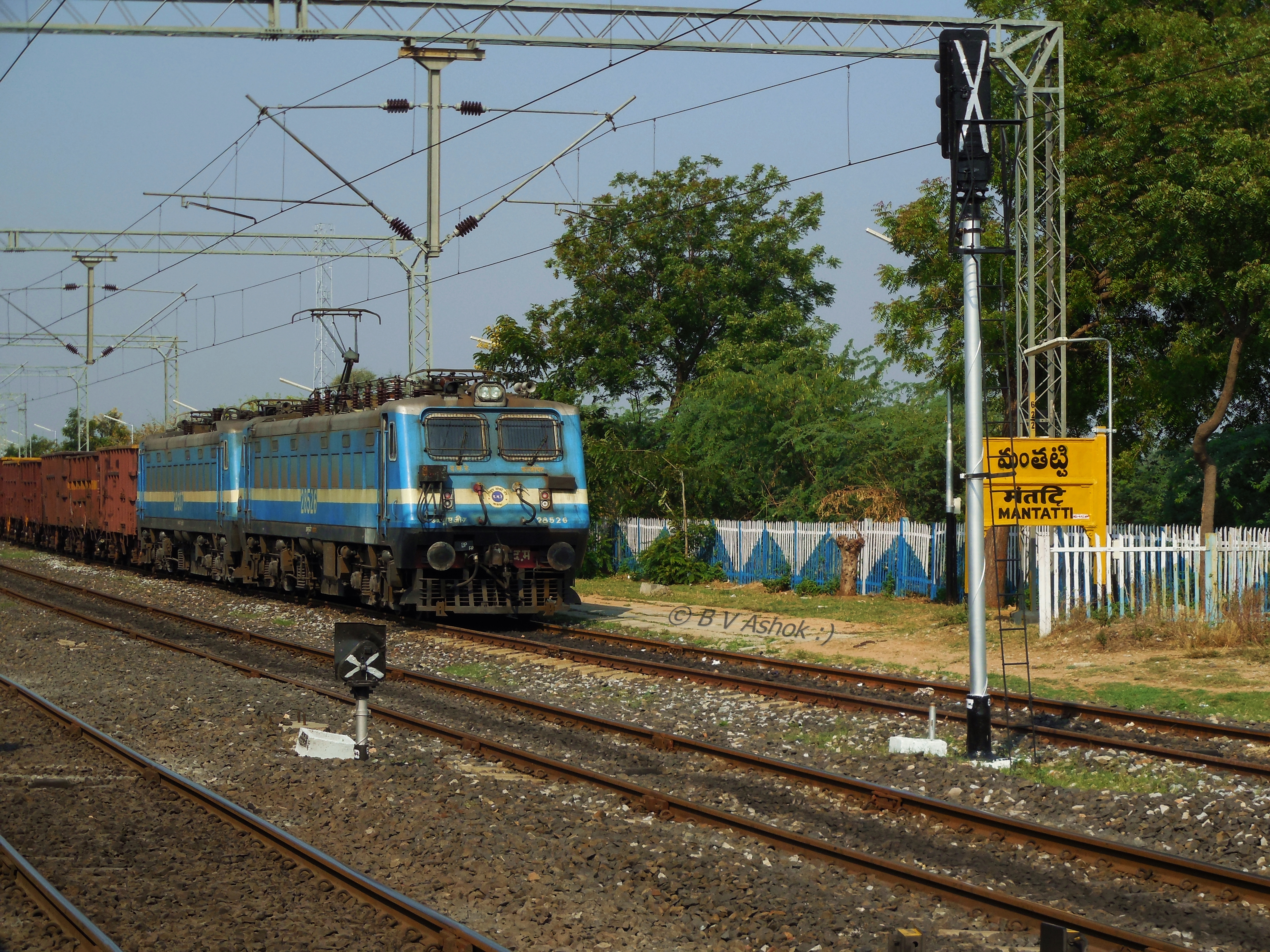
KZJ WAG-7
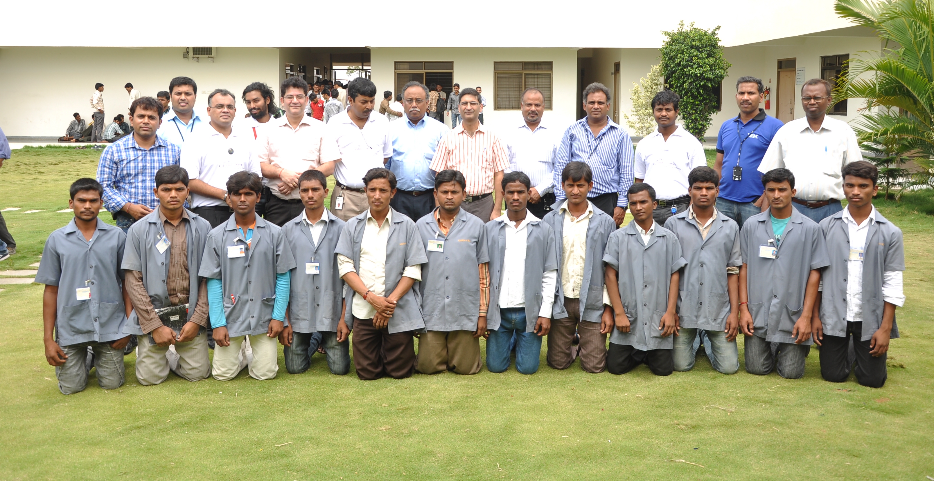
Celebration Of Service Day @ GMR Founcation Shamshabad
Topographic Map of Ghanapurward, Tandur, Telangana, India
Find elevation by address:

Places in Ghanapurward, Tandur, Telangana, India:
Places near Ghanapurward, Tandur, Telangana, India:
5-2-42
Tandur
Devanoor
Ananthagiri Hills
Ananthagiri Hills
Ananthagiri Hills Viewpoint
Anantagiri Hills
Ranga Reddy
Godamguda
Burgupally
Vikarabad
Dhanasiri
Bijinepally Salkarpet
Kankal
Kondurg
Konapur
Ravindra Nagar
4-2-97/1
Sadashivpet
Chevella
Recent Searches:
- Elevation of Paseo Lucido, San Diego, CA, USA
- Elevation of W S, Orem, UT, USA
- Elevation of Water Bird Wy, Punta Gorda, FL, USA
- Elevation of Teiskontie 8, Tampere, Finland
- Elevation of Pacific View Dr, Malibu, CA, USA
- Elevation of Thorpe Cir, Thousand Oaks, CA, USA
- Elevation of Eldorado do Sul - RS, Brazil
- Elevation of Eldorado do Sul - Parque Eldorado, Eldorado do Sul - RS, -, Brazil
- Elevation of 35 Governors Ln, Hilton Head Island, SC, USA
- Elevation of Orangevale, CA, USA