Elevation of Kankal, Telangana, India
Location: India > Telangana > Ranga Reddy >
Longitude: 78.0065563
Latitude: 17.2007449
Elevation: 618m / 2028feet
Barometric Pressure: 94KPa
Elevation Map:
Satellite Map:
Related Photos:

Top view #naturalbeauty #galaxys7edge #leaf #hyderabad

Green Revolution

From Dawn to Dusk

Feeding Ants

Not yet ready for shoot #bird

On next apartment terrace #bird

Like diamonds on the leave #nature #monson #galaxys7edge

Red spikes # nature #flower #galaxys7edge

Singing bushlark, Vikarabad
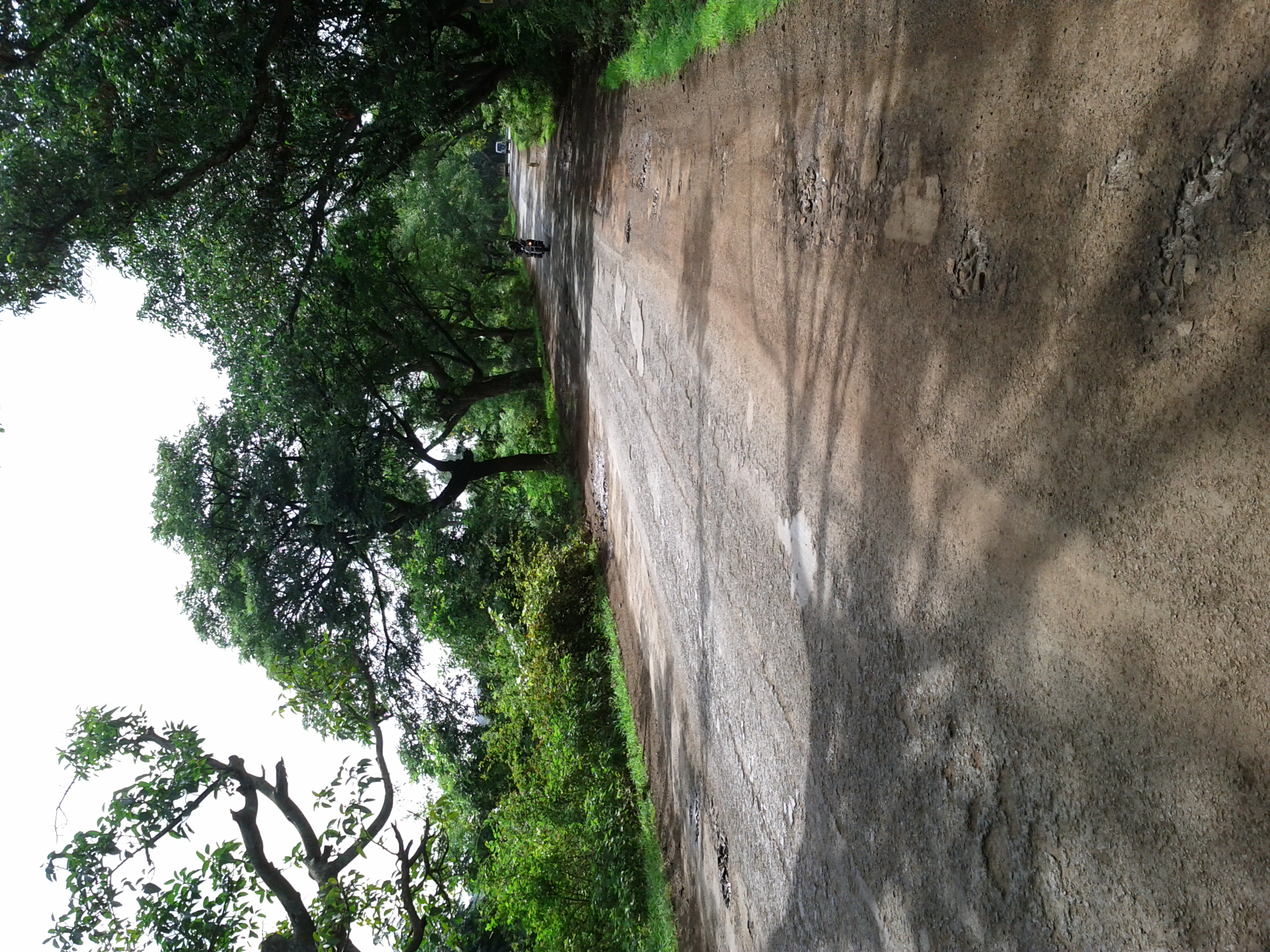
Enroute to Ananthagiri
Topographic Map of Kankal, Telangana, India
Find elevation by address:

Places near Kankal, Telangana, India:
Kondurg
Shahabad
Burgupally
Godamguda
Vikarabad
Chevella
Ananthagiri Hills Viewpoint
Anantagiri Hills
Ananthagiri Hills
Ananthagiri Hills
Shadnagar
Ranga Reddy
Medipally
Shankarpally
Konapur
Kothur
Mokila
Keshampet
Devanoor
Mrugavani National Park
Recent Searches:
- Elevation of Old Clairton Rd, Jefferson Hills, PA, USA
- Elevation of st Ave SE, Lisbon, ND, USA
- Elevation of Steamboat Island Road Northwest, Olympia, WA, USA
- Elevation of Kootenai Trail Rd, Bonners Ferry, ID, USA
- Elevation of Hickory Blvd, Bonita Springs, FL, USA
- Elevation of Lalagbene, Bayelsa, Nigeria
- Elevation of Ogbosuware Health Centre, 2WWJ+4PJ, Lalagbene, Bayelsa, Nigeria
- Elevation of Duckhorn Ct, Las Vegas, NV, USA
- Elevation of Garretts Run Rd, Ford City, PA, USA
- Elevation of N WI-55, Freedom, WI, USA