Elevation of Gerendás, Dózsa György u. 21, Hungary
Location: Hungary > Békés County > Orosházai > Gerendás >
Longitude: 20.857745
Latitude: 46.596963
Elevation: 90m / 295feet
Barometric Pressure: 100KPa
Elevation Map:
Satellite Map:
Related Photos:

No. 35606

No. 8598

No. 10319

No. 10374

No. 10195
All Photos-6472

KWX-471

KBK-841

HGR-754

GTZ-437

GMY-357
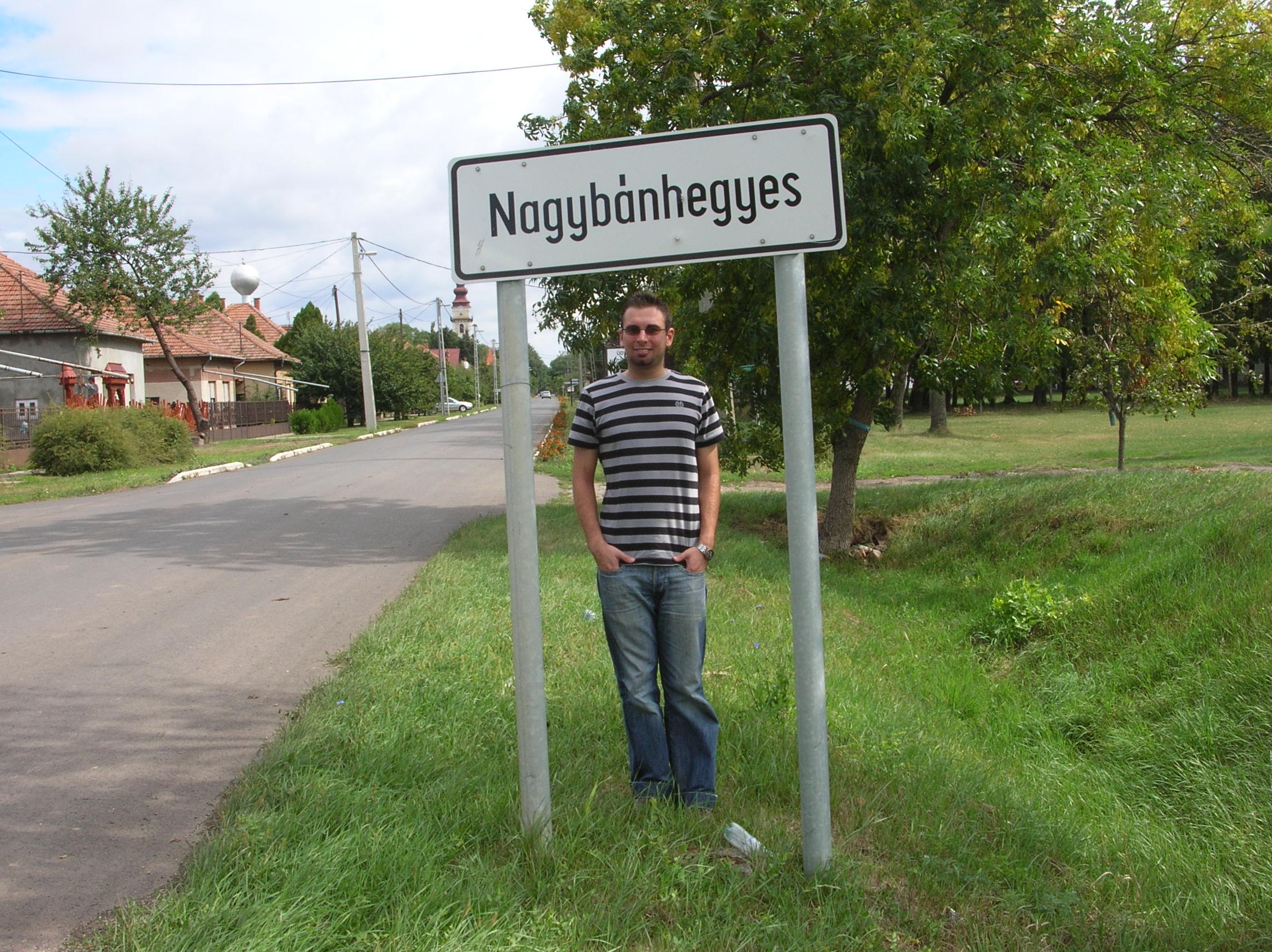
Nagybánhegyes
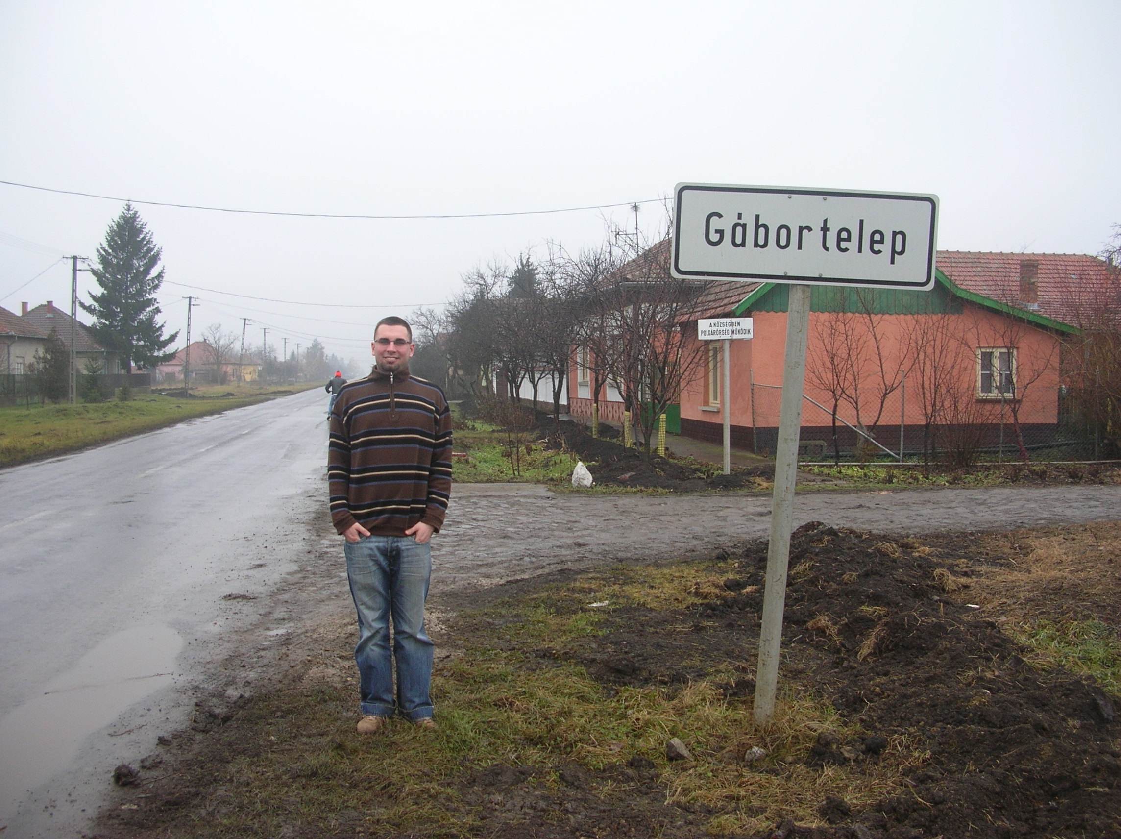
Gábortelep
2015_Orosháza_47_1351
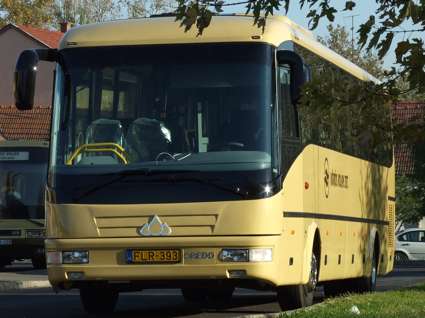
FLR-393
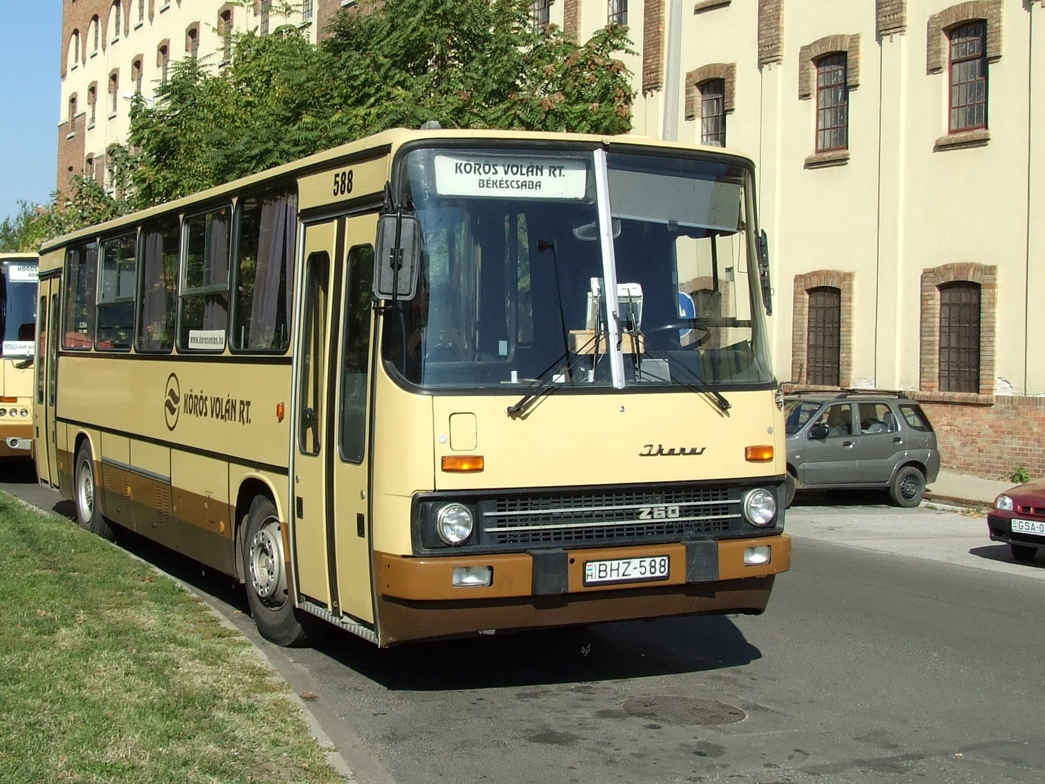
BHZ-588
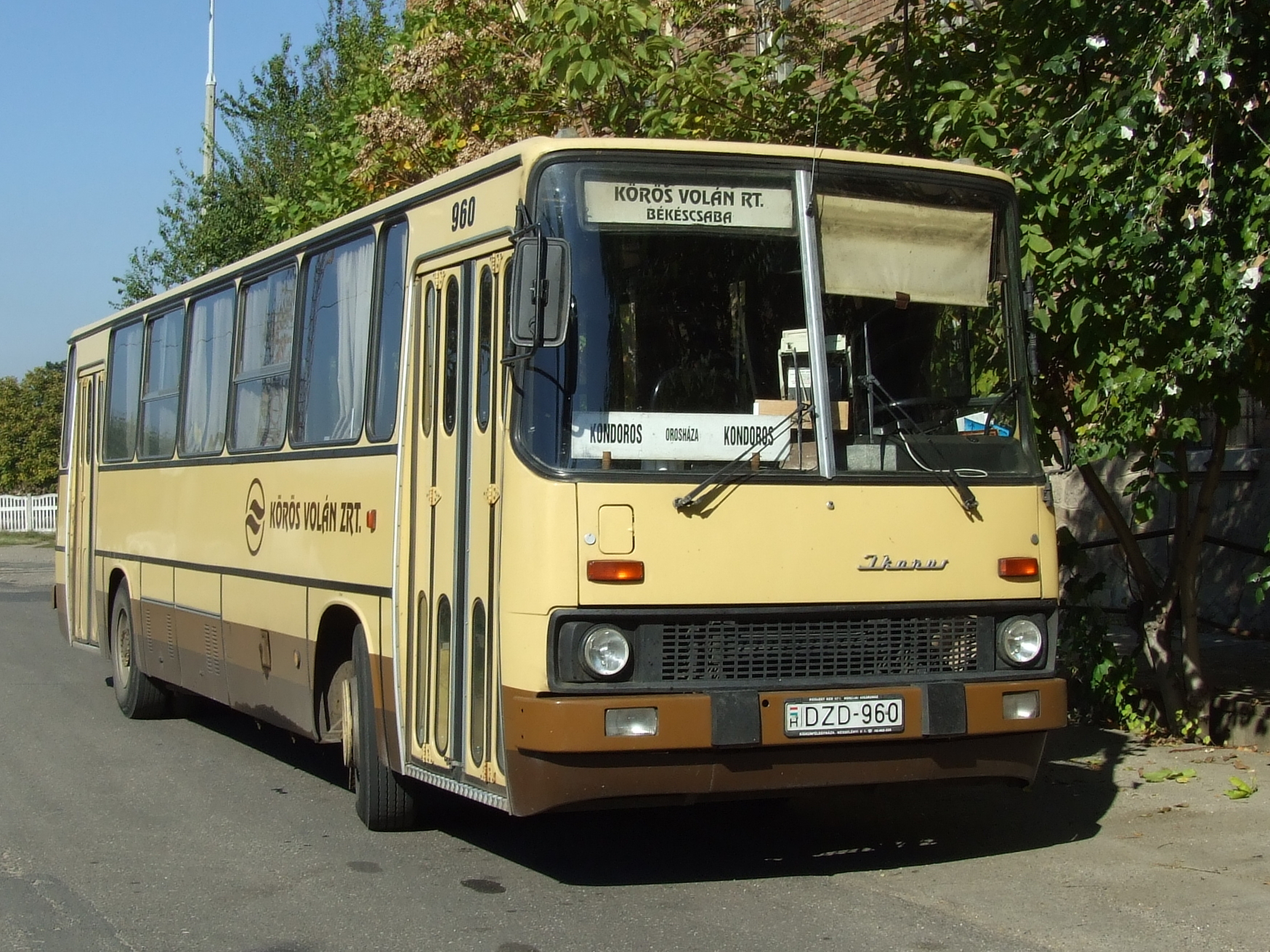
DZD-960
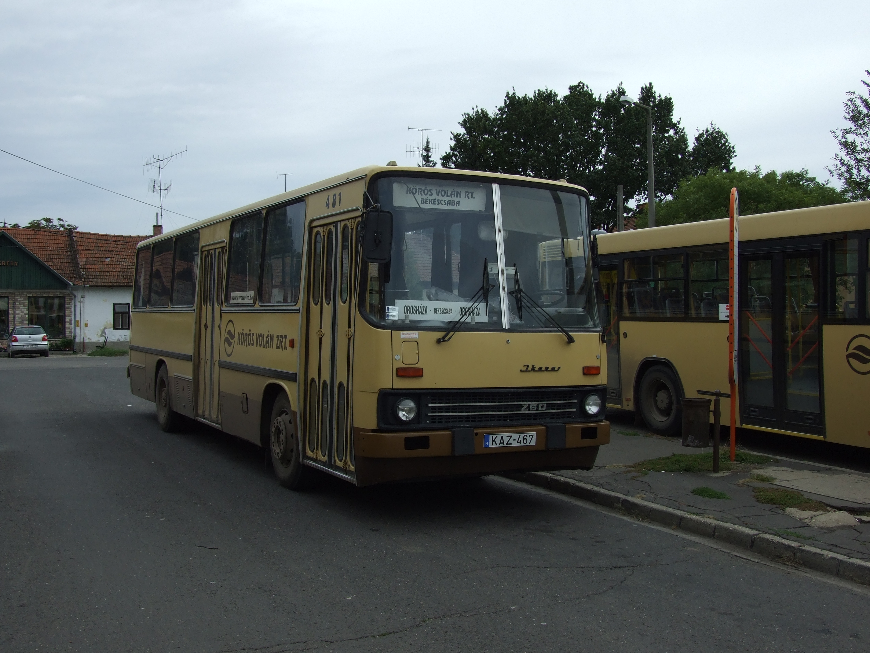
KAZ-467

Picture 2410

Szemenyei Zoltan Liszkai Aniko

Clock tower

Similar but different
2015-10-27 09.28.42
2015-10-27 09.33.25
2015-10-27 11.03.12

2015-10-27 14.16.17
Topographic Map of Gerendás, Dózsa György u. 21, Hungary
Find elevation by address:

Places near Gerendás, Dózsa György u. 21, Hungary:
Gerendás
Kétsoprony
Orosházai
Kondoros
Békés County
Orosháza
Kisszénás
Békéscsaba
Kiss Ernő U. 79
Szentetornya
Csabacsűd
Gyoma
Gyomaendrőd
Szarvas
Mezőtúr, VIII. u. 2, Hungary
Mezőtúr
Mezőtúri
Hódmezővásárhely
Kunszentmárton
Kisújszállás
Recent Searches:
- Elevation of Spaceport America, Co Rd A, Truth or Consequences, NM, USA
- Elevation of Warwick, RI, USA
- Elevation of Fern Rd, Whitmore, CA, USA
- Elevation of 62 Abbey St, Marshfield, MA, USA
- Elevation of Fernwood, Bradenton, FL, USA
- Elevation of Felindre, Swansea SA5 7LU, UK
- Elevation of Leyte Industrial Development Estate, Isabel, Leyte, Philippines
- Elevation of W Granada St, Tampa, FL, USA
- Elevation of Pykes Down, Ivybridge PL21 0BY, UK
- Elevation of Jalan Senandin, Lutong, Miri, Sarawak, Malaysia