Elevation of Gerendás, Hungary
Location: Hungary > Békés County > Orosházai >
Longitude: 20.8593687
Latitude: 46.5969212
Elevation: 90m / 295feet
Barometric Pressure: 100KPa
Elevation Map:
Satellite Map:
Related Photos:

No. 35606

No. 8598

No. 10319

No. 10374

No. 10195
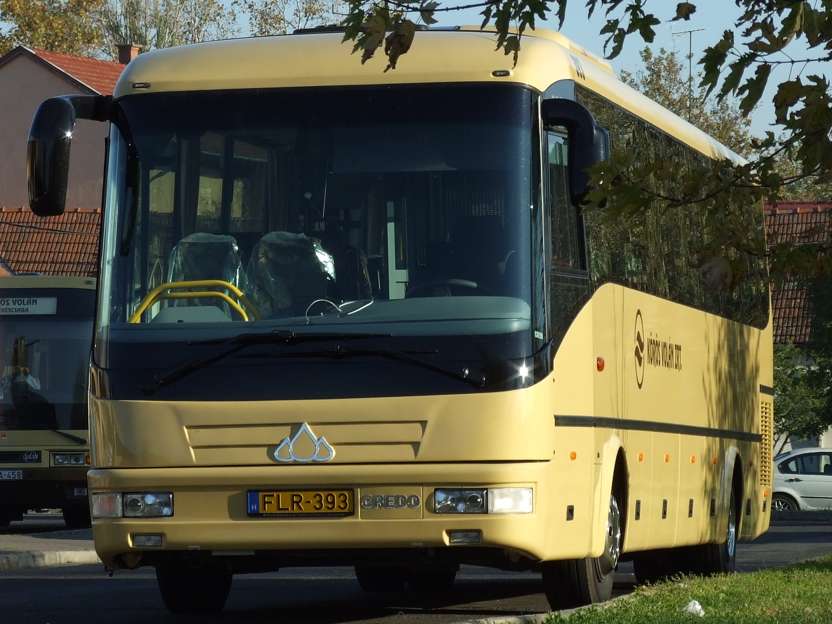
FLR-393
All Photos-6472
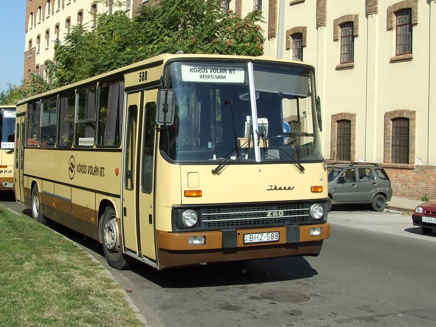
BHZ-588
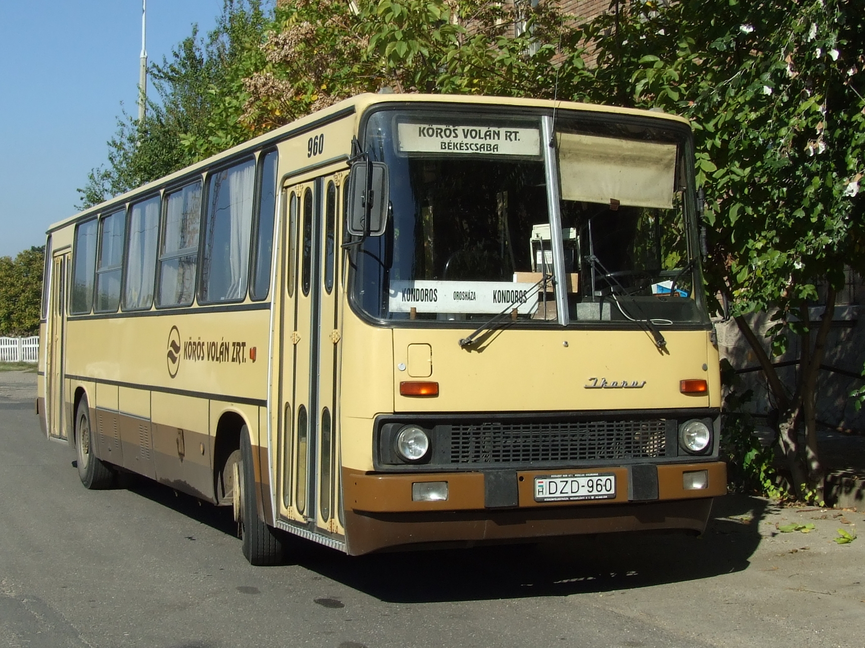
DZD-960
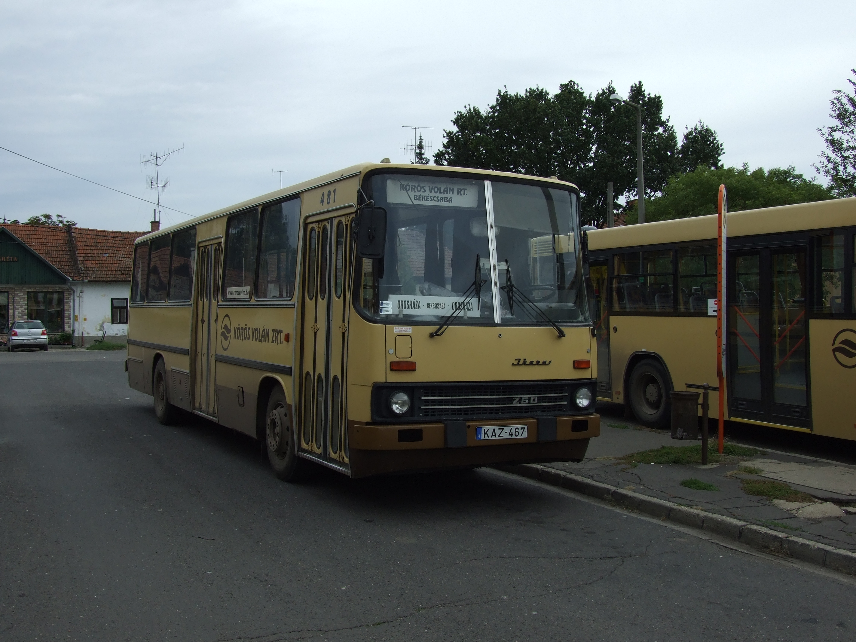
KAZ-467

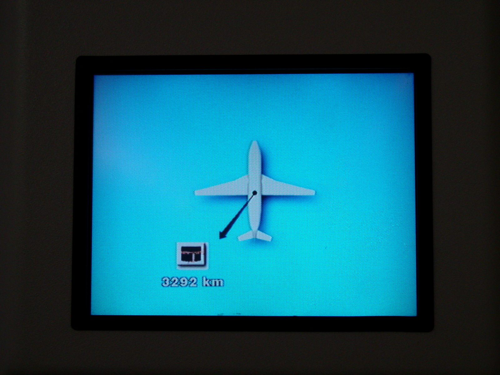
Picture 2410

Szemenyei Zoltan Liszkai Aniko

Clock tower

Similar but different
2015-10-27 09.28.42
2015-10-27 09.33.25
2015-10-27 11.03.12

2015-10-27 14.16.17

KWX-471

KBK-841

HGR-754

GTZ-437

GMY-357
The way to Mecca
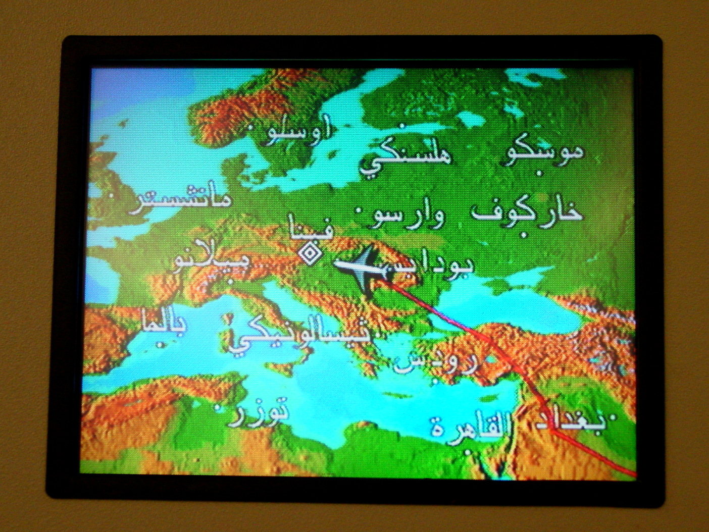
Europe in Arabic script
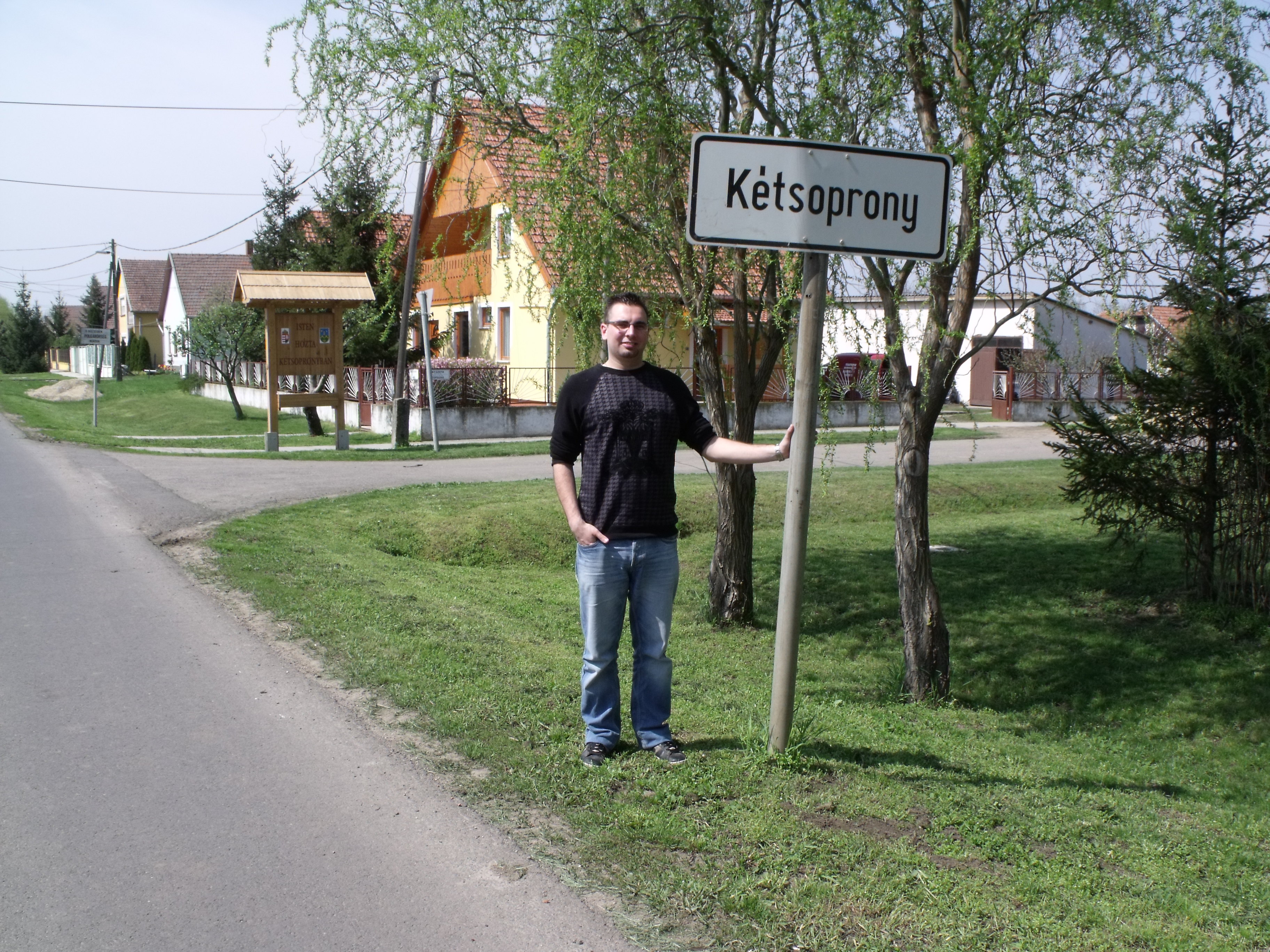
Kétsoprony
Topographic Map of Gerendás, Hungary
Find elevation by address:

Places in Gerendás, Hungary:
Places near Gerendás, Hungary:
Gerendás, Dózsa György u. 21, Hungary
Kétsoprony
Orosházai
Kondoros
Békés County
Orosháza
Kisszénás
Békéscsaba
Kiss Ernő U. 79
Szentetornya
Csabacsűd
Gyoma
Gyomaendrőd
Szarvas
Mezőtúr, VIII. u. 2, Hungary
Mezőtúr
Mezőtúri
Hódmezővásárhely
Kunszentmárton
Kisújszállás
Recent Searches:
- Elevation of Pykes Down, Ivybridge PL21 0BY, UK
- Elevation of Jalan Senandin, Lutong, Miri, Sarawak, Malaysia
- Elevation of Bilohirs'k
- Elevation of 30 Oak Lawn Dr, Barkhamsted, CT, USA
- Elevation of Luther Road, Luther Rd, Auburn, CA, USA
- Elevation of Unnamed Road, Respublika Severnaya Osetiya — Alaniya, Russia
- Elevation of Verkhny Fiagdon, North Ossetia–Alania Republic, Russia
- Elevation of F. Viola Hiway, San Rafael, Bulacan, Philippines
- Elevation of Herbage Dr, Gulfport, MS, USA
- Elevation of Lilac Cir, Haldimand, ON N3W 2G9, Canada