Elevation of Gayndah QLD, Australia
Location: Australia > Queensland > North Burnett Regional >
Longitude: 151.606226
Latitude: -25.629701
Elevation: 122m / 400feet
Barometric Pressure: 100KPa
Elevation Map:
Satellite Map:
Related Photos:
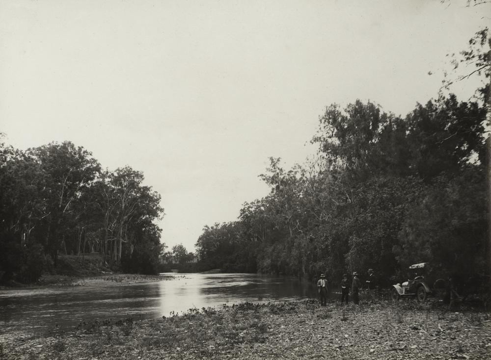
Burnett River crossing at Dalgangal, 1922
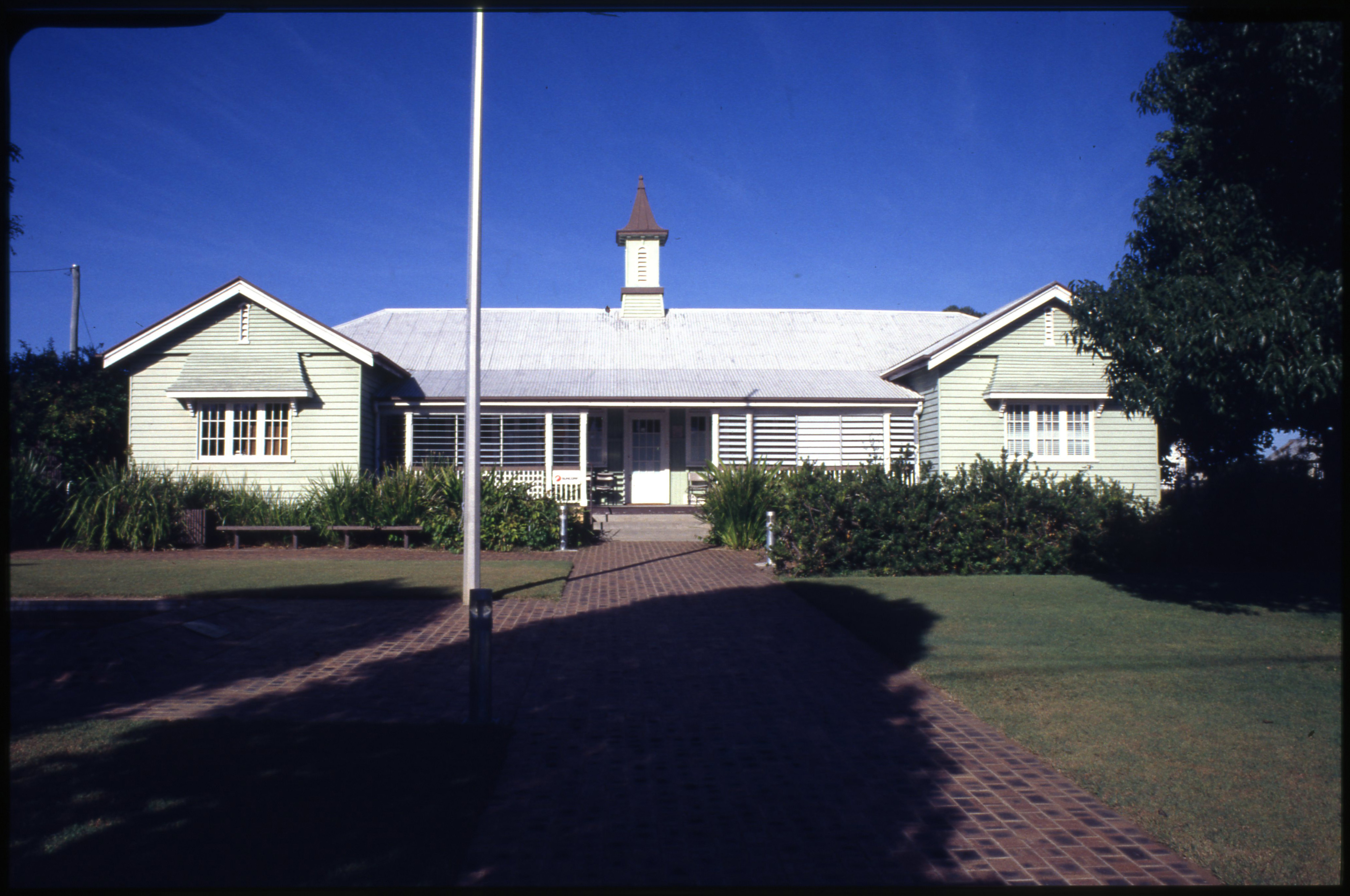
Gayndah Court House
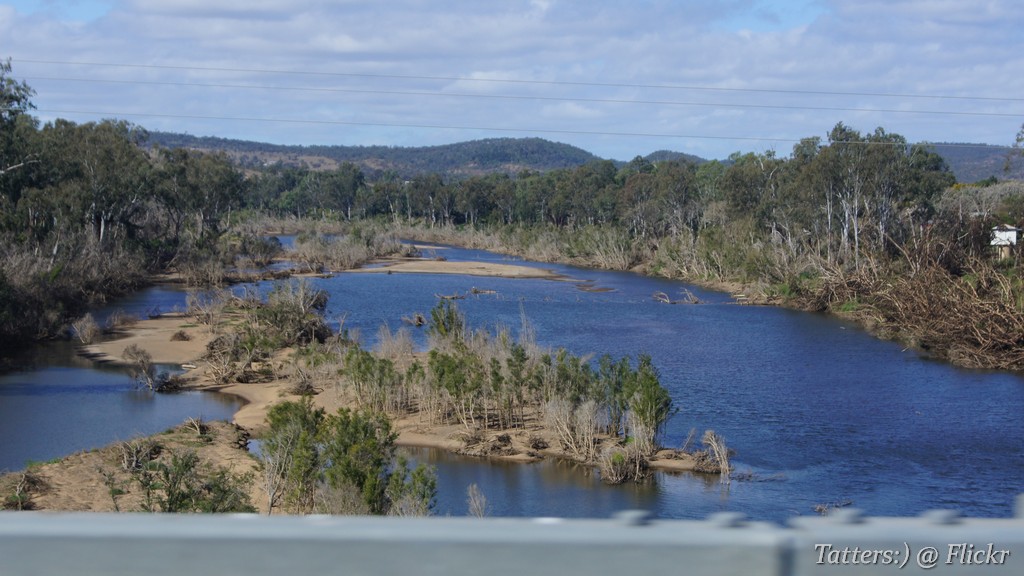
Crossing Burnett River at Gayndah
2013-07-06-0716

Lungfish caught - Gayndah, QLD, Australia, 2015.

Fishing - Gayndah, QLD, Australia, 2015.
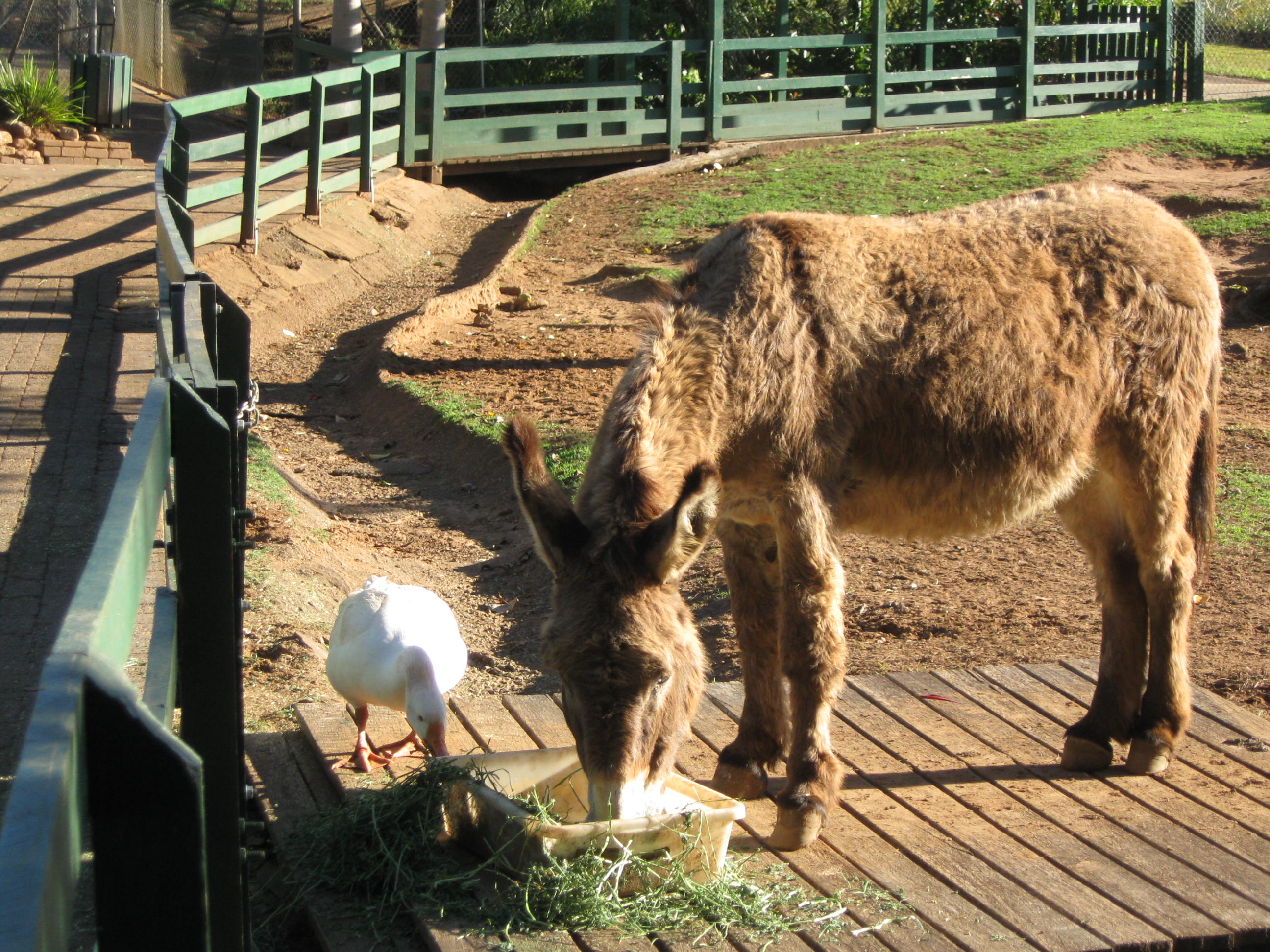
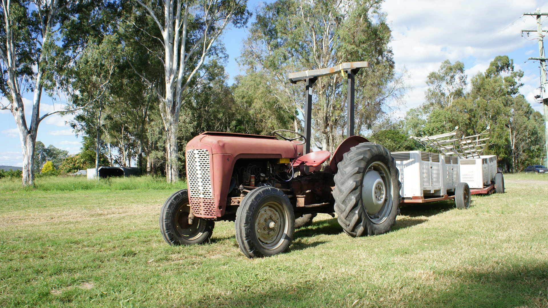
strange friends.
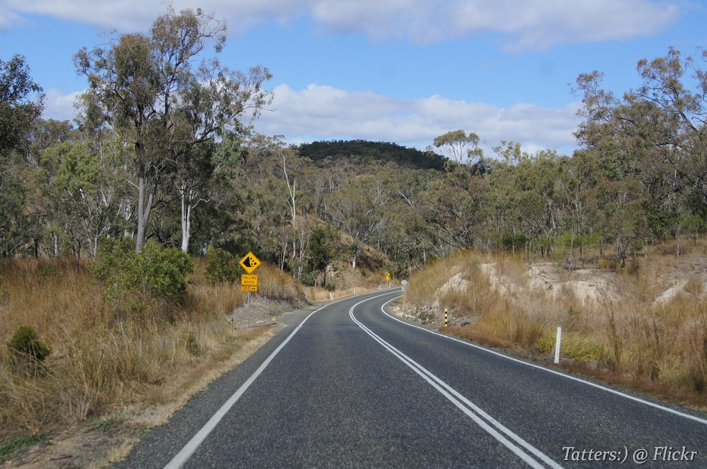
Burnett HWY (see on the map)
Topographic Map of Gayndah QLD, Australia
Find elevation by address:

Places near Gayndah QLD, Australia:
North Burnett Regional
Eidsvold
12 Slaters Rd
Wondai
South Burnett Regional
7 Taylors Rd
Kingaroy
4 Kearney St
21 Boonenne Ellesmere Rd
Taabinga
Recent Searches:
- Elevation of Erika Dr, Windsor, CA, USA
- Elevation of Village Ln, Finleyville, PA, USA
- Elevation of 24 Oakland Rd #, Scotland, ON N0E 1R0, Canada
- Elevation of Deep Gap Farm Rd E, Mill Spring, NC, USA
- Elevation of Dog Leg Dr, Minden, NV, USA
- Elevation of Dog Leg Dr, Minden, NV, USA
- Elevation of Kambingan Sa Pansol Atbp., Purok 7 Pansol, Candaba, Pampanga, Philippines
- Elevation of Pinewood Dr, New Bern, NC, USA
- Elevation of Mountain View, CA, USA
- Elevation of Foligno, Province of Perugia, Italy