Elevation of Gatesville, NC, USA
Location: United States > North Carolina > Gates County >
Longitude: -76.745195
Latitude: 36.4373521
Elevation: 10m / 33feet
Barometric Pressure: 101KPa
Elevation Map:
Satellite Map:
Related Photos:

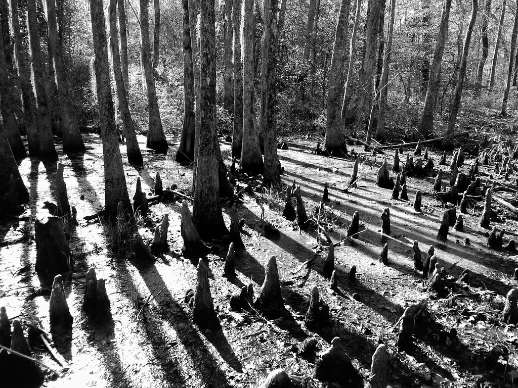
Paddling out

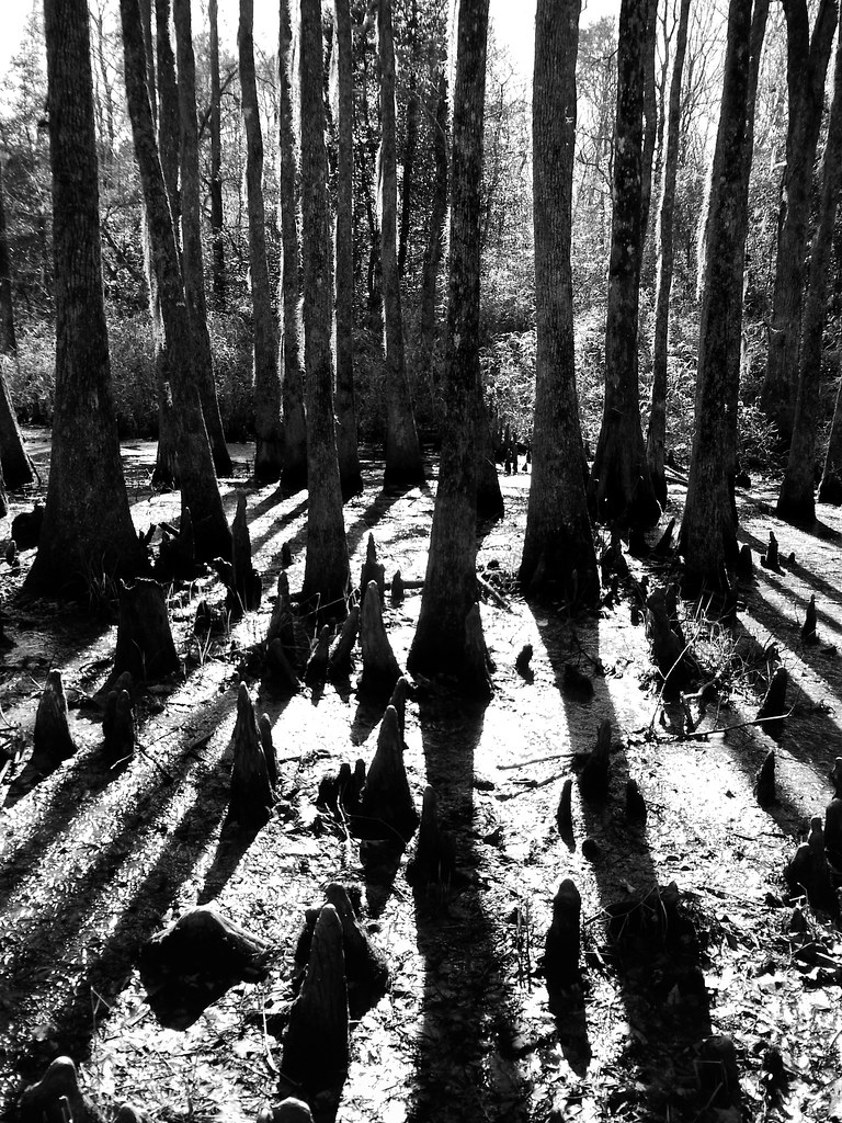
almost perfect

Farm Land

Waking up and getting up has never been easy
04-03-13 301
04-03-13 302

Friday campsite

06-05-13 331

06-05-13 332

Wildflowers after burn
Topographic Map of Gatesville, NC, USA
Find elevation by address:

Places in Gatesville, NC, USA:
Places near Gatesville, NC, USA:
402 Main St
400 Main St
Gatesville
200 Court St
Hackley Rd, Gates, NC, USA
16 US-, Gatesville, NC, USA
Hwy St, Madison, NC, USA
Gates County
458 Rooks Rd
NC-37, Gates, NC, USA
Gates
1041 Nc-37
668 Rooks Rd
152 Tuggie Eure Rd
194 Water Swamp Rd
Haslett
Hall
Drum Hill Rd, Gates, NC, USA
Drum Hill
Smith Road
Recent Searches:
- Elevation of 24 Oakland Rd #, Scotland, ON N0E 1R0, Canada
- Elevation of Deep Gap Farm Rd E, Mill Spring, NC, USA
- Elevation of Dog Leg Dr, Minden, NV, USA
- Elevation of Dog Leg Dr, Minden, NV, USA
- Elevation of Kambingan Sa Pansol Atbp., Purok 7 Pansol, Candaba, Pampanga, Philippines
- Elevation of Pinewood Dr, New Bern, NC, USA
- Elevation of Mountain View, CA, USA
- Elevation of Foligno, Province of Perugia, Italy
- Elevation of Blauwestad, Netherlands
- Elevation of Bella Terra Blvd, Estero, FL, USA