Elevation of Gariepdam, South Africa
Location: South Africa > Free State >
Longitude: 25.4944843
Latitude: -30.600835
Elevation: 1368m / 4488feet
Barometric Pressure: 86KPa
Elevation Map:
Satellite Map:
Related Photos:
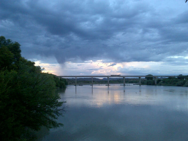
December Holiday_2012

December Holiday_2012
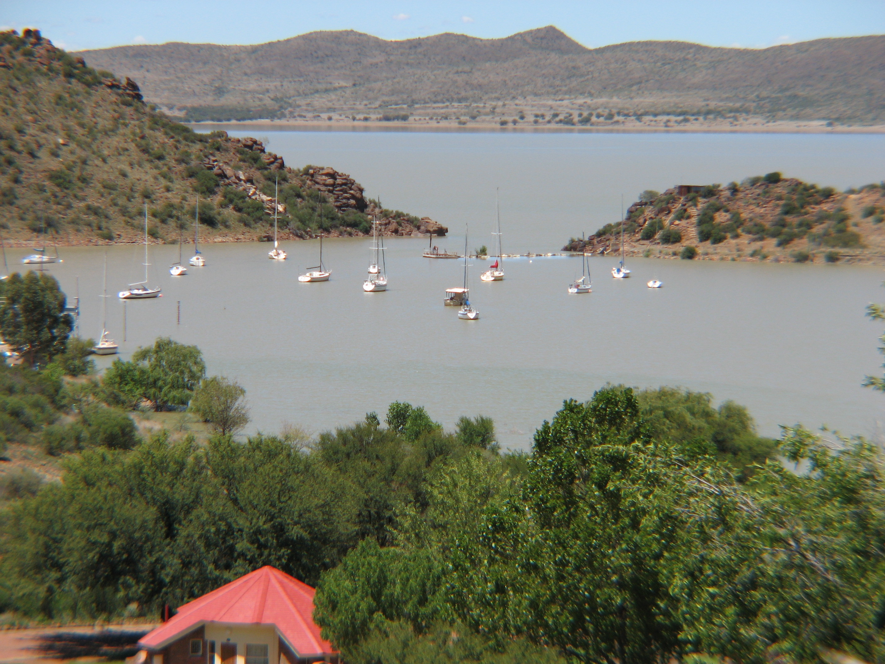
boat harbour gariep
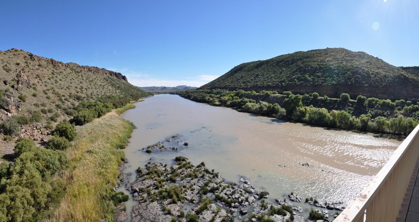
Gariep Dam - Panorama
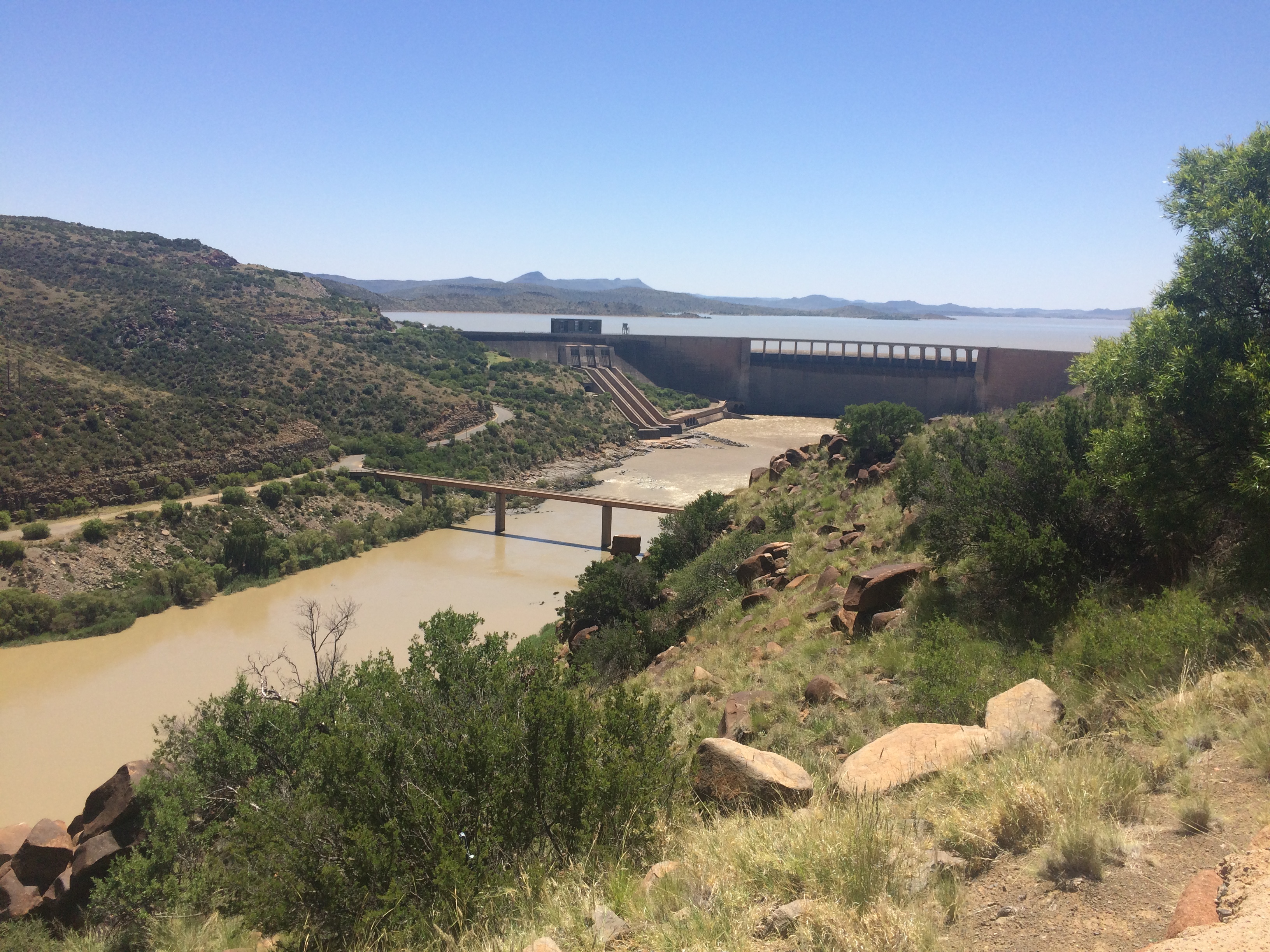
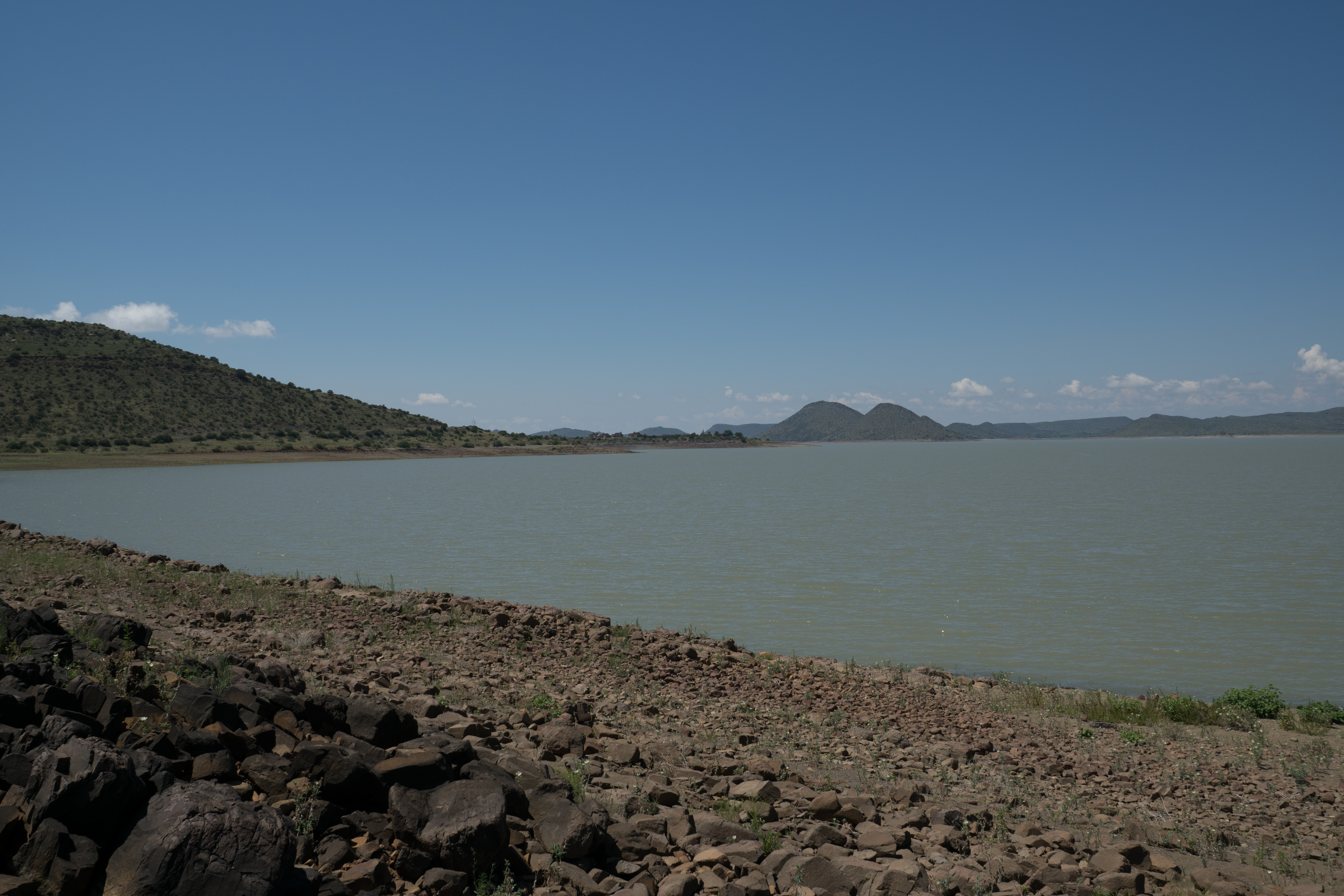
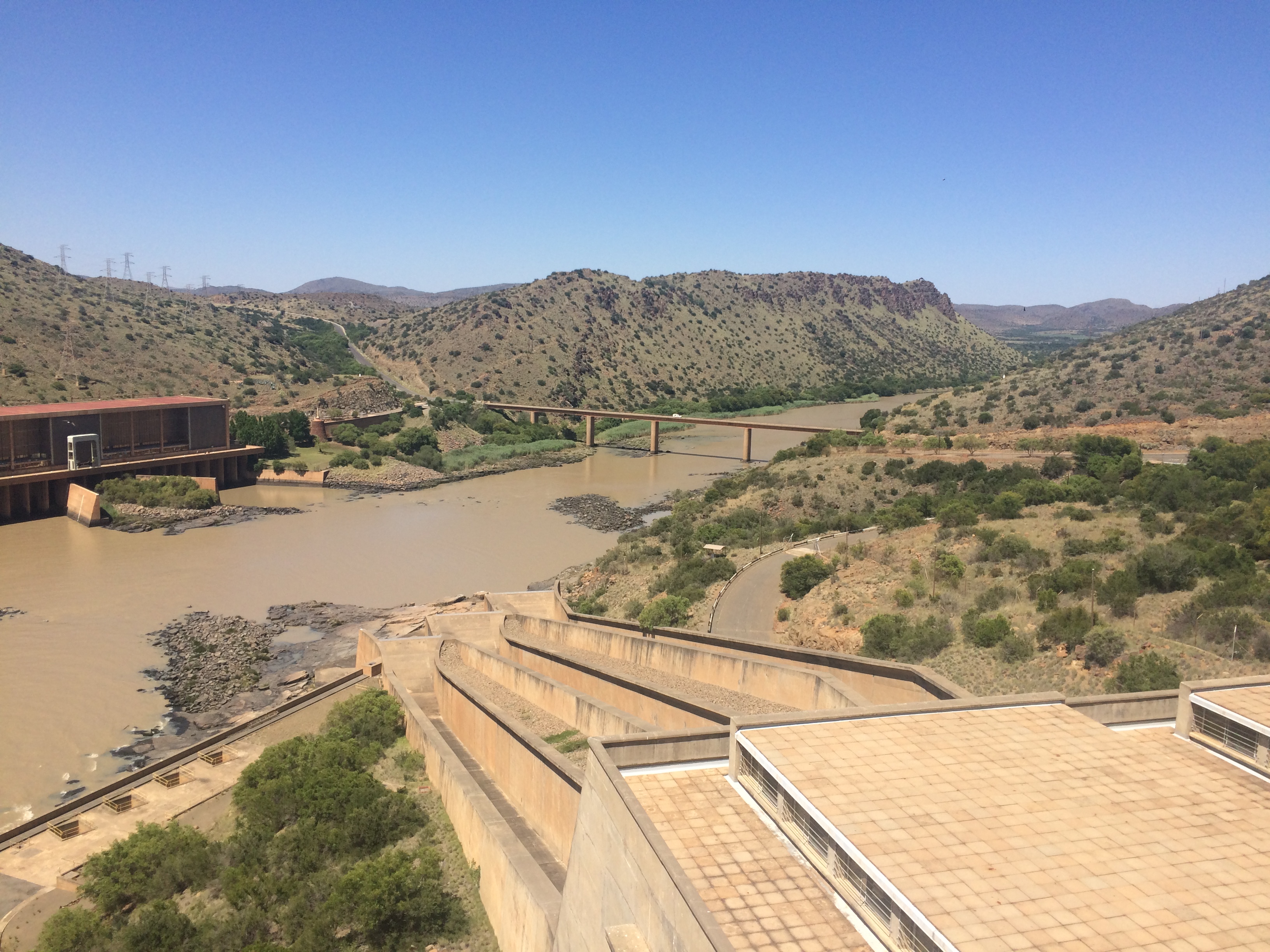
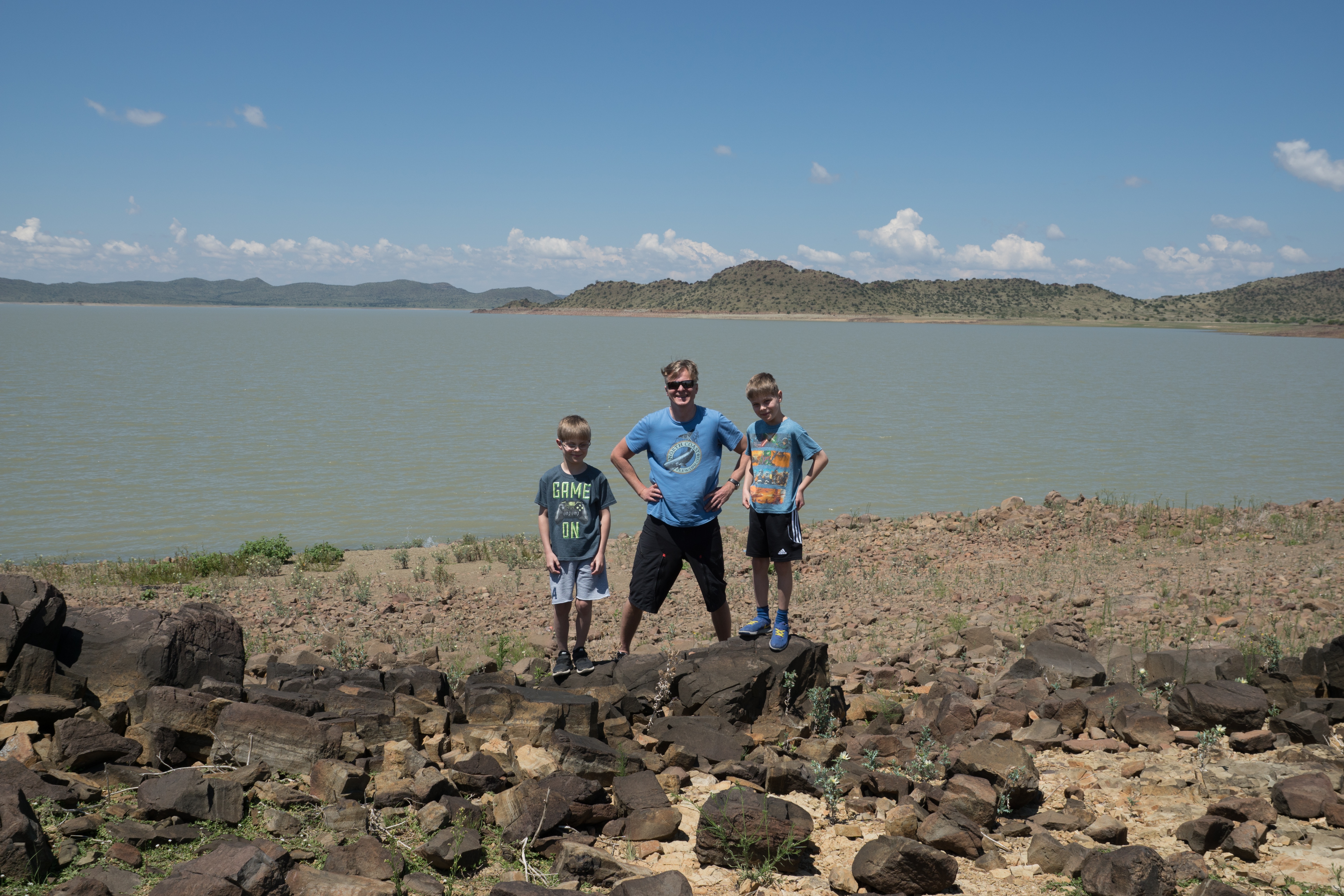
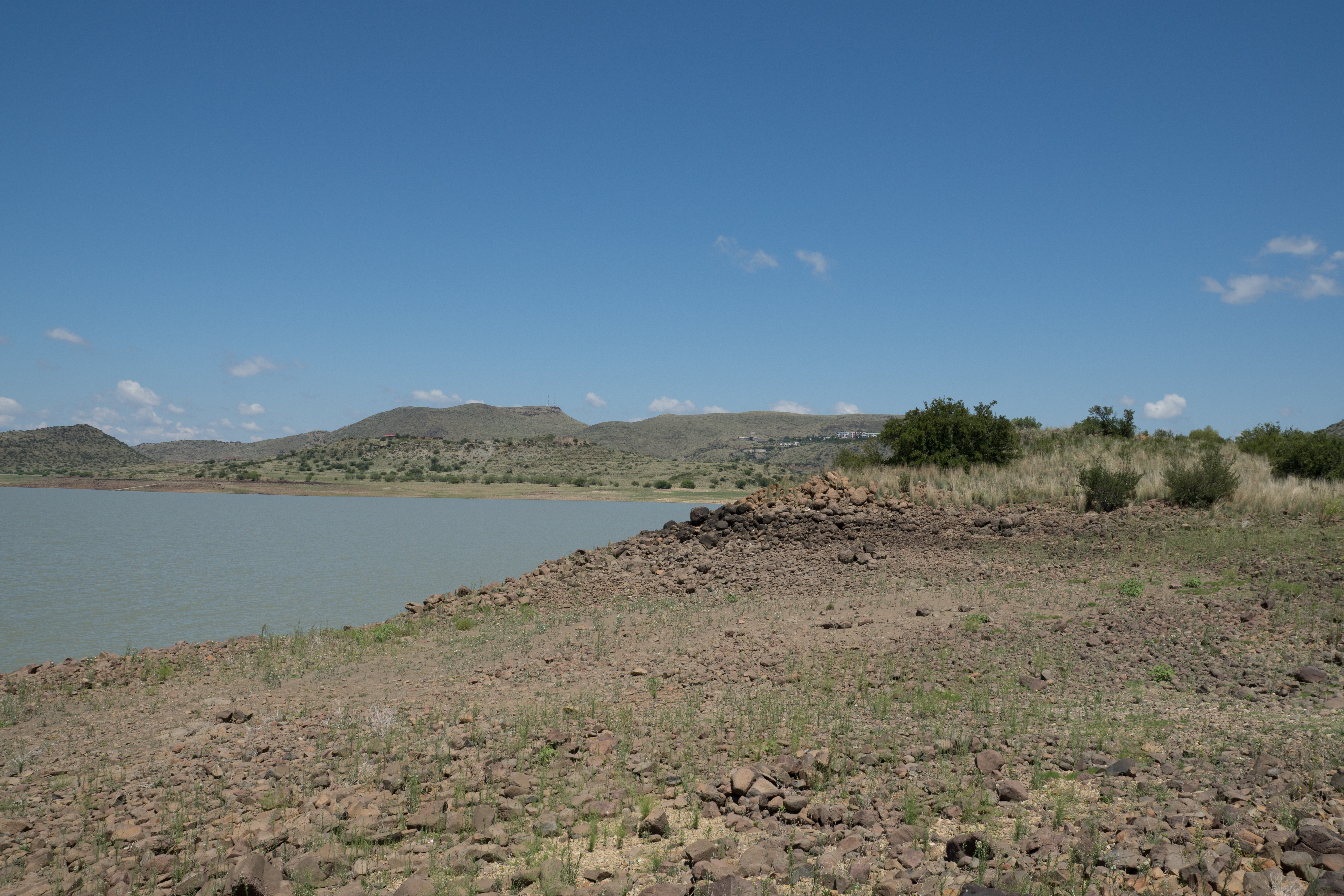
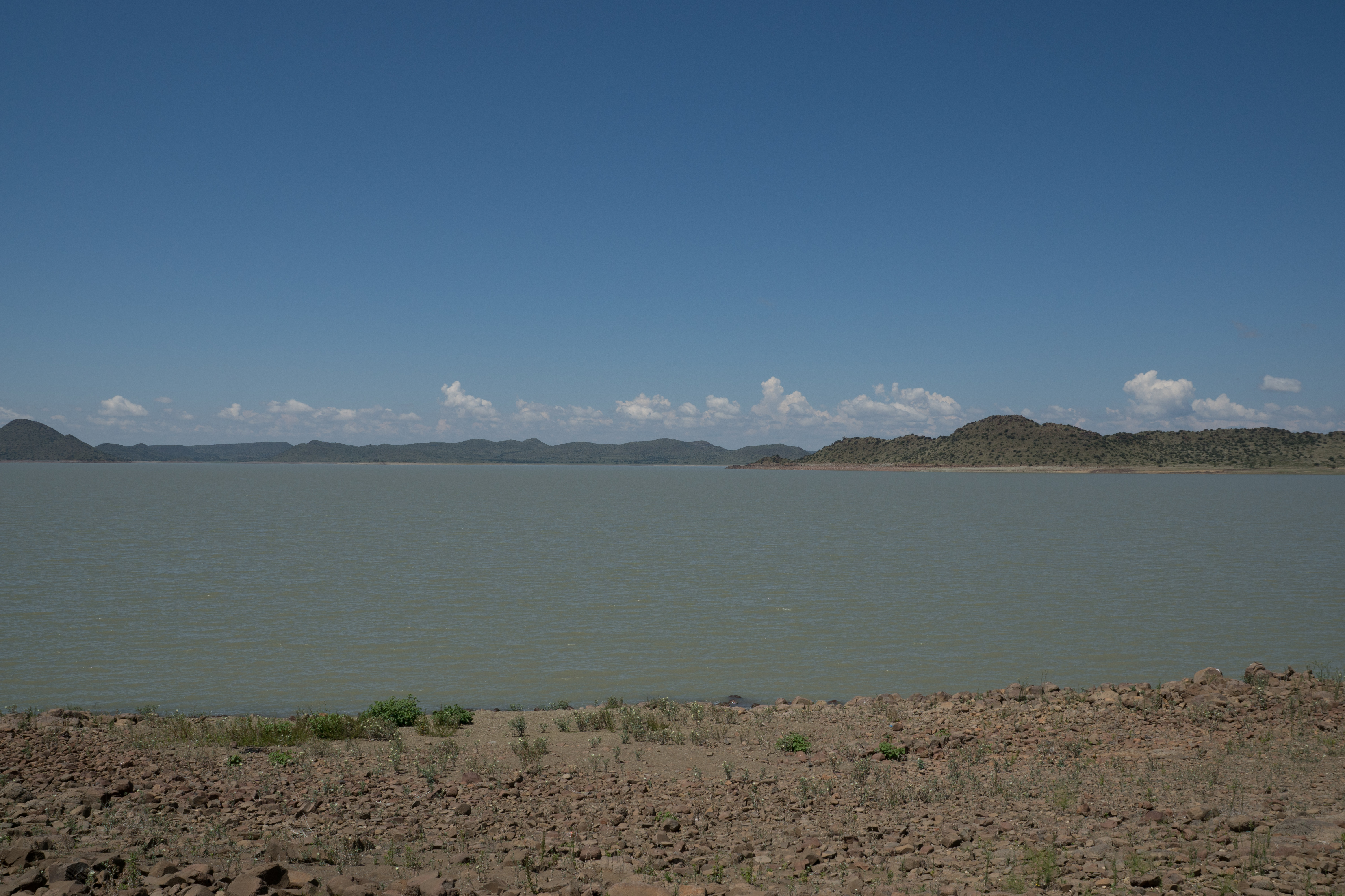
Gariep Dam
DSC04283.jpg

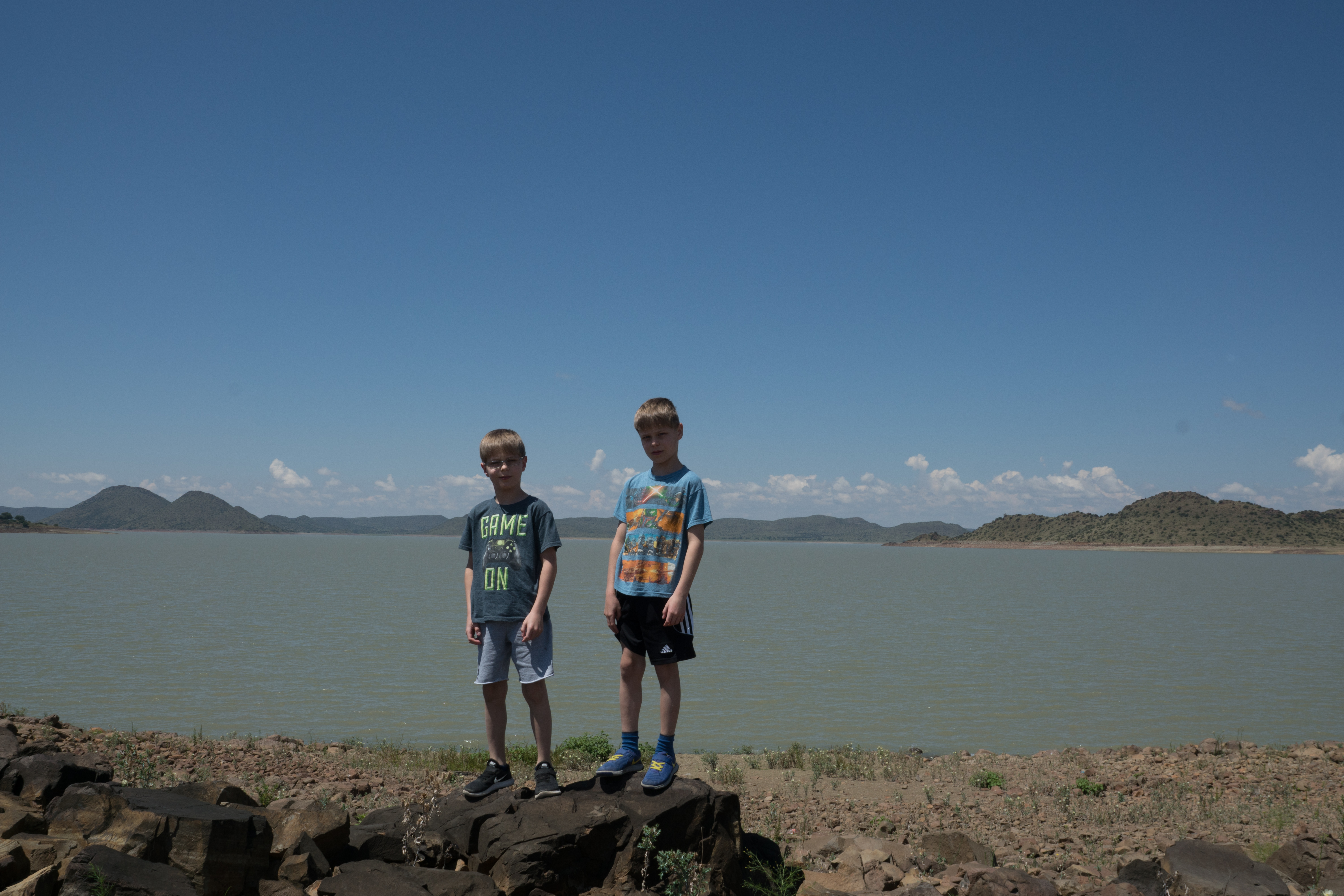
Gariep Dam

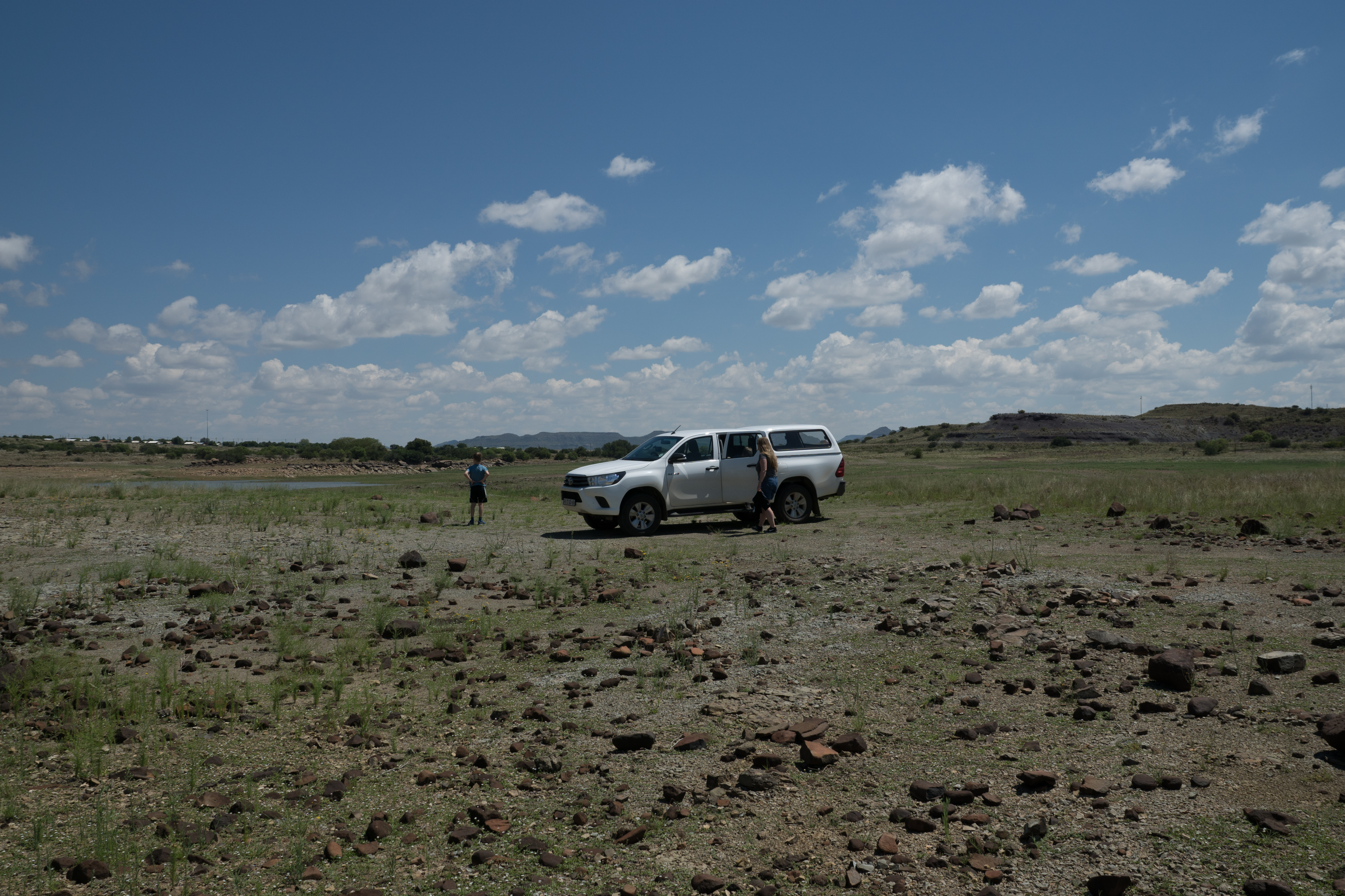
Gariep Dam

Gariep Dam

Gariep Dam
Gariep Dam

Gariep Dam

Gariep Dam
DSC04291.jpg
DSC04285.jpg
DSC04284.jpg
DSC04287.jpg
DSC04286.jpg
Topographic Map of Gariepdam, South Africa
Find elevation by address:

Places near Gariepdam, South Africa:
Recent Searches:
- Elevation of Hanson Rd, Cedaredge, CO, USA
- Elevation of Maxine St NE, Albuquerque, NM, USA
- Elevation of Blattner Rd, Philo, CA, USA
- Elevation of Polzela, Slovenia
- Elevation of Gorod Kislovodsk, Stavropol Krai, Russia
- Elevation of Kislovodsk, Stavropol Krai, Russia
- Elevation of Eagle Stone Drive, Eagle Stone Dr, The Preserve at Corkscrew, FL, USA
- Elevation of Formby Ct, Myrtle Beach, SC, USA
- Elevation of Hobbyhorse Ct, Dover, DE, USA
- Elevation of Horseshoe Ln, Dahlonega, GA, USA