Elevation of Bethulie, South Africa
Location: South Africa > Free State > Xhariep >
Longitude: 25.9822747
Latitude: -30.511242
Elevation: -10000m / -32808feet
Barometric Pressure: 295KPa
Elevation Map:
Satellite Map:
Related Photos:

Bethulie

#Bethulie dam wall
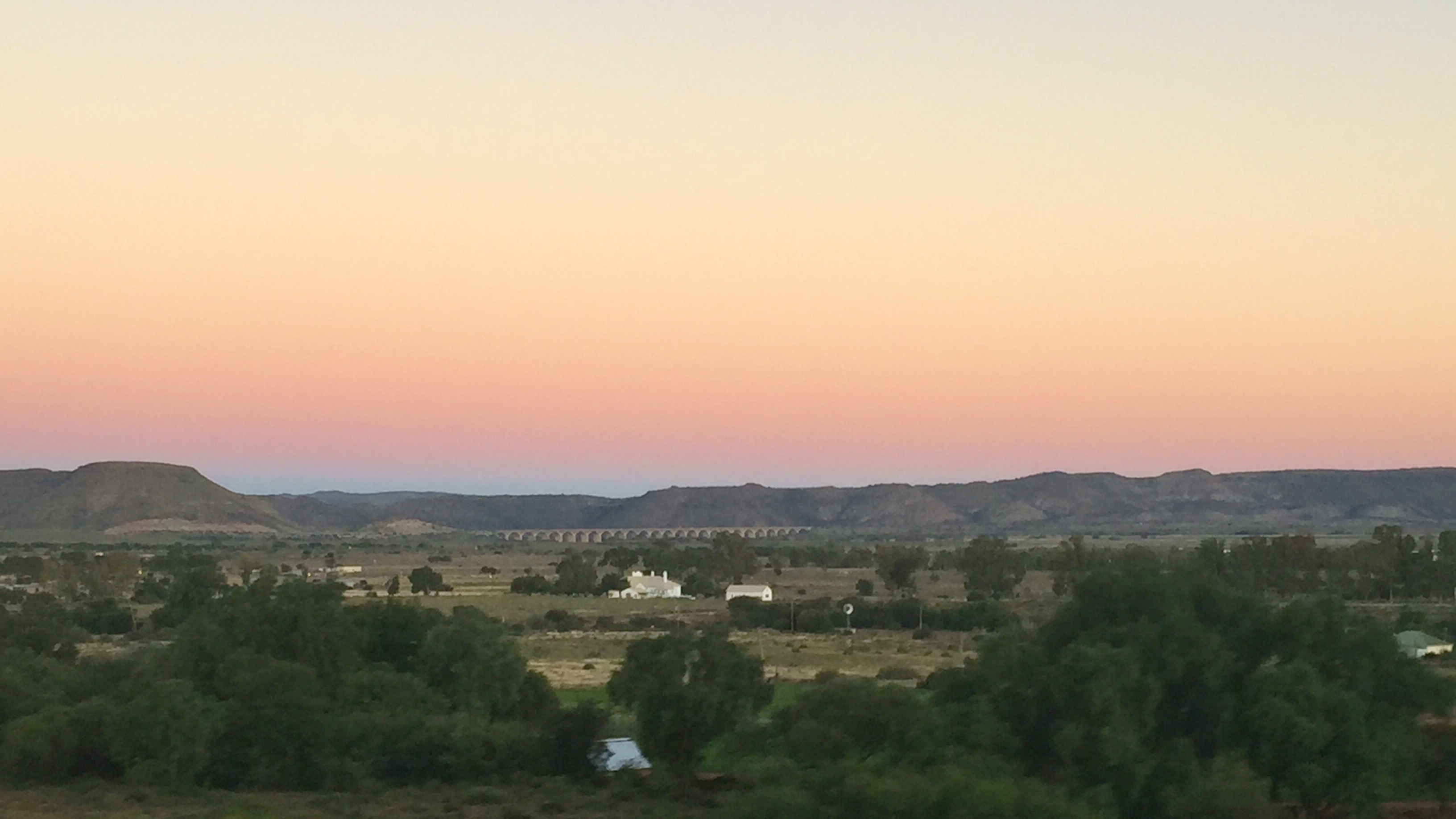
Sunset aboard the train to Johannesburg

Jaco Wessels Photography

Gedenkmuur.Bethulie Konsentrasiekamp Kerkhof - Panorama

Bethulie Konsentrasiekamp Kerkhof - Panorama

Tussen die Riviere - Panorama
Topographic Map of Bethulie, South Africa
Find elevation by address:

Places near Bethulie, South Africa:
Recent Searches:
- Elevation of W S, Orem, UT, USA
- Elevation of Water Bird Wy, Punta Gorda, FL, USA
- Elevation of Teiskontie 8, Tampere, Finland
- Elevation of Pacific View Dr, Malibu, CA, USA
- Elevation of Thorpe Cir, Thousand Oaks, CA, USA
- Elevation of Eldorado do Sul - RS, Brazil
- Elevation of Eldorado do Sul - Parque Eldorado, Eldorado do Sul - RS, -, Brazil
- Elevation of 35 Governors Ln, Hilton Head Island, SC, USA
- Elevation of Orangevale, CA, USA
- Elevation of Doe Cir, Clinton, OH, USA