Elevation of Garfield Ave, Gowrie, IA, USA
Location: United States > Iowa > Webster County >
Longitude: -94.287511
Latitude: 42.2207549
Elevation: 345m / 1132feet
Barometric Pressure: 97KPa
Elevation Map:
Satellite Map:
Related Photos:
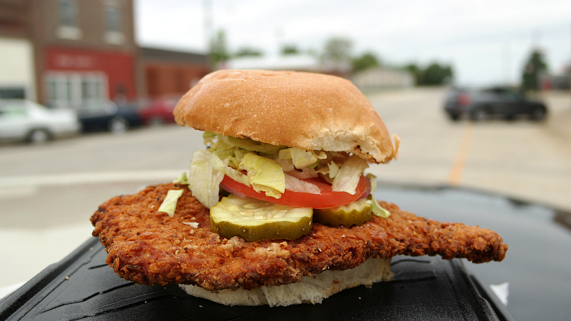
Breaded Pork Tenderloin Sandwich from 209 Main Bar in Paton, Iowa
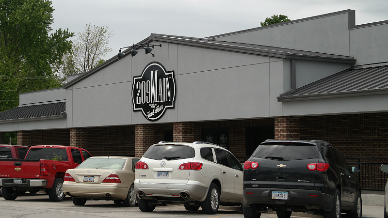
209 Main Bar in Paton, Iowa
DSC_1356
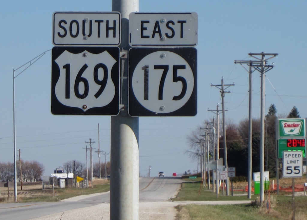
Three-digit multiplex
Topographic Map of Garfield Ave, Gowrie, IA, USA
Find elevation by address:

Places near Garfield Ave, Gowrie, IA, USA:
Roland
Garfield Ave, Farnhamville, IA, USA
Farnhamville
618 Williams St
Callender
th St, Farnhamville, IA, USA
Baxter Ave, Gowrie, IA, USA
Reading
Fulton
Cedar
1st St, Moorland, IA, USA
Main St, Moorland, IA, USA
Moorland
1637 230th St
th St, Barnum, IA, USA
1250 Xenia Ave
Barnum
Front St, Barnum, IA, USA
th St, Rockwell City, IA, USA
Logan
Recent Searches:
- Elevation of Corso Fratelli Cairoli, 35, Macerata MC, Italy
- Elevation of Tallevast Rd, Sarasota, FL, USA
- Elevation of 4th St E, Sonoma, CA, USA
- Elevation of Black Hollow Rd, Pennsdale, PA, USA
- Elevation of Oakland Ave, Williamsport, PA, USA
- Elevation of Pedrógão Grande, Portugal
- Elevation of Klee Dr, Martinsburg, WV, USA
- Elevation of Via Roma, Pieranica CR, Italy
- Elevation of Tavkvetili Mountain, Georgia
- Elevation of Hartfords Bluff Cir, Mt Pleasant, SC, USA