Elevation of Baxter Ave, Gowrie, IA, USA
Location: United States > Iowa > Webster County > Roland >
Longitude: -94.378282
Latitude: 42.3416075
Elevation: 350m / 1148feet
Barometric Pressure: 97KPa
Elevation Map:
Satellite Map:
Related Photos:
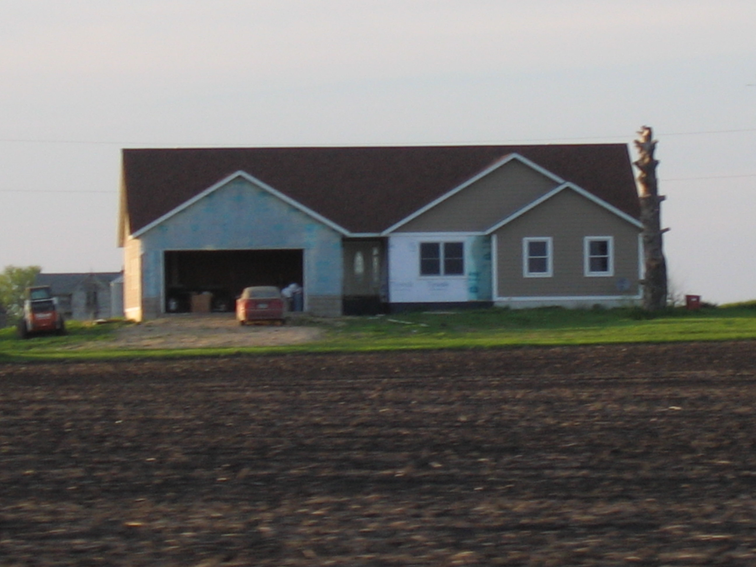
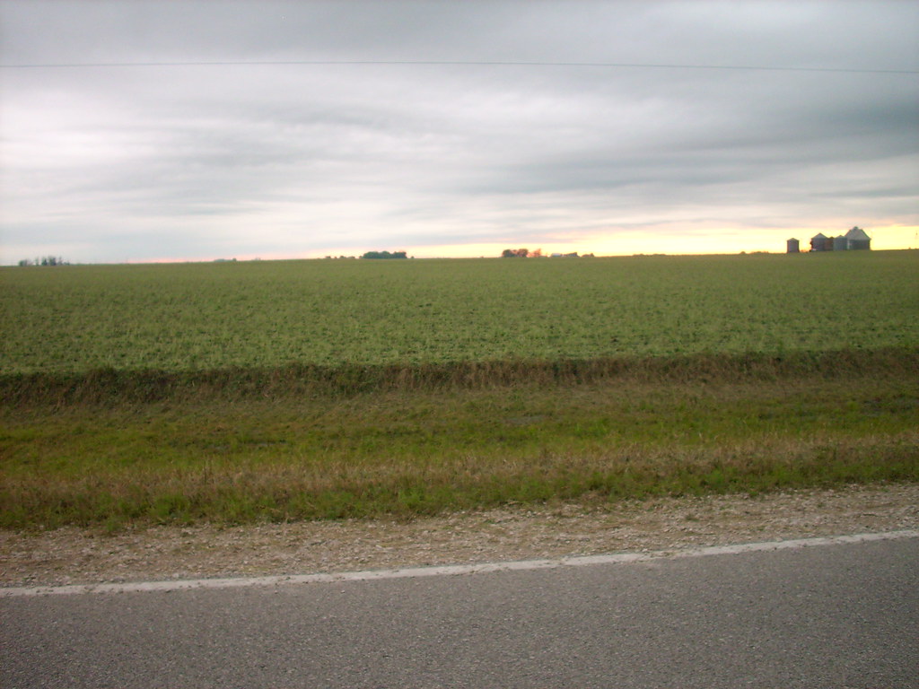
House Across Field
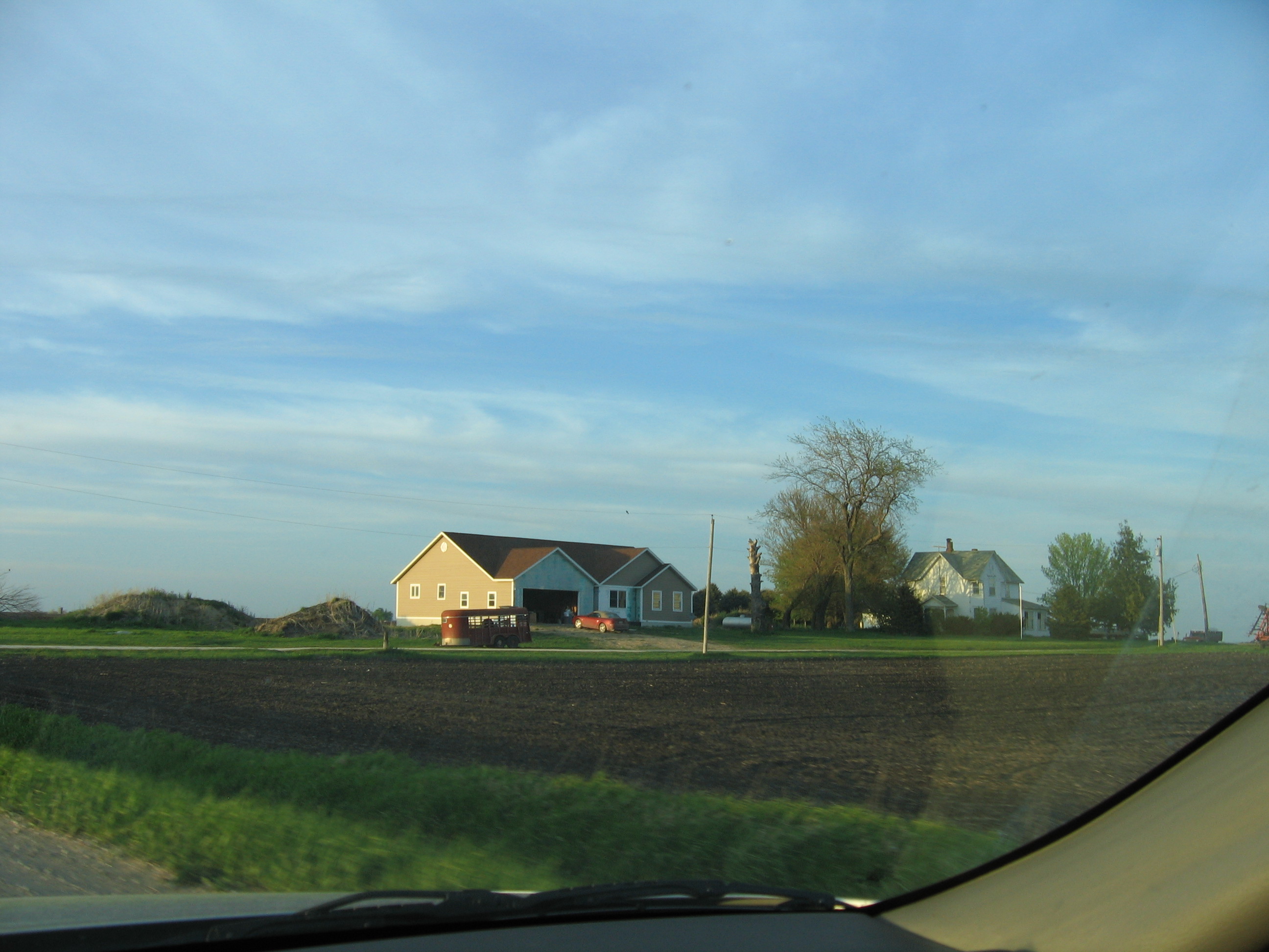
House Across Field 3
Pano Northside Short 1
Pan South Side Front
Pano Northside Short 2
Bean field

Syncronized running

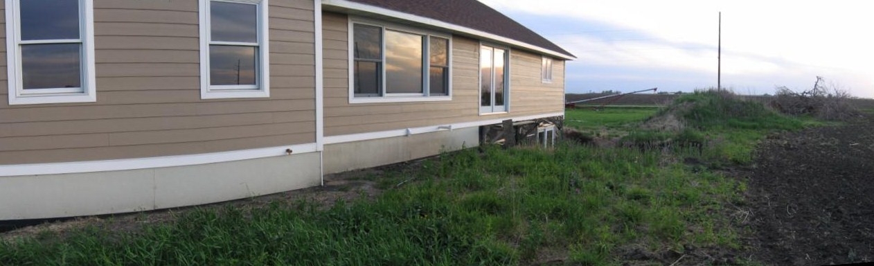
Pan East Side

My Photo Stream-99

My Photo Stream-98
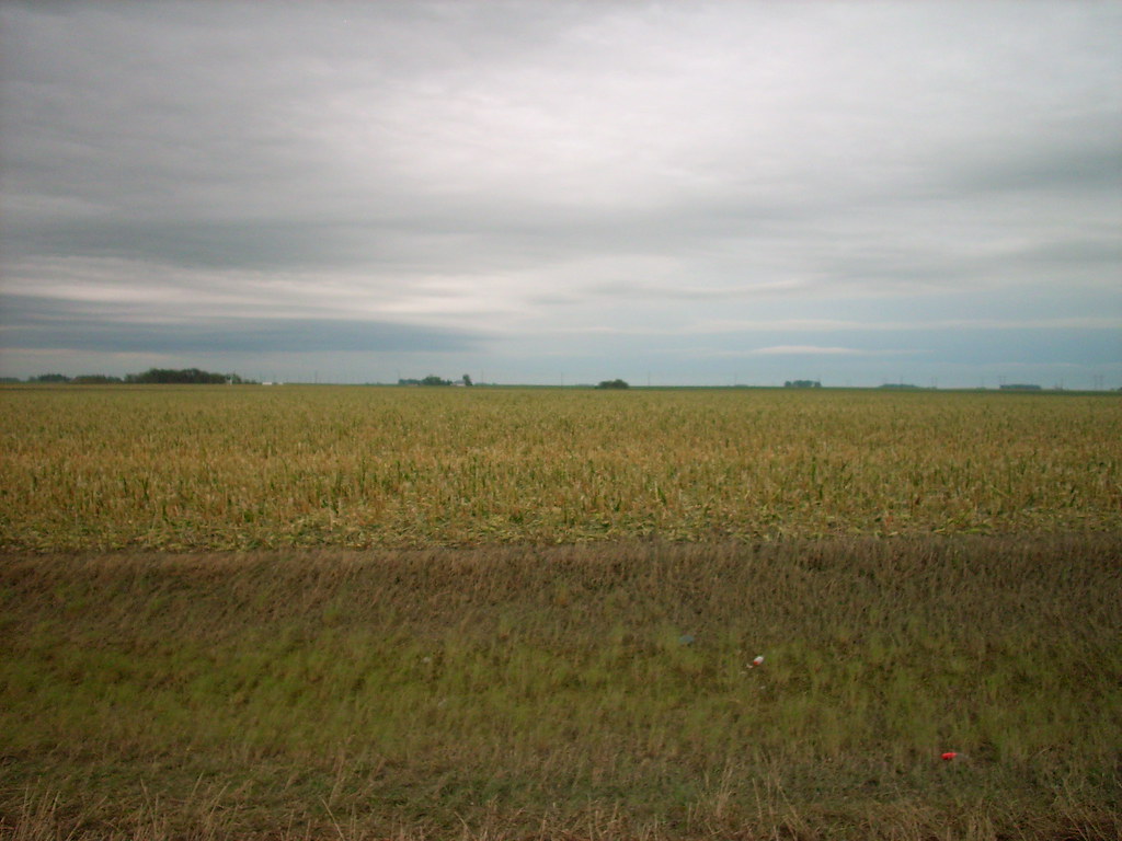
Corn field

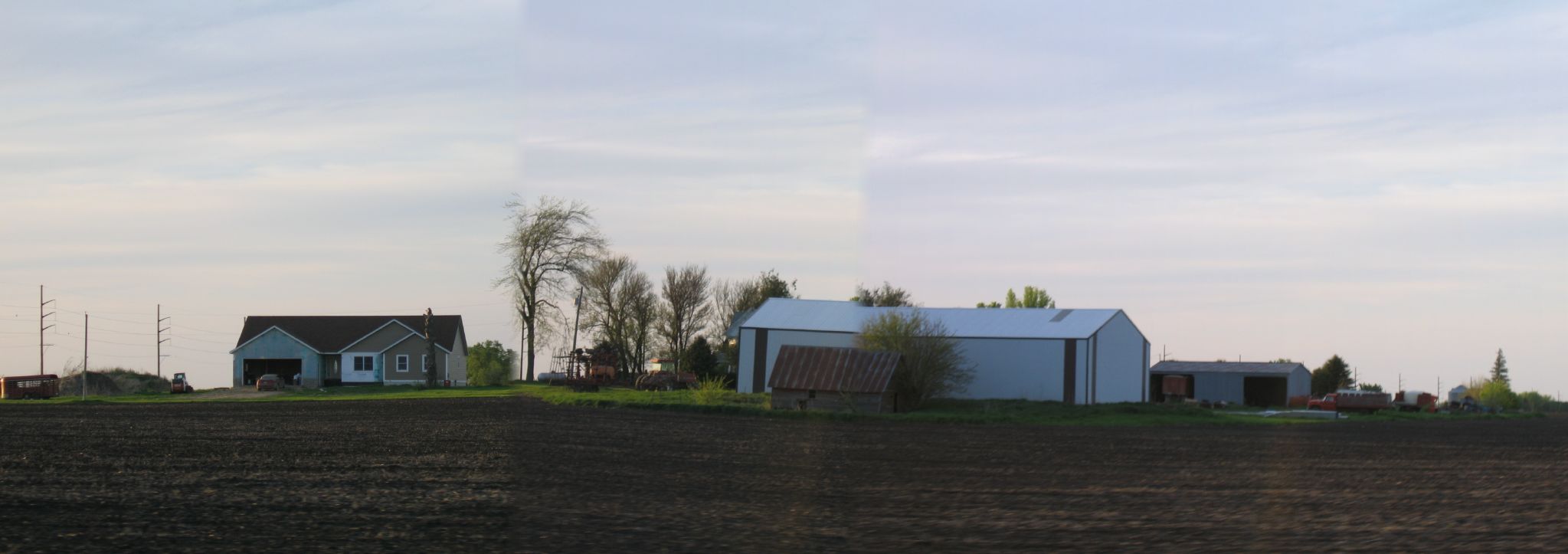
Pan, North Side Cropped
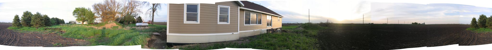
Pan, North Side
Topographic Map of Baxter Ave, Gowrie, IA, USA
Find elevation by address:

Places near Baxter Ave, Gowrie, IA, USA:
th St, Farnhamville, IA, USA
Roland
Garfield Ave, Farnhamville, IA, USA
Farnhamville
1st St, Moorland, IA, USA
Fulton
Cedar
Callender
618 Williams St
Reading
Moorland
Main St, Moorland, IA, USA
th St, Barnum, IA, USA
1250 Xenia Ave
Garfield Ave, Gowrie, IA, USA
1637 230th St
Barnum
Front St, Barnum, IA, USA
Johnson
th St, Rockwell City, IA, USA
Recent Searches:
- Elevation of Congressional Dr, Stevensville, MD, USA
- Elevation of Bellview Rd, McLean, VA, USA
- Elevation of Stage Island Rd, Chatham, MA, USA
- Elevation of Shibuya Scramble Crossing, 21 Udagawacho, Shibuya City, Tokyo -, Japan
- Elevation of Jadagoniai, Kaunas District Municipality, Lithuania
- Elevation of Pagonija rock, Kranto 7-oji g. 8"N, Kaunas, Lithuania
- Elevation of Co Rd 87, Jamestown, CO, USA
- Elevation of Tenjo, Cundinamarca, Colombia
- Elevation of Côte-des-Neiges, Montreal, QC H4A 3J6, Canada
- Elevation of Bobcat Dr, Helena, MT, USA