Elevation of Galugah, Mazandaran Province, Iran
Location: Iran > Mazandaran >
Longitude: 53.8101659
Latitude: 36.7284026
Elevation: 30m / 98feet
Barometric Pressure: 101KPa
Elevation Map:
Satellite Map:
Related Photos:

View 5 km from Naiala top
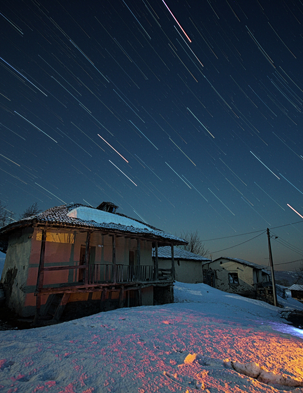
Startrails

Untitled

DSC04668a

DSC04671

Ehsan_20150325_IMG_2208.jpg

#window #jungle #sunny #sunset #asia #iran #mazandaran #mahdirajeh #pazhan #persian #defender #traveling #travel #visit #landroverdefender #pov #pointofview #me #alone
Topographic Map of Galugah, Mazandaran Province, Iran
Find elevation by address:

Places near Galugah, Mazandaran Province, Iran:
Recent Searches:
- Elevation of 72-31 Metropolitan Ave, Middle Village, NY, USA
- Elevation of 76 Metropolitan Ave, Brooklyn, NY, USA
- Elevation of Alisal Rd, Solvang, CA, USA
- Elevation of Vista Blvd, Sparks, NV, USA
- Elevation of 15th Ave SE, St. Petersburg, FL, USA
- Elevation of Beall Road, Beall Rd, Florida, USA
- Elevation of Leguwa, Nepal
- Elevation of County Rd, Enterprise, AL, USA
- Elevation of Kolchuginsky District, Vladimir Oblast, Russia
- Elevation of Shustino, Vladimir Oblast, Russia