Elevation of Bandar Torkaman, Golestan Province, Iran
Location: Iran > Golestan Province >
Longitude: 54.0738979
Latitude: 36.8979986
Elevation: -24m / -79feet
Barometric Pressure: 102KPa
Elevation Map:
Satellite Map:
Related Photos:

Sky on Sea

AshoraDeh-View

---

/\

\./

AshoraDeh / آشوراده

AshoraDeh-(8)

Golestan Wild Boar

Türkmen Toy(Toy=Wedding)

\;/
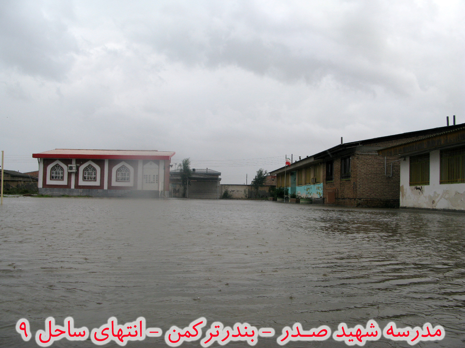
مدرسه غرق شده Sunk Scool after raining.

اســــــــــکله بندرترکمن

ماهیگیران شرکت تعاونی موسوم به پره

#اسکله #بندر_ترکمن #Bandar_Turkman #Golestan #Iran

#ساحل #بندر_ترکمن #گلستان #Bandar_Turkman #coast #Bandare_Turkman #Golestan #Iran
Topographic Map of Bandar Torkaman, Golestan Province, Iran
Find elevation by address:

Places near Bandar Torkaman, Golestan Province, Iran:
Recent Searches:
- Elevation of Sadovaya Ulitsa, 20, Rezh, Sverdlovskaya oblast', Russia
- Elevation of Ulitsa Kalinina, 79, Rezh, Sverdlovskaya oblast', Russia
- Elevation of 72-31 Metropolitan Ave, Middle Village, NY, USA
- Elevation of 76 Metropolitan Ave, Brooklyn, NY, USA
- Elevation of Alisal Rd, Solvang, CA, USA
- Elevation of Vista Blvd, Sparks, NV, USA
- Elevation of 15th Ave SE, St. Petersburg, FL, USA
- Elevation of Beall Road, Beall Rd, Florida, USA
- Elevation of Leguwa, Nepal
- Elevation of County Rd, Enterprise, AL, USA