Elevation of GA-34, Franklin, GA, USA
Location: United States > Georgia > Heard County > Franklin >
Longitude: -85.200154
Latitude: 33.2403038
Elevation: 280m / 919feet
Barometric Pressure: 98KPa
Elevation Map:
Satellite Map:
Related Photos:

Sunset over West Point Lake
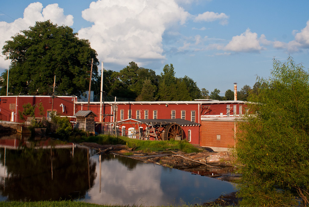
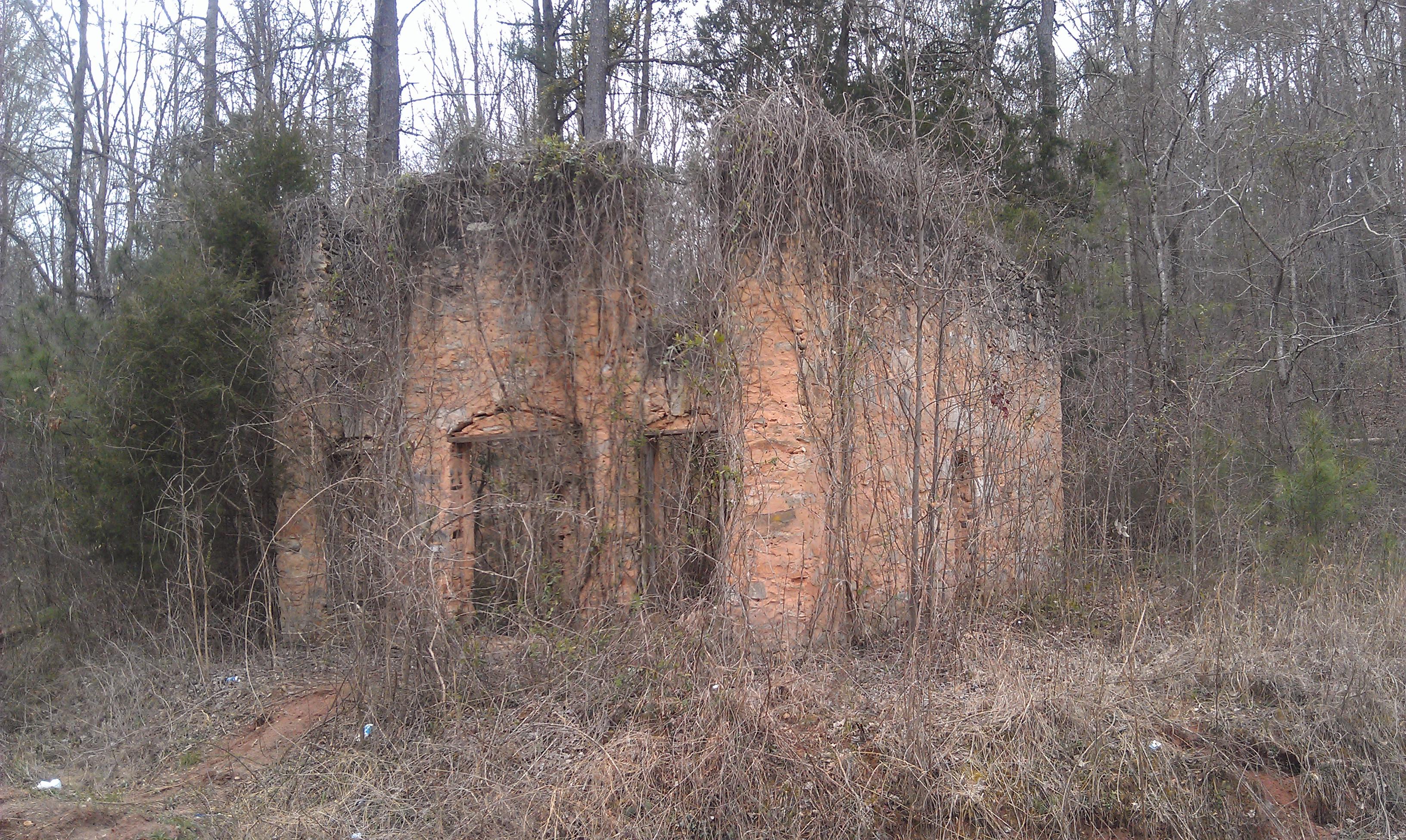
Rock Mills, AL
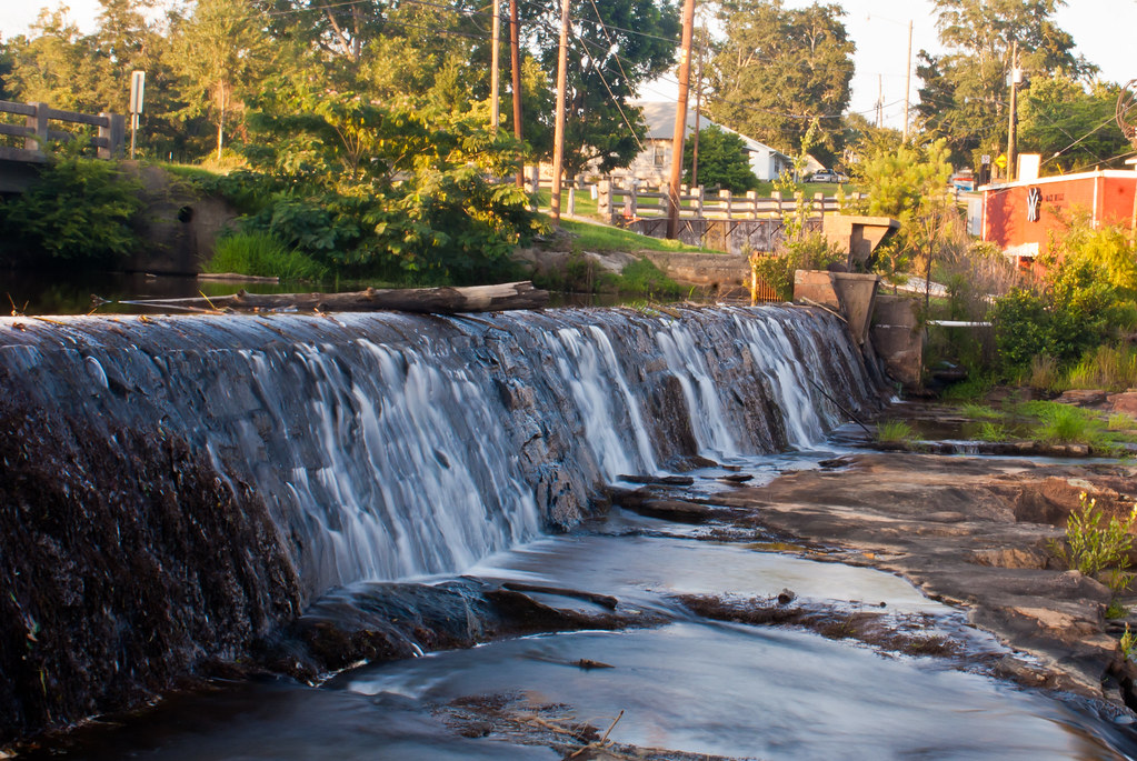
Rock Mills, AL

Mom's View

168/365 First LaGrange sunset

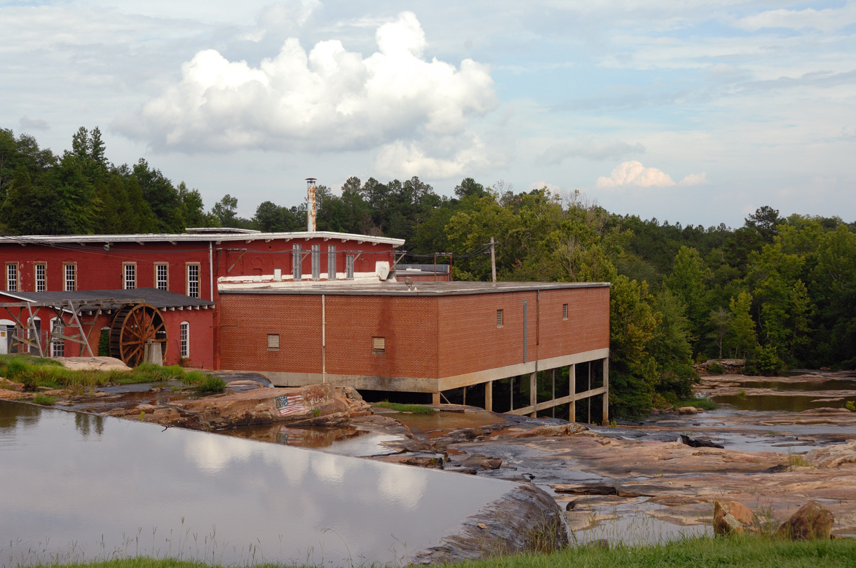
Rock Mills, AL
Rock Mills, AL

Rock Mills, AL
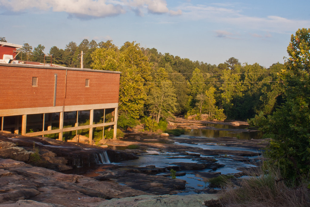
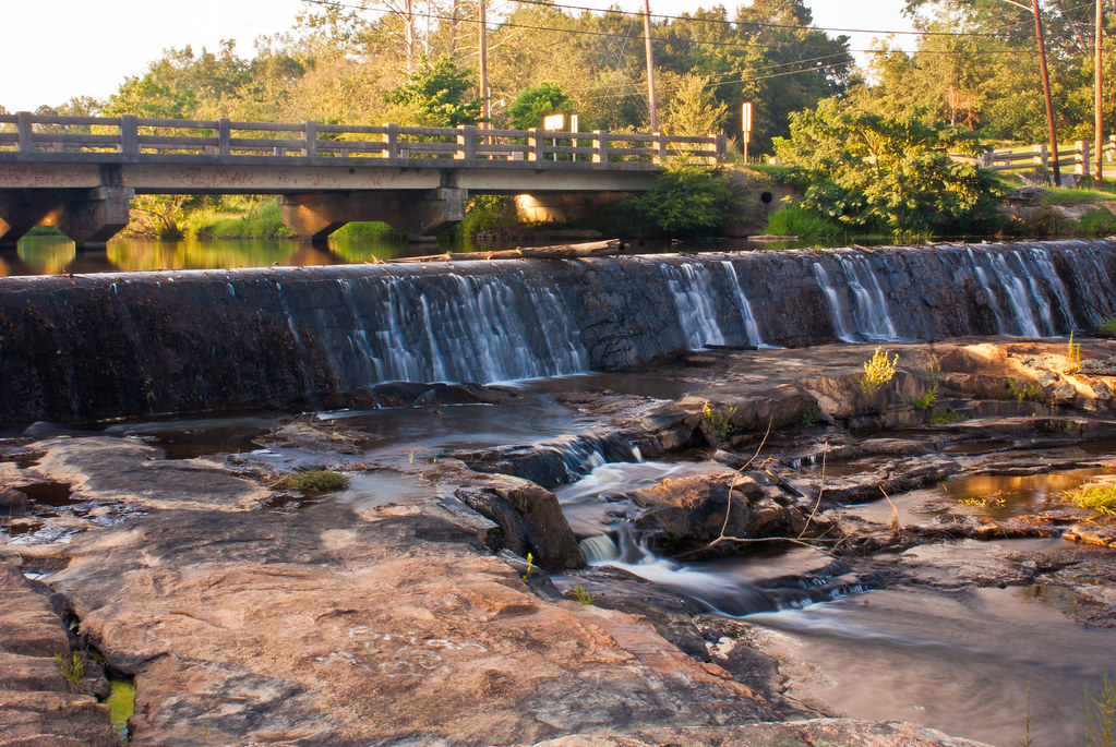
Rock Mill
Troup County GA (2)
Rock Mills, AL
Topographic Map of GA-34, Franklin, GA, USA
Find elevation by address:

Places near GA-34, Franklin, GA, USA:
GA-34, Franklin, GA, USA
GA-34, Franklin, GA, USA
Glenn Rd, Franklin, GA, USA
Heard County
Co Rd 30, Roanoke, AL, USA
Glenn Rd, Franklin, GA, USA
Bevis Road
Riverview St, Franklin, GA, USA
GA-, Franklin, GA, USA
59 Old Field Rd
Franklin
7773 Co Rd 87
2797 S River Rd
AL-22, Roanoke, AL, USA
Co Rd 87, Roanoke, AL, USA
811 Judy Rd
Co Rd 75, Roanoke, AL, USA
Antioch Rd, LaGrange, GA, USA
Antioch Rd, Franklin, GA, USA
Roosterville Rd, Franklin, GA, USA
Recent Searches:
- Elevation of Corso Fratelli Cairoli, 35, Macerata MC, Italy
- Elevation of Tallevast Rd, Sarasota, FL, USA
- Elevation of 4th St E, Sonoma, CA, USA
- Elevation of Black Hollow Rd, Pennsdale, PA, USA
- Elevation of Oakland Ave, Williamsport, PA, USA
- Elevation of Pedrógão Grande, Portugal
- Elevation of Klee Dr, Martinsburg, WV, USA
- Elevation of Via Roma, Pieranica CR, Italy
- Elevation of Tavkvetili Mountain, Georgia
- Elevation of Hartfords Bluff Cir, Mt Pleasant, SC, USA