Elevation of Fuller Rd, Easton, ME, USA
Location: United States > Maine > Aroostook County > Easton >
Longitude: -67.824317
Latitude: 46.6735604
Elevation: 223m / 732feet
Barometric Pressure: 99KPa
Elevation Map:
Satellite Map:
Related Photos:

Picture 37

Second Snowfall

Snow in the backyard
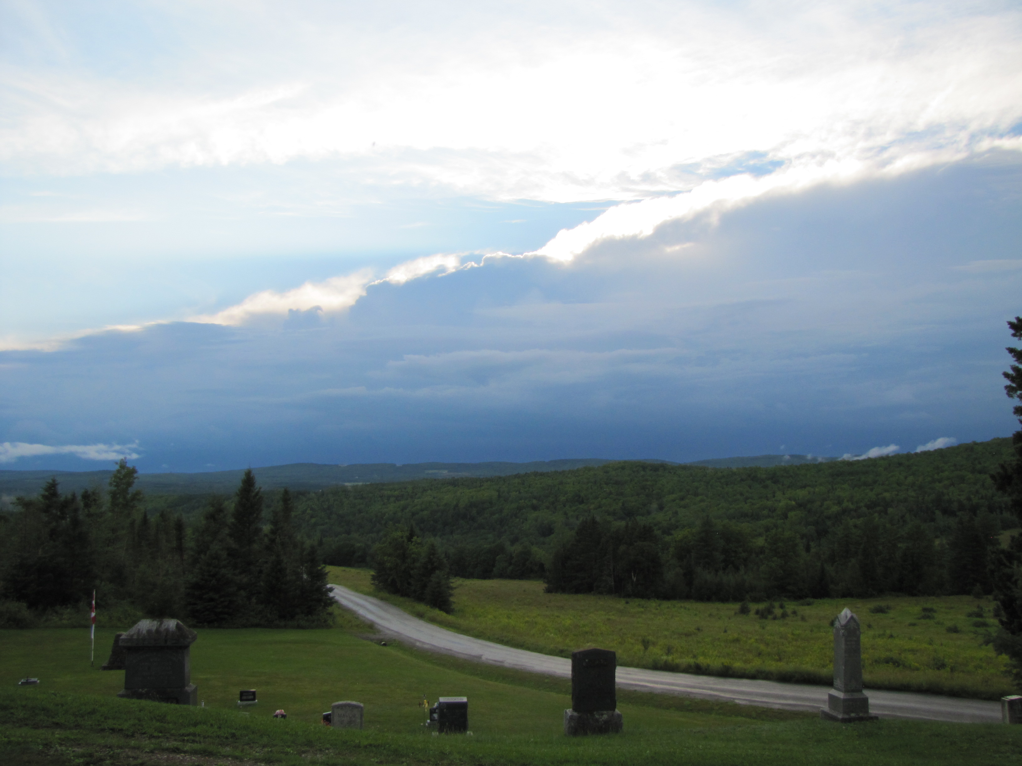
The Oncoming Storm
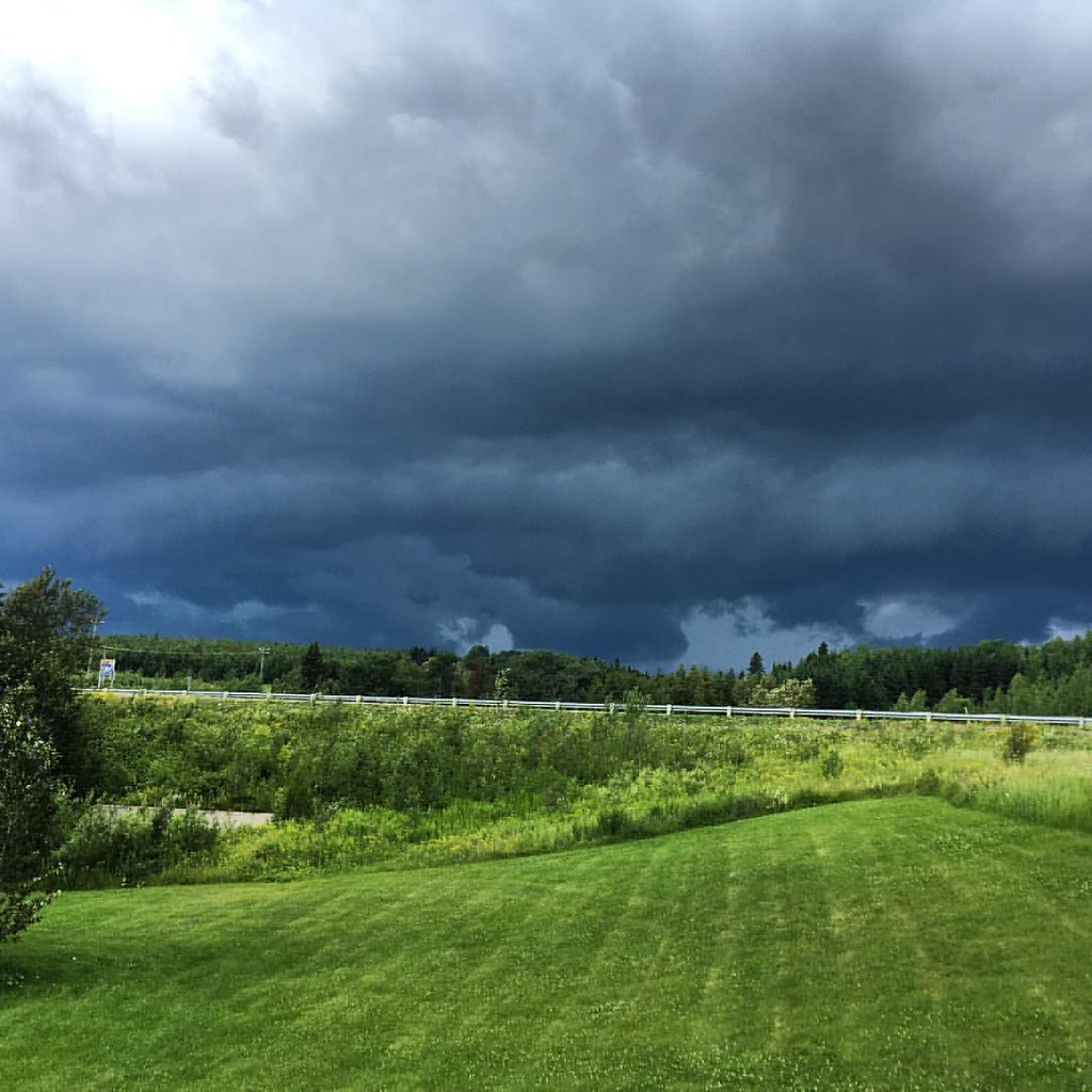
New Brunswick is a beauty! Torrential rainfall immediately followed by glowing sunshine. Green and lush. East coast beauty. #travel #newbrunswick #canada #vanlife #homeiswhereyouparkit #homeiswhereyoutakeit #landscape #landscapephotography #skyline #storm
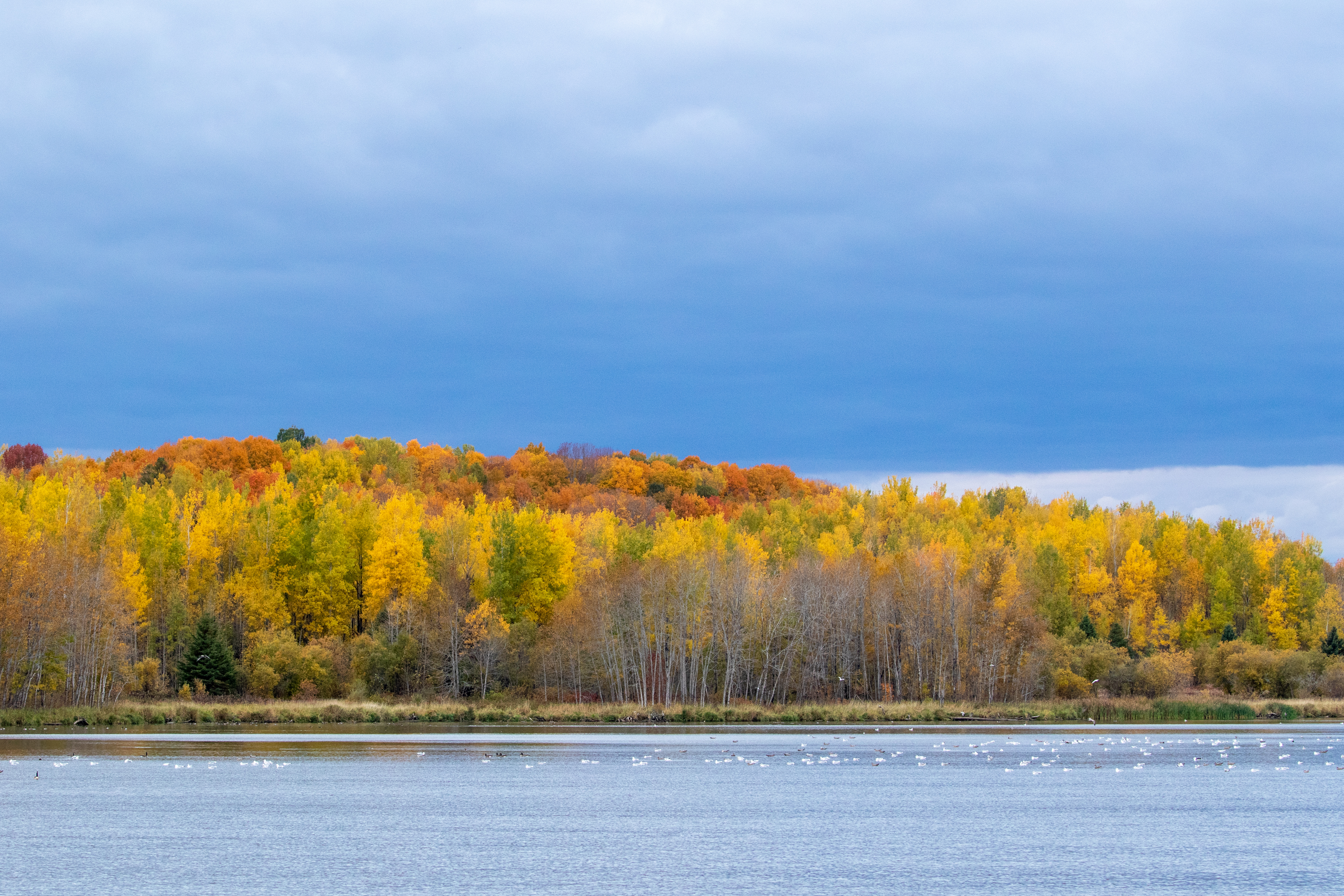
fall colors at Lake Josephine, Easton, Maine

Mantle Lake Park, Presque Isle Maine
Autographic color test.

July 21, 2013

2012-08-26-98781

July 18, 2013

2012-08-26-98927

Sunrise 1

One sunset for the road

Aroostook County: Red House
Topographic Map of Fuller Rd, Easton, ME, USA
Find elevation by address:

Places near Fuller Rd, Easton, ME, USA:
Houlton Rd, Easton, ME, USA
145 Mahany Rd
Andover
Easton
29 Fort Hill St
Fort Fairfield
Fort Fairfield
Carlingford
E7h 5b9
450 Fort Fairfield Rd
228 Egypt Rd
Fort Fairfield, ME, USA
59 Palmer Rd, Upper Kent, NB E7J 1Y4, Canada
Perth-andover
55 E Ridge Rd, Mars Hill, ME, USA
S Caribou Rd, Fort Fairfield, ME, USA
Maplehurst Rd, Maplehurst, NB E7J 1T5, Canada
Upper Kent
S Caribou Rd, Fort Fairfield, ME, USA
Kincardine
Recent Searches:
- Elevation of Lampiasi St, Sarasota, FL, USA
- Elevation of Elwyn Dr, Roanoke Rapids, NC, USA
- Elevation of Congressional Dr, Stevensville, MD, USA
- Elevation of Bellview Rd, McLean, VA, USA
- Elevation of Stage Island Rd, Chatham, MA, USA
- Elevation of Shibuya Scramble Crossing, 21 Udagawacho, Shibuya City, Tokyo -, Japan
- Elevation of Jadagoniai, Kaunas District Municipality, Lithuania
- Elevation of Pagonija rock, Kranto 7-oji g. 8"N, Kaunas, Lithuania
- Elevation of Co Rd 87, Jamestown, CO, USA
- Elevation of Tenjo, Cundinamarca, Colombia