Elevation of Freedom St, Brigham City, UT, USA
Location: United States > Utah > Box Elder County > Perry >
Longitude: -112.03232
Latitude: 41.464894
Elevation: 1334m / 4377feet
Barometric Pressure: 86KPa
Elevation Map:
Satellite Map:
Related Photos:

Mile Hill
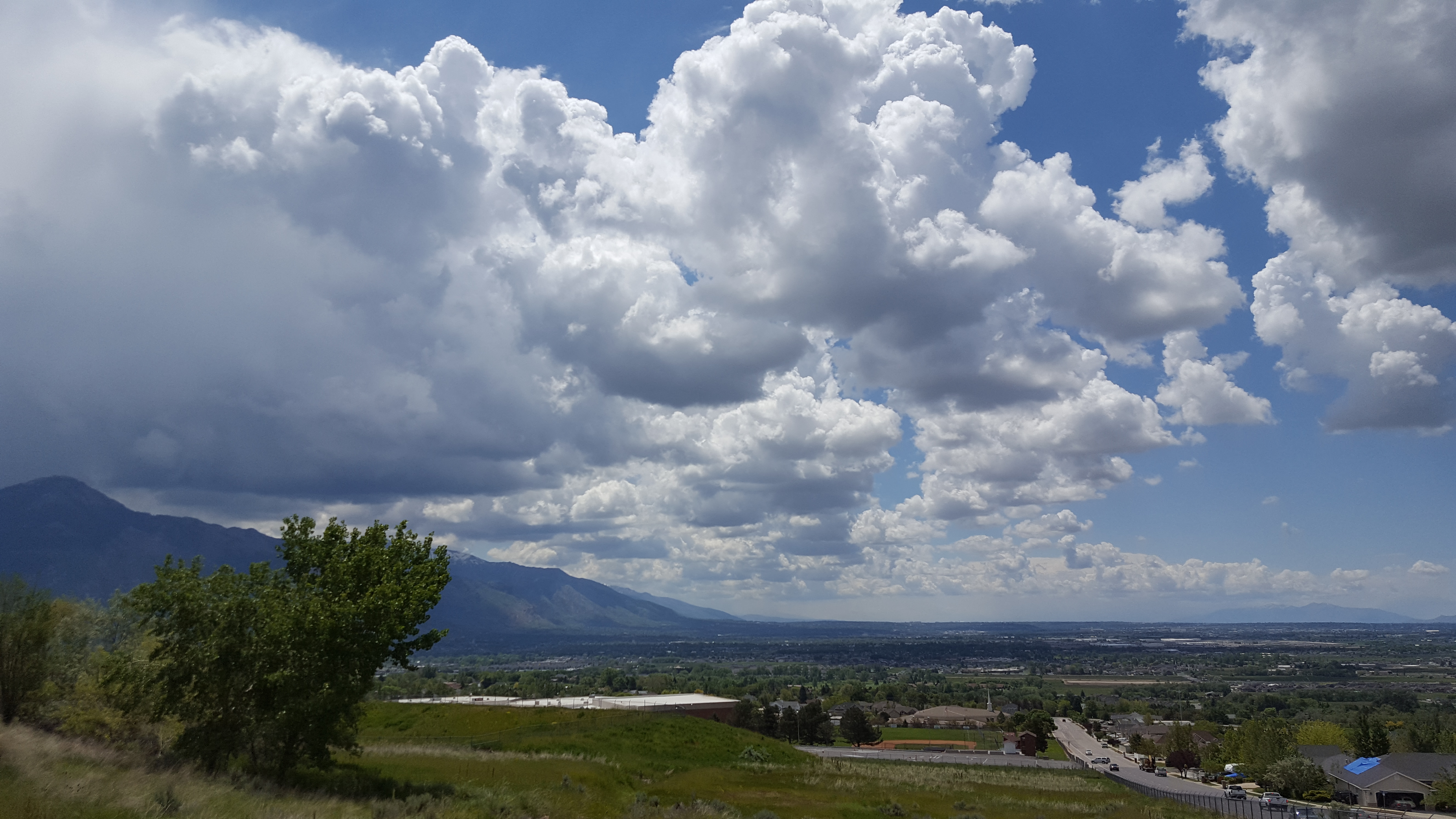
Above Weber High

0023-11 USA Vacation, Utah, Brigham City, View Towards Temple
Mile Hill

looong rows
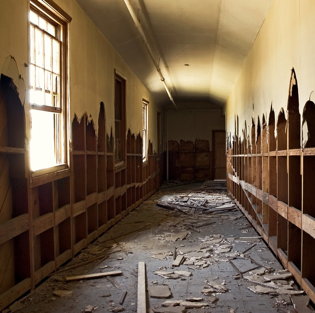
tear out the walls
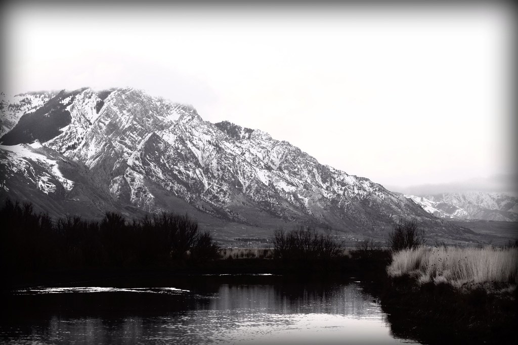
Weber and Davis County Utah form Willard Peak

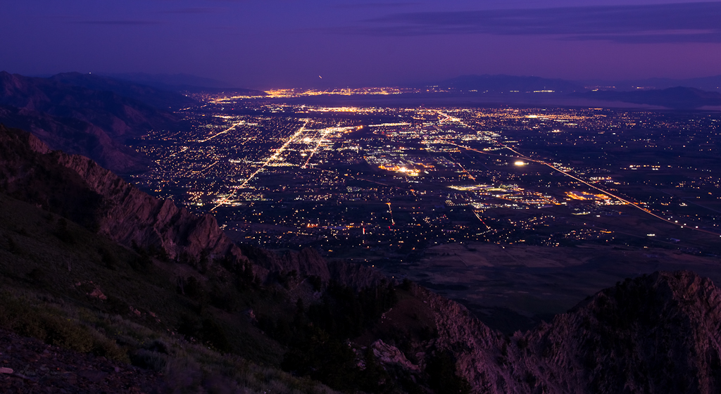
Watchful Eye Over Sleeping City

walls of yellow

Lazuli Bunting_0322
View from park
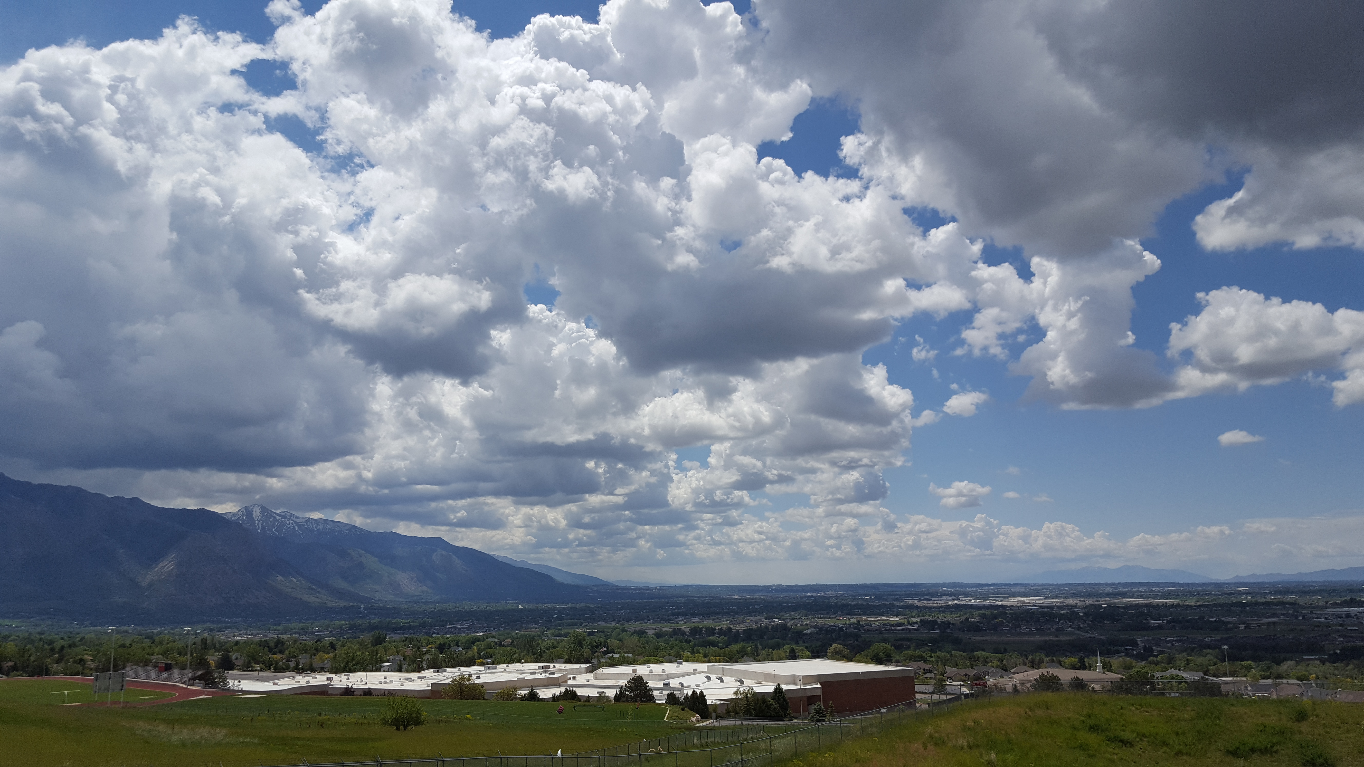
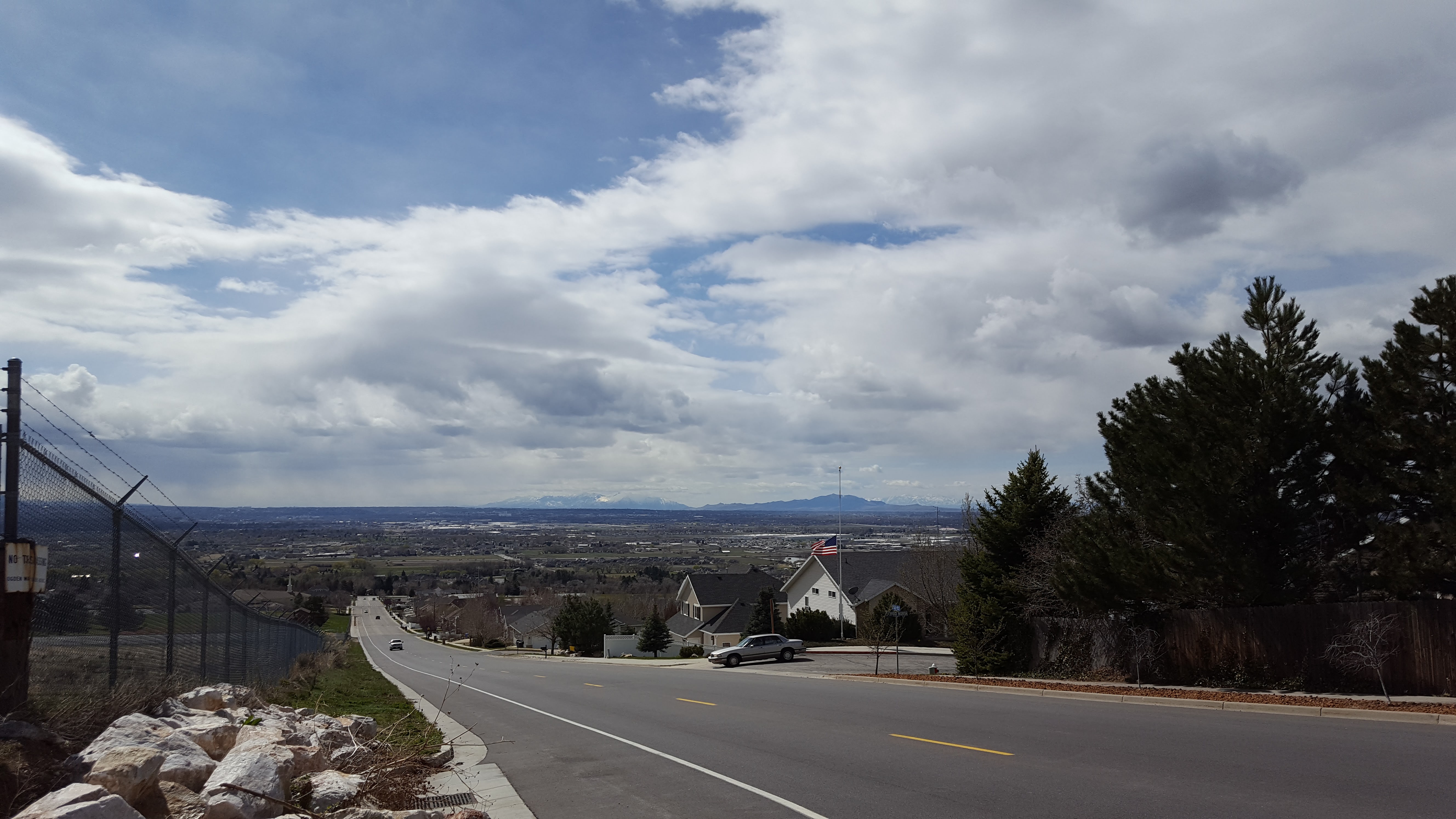
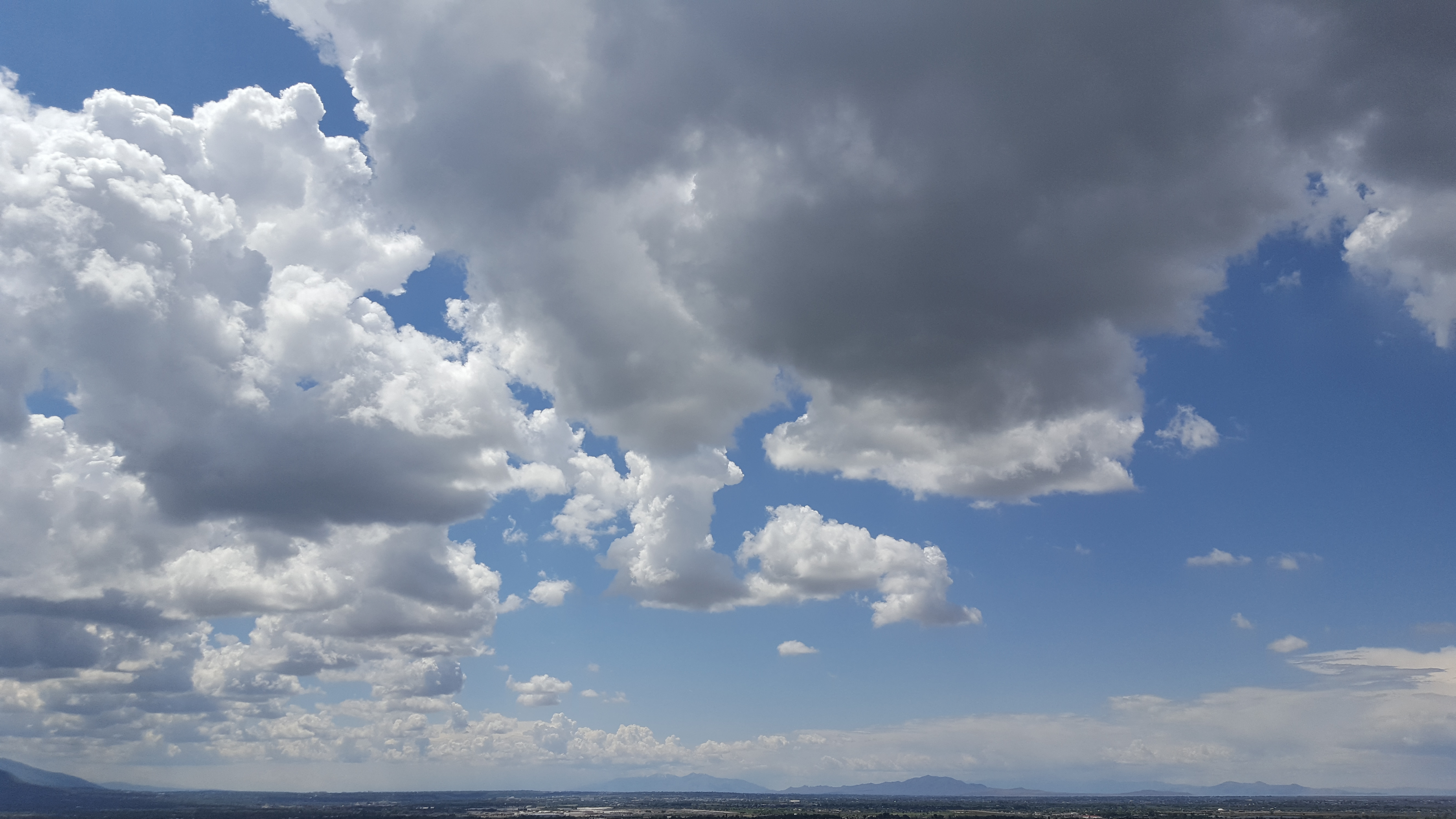
Above Weber High
Above Weber High
Cache National Forest View

Creepy Wrigley's Ghost Sign

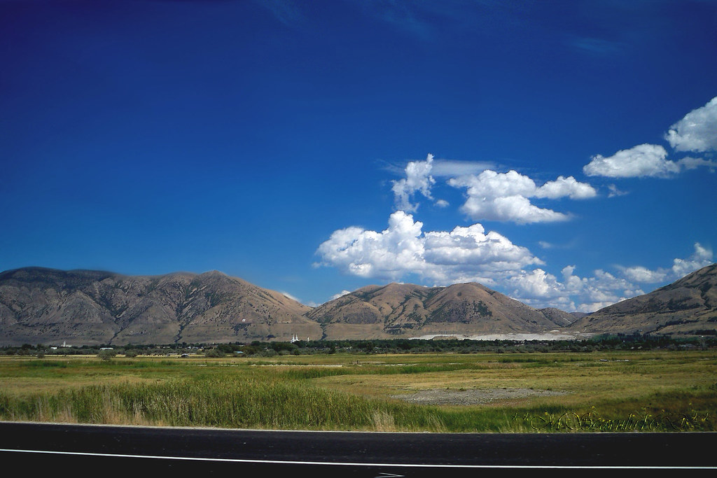
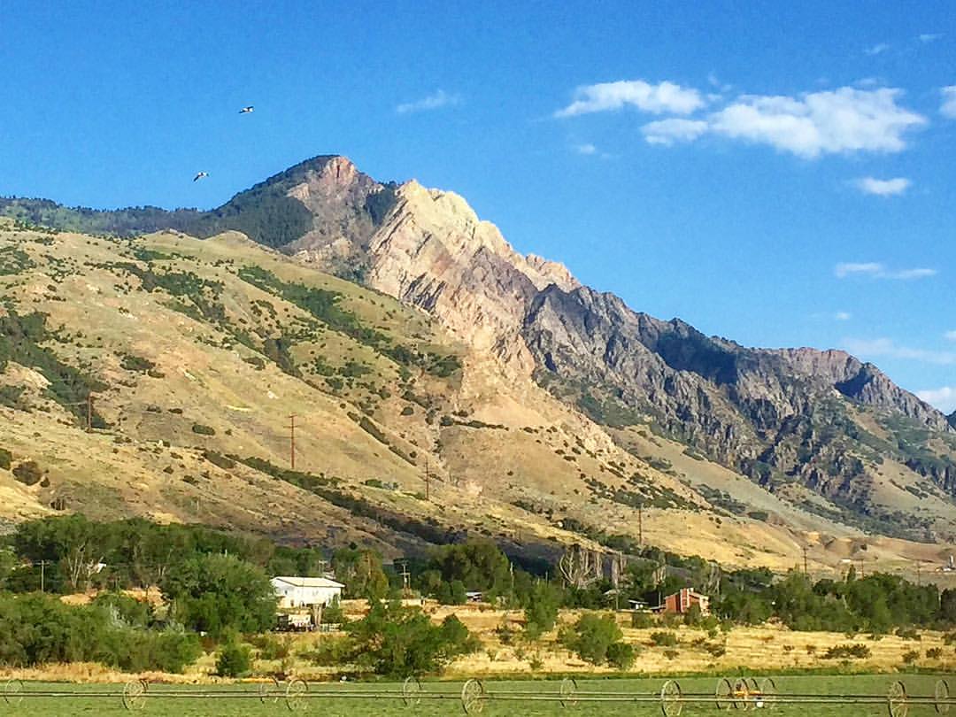
Brigham City view

Lesser Goldfinch_7874
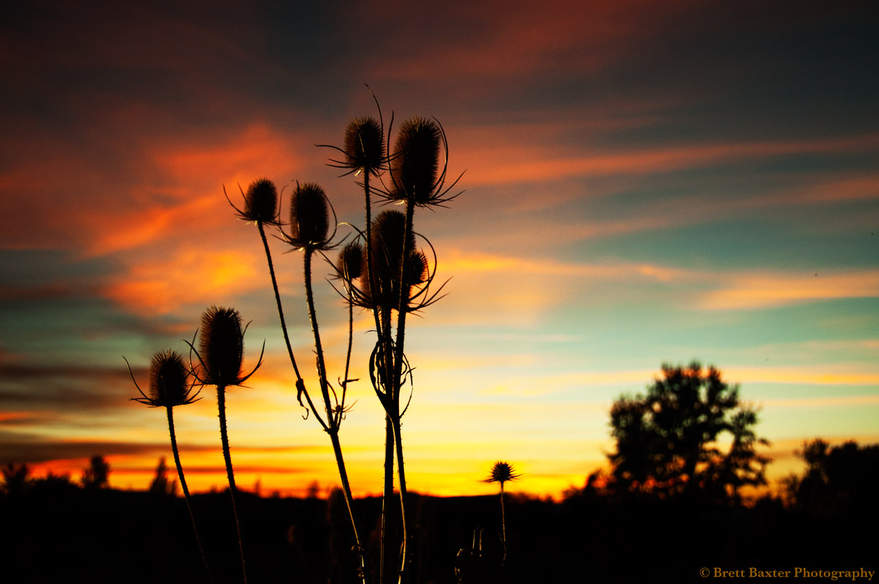
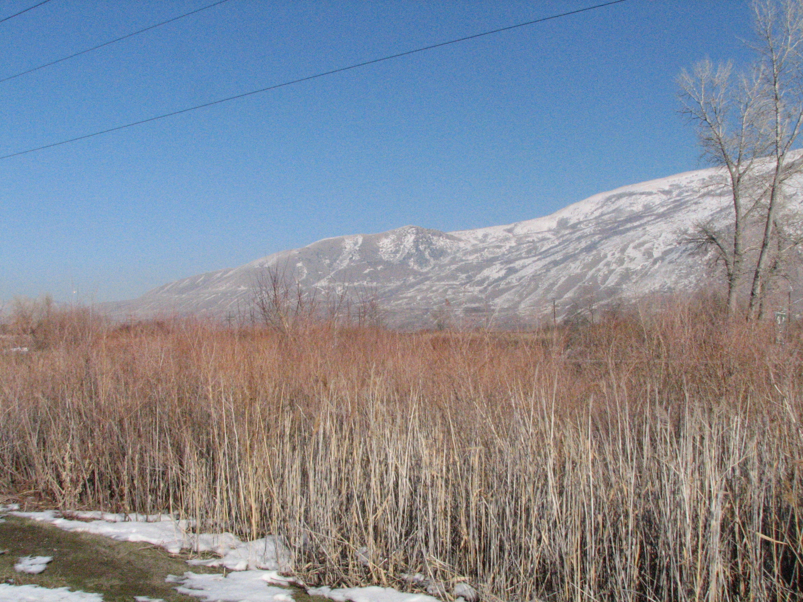
Cat Tail Sunset (012/365)

Ben Lomond Hike
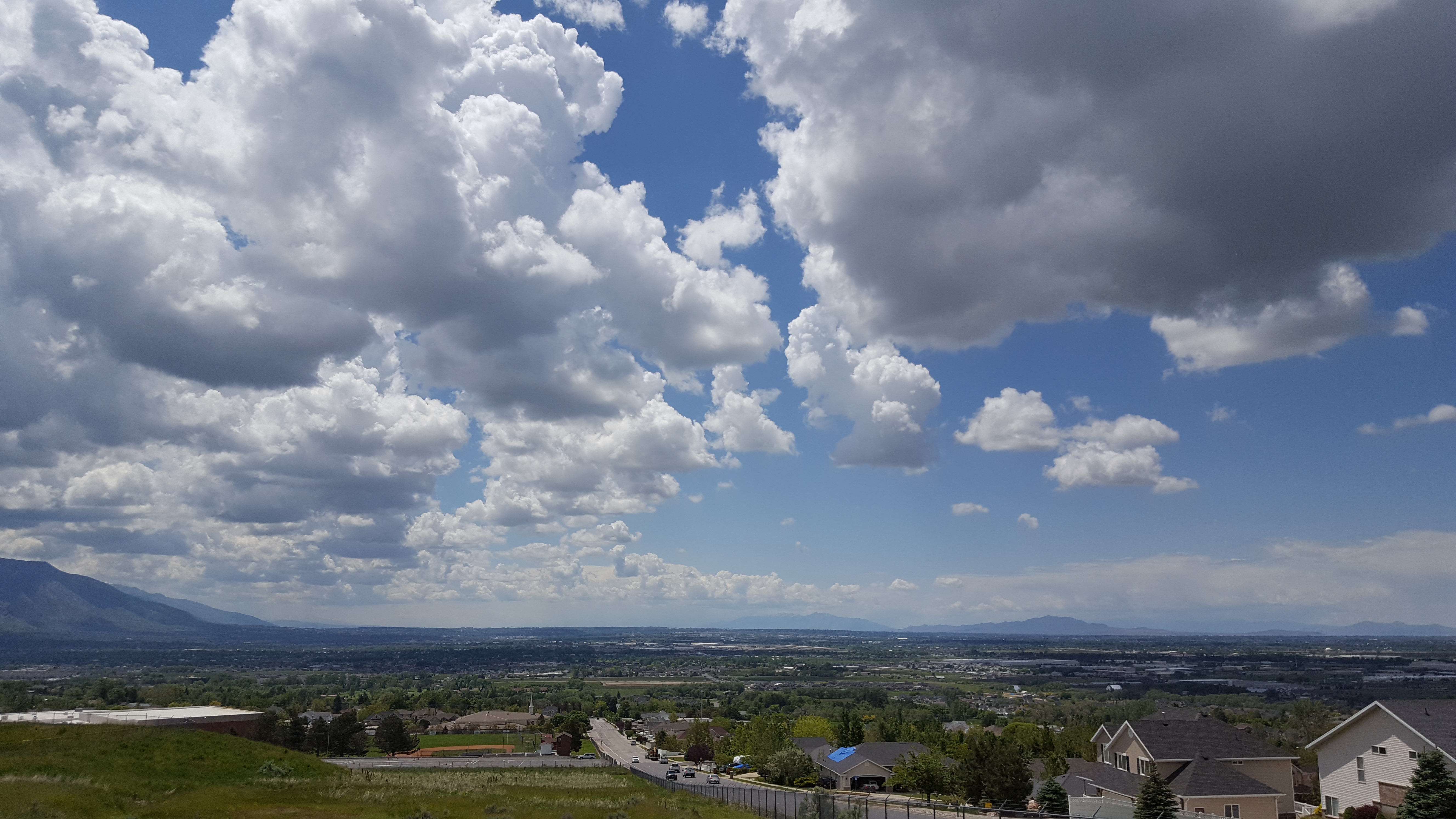
Above Weber High
Above Weber High

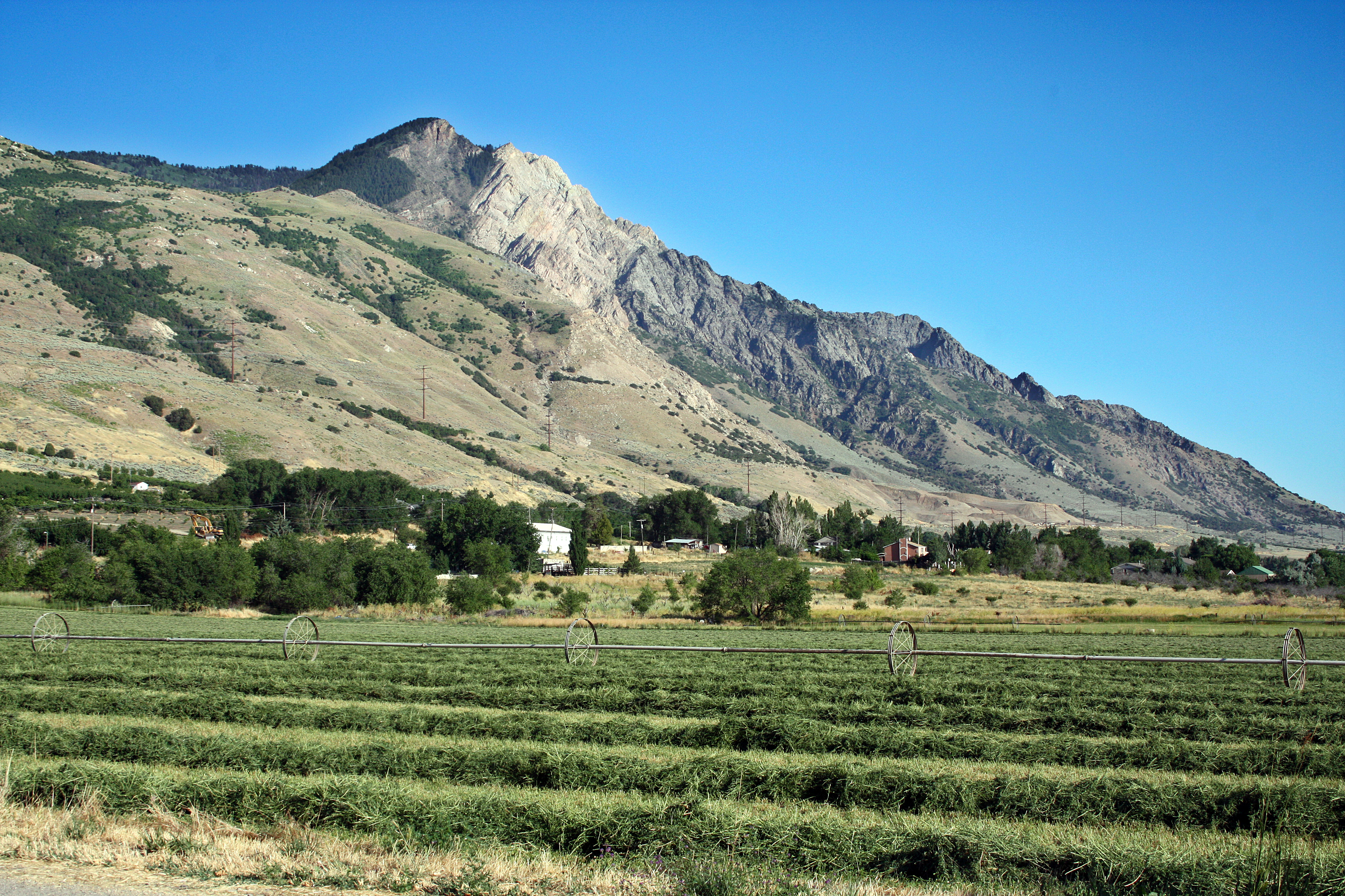
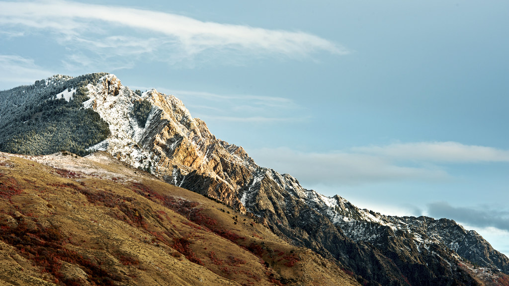
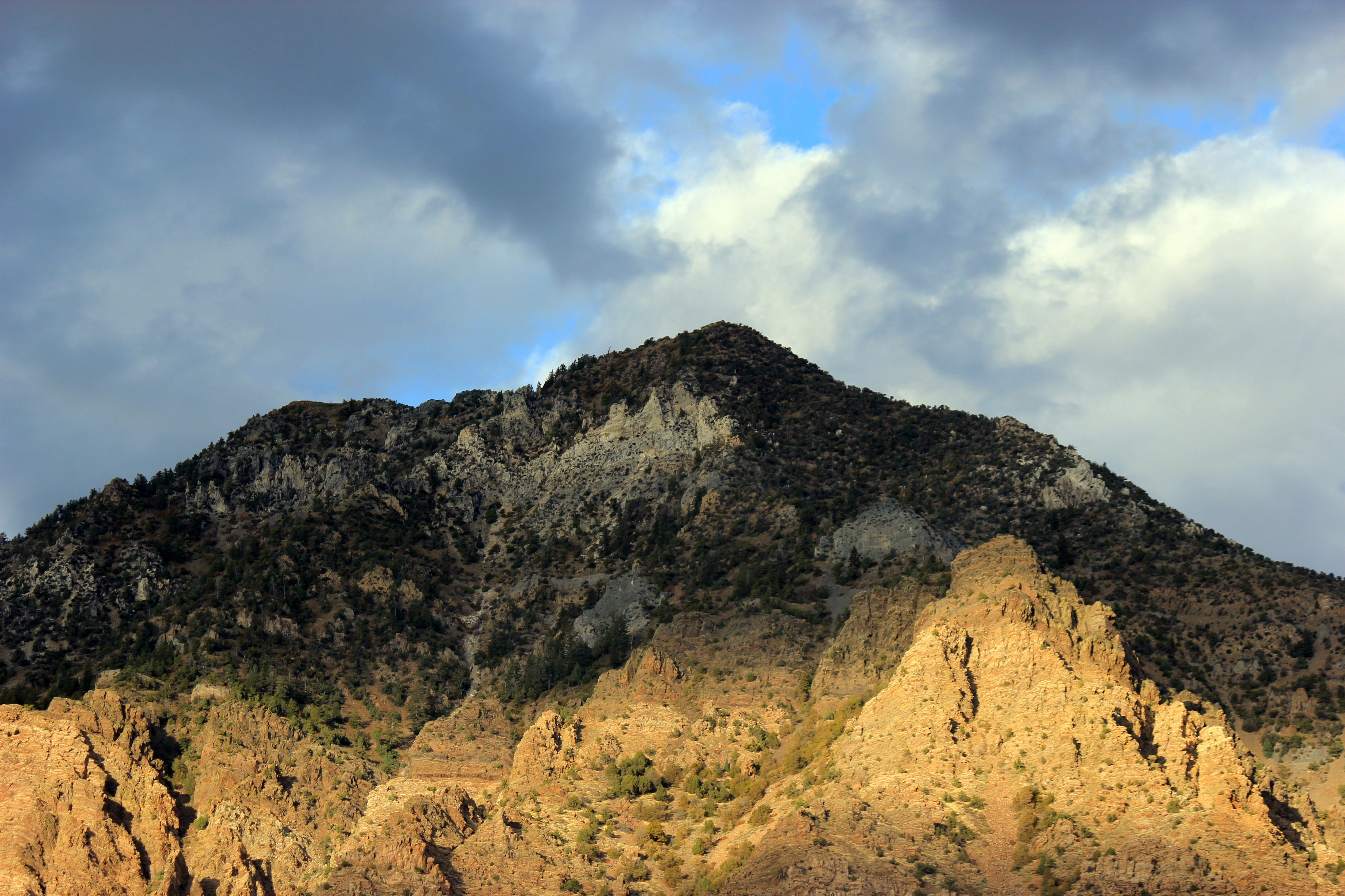
Willard Peak, Northern Utah
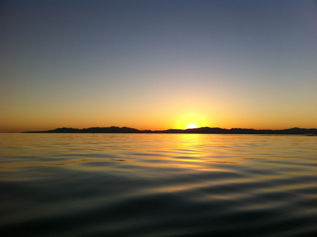
Willard Bay Sunset

Leaves Covering the Trail

Best drive in the world
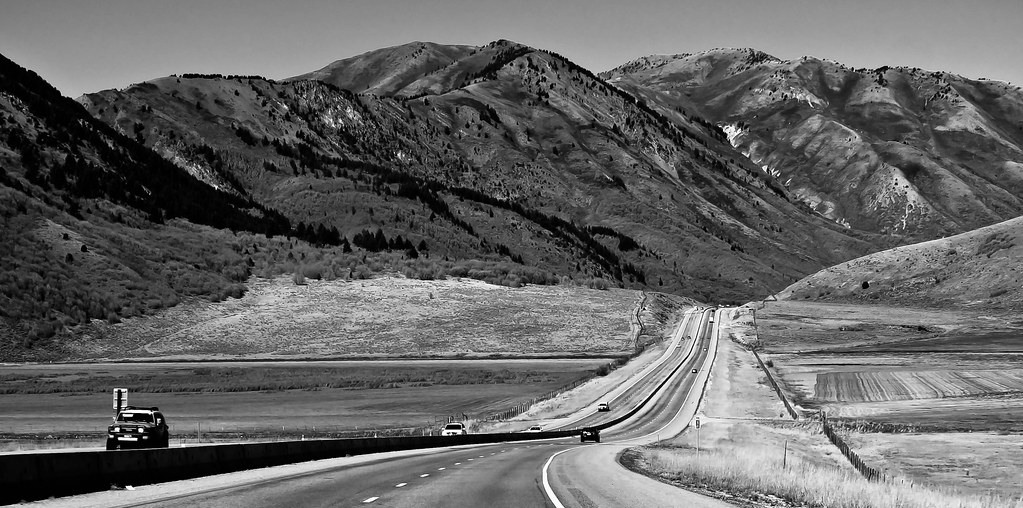
Open road
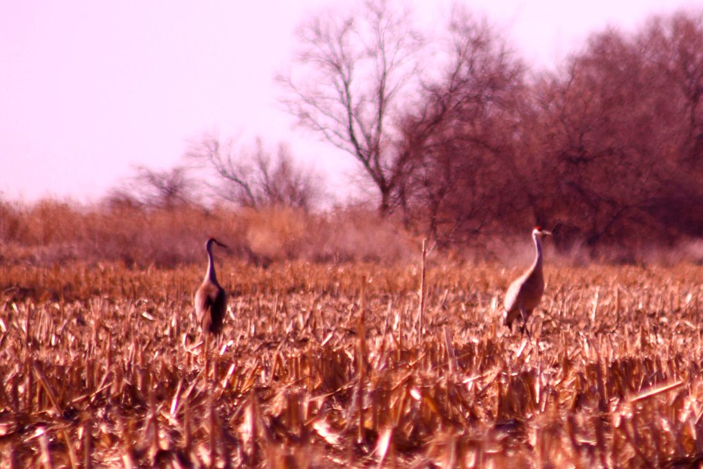
Herons in the Grass
"Que yo te mostraré lugares que nadie conoce y, si tú quieres, las perfectas regiones del Sueño.*I will show you places that no one knows and, if you like, the perfect dream regions."(Edward Estlin Cumming),Brigham City,Utah
Found an old trail... This will conclude out 12 miles.
Trapped Between Fall and Winter
The Gray Landscape

Wasatch mountains Utah

Ogden, UT
4-3135
The Trail
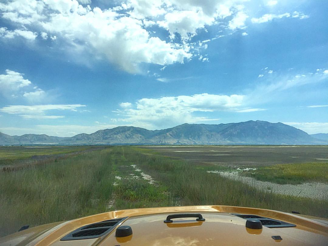
Cache National Forest - Willard Peak. Jeeping this area toMorris morning before heading to Montana.

Sage Thrasher (Oreoscoptes montanus)
Late Afternoon Mountains
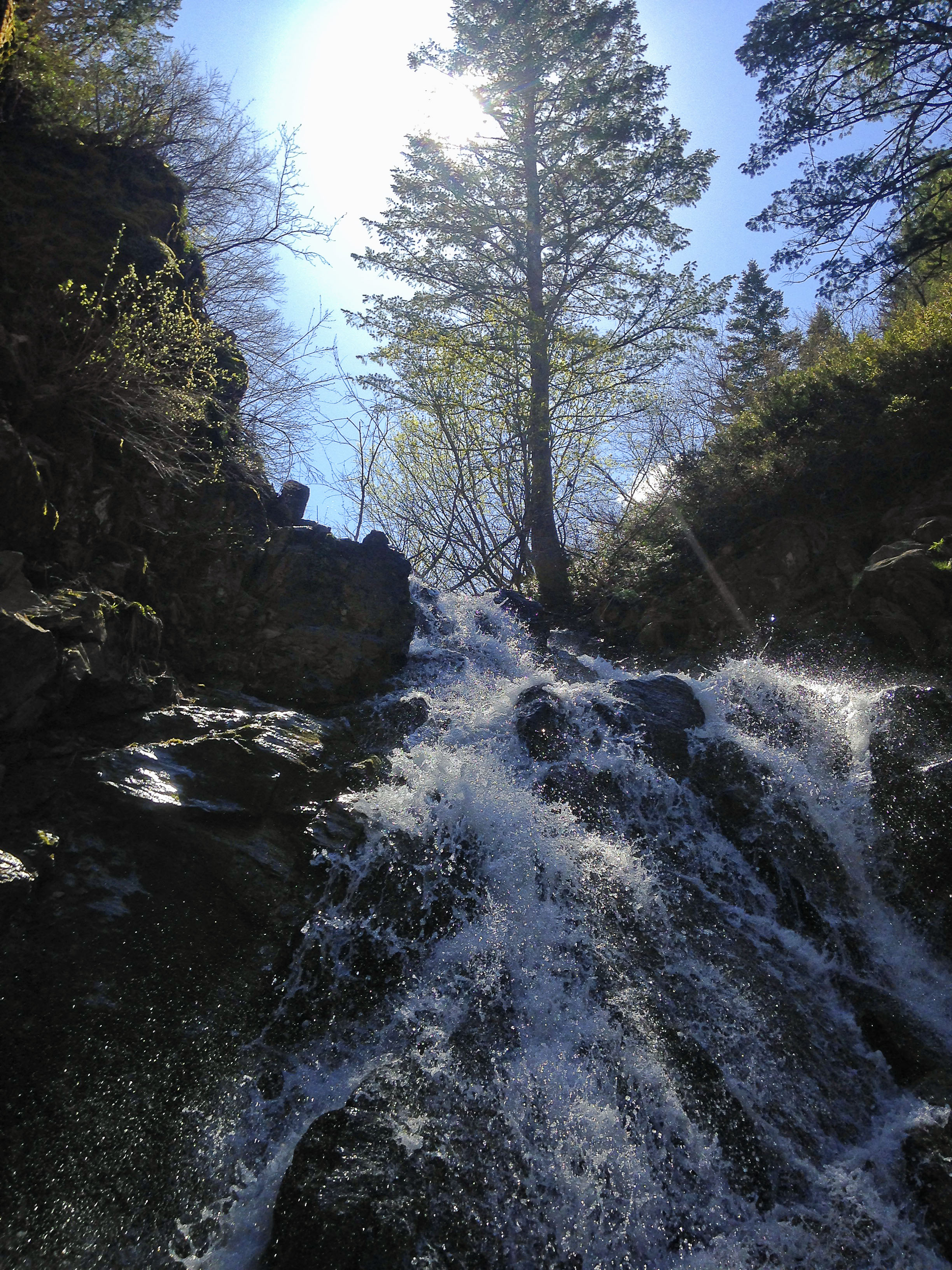
10 May 2014 Ben Lomond waterfall

near Brigham
Topographic Map of Freedom St, Brigham City, UT, USA
Find elevation by address:

Places near Freedom St, Brigham City, UT, USA:
Perry
3505 Us-89
3505 Us-89
14 W 1500 S
Willard
10 N Main St, Willard, UT, USA
236 660 South Appaloosa Way
Waterfall Drive
405 4400 N
2744 W 3375 N
3571 N 1000 W
3571 N 950 W
Weber High School
3145 Us-89
Pleasant View
547 E 3725 N
1926 E 6825 N
2001 E 6825 N
N E, Ogden, UT, USA
3155 700 E St
Recent Searches:
- Elevation of Bydgoszcz, Poland
- Elevation of Bydgoszcz, Poland
- Elevation of Calais Dr, Del Mar, CA, USA
- Elevation of Placer Mine Ln, West Jordan, UT, USA
- Elevation of E 63rd St, New York, NY, USA
- Elevation of Elk City, OK, USA
- Elevation of Erika Dr, Windsor, CA, USA
- Elevation of Village Ln, Finleyville, PA, USA
- Elevation of 24 Oakland Rd #, Scotland, ON N0E 1R0, Canada
- Elevation of Deep Gap Farm Rd E, Mill Spring, NC, USA