Elevation of Frazier Fork Campground, Estacada, OR, United States
Location: United States > Oregon > Clackamas County > Estacada >
Longitude: -121.96785
Latitude: 45.1512314
Elevation: 1387m / 4551feet
Barometric Pressure: 86KPa
Elevation Map:
Satellite Map:
Related Photos:

Clackamas River Trail

Old Salmon River Trail
Hood View
The view from the dinner table. #mountainhood

Hideaway Creek Falls

Views from the summit of Salmon Butte, site of an old fire lookout.

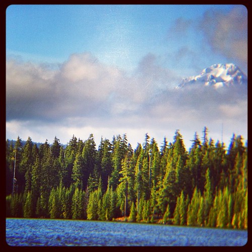
Hood view
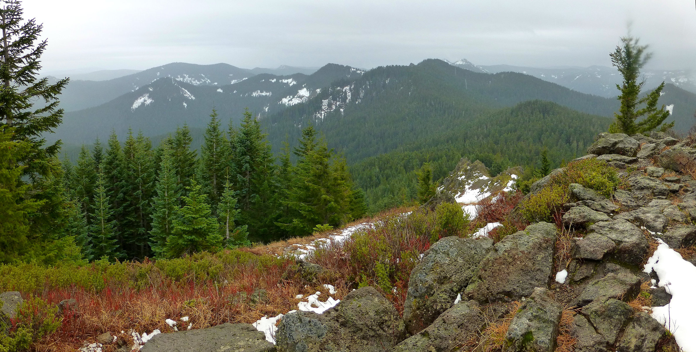
Views from the summit of Salmon Butte, site of an old fire lookout.

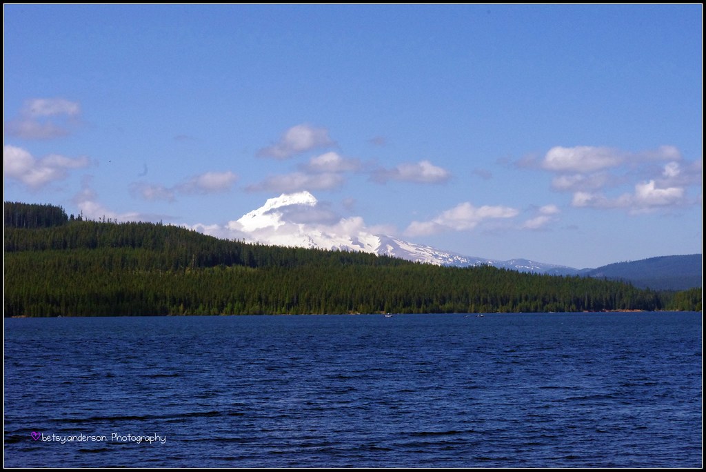
Hood View
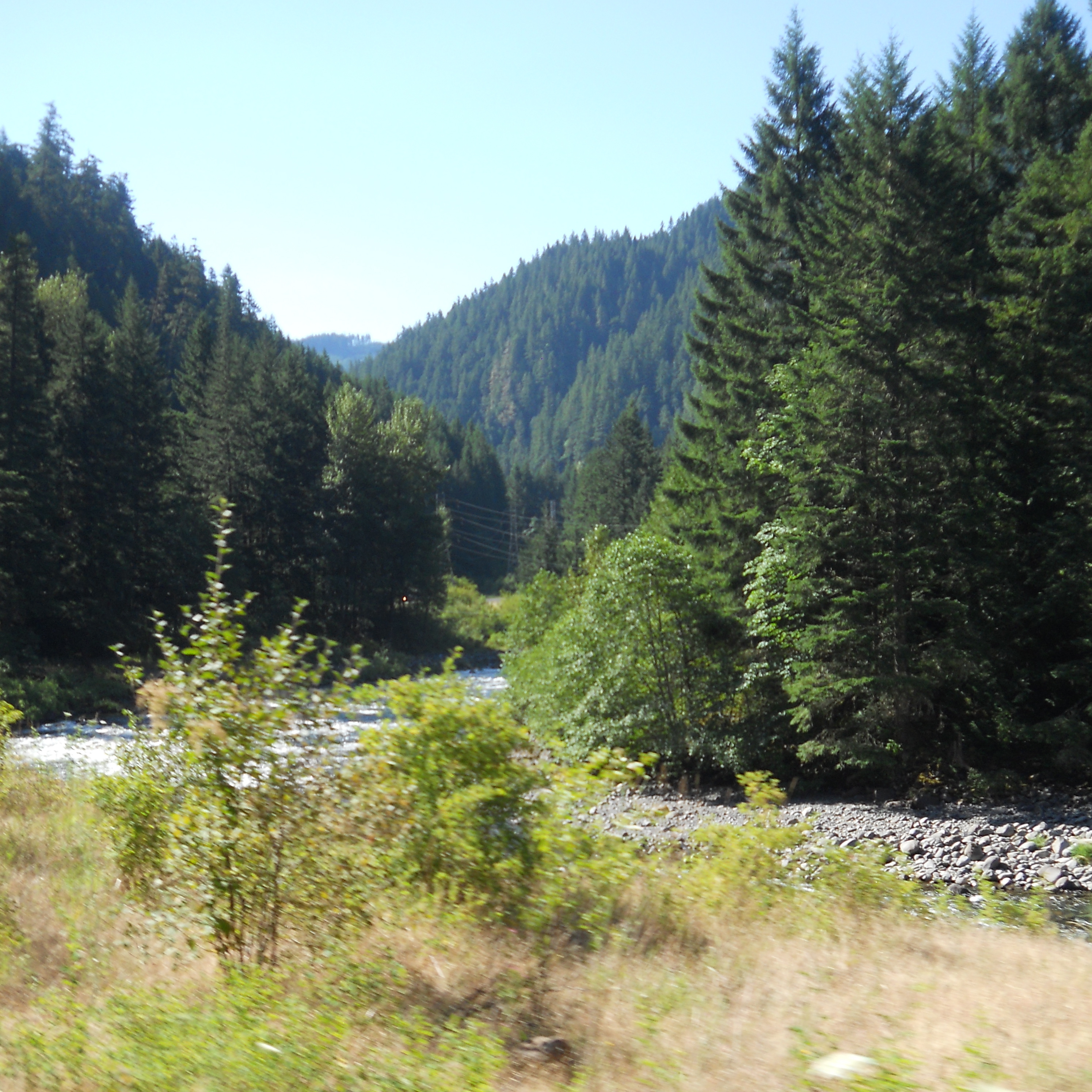
A scenic view along the Clackamas

View of Mt. Hood from Devil's Ridge Quarry
Topographic Map of Frazier Fork Campground, Estacada, OR, United States
Find elevation by address:

Places near Frazier Fork Campground, Estacada, OR, United States:
Three Lynx Creek
Clackamas County
Road 12
28057 E Welches Rd
68860 E Manape Dr
East Elk Park Road
28018 Still Creek Rd
Still Creek Road
Road 28 A
27025 E Riverwood Ln
Road 28
E Elk Park Rd, Welches, OR, USA
25 Still Creek Rd
25 Still Creek Rd
25 Still Creek Rd
25 Still Creek Rd
25 Still Creek Rd
25 Still Creek Rd
25 Still Creek Rd
25 Still Creek Rd
Recent Searches:
- Elevation of Corso Fratelli Cairoli, 35, Macerata MC, Italy
- Elevation of Tallevast Rd, Sarasota, FL, USA
- Elevation of 4th St E, Sonoma, CA, USA
- Elevation of Black Hollow Rd, Pennsdale, PA, USA
- Elevation of Oakland Ave, Williamsport, PA, USA
- Elevation of Pedrógão Grande, Portugal
- Elevation of Klee Dr, Martinsburg, WV, USA
- Elevation of Via Roma, Pieranica CR, Italy
- Elevation of Tavkvetili Mountain, Georgia
- Elevation of Hartfords Bluff Cir, Mt Pleasant, SC, USA