Elevation of Franklin Peaks, East Kootenay F, BC V0B, Canada
Location: Canada > British Columbia > East Kootenay > East Kootenay F >
Longitude: -115.40555
Latitude: 50.3794444
Elevation: 2659m / 8724feet
Barometric Pressure: 73KPa
Elevation Map:
Satellite Map:
Related Photos:
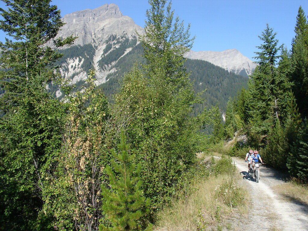
Sept.25- 28- 2006 BC Quad Trip 038.jpg
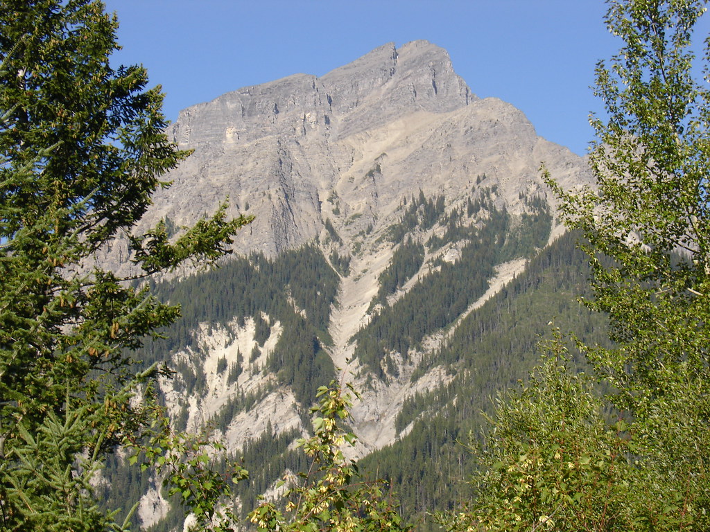
DSC05049.JPG
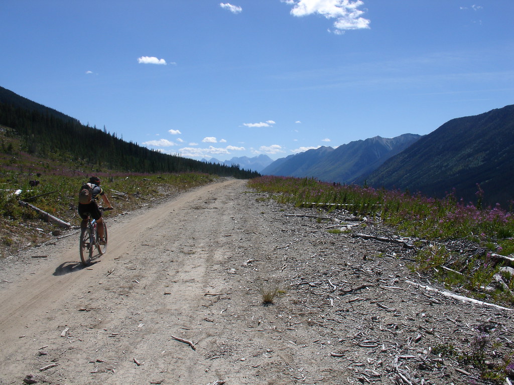
DSC05048.JPG
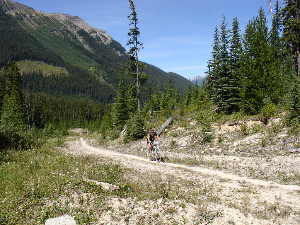
DSC05044.JPG

DSC05062.JPG

DSC05061.JPG
DSC05060.JPG
DSC05059.JPG
DSC05050.JPG
DSC05047.JPG
DSC05046.JPG
DSC05045.JPG
Topographic Map of Franklin Peaks, East Kootenay F, BC V0B, Canada
Find elevation by address:

Places near Franklin Peaks, East Kootenay F, BC V0B, Canada:
Mount Princess Mary
Mount King George
Mount Prince George
Mount Prince Edward
Mount Prince Henry
Edwards Peak
White Knight Peak
Blue Knight Peak
Mount Glen
Nappe Mountain
Mount Pedley
Aeneas E2
Shark Tooth Nw2
Shark Tooth Se1
Shark Tooth Sw1
Aeneas N3
Mclean Peak
Indian Head Se1
Aeneas Se1
Fairmont Ridge
Recent Searches:
- Elevation of Corso Fratelli Cairoli, 35, Macerata MC, Italy
- Elevation of Tallevast Rd, Sarasota, FL, USA
- Elevation of 4th St E, Sonoma, CA, USA
- Elevation of Black Hollow Rd, Pennsdale, PA, USA
- Elevation of Oakland Ave, Williamsport, PA, USA
- Elevation of Pedrógão Grande, Portugal
- Elevation of Klee Dr, Martinsburg, WV, USA
- Elevation of Via Roma, Pieranica CR, Italy
- Elevation of Tavkvetili Mountain, Georgia
- Elevation of Hartfords Bluff Cir, Mt Pleasant, SC, USA