Elevation of Nappe Mountain, East Kootenay F, BC V0B, Canada
Location: Canada > British Columbia > East Kootenay > East Kootenay F > Fairmont Hot Springs >
Longitude: -115.69833
Latitude: 50.3783333
Elevation: 2404m / 7887feet
Barometric Pressure: 76KPa
Elevation Map:
Satellite Map:
Related Photos:
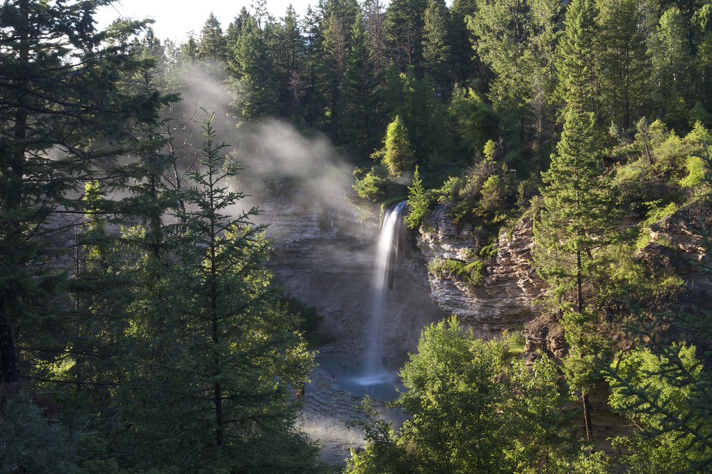
Steamy sunbeams
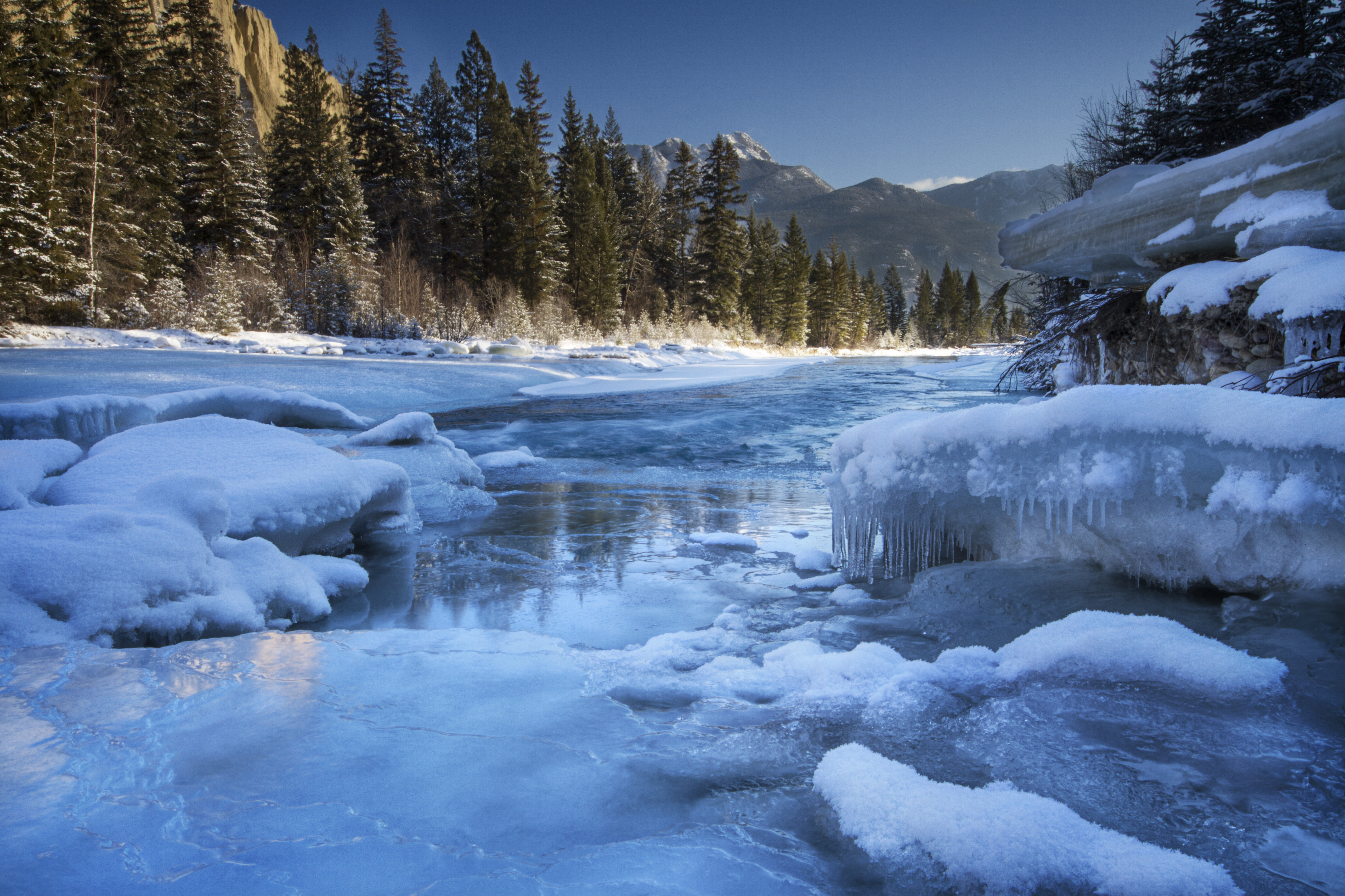
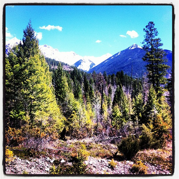
Dutch Creek Rockies

Pool with a View_2
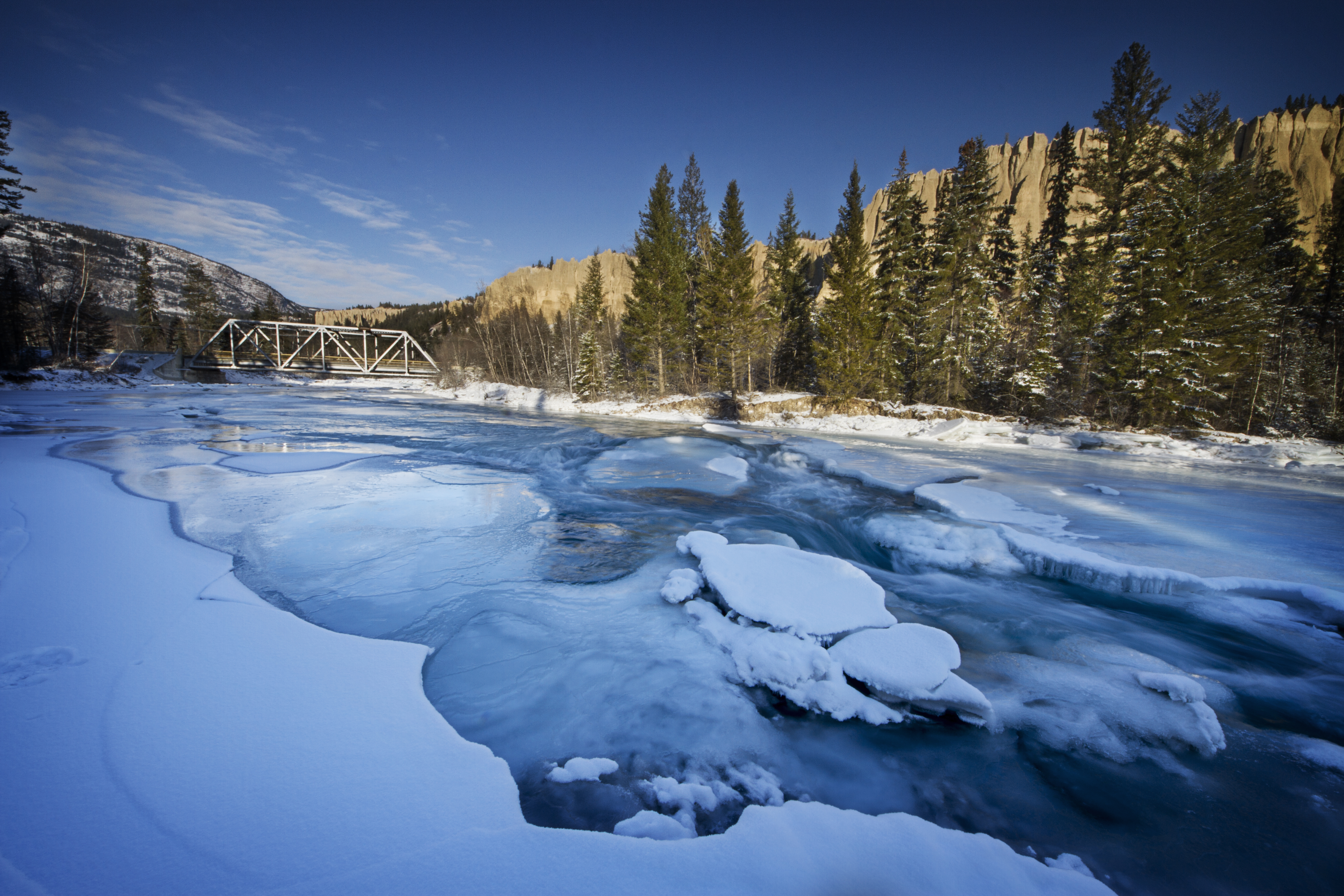
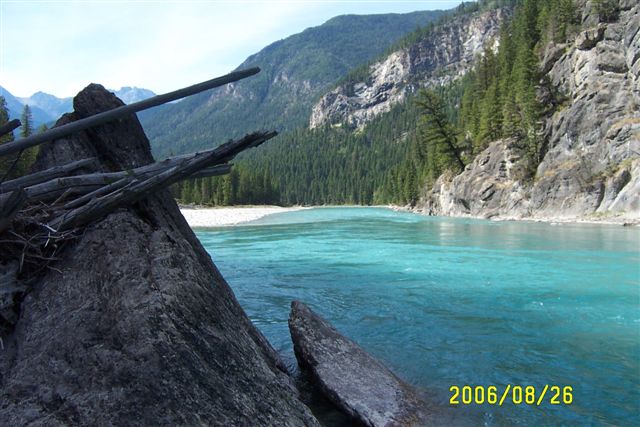
Dutch Creek Bridge
Pool with a View

Golden Shower

Golfing in the Columbia River Valley
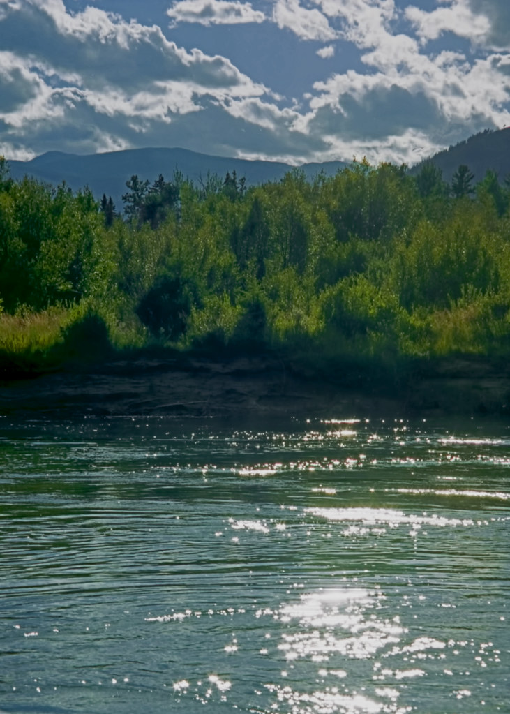
Sparkling Waters
The view from my office this amazing afternoon! #ilivewhereyouvacation

The view from my office this afternoon. #thatsourcolumbiavalley

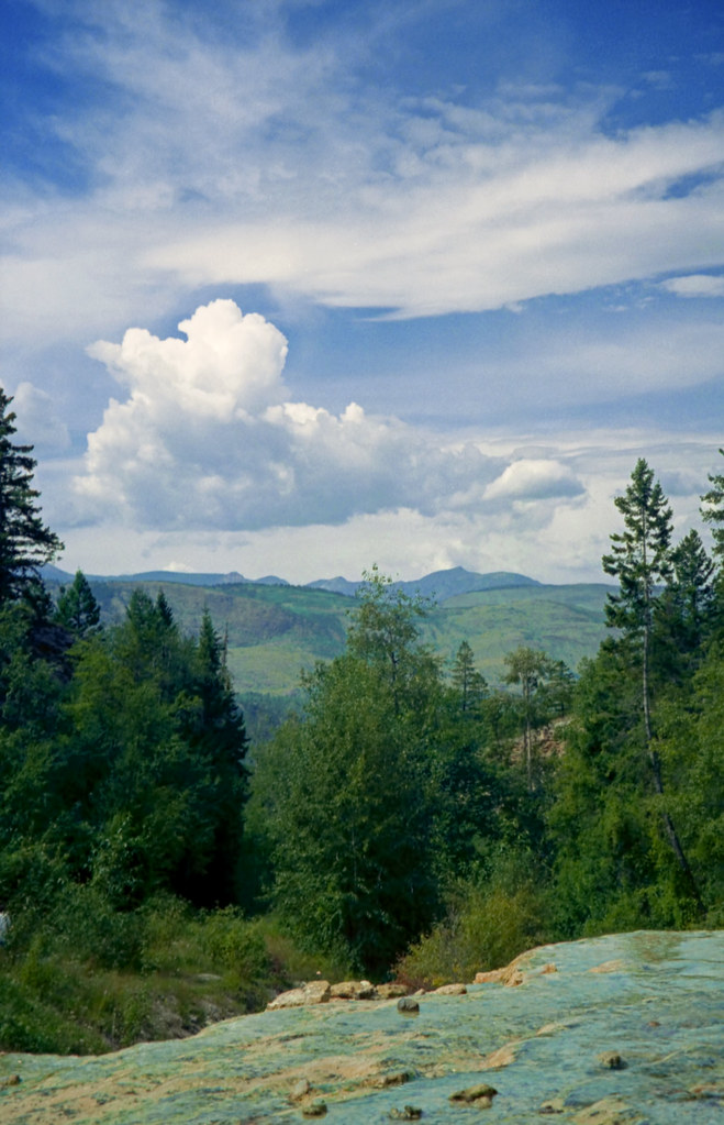
Sept.25- 28- 2006 BC Quad Trip 040.jpg
Sept.25- 28- 2006 BC Quad Trip 041.jpg
Topographic Map of Nappe Mountain, East Kootenay F, BC V0B, Canada
Find elevation by address:

Places near Nappe Mountain, East Kootenay F, BC V0B, Canada:
Mount Pedley
Aeneas E2
Indian Head Se1
Aeneas Se1
Indian Head Mountain
Fairmont Ridge
Mount Aeneas
Aeneas N3
Fairmont Mountain
Aeneas Nw1
Indian Head W2
Tegart Peak
Fairmont Hot Springs Resort
Mount Tegart
4942 Mountain Hill Rd
Fairmont Hot Springs
Mount Glen
Wills Rd, Fairmont Hot Springs, BC V0B 1L1, Canada
5129 Riverview Pl
Mount De Smet
Recent Searches:
- Elevation of Corso Fratelli Cairoli, 35, Macerata MC, Italy
- Elevation of Tallevast Rd, Sarasota, FL, USA
- Elevation of 4th St E, Sonoma, CA, USA
- Elevation of Black Hollow Rd, Pennsdale, PA, USA
- Elevation of Oakland Ave, Williamsport, PA, USA
- Elevation of Pedrógão Grande, Portugal
- Elevation of Klee Dr, Martinsburg, WV, USA
- Elevation of Via Roma, Pieranica CR, Italy
- Elevation of Tavkvetili Mountain, Georgia
- Elevation of Hartfords Bluff Cir, Mt Pleasant, SC, USA