Elevation of Franklin County, TX, USA
Location: United States > Texas >
Longitude: -95.184921
Latitude: 33.1959954
Elevation: 136m / 446feet
Barometric Pressure: 100KPa
Elevation Map:
Satellite Map:
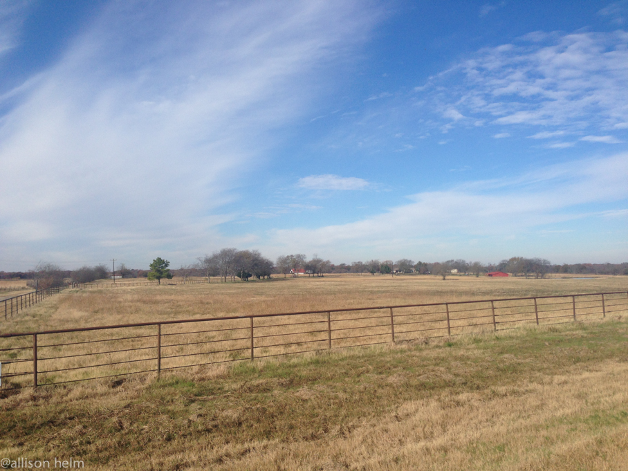
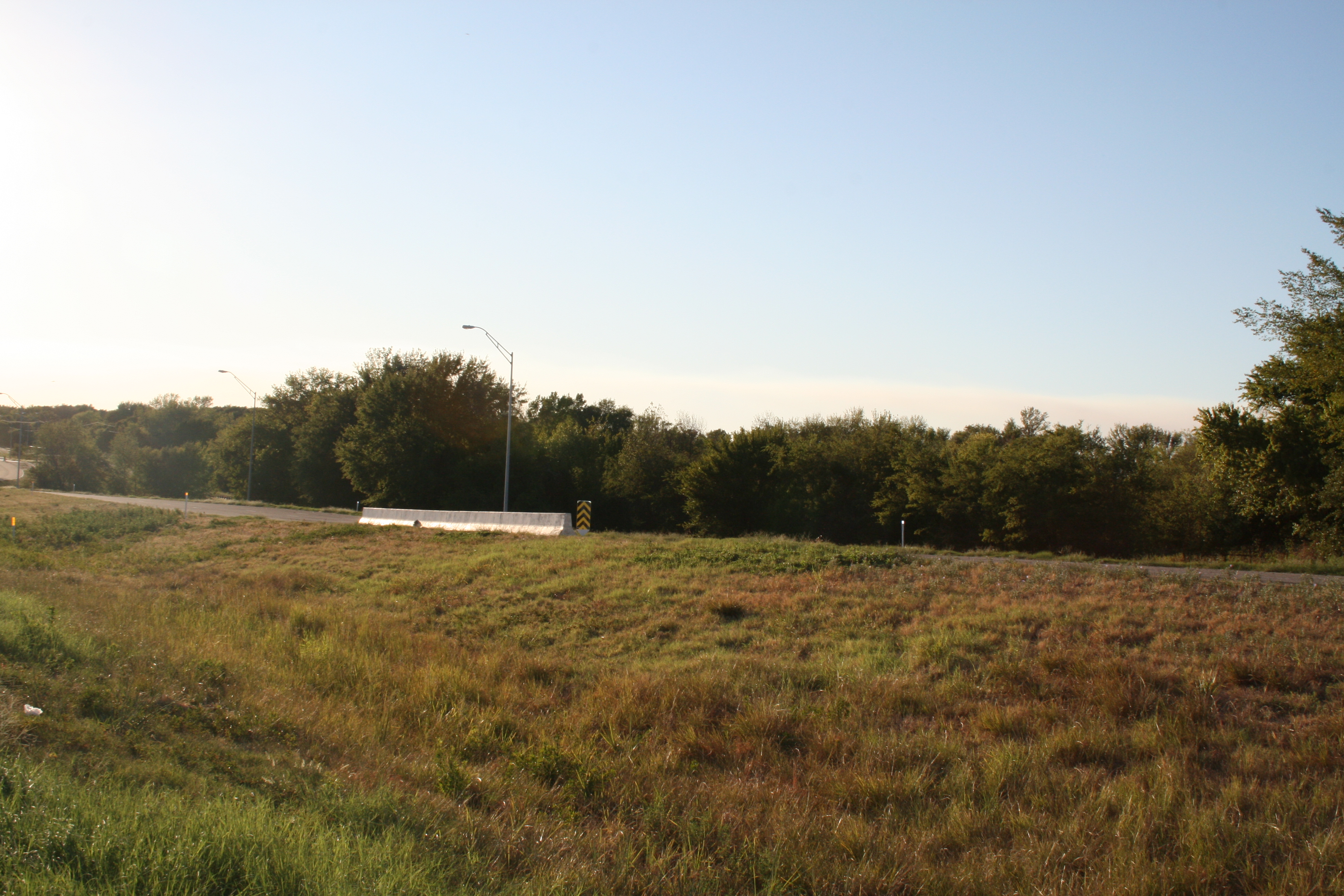
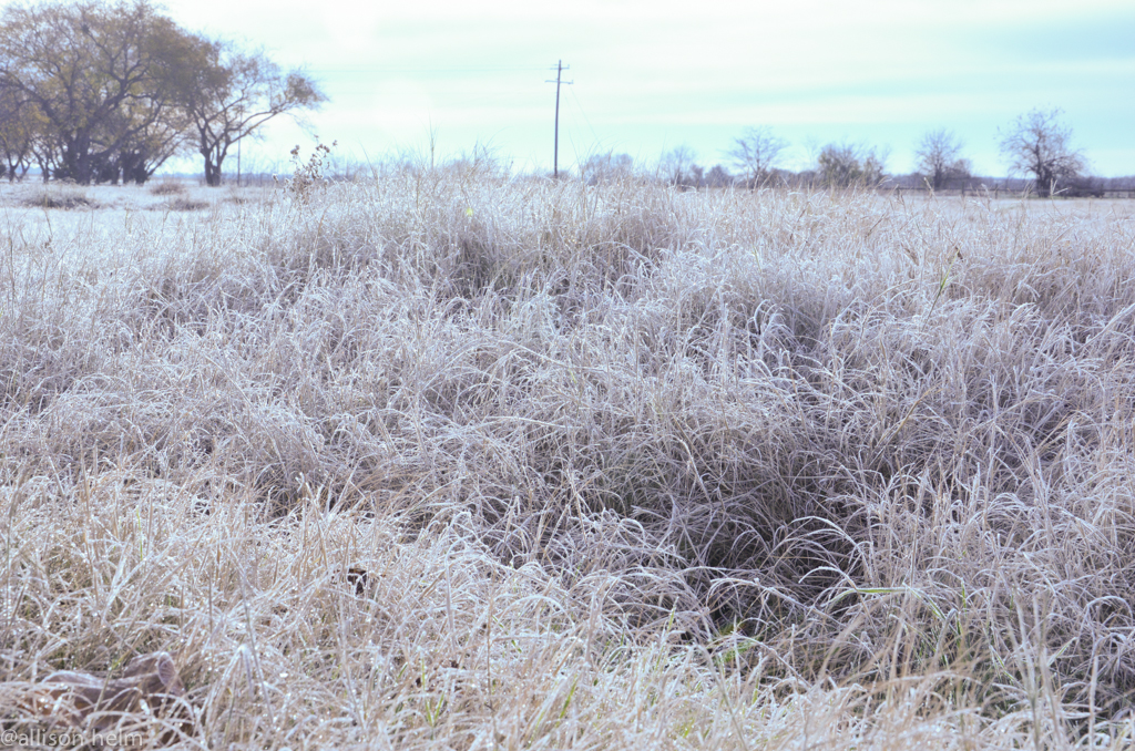
Related Photos:

Hole 7 2014 AWD Selah Ranch, TX IMG_20140405_135007

Sunset at Cypress Creek Lake. Somewhere in Texas. Life is better at the lake. #exploringtexas #lakelife

Great day for a bike ride. @wramsay20 #ridingmybike
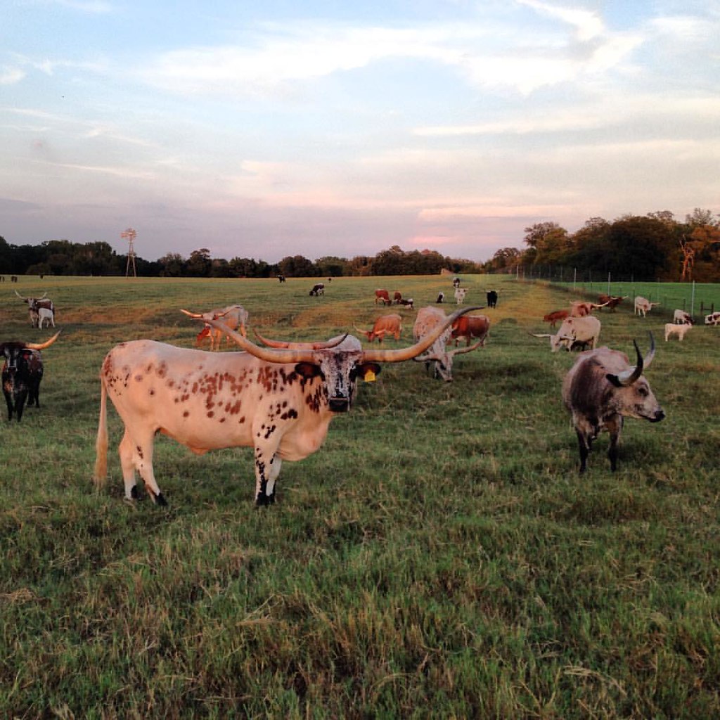
Longhorns ranch. Cows, bull, and red deers. #onlyintexas #exploringtexas #texasexpedition #zulucreekranch
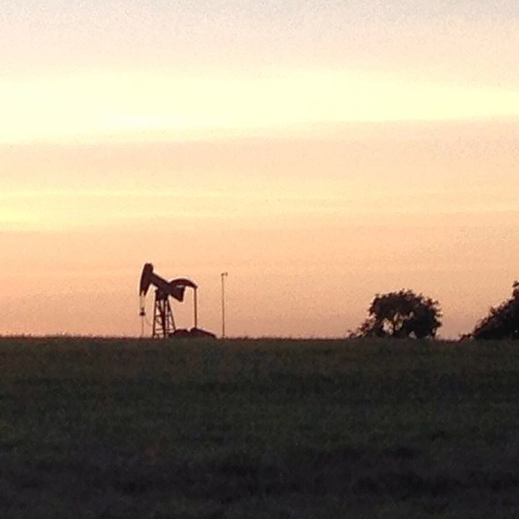
Oil well somewhere in Texas. #onlyintexas #exploringtexas #texasexpedition

Early Spring Sunrise

Hi from 33k feet. This is without a doubt one of the most beautiful things I've ever been witness to. This #hipstamatic shot from my iPad doesn't do it justice. Luckily, I have one of my cameras with me. Will post later. :)
texastg-22

Hipstamatic Sunset
texastgiphone-39
texastgiphone-6

texastgiphone-5
Smoke outside of Dallas

2014 AMWD Selah Ranch TX IMG_0420
texastg-7

Days End Coming In 2014 AMWD Selah Ranch TX IMG_0211
Topographic Map of Franklin County, TX, USA
Find elevation by address:

Places in Franklin County, TX, USA:
Places near Franklin County, TX, USA:
Mount Vernon
2nd, Winfield, TX, USA
Winfield
20 Southwest, Winfield, TX, USA
13 County Rd FM, Mt Vernon, TX, USA
Saltillo
FM 21, Pittsburg, TX, USA
FM, Saltillo, TX, USA
513 County Rd 2940
TX-37, Winnsboro, TX, USA
Talco
County Road 2375
Fm, Talco, TX, USA
FM, Scroggins, TX, USA
FM, Scroggins, TX, USA
Farm To Market Road 2152
Farm To Market Road 2152
Titus County
12 Northwest, Mt Pleasant, TX, USA
Mount Pleasant
Recent Searches:
- Elevation of Corso Fratelli Cairoli, 35, Macerata MC, Italy
- Elevation of Tallevast Rd, Sarasota, FL, USA
- Elevation of 4th St E, Sonoma, CA, USA
- Elevation of Black Hollow Rd, Pennsdale, PA, USA
- Elevation of Oakland Ave, Williamsport, PA, USA
- Elevation of Pedrógão Grande, Portugal
- Elevation of Klee Dr, Martinsburg, WV, USA
- Elevation of Via Roma, Pieranica CR, Italy
- Elevation of Tavkvetili Mountain, Georgia
- Elevation of Hartfords Bluff Cir, Mt Pleasant, SC, USA