Elevation of FM, Scroggins, TX, USA
Location: United States > Texas > Franklin County >
Longitude: -95.181450
Latitude: 32.9938109
Elevation: 131m / 430feet
Barometric Pressure: 100KPa
Elevation Map:
Satellite Map:
Related Photos:
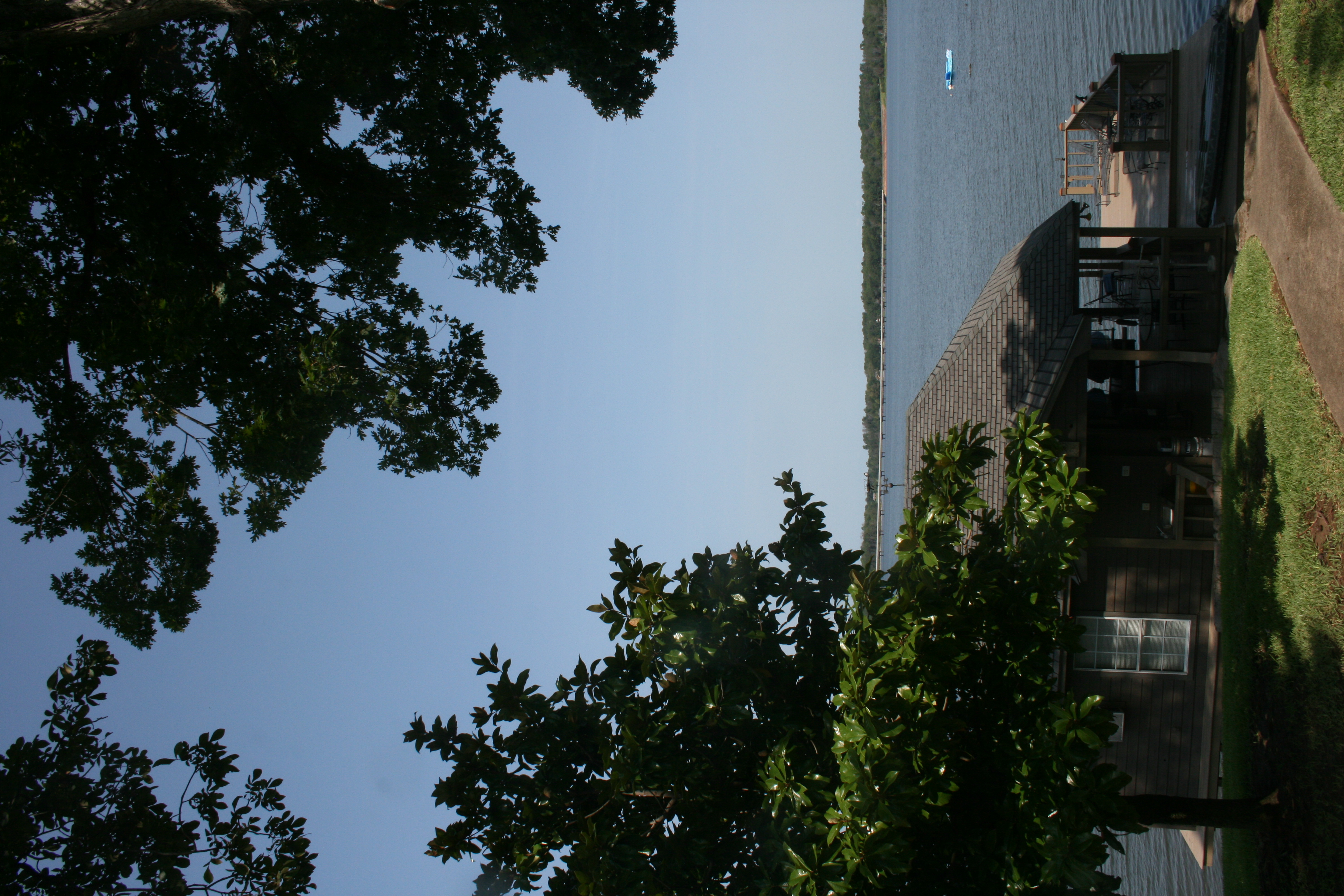
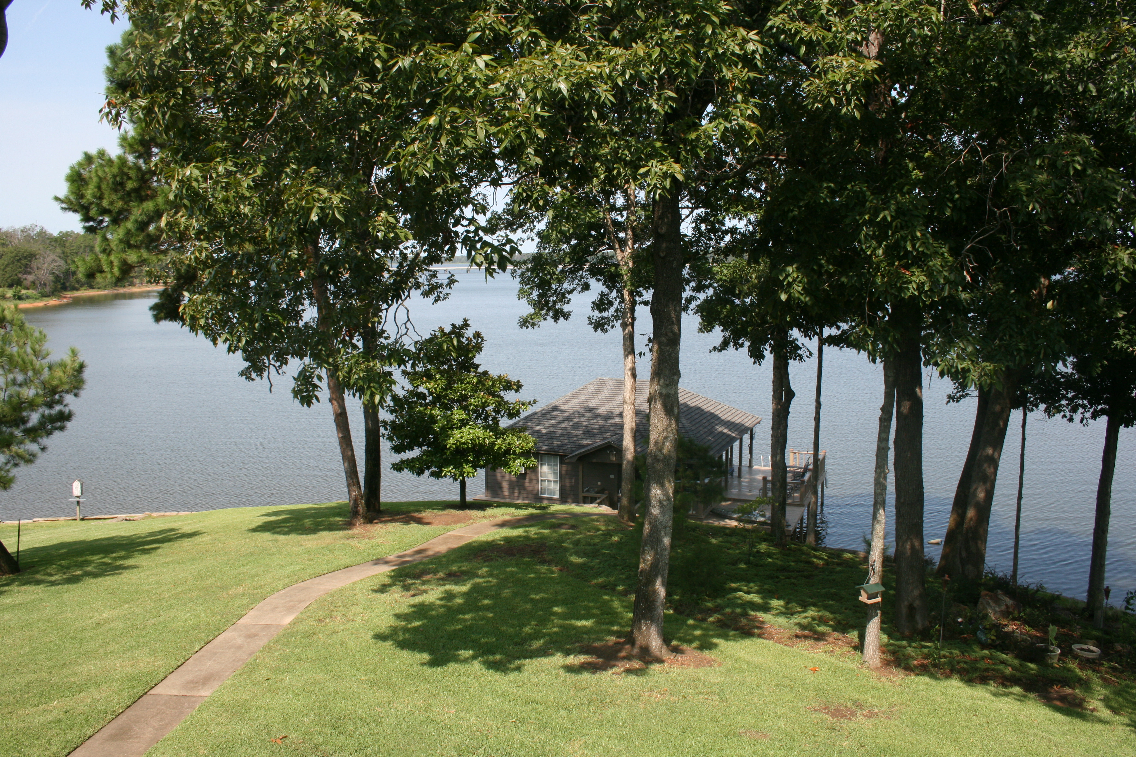
Exterior - Back lake view + boat house 1-2
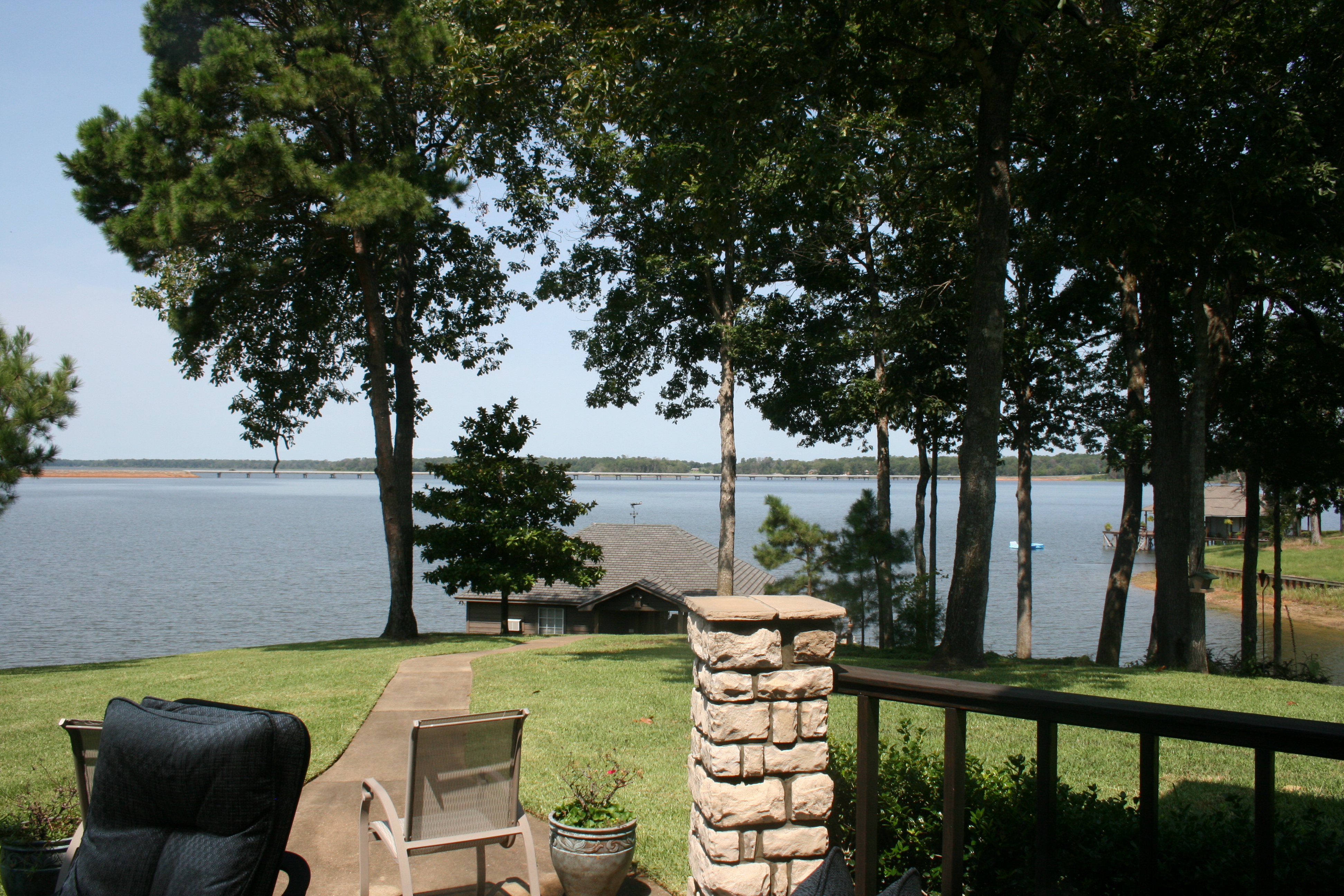
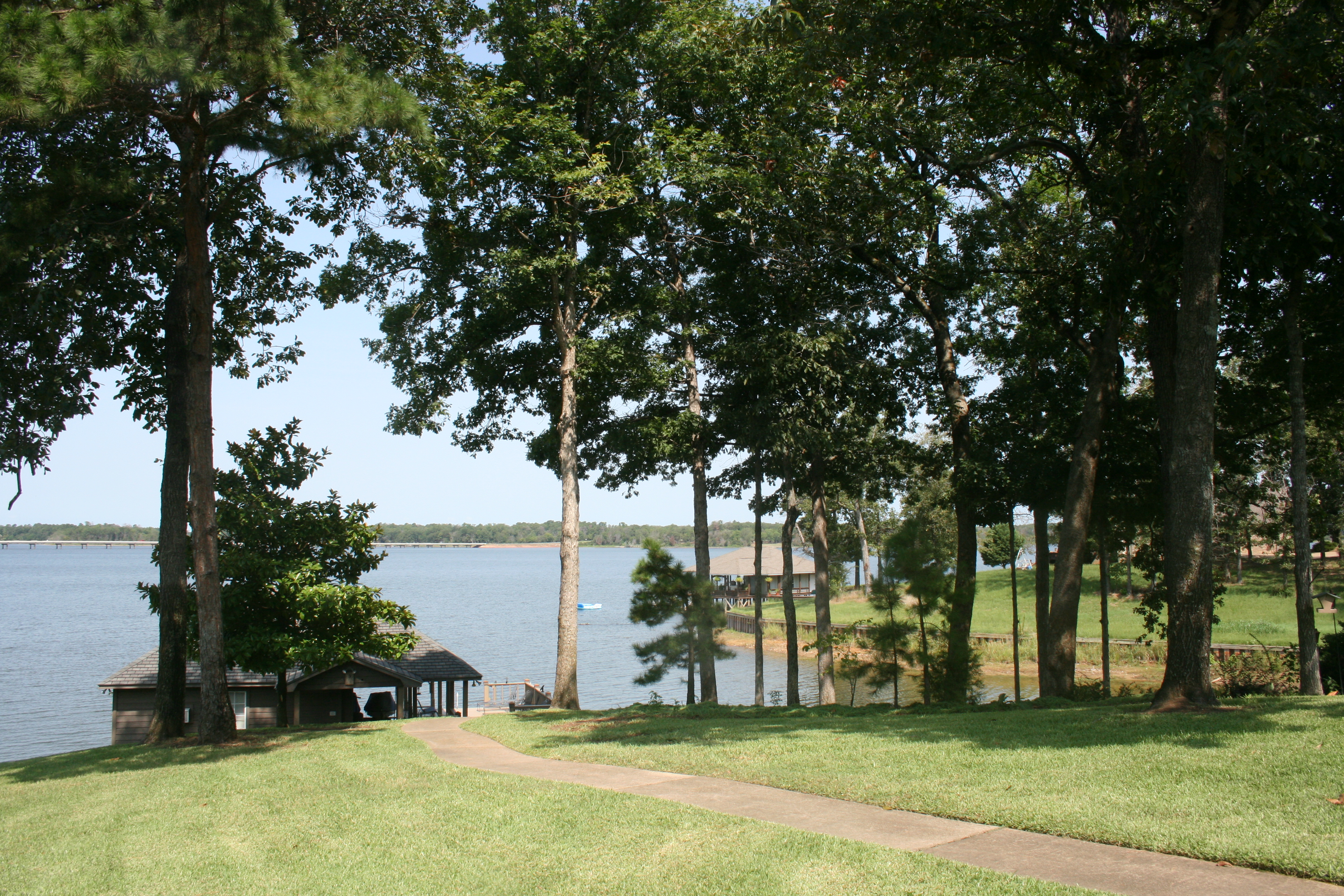
Exterior - Back deck lake view 1-3
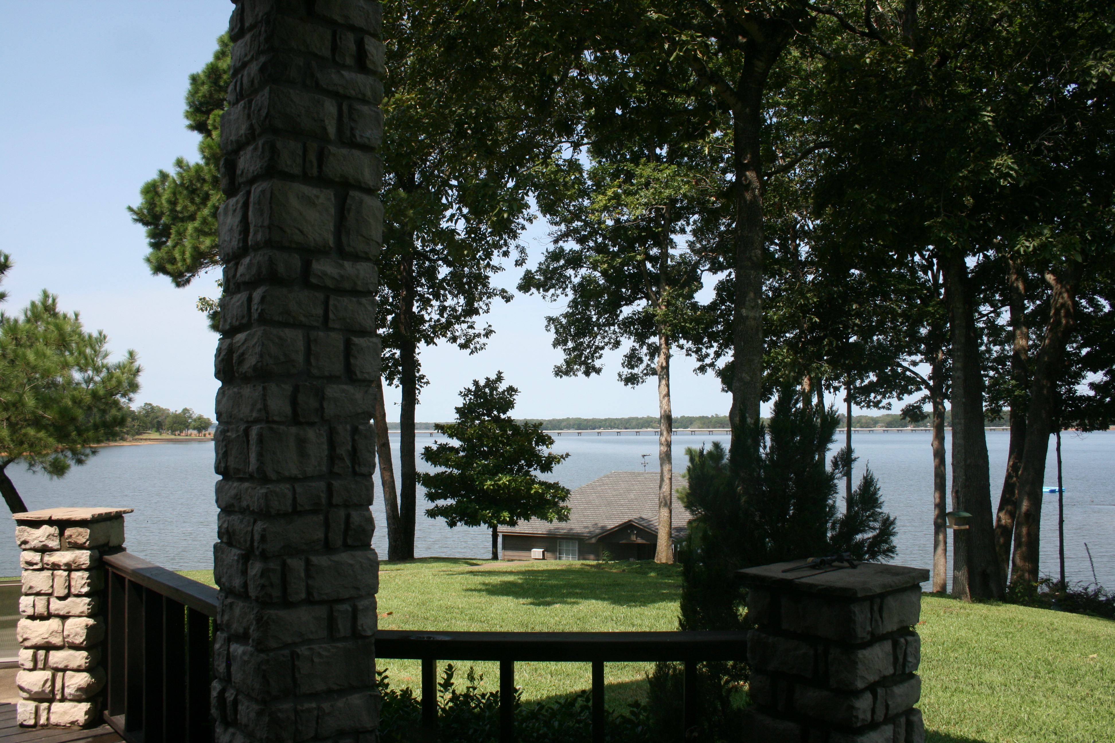
Exterior - Back deck lake view 1-1

View entering from front door
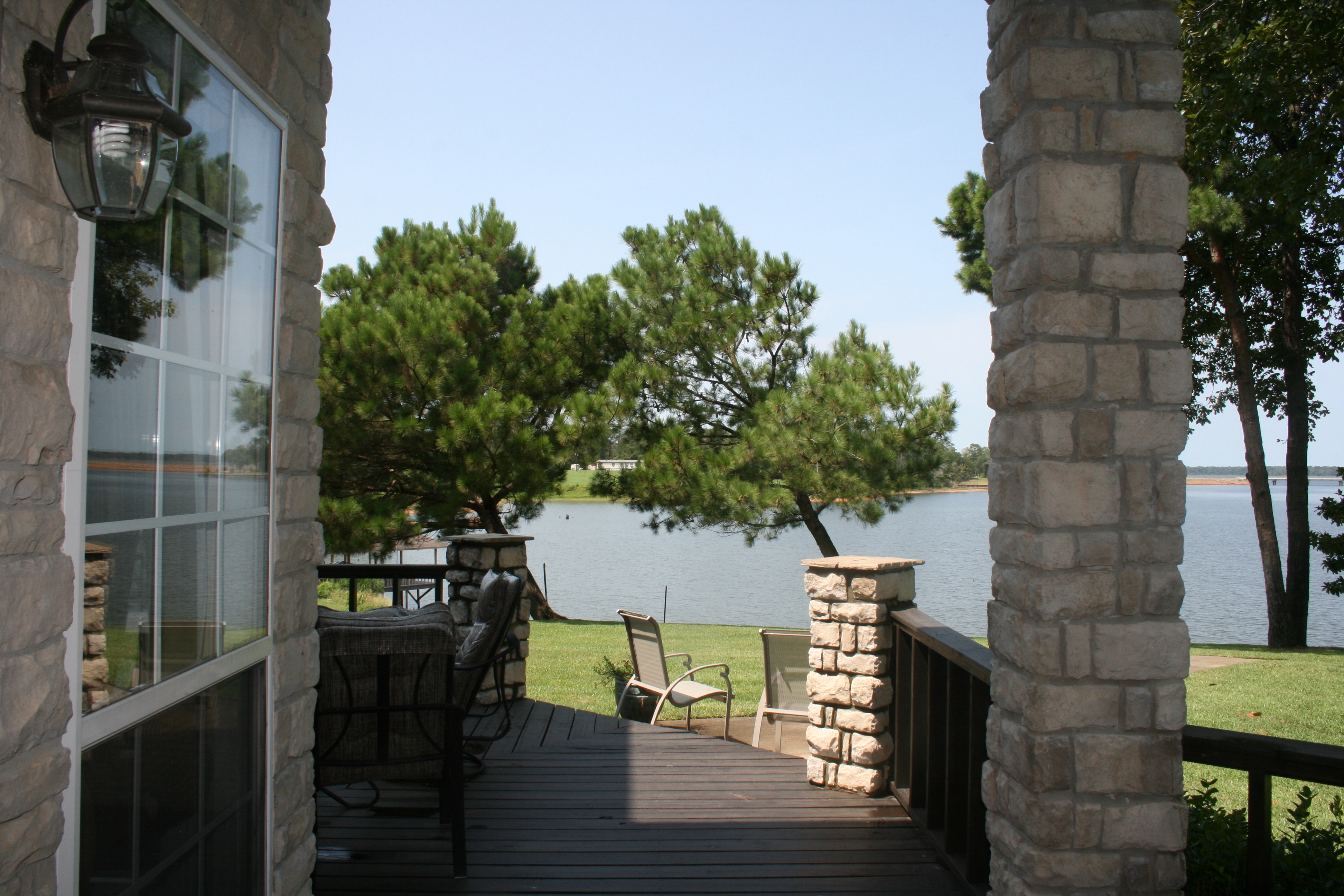
Exterior - Back deck lake view 1-2
Second Floor Game Room view
Exterior - Back lake view + boat house 1-1
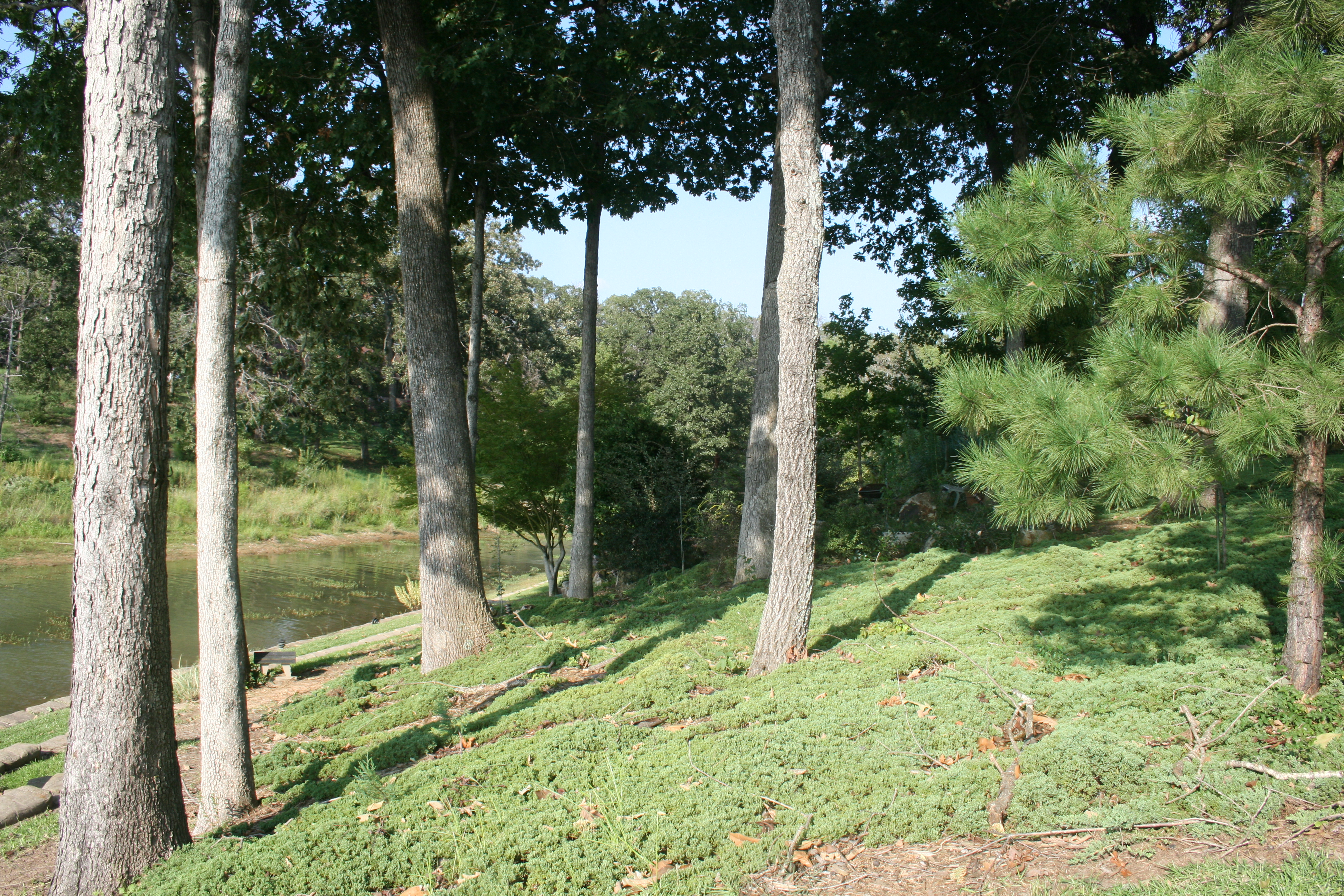
Exterior - Back yard 1-3

Sunset on Lake Cypress Springs, Texas

Sunset at Cypress Creek Lake. Somewhere in Texas. Life is better at the lake. #exploringtexas #lakelife
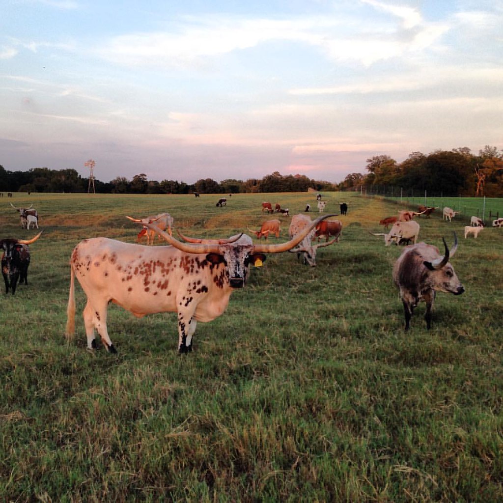
Longhorns ranch. Cows, bull, and red deers. #onlyintexas #exploringtexas #texasexpedition #zulucreekranch
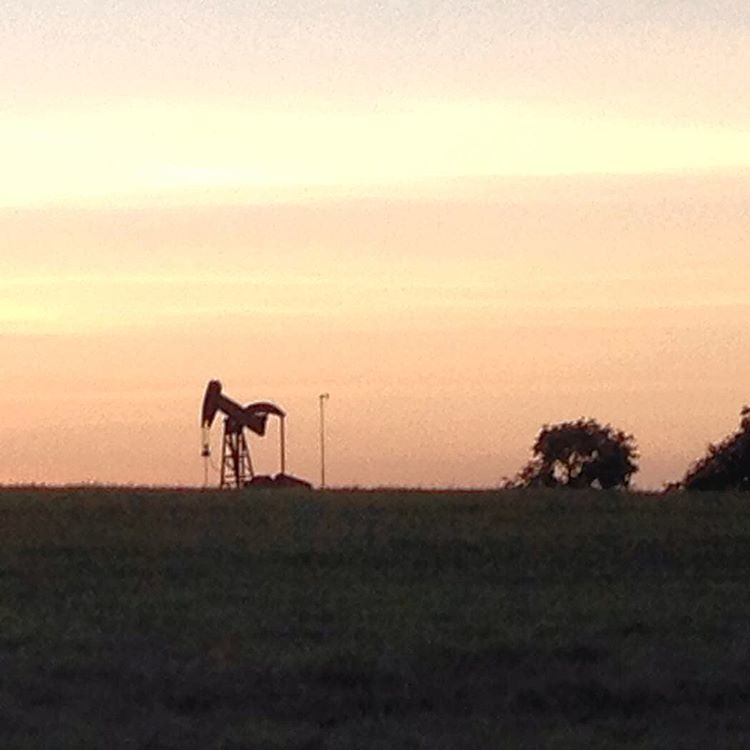
Oil well somewhere in Texas. #onlyintexas #exploringtexas #texasexpedition
Topographic Map of FM, Scroggins, TX, USA
Find elevation by address:

Places near FM, Scroggins, TX, USA:
FM, Scroggins, TX, USA
513 County Rd 2940
TX-37, Winnsboro, TX, USA
FM 21, Pittsburg, TX, USA
13 County Rd FM, Mt Vernon, TX, USA
Winnsboro
500 Helena Dr
500 Helena Dr
500 Helena Dr
870 W Broadway St
20 Southwest, Winfield, TX, USA
County Road 2375
FM, Pittsburg, TX, USA
FM, Saltillo, TX, USA
Winfield
2nd, Winfield, TX, USA
Camp County
FM, Pittsburg, TX, USA
Mount Vernon
Franklin County
Recent Searches:
- Elevation of East W.T. Harris Boulevard, E W.T. Harris Blvd, Charlotte, NC, USA
- Elevation of West Sugar Creek, Charlotte, NC, USA
- Elevation of Wayland, NY, USA
- Elevation of Steadfast Ct, Daphne, AL, USA
- Elevation of Lagasgasan, X+CQH, Tiaong, Quezon, Philippines
- Elevation of Rojo Ct, Atascadero, CA, USA
- Elevation of Flagstaff Drive, Flagstaff Dr, North Carolina, USA
- Elevation of Avery Ln, Lakeland, FL, USA
- Elevation of Woolwine, VA, USA
- Elevation of Lumagwas Diversified Farmers Multi-Purpose Cooperative, Lumagwas, Adtuyon, RV32+MH7, Pangantucan, Bukidnon, Philippines