Elevation of Fosters Mill Rd, Rome, GA, USA
Location: United States > Georgia > Floyd County > Rome >
Longitude: -85.33845
Latitude: 34.17186
Elevation: 185m / 607feet
Barometric Pressure: 99KPa
Elevation Map:
Satellite Map:
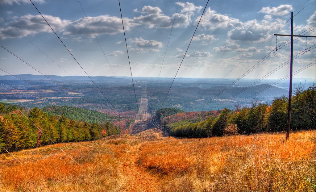
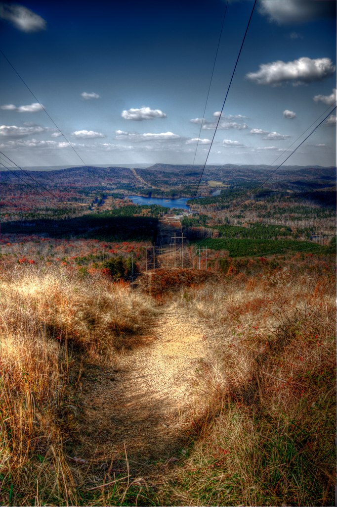
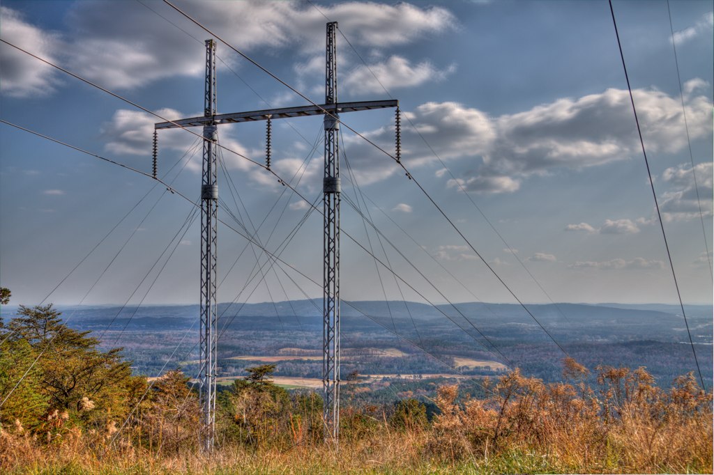
Related Photos:

Awaiting the Pay Train at the Lindale Station, Floyd County, Georgia ca. 1937
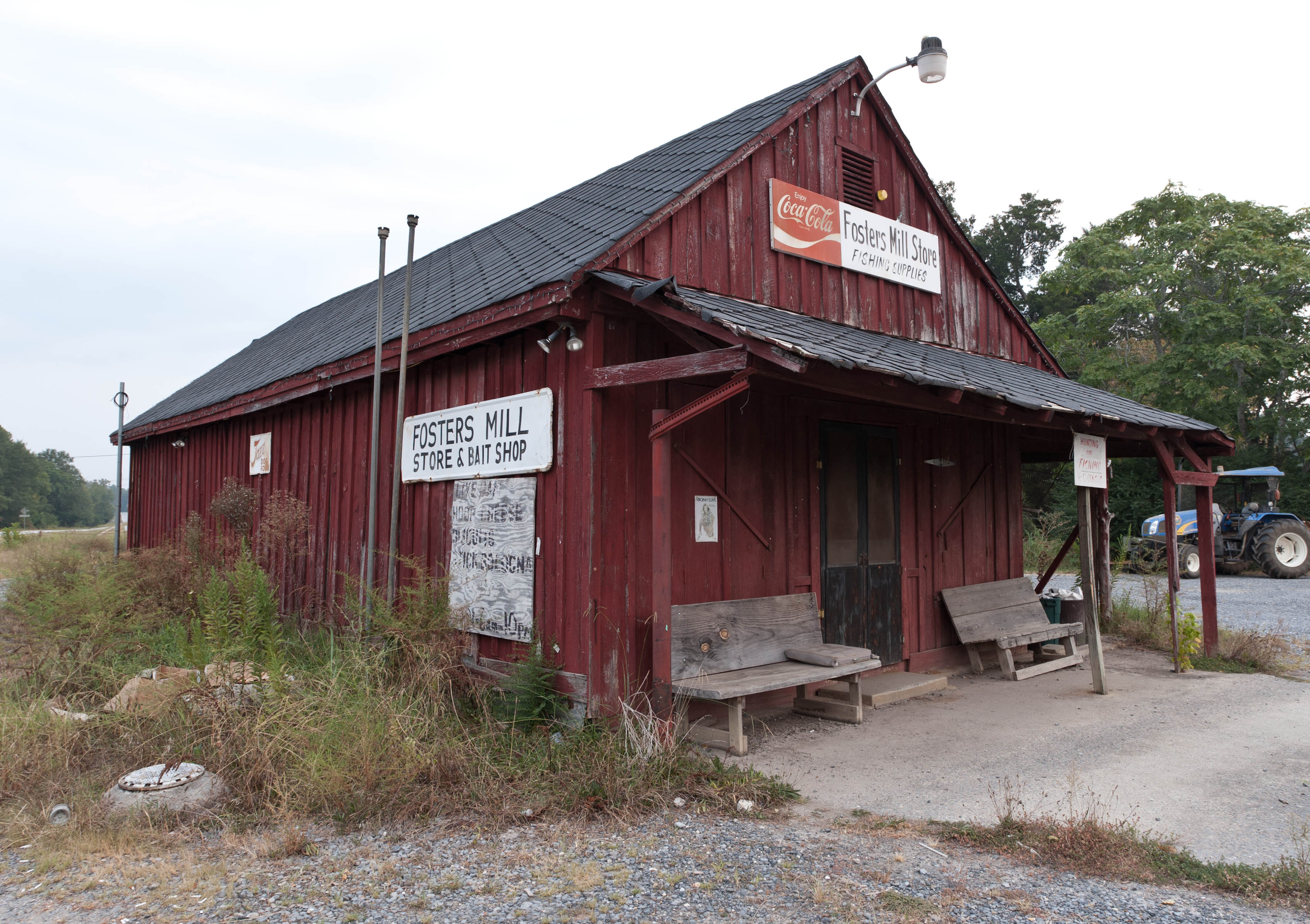
Fishing Supplies

Through The Trippeer Arch

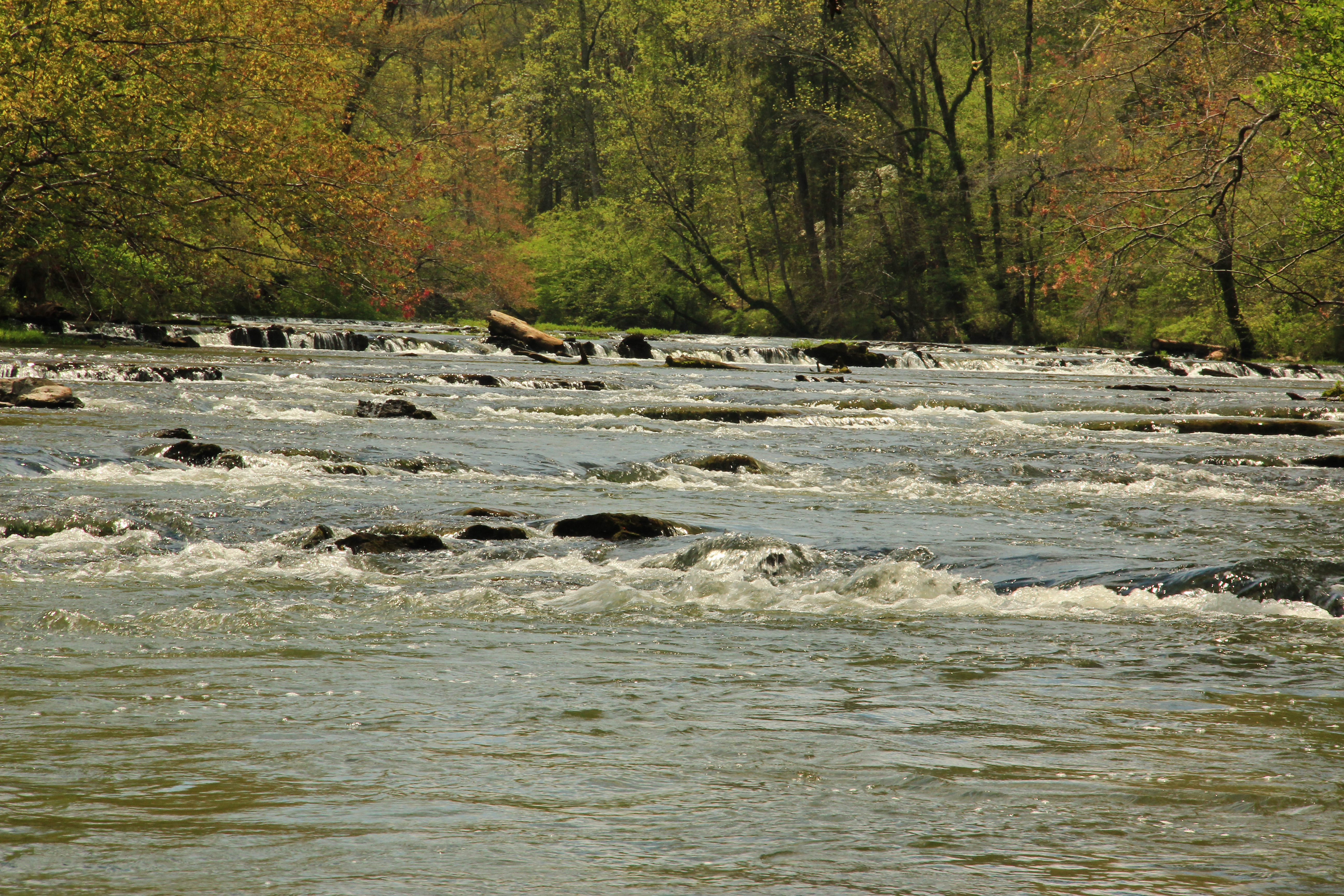
Mill_Creek_Falls_12032011_HDR_001.jpg
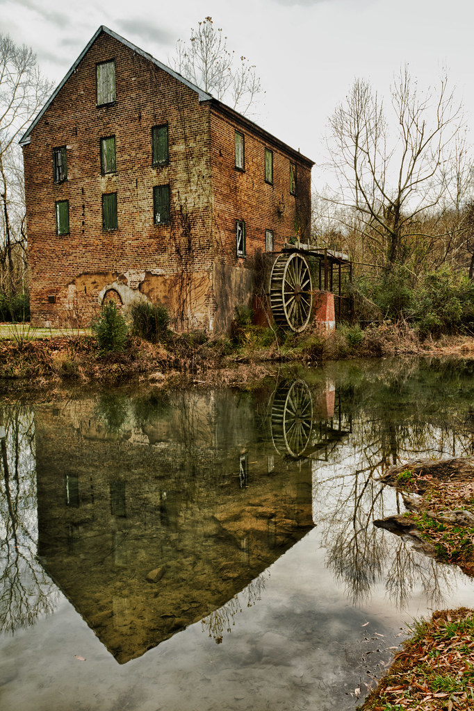
Lindale_Waterwheel_12202011_HDR_006.jpg
Going Native
Big Cedar Creek, Floyd County, Georgia 5
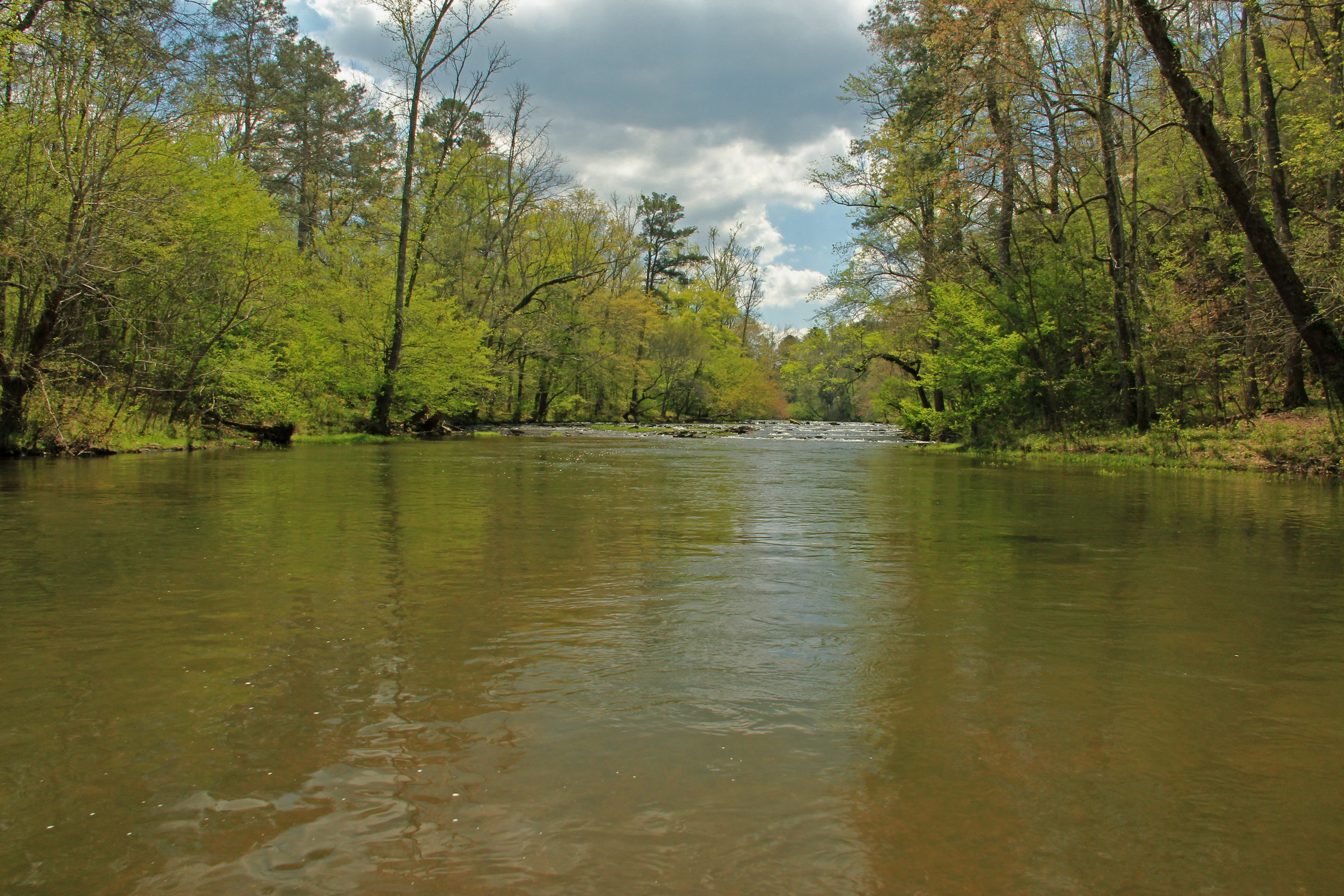
Big Cedar Creek, Floyd County, Georgia 2
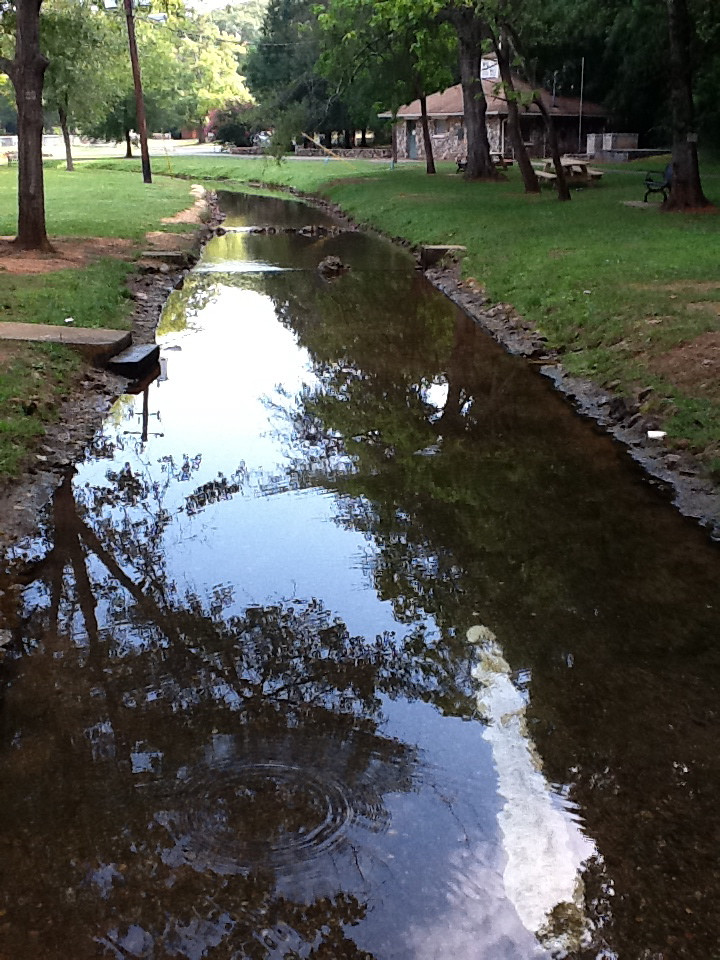
Rolater Park / iPad 2 Camera, August 13, 2011
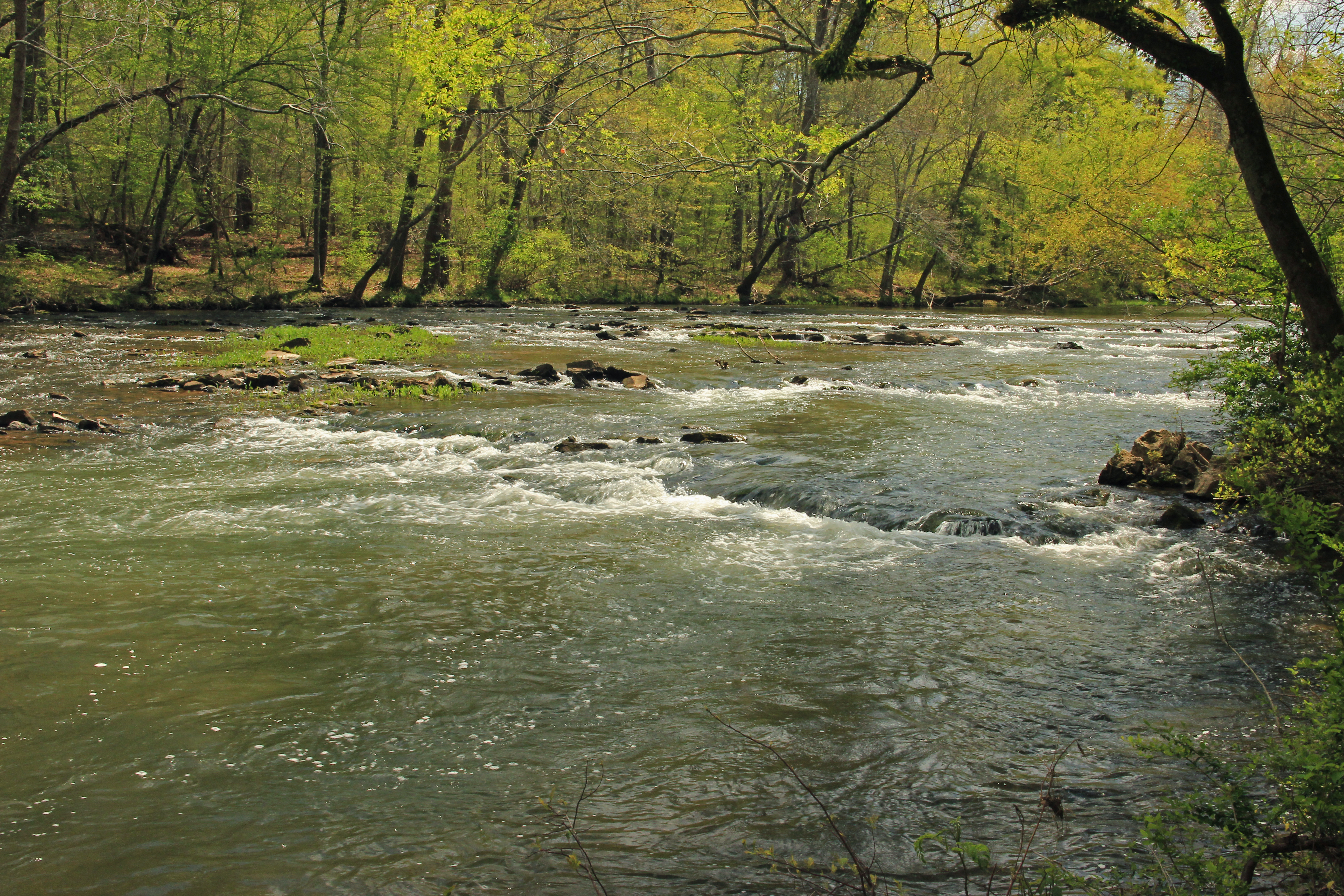
Big Cedar Creek, Floyd County, Georgia 3
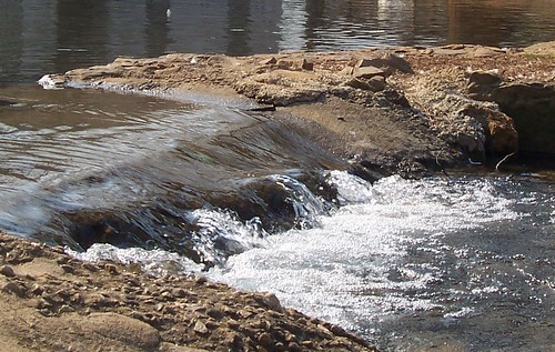
The Dam
Lavender Trail_MG_3829
Lavender Trail 2_MG_3841
Lavender Trail_MG_3835

RR Trestle Over Stream IMG_2621

Kudzu and Mountains

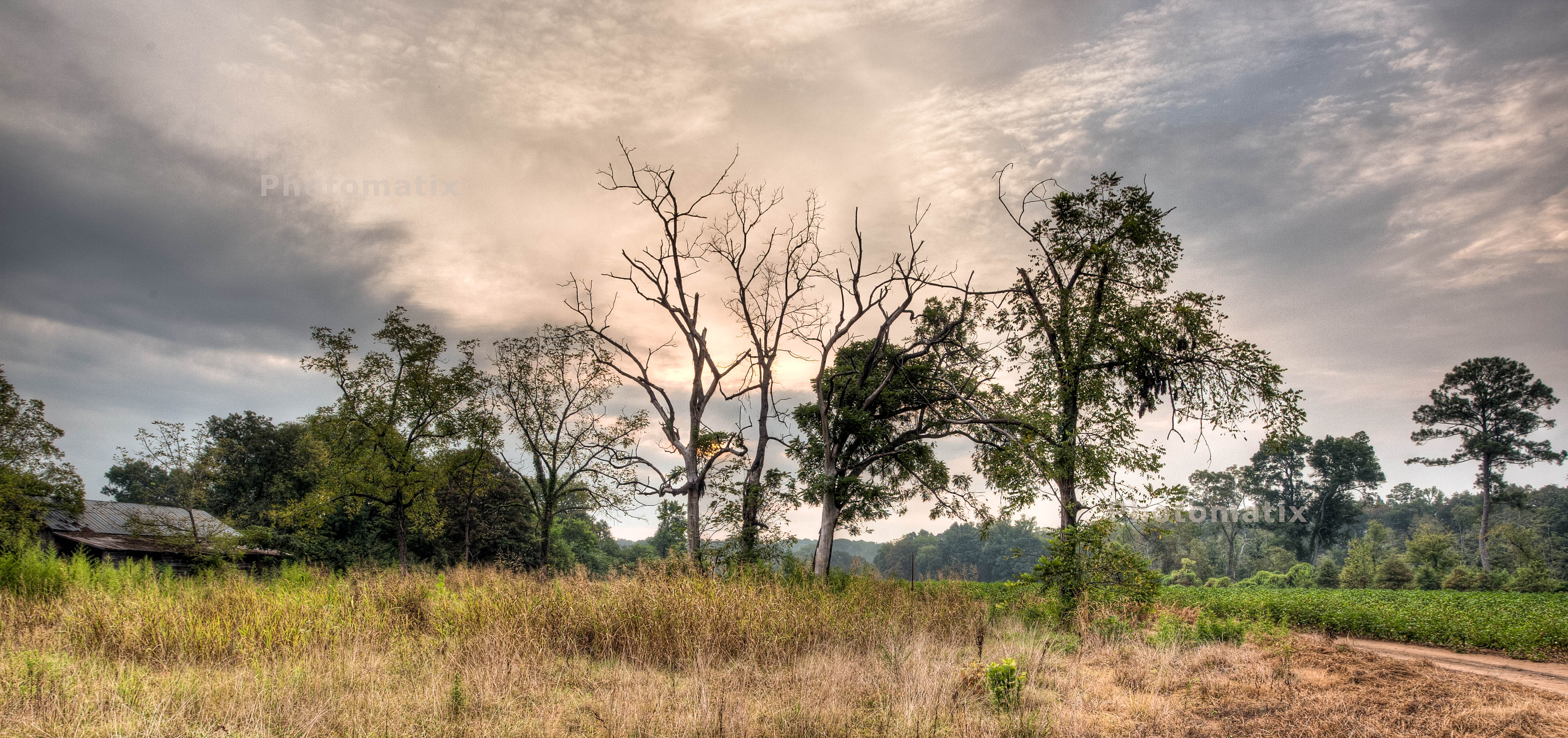
Tree In Field IMG_2588
Topographic Map of Fosters Mill Rd, Rome, GA, USA
Find elevation by address:

Places near Fosters Mill Rd, Rome, GA, USA:
1997 Fosters Mill Rd
125 Joy Dr Sw
Cave Spring
19 Old Cedartown Rd, Cave Spring, GA, USA
Cunningham Rd SW, Rome, GA, USA
22 Highlander Trail Sw
26 Oreburg Rd SW, Rome, GA, USA
544 Chubb Rd
51 Cedar Ln Nw
20 Rivermont Dr SW, Rome, GA, USA
2 Pinecrest Dr NW, Rome, GA, USA
1420 Radio Springs Rd Sw
1499 Mt Alto Rd Sw
Alabama Hwy, Rome, GA, USA
279 River Ln Sw
176 N Avery Rd Nw
176 N Avery Rd Nw
83 Fairview Rd SW, Rome, GA, USA
2 Alkaid St NW, Rome, GA, USA
1165 Blacks Bluff Rd Sw
Recent Searches:
- Elevation of Vista Blvd, Sparks, NV, USA
- Elevation of 15th Ave SE, St. Petersburg, FL, USA
- Elevation of Beall Road, Beall Rd, Florida, USA
- Elevation of Leguwa, Nepal
- Elevation of County Rd, Enterprise, AL, USA
- Elevation of Kolchuginsky District, Vladimir Oblast, Russia
- Elevation of Shustino, Vladimir Oblast, Russia
- Elevation of Lampiasi St, Sarasota, FL, USA
- Elevation of Elwyn Dr, Roanoke Rapids, NC, USA
- Elevation of Congressional Dr, Stevensville, MD, USA