Elevation of Chubb Rd, Lindale, GA, USA
Location: United States > Georgia > Floyd County > Lindale >
Longitude: -85.265759
Latitude: 34.1063917
Elevation: 290m / 951feet
Barometric Pressure: 98KPa
Elevation Map:
Satellite Map:
Related Photos:
Framed Refection
Through The Trippeer Arch
Fishing Supplies
The view from the high point

Clear Shot
G39 at CP Green
Rolater Park / iPad 2 Camera, August 13, 2011
Big Cedar Creek, Floyd County, Georgia 3
Old Cotton Fields
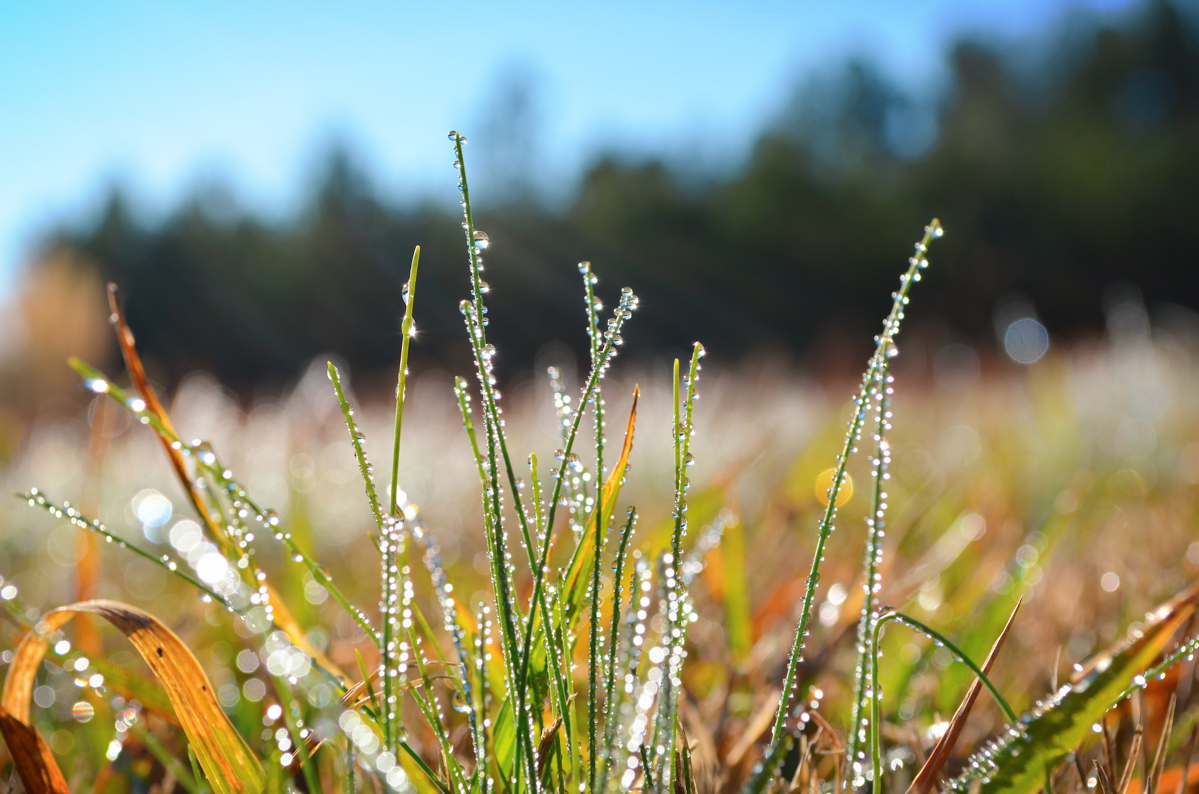
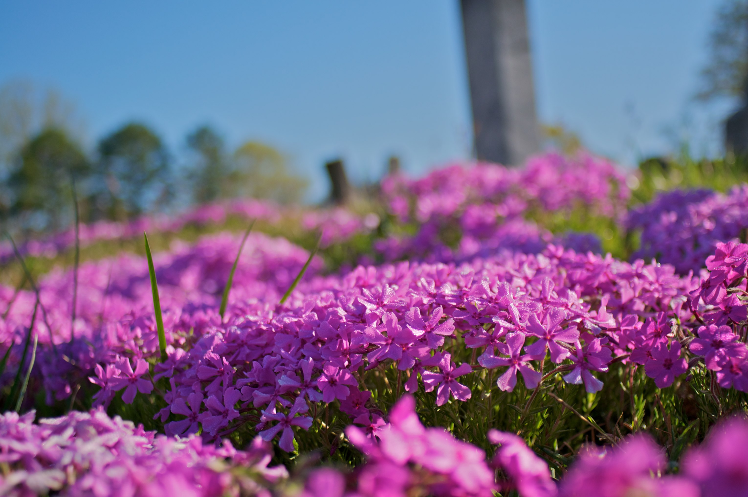
Morning dew

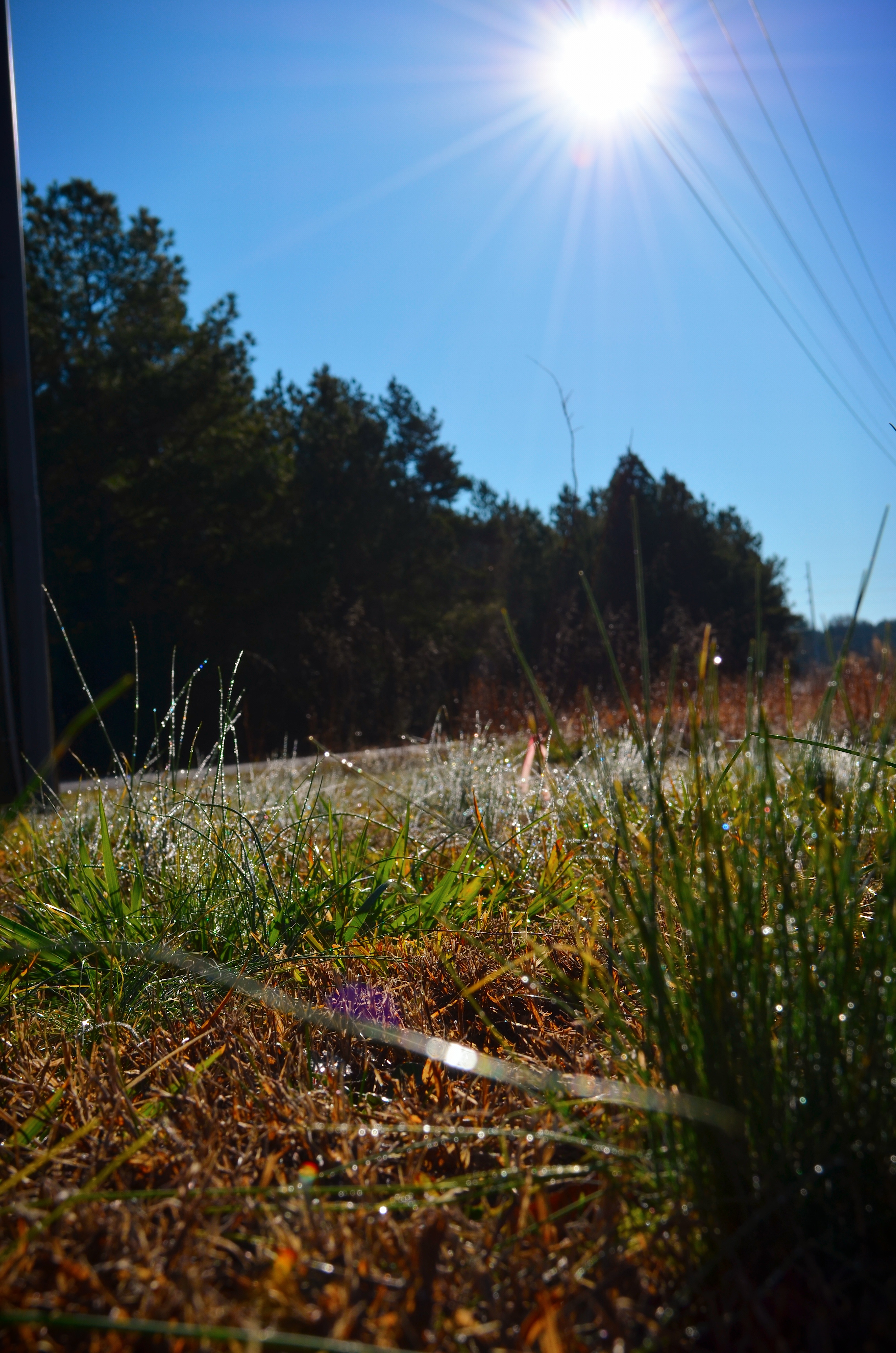
Morning rays
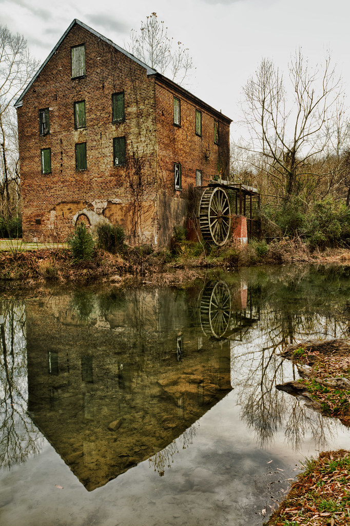
Lindale_Waterwheel_12202011_HDR_006.jpg

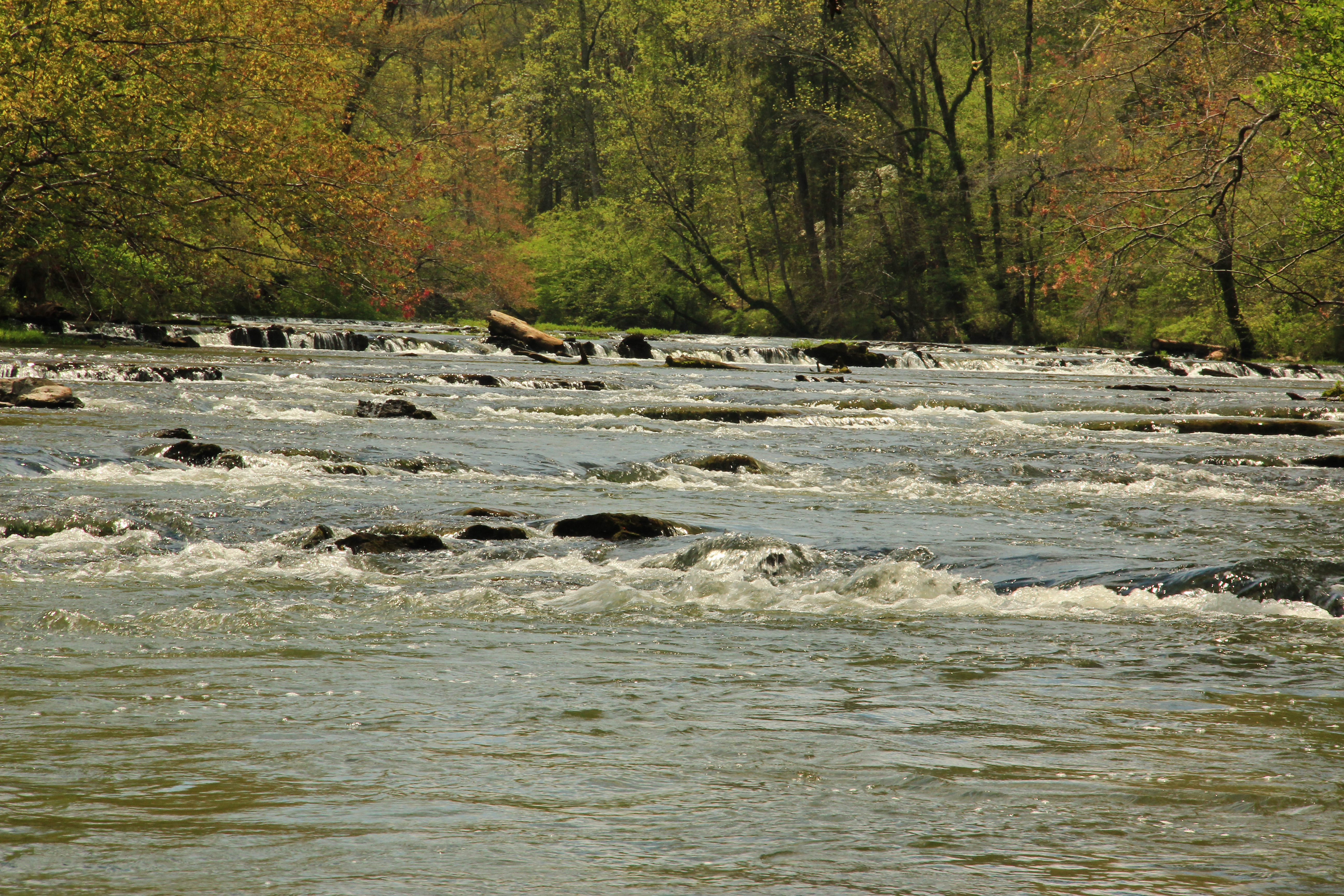
Mill_Creek_Falls_12032011_HDR_001.jpg
Going Native
Big Cedar Creek, Floyd County, Georgia 5
Morning rays
Pleasant Grove 2
2011-06-05_13-01-28_217
Topographic Map of Chubb Rd, Lindale, GA, USA
Find elevation by address:

Places near Chubb Rd, Lindale, GA, USA:
Cunningham Rd SW, Rome, GA, USA
19 Old Cedartown Rd, Cave Spring, GA, USA
Cave Spring
Georgia Highlands College
Cedartown Hwy, Rome, GA, USA
Reeceburg Rd SE, Silver Creek, GA, USA
Fosters Mill Rd, Rome, GA, USA
1386 Reeceburg Rd Se
279 River Ln Sw
20 Rivermont Dr SW, Rome, GA, USA
1165 Blacks Bluff Rd Sw
Booze Mountain Rd, Lindale, GA, USA
Pepperell High School
1499 Mt Alto Rd Sw
83 Fairview Rd SW, Rome, GA, USA
Lindale
156 Center Rd
Silver Creek
1997 Fosters Mill Rd
59 Hall Rd Se
Recent Searches:
- Elevation of Sattva Horizon, 4JC6+G9P, Vinayak Nagar, Kattigenahalli, Bengaluru, Karnataka, India
- Elevation of Great Brook Sports, Gold Star Hwy, Groton, CT, USA
- Elevation of 10 Mountain Laurels Dr, Nashua, NH, USA
- Elevation of 16 Gilboa Ln, Nashua, NH, USA
- Elevation of Laurel Rd, Townsend, TN, USA
- Elevation of 3 Nestling Wood Dr, Long Valley, NJ, USA
- Elevation of Ilungu, Tanzania
- Elevation of Yellow Springs Road, Yellow Springs Rd, Chester Springs, PA, USA
- Elevation of Rēzekne Municipality, Latvia
- Elevation of Plikpūrmaļi, Vērēmi Parish, Rēzekne Municipality, LV-, Latvia