Elevation of Fossil Creek Road, Fossil Creek Rd, Arizona, USA
Location: United States > Arizona > Pine >
Longitude: -111.57636
Latitude: 34.4052749
Elevation: 1673m / 5489feet
Barometric Pressure: 83KPa
Elevation Map:
Satellite Map:
Related Photos:
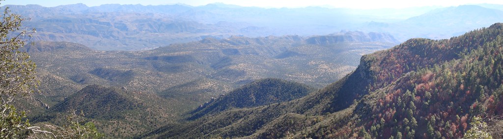
pine mountain view
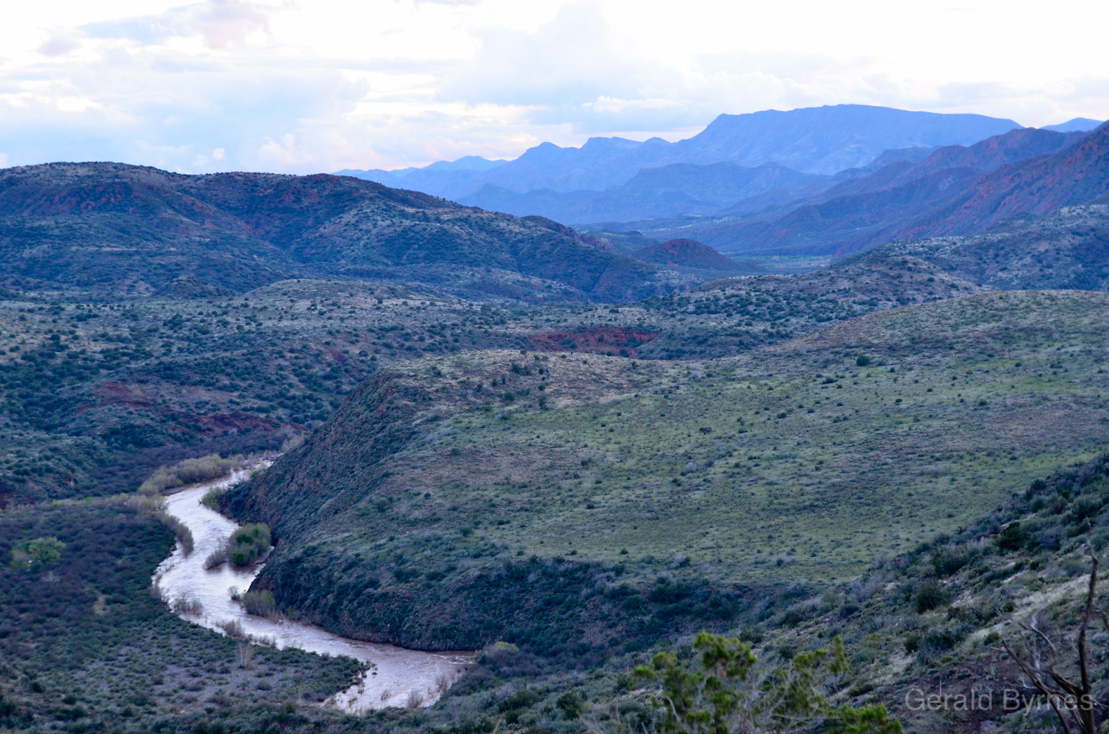
Verde View

Walk way views

Walk way views
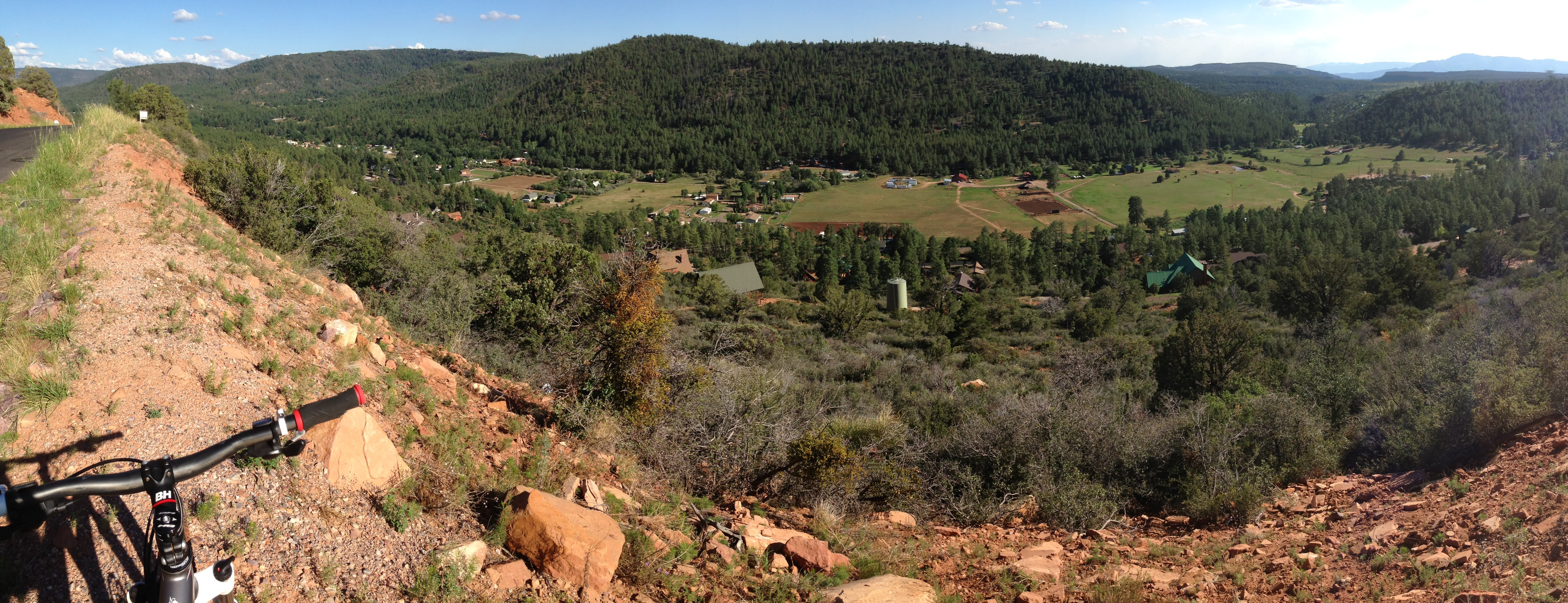
Strawberry Panorama
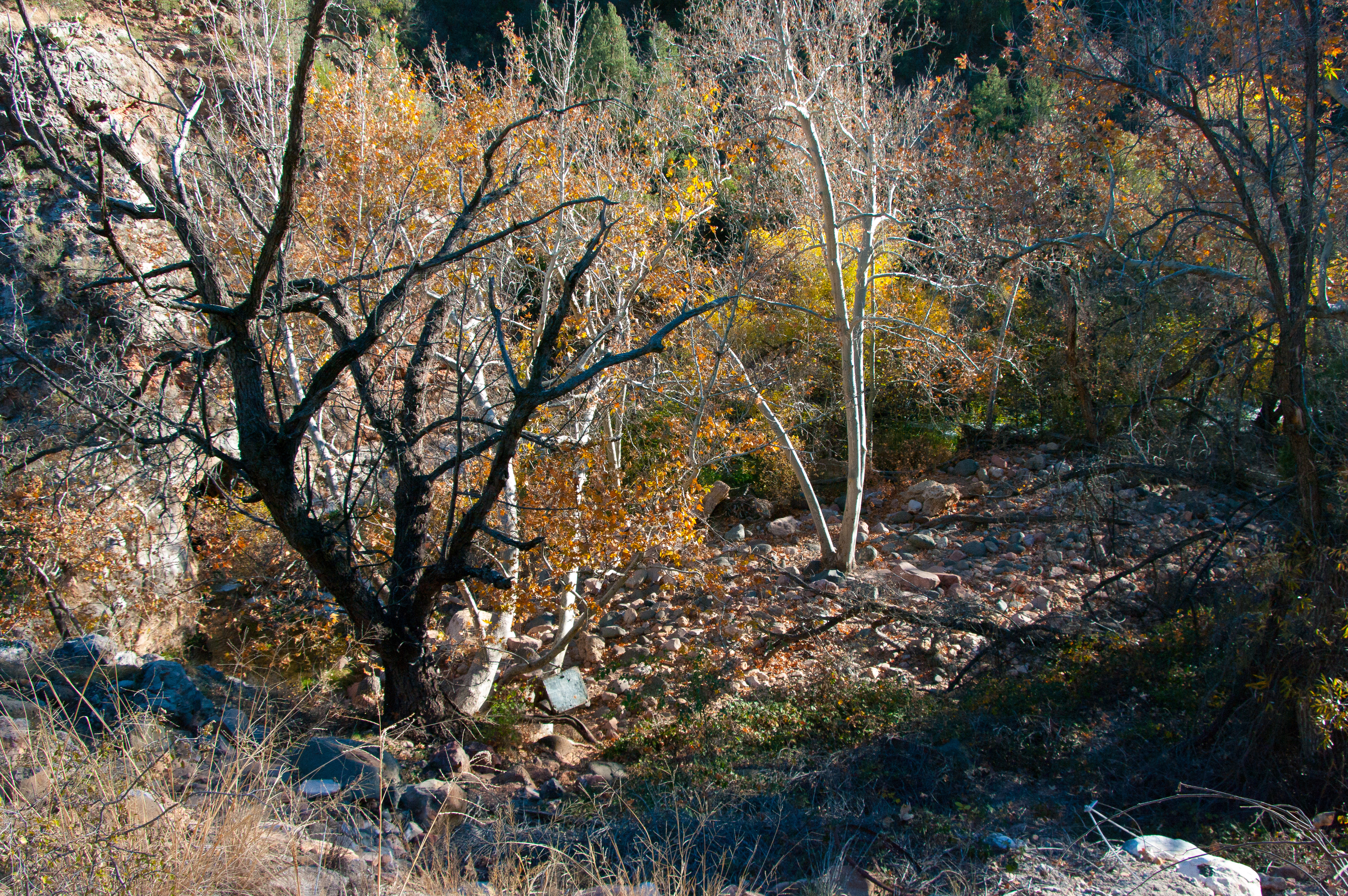
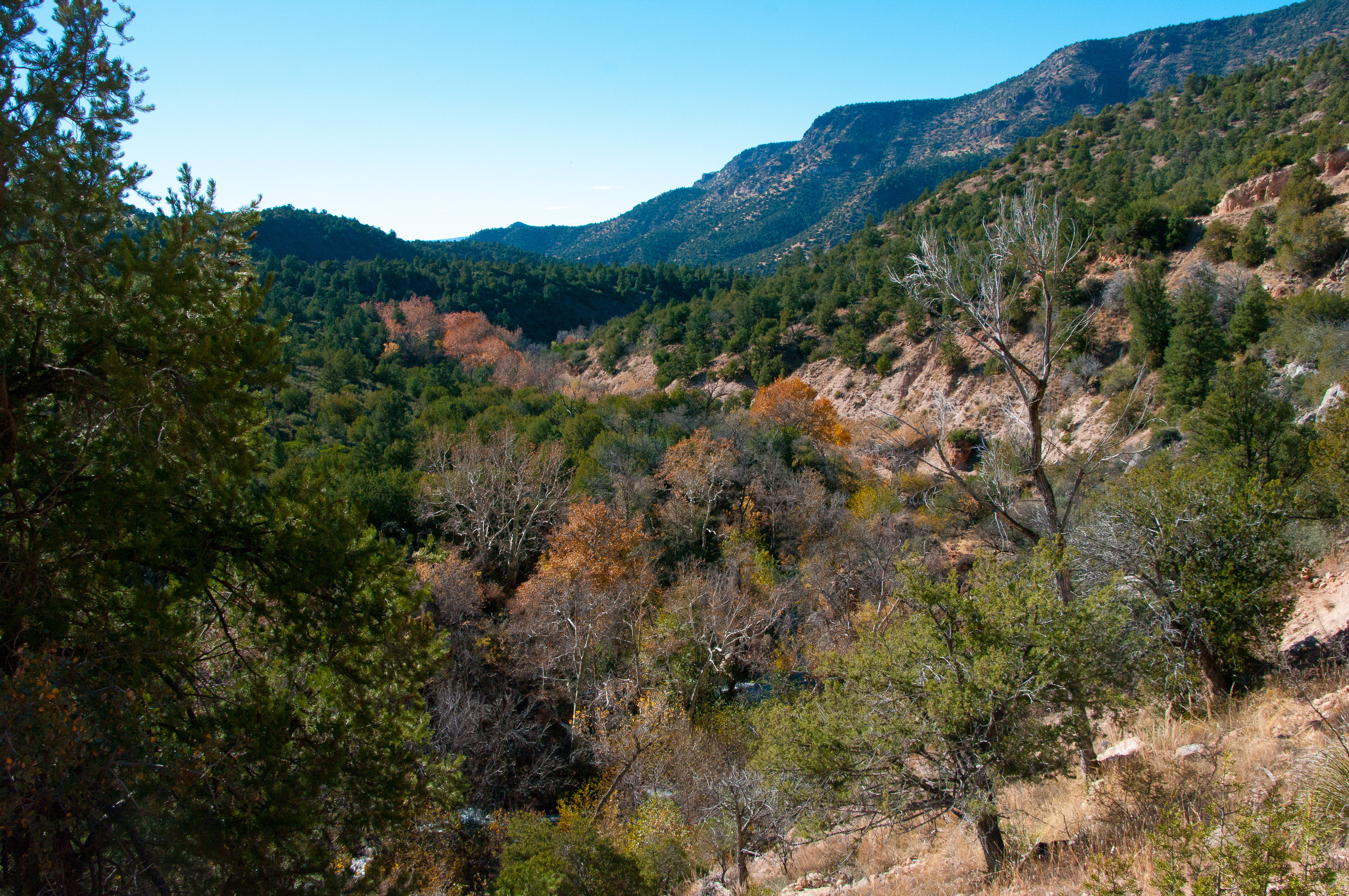
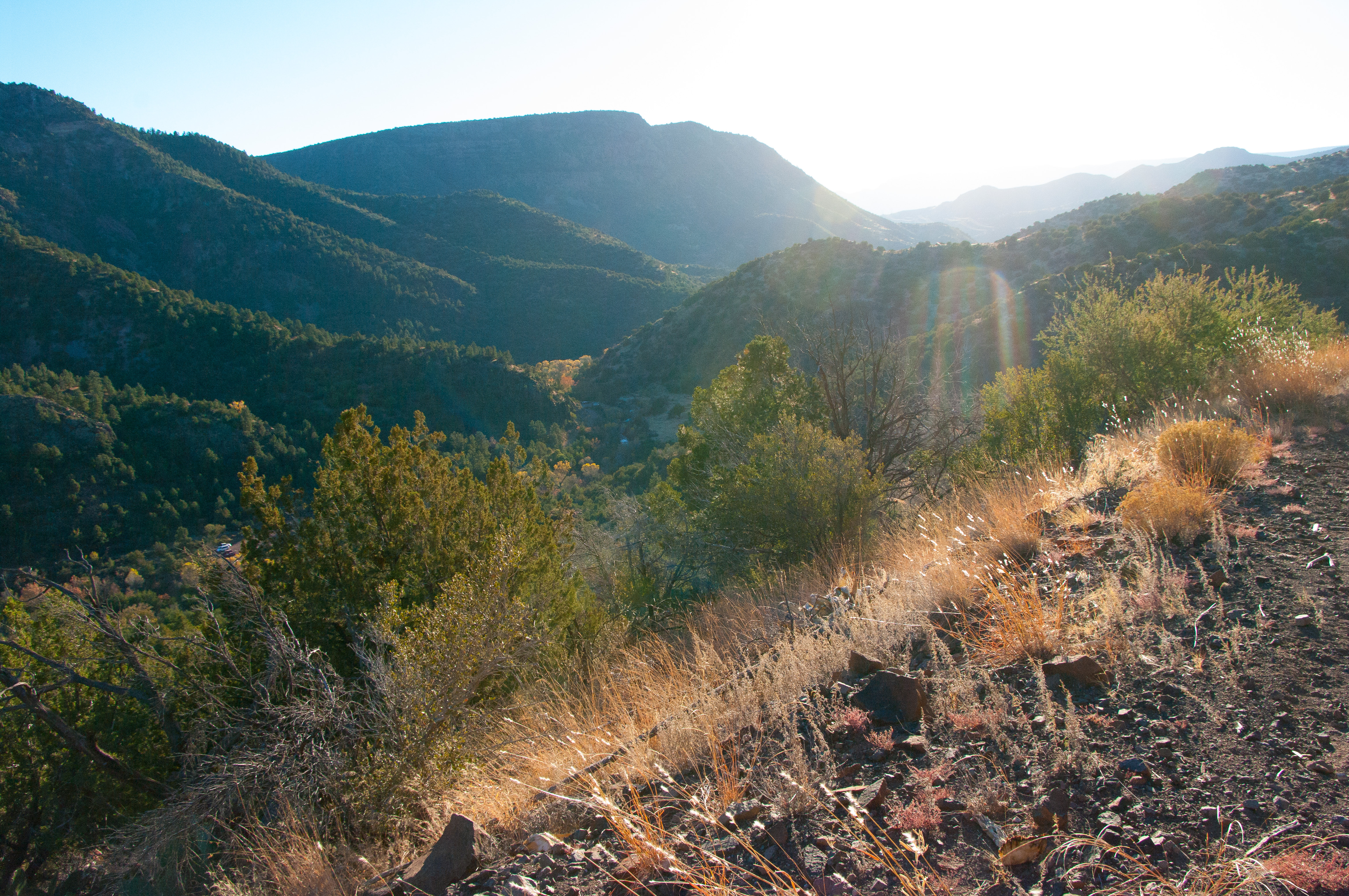
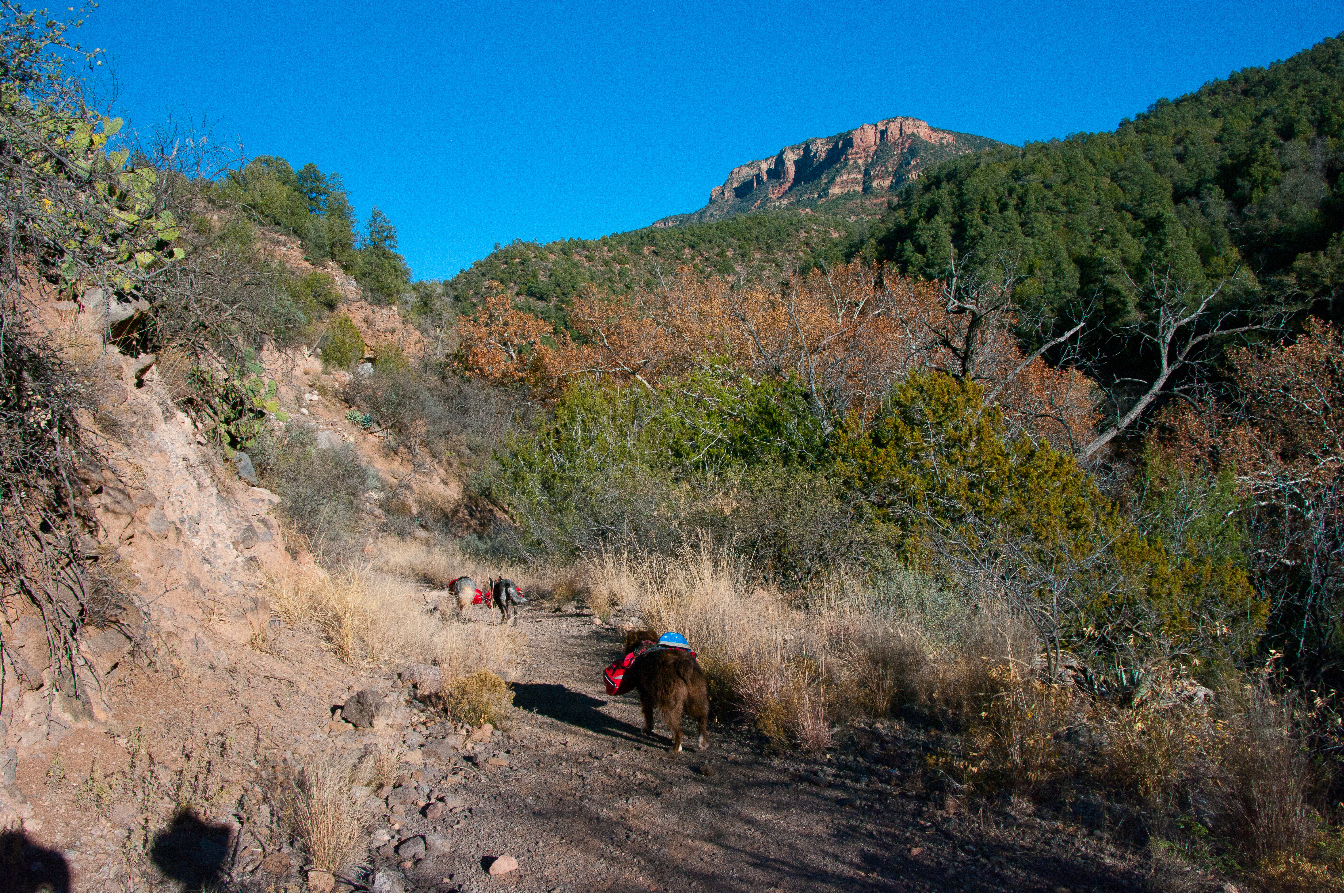
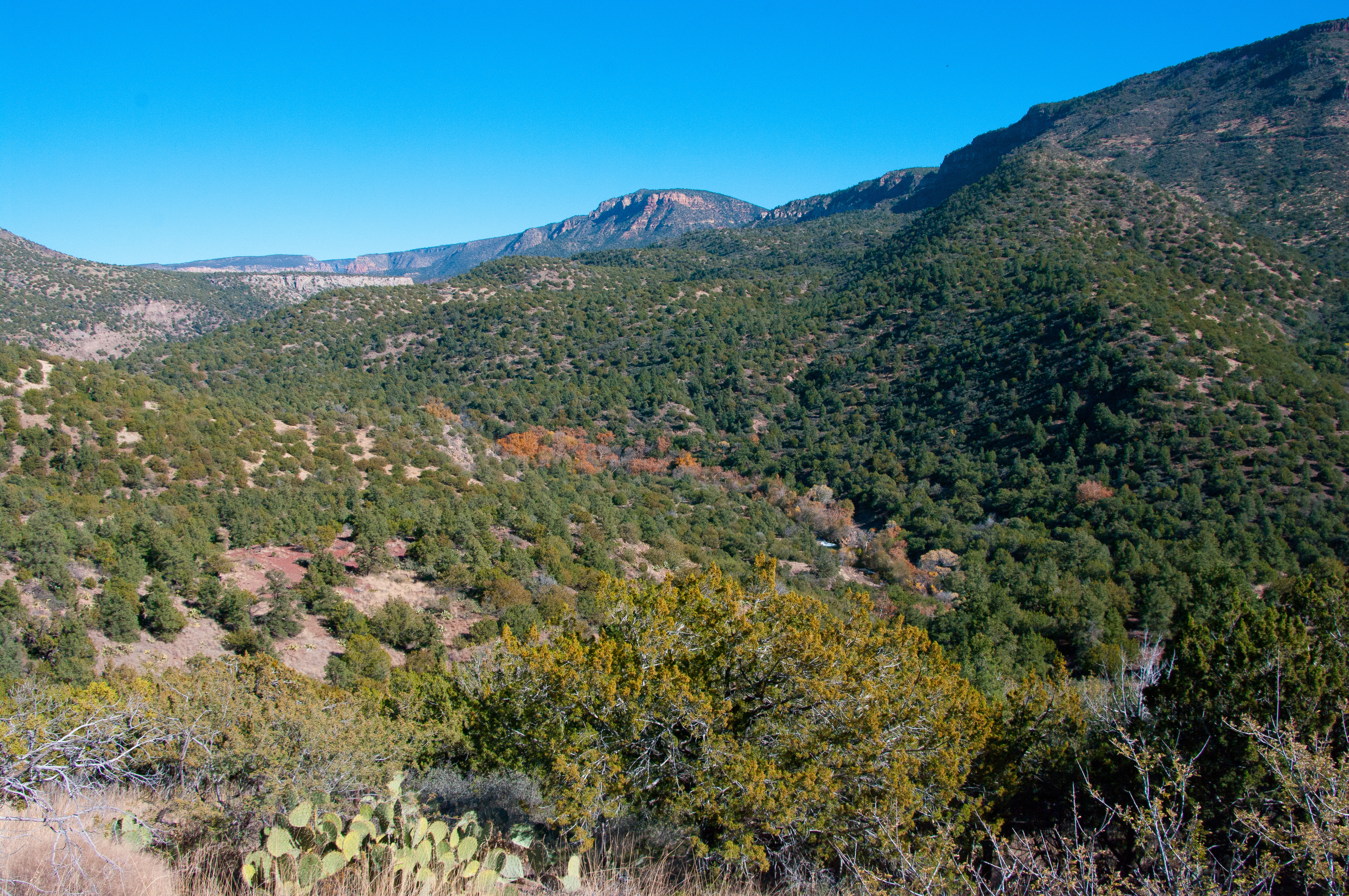
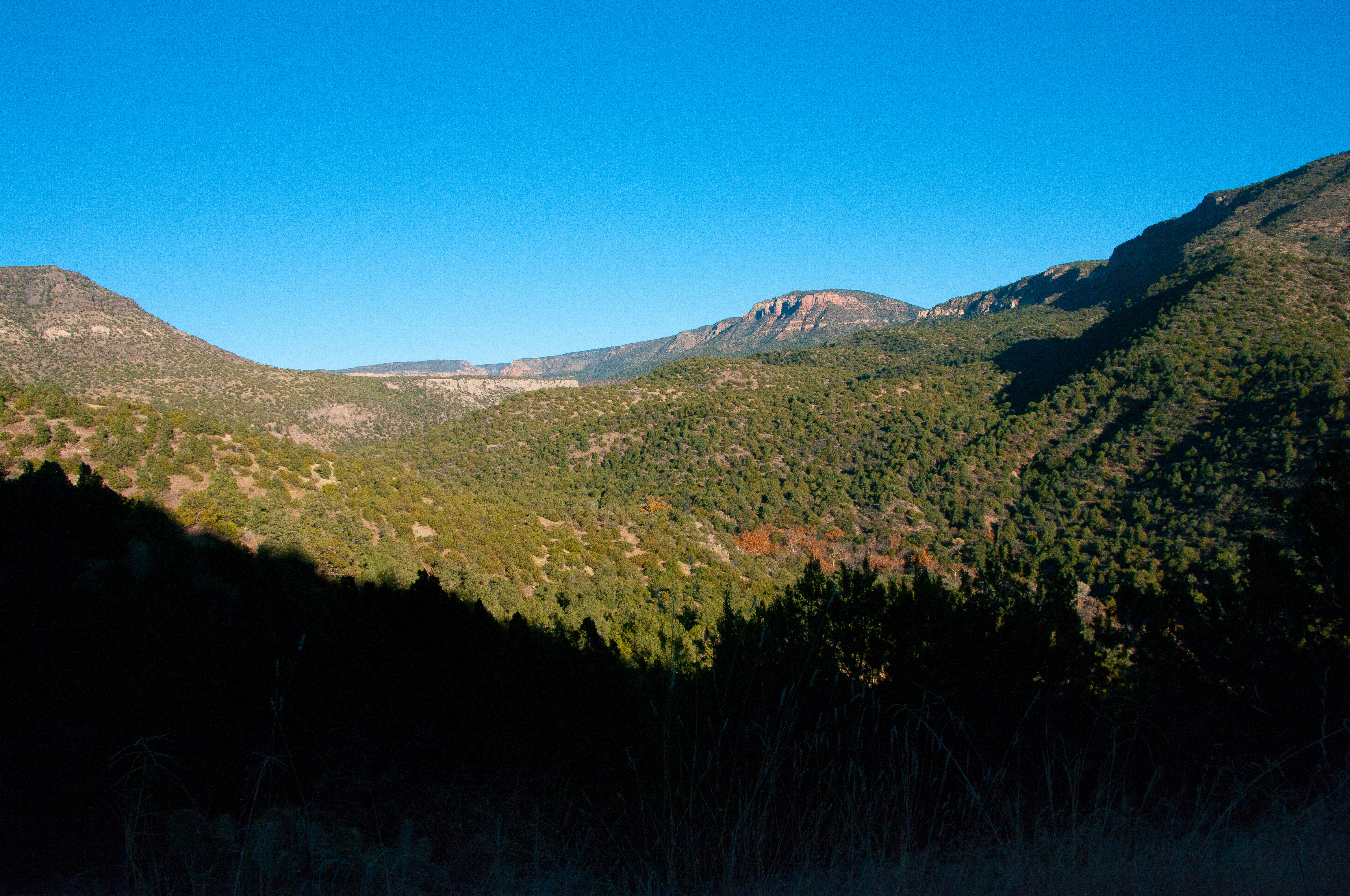
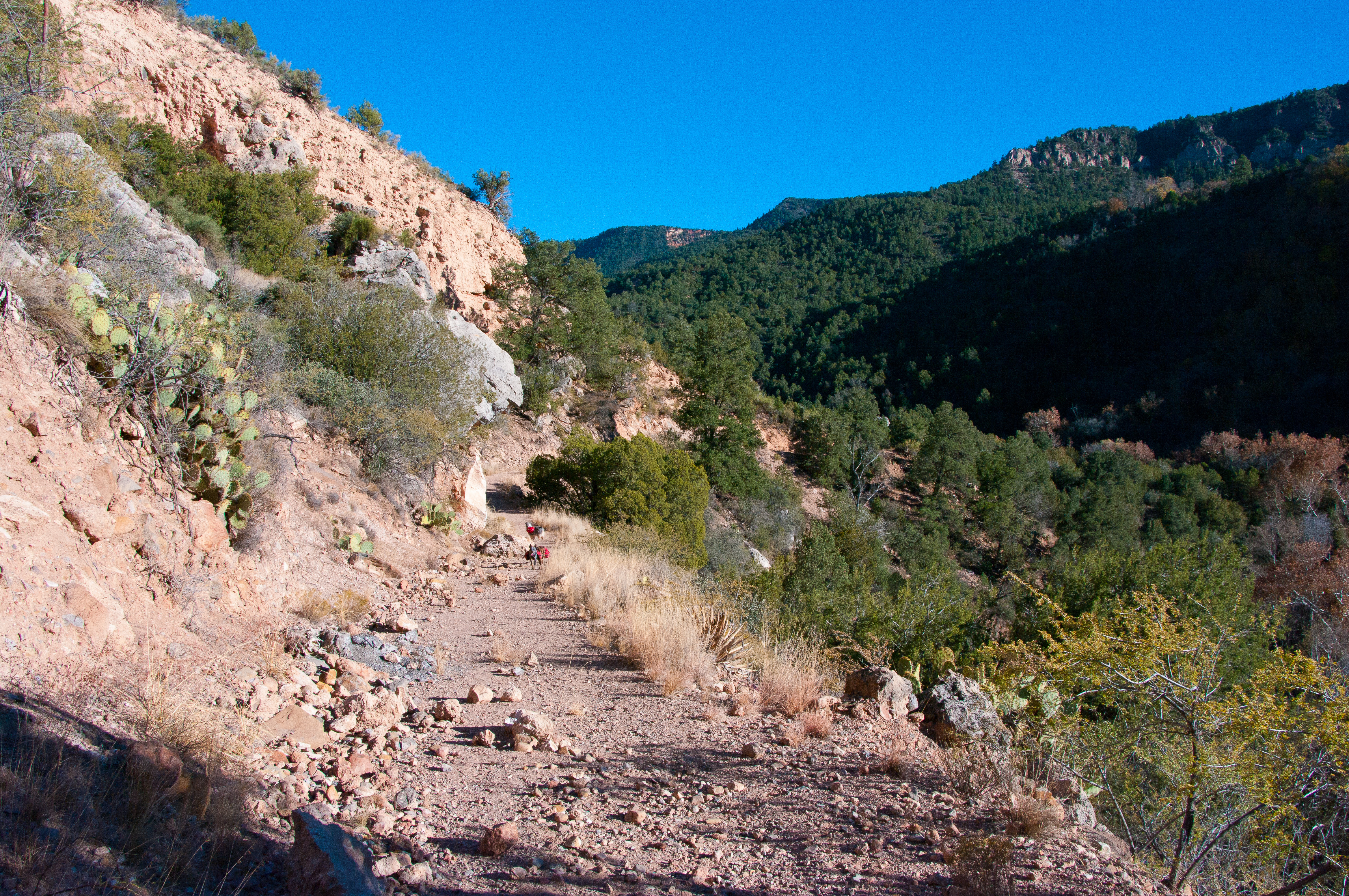
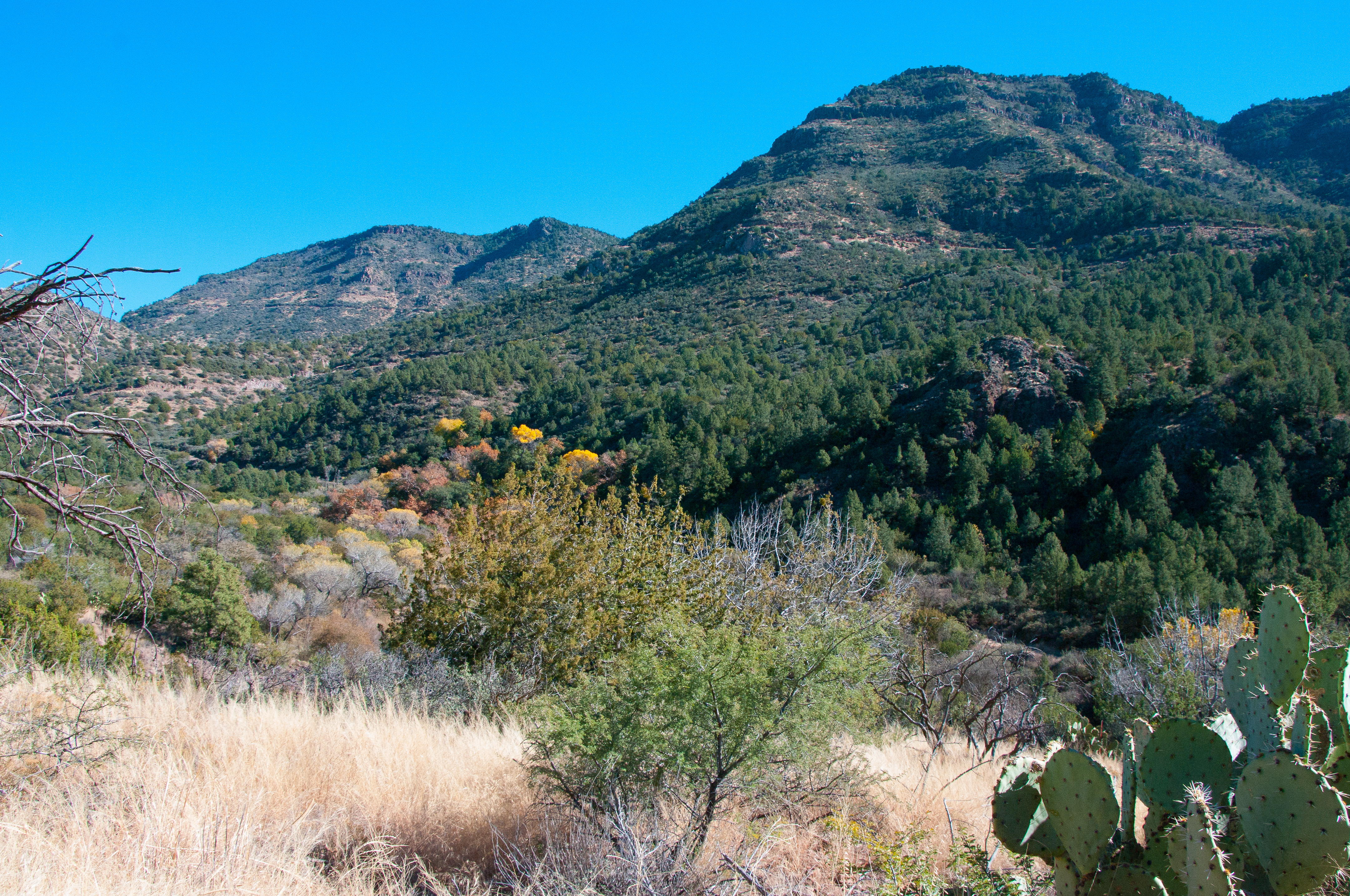
Flume Trail
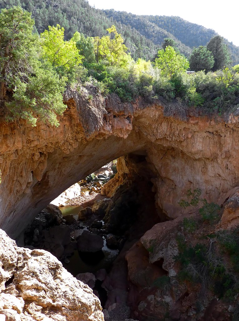
tonto natural bridge (34)
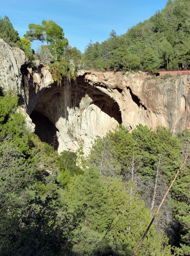
tonto natural bridge (3)
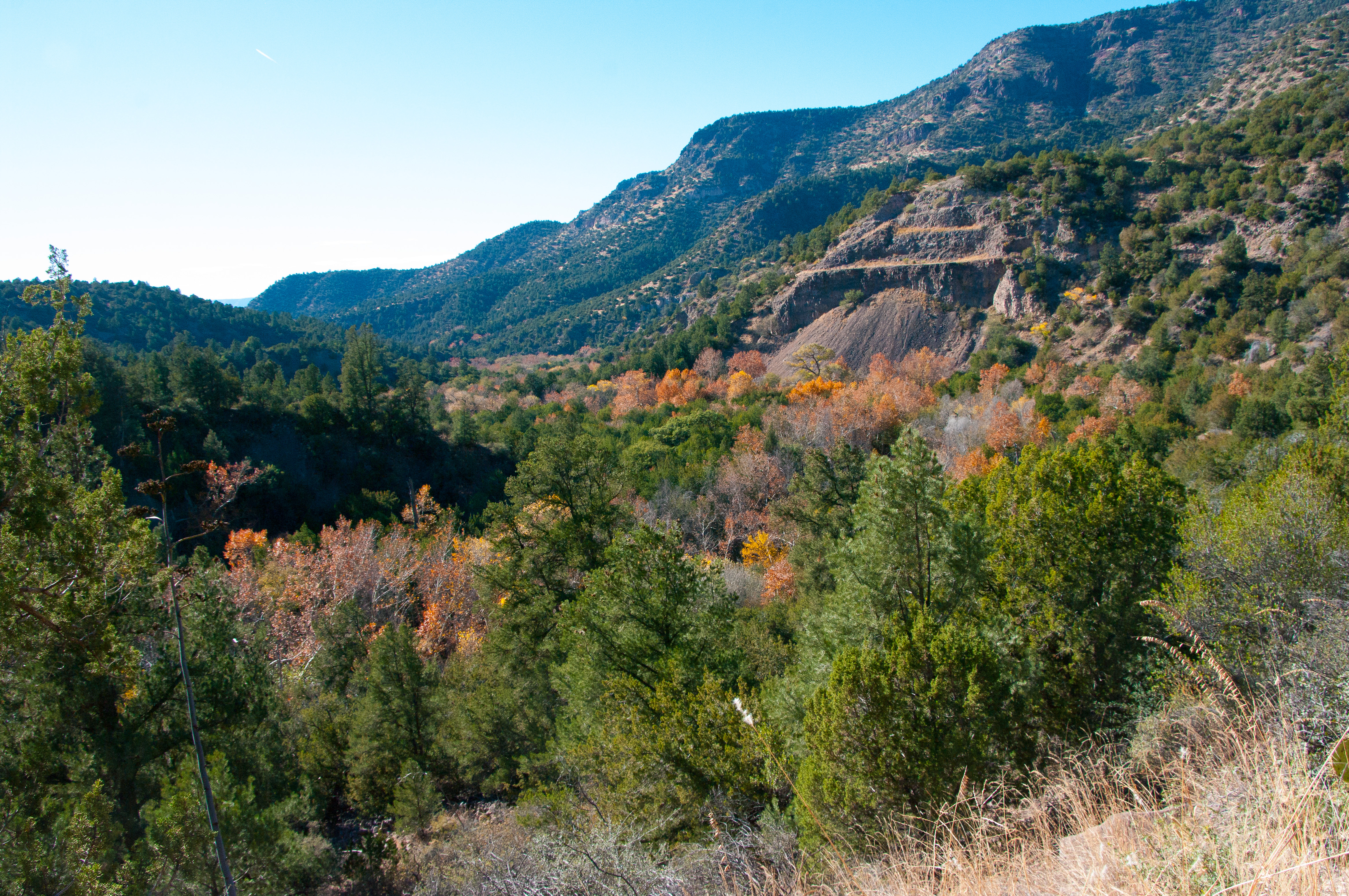
Flume Trail

Flume Trail
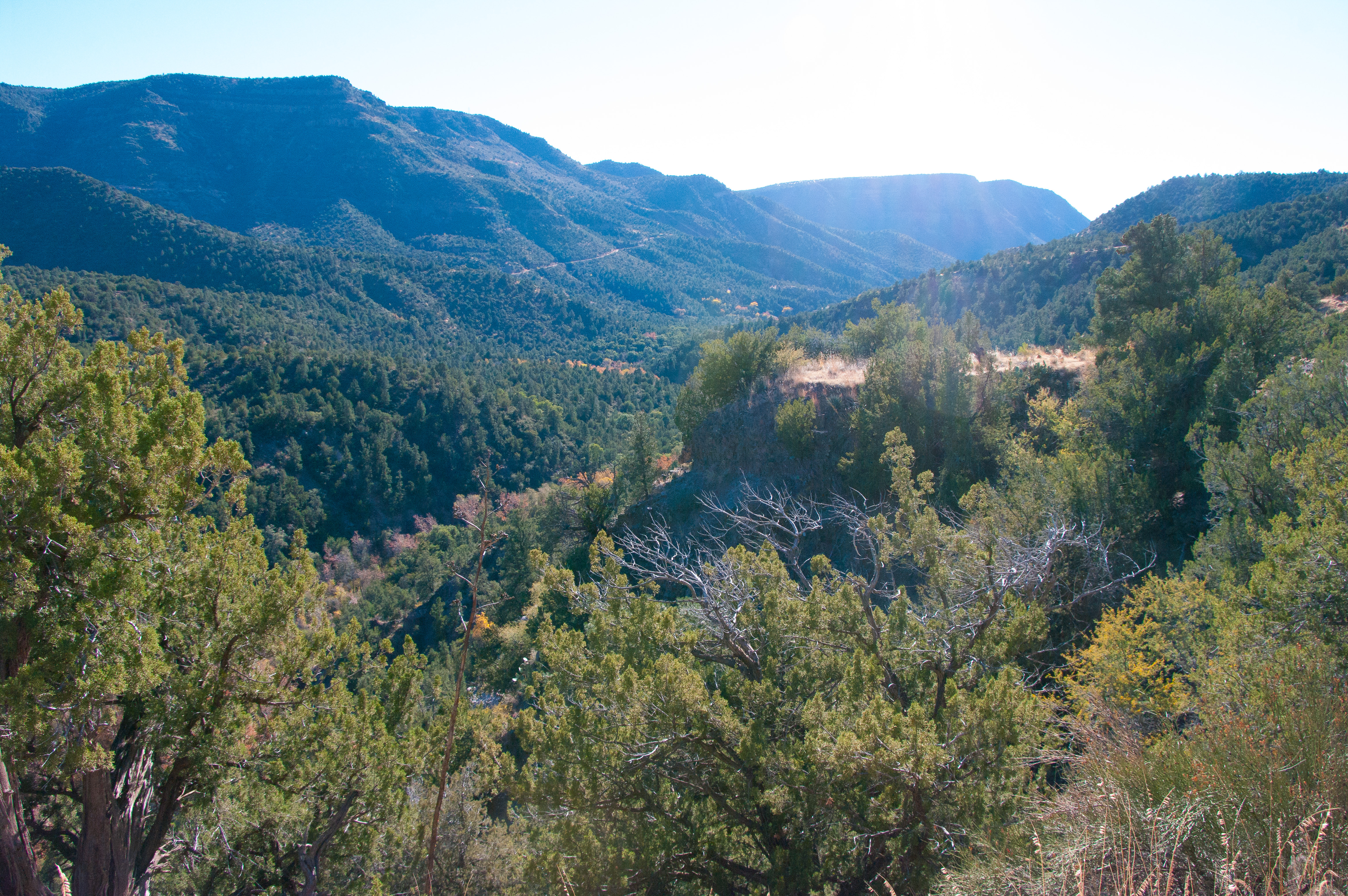
Flume Trail

Flume Trail
Flume Trail

Flume Trail
Flume Trail
Flume Trail
Flume Trail
Flume Trail
Flume Trail
Flume Trail

Flume Trail
Topographic Map of Fossil Creek Road, Fossil Creek Rd, Arizona, USA
Find elevation by address:

Places near Fossil Creek Road, Fossil Creek Rd, Arizona, USA:
5212 Wagon Wheel Way
9120 Tomahawk Trail
9061 Wild Turkey Ln
9019 Pinon Ln
4869 Rim View Loop
8050 Glen Struan Dr
Strawberry
3737 Mohawk St
4099 Strawberry Hollow
6877 Robbin Ln
6872 Fara Dr
Wolfpaw Lane
3794 Apache Trail
3794 Apache Trail
3794 Apache Trail
Starlight Lane
6373 W Ruin Hill Loop
6417 Randall Dr
6368 Barton Dr
6264 Hardscrabble Mesa Rd
Recent Searches:
- Elevation of Corso Fratelli Cairoli, 35, Macerata MC, Italy
- Elevation of Tallevast Rd, Sarasota, FL, USA
- Elevation of 4th St E, Sonoma, CA, USA
- Elevation of Black Hollow Rd, Pennsdale, PA, USA
- Elevation of Oakland Ave, Williamsport, PA, USA
- Elevation of Pedrógão Grande, Portugal
- Elevation of Klee Dr, Martinsburg, WV, USA
- Elevation of Via Roma, Pieranica CR, Italy
- Elevation of Tavkvetili Mountain, Georgia
- Elevation of Hartfords Bluff Cir, Mt Pleasant, SC, USA