Elevation of Wolfpaw Lane, Wolfpaw Ln, Pine, AZ, USA
Location: United States > Arizona > Pine >
Longitude: -111.46521
Latitude: 34.3970132
Elevation: 1752m / 5748feet
Barometric Pressure: 82KPa
Elevation Map:
Satellite Map:
Related Photos:

Historic Strawberry Schoolhouse - the approach
View from Mongollon Rim Between Pine and Camp Verde, Arizona
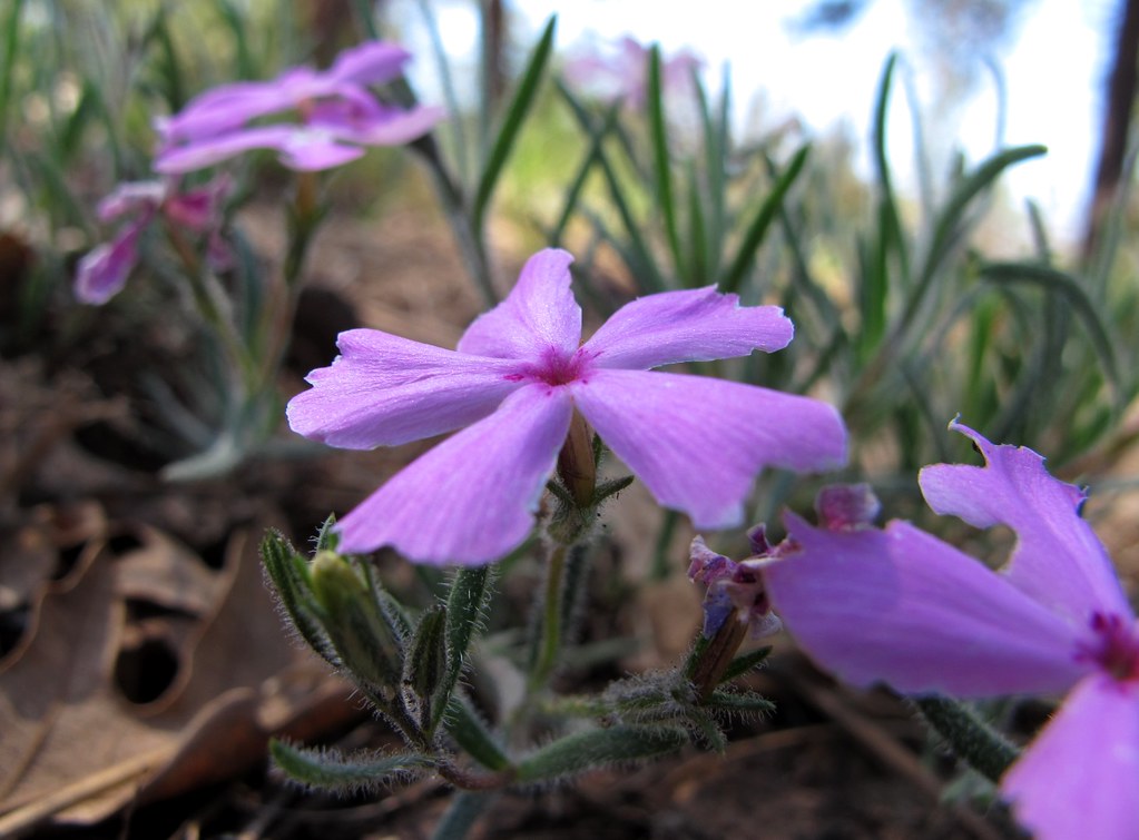
Phine Phlox Phlowers

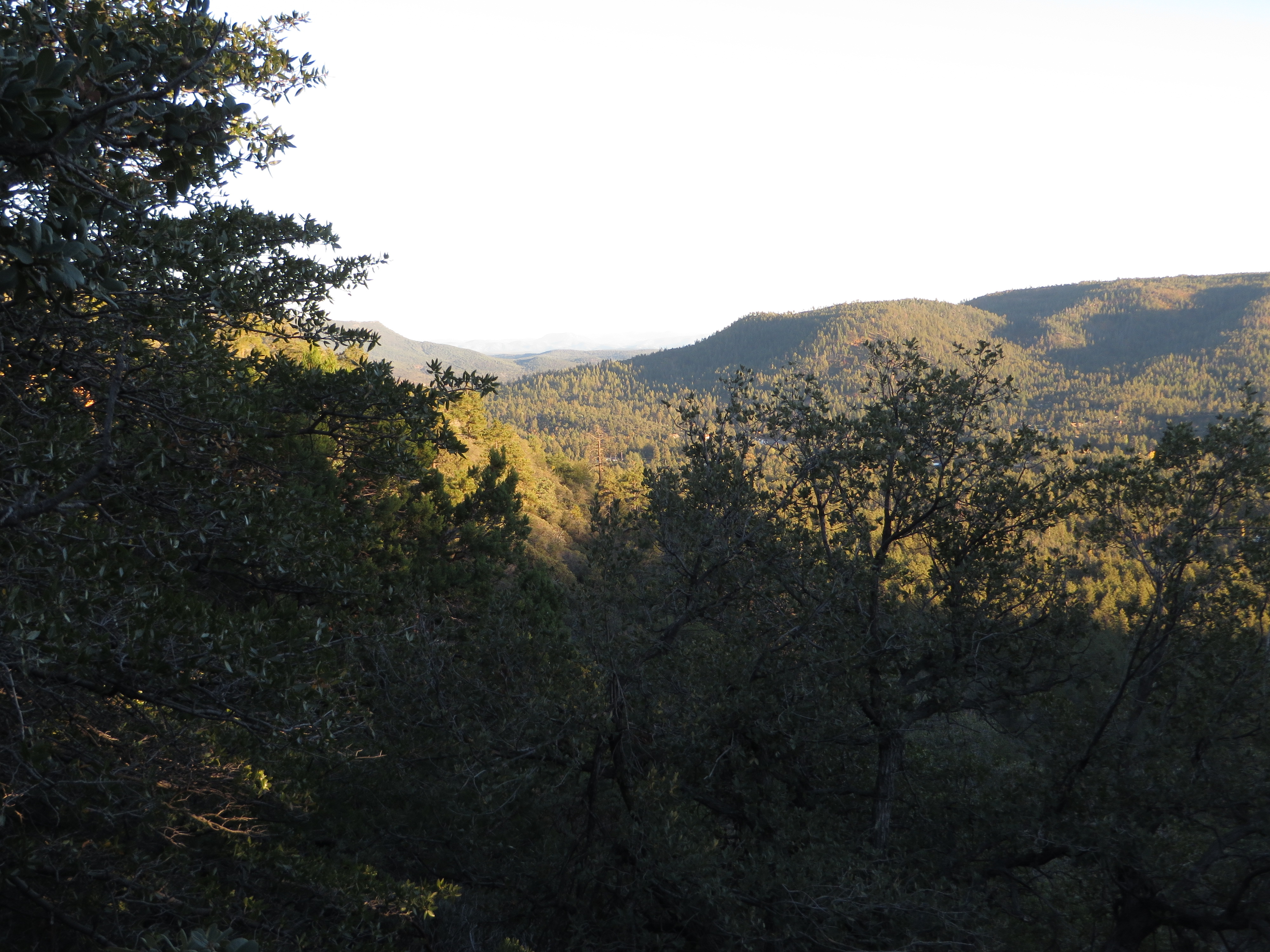
View from Mongollon Rim Between Pine and Camp Verde, Arizona

View from Mongollon Rim Between Pine and Camp Verde, Arizona
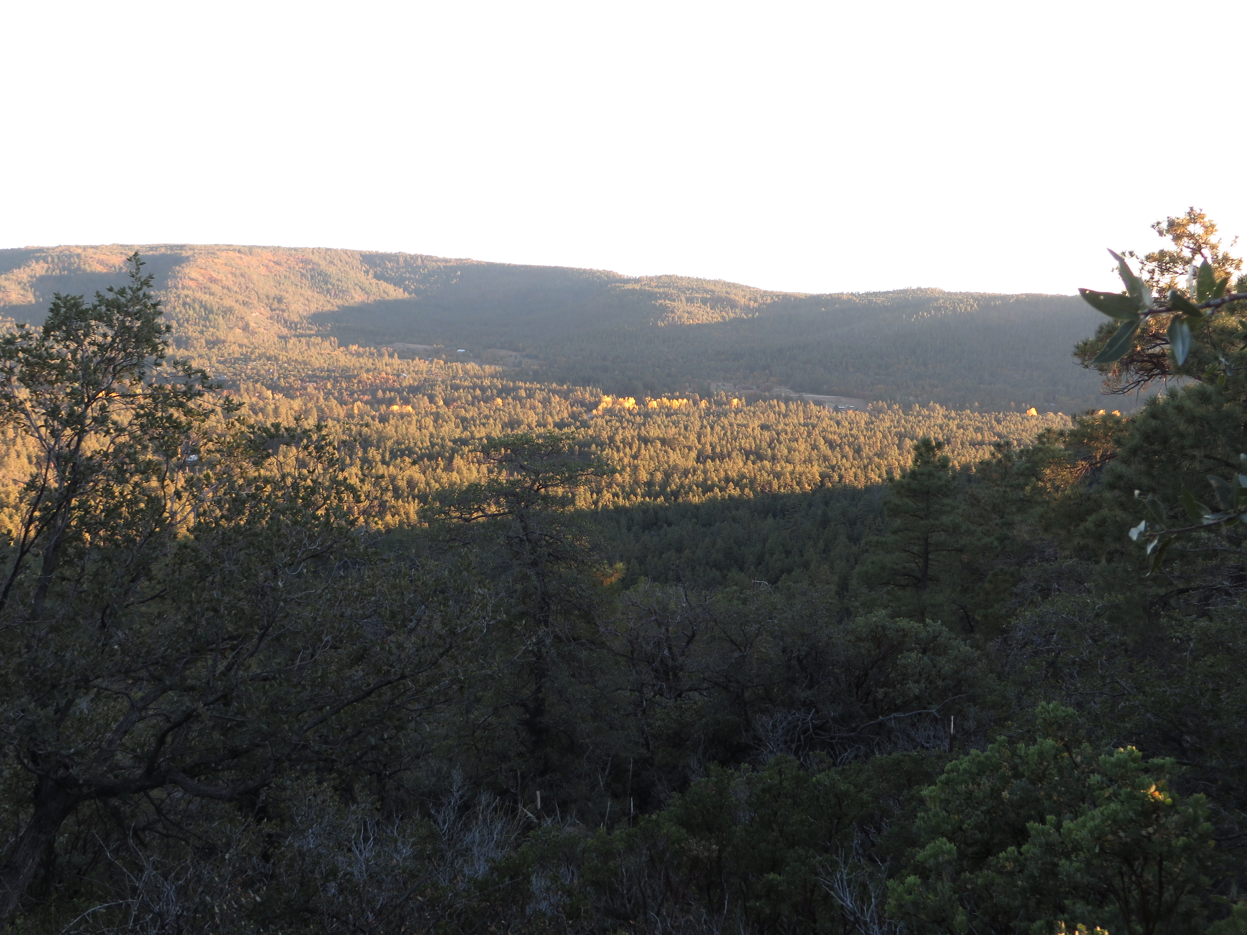
View from Mongollon Rim Between Pine and Camp Verde, Arizona

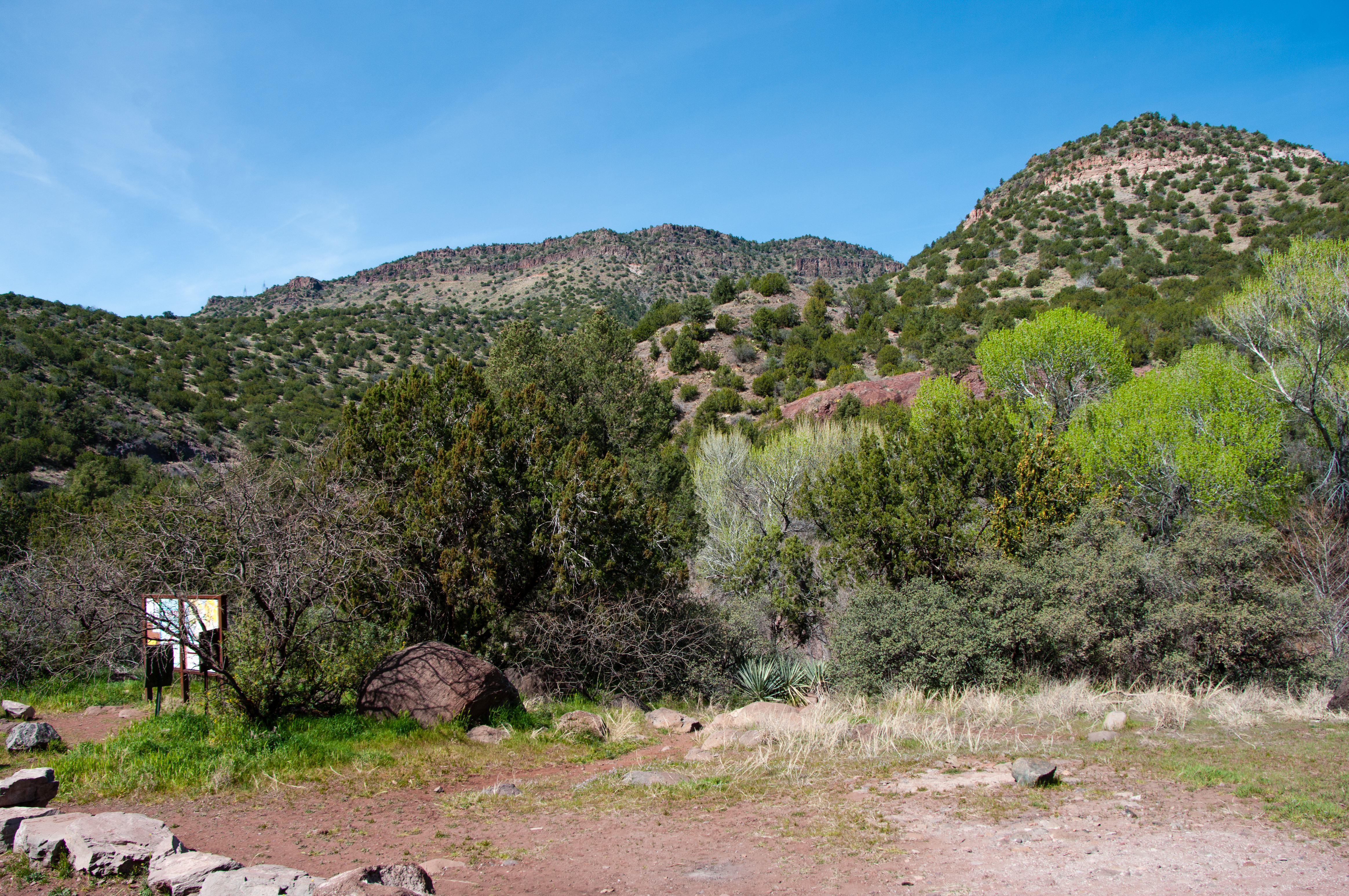
Tonto Natural Bridge State Park
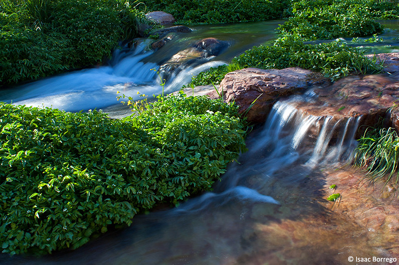
Waterfall Trail at Fossil Creek
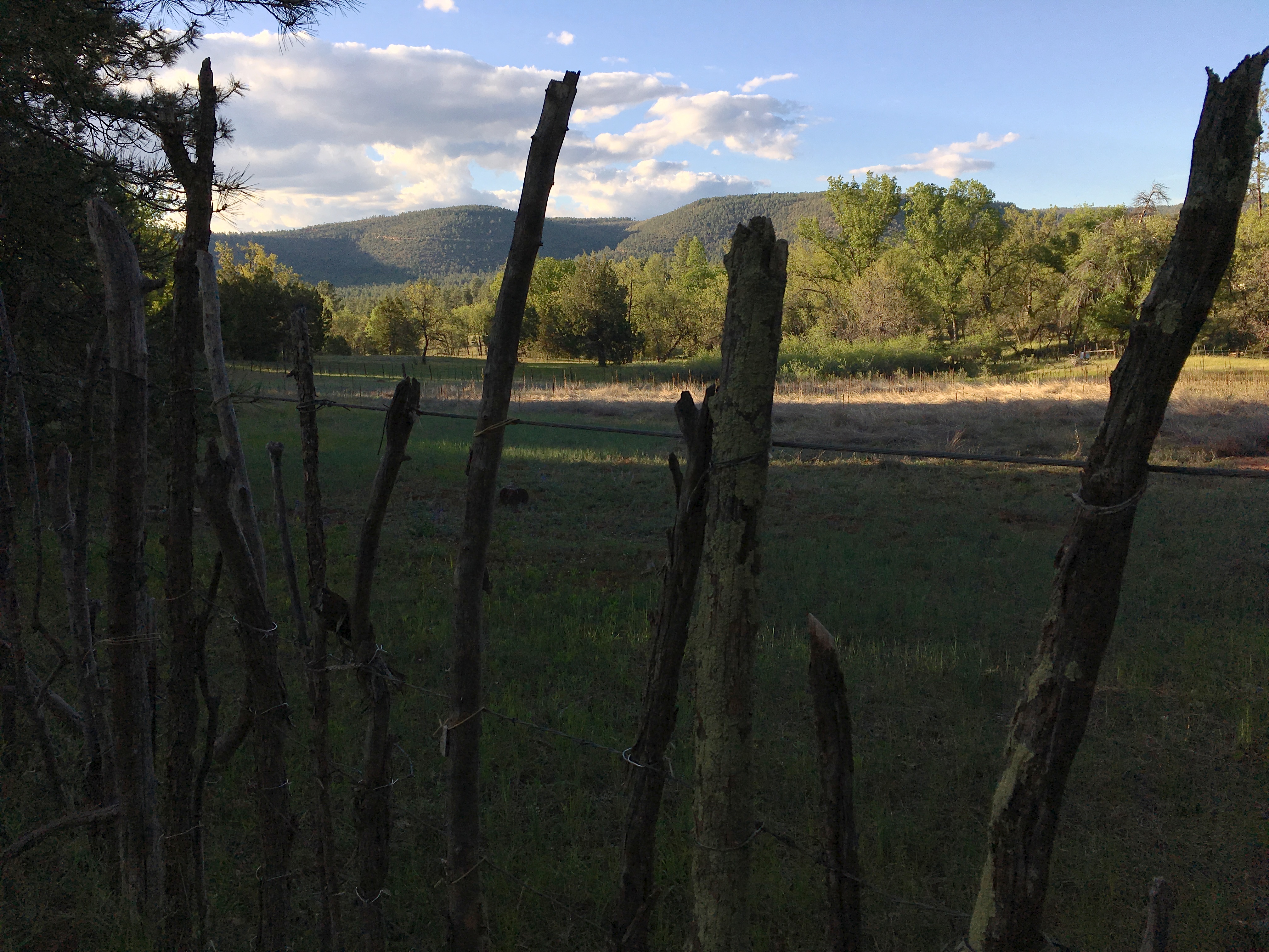
View Across The Cove Ranch

Walk way views
Drinking coffee and loving this view

Playing in Fossil Creek by the decommissioned dam
Plateau View

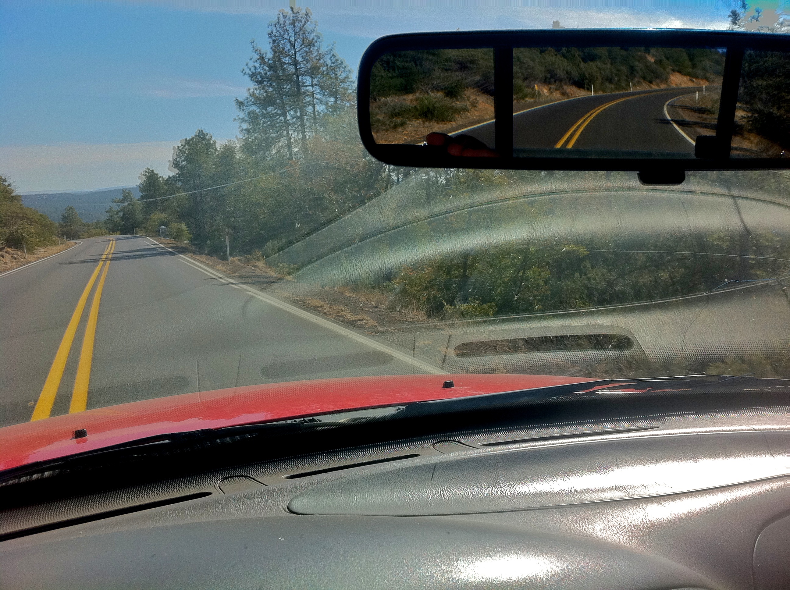
Road to the Horizon
Sunset Over Pine AZ
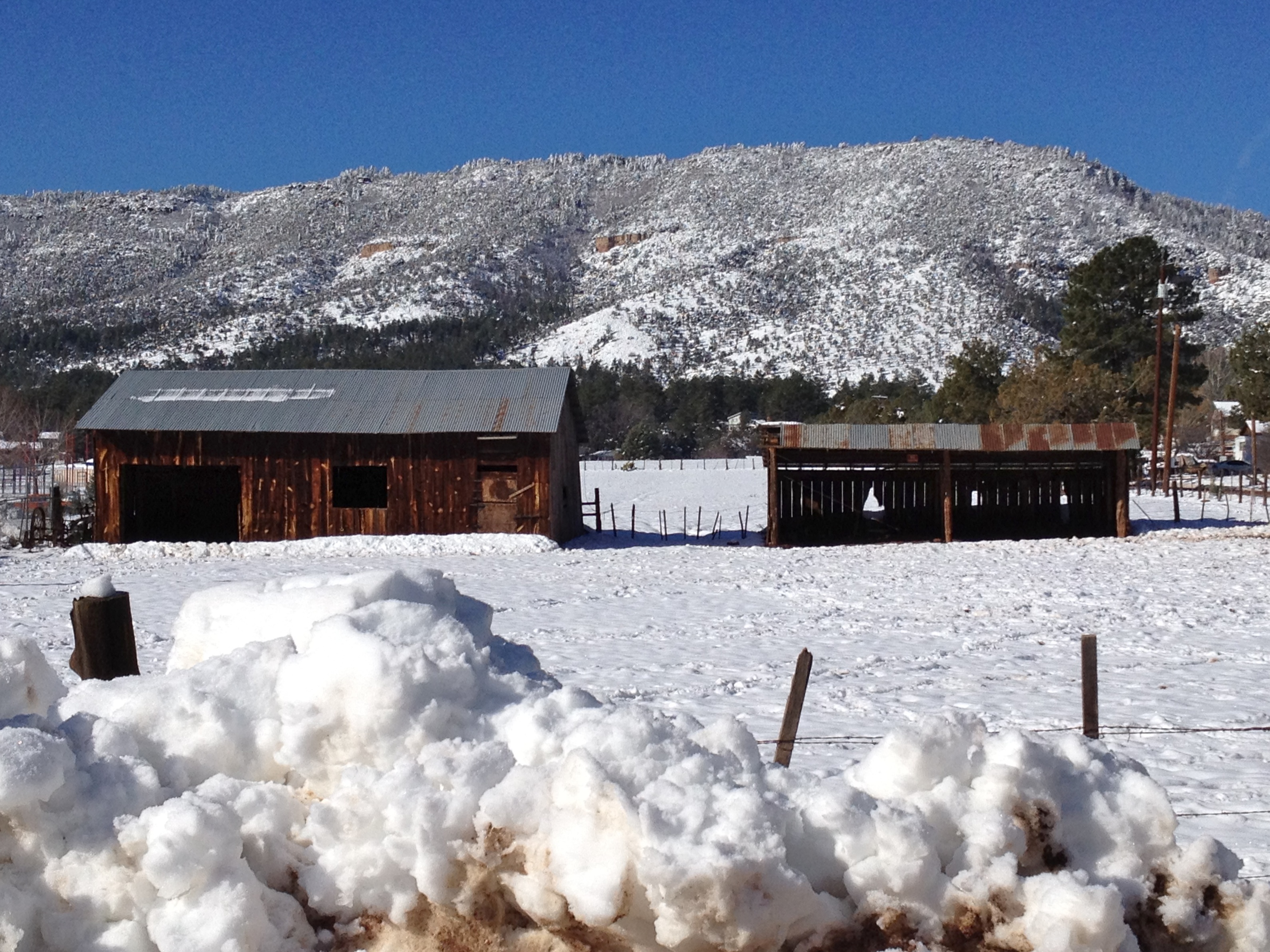
Snowy Pine

Walk way views

32912-24, Trail To The Tonto Natural Bridge
Where I'm Goin' / Where I've Been

How 1980 Viewed the Future

Purpley Posies in the Forest
Tonto Natural Bridge State Park

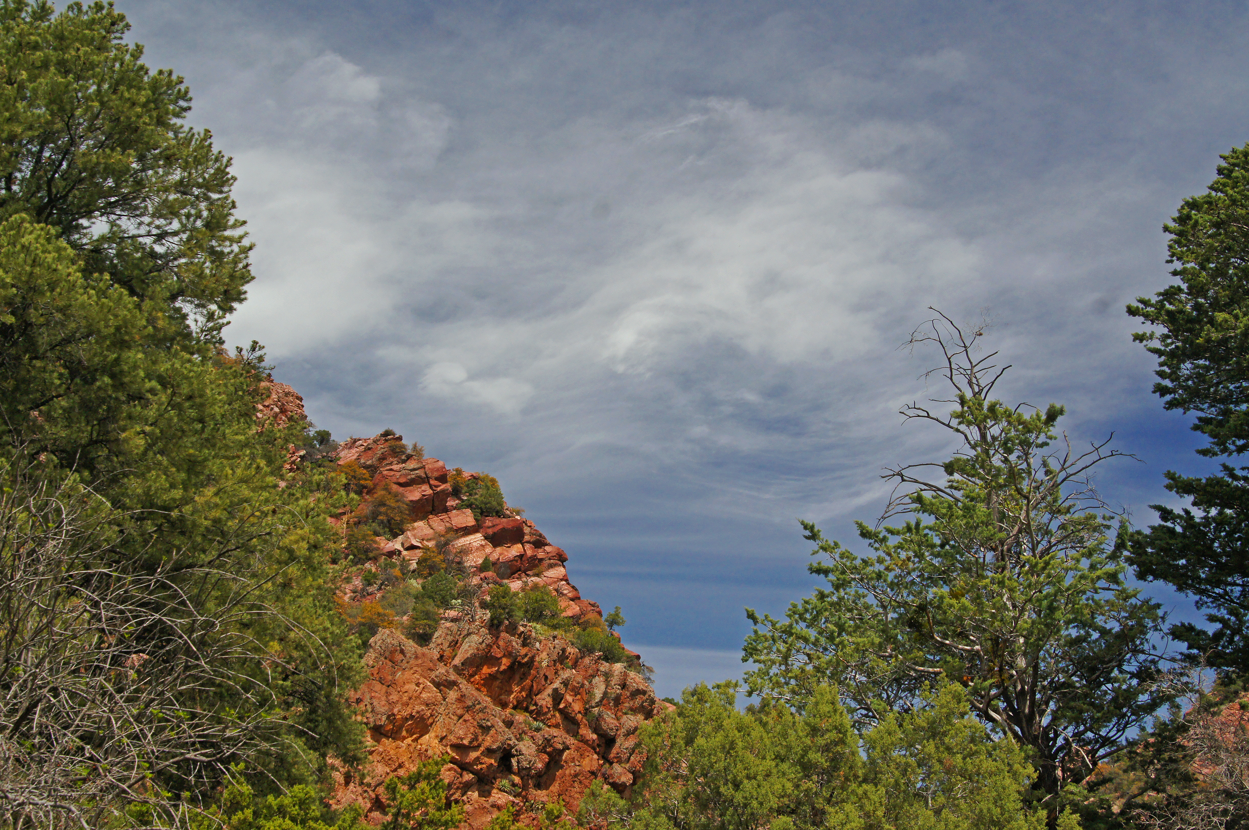
Panorama of Mogollon Rim
Fossil Creek over the decommissioned dam

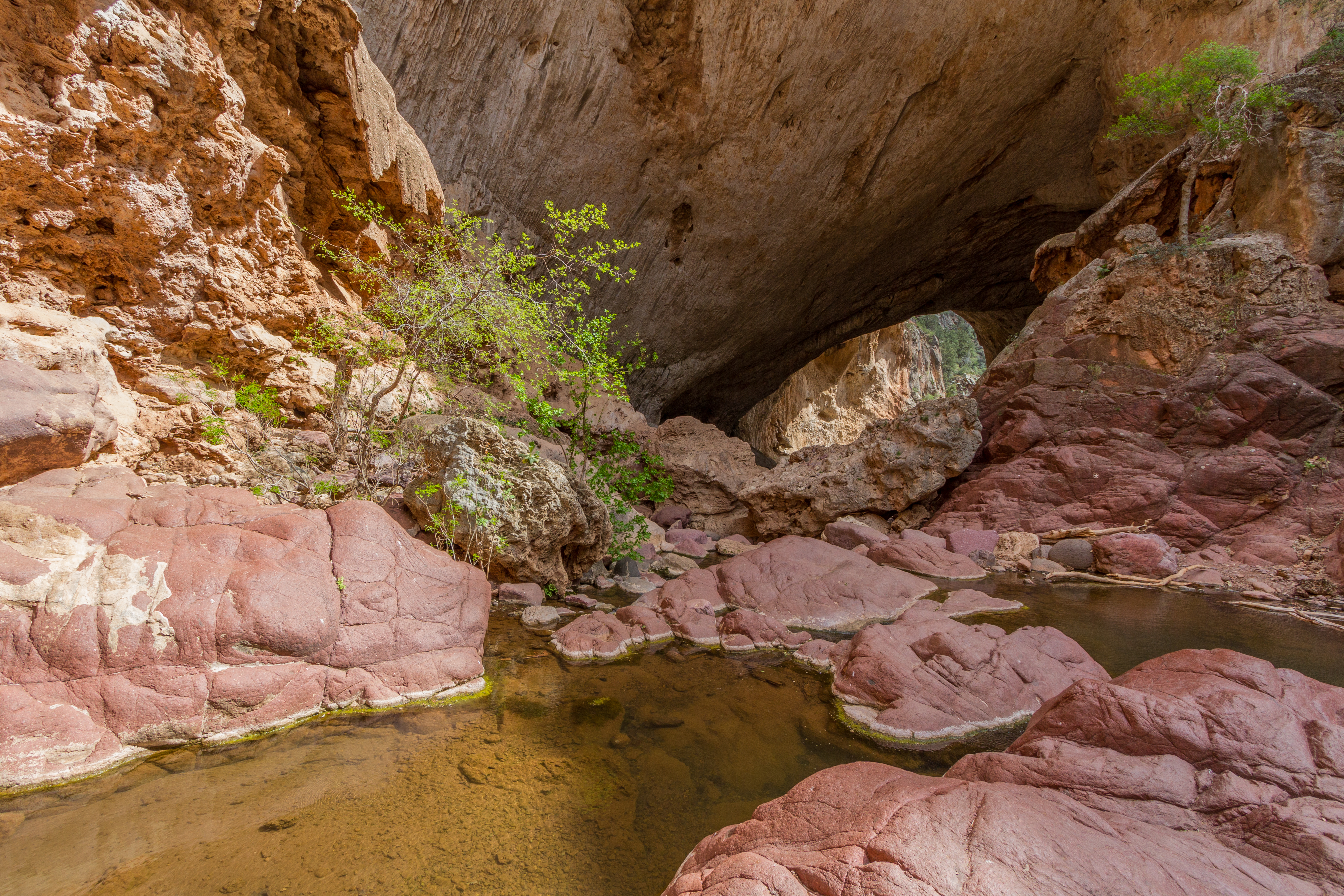
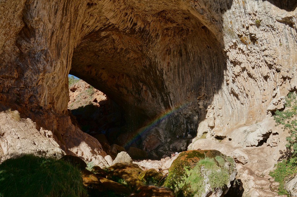
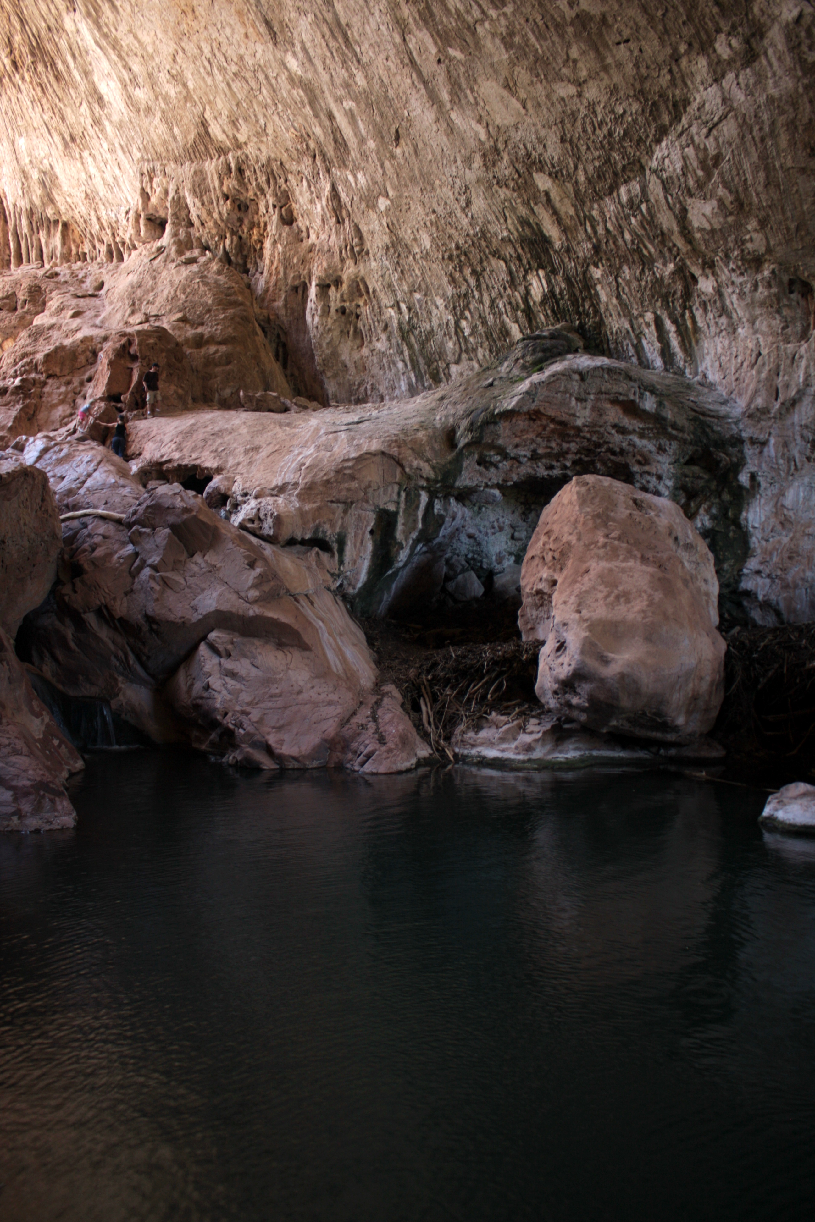
Tonto Natural Bridge
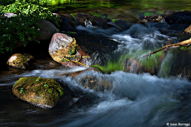
Fossil Creek Close-up
must shoot
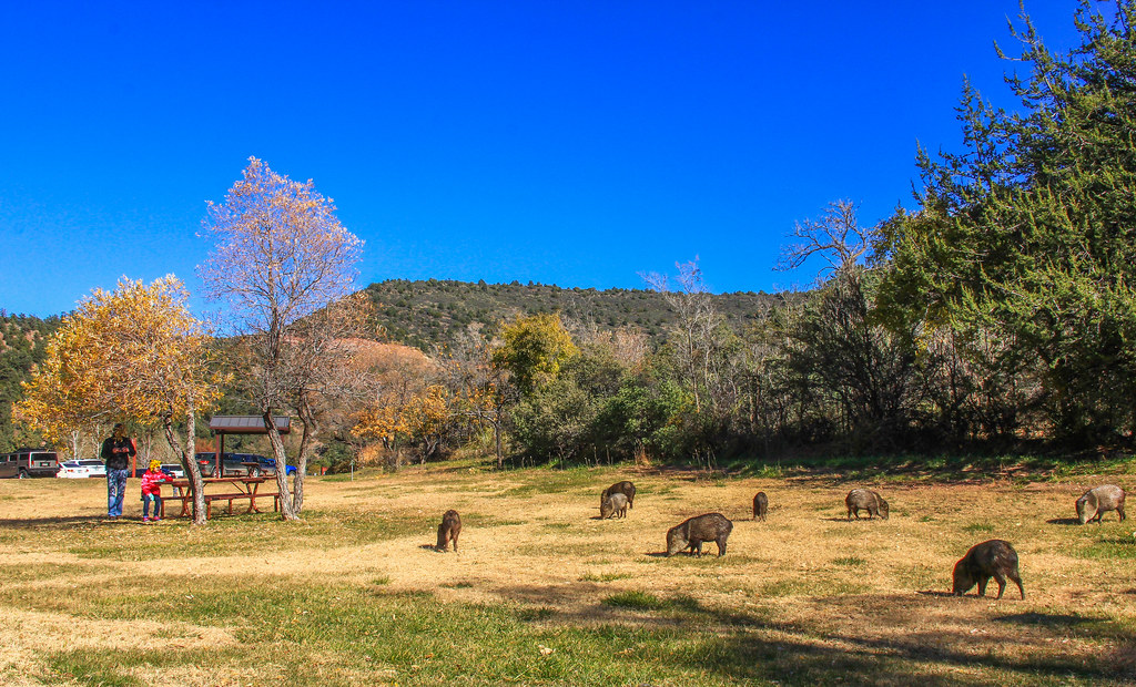
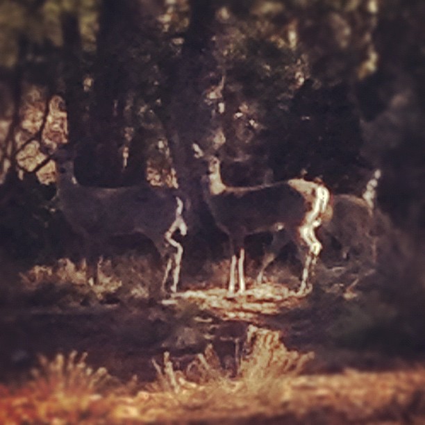
State Park Javelina

Potato Lake in the Fall
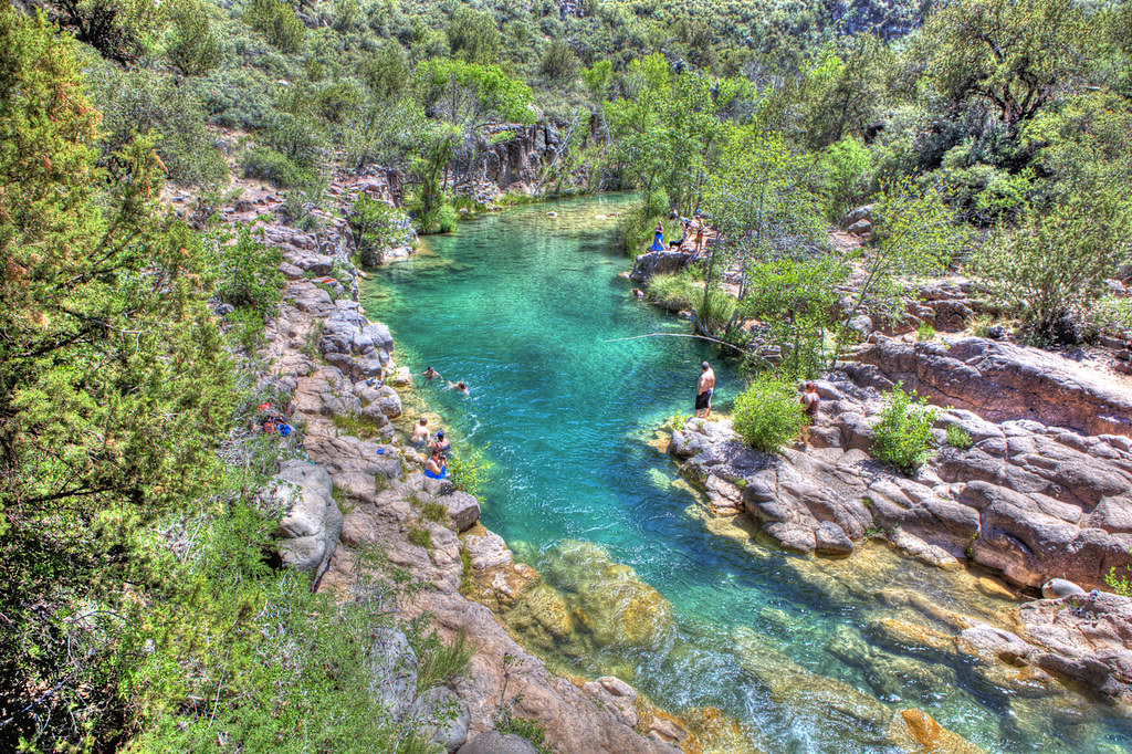
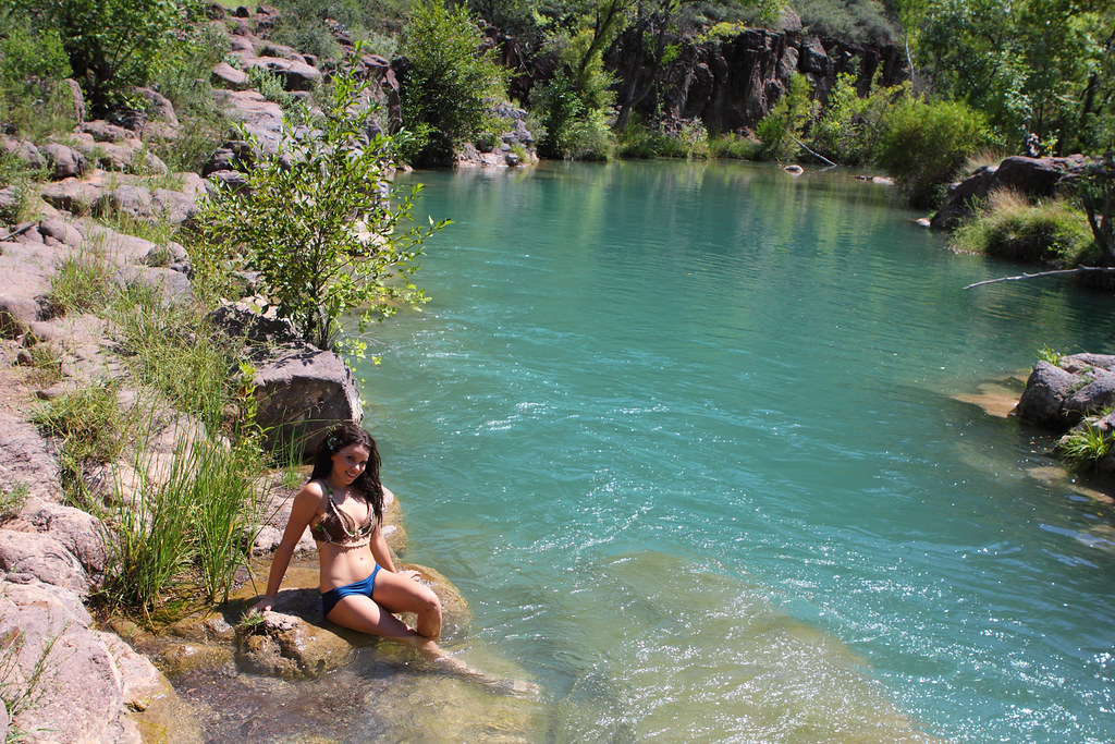
Fossil Creek Swimming Hole

there it is
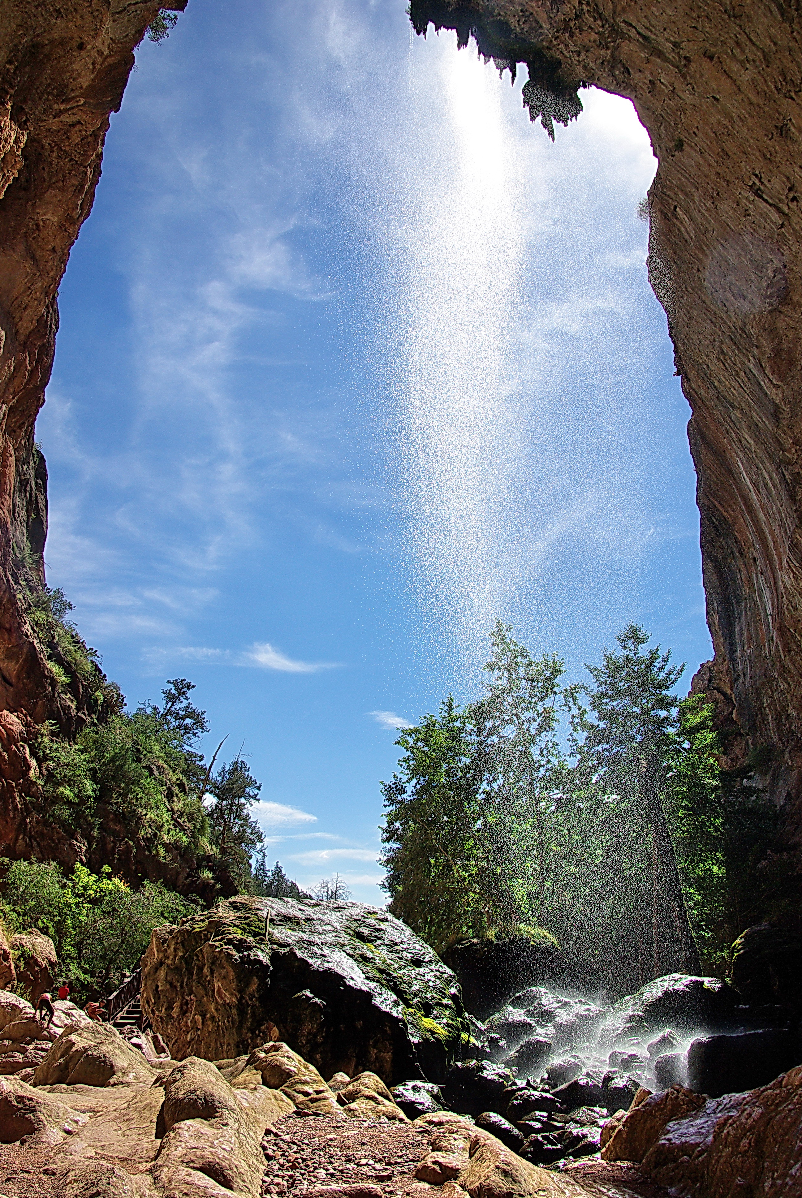
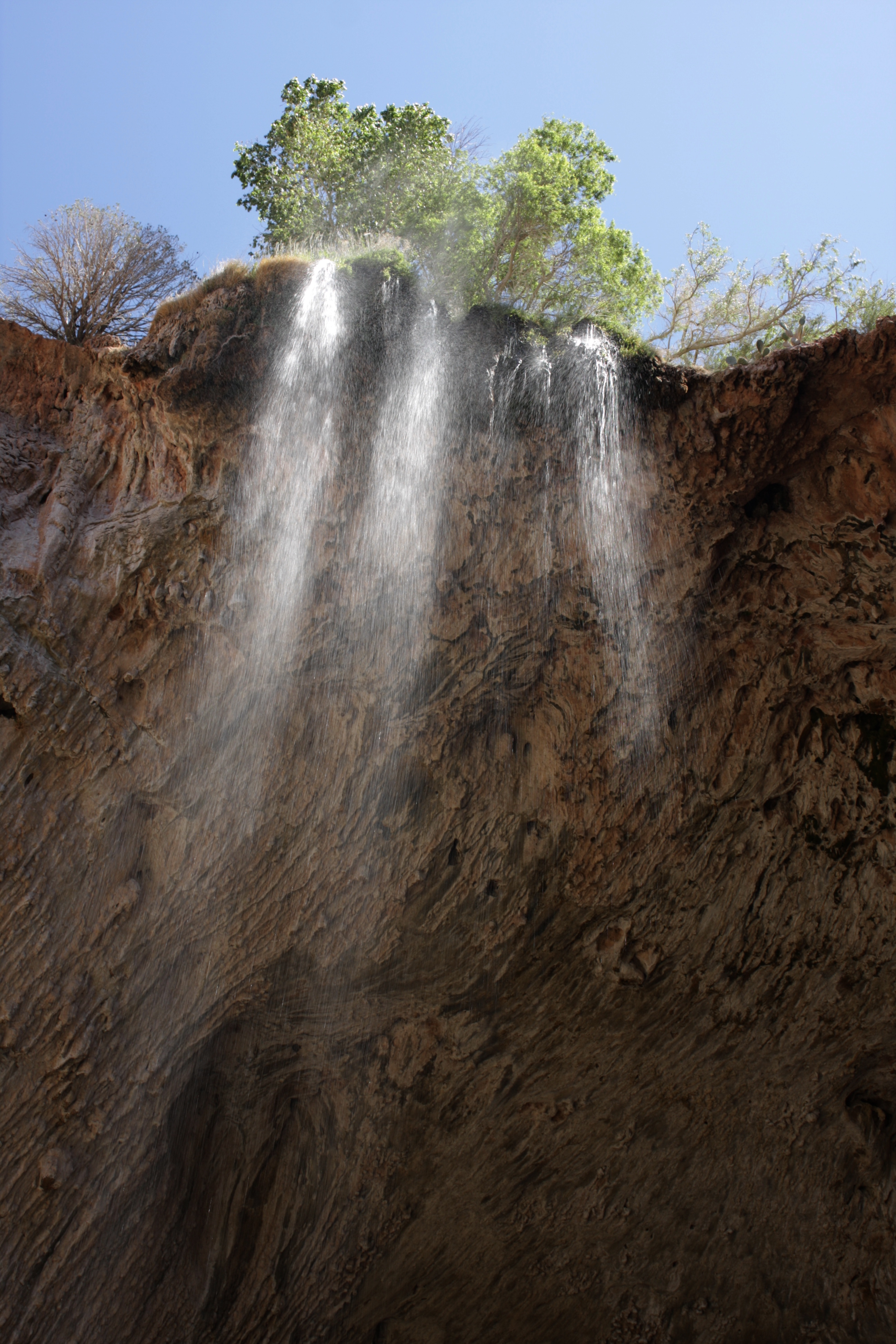
Tonto Natural Bridge Waterfall

that's one thick bridge
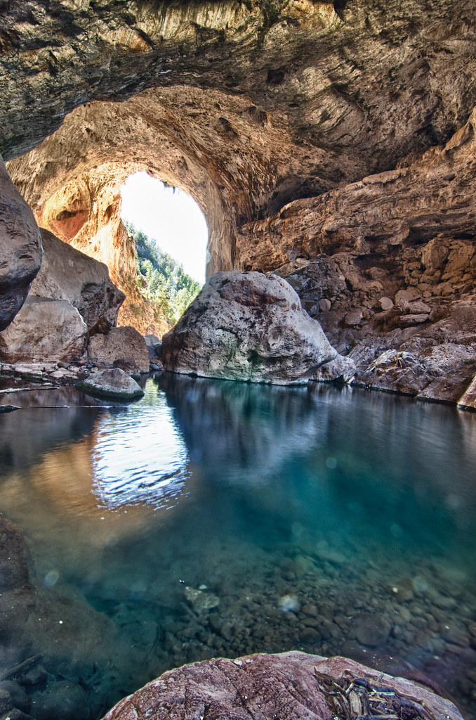
Tonto Natural Bridge
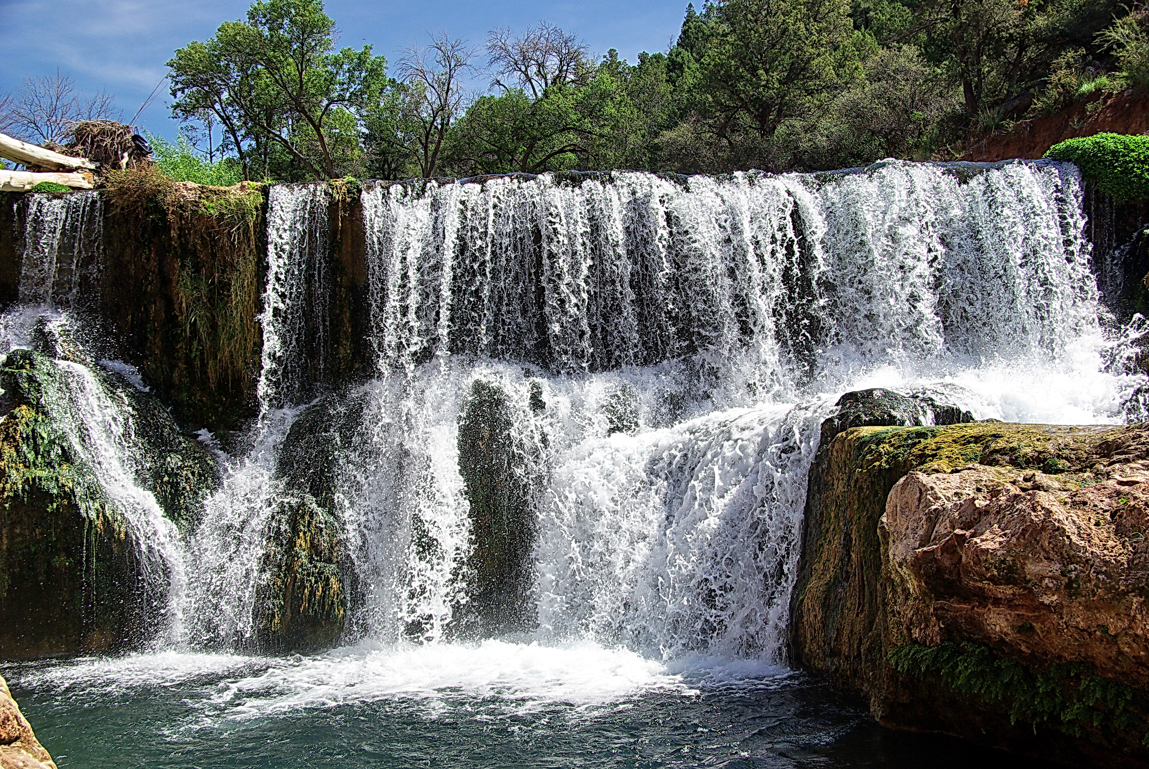
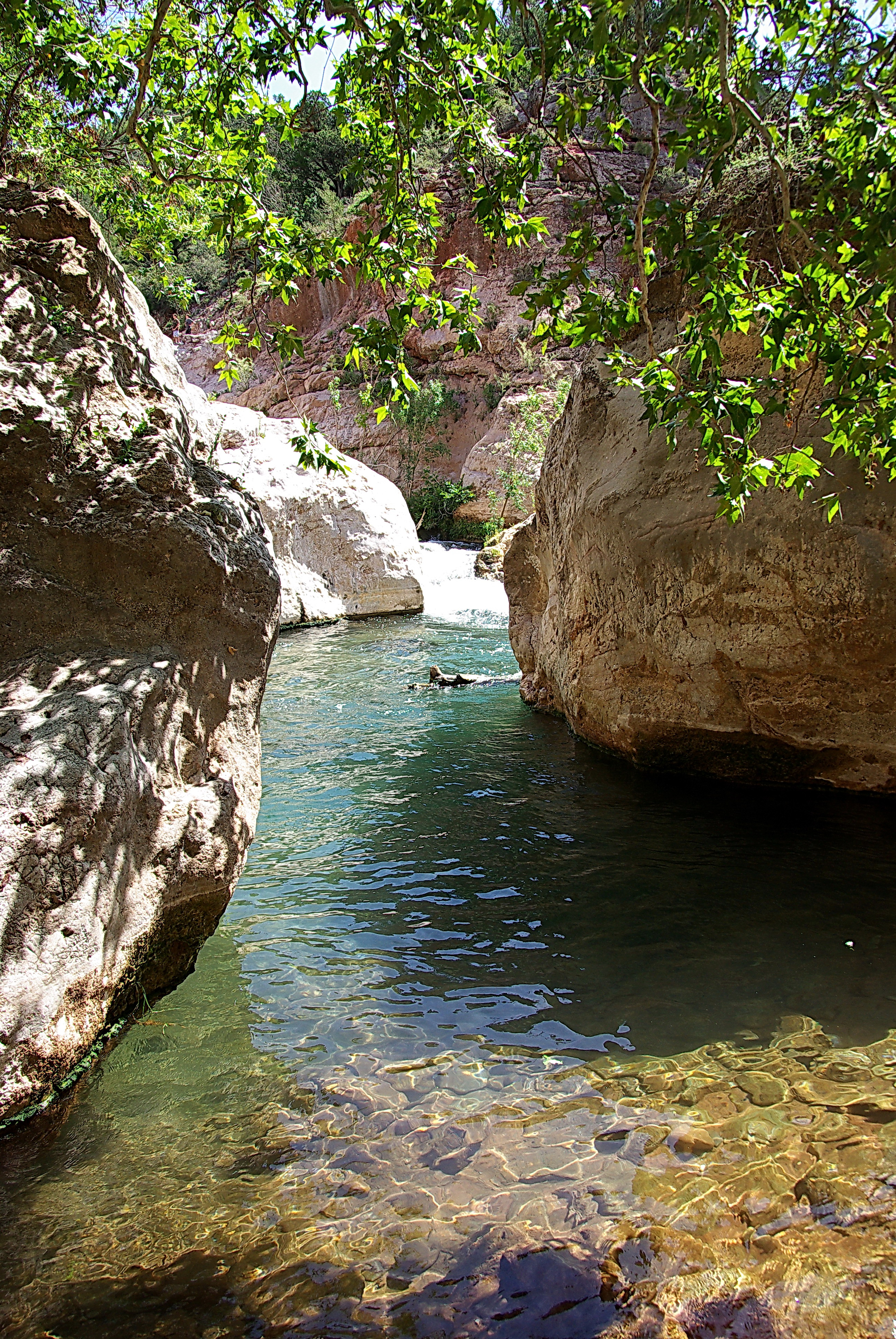
Double Waterfall - Fossil Creek, Arizona

Fossil Creek
1105-TontoNaturalBridge-39

Tonto Natural Bridge - behind the waterfall
Christy at Fossil Creek

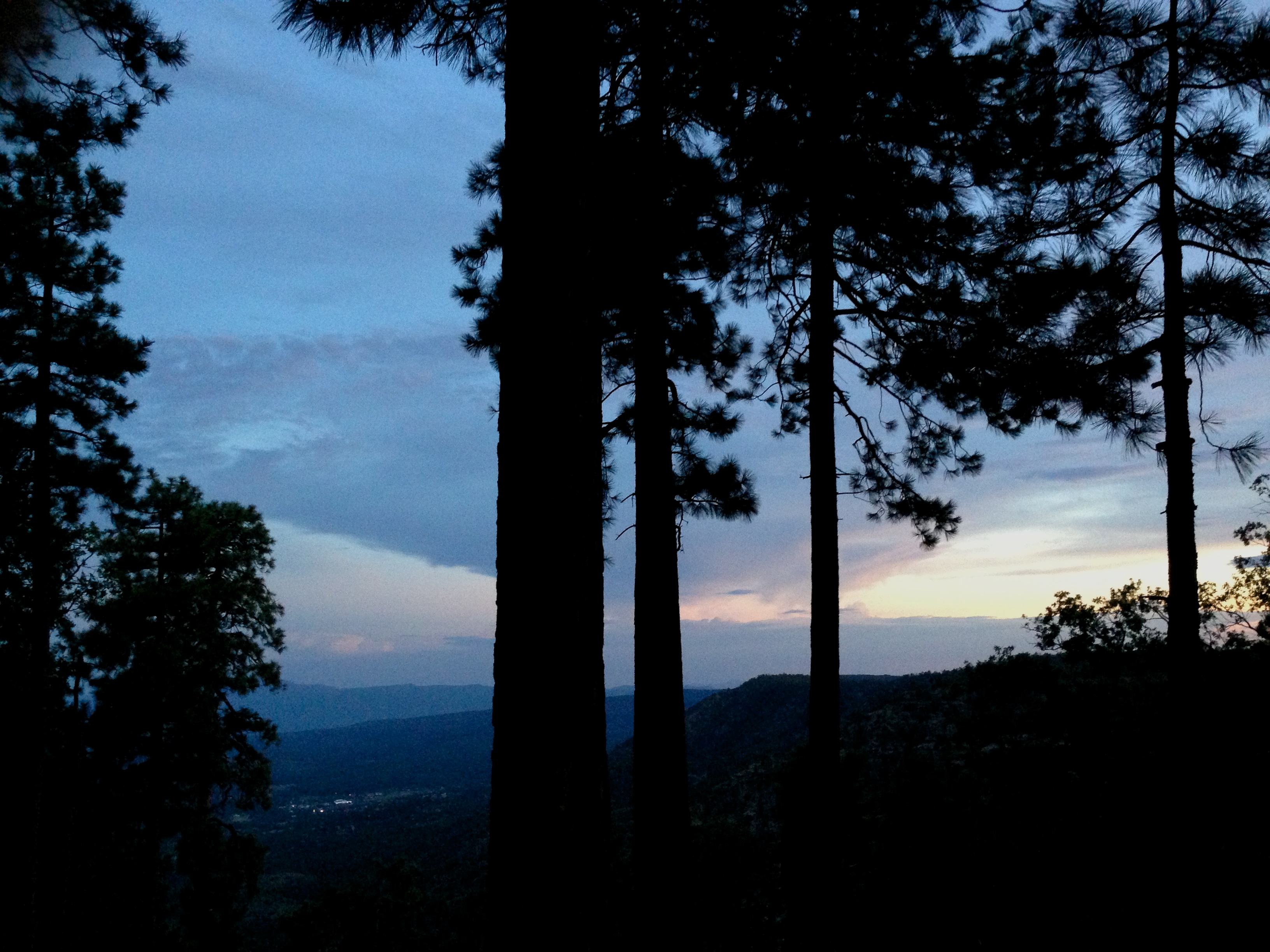
PAX -- Arizona Sunset at the Rim (4)
1105-TontoNaturalBridge-14
Fossil Creek below the decommissioned dam
Topographic Map of Wolfpaw Lane, Wolfpaw Ln, Pine, AZ, USA
Find elevation by address:

Places near Wolfpaw Lane, Wolfpaw Ln, Pine, AZ, USA:
6373 W Ruin Hill Loop
4099 Strawberry Hollow
Starlight Lane
3794 Apache Trail
3794 Apache Trail
3794 Apache Trail
3737 Mohawk St
6264 Hardscrabble Mesa Rd
4904 Canyon Vista
Pine
5095 Spruce Dr
6417 Randall Dr
4797 Walnut Ln
6368 Barton Dr
6877 Robbin Ln
6872 Fara Dr
6303 Bradshaw Dr
Strawberry
8050 Glen Struan Dr
4869 Rim View Loop
Recent Searches:
- Elevation of Pykes Down, Ivybridge PL21 0BY, UK
- Elevation of Jalan Senandin, Lutong, Miri, Sarawak, Malaysia
- Elevation of Bilohirs'k
- Elevation of 30 Oak Lawn Dr, Barkhamsted, CT, USA
- Elevation of Luther Road, Luther Rd, Auburn, CA, USA
- Elevation of Unnamed Road, Respublika Severnaya Osetiya — Alaniya, Russia
- Elevation of Verkhny Fiagdon, North Ossetia–Alania Republic, Russia
- Elevation of F. Viola Hiway, San Rafael, Bulacan, Philippines
- Elevation of Herbage Dr, Gulfport, MS, USA
- Elevation of Lilac Cir, Haldimand, ON N3W 2G9, Canada