Elevation of Ford's Cove Marina Ltd., Central Rd, Hornby Island, BC V0R 1Z0, Canada
Location: Canada > British Columbia > Comox Valley > Comox-strathcona K > Hornby Island >
Longitude: -124.67503
Latitude: 49.4960393
Elevation: 8m / 26feet
Barometric Pressure: 101KPa
Elevation Map:
Satellite Map:
Related Photos:

View from our Campsite

View from Denman Island

View of major snowfall from Cabin Deck in 2006

waiting at Denman . . .

Burn Pile (version 1)

Wonky View from Boyle Point

Mid Island views of Denman Island

Great fishing. wildlife viewing. a soda shop, and a saloon

Gravelly Bay . . .

Helliwell Shore

Treetop on Hornby Island

A Breeding Pair of Trumpeter Swans

A Murder of Crows Trying to Become a Murmuration.

View from beach across road from cabin

Deer on lawn at Denman Island cabin

View of driveway from cabin

Cabin photo from the beach

Backwards sunset

Nile Creek Bridge

Sea Breeze View

Sea Breeze View

Fanny Bay, Vancouver Island

Basking in the Sunshine

Buckley Bay, Vancouver Island

Chrome Island Light House

Hornby from Denman

Helliwell Provincial Park
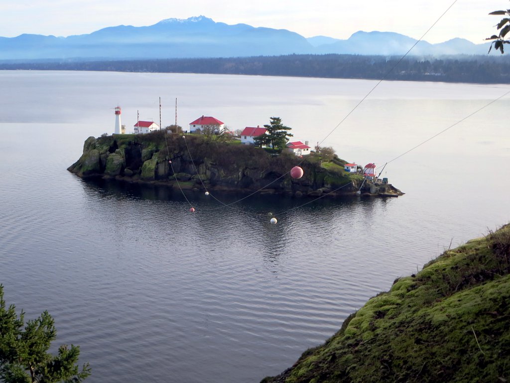
Chrome Island Lighthouse

BC Ferries - Quinitsa in Lambert Channel en route to Gravelly Bay.

BC Ferries - Quinitsa in Lambert Channel en route to Shingle Spit.

Nile Creek Falls

Union Bay

Oyster hill

Hornby Island

The salmon run is on, the Big Qualicum River

The Bluffs

B.C Ferries Denman Island

Three Falls and a Maple Leaf

Through the trees into the sunlight
Topographic Map of Ford's Cove Marina Ltd., Central Rd, Hornby Island, BC V0R 1Z0, Canada
Find elevation by address:

Places near Ford's Cove Marina Ltd., Central Rd, Hornby Island, BC V0R 1Z0, Canada:
5000 Central Rd
Hornby Island
Comox-strathcona K
5560 East Rd
5590 East Rd
Tribune Bay Campsite
Tribune Bay Provincial Park
Bradsdadsland Campsite
3390 Brigantine Crescent
175 Sunshine Pl
Bowser
1650 Baikie Rd
Fillongley Provincial Park
7131 Denman Rd
8573 Wavell Rd
Qualicum Bay Resort
Lighthouse Rv Park
Denman Island
Denman Island
Recent Searches:
- Elevation of Congressional Dr, Stevensville, MD, USA
- Elevation of Bellview Rd, McLean, VA, USA
- Elevation of Stage Island Rd, Chatham, MA, USA
- Elevation of Shibuya Scramble Crossing, 21 Udagawacho, Shibuya City, Tokyo -, Japan
- Elevation of Jadagoniai, Kaunas District Municipality, Lithuania
- Elevation of Pagonija rock, Kranto 7-oji g. 8"N, Kaunas, Lithuania
- Elevation of Co Rd 87, Jamestown, CO, USA
- Elevation of Tenjo, Cundinamarca, Colombia
- Elevation of Côte-des-Neiges, Montreal, QC H4A 3J6, Canada
- Elevation of Bobcat Dr, Helena, MT, USA