Elevation of East Rd, Denman Island, BC V0R 1T0, Canada
Location: Canada > British Columbia > Comox Valley > Comox-strathcona K > Denman Island >
Longitude: -124.71492
Latitude: 49.4957851
Elevation: 6m / 20feet
Barometric Pressure: 101KPa
Elevation Map:
Satellite Map:
Related Photos:
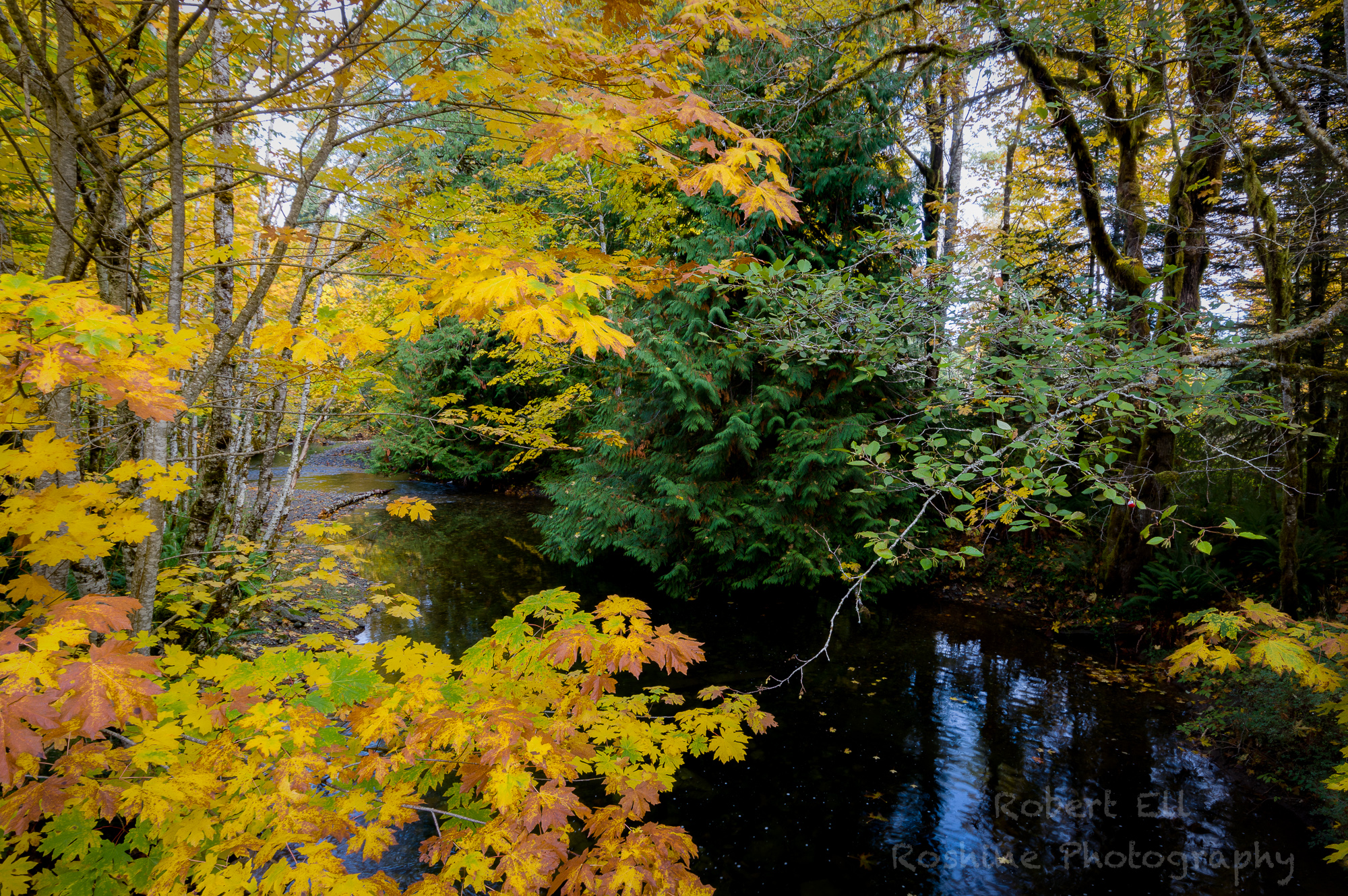
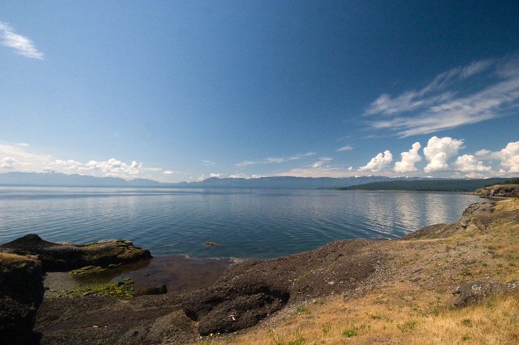
View Downstream from the Trestle
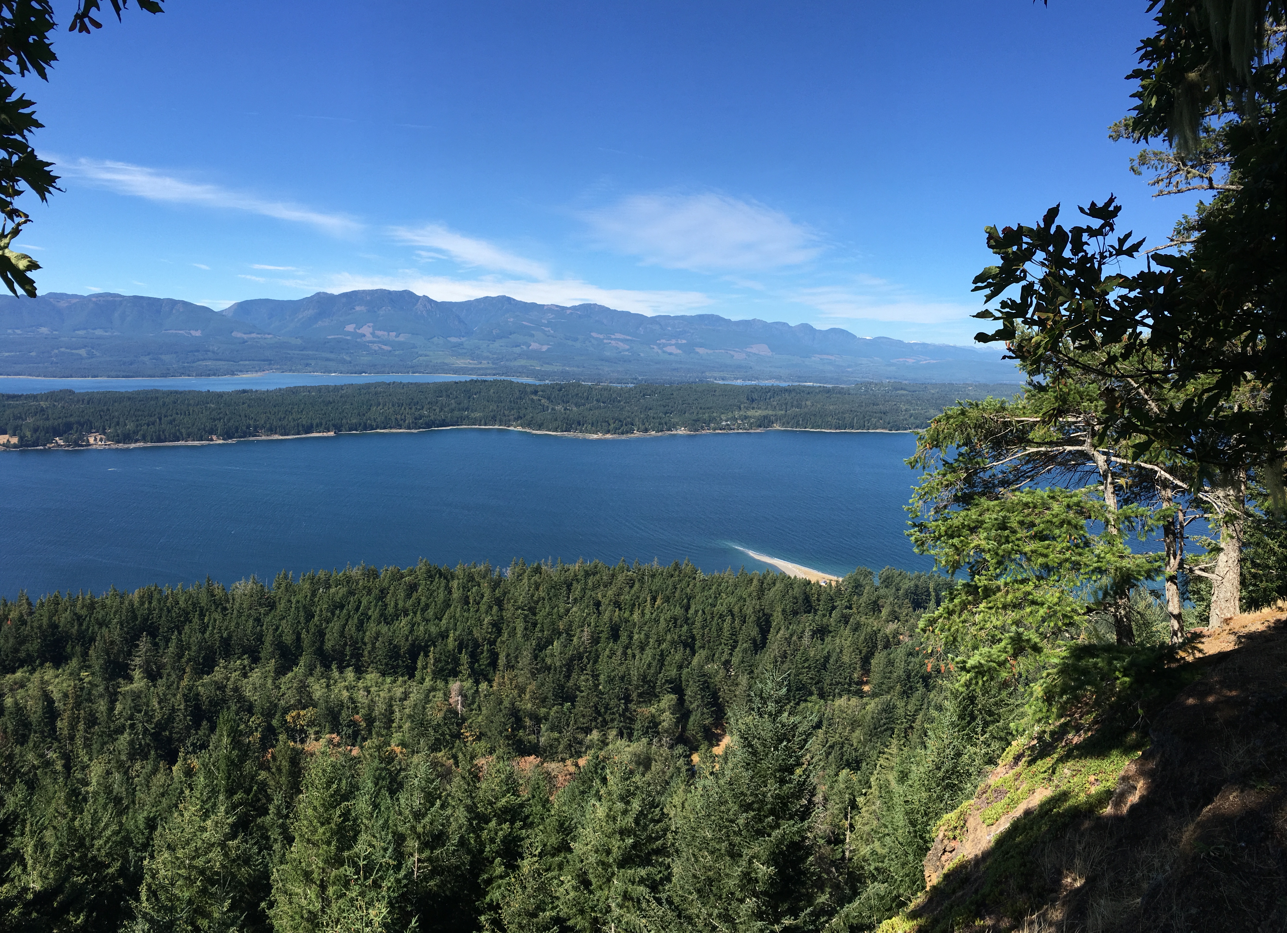
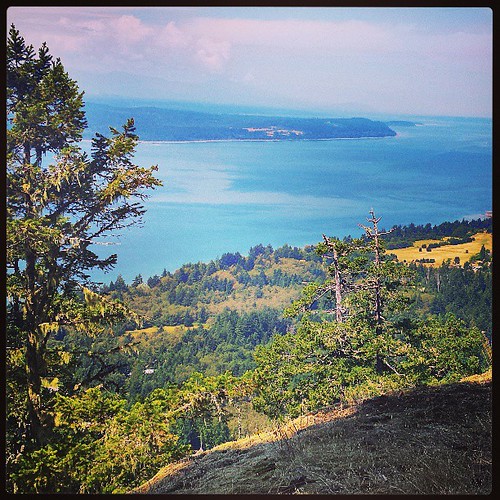
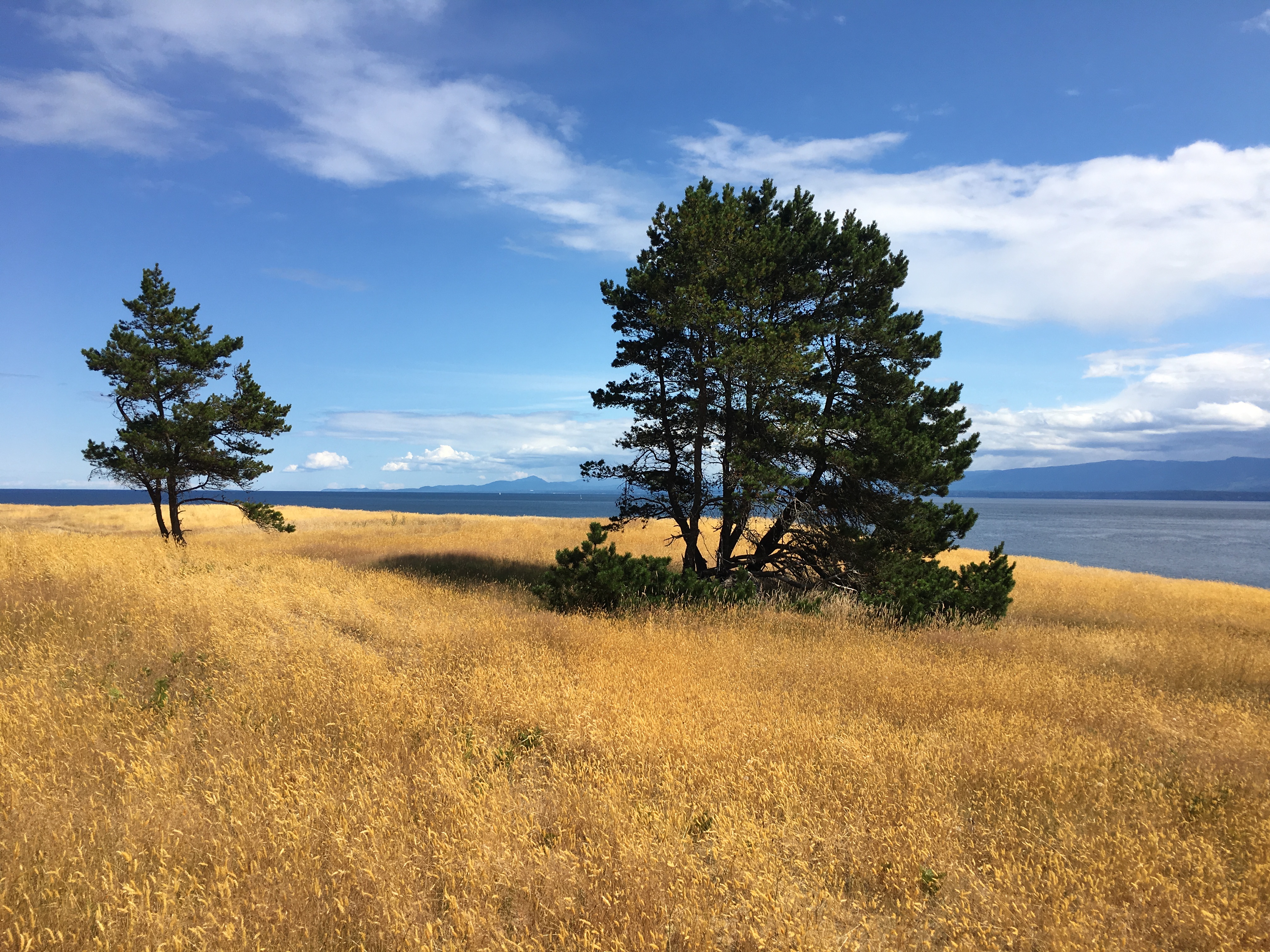
Summit Trail View
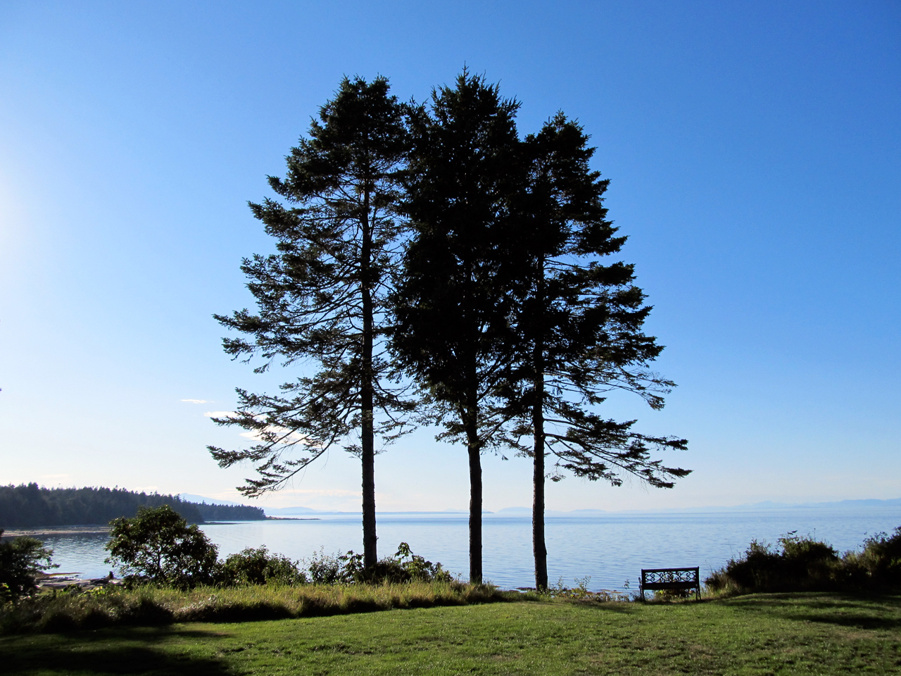
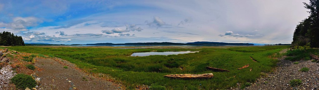
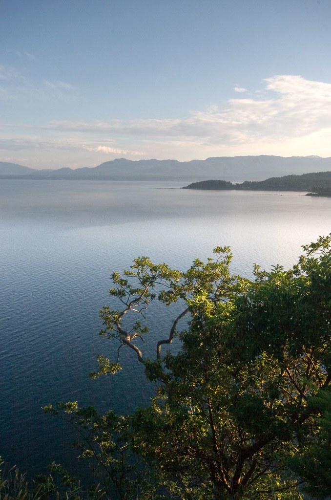
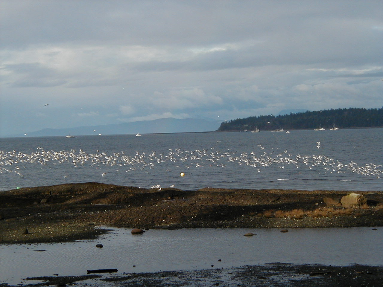
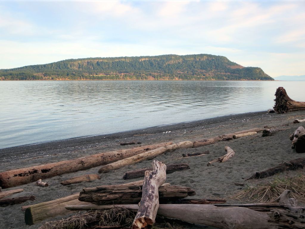
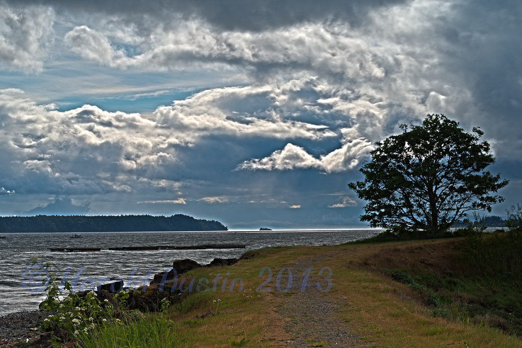
Sea Breeze View
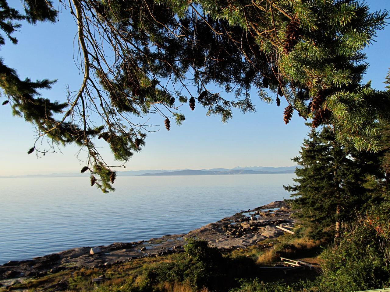
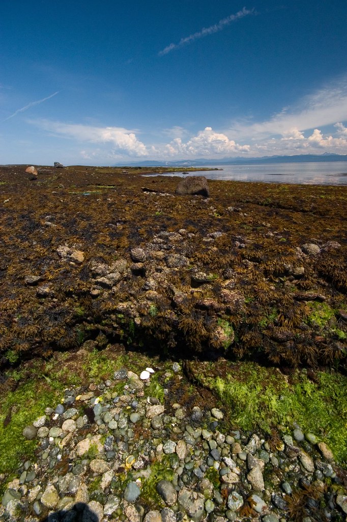
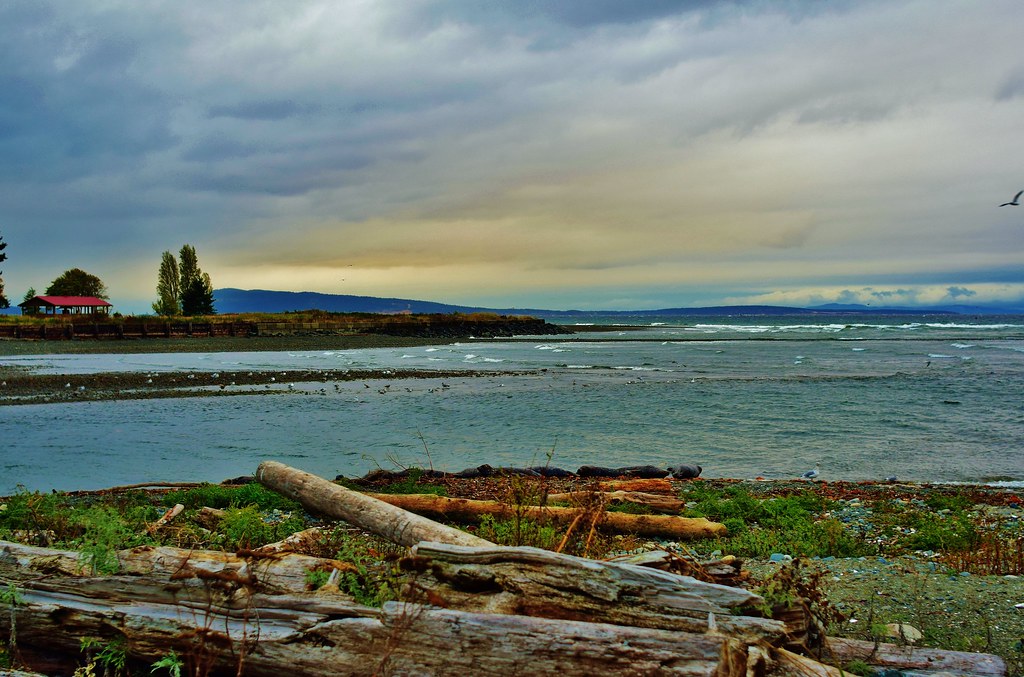
Sea Shore

Summit Trail View
Mid Island views of Denman Island
Helliwell Shore
Treetop on Hornby Island
Great fishing. wildlife viewing. a soda shop, and a saloon
The view from the top of our bike ride on Mt Geoffrey.
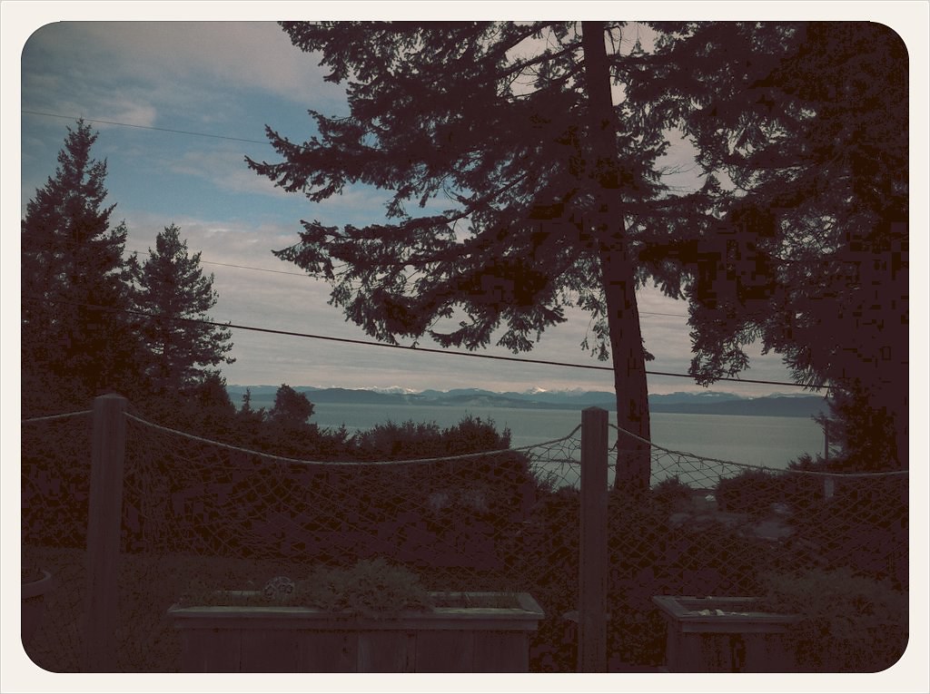
View from the deck.
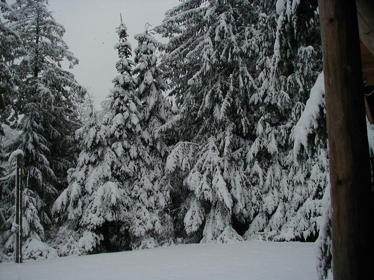
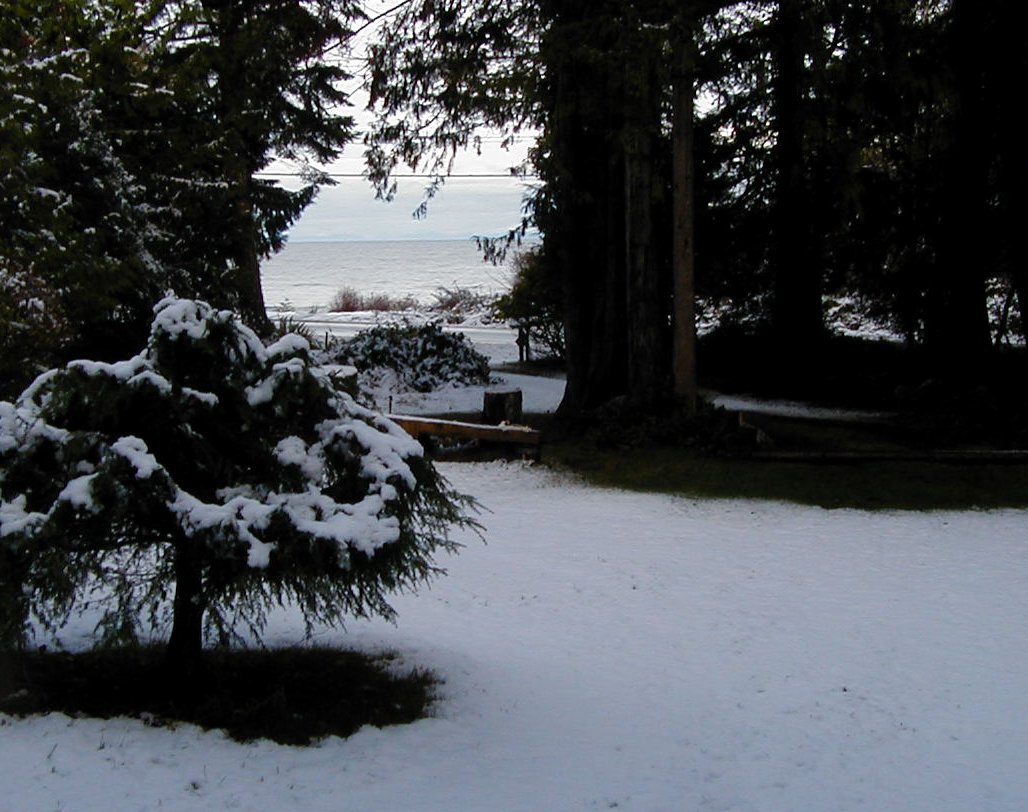
View of major snowfall from Cabin Deck in 2006
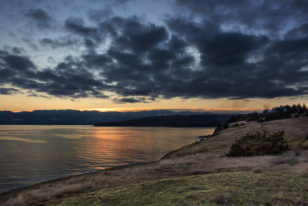
Backwards sunset

Burn Pile (version 1)

trumpeter swan family
View from beach across road from cabin
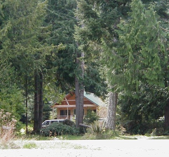
Cabin photo from the beach

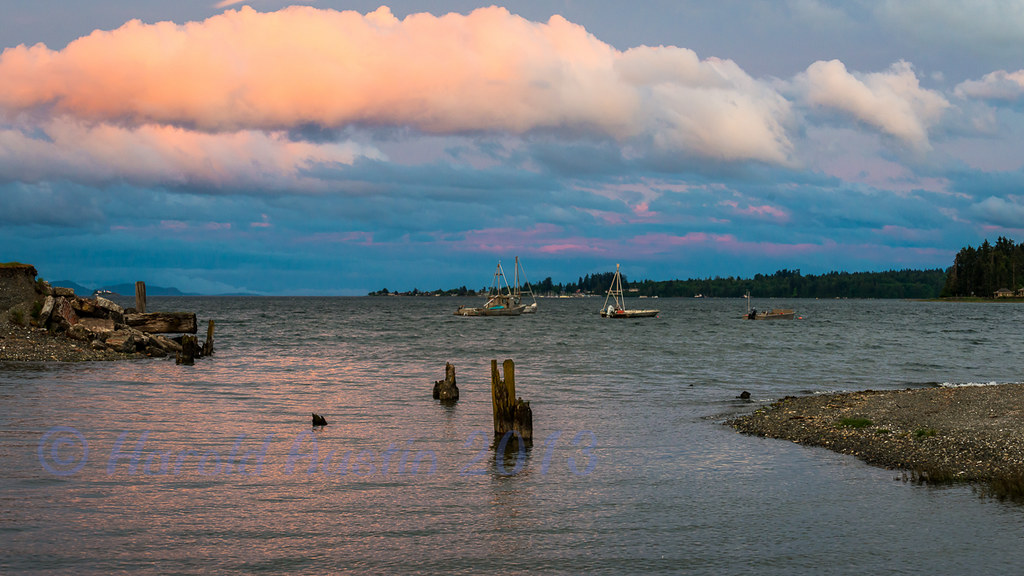
Deep Bay marina
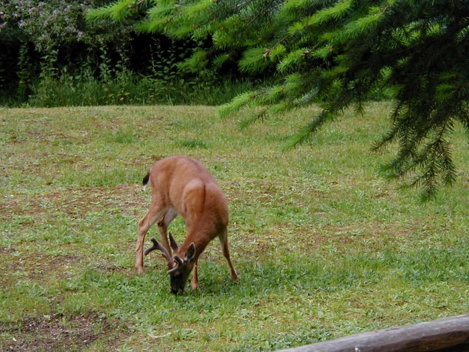
Deer on lawn at Denman Island cabin
View of driveway from cabin
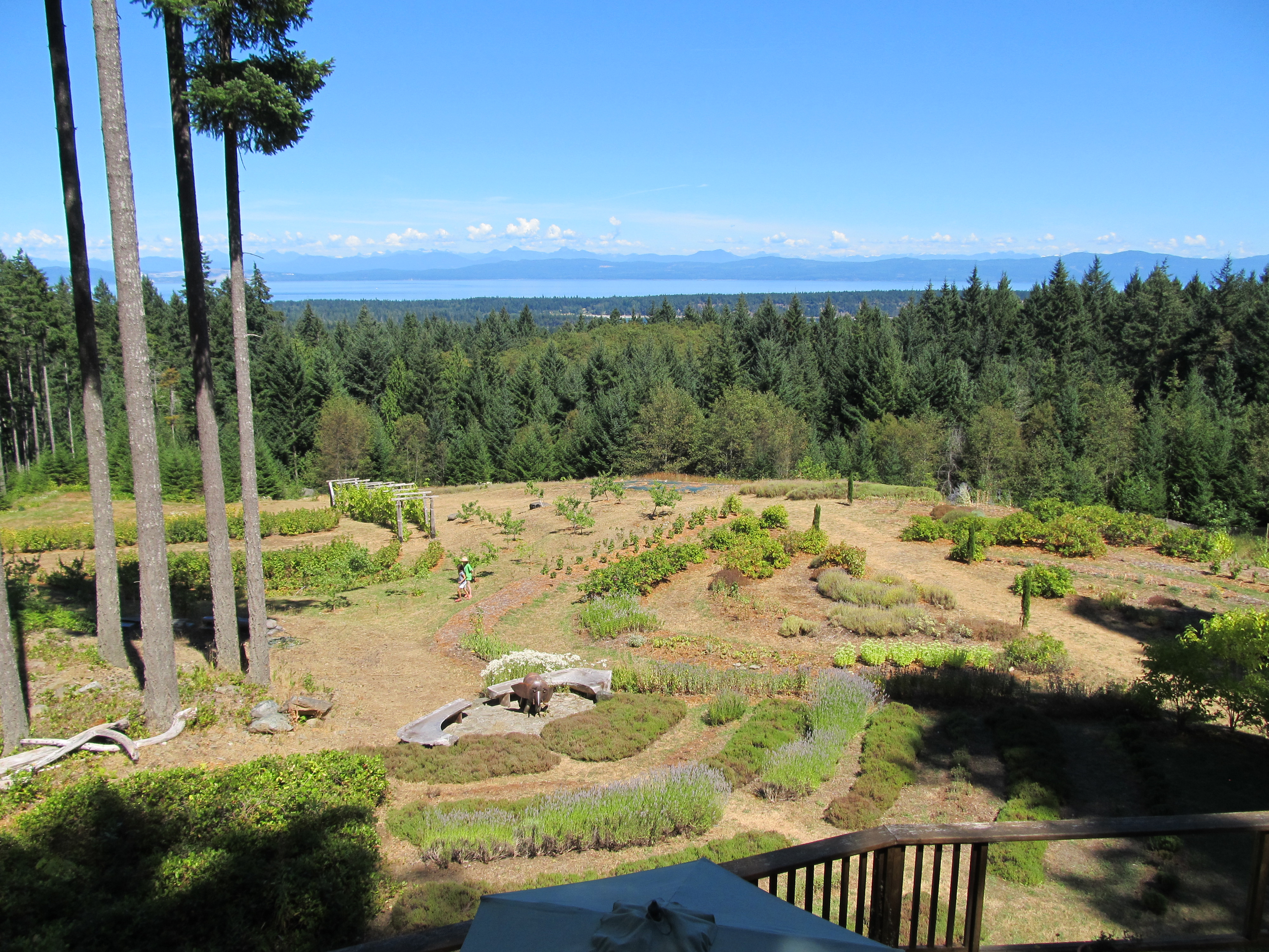
Middle Mountain Mead Grounds 2
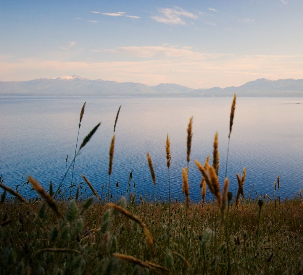
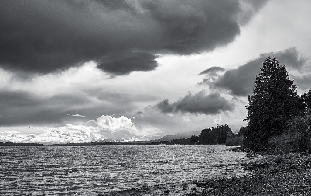
Vancouver Island Landscape
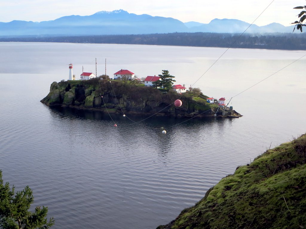
Chrome Island Lighthouse
Beaufort Range
Hornby from Denman
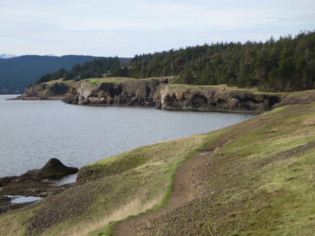
Helliwell Provincial Park
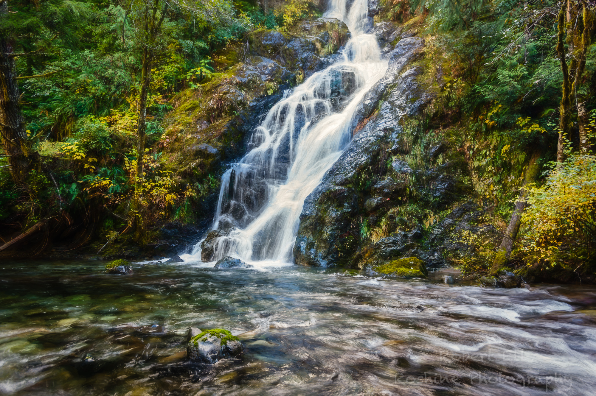
Waterfall - Landscape

Secret Denman Island Forest
Buckley Bay, Vancouver Island
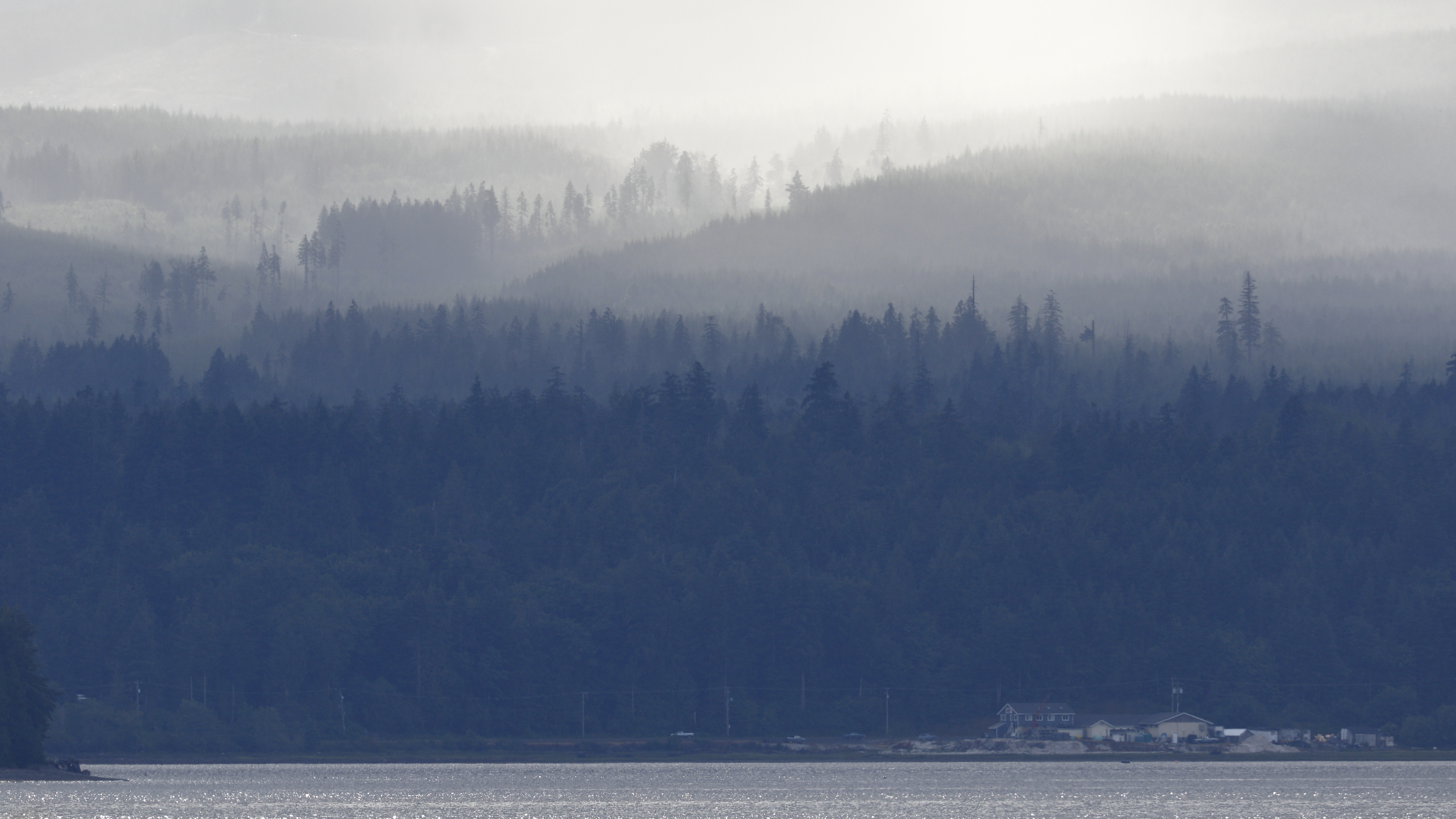
Fanny Bay in the morning
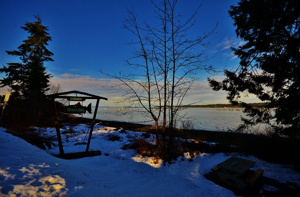
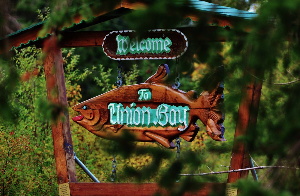
Union Bay
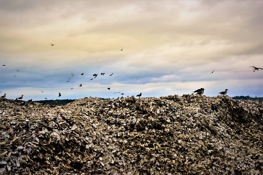
Oyster hill

Fanny Bay, Vancouver Island
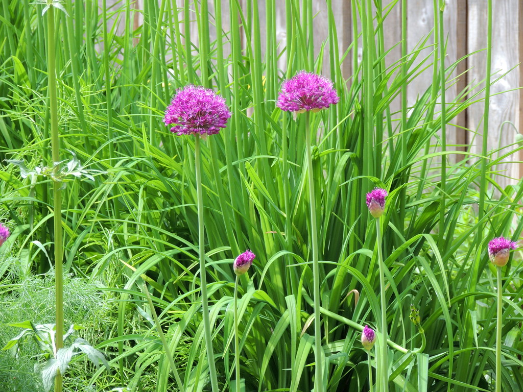
booni's garden_May 2013
Hornby Island
The salmon run is on, the Big Qualicum River
Hornby Island ❤️
Helliwell Bluffs
Mud Bay
Topographic Map of East Rd, Denman Island, BC V0R 1T0, Canada
Find elevation by address:

Places near East Rd, Denman Island, BC V0R 1T0, Canada:
5590 East Rd
Bradsdadsland Campsite
Ford's Cove Marina Ltd.
Comox-strathcona K
1650 Baikie Rd
175 Sunshine Pl
5000 Central Rd
Bowser
7131 Denman Rd
Fillongley Provincial Park
8573 Wavell Rd
3390 Brigantine Crescent
Hornby Island
Tribune Bay Campsite
Tribune Bay Provincial Park
Lighthouse Rv Park
Denman Island
Denman Island
Qualicum Bay Resort
Recent Searches:
- Elevation of Congressional Dr, Stevensville, MD, USA
- Elevation of Bellview Rd, McLean, VA, USA
- Elevation of Stage Island Rd, Chatham, MA, USA
- Elevation of Shibuya Scramble Crossing, 21 Udagawacho, Shibuya City, Tokyo -, Japan
- Elevation of Jadagoniai, Kaunas District Municipality, Lithuania
- Elevation of Pagonija rock, Kranto 7-oji g. 8"N, Kaunas, Lithuania
- Elevation of Co Rd 87, Jamestown, CO, USA
- Elevation of Tenjo, Cundinamarca, Colombia
- Elevation of Côte-des-Neiges, Montreal, QC H4A 3J6, Canada
- Elevation of Bobcat Dr, Helena, MT, USA