Elevation of FM, Burton, TX, USA
Location: United States > Texas > Washington County > Burton >
Longitude: -96.597267
Latitude: 30.2454749
Elevation: 103m / 338feet
Barometric Pressure: 100KPa
Elevation Map:
Satellite Map:
Related Photos:

Wildflowers At The Old Store
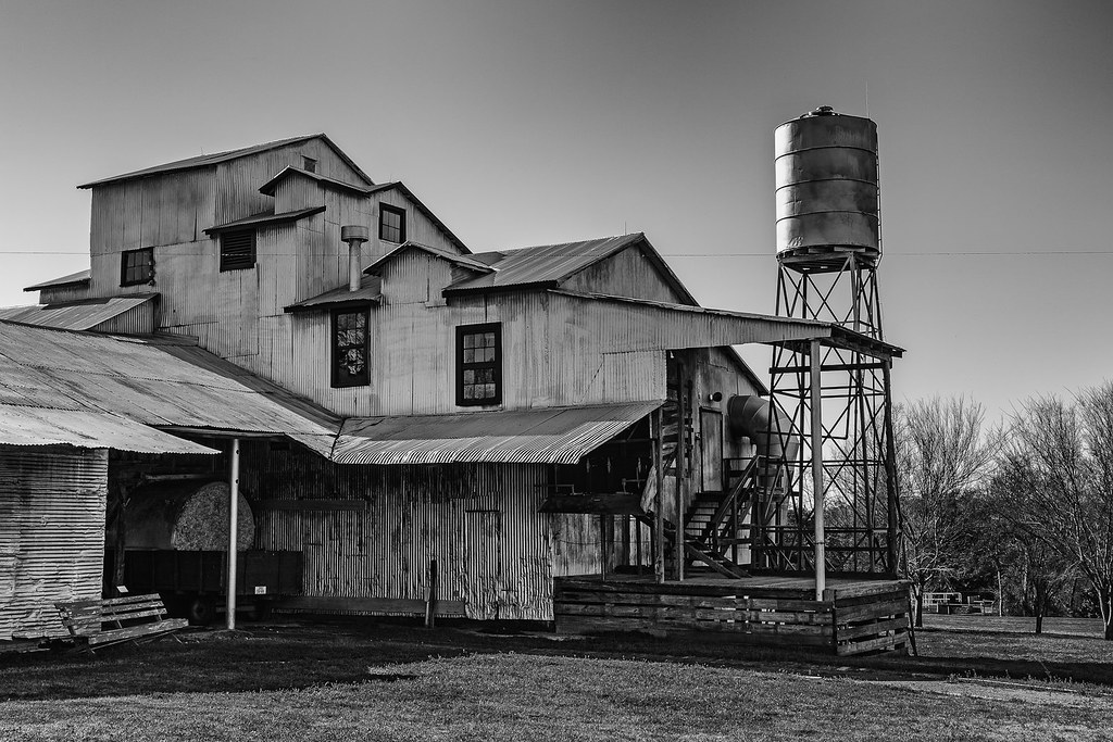
Burton Farmer's Gin (1914)
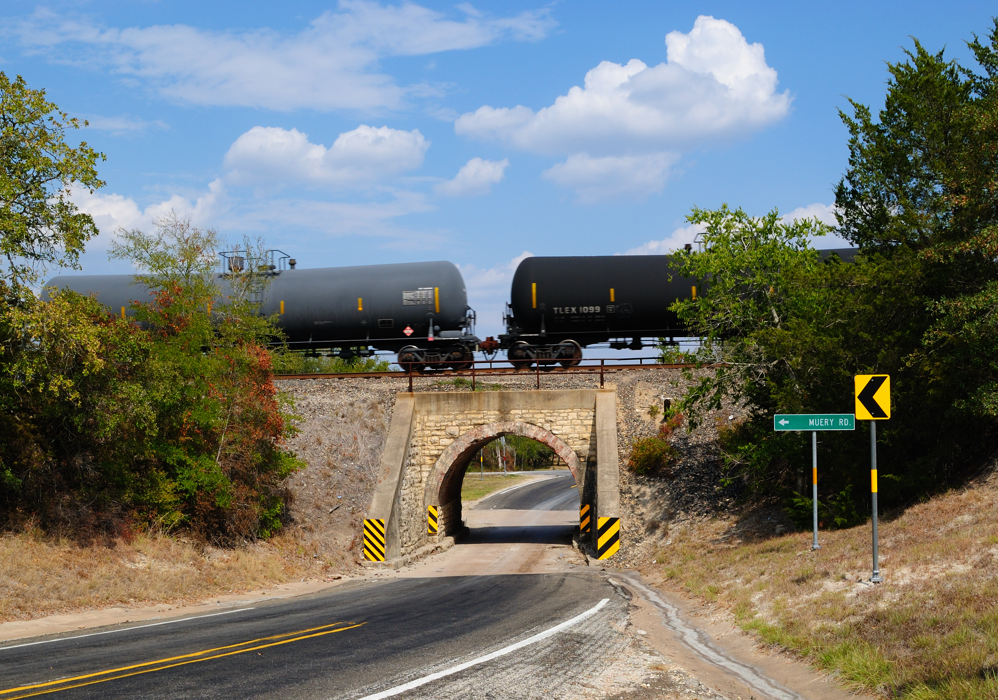
Railroad Bridge over FM 390, Washington County, Texas 0922111505

Seen Better Days

100_44338_May 03, 2014_51_42.jpg

Lunch Break

166/365 : Lake Somerville

86_44324_May 03, 2014_44_53.jpg
Beyond Day

About Sundown in Brenham

109_44347_May 03, 2014_59_52.jpg
Sunrise at Lake Somerville State Park

Sunset over Edwards Lake

Back Pasture
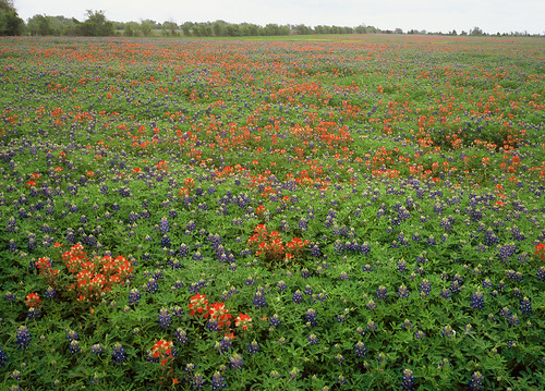
Washington County Bluebonnet and Paintbrush Field, 3/07

Indian Paintbrush and Texas Bluebonnets

Zionville Bluebonnets and Indian Paintbrush, Apr 2011
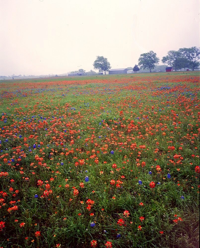
Washington County 4/4/2010 -- Field of Paintbrush and Bluebonnets
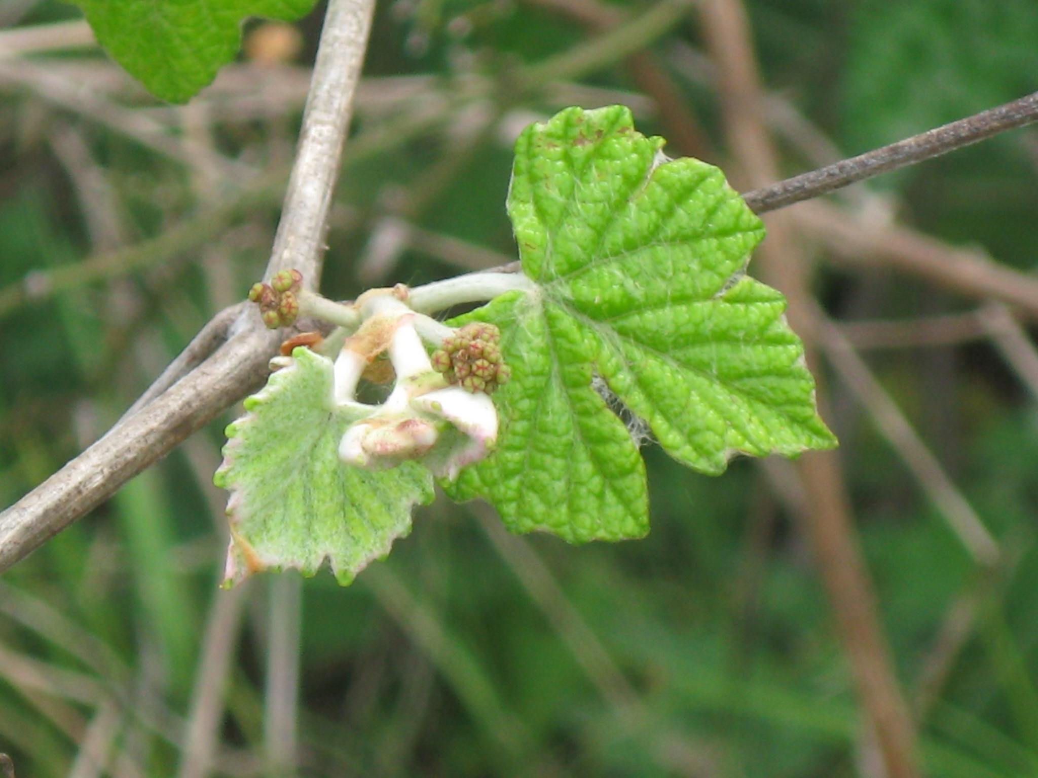
Mustang grape (Vitis mustangensis) Vitaceae

Lake Somerville
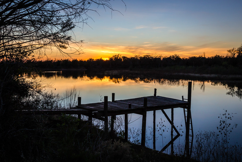
Sunset over Edwards Lake

Lignite or Peat seam at Lake Somerville, Tx.
Topographic Map of FM, Burton, TX, USA
Find elevation by address:

Places near FM, Burton, TX, USA:
6108 Fischer Rd
Rehburg Rd, Burton, TX, USA
6058 Longpoint Rd
Little Berry Drive
701 Farm To Market Rd 390
Somerville
TX-36, Caldwell, TX, USA
Mayfair Lane
5109 Farm To Market Rd 390
5600 Farm To Market Rd 390
Old Independence Rd, Brenham, TX, USA
Washington County
15951 Asa Hoxie Rd
6572 Sandy Hill Rd
Independence
FM, Brenham, TX, USA
10225 T S Saul Rd
Kaye Street, Somerville, TX, USA
Clay
Recent Searches:
- Elevation of Congressional Dr, Stevensville, MD, USA
- Elevation of Bellview Rd, McLean, VA, USA
- Elevation of Stage Island Rd, Chatham, MA, USA
- Elevation of Shibuya Scramble Crossing, 21 Udagawacho, Shibuya City, Tokyo -, Japan
- Elevation of Jadagoniai, Kaunas District Municipality, Lithuania
- Elevation of Pagonija rock, Kranto 7-oji g. 8"N, Kaunas, Lithuania
- Elevation of Co Rd 87, Jamestown, CO, USA
- Elevation of Tenjo, Cundinamarca, Colombia
- Elevation of Côte-des-Neiges, Montreal, QC H4A 3J6, Canada
- Elevation of Bobcat Dr, Helena, MT, USA