Elevation of Fischer Rd, Burton, TX, USA
Location: United States > Texas > Washington County > Burton >
Longitude: -96.610386
Latitude: 30.2719468
Elevation: 88m / 289feet
Barometric Pressure: 100KPa
Elevation Map:
Satellite Map:
Related Photos:
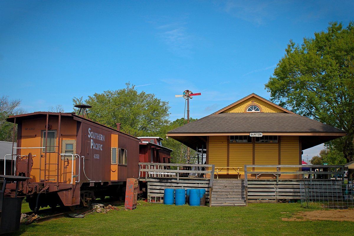
Burton, Texas Depot

Railroad Bridge over FM 390, Washington County, Texas 0922111505

About Sundown in Brenham

Washington County Evening

Washington County Bluebonnet Field Sunrise -- 3/2007

Lignite or Peat seam at Lake Somerville, Tx.

Alan's pond

Flowers at sunset

Petrified wood

Sunset over Edwards Lake

Old Gay Hill Rd

Sunset over Edwards Lake

Sunset over the lake

Lignite or Peat seam at Lake Somerville, Tx.

Washington County Bluebonnet and Paintbrush Field, 3/07

Sunrise at Lake Somerville State Park

Washington County --Boundary School Road Bluebonnets #2 -- 4/19/09

_MG_7593-Edit-1024.jpg

Lake Somerville Texas

Washington County 4/4/2010 -- Field of Paintbrush and Bluebonnets

Roadside Bluebonnets, Zionville TX -- Apr 2011

Zionville Bluebonnets and Indian Paintbrush, Apr 2011

86_44324_May 03, 2014_44_53.jpg
Topographic Map of Fischer Rd, Burton, TX, USA
Find elevation by address:

Places near Fischer Rd, Burton, TX, USA:
8930 Fm 1948
Rehburg Rd, Burton, TX, USA
6058 Longpoint Rd
Little Berry Drive
Somerville
701 Farm To Market Rd 390
TX-36, Caldwell, TX, USA
Mayfair Lane
5109 Farm To Market Rd 390
5600 Farm To Market Rd 390
Old Independence Rd, Brenham, TX, USA
15951 Asa Hoxie Rd
Washington County
6572 Sandy Hill Rd
Independence
FM, Brenham, TX, USA
10225 T S Saul Rd
Kaye Street, Somerville, TX, USA
Clay
Recent Searches:
- Elevation of Congressional Dr, Stevensville, MD, USA
- Elevation of Bellview Rd, McLean, VA, USA
- Elevation of Stage Island Rd, Chatham, MA, USA
- Elevation of Shibuya Scramble Crossing, 21 Udagawacho, Shibuya City, Tokyo -, Japan
- Elevation of Jadagoniai, Kaunas District Municipality, Lithuania
- Elevation of Pagonija rock, Kranto 7-oji g. 8"N, Kaunas, Lithuania
- Elevation of Co Rd 87, Jamestown, CO, USA
- Elevation of Tenjo, Cundinamarca, Colombia
- Elevation of Côte-des-Neiges, Montreal, QC H4A 3J6, Canada
- Elevation of Bobcat Dr, Helena, MT, USA