Elevation of Florence, Pittsford, VT, USA
Location: United States > Vermont > Rutland County > Pittsford >
Longitude: -73.060012
Latitude: 43.7156679
Elevation: 125m / 410feet
Barometric Pressure: 100KPa
Elevation Map:
Satellite Map:
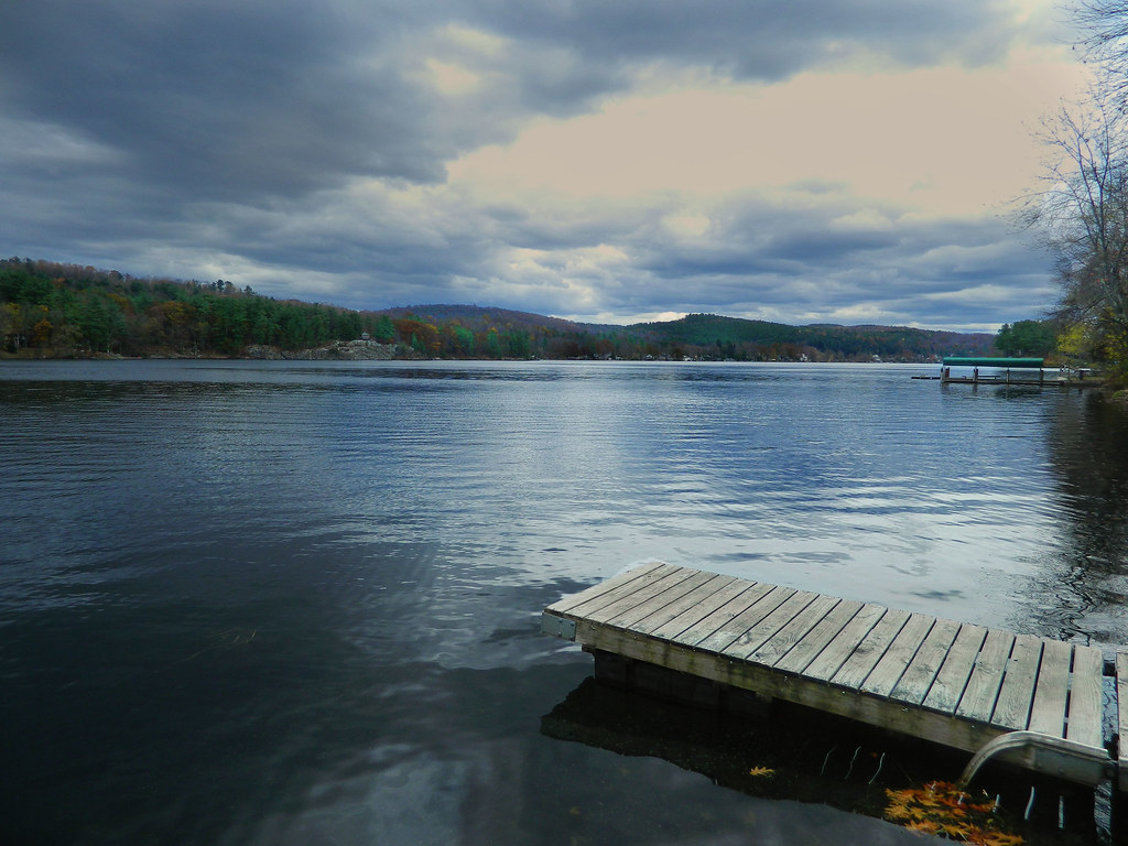
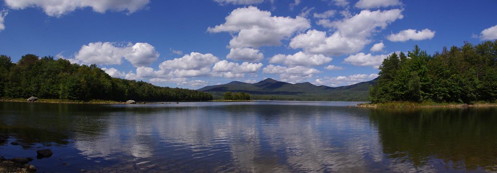
Related Photos:

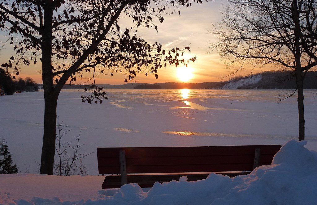
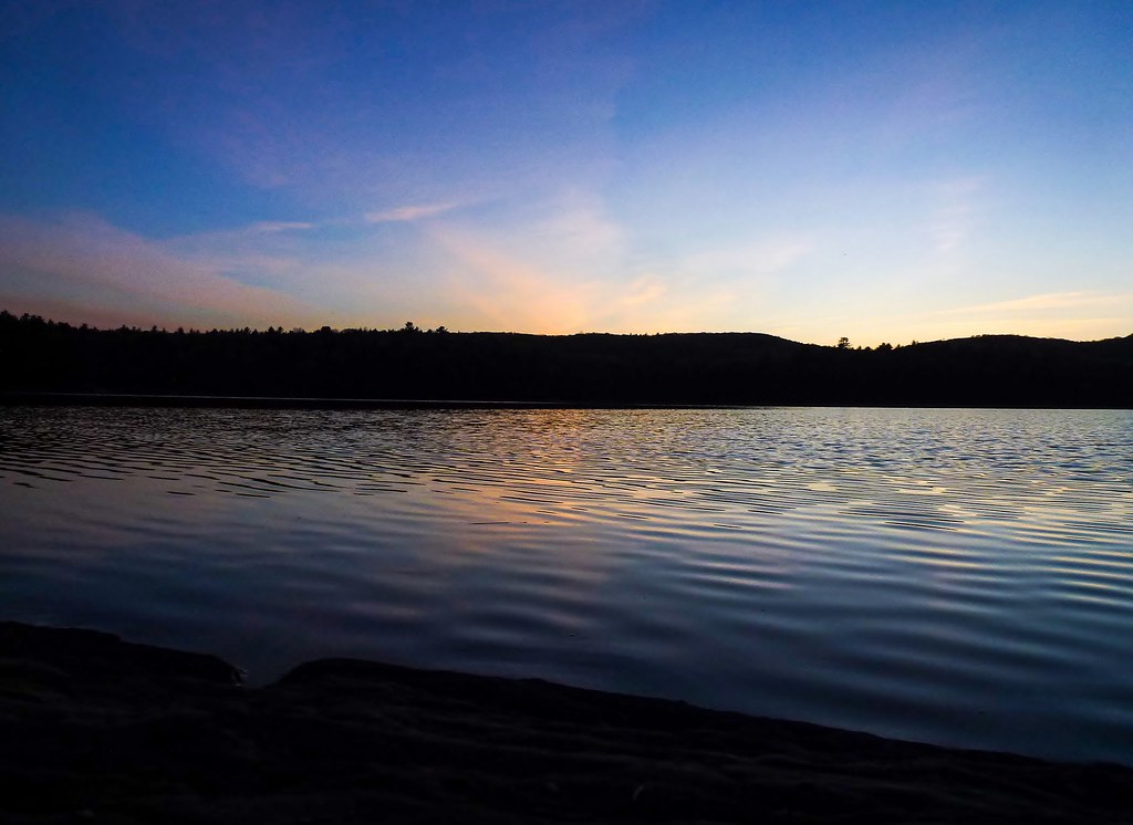
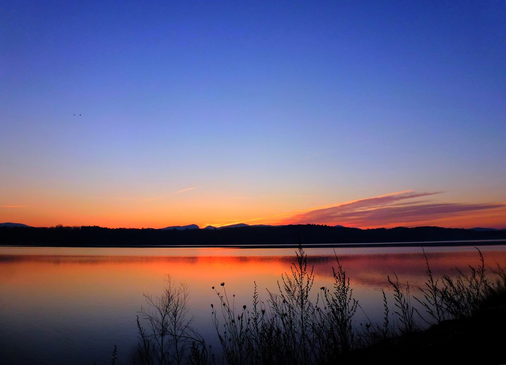
Bench View At Sunset

The Lake House
The View
Bench Side View
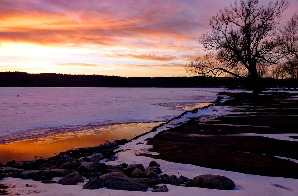
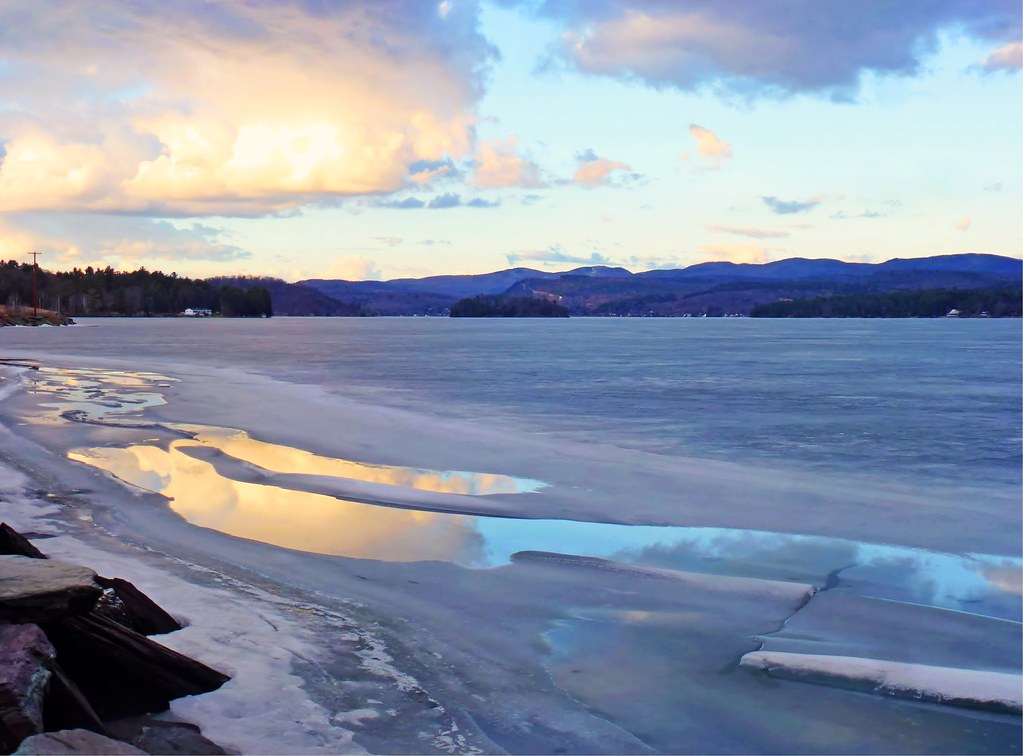
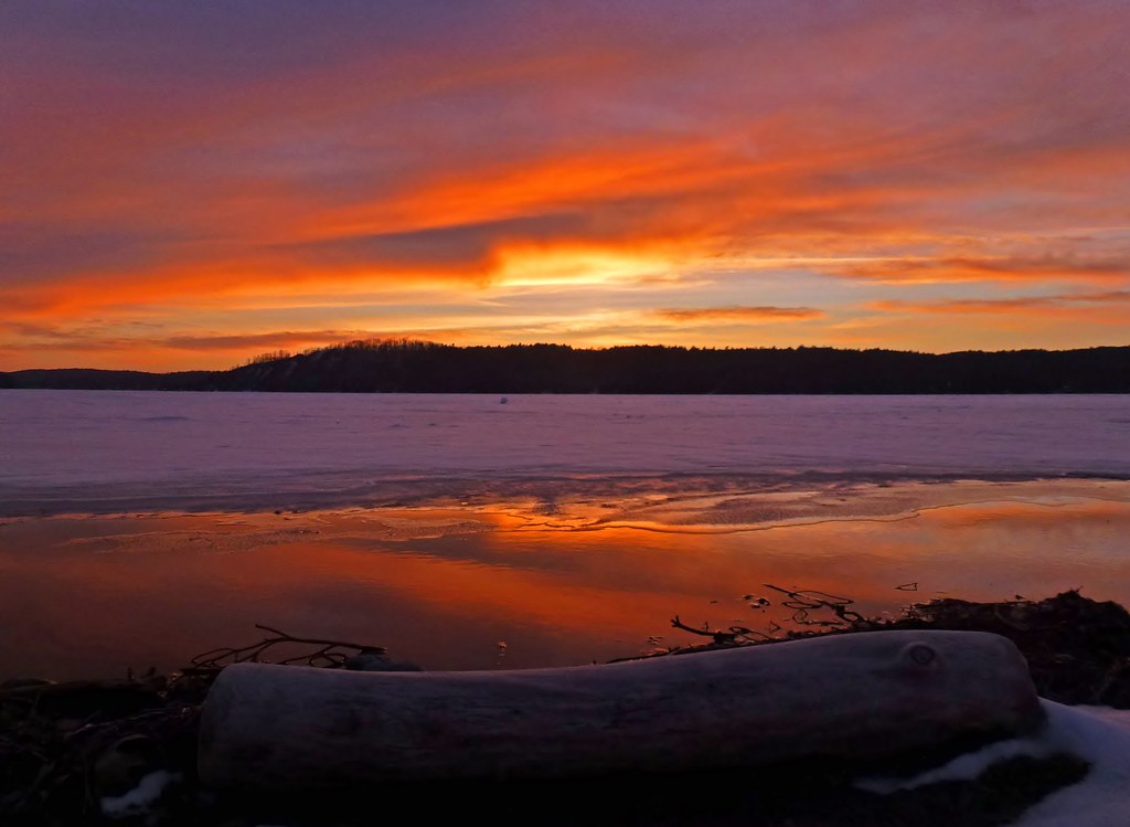
Lakeside Sunset

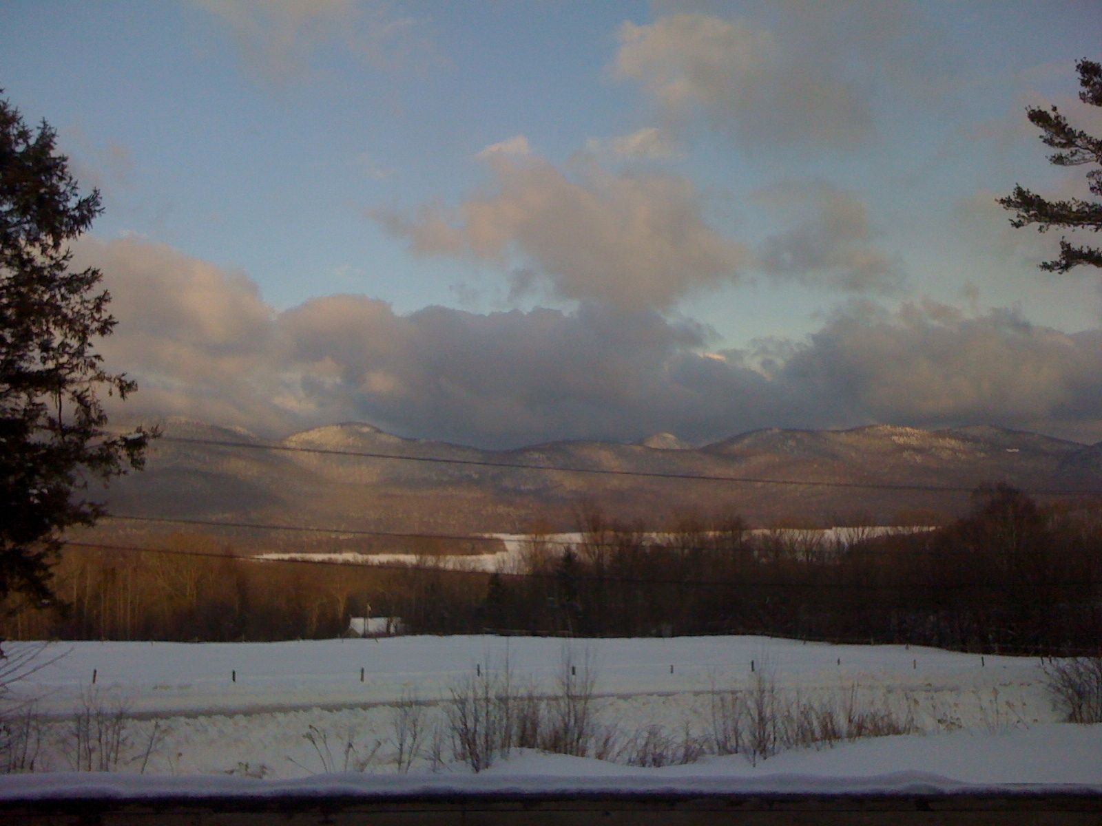
Big Mountain View to Brandon
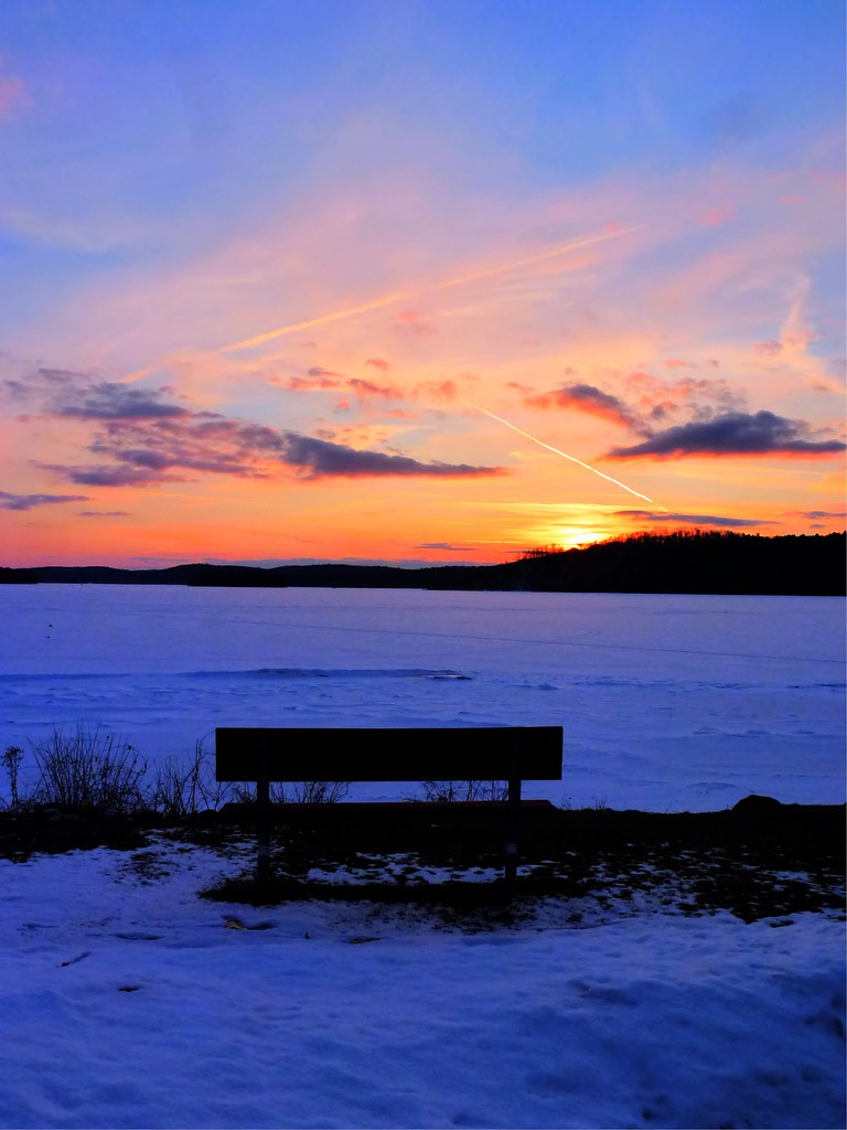
Bench View II

Brandon Gap
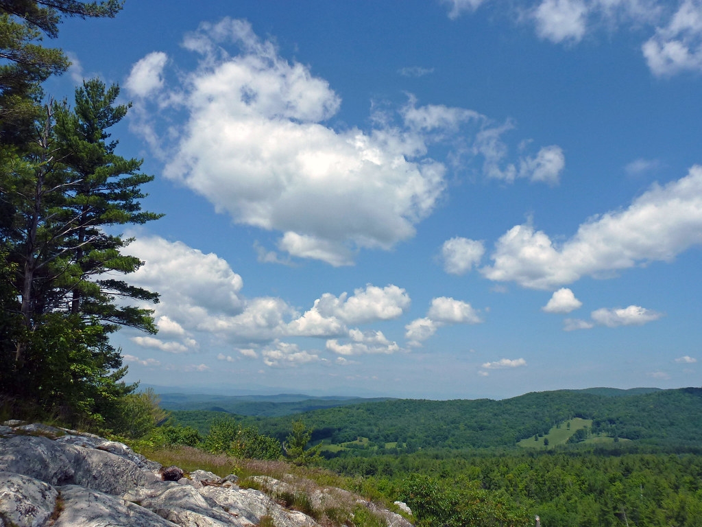
Big Sky
Mountain Top Inn view

bird's eye view

Painting a Barn
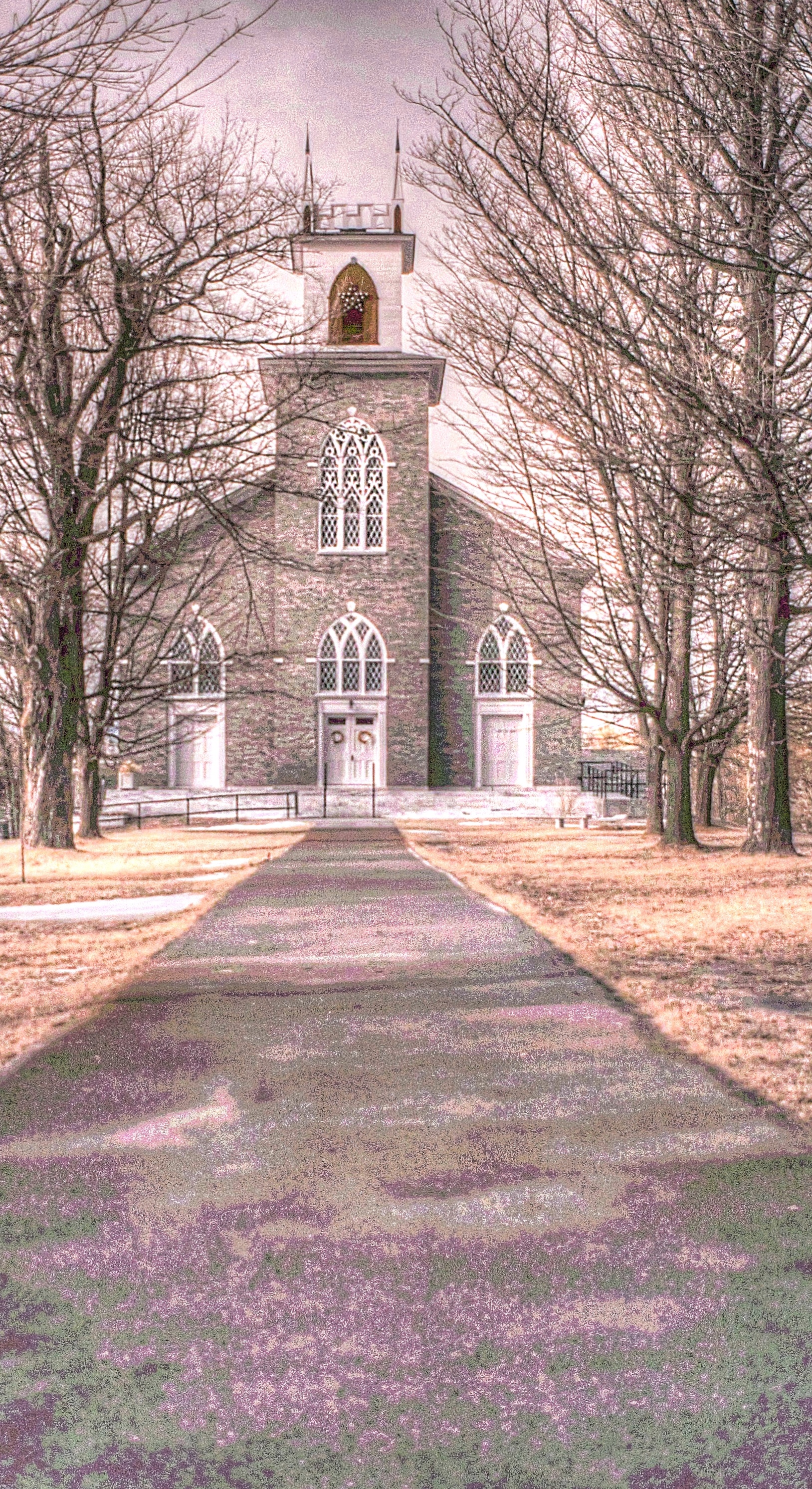
Pittsford Congregational Church [infrared]
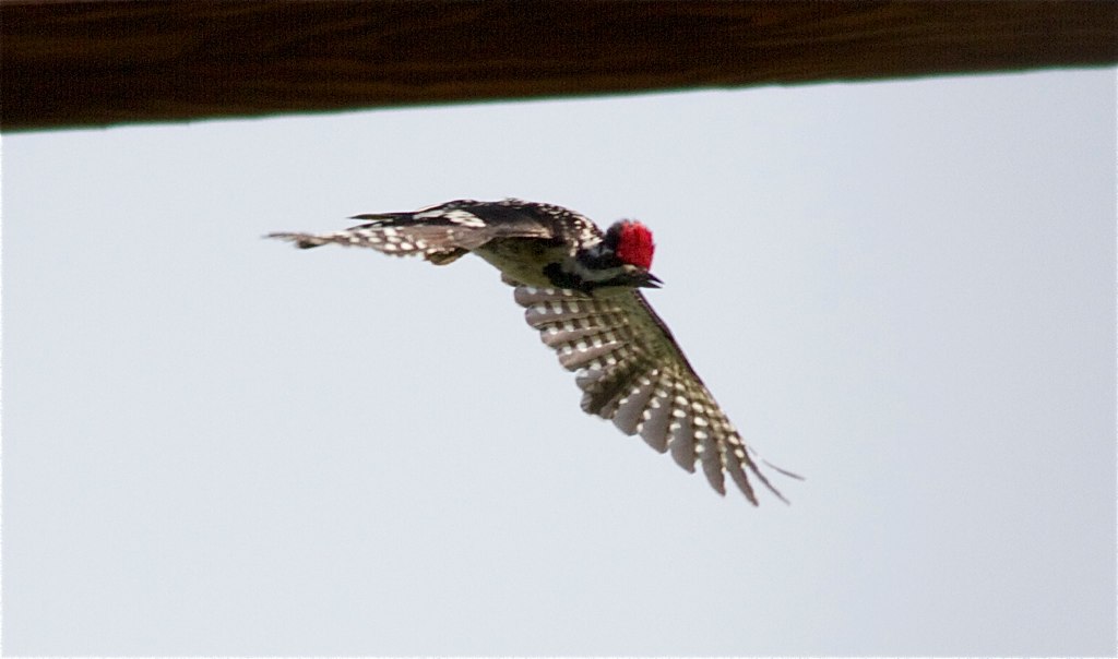
Yellow-bellied Sapsucker
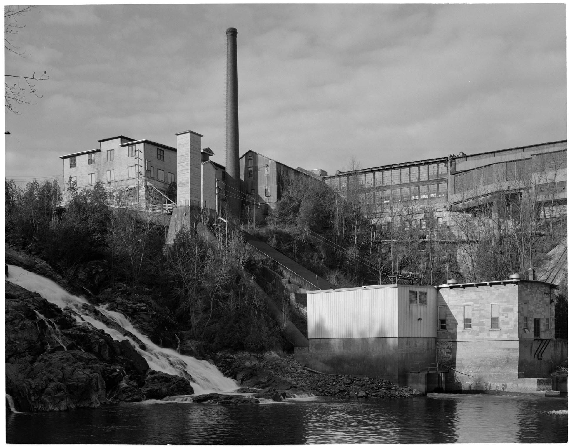
VT Marble Mill Complex

Labor in Room LDR3

Sedum takes in the view - 11/20/11

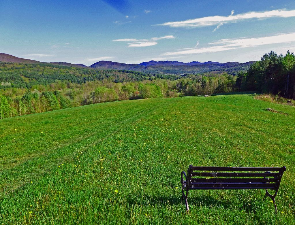
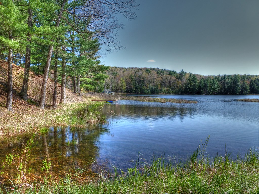
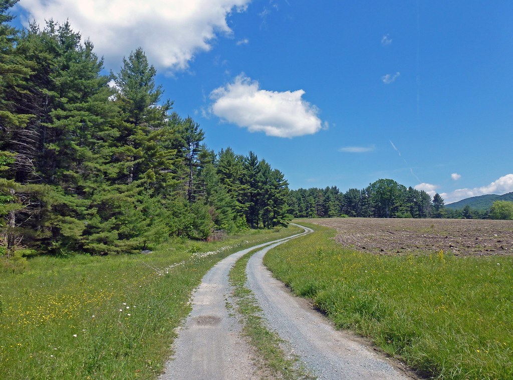
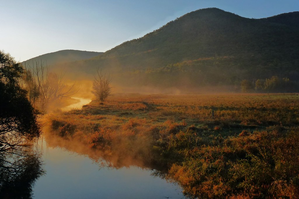
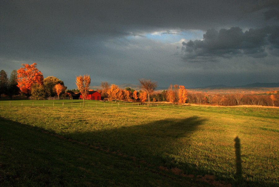
Big Valley
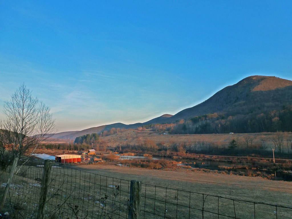
Mountain Valley
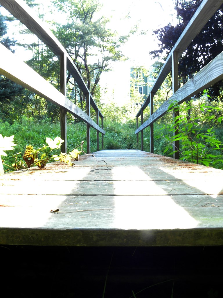
Bridge, Low View
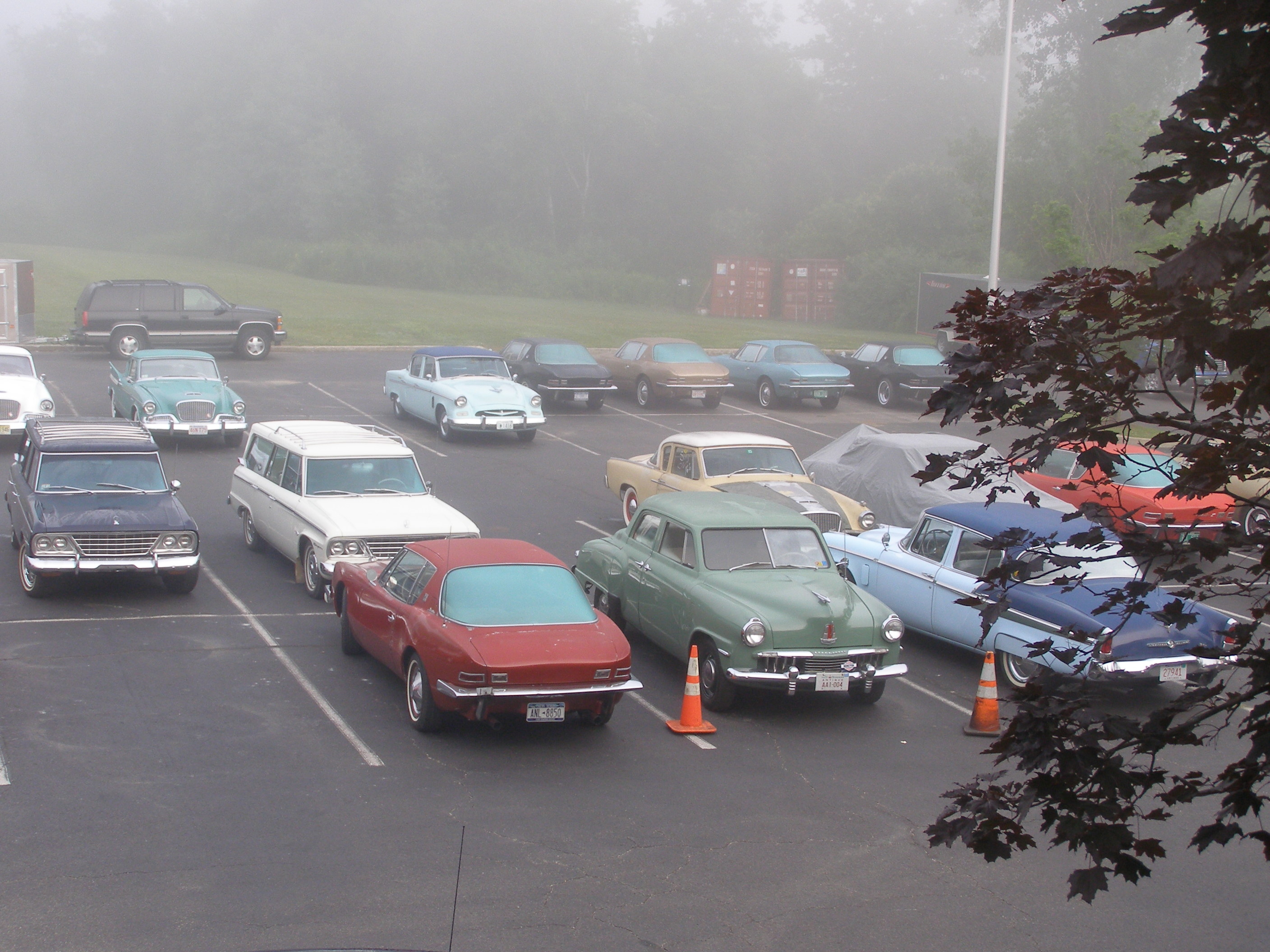
Northeast Zone meet, Studebaker Drivers Club, Rutland, Vermont USA
Cloud Reflections...
fire island
Blue Ripples

Walking to Mt Zion - Explored
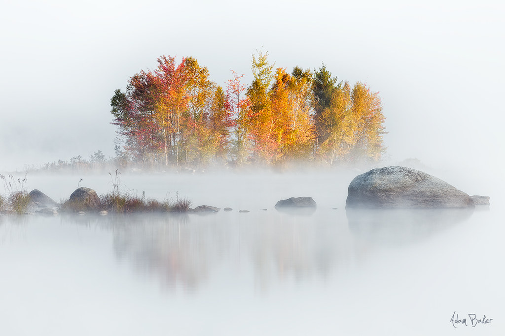
Black Pond
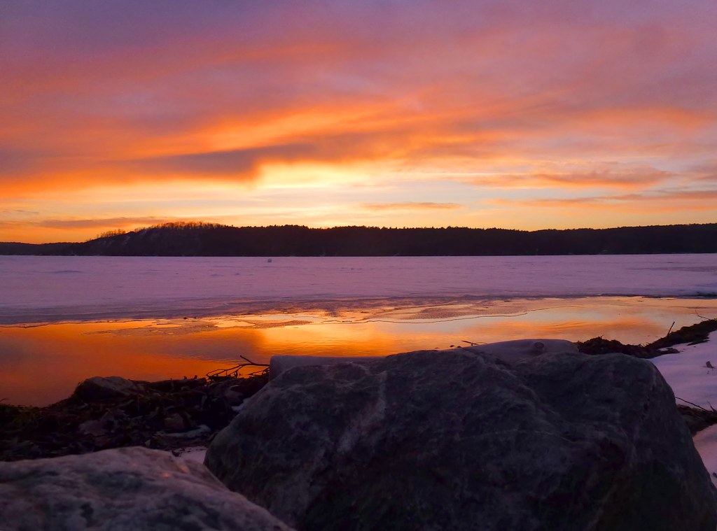
Shoreline Sunset
All Is Calm...All is Bright - (Explored 12/20/2012)
The Path to Mt. Zion
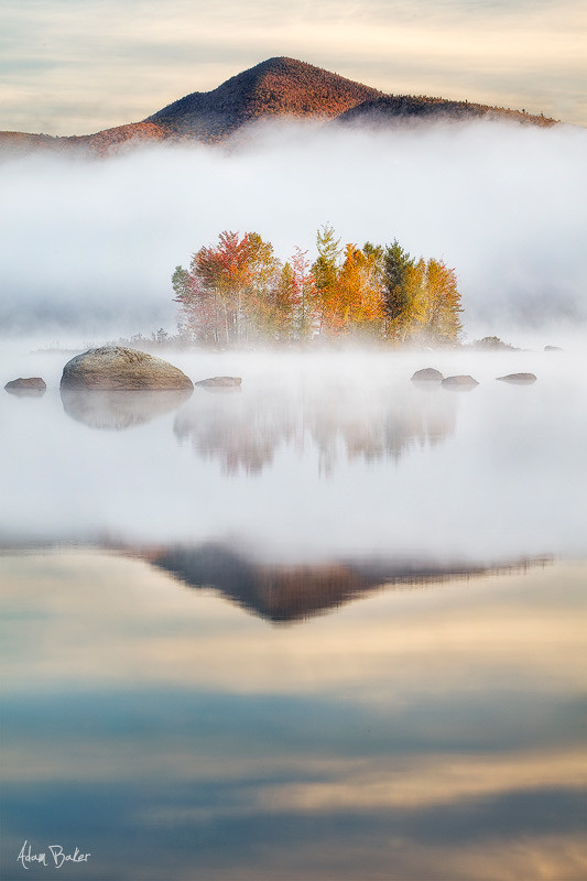
a place in the clouds

Black Pond Reflections
Birds Eye Mountain at Sunrise - Explored 10.21.2012
at the edge of light
Sunset Melting
Sunset Rainbow

Sunset By The Shore
Lake Bomoseen
Chittenden Reservoir
Topographic Map of Florence, Pittsford, VT, USA
Find elevation by address:

Places near Florence, Pittsford, VT, USA:
1497 Fire Hill Rd
Pittsford
Floormaster
634 Stevens Rd
Proctor
4 Warner Ave
141 Parker Rd
2697 Furnace Brook Rd
2697 Furnace Brook Rd
2697 Furnace Brook Rd
333 Creed Hill Rd
North Chittenden
204 Middle Rd
Rutland County
Rutland, Vt
Durgy Hill Rd, West Rutland, VT, USA
355 Shadow Ln
41 Blue Ridge Rd
Chittenden
49 Pinecrest Rd, Rutland, VT, USA
Recent Searches:
- Elevation of Congressional Dr, Stevensville, MD, USA
- Elevation of Bellview Rd, McLean, VA, USA
- Elevation of Stage Island Rd, Chatham, MA, USA
- Elevation of Shibuya Scramble Crossing, 21 Udagawacho, Shibuya City, Tokyo -, Japan
- Elevation of Jadagoniai, Kaunas District Municipality, Lithuania
- Elevation of Pagonija rock, Kranto 7-oji g. 8"N, Kaunas, Lithuania
- Elevation of Co Rd 87, Jamestown, CO, USA
- Elevation of Tenjo, Cundinamarca, Colombia
- Elevation of Côte-des-Neiges, Montreal, QC H4A 3J6, Canada
- Elevation of Bobcat Dr, Helena, MT, USA