Elevation of Fire Hill Rd, Florence, VT, USA
Location: United States > Vermont > Rutland County > Pittsford > Florence >
Longitude: -73.086876
Latitude: 43.723801
Elevation: 183m / 600feet
Barometric Pressure: 99KPa
Elevation Map:
Satellite Map:
Related Photos:
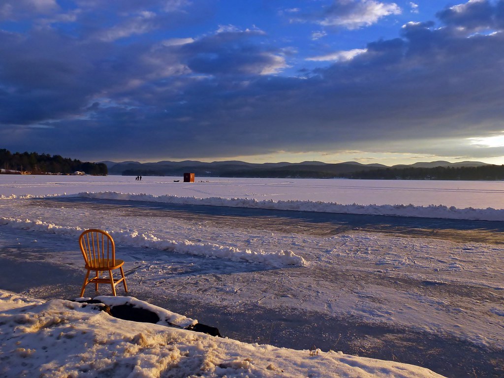
Rink Side View

The Lake House
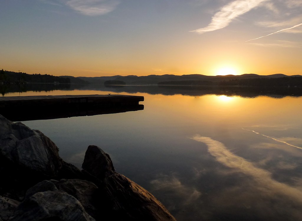
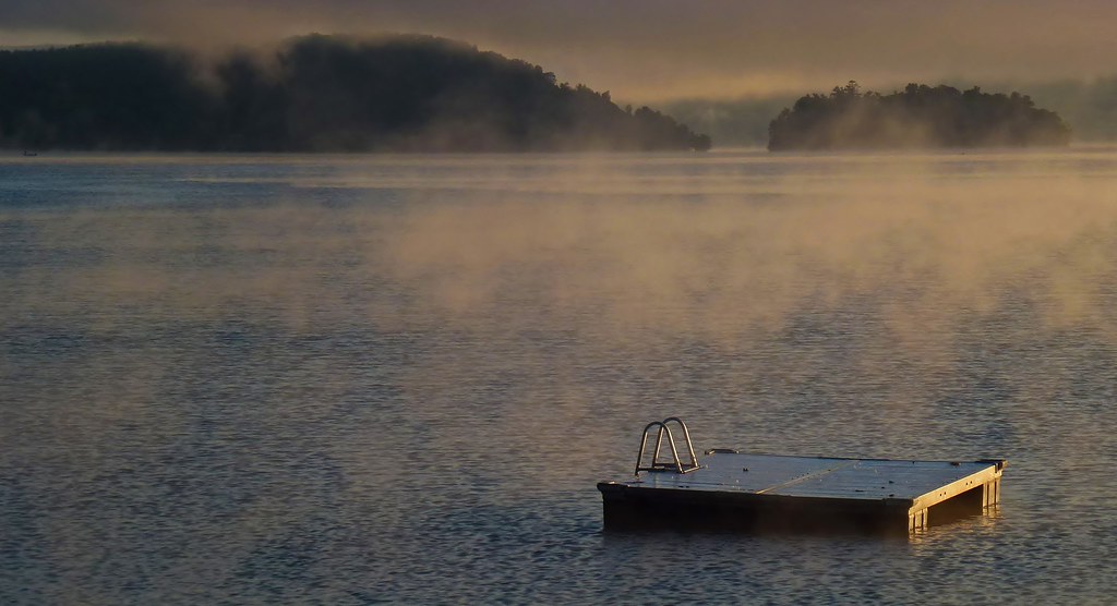
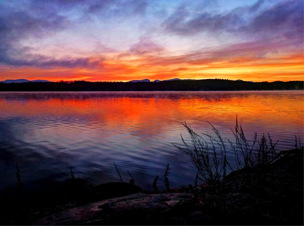
Spring Sunrise By The Docks - Explored 4/9/13
Sunrise by the West Side

Closer View [Explored 8.15.2012]

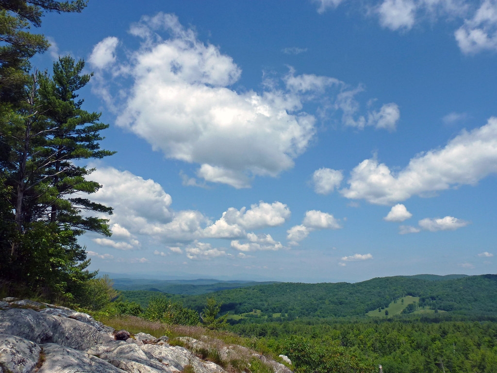
Big Mountain View to Brandon
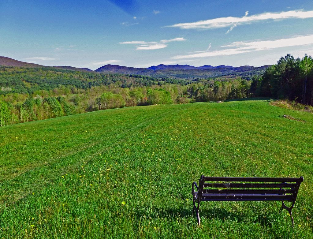
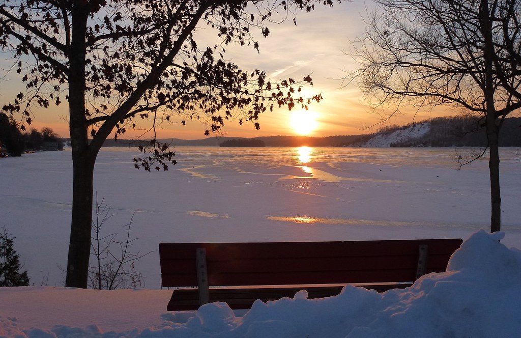
Bench View II
Big Sky
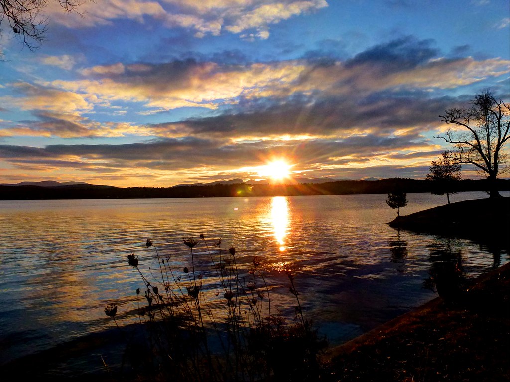
Long View of Lake Bomoseen

Bench View At Sunset

Fisherman's Long View
The View
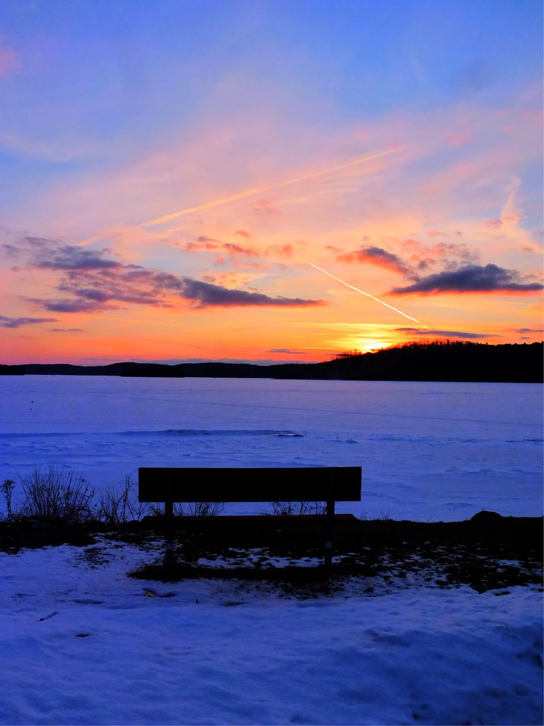
Bench Side View
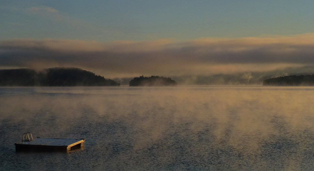
Fall Mist on Lake Bomoseen
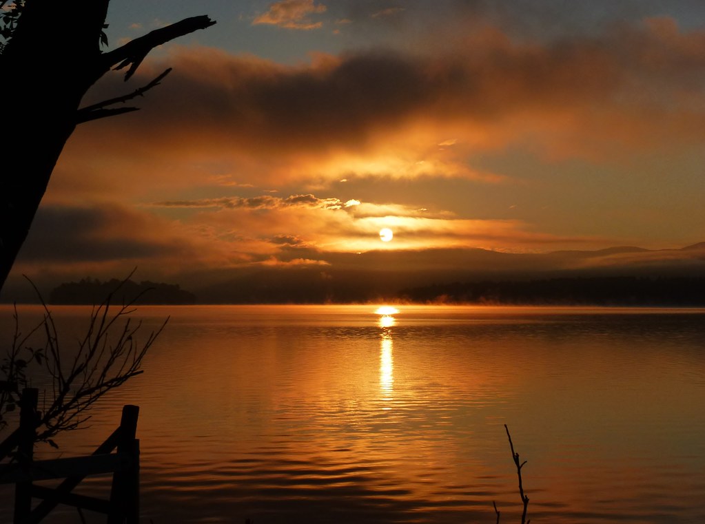
Sunrise Silhouette
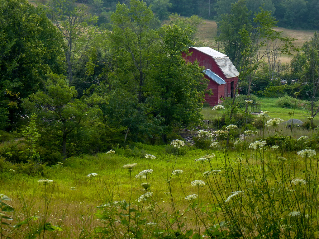
Barn Across The Field

Rink Side View
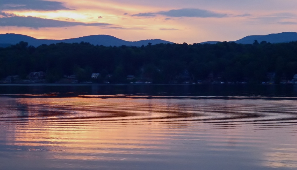
Lakeside Sunset

Brandon Gap

Mountain View
Long View III
Cloud Reflections...
fire island

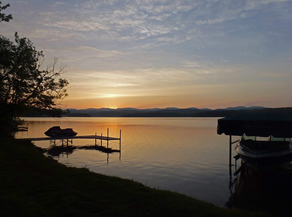
Sunrise By the Dock [Explored 8/8/2012]
Dockside Sunrise - Explored 12/21/12
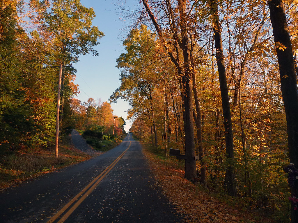
Roadside Foliage - Explored 10/19/2012

Walking to Mt Zion - Explored
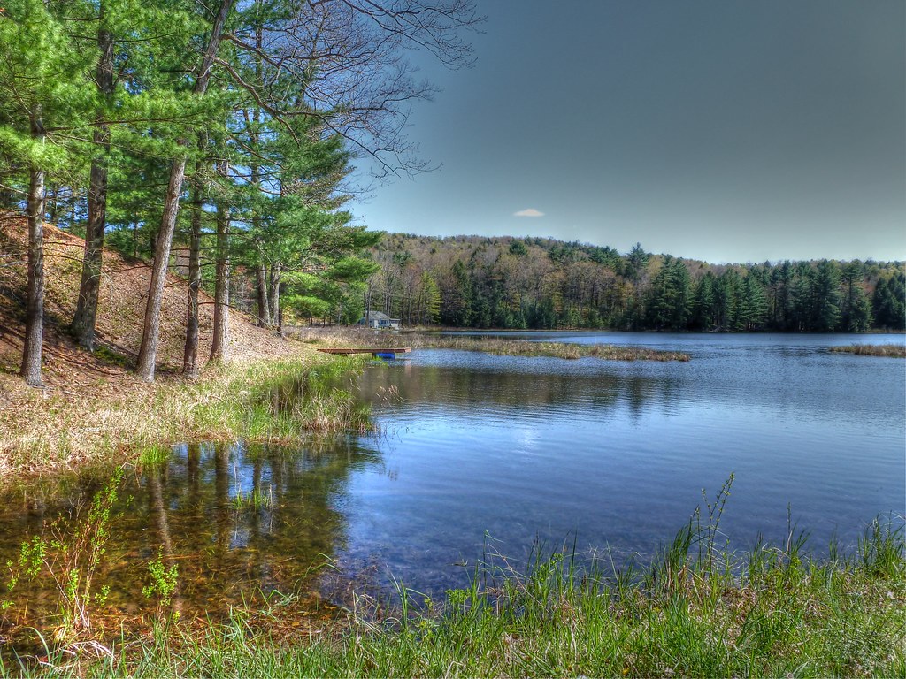
Black Pond
Pink Reflections [Explored]
West Sunrise Silhouette
All Is Calm...All is Bright - (Explored 12/20/2012)
Sun Parted The Winter Path
The Path to Mt. Zion
The Beaver - Explored - 5/11/2013

Black Pond Reflections
Let The Light Shine - Explored 12/26/2012

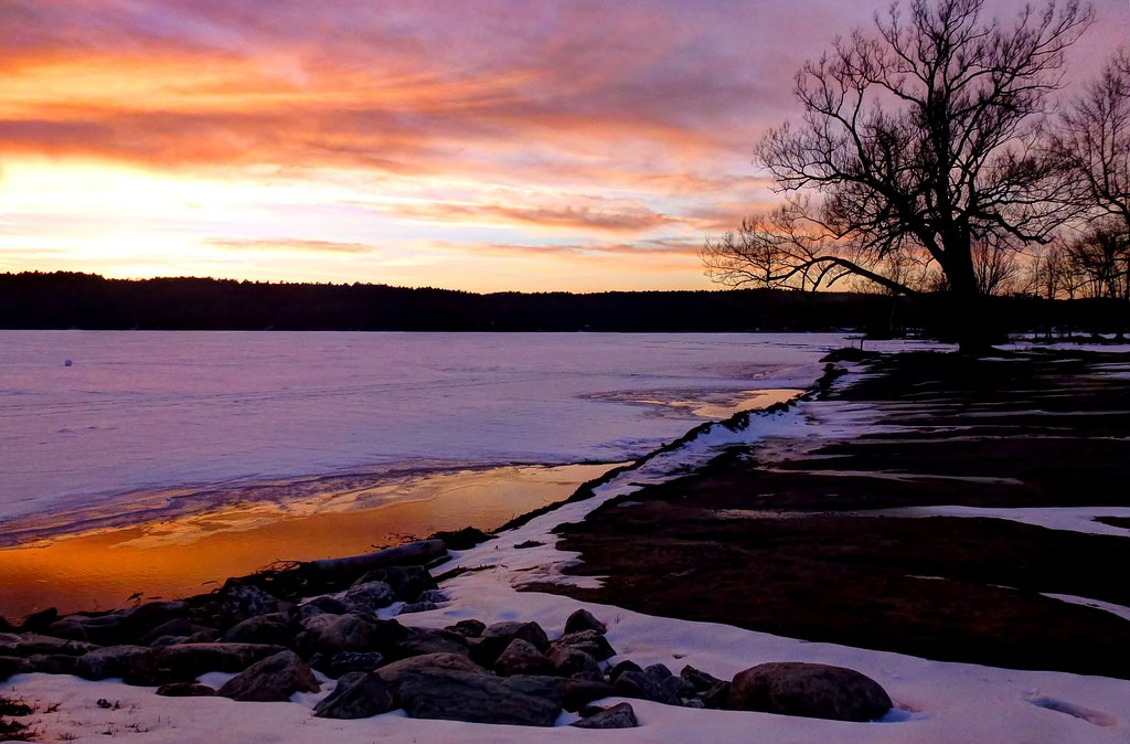
Bomoseen Skies < Explored 12/28/2012 >
Topographic Map of Fire Hill Rd, Florence, VT, USA
Find elevation by address:

Places near Fire Hill Rd, Florence, VT, USA:
Florence
Pittsford
Floormaster
Proctor
634 Stevens Rd
4 Warner Ave
141 Parker Rd
2697 Furnace Brook Rd
2697 Furnace Brook Rd
2697 Furnace Brook Rd
North Chittenden
333 Creed Hill Rd
204 Middle Rd
Durgy Hill Rd, West Rutland, VT, USA
Rutland County
Rutland, Vt
355 Shadow Ln
41 Blue Ridge Rd
Chittenden
36 Hazel St
Recent Searches:
- Elevation of Woodland Oak Pl, Thousand Oaks, CA, USA
- Elevation of Brownsdale Rd, Renfrew, PA, USA
- Elevation of Corcoran Ln, Suffolk, VA, USA
- Elevation of Mamala II, Sariaya, Quezon, Philippines
- Elevation of Sarangdanda, Nepal
- Elevation of 7 Waterfall Way, Tomball, TX, USA
- Elevation of SW 57th Ave, Portland, OR, USA
- Elevation of Crocker Dr, Vacaville, CA, USA
- Elevation of Pu Ngaol Community Meeting Hall, HWHM+3X7, Krong Saen Monourom, Cambodia
- Elevation of Royal Ontario Museum, Queens Park, Toronto, ON M5S 2C6, Canada