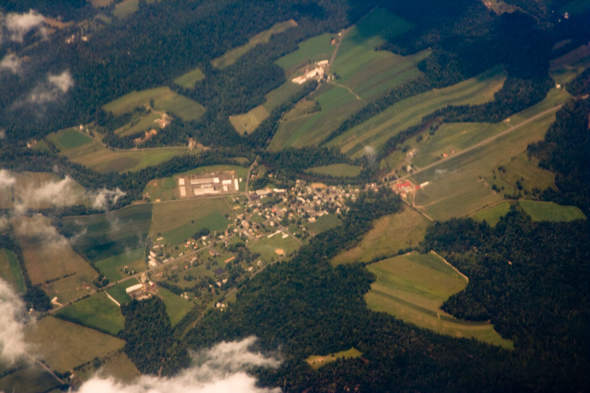
Elevation of Flint Hollow Rd, Honey Grove, PA, USA
Location: United States > Pennsylvania > Juniata County > Tuscarora Township > Honey Grove >
Longitude: -77.536345
Latitude: 40.439492
Elevation: 209m / 686feet
Barometric Pressure: 99KPa
Elevation Map:
Satellite Map:
Related Photos:
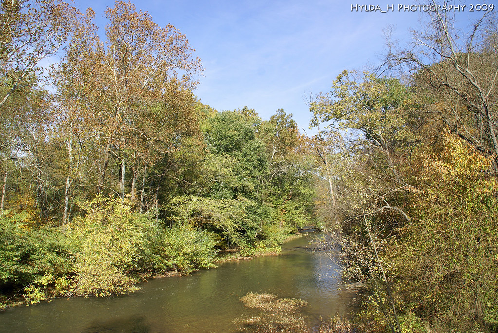
A River Runs Through It
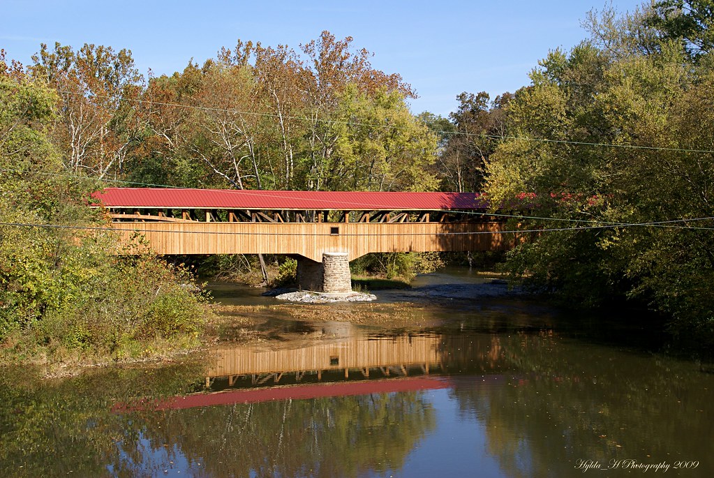
Academia Pomeroy Covered Bridge

Academia Pomeroy Covered Bridge
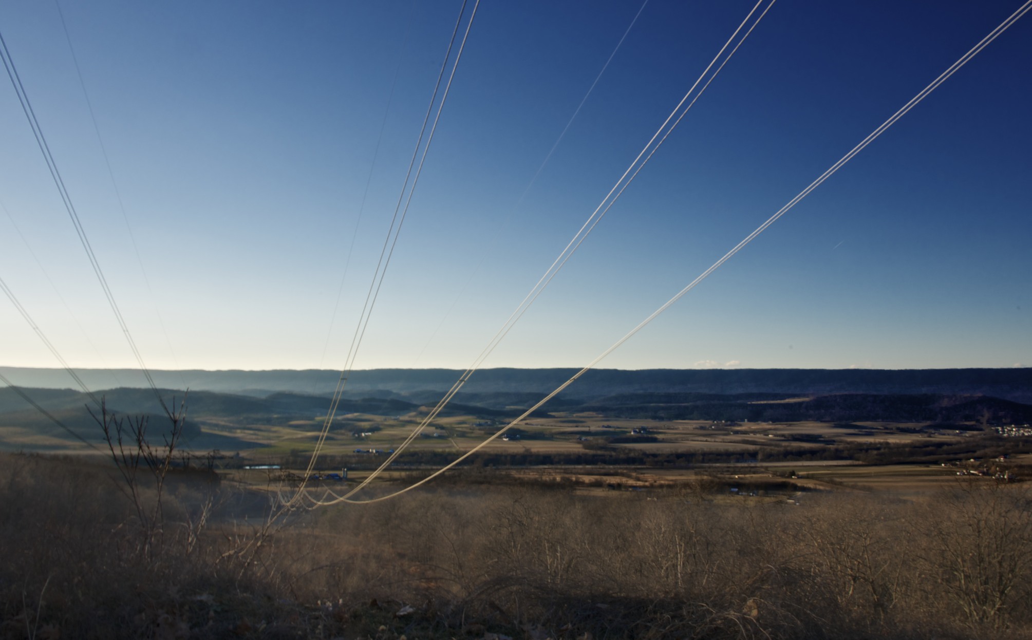
From atop a mountain

Lone oak: Perry County, Pennsylvania
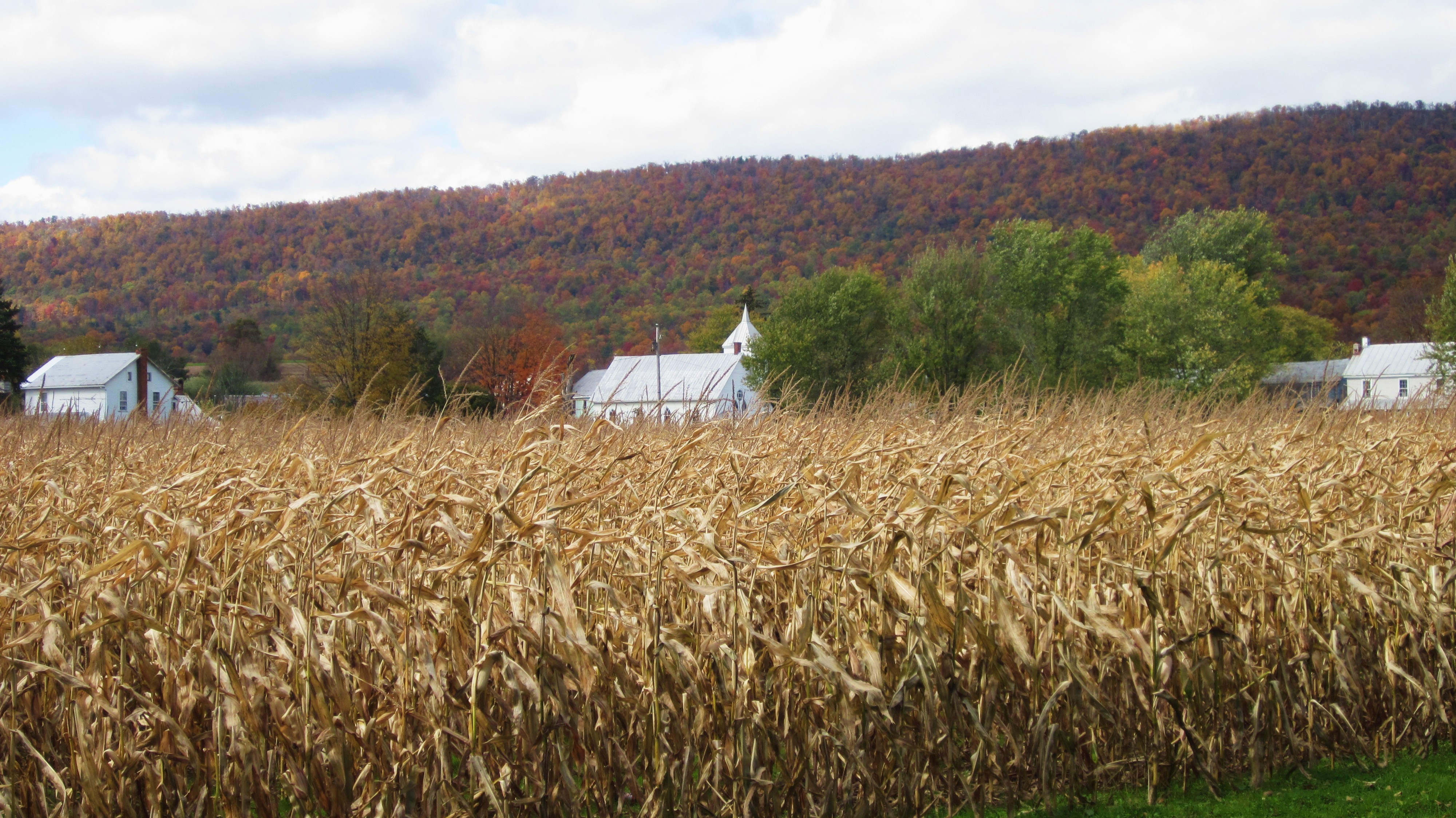
Corn, steeple, mountain, New Germantown, Pennsylvania

Autumn bales

The cows come home
CD932 East Waterford, PA
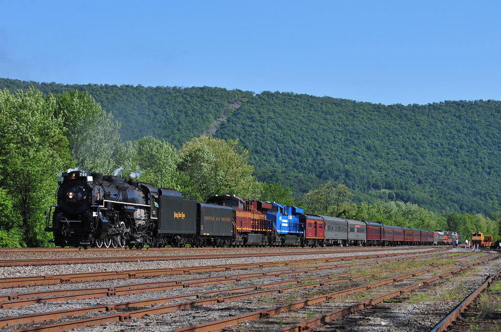
Loafing into Lewistown

Lewistown_May_2008 047

CD931 Utility Right-of-Way to West of East Waterford, PA
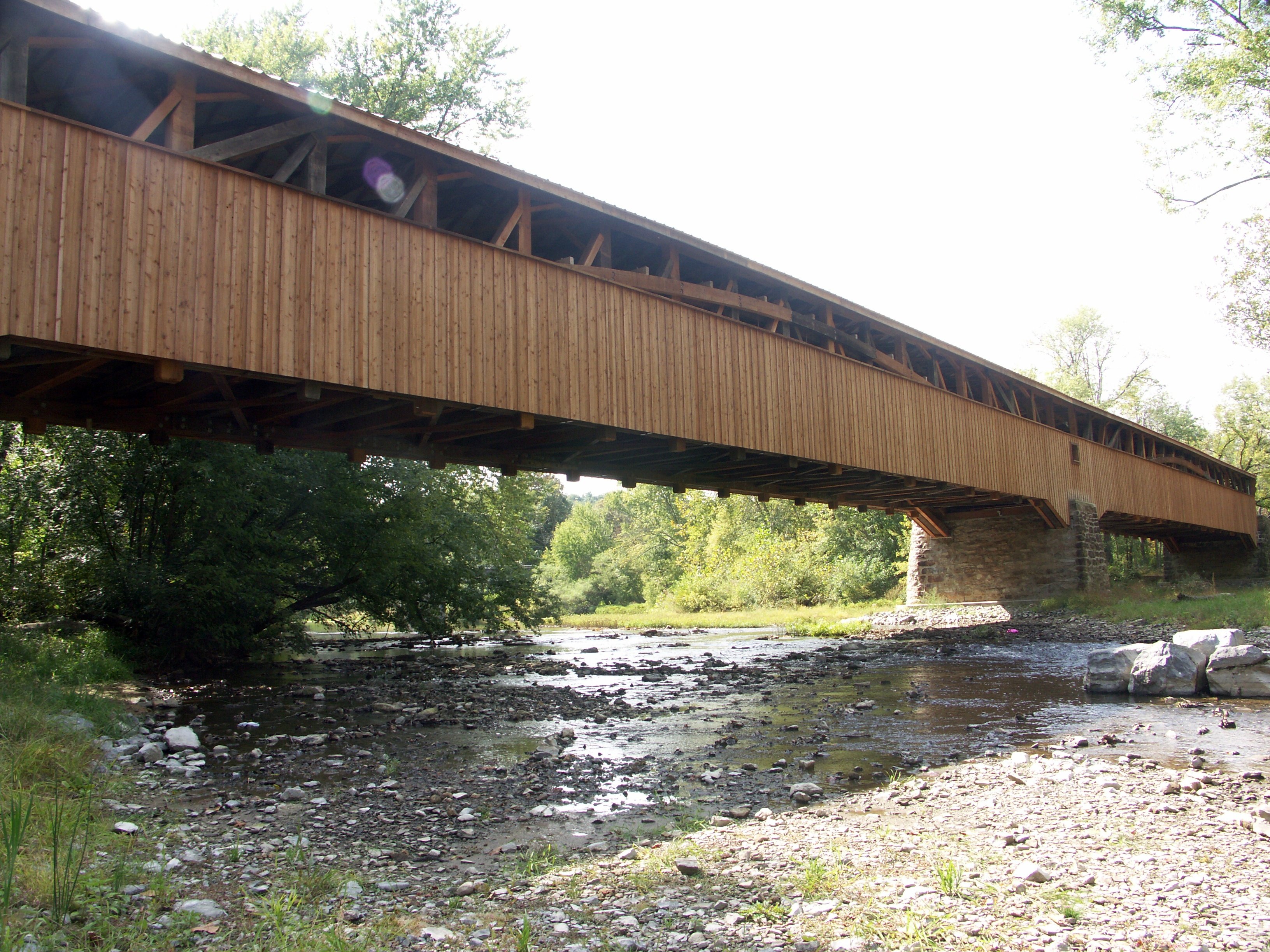
Academia-Pomeroy Covered Bridge

Pick a pumpkin
Topographic Map of Flint Hollow Rd, Honey Grove, PA, USA
Find elevation by address:

Places near Flint Hollow Rd, Honey Grove, PA, USA:
Spruce Hill Township
Jefferies Lane
PA-75, Port Royal, PA, USA
River Rd, Granville, PA, USA
Granville
10 Schmidt Ln
Granville Township
77 Laurel Rd
Turbett Township
Mifflin County Industrial Development
Juniata County
Lewistown
57 Longview Dr
909 Main St
Port Royal
12 1st St
12 1st St
42 1st St
Saville Township
223 Tuscarora Path
Recent Searches:
- Elevation of Corso Fratelli Cairoli, 35, Macerata MC, Italy
- Elevation of Tallevast Rd, Sarasota, FL, USA
- Elevation of 4th St E, Sonoma, CA, USA
- Elevation of Black Hollow Rd, Pennsdale, PA, USA
- Elevation of Oakland Ave, Williamsport, PA, USA
- Elevation of Pedrógão Grande, Portugal
- Elevation of Klee Dr, Martinsburg, WV, USA
- Elevation of Via Roma, Pieranica CR, Italy
- Elevation of Tavkvetili Mountain, Georgia
- Elevation of Hartfords Bluff Cir, Mt Pleasant, SC, USA