Elevation of Port Royal, PA, USA
Location: United States > Pennsylvania > Juniata County > Turbett Township >
Longitude: -77.385544
Latitude: 40.533412
Elevation: 144m / 472feet
Barometric Pressure: 100KPa
Elevation Map:
Satellite Map:
Related Photos:

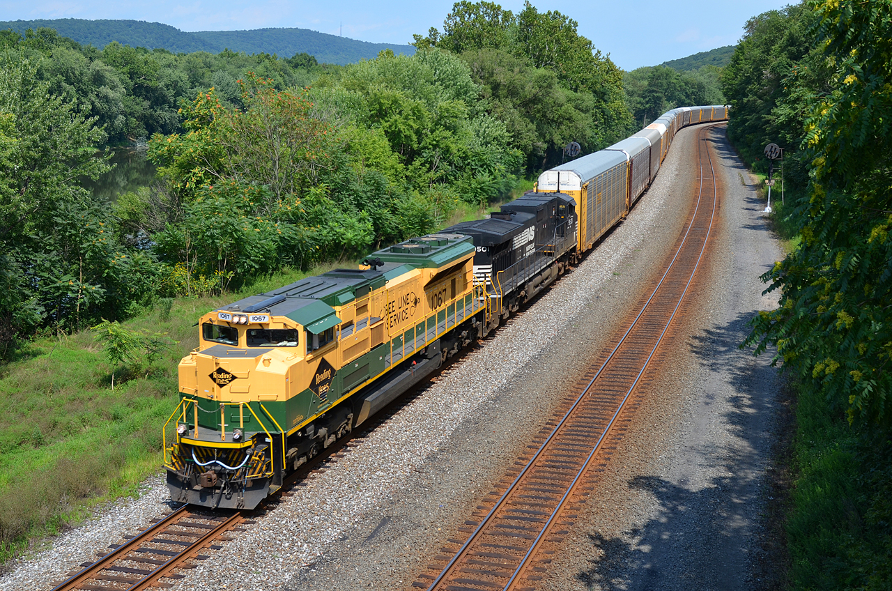
RDG SD70ACe-1067, NS SD70ACe-1126 W/B 777 at Thompsontown Station, PA.
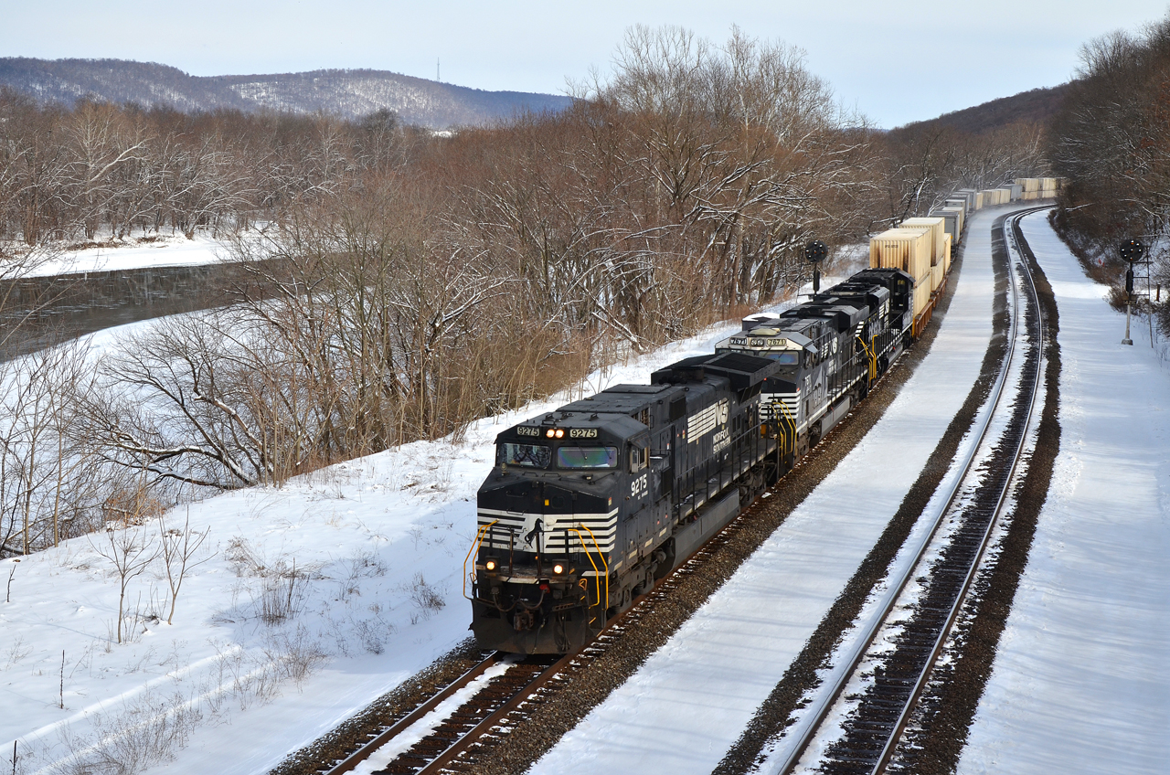
NS C40-9W-9275 W/B 21-E at Thompsontown Station, PA.
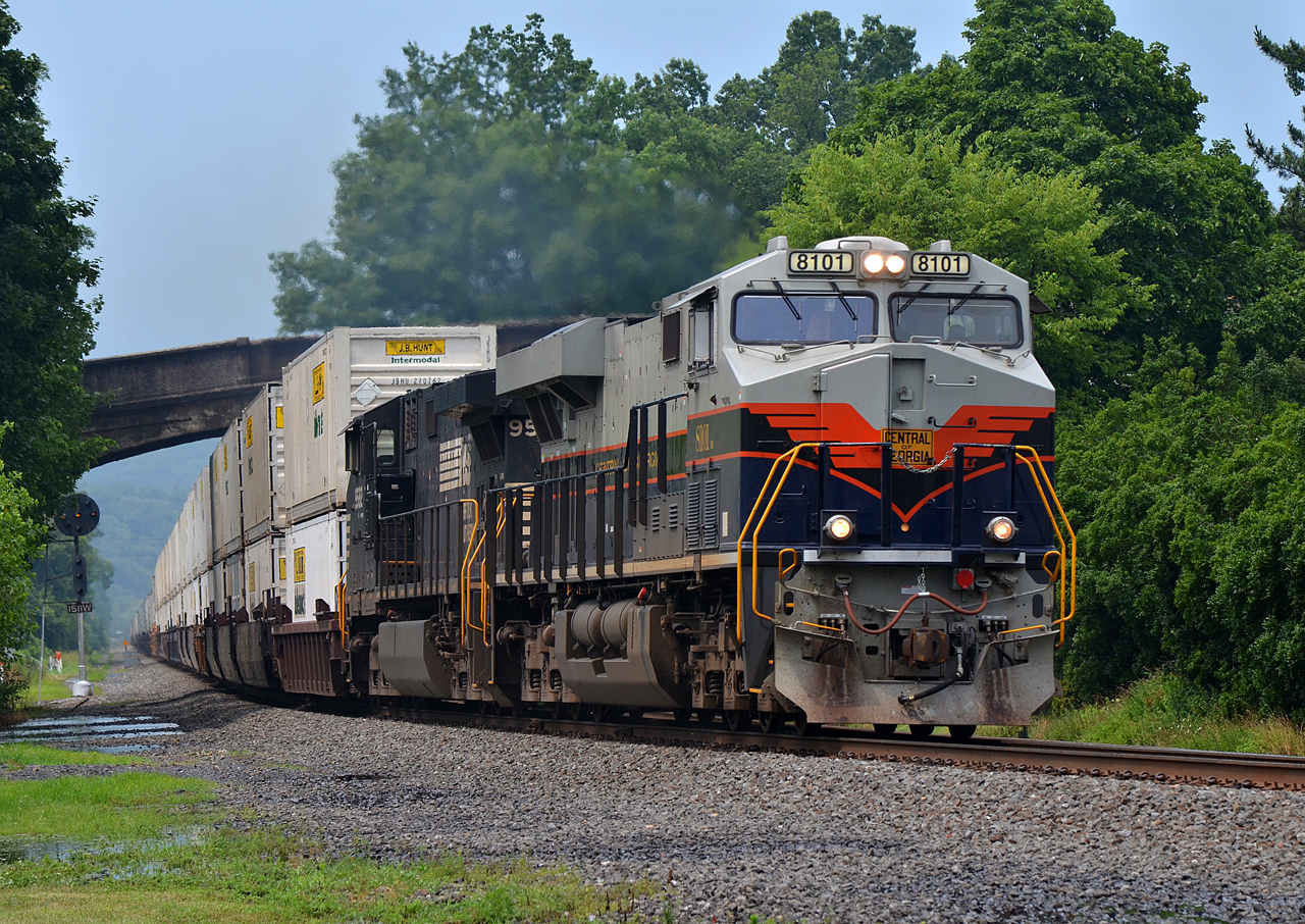
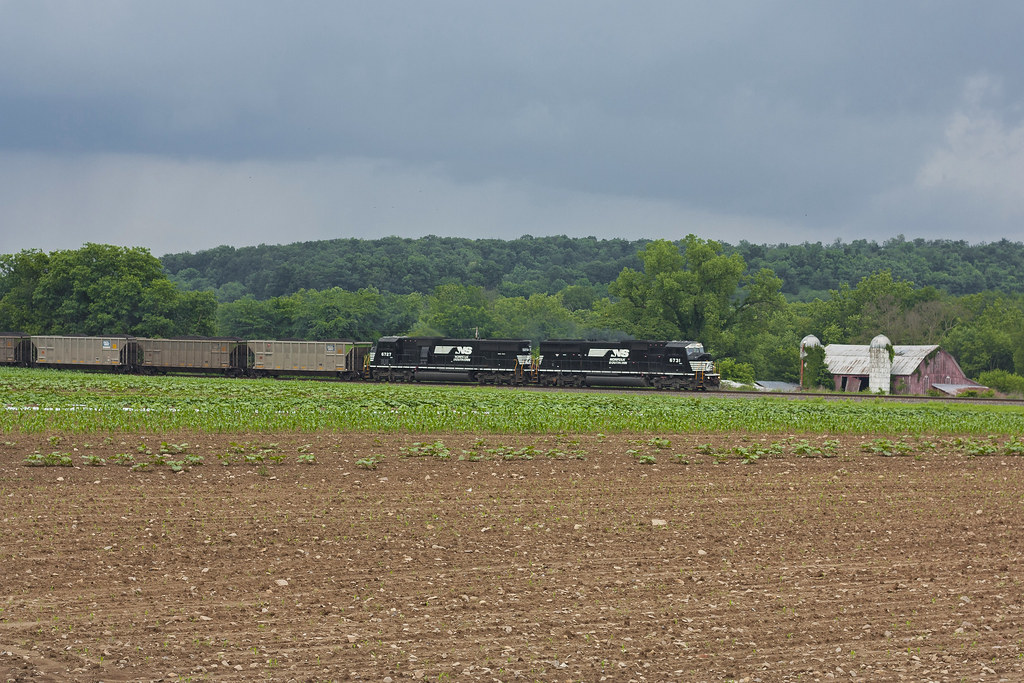
C of G ES44AC-8101, NS C40-9W-9582 E/B 20W at Port Royal, PA
WIDE VIEW. RDG-NS SD70ACe-1067 WB 11J at Thompsontown Station, PA
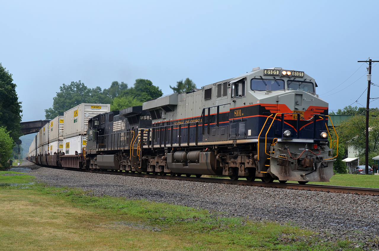
C of G ES44AC-8101, NS C40-9W-9582 E/B 20W at Port Royal, PA
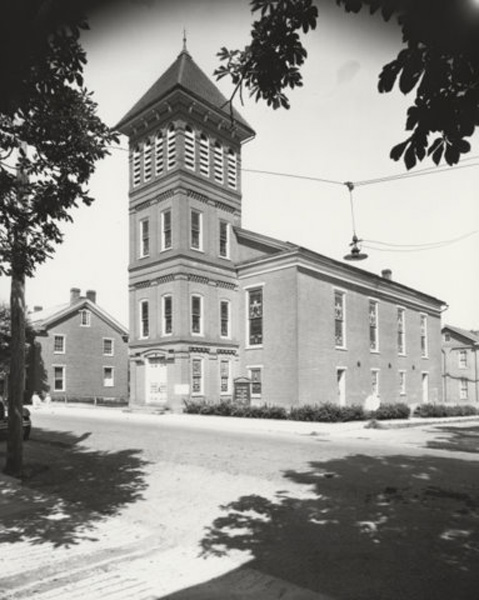
Port Royal (Pa.) Lutheran Church: exterior view (undated)

Academia Pomeroy Covered Bridge
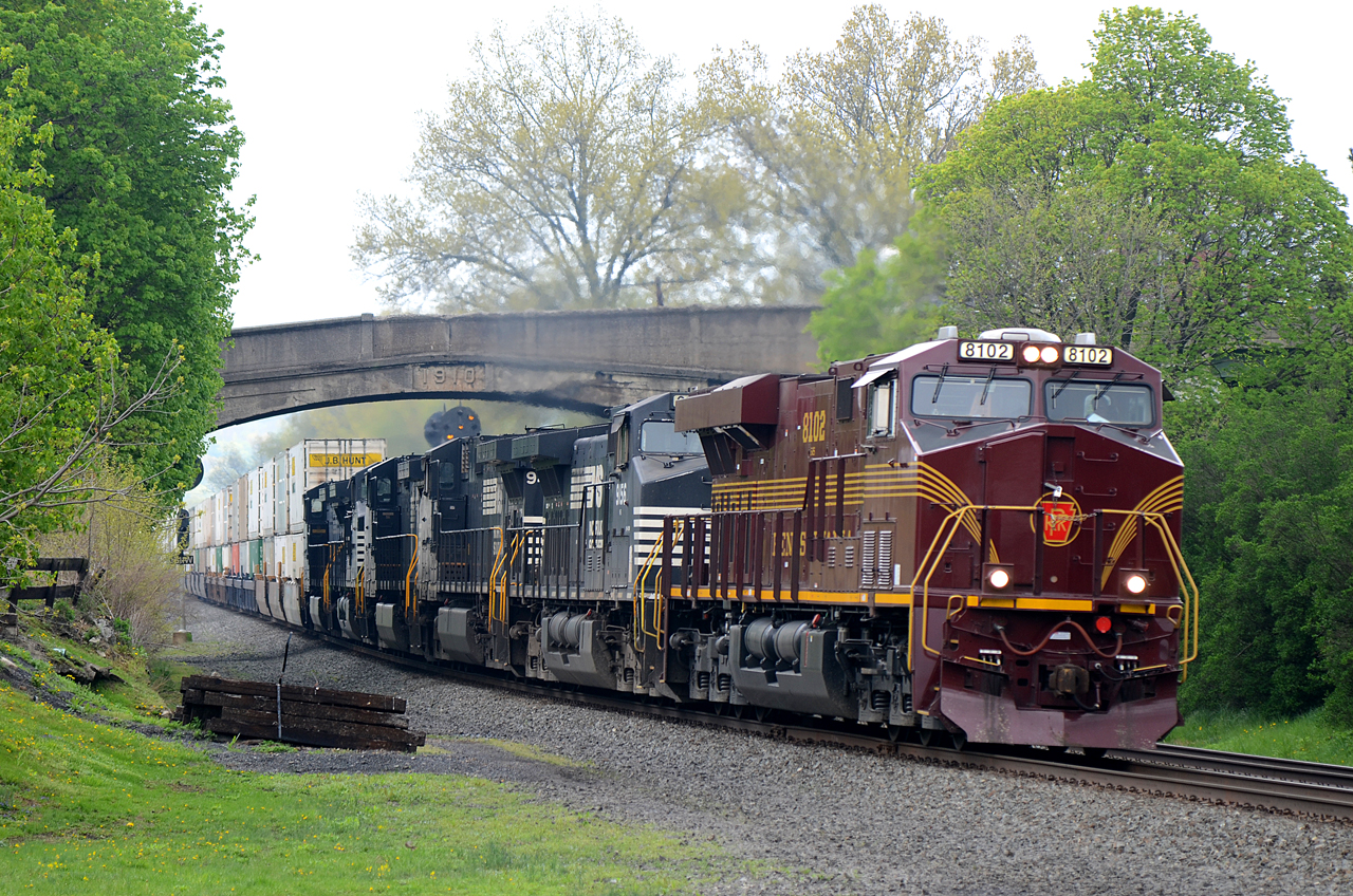
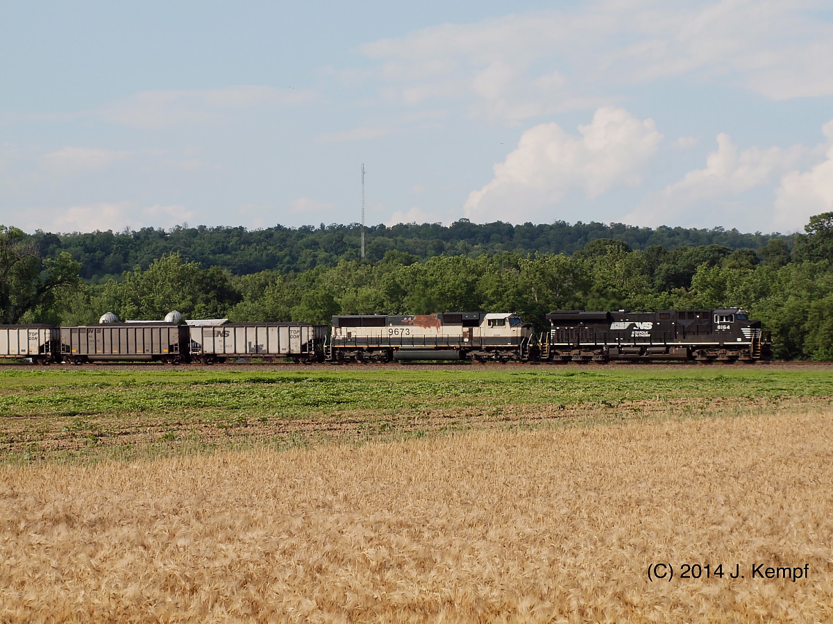
PRR-NS ES44AC-8102 E/B 26T at Port Royal, PA
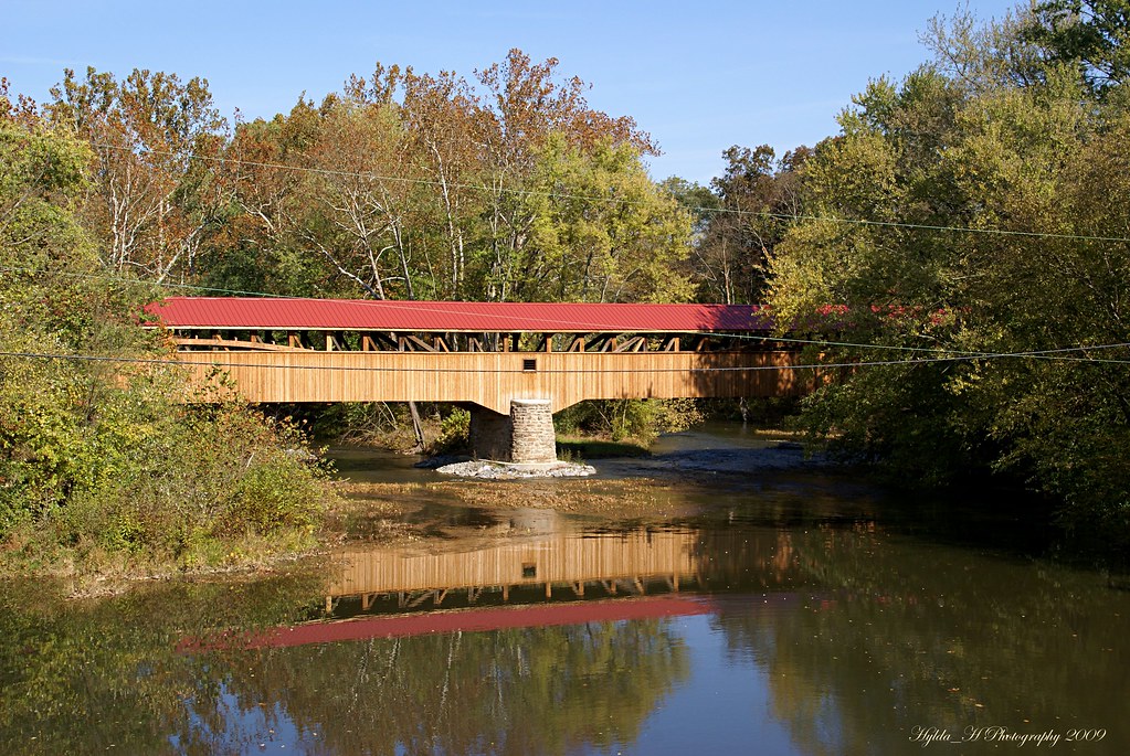
Academia Pomeroy Covered Bridge
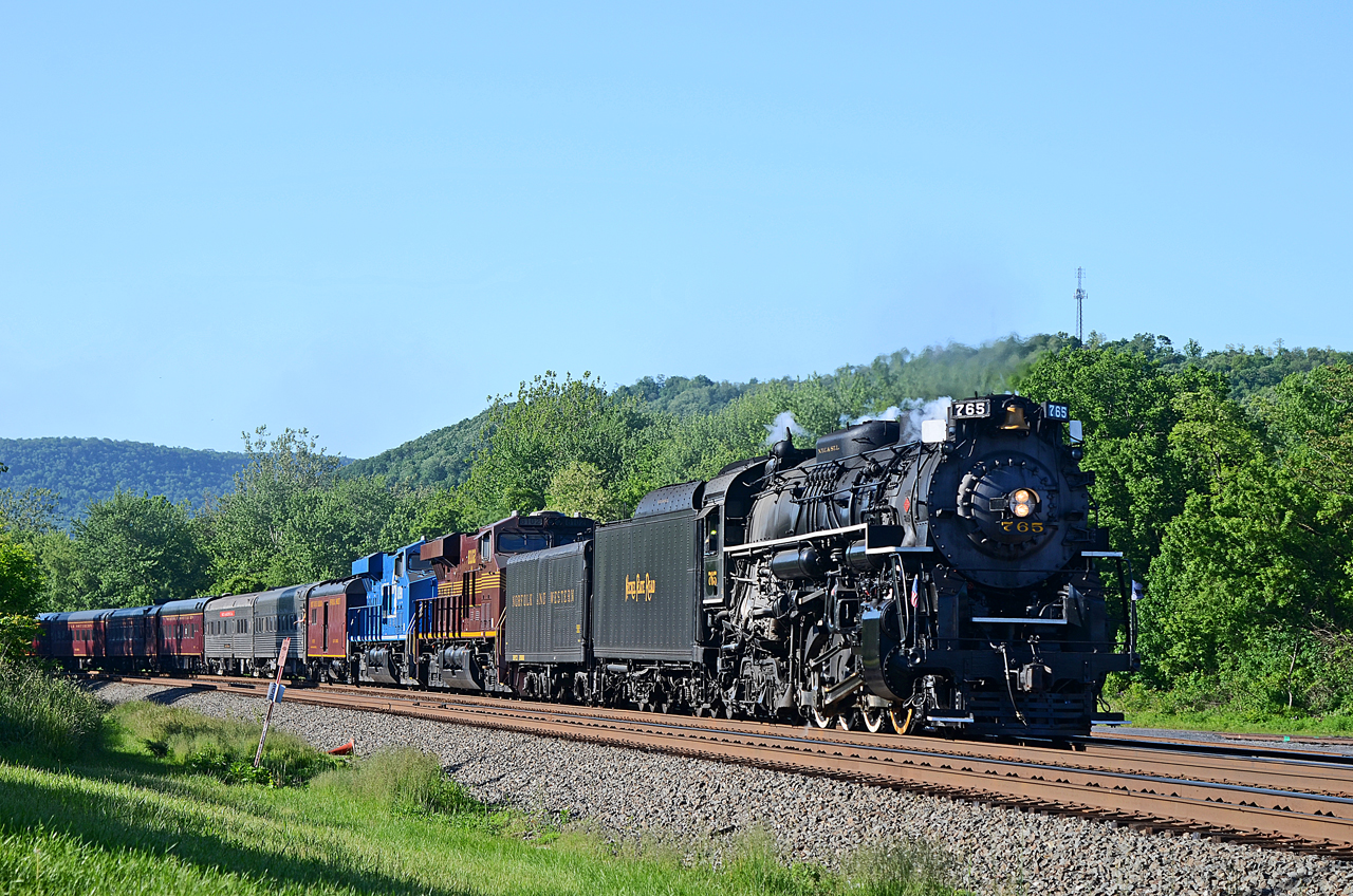
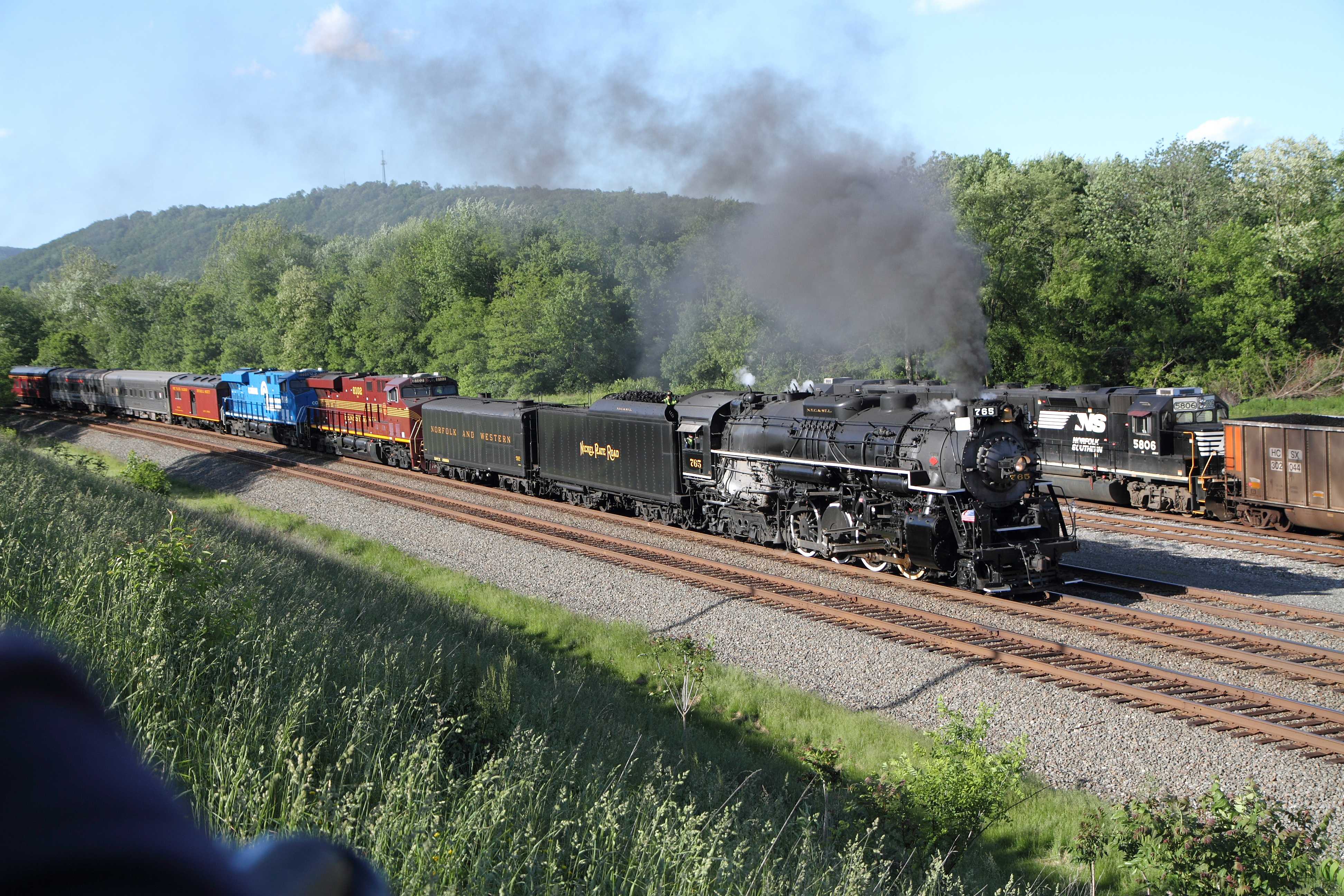
NKP 2-8-4 765, PRR ES44AC-8102, CR ES44AC-8098 E/B 061 at Mifflin, PA
1980 11-30 3:10PM CR SD45-6136 E/B, Mexico, PA.
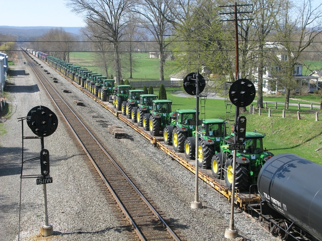
DIFFERENT VIEWS AT PORT ROYAL. NS SD70ACe-1082 E/B 20T at Port Royal, PA
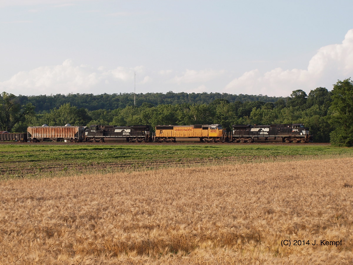
NS C40-9W-9839, 8963 E/B 20W at Mexico, PA
Pennsylvania: Mifflin: Pennsylvania Railroad Station
Three Wise Guys

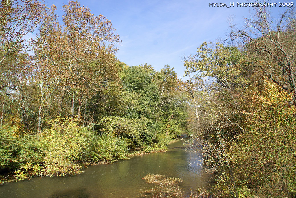
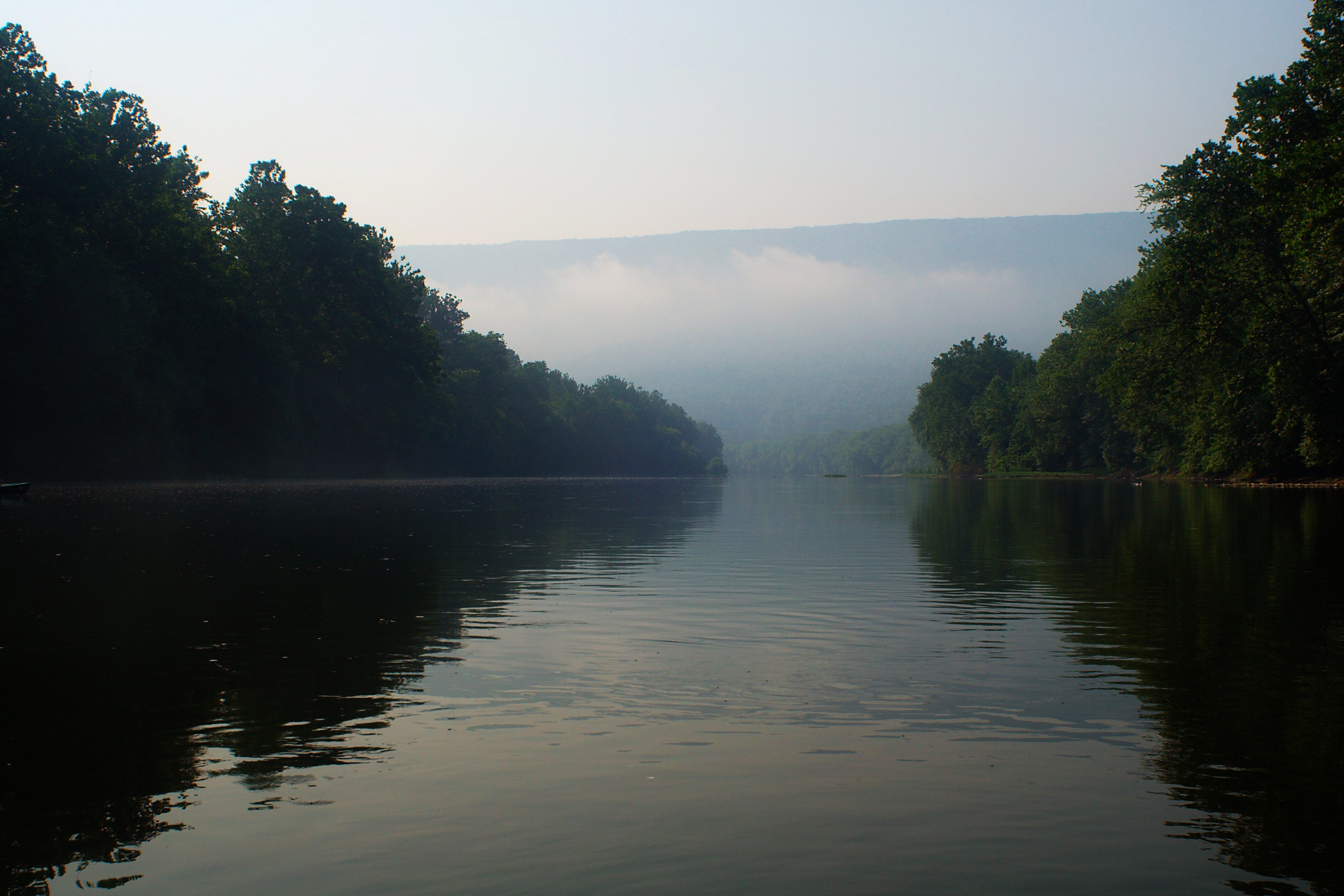
Juniata River
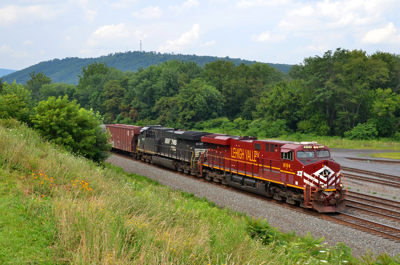
2015 07-26 1536 LV ES44AC-8104 E/B 66Z at Mifflin, PA
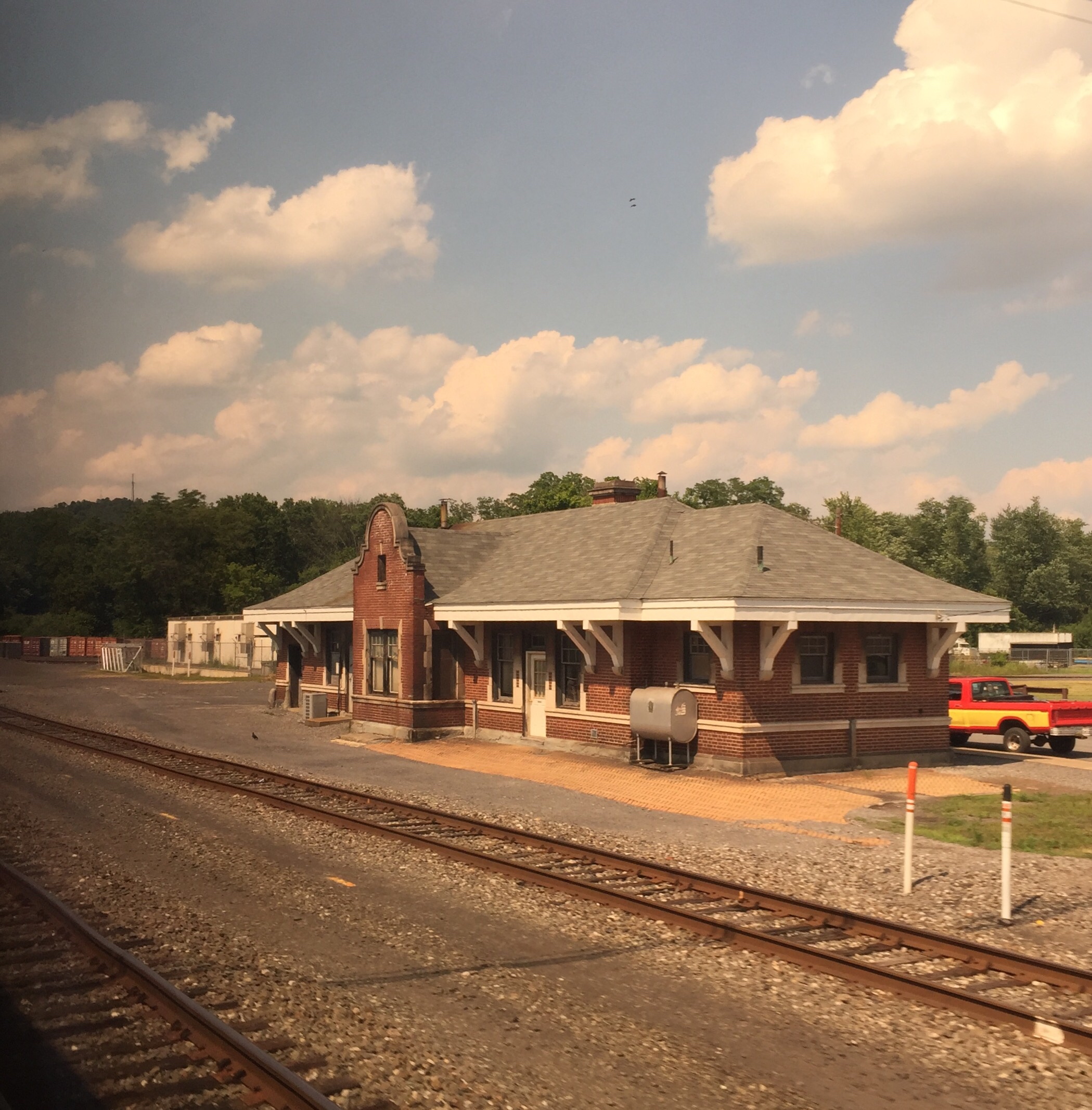
Walker PA: Former Pennsylvania Railroad station
Miffed in Mifflin
A River Runs Through It

View upstream from the Stone Arch Bridge
#trains #travel

Lookin' towards Lickin' Crick
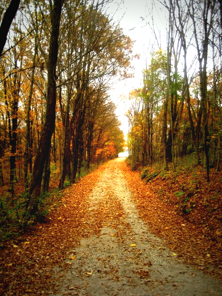
the road home

Jimsonweed Pod
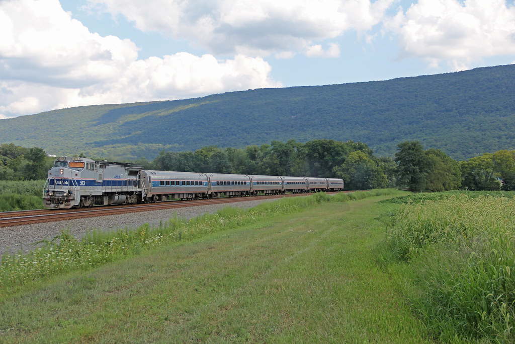
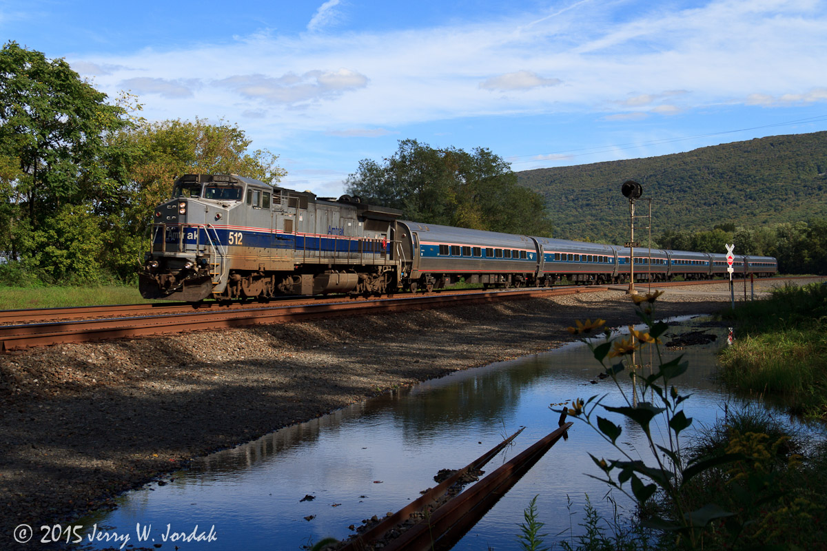
Amtrak at Mexico

Near McAlisterville, Pa.

The cows come home
NS 568. June 22, 2014
NS 16N. June 22, 2014
Juniata Morning
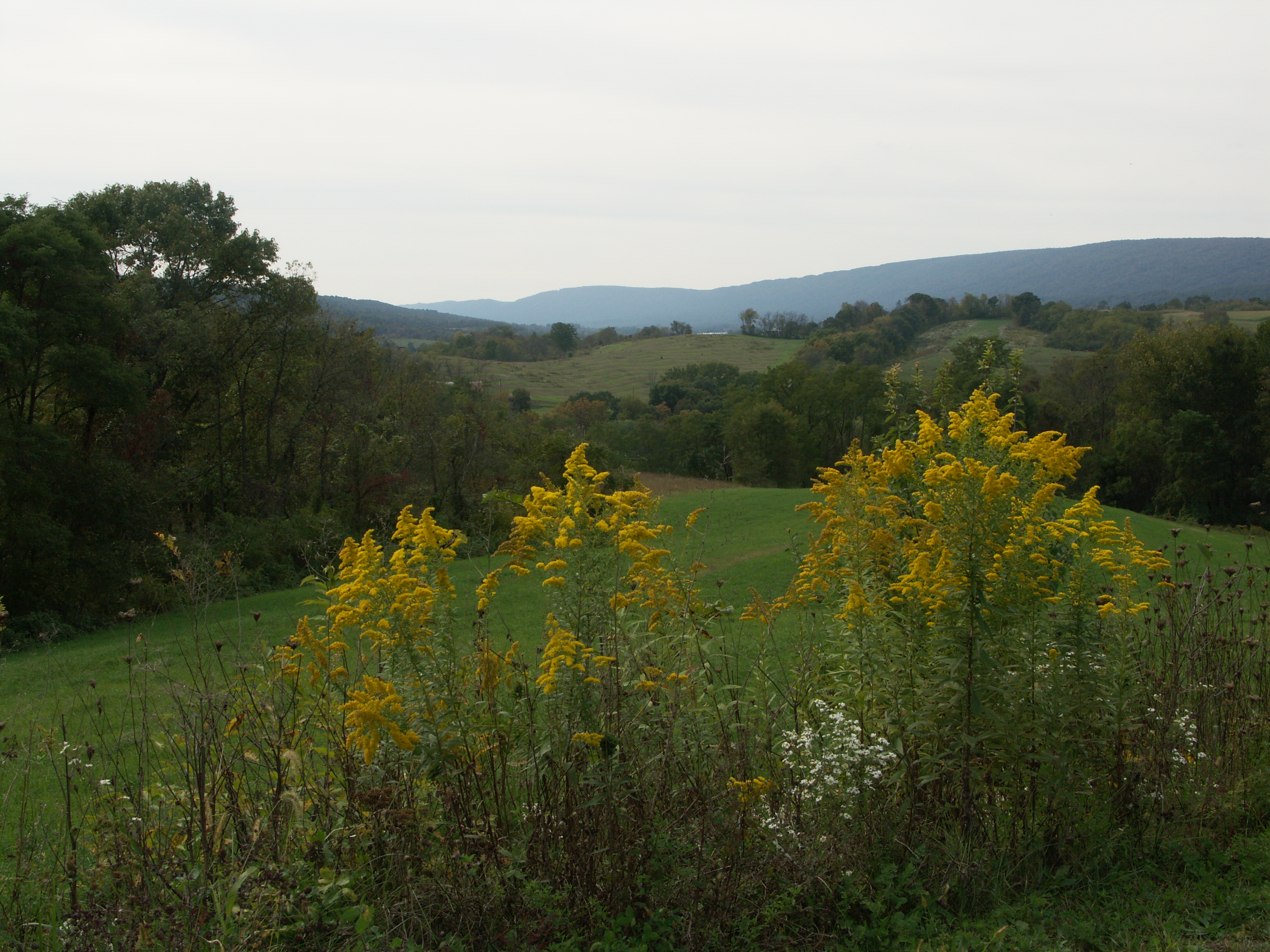
Fall landscape, Juniata County
Stormy Skies
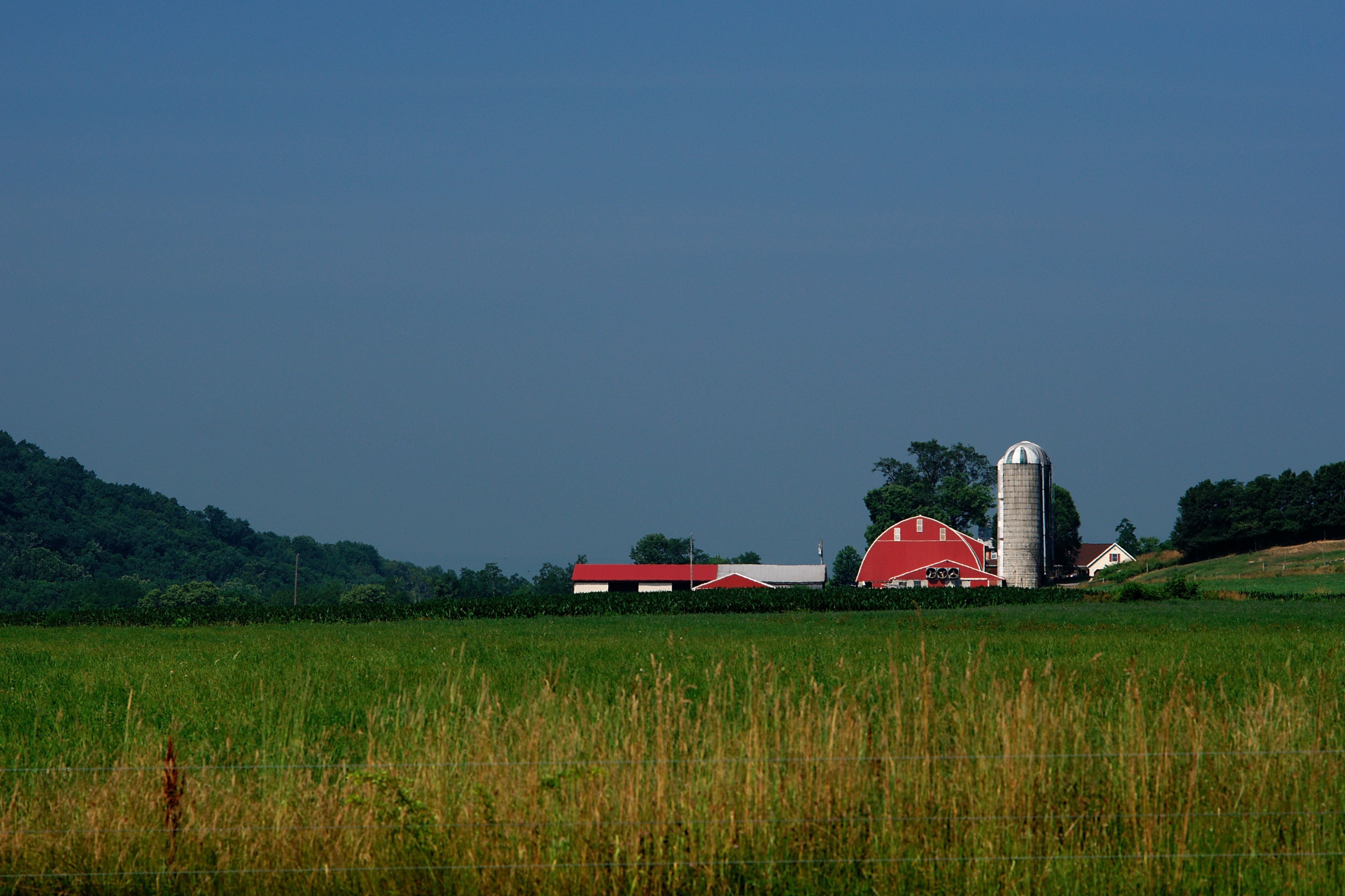
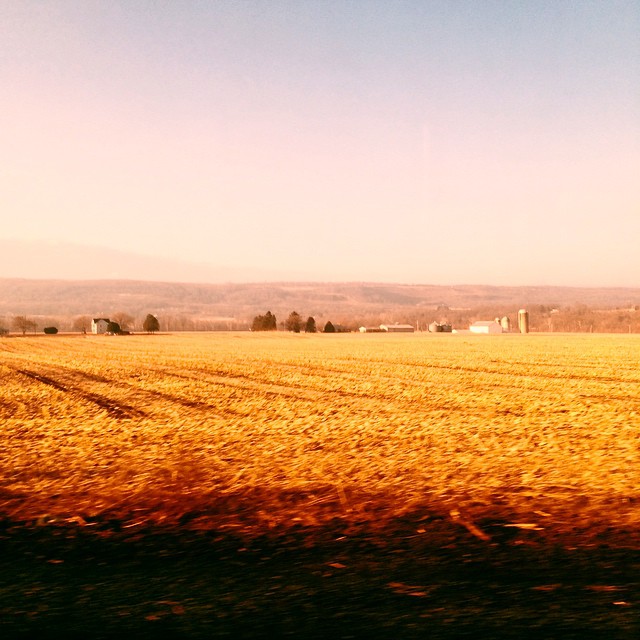
Farm in the Valley
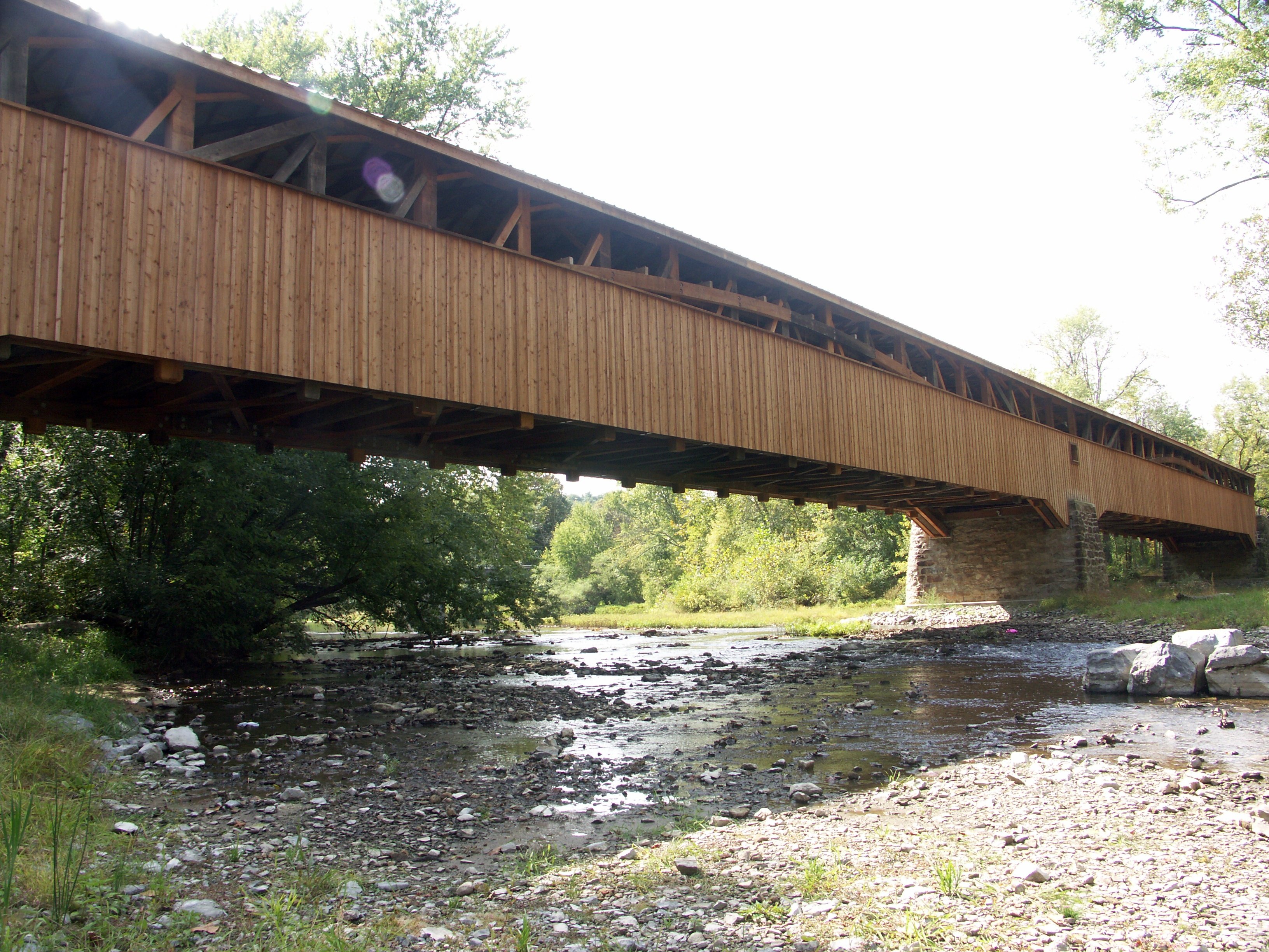
Academia-Pomeroy Covered Bridge
Lewistown Narrows

NS 66J. June 21, 2013
Who needs you, I've got Mexico
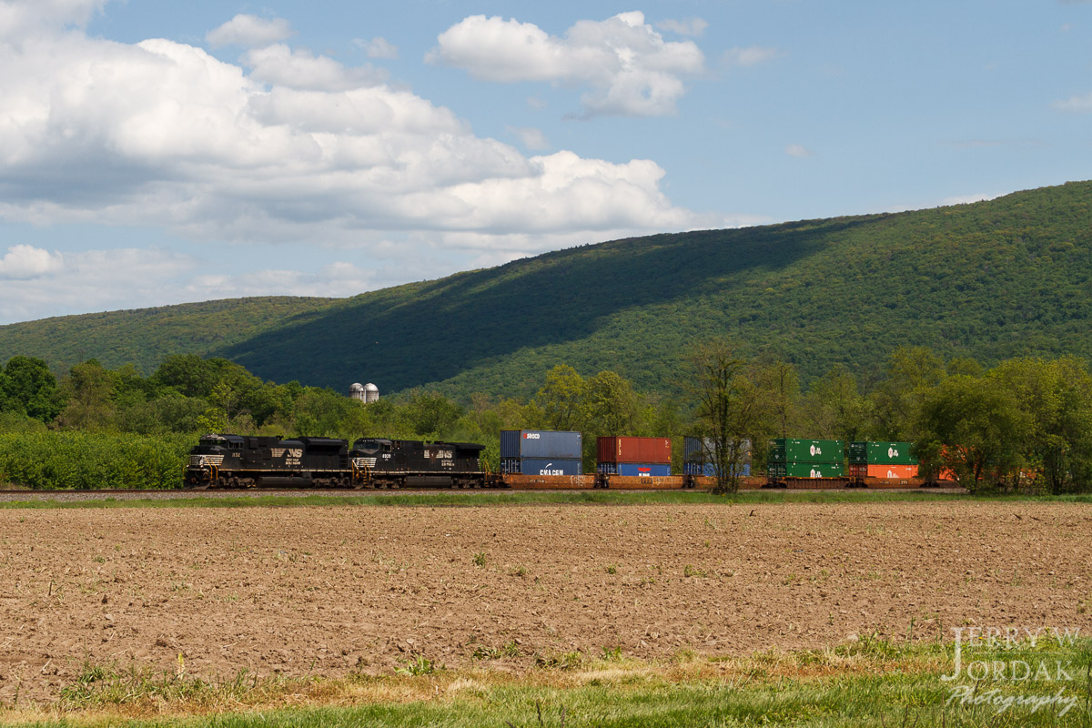
Stacks West

Last Stand
Topographic Map of Port Royal, PA, USA
Find elevation by address:

Places near Port Royal, PA, USA:
12 1st St
12 1st St
42 1st St
909 Main St
57 Longview Dr
Mifflintown
Turbett Township
Mifflin
418 Crabapple Ln
Juniata County
110 Licking St
Pame Construction Inc
495 Promise Land Dr
Raccoon Valley Road, Ickesburg, PA, USA
Ickesburg
PA-75, Port Royal, PA, USA
223 Tuscarora Path
Saville Township
Spruce Hill Township
Jefferies Lane
Recent Searches:
- Elevation of Chesaw Rd, Oroville, WA, USA
- Elevation of N, Mt Pleasant, UT, USA
- Elevation of 6 Rue Jules Ferry, Beausoleil, France
- Elevation of Sattva Horizon, 4JC6+G9P, Vinayak Nagar, Kattigenahalli, Bengaluru, Karnataka, India
- Elevation of Great Brook Sports, Gold Star Hwy, Groton, CT, USA
- Elevation of 10 Mountain Laurels Dr, Nashua, NH, USA
- Elevation of 16 Gilboa Ln, Nashua, NH, USA
- Elevation of Laurel Rd, Townsend, TN, USA
- Elevation of 3 Nestling Wood Dr, Long Valley, NJ, USA
- Elevation of Ilungu, Tanzania