Elevation of Flat Creek Rd, Gilboa, NY, USA
Location: United States > New York > Schoharie County > Gilboa > Gilboa >
Longitude: -74.386754
Latitude: 42.4335687
Elevation: 534m / 1752feet
Barometric Pressure: 95KPa
Elevation Map:
Satellite Map:
Related Photos:

"One of the risks of appearing in public is the likelihood of being photographed."

Huntersfield Mountain
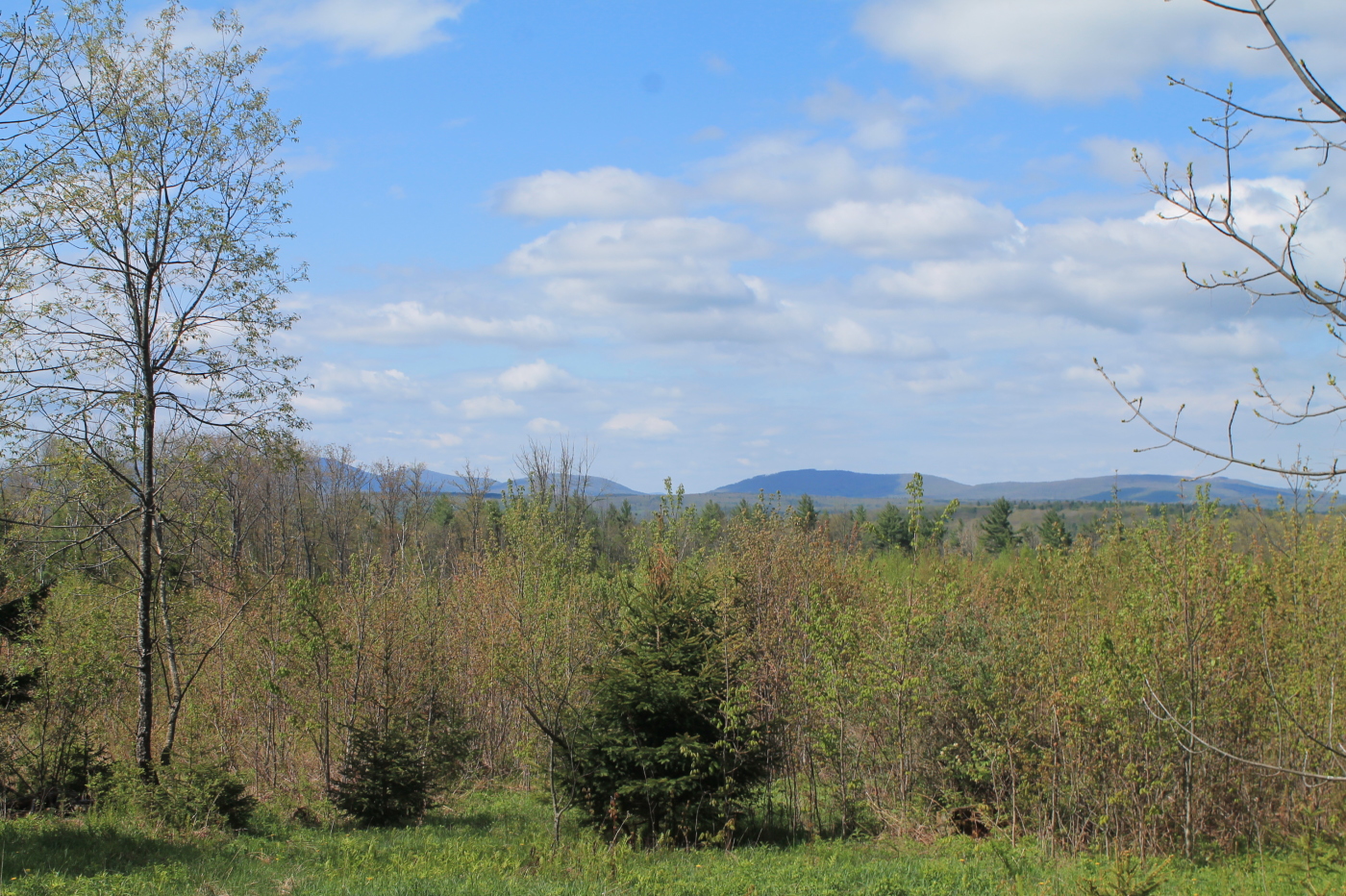
Another View from the Clear Cut

Minekill Falls

September 4 (247/365)

A different kind of Flyer.

South Mountain Clear Cut

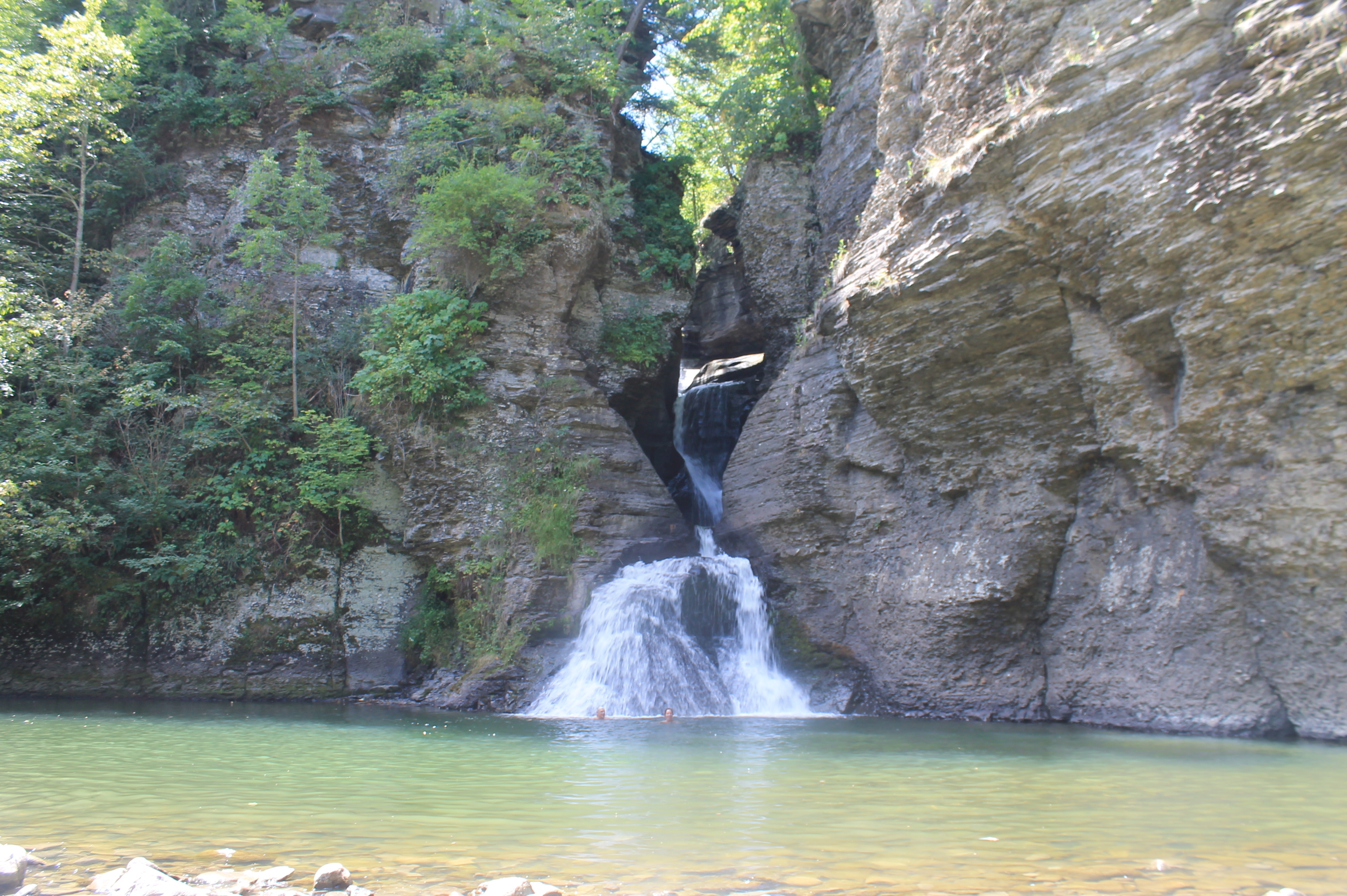
Little Known View of Mine Kill Falls

View Towards Clearing

The Aspiring Photographers
View of Gorge Walls

View from Lean-To

View Into Valley

Reservior View

View from the overlook

View of Ashland Pinacle

View from Long Path section 28

View from Summit of Huntersfield Mountain

View from Summit of Huntersfield Mountain

From the top

Schoharie-07

Blenheim Covered Bridge

Cloudy Day

Small Pond
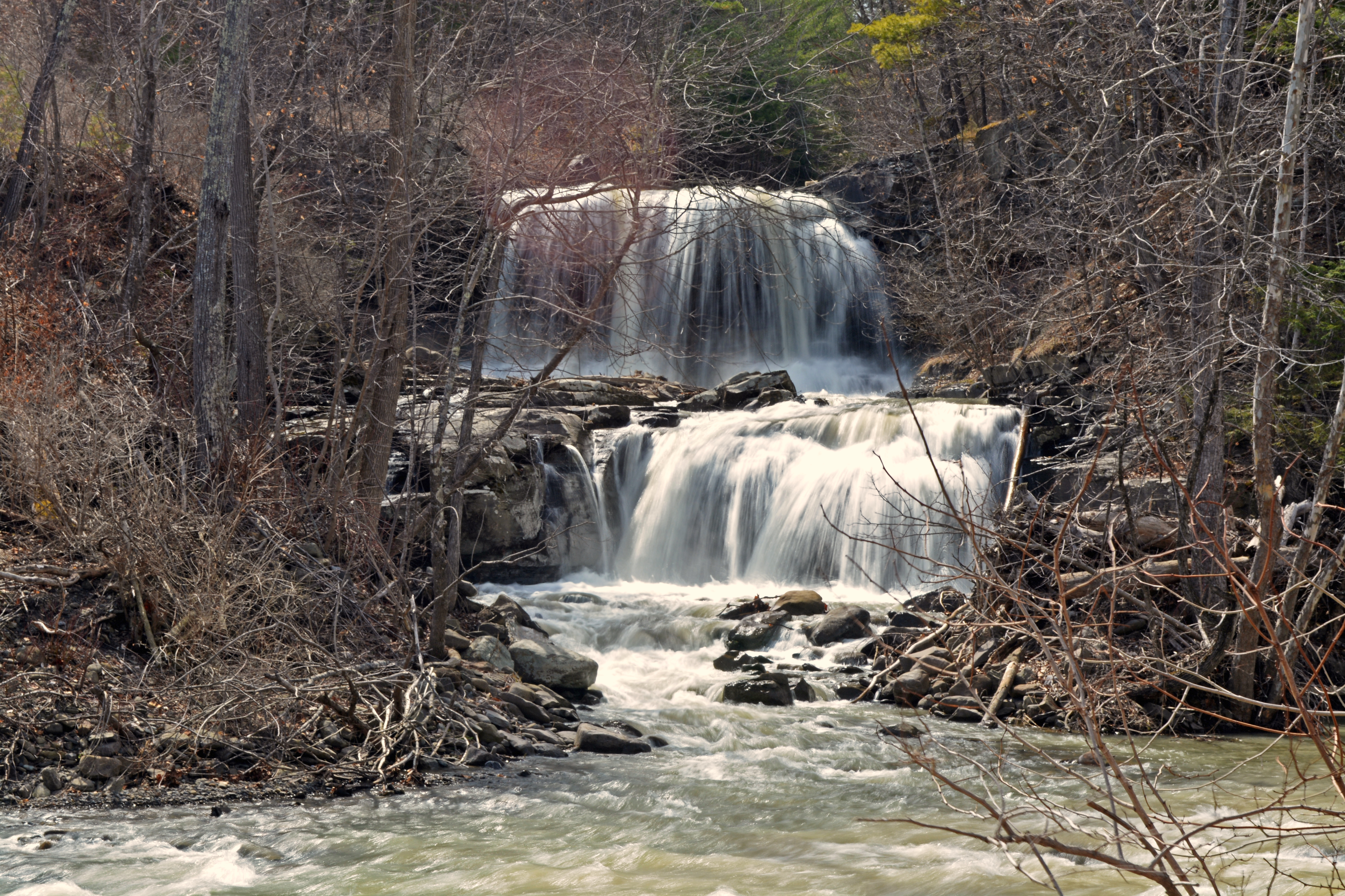
Mill Creek Falls

Middleburgh,NY

Middleburgh,NY

Middleburgh, NY

Towards the Clear Cuts Scrubland

Looking Glass Pond is Full !

Gilboa, NY

Through the trees

A Tree

Snow Day

Gone Fishing

Country Charm

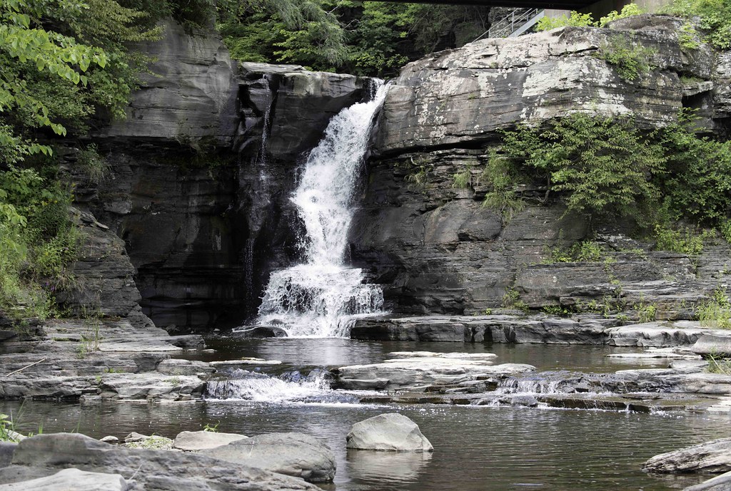
Mine Kill Falls
Hardenburgh Falls

Manor Kill Falls
Topographic Map of Flat Creek Rd, Gilboa, NY, USA
Find elevation by address:

Places near Flat Creek Rd, Gilboa, NY, USA:
448 Spencer St
202 Guinea Rd
Bull Hill Road
Harrington Road
Hall Road
534 Hubbard Rd
103 Hickory Tree Rd
198 Ottis Hall Rd
Bremer Rd, Gilboa, NY, USA
Brand Road
483 Brand Rd
Conesville
Bear Kill Road
Broome Center Road
Hubbard Road & Bear Kill Road
113 Bull Hill Rd
NY-V, Gilboa, NY, USA
Gilboa
North Blenheim
Conesville
Recent Searches:
- Elevation of 10 Mountain Laurels Dr, Nashua, NH, USA
- Elevation of 16 Gilboa Ln, Nashua, NH, USA
- Elevation of Laurel Rd, Townsend, TN, USA
- Elevation of 3 Nestling Wood Dr, Long Valley, NJ, USA
- Elevation of Ilungu, Tanzania
- Elevation of Yellow Springs Road, Yellow Springs Rd, Chester Springs, PA, USA
- Elevation of Rēzekne Municipality, Latvia
- Elevation of Plikpūrmaļi, Vērēmi Parish, Rēzekne Municipality, LV-, Latvia
- Elevation of 2 Henschke Ct, Caboolture QLD, Australia
- Elevation of Redondo Ave, Long Beach, CA, USA