Elevation of Hubbard Rd, Gilboa, NY, USA
Location: United States > New York > Schoharie County > Gilboa > Gilboa >
Longitude: -74.352797
Latitude: 42.439784
Elevation: 634m / 2080feet
Barometric Pressure: 94KPa
Elevation Map:
Satellite Map:
Related Photos:

"One of the risks of appearing in public is the likelihood of being photographed."
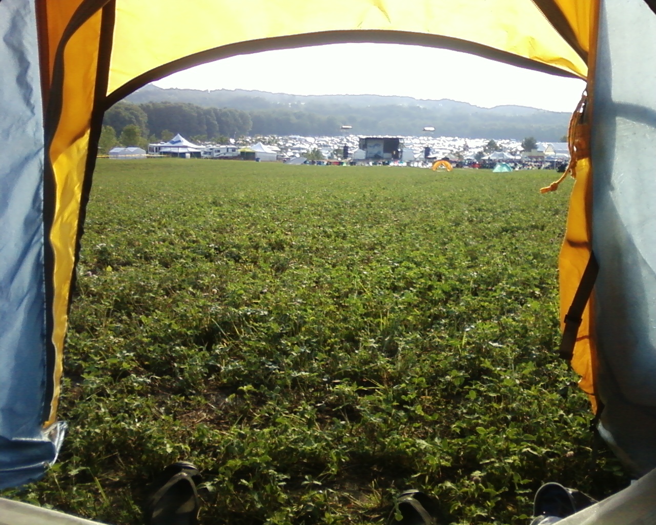
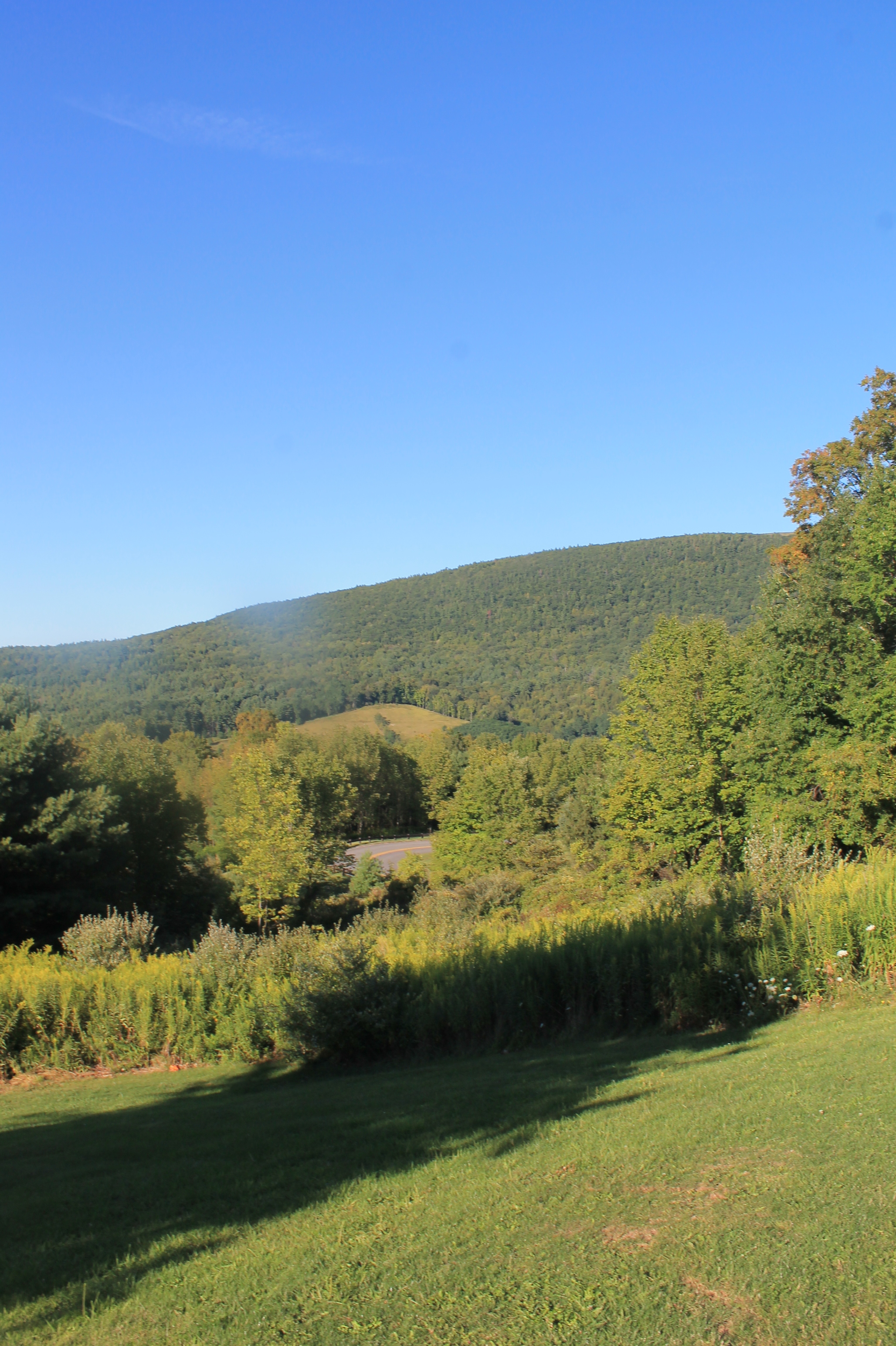
My View
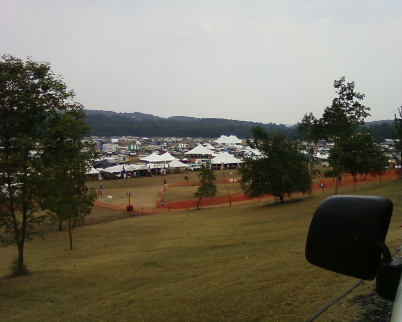
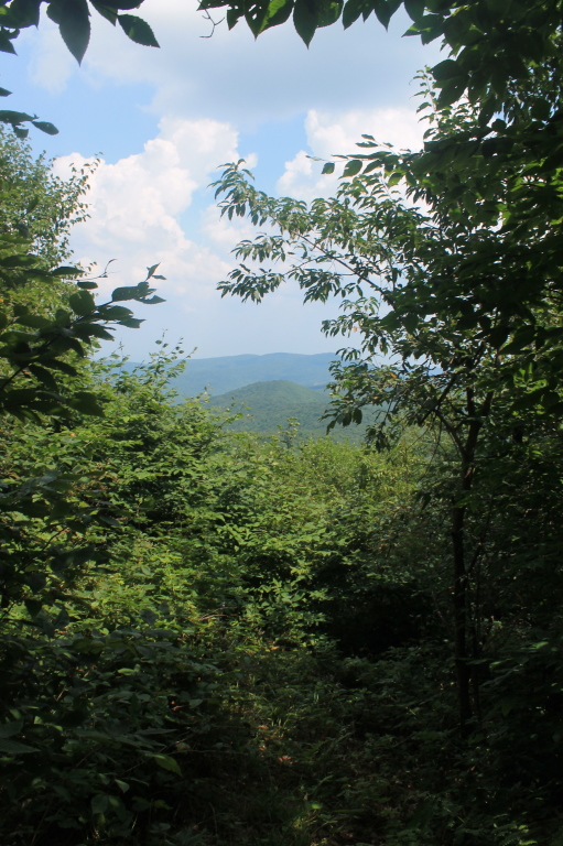
Last view
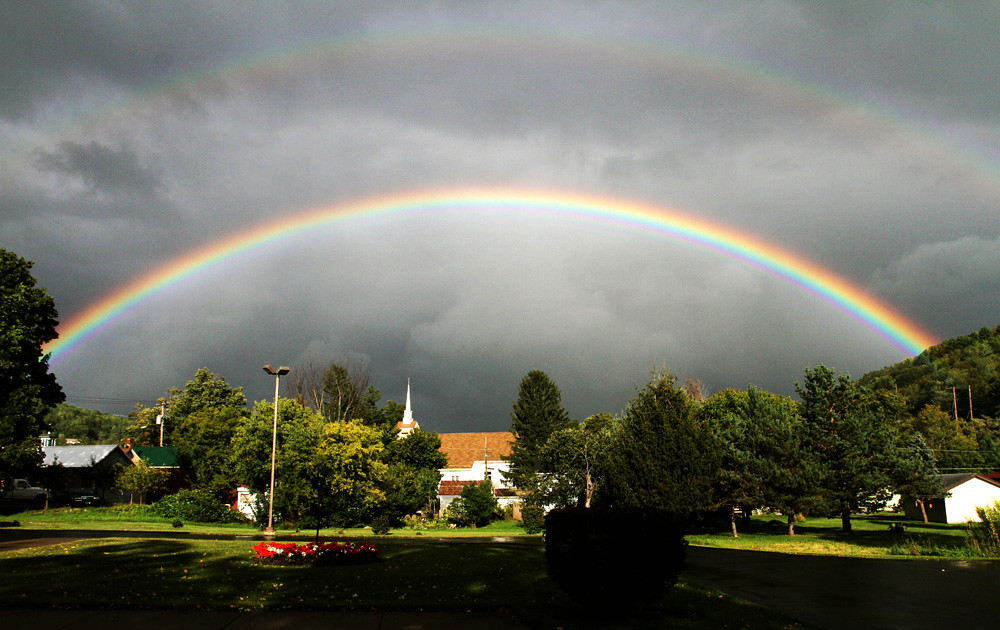
September 4 (247/365)

Mine Kill State Park

Grand Gorge, NY 20031014 076 view from New York State Route 30

View of Gorge Walls

Little Known View of Mine Kill Falls

Grand Gorge, NY 20031014 075 view from New York State Route 30

Mine Kill State Park
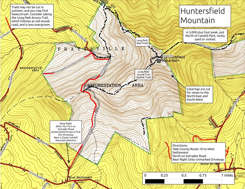
Huntersfield Mountain
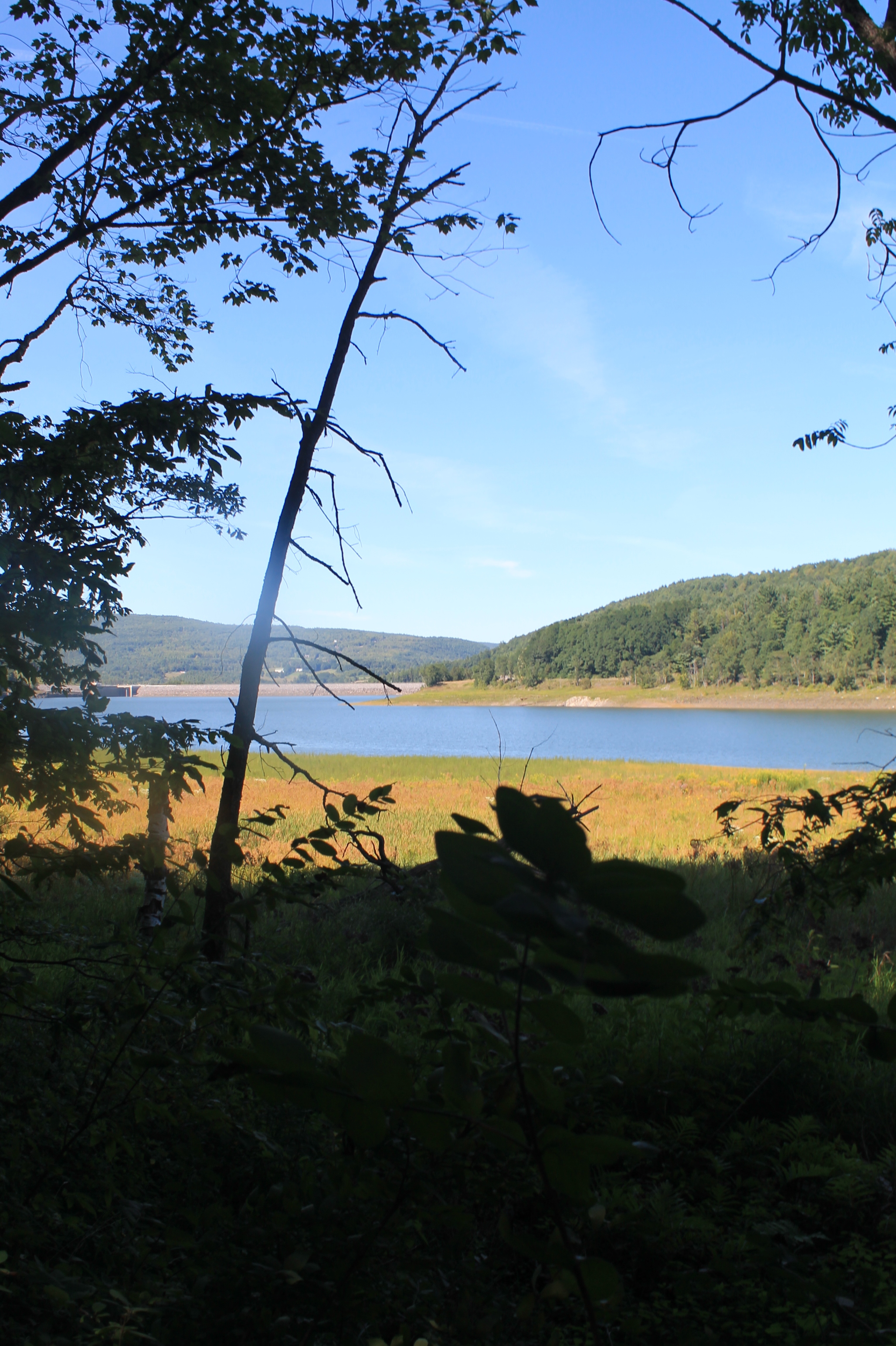
Reservior View
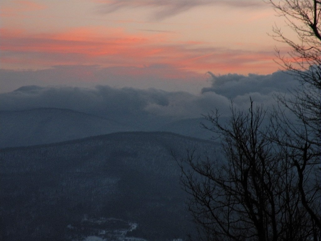
View from Summit of Huntersfield Mountain
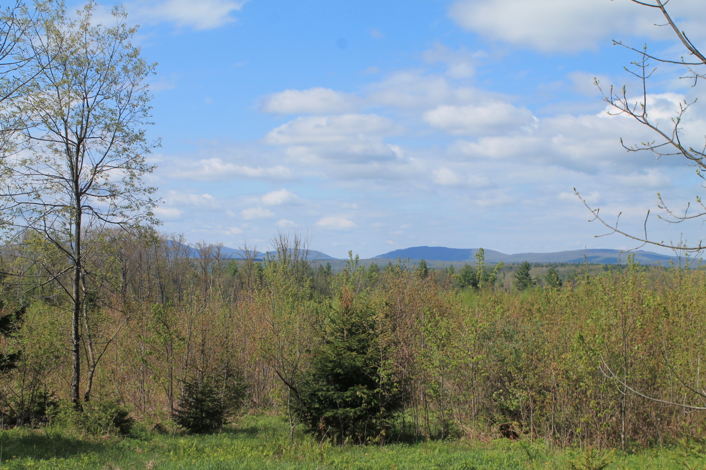
Another View from the Clear Cut
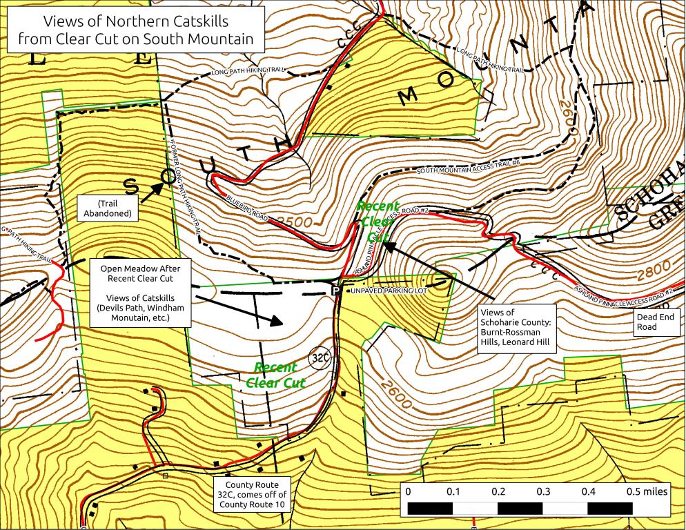
South Mountain Clear Cut
View Into Valley
View of Ashland Pinacle

View Towards Clearing
View from Summit of Huntersfield Mountain
From the top

View from the overlook
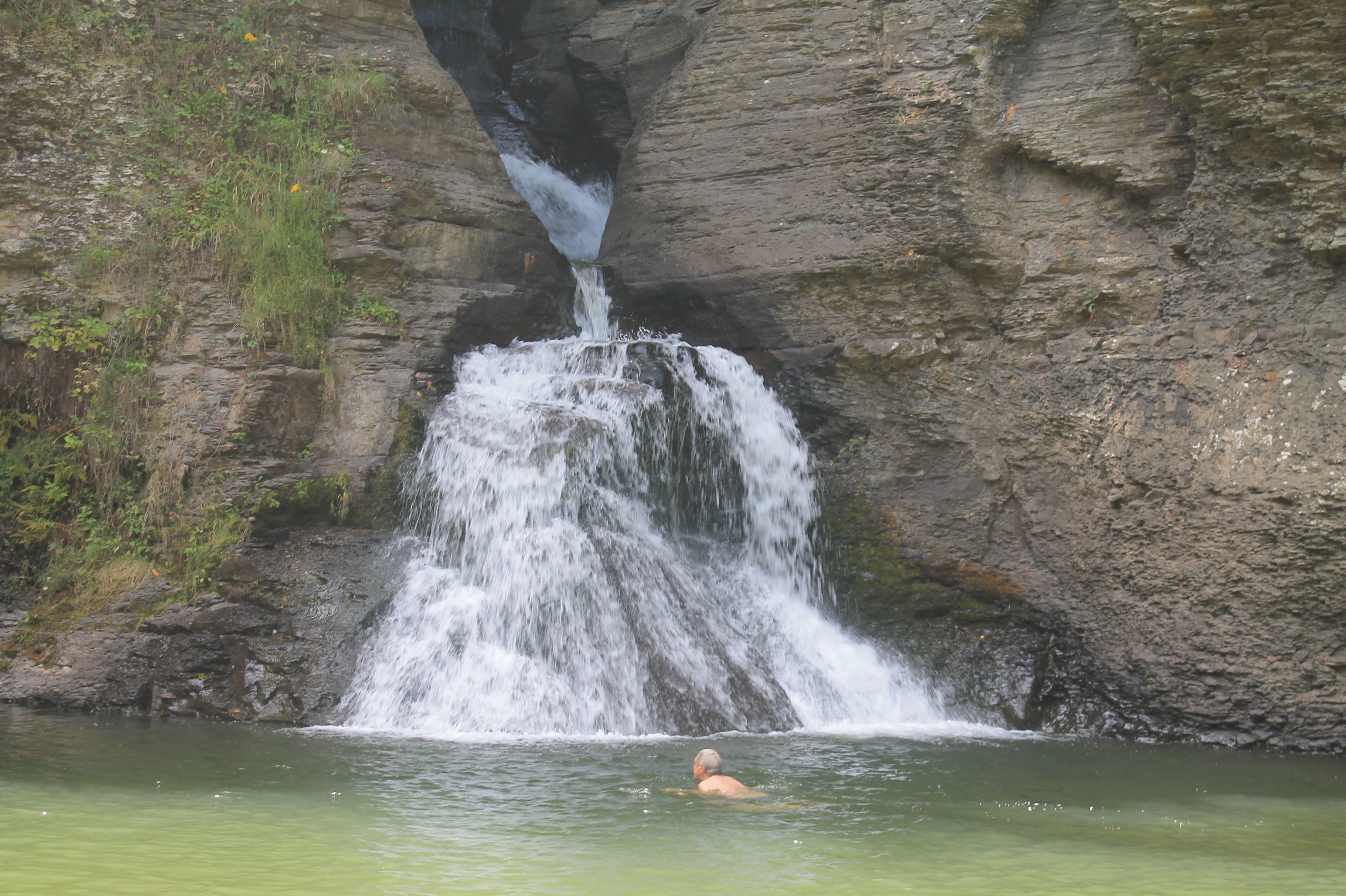
Swimmer Below Lower Falls
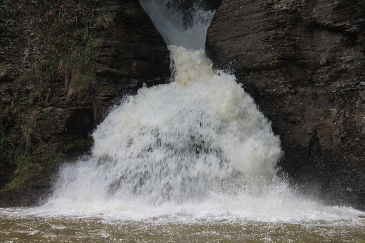
Coming Over Really Fast

Gone Fishing
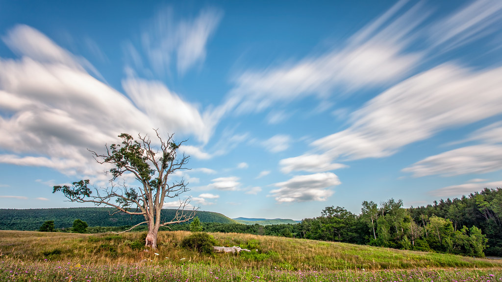
A Tree
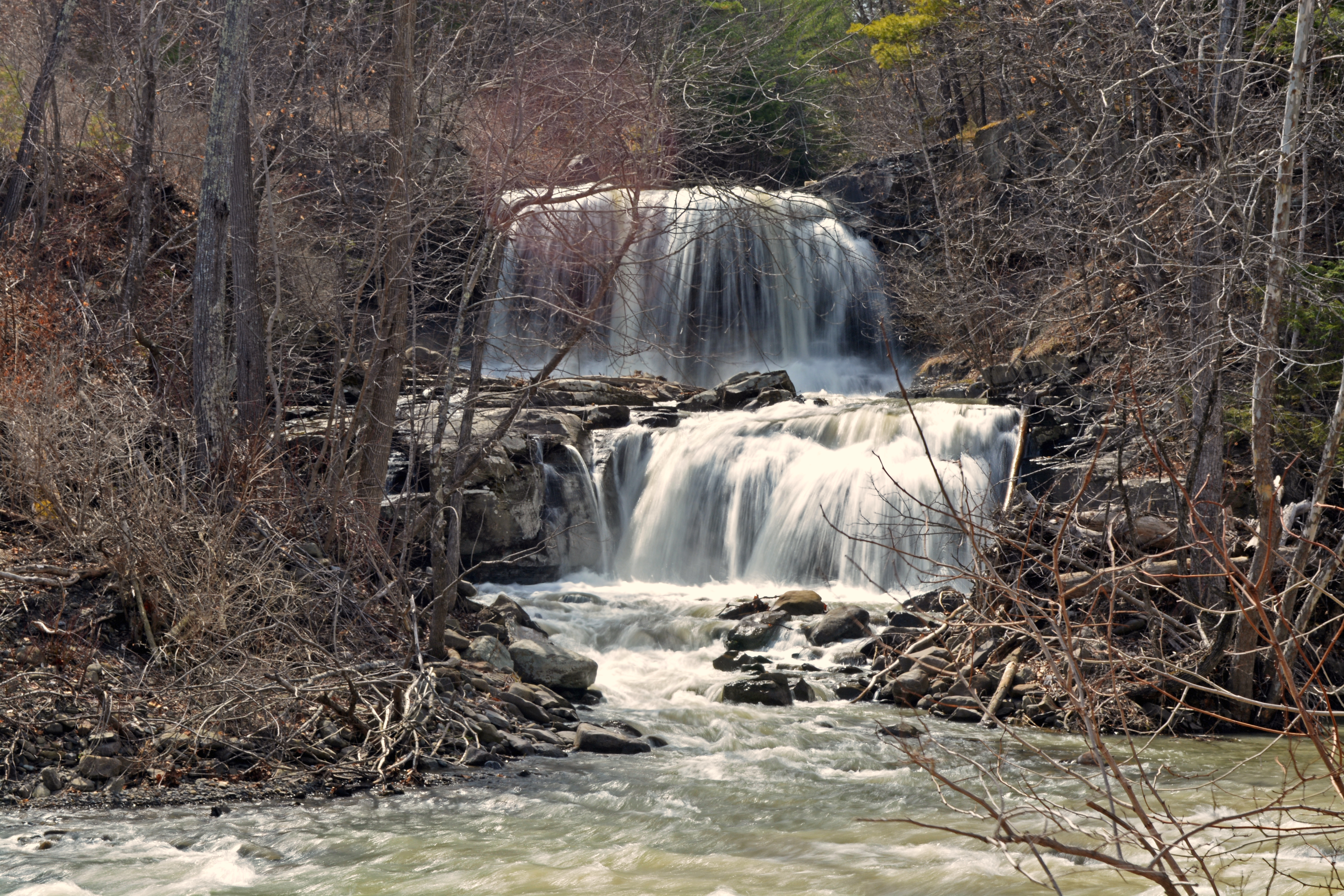
Mill Creek Falls

IMAG0391.jpg

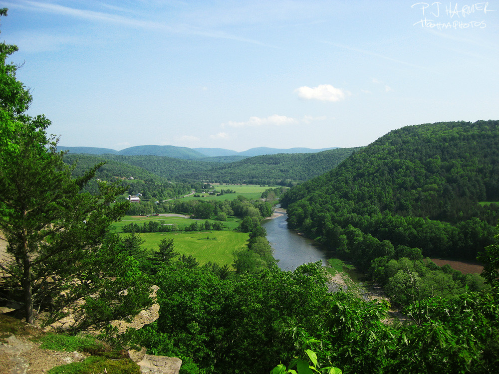
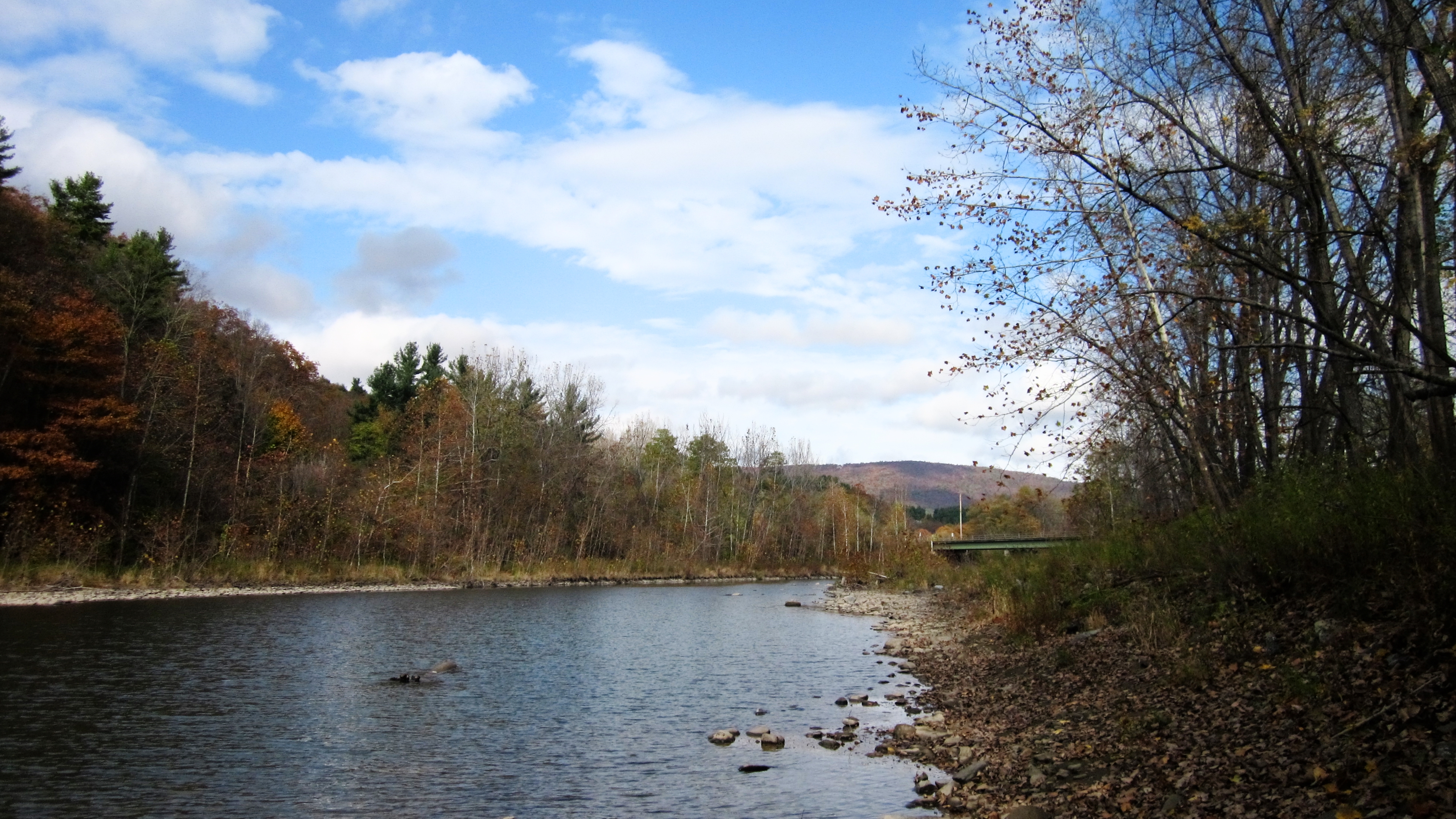
Middleburgh,NY
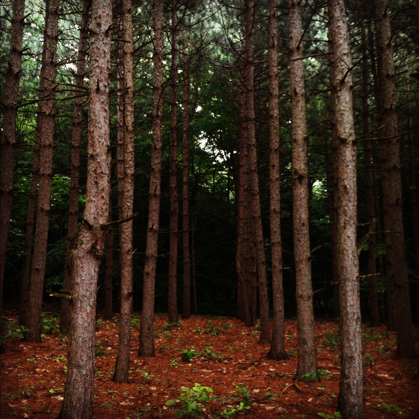
into the woods..
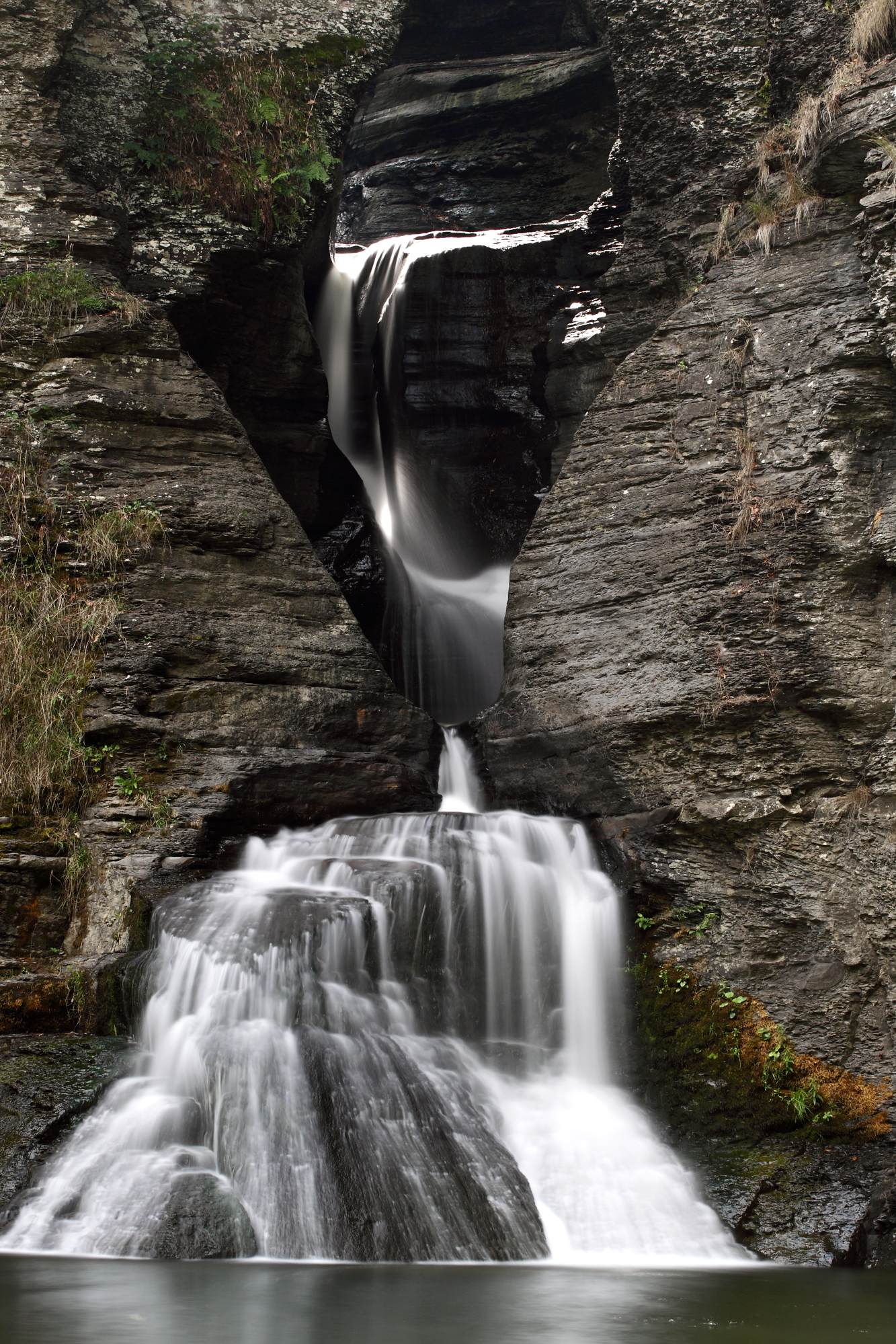
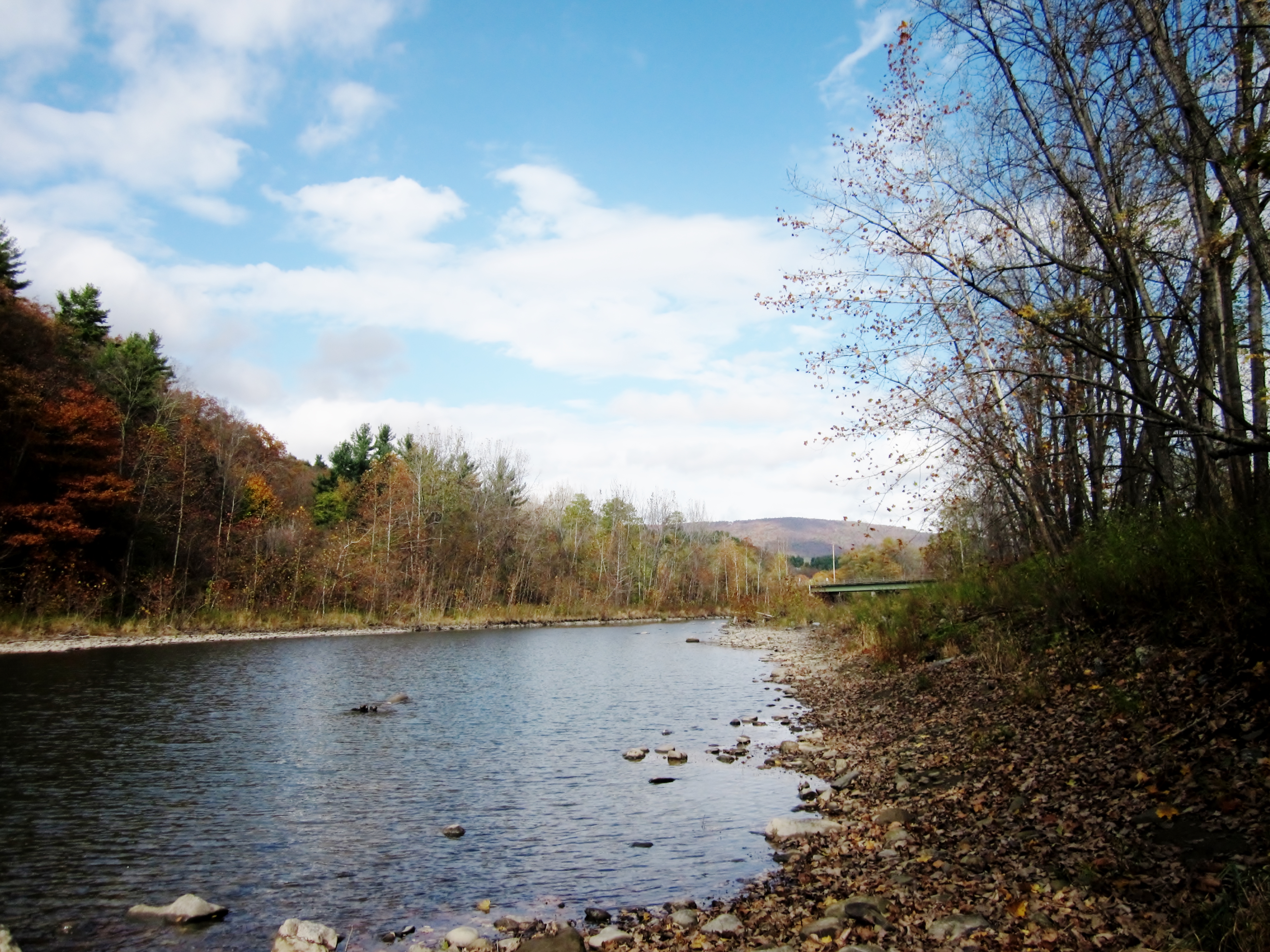
Mine Kill Falls
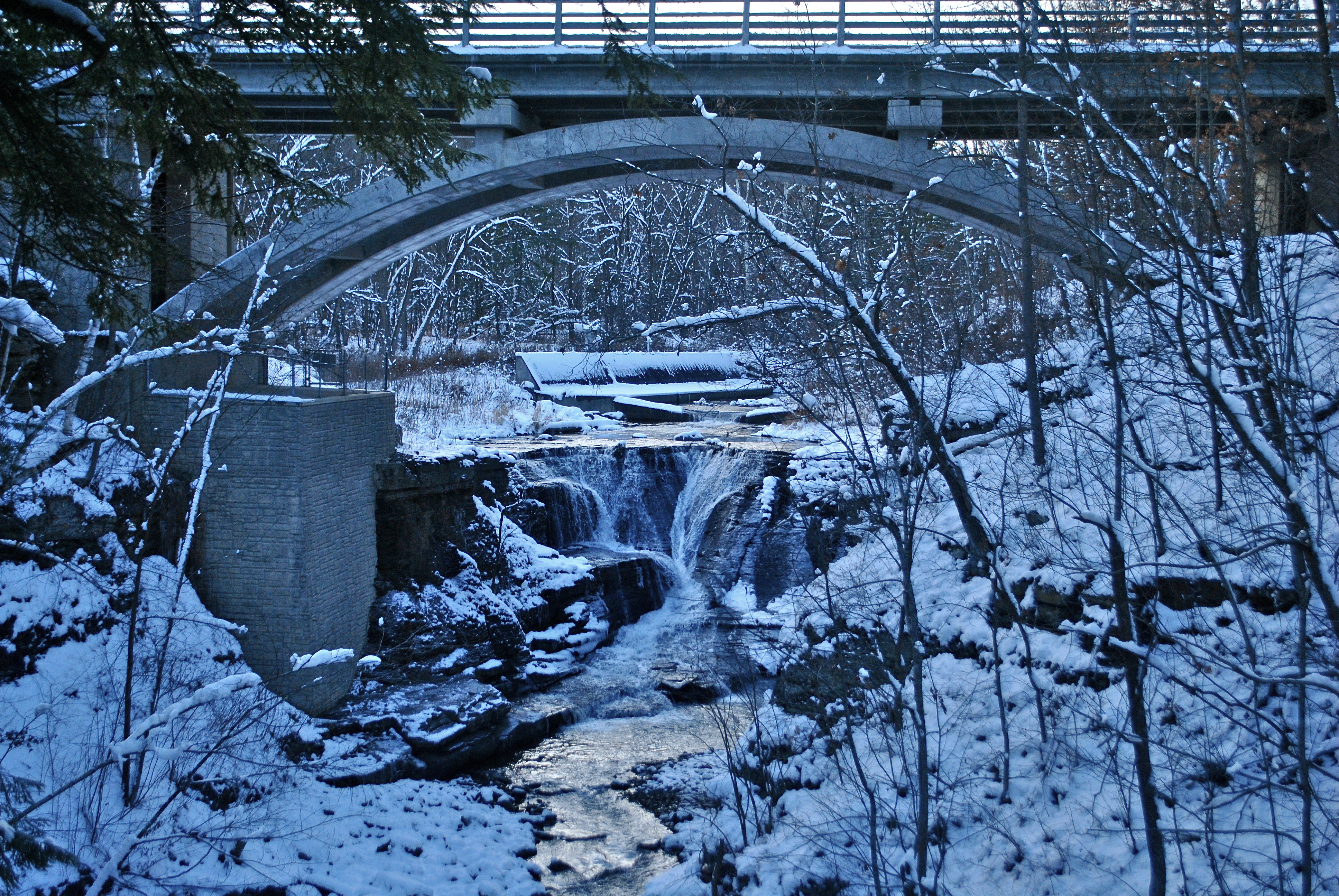
Minekill Bridge

IMAG0390.jpg
Middleburgh, NY
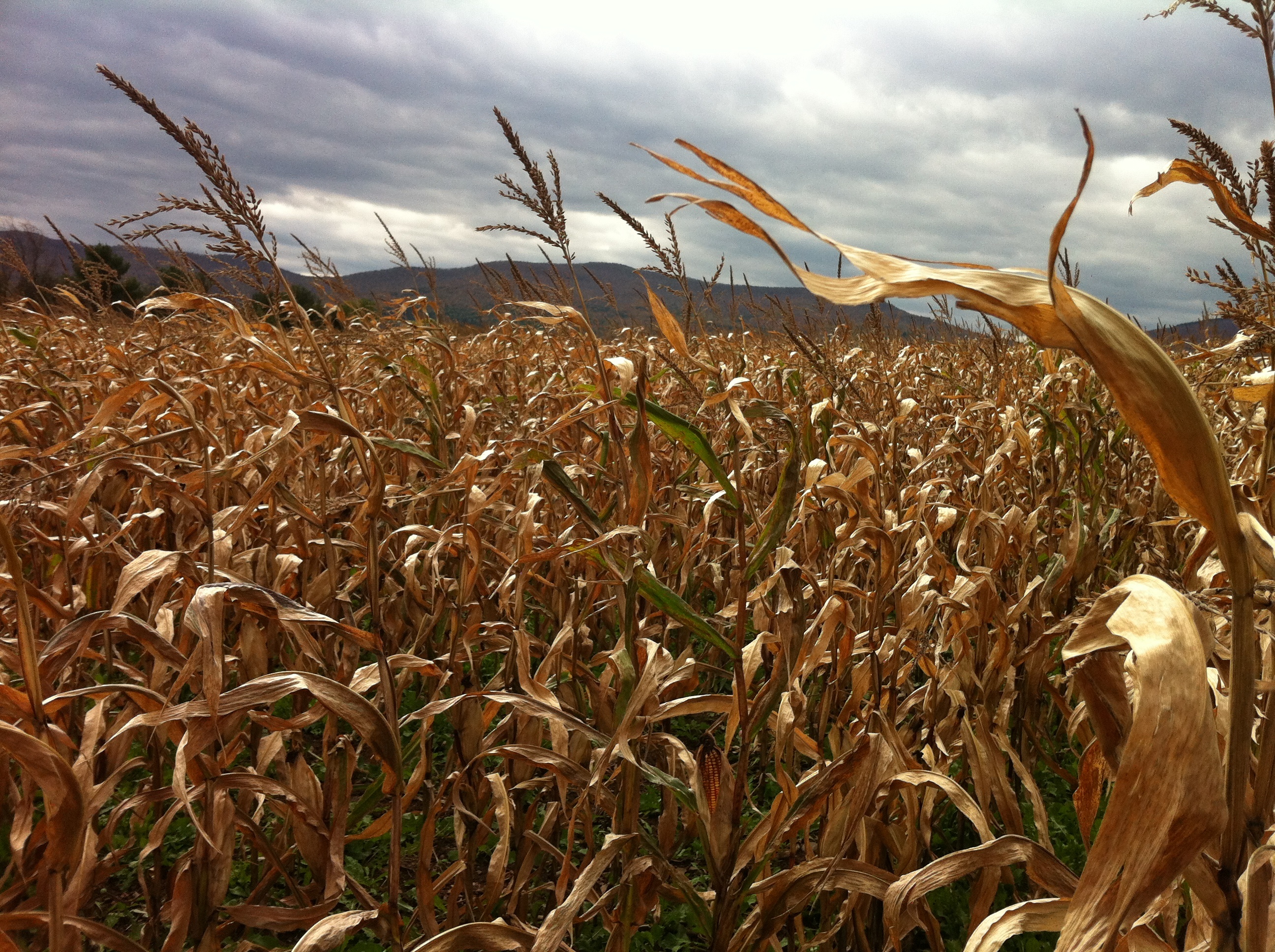
A-Maize-ing
Middleburgh,NY
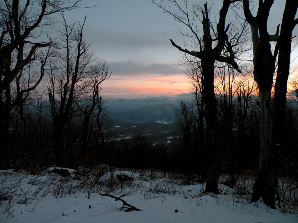
Thanksgiving morning walk.

Mine Kill State Park
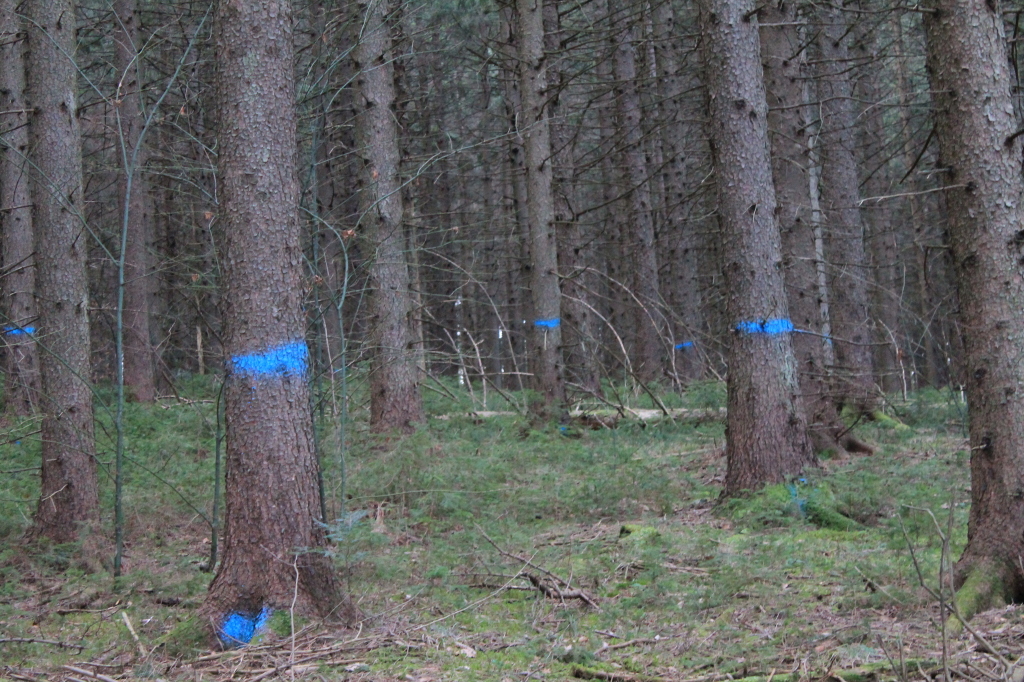
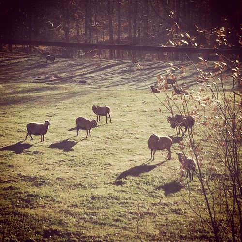
Timber to Be Cut
Topographic Map of Hubbard Rd, Gilboa, NY, USA
Find elevation by address:

Places near Hubbard Rd, Gilboa, NY, USA:
198 Ottis Hall Rd
103 Hickory Tree Rd
Broome Center Road
483 Brand Rd
Hubbard Road & Bear Kill Road
Brand Road
202 Guinea Rd
1000 Flat Creek Rd
Bear Kill Road
448 Spencer St
Bull Hill Road
Harrington Road
Conesville
Conesville
Bates State Forest Road
331 Beaver Hill Rd
317 Zach Hill Rd
Hall Road
Bremer Rd, Gilboa, NY, USA
670 Gates Hill Rd W
Recent Searches:
- Elevation of Gateway Blvd SE, Canton, OH, USA
- Elevation of East W.T. Harris Boulevard, E W.T. Harris Blvd, Charlotte, NC, USA
- Elevation of West Sugar Creek, Charlotte, NC, USA
- Elevation of Wayland, NY, USA
- Elevation of Steadfast Ct, Daphne, AL, USA
- Elevation of Lagasgasan, X+CQH, Tiaong, Quezon, Philippines
- Elevation of Rojo Ct, Atascadero, CA, USA
- Elevation of Flagstaff Drive, Flagstaff Dr, North Carolina, USA
- Elevation of Avery Ln, Lakeland, FL, USA
- Elevation of Woolwine, VA, USA