Elevation of Fillmore St, Staunton, VA, USA
Location: United States > Virginia > Staunton >
Longitude: -79.075749
Latitude: 38.151599
Elevation: 440m / 1444feet
Barometric Pressure: 96KPa
Elevation Map:
Satellite Map:
Related Photos:

Reaching for the Heavens

White Star Mills

Augusta Street, Staunton

Clouds Over Staunton

Augusta County, Virginia - Hillside with Cattle at Sunrise - Explore
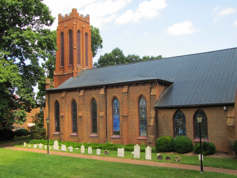
Summer at Trinity Church

Heading Downtown
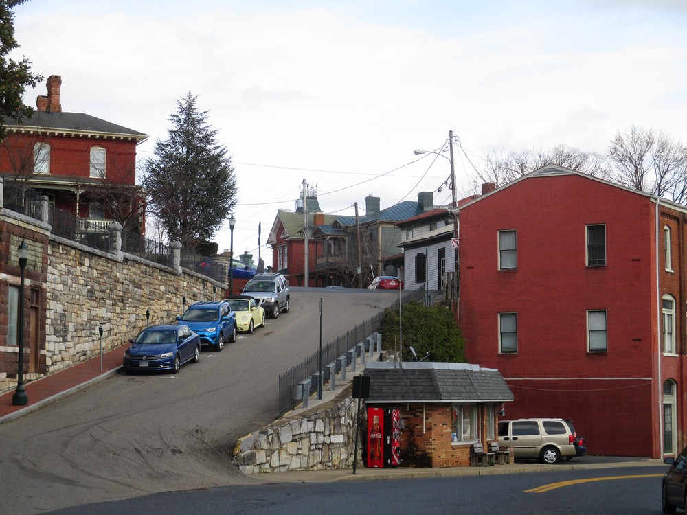
Uphill View

Blackfriars Banners

Station Platform and Bridge

Downtown View, Staunton, VA
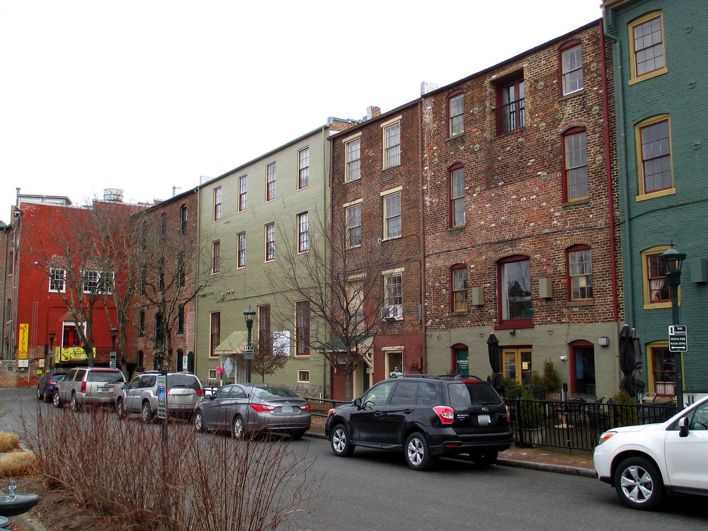
Businesses in Staunton's Wharf District

today is a winding road

Fire Escape

View from Train Station - Looking West (Staunton VA)

Trinity Episcopal Church

Downtown Staunton from Sears Hill
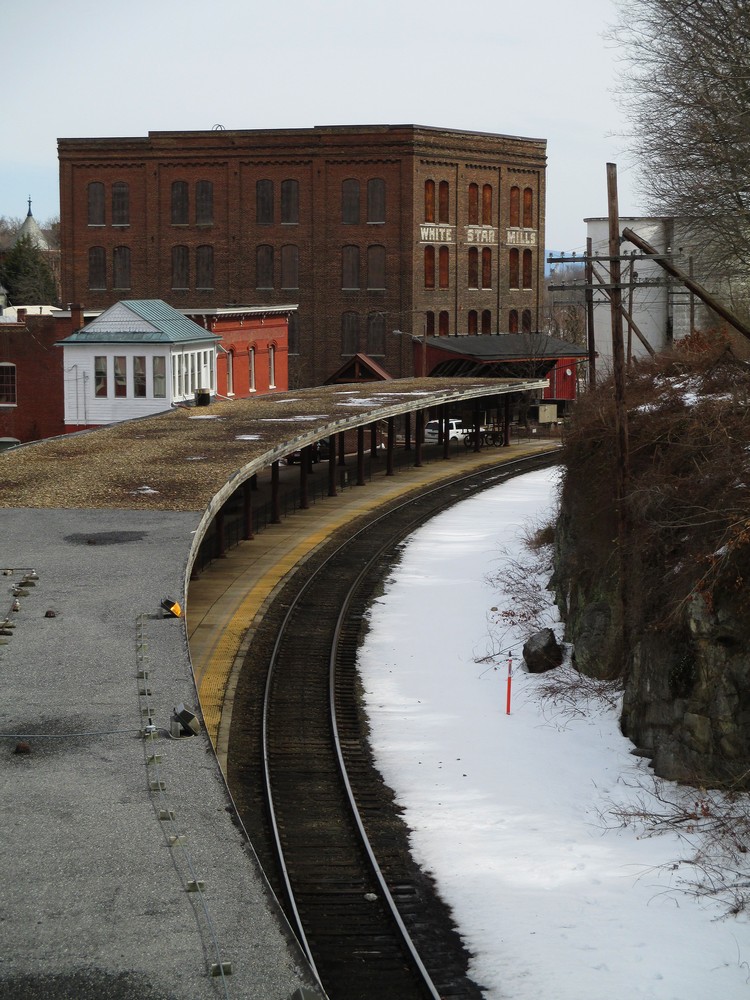
Late Winter Platform View

Lagoon Nebula M8 & Trifid Nebula M20 setting 2012

Moon Spica & Saturn

Waynesboro Outlet Village following first fire training exercise

C&O in the Mountains

1600 English Farm

The Cows wouldn't come Home
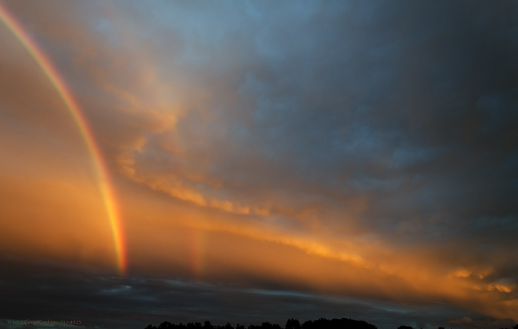
Ethereal Clouds & Rainbow 2012 SEPT 08
Frontier Culture Museum - Early American Schoolhouse

Frontier Culture Museum - Woodland Trail

Life in Shenandoah Valley

Wisteria in Silhouette

Red Crape Myrtle

The Field & Fence 2012

Shenandoah Valley and the Blue Ridge Mountains with Round Hill from White Hill Rd in Snow HDR
Backyard & Moon 2012

The Field 2012

In the Valley of Virginia
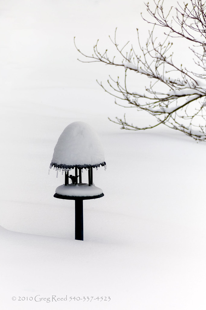
Bird Feeder in Snow 2010

Reaching for the Sky

West Beverly at Augusta Street

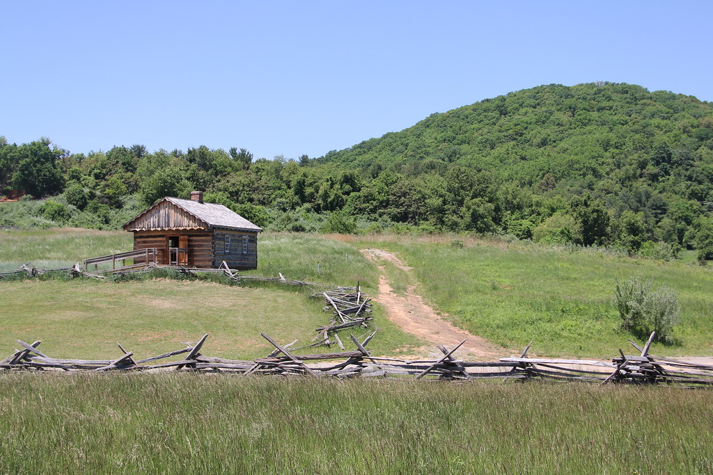
1600s England - The First Glimpse of the Staunton Frontier Culture Museum (DTB_5447)

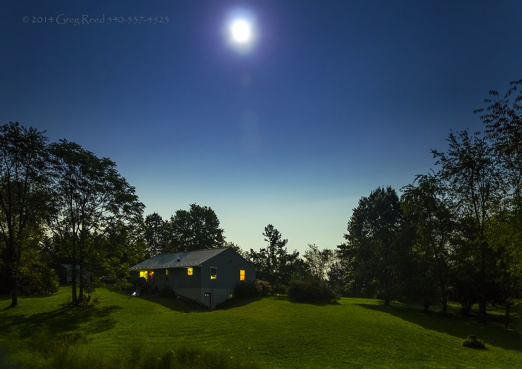
Moon & Back Yard

Shenandoah Valley and the Blue Ridge Mountains with Round Hill from White Hill Rd Panorama
Topographic Map of Fillmore St, Staunton, VA, USA
Find elevation by address:

Places near Fillmore St, Staunton, VA, USA:
214 W Beverley St
Staunton
202 S Lewis St
Amtrak Station
Fayette Street
Staunton, Va (sta)
940 W Beverley St
402 Marquis St
201 State St
201 Williams St
807 Sudbury St
128 Hillside Pl
121 Overlook Rd
1425 Aiken St
784 S Brae Burn Pl
518 F St
10 Grubert Ave
330 Grubert Ave
1607 Armstrong Ave
723 Hillcrest Dr
Recent Searches:
- Elevation of Congressional Dr, Stevensville, MD, USA
- Elevation of Bellview Rd, McLean, VA, USA
- Elevation of Stage Island Rd, Chatham, MA, USA
- Elevation of Shibuya Scramble Crossing, 21 Udagawacho, Shibuya City, Tokyo -, Japan
- Elevation of Jadagoniai, Kaunas District Municipality, Lithuania
- Elevation of Pagonija rock, Kranto 7-oji g. 8"N, Kaunas, Lithuania
- Elevation of Co Rd 87, Jamestown, CO, USA
- Elevation of Tenjo, Cundinamarca, Colombia
- Elevation of Côte-des-Neiges, Montreal, QC H4A 3J6, Canada
- Elevation of Bobcat Dr, Helena, MT, USA